
Žman
About this place
Žman occupies Žmančica Bay on Dugi Otok’s eastern shore, framed by the hills of Gračine, Veliki Slotnjak and Mali Slotnjak. Recorded as Mezano in the 13th century, the village also preserves the parish church of St John from the same broad period. Beyond the waterfront lies Žman’s defining inland landscape: the fertile fields around Malo Jezero and Veliko Jezero, long associated with olives, vines and other island crops. This meeting of a small harbour, cultivated ground and local produce gives Žman a character quite unlike Dugi Otok’s starkest limestone scenery. A day here can begin with a swim in Žmanšćica Bay, continue along the easy circuit through the two lake fields and end with locally made olive oil, cheese or wine. Žman also provides a starting point for the longer walking route towards Telašćica, the protected south-eastern landscape known for its sheltered bay, cliffs and saltwater Lake Mir. Drivers reach Dugi Otok on the Gaženica–Brbinj ferry, while passenger boats call at nearby Zaglav.
Žman is more than a waterfront village on Žmančica Bay: its daily landscape extends inland to the fields around Malo Jezero and Veliko Jezero. Gračine, Veliki Slotnjak and Mali Slotnjak rise behind the settlement, while its harbour faces the Zadar archipelago. The name Mezano appears in 13th-century records, and the parish church of St John is associated with the same period. Fertile ground around the two lakes made farming unusually prominent within this island setting, linking Žman particularly closely with wine, cheese and olive oil. Visitors can walk from the quay into these cultivated plots and see, within a compact area, the terrain that shaped the village’s identity.
Things to see
 Nature park

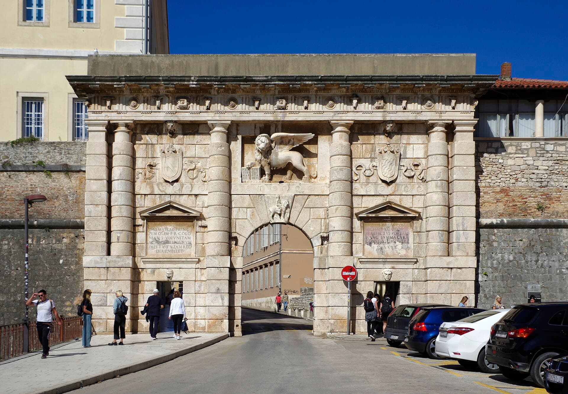
Kopnena Vrata/Porta terraferma
Landmark · Zadar
The 1543 Land Gate is Zadar’s monumental Renaissance entrance and one of the most recognisable elements of its Venetian defensive system.
18 km from Žman
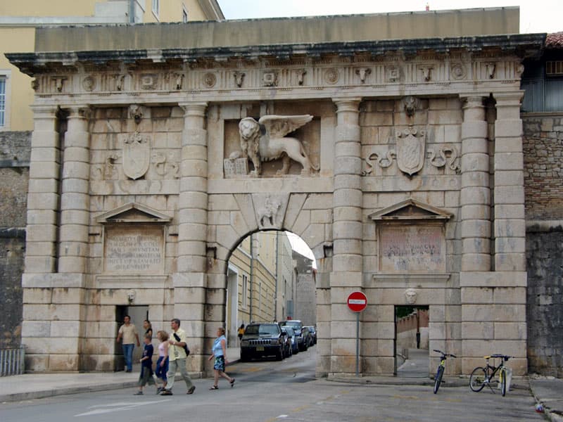
Defensive System of Zadar
Landmark · Zadar
Zadar’s Defensive System comprises Renaissance Venetian fortifications inscribed on the UNESCO World Heritage List since 2017.
18 km from Žman
Stays further afield
- Apartment
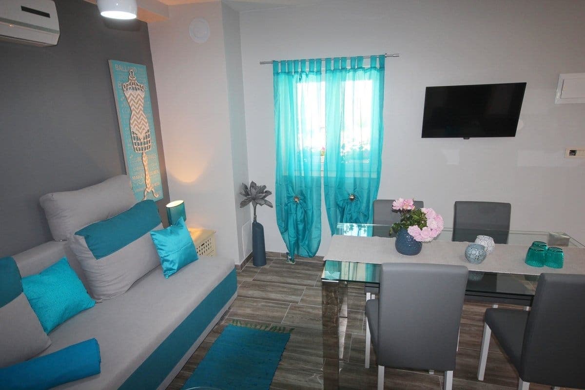 35 km from Žman
- Villa
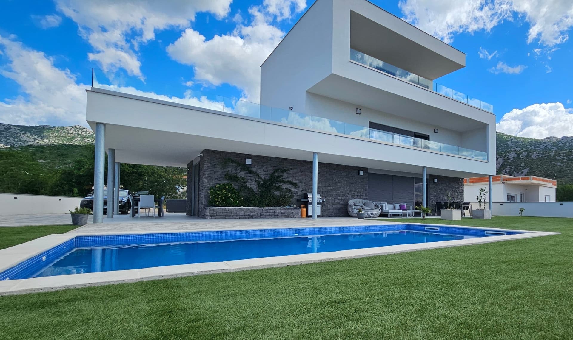 45 km from Žman
- Apartment
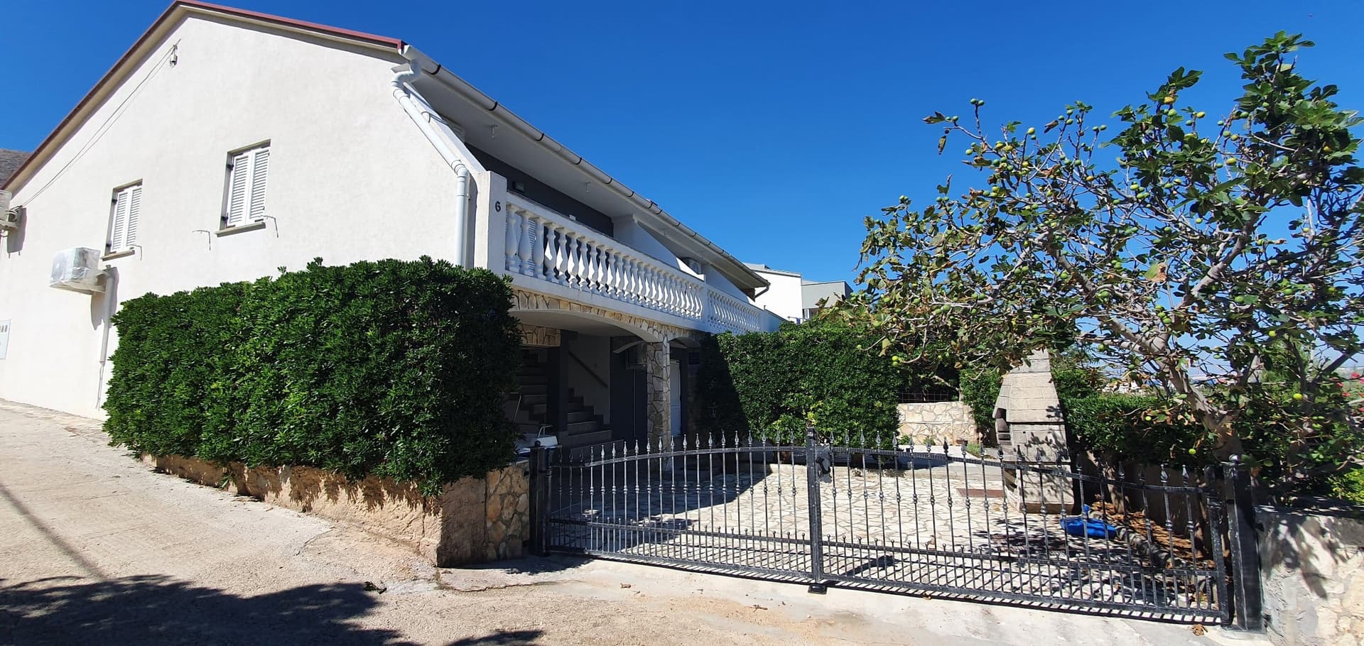 53 km from Žman
- Apartment
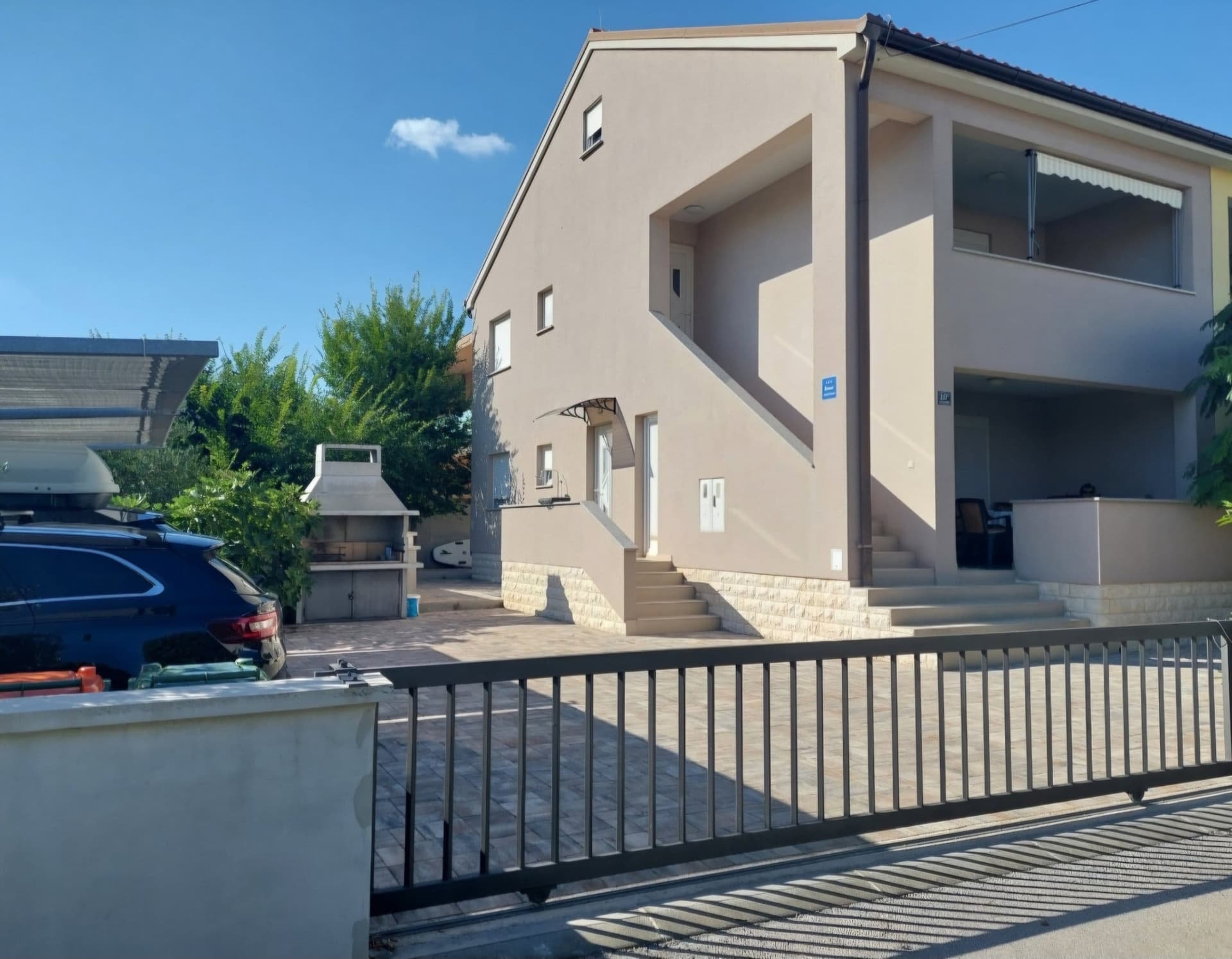 56 km from Žman
- Apartment
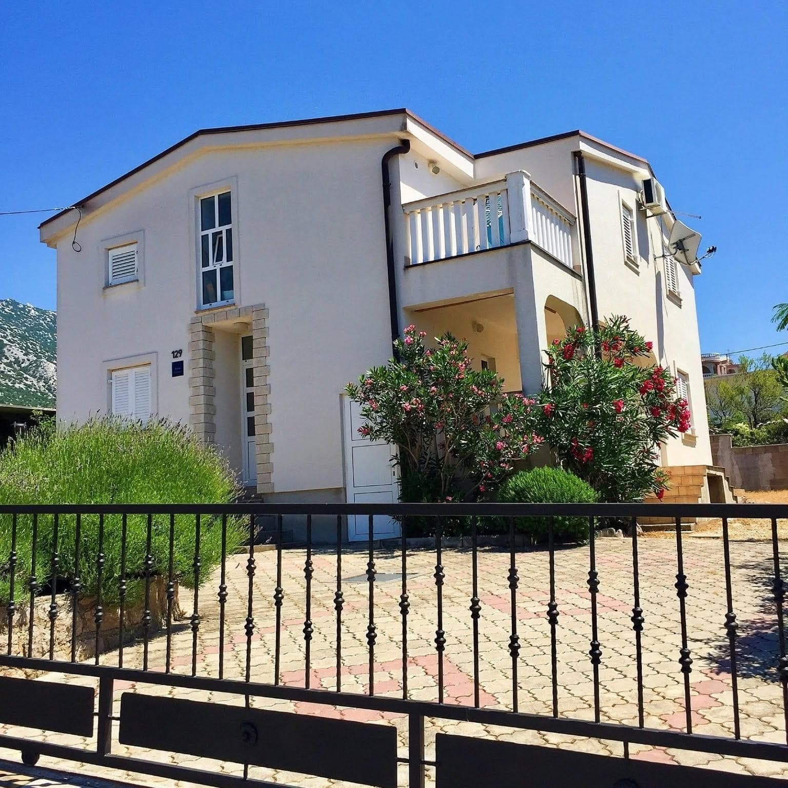 66 km from Žman
Be the first to list here
Guests looking for this place only see stays nearby for now. No commission, and enquiries come straight to you.
List your accommodation
Beaches
Swimming in Žman centres on sheltered Žmanšćica Bay, immediately beside the village and its small harbour. Croatia’s official bathing-water programme lists Žmanšćica as a monitored site; 20 samples were recorded during the 2025 season and the final water-quality grade was excellent. Along the village shore, formal access points and quay edges alternate with rocky sections, making water shoes useful away from the easiest entries. The part of the bay close to the houses is convenient for an early swim, but swimmers should remain clear of moored boats and the harbour’s manoeuvring area.
Bathing water quality nearby
- Uvala Bok · 1.7 kmnot classified
Source: European Environment Agency (EEA); data from Croatian authorities. · bathing water profile
Things to do
Begin getting to know Žman in Žmančica Bay, beneath Gračina and the Veliki and Mali Slotnjak hills. The parish church of St John dates from the 13th century, when records called the settlement Mezano. For an active continuation, take cycling route 8: it runs from Luka through Žman, Slotino Polje and Člavočevo Polje to Malo and Veliko Jezero. The official map lists this MTB route as 5.93 kilometres, with 100 metres of ascent and descent. The fields around Malo and Veliko Jezero remain a defining agricultural area for Žman.
Tours and activities
AdAd · partner offers: Viator, GetYourGuideThe partner handles booking, payment and support. StayBravo may earn a commission on bookings made through these links.How we choose offersWe choose offers based on the page you are viewing: the partner destination for this place or the nearest one (with its distance), and on a sight page only offers that mention it. We show offers rated at least 4.3 with at least 10 reviews, without multi-day tours or pure transfers, ordered by rating adjusted for the number of reviews and then by the partner’s order. We do not use data about you, and the commission does not affect the order.GetYourGuide offers are selected and ordered by GetYourGuide based on the name of the nearest larger town or national park; we do not influence their selection and do not use data about you.Viator
Nearest destination: Zadar (19 km)
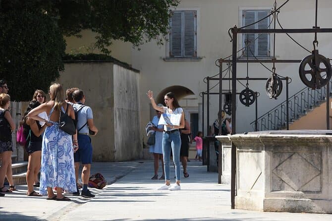
Zadar Highlights: Old Town, Sea Organ & Local Tastings (opens in a new tab)
A 2-hour small-group walk through Zadar's Old Town covering the city's top landmarks, the world-unique Sea Organ, and a tasting of local maraschino liqueur and cheese with a licensed local guide.
Rated 5 out of 5 · 478 reviews· 2 h
Free cancellation
from €20
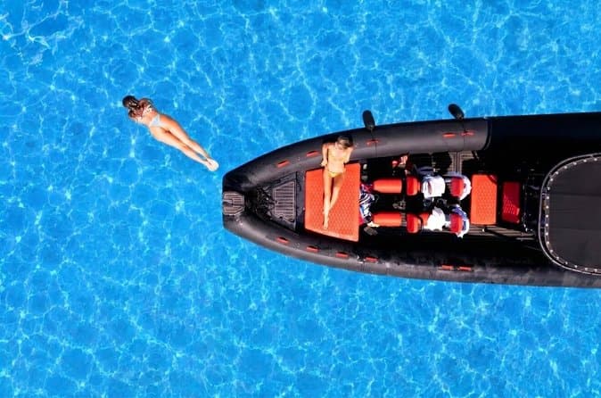
Zadar: Luxury Island Boat Tour, Snorkeling & Unlimited Wine (opens in a new tab)
Embark on an unforgettable adventure and explore the wonderful islands that adorn our Adriatic Sea. You have two types of tour, 4 hour with 3 stops and 3 hour with 2 stops. Explore the crystal clear…
Rated 5 out of 5 · 1,393 reviews· 4 h
Free cancellation
from €47

From Zadar Plitvice Lakes Guided Day Tour with Tickets (opens in a new tab)
Discover the UNESCO-listed Plitvice Lakes with a passionate local guide and enjoy one of the easiest ways to visit Croatia’s most iconic national park from Zadar. Travel through the scenic Croatian…
Rated 4.9 out of 5 · 1,689 reviews· 10 h
Free cancellation
from €45
Zadar: Romantic Luxury Sunset Boat Tour with Aperol Spritz (opens in a new tab)
We will start our tour from the oldest harbor in Zadar, Foša. After that we will cruise by the Zadar seafront and famous Sea Organs where thousands of people come every night to see world famous…
Rated 5 out of 5 · 330 reviews· 1.3 h
Free cancellation
from €25
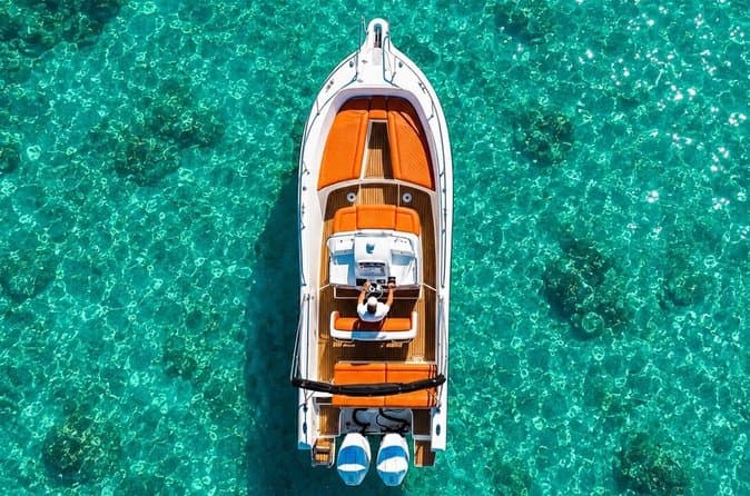
Zadar: Half Day Island Hopping Tour & Old Town Panoramic Cruise (opens in a new tab)
Step off the beaten path and discover the authentic soul of Dalmatia. On the islands, time moves slower and local traditions are still alive. Swim, snorkel, sunbathe, stroll through charming…
Rated 4.9 out of 5 · 418 reviews· 4 h
Free cancellation
from €19
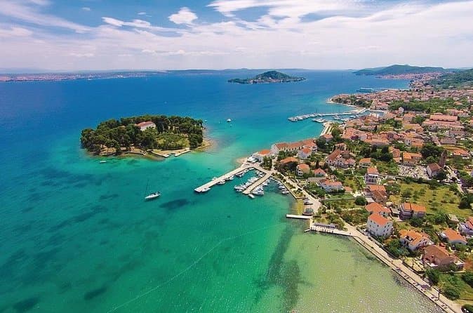
Private Sailing Tours in Zadar Archipelago (opens in a new tab)
We are a family business with a vision of presenting the beautiful nature and history of Zadar and Island Ugljan, Croatia. Sail away with us and absorb the sea breezes and panoramic views over Zadar…
Rated 5 out of 5 · 135 reviews· 4 h
Free cancellation
from €450
GetYourGuide · Zadar
We show GetYourGuide offers once you allow their cookies.
Practical information
Getting there and around
Cars and bicycles reach Dugi Otok aboard Jadrolinija’s ferry from Zadar’s Gaženica port to Brbinj; the published crossing time is one hour and 40 minutes. From Brbinj, the island road runs south to Žman. Foot passengers can instead use the boat connection to Zaglav, the next settlement south of Žman, and arrange the final local transfer from there. Žman stands on Dugi Otok’s main lengthwise road: Sali and Telašćica lie to the south, while Luka, Savar and Brbinj are reached northbound. Sailing frequencies vary by season, so both the ferry and passenger-boat timetable should be checked for the intended travel date.
Frequently asked questions
How long is the Žman lake circuit?
Route 8 via Malo Jezero and Veliko Jezero is 8.1 kilometres long and takes about two and a half hours.
When was Žman’s Church of St John built?
The Dugi Otok Tourist Board dates the Church of St John to the 13th century, when Žman was recorded as Mezano.
Can you walk from Žman towards Telašćica?
Yes. Route 9 runs via Malo Jezero and Dugo Polje towards Telašćica, covering 15 kilometres in an estimated four and a half hours.
Nearby
Žman
Open in OpenStreetMap(opens in a new tab)Smaller places
straight-line distance
Related guides
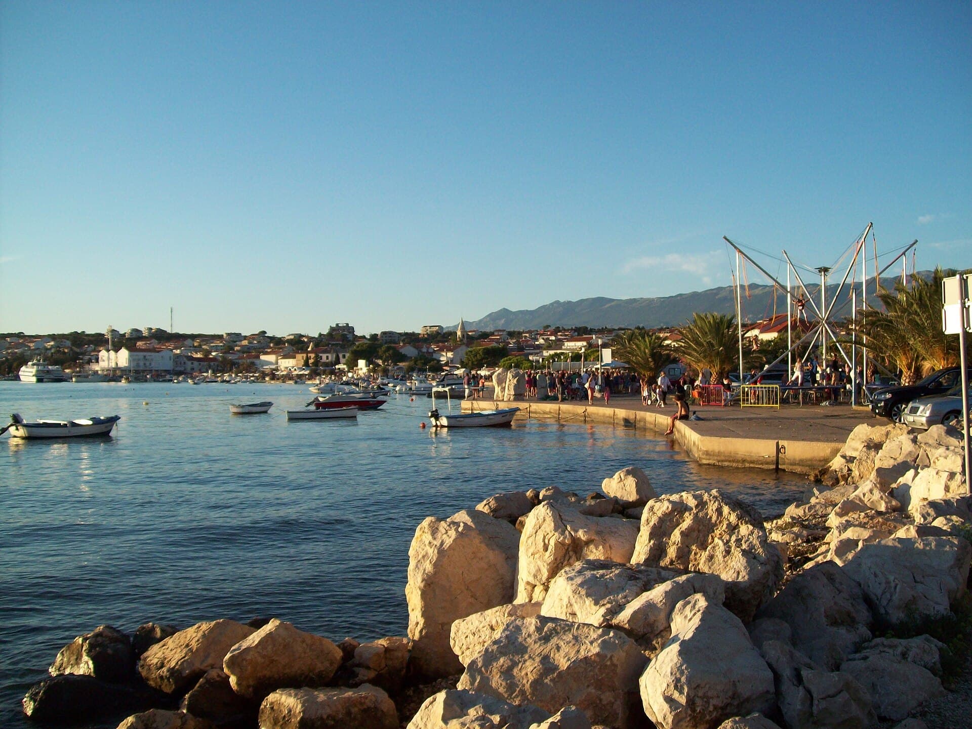
Novalja
Novalja curves around a bay on Pag’s western shore, with the waterfront, Trg Bazilike and streets around Mala crikva forming the centre. Landing places and restaurants line the water, while…
Read the guide
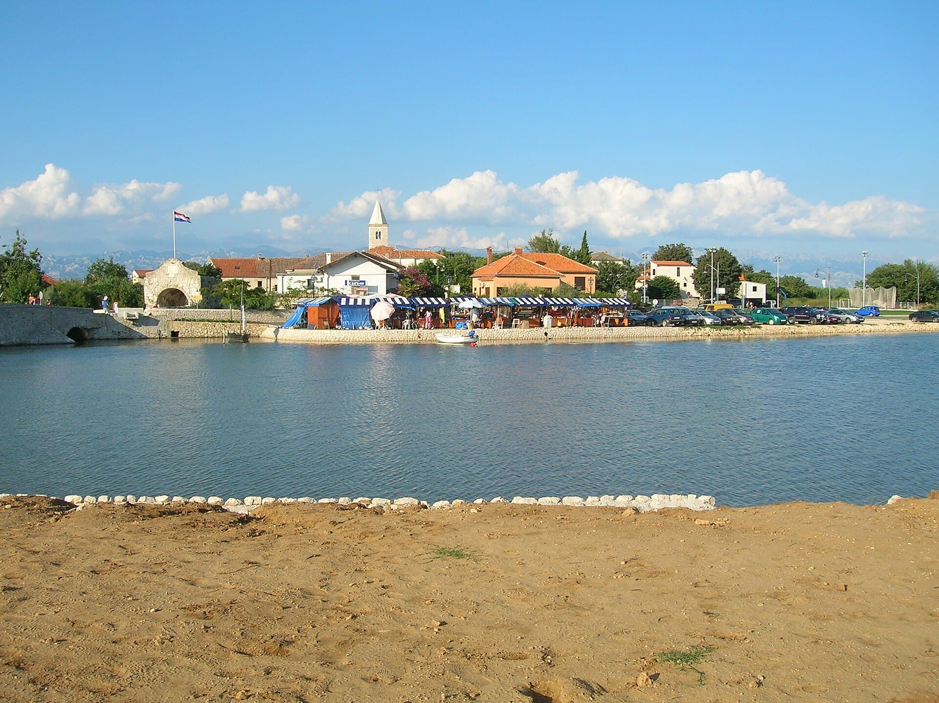
Nin
Nin’s historic centre occupies a low islet within a lagoon, connected to the mainland by bridges. Crossing into the centre creates a different first impression from arriving in nearby…
Read the guide
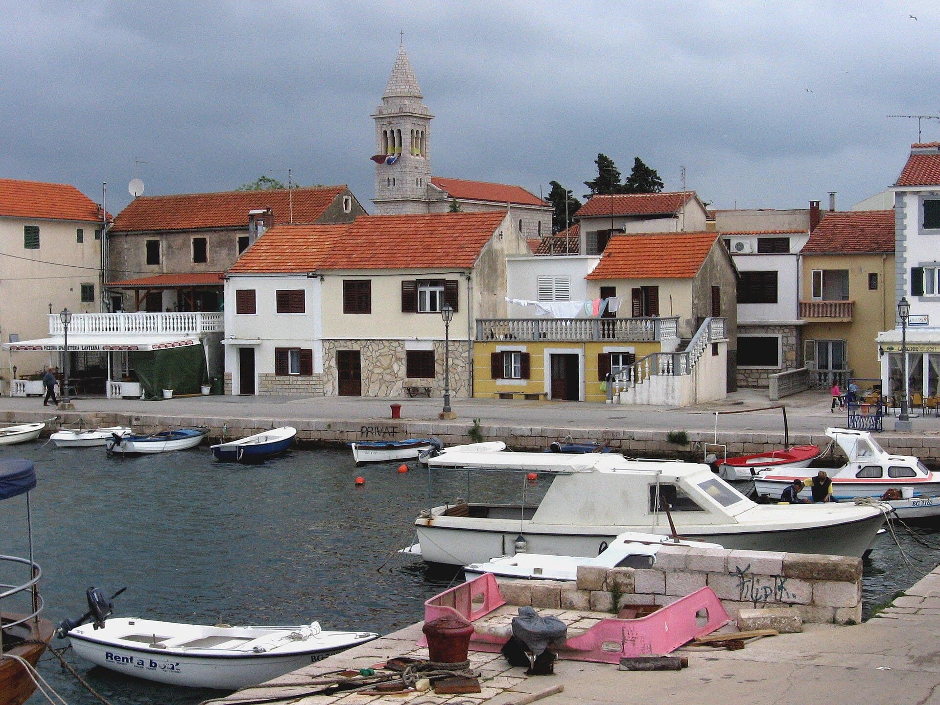
Pakoštane
Pakoštane occupies a narrow strip between the Adriatic and Lake Vrana, allowing visitors to move from a Dalmatian waterfront to the reeds of an ornithological reserve within minutes. The…
Read the guide
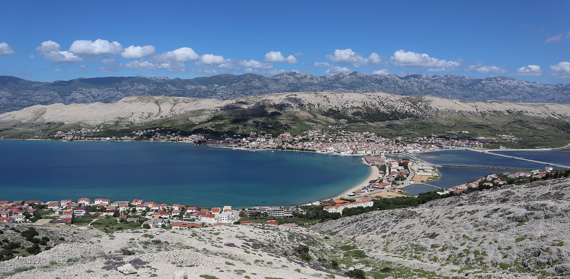
Pag
Pag is a planned stone town whose orderly street grid converges on Petar Krešimir IV Square, the Collegiate Church of the Assumption and the Rector’s Palace. The settlement moved to its…
Read the guide
Know Žman? Correct us
Tell us in your own words what is not accurate. We check right away.Do not enter personal data. Corrections are checked by the StayBravo AI assistant; changes to the description are approved by an editor. Use the form instead
Do you know Žman?
Help the guests who come after you.
Help us complete
Nothing is published without an editor’s review.Report illegal content
Photo credits: Žman, Luka — J.Vítek (CC BY 3.0) · Zaglav — Mich973 (CC BY-SA 4.0) · Sali — Tatyana Peshkova (CC BY-SA 4.0) · Mali Iž, Veli Iž — Ambroix (CC BY-SA 4.0) · Rava — Mate Mavar (Public domain) · Kali — Jean-no (CC BY-SA 3.0) · Kukljica — štefan (CC BY 3.0) · Ošljak, Preko — Lovro Rumiha from Zagreb (CC BY 2.0) · Preko — Andres rus (CC BY-SA 3.0) · Ždrelac — Aristokles at German Wikipedia (CC BY-SA 3.0) · Telašćica — Carsten Steger (CC BY-SA 4.0) · Štefano Castle — Jean-no (CC BY-SA 3.0) · Kopnena Vrata/Porta terraferma — Berthold Werner (CC BY-SA 4.0) · Defensive System of Zadar — Maestralno (Public domain) · Apartmani Rustica — Zdenko Dusevic (courtesy of the property owner) · Villa Slatki — Saša Slatki (courtesy of the property owner) · Apartmani Bukal — Partner (courtesy of the property owner) · APARTMAN COTA — Jadranka Cota (courtesy of the property owner) · Apartman Mira — Marijan Ćaćan (courtesy of the property owner) · Novalja — JoeTimBlackMax (CC BY-SA 3.0) · Nin — Amphisbène (CC BY 2.5) · Pakoštane — Roman Klementschitz, Wien (CC BY-SA 3.0) · Pag — Palauenc05 (CC BY-SA 4.0)