Dugi otok
About this place
Dugi otok stretches for about 45 kilometres and is generally only one to four kilometres wide, so its villages, beaches and excursions unfold along a single island spine. The south-east is occupied by Telašćica Nature Park, where a deeply indented bay, saltwater Lake Mir and open-sea cliffs form the island’s most dramatic landscape. In the north-west, Sakarun’s pale shore sits near Pantera Bay and the 42-metre Veli Rat lighthouse. Sali, the island’s largest settlement, has a centuries-old fishing identity and is a natural base for Telašćica and Kornati excursions; Brbinj serves as the principal vehicle-ferry port. The exposed south-west coast conceals coves such as Veli žal and Brbišćica, while the inhabited north-east provides more sheltered harbours at Božava, Sali and Veli Rat. A car or bicycle makes it possible to link the distant ends, although narrow local roads and rough approaches to coves reward slow driving. Jadrolinija’s 2026 car ferry from Zadar’s Gaženica port reaches Brbinj in about one hour and forty minutes, while passenger vessels from Zadar serve Sali and Zaglav.
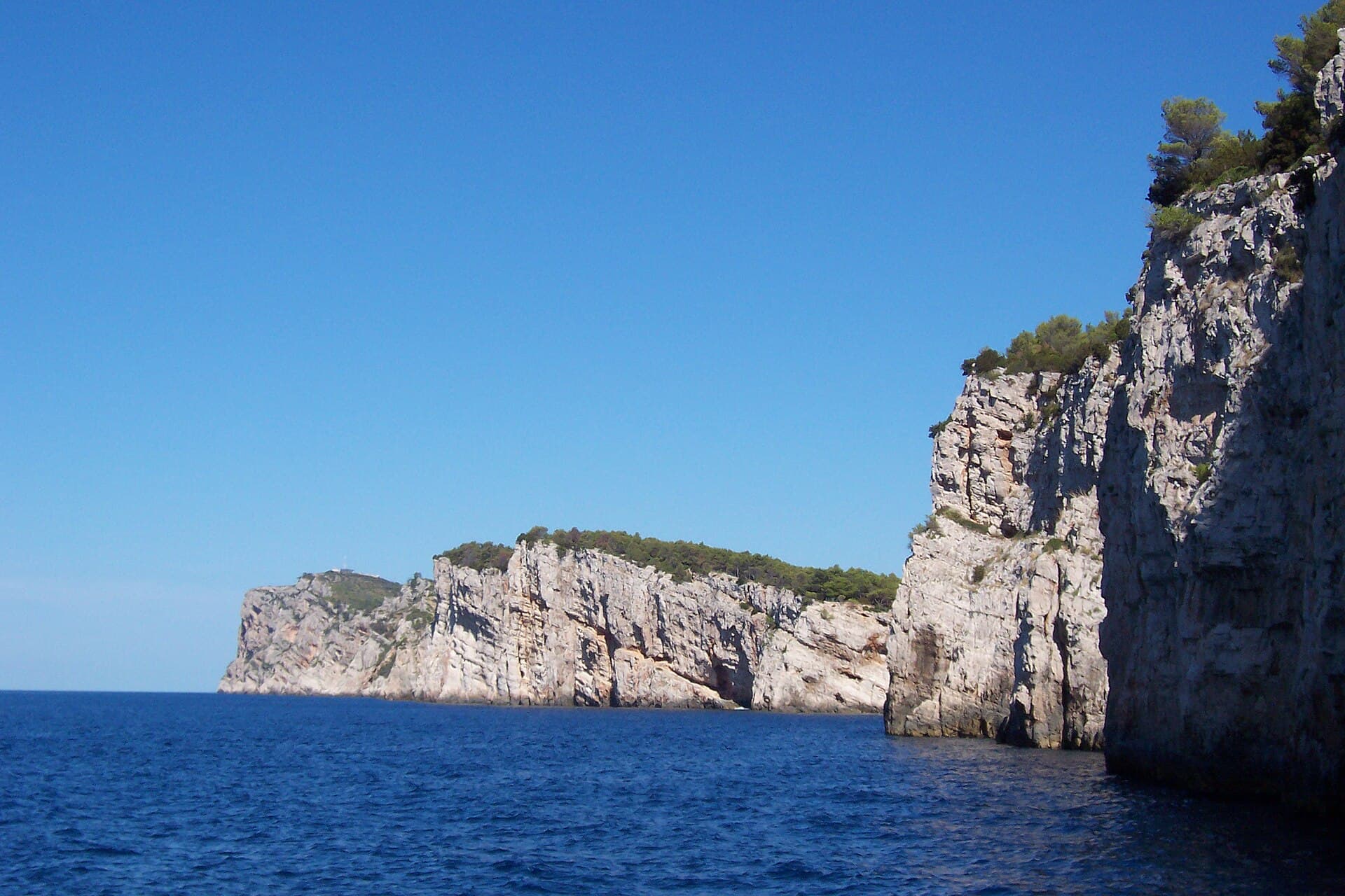
Dugi otok’s identity comes from its elongated form and the sharp contrast between its two coasts. It is about 45 kilometres long, one to four kilometres wide, and rises to 338 metres at Vela Straža. The open south-western shore contains cliffs, caves and coves exposed to the Adriatic; the north-east faces the Zadar archipelago and holds most of the island’s twelve settlements and safer harbours. Sali developed around fishing, documented in Telašćica by the late 10th century, while the village name refers to former saltworks. That division still shapes a visit: major natural sights pull travellers towards the outer coast, whereas accommodation, shops and regular boat connections are concentrated mainly along the inhabited side.
Stays further afield
- Apartment
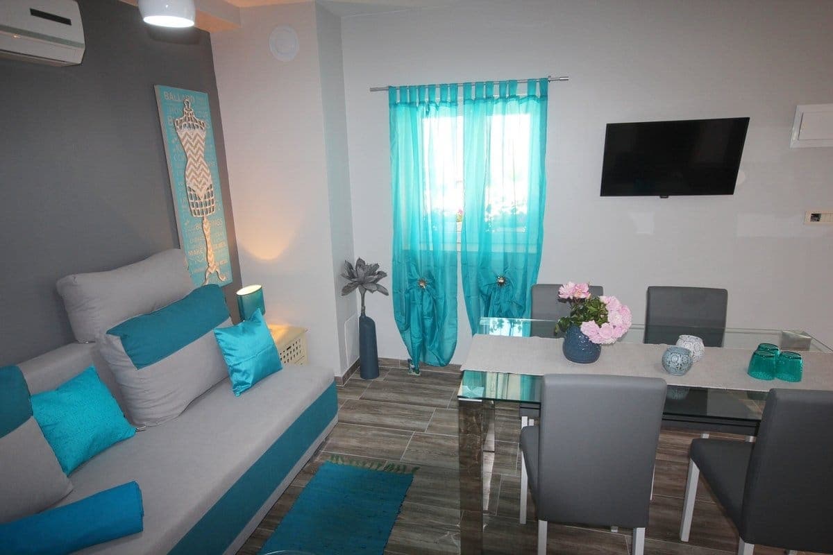 34 km from Dugi otok
- Villa
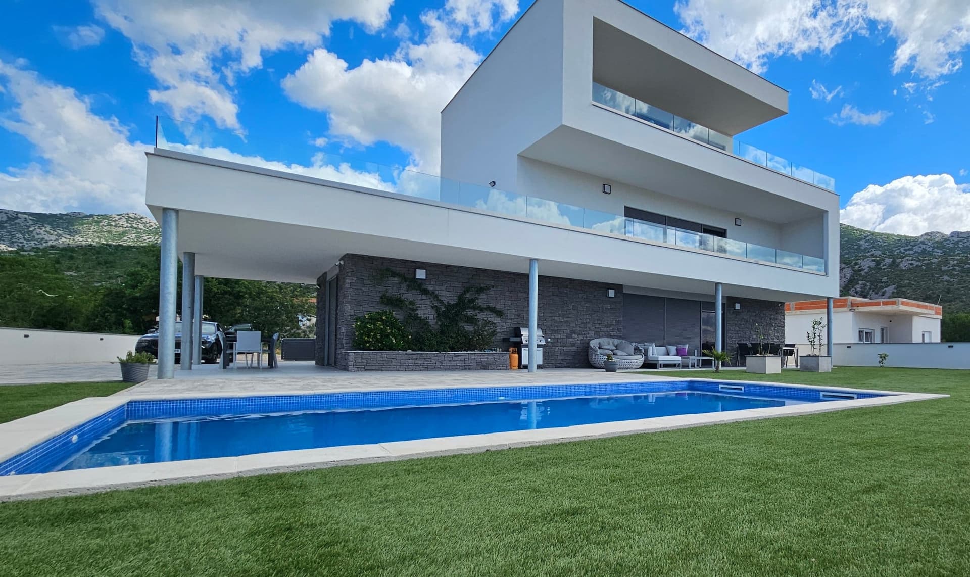 46 km from Dugi otok
- Apartment
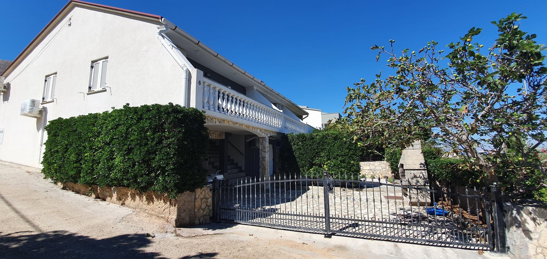 47 km from Dugi otok
- Apartment
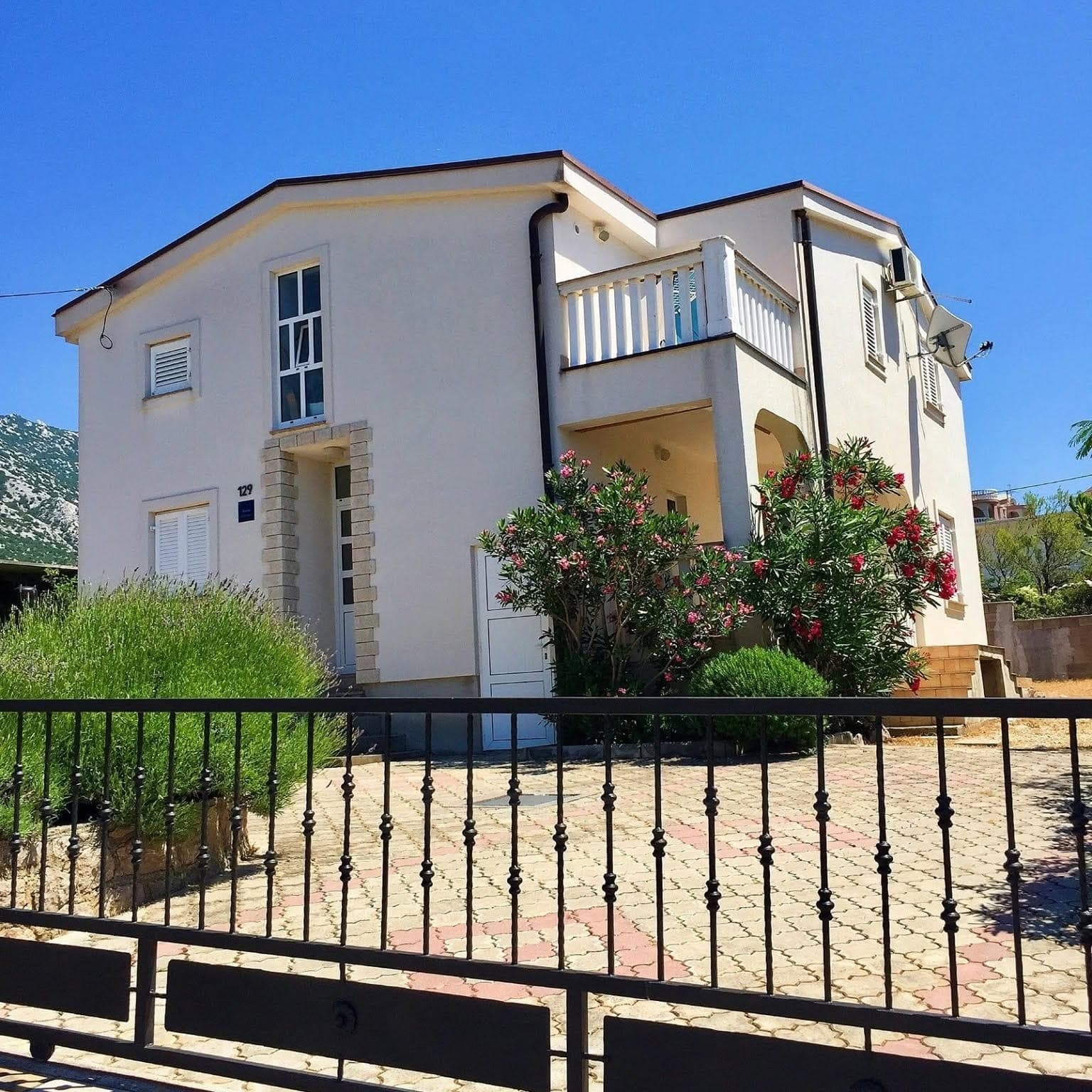 61 km from Dugi otok
- Apartment
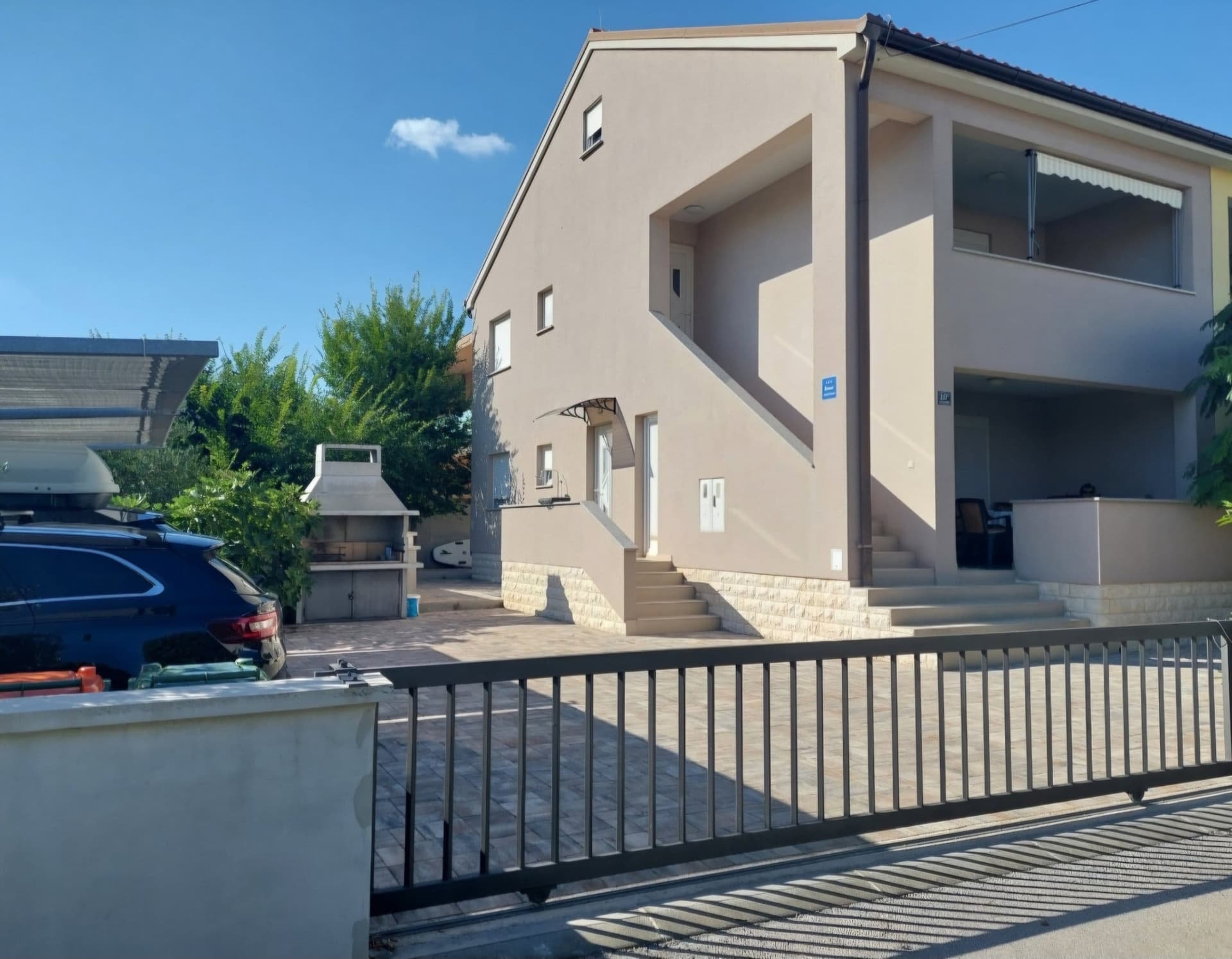 64 km from Dugi otok
Be the first to list here
Guests looking for this place only see stays nearby for now. No commission, and enquiries come straight to you.
List your accommodation
Things to see
Telašćica brings together three defining scenes: a deep natural harbour, saltwater Lake Mir and seaward cliffs that approach 200 metres above the Adriatic in places. The park covers 70.5 square kilometres of land and sea, with its road entrance at Dolac. At the opposite end of the island, the 42-metre Punta Bjanca lighthouse near Veli Rat is the tallest lighthouse tower on the Adriatic. Strašna peć, between Savar and Luka, became Croatia’s first cave arranged for tourist visits in 1900. Sali adds a cultural layer through its Gothic parish church of the Assumption and the historic Rančić, Gverini and Petricioli residences.
 Nature park


Beaches
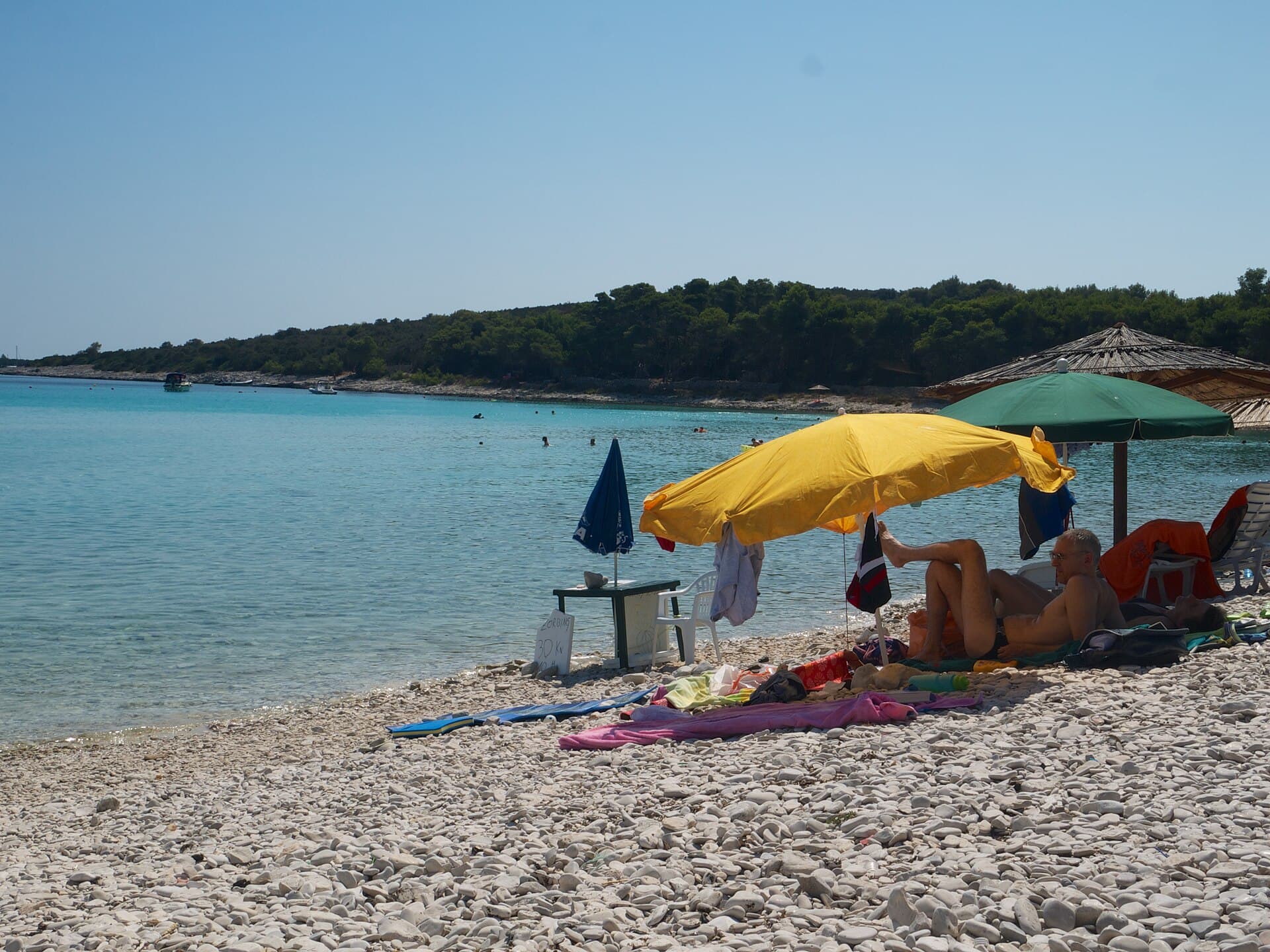
Sakarun is Dugi otok’s best-known beach: it is about 300 metres long, backed by pines, and the sea is only around 3.5 metres deep roughly 250 metres offshore. Pale pebbles and light sand beneath the water create its characteristic turquoise colour. Veli žal on the exposed coast offers a more rugged mix of pebbles and rock, without a settlement immediately behind it. Smaller Brbišćica is reached by a local turn-off and unpaved approach, making it better suited to an unhurried visit than to carrying extensive beach equipment. Around Telašćica, swimming can be combined with Lake Mir and the park’s coves, subject to protected-area rules and the current admission system.
Things to do
For a southern itinerary, leave Sali for Telašćica Nature Park’s Dolac land entrance, walk to Lake Mir and continue towards the cliff edge on marked paths. Give the north a separate day: visit the 42-metre Punta Bjanca lighthouse near Veli Rat, explore Pantera Bay and finish at Sakarun. In the central section, combine swimming at Veli žal with the approach to Brbišćica, also known among divers for its underwater cave. Cyclists can follow the tourist board’s mapped circuit from Božava via Sakarun, Cape Lopata and Veli Rat to the lighthouse, linking the main northern sights without simply retracing the same road.
Food and drink
Dugi Otok’s food scene can be sampled from Sali to Verunić and Zaglav. DiM in Verunić serves marinated monkfish, spider-crab spaghetti, sea-urchin roe, octopus cooked under the peka bell and strawberry-tree jam; live mussels and lobsters are kept in on-site tanks. In Sali, Buffet Toni has a covered terrace overlooking the bay and can deliver dinner to boats tied to the quay outside. The island tourist board’s dining directory also lists Forketa and Spageritimo in Sali, Konoba Martina and Roko in Zaglav, and Buffet Alen in Luka.
Tours and activities
AdAd · partner offers: GetYourGuideThe partner handles booking, payment and support. StayBravo may earn a commission on bookings made through these links.How we choose offersGetYourGuide offers are selected and ordered by GetYourGuide based on the name of the nearest larger town or national park; we do not influence their selection and do not use data about you.GetYourGuide · Dugi otok
We show GetYourGuide offers once you allow their cookies.
Practical information
Practical information
Sali, Božava and Veli Rat provide organised berths with water and electricity, while the filling station at Zaglav is important to both drivers and boaters. Clinics, post offices and tourist offices are distributed among the larger settlements, but the distance between the island’s northern and southern ends makes it sensible to combine errands with the day’s route. Telašćica is entered by road at Dolac or from the sea through Vela and Mala Proversa passages and near the Vela Sestrica lighthouse. Sakarun has two seasonal refreshment venues, whereas remote coves offer no comparable facilities. Carry water and sun protection, and refuel before setting off for the open south-western coast.
Parking
Drivers visiting Telašćica use the Dolac land entrance and, in 2026, pay separately for each visitor and the motor vehicle. From January through May and October through December, the day ticket costs €6 per person plus €6 for a car; from June through September, each charge rises to €8. A bus, minibus or camper costs €10 outside the main season and €14 in summer. Elsewhere on Dugi Otok, Buffet Alen in Luka specifically provides parking in front of the premises, beside a quay that can accommodate boats drawing up to three metres.
Getting there and around
Vehicles reach Dugi otok on Jadrolinija route 434 from Zadar’s Gaženica ferry port to Brbinj. The operator’s 2026 information gives a crossing time of about one hour and forty minutes, with the ticket securing the selected departure. Passenger boats from Zadar’s central harbour call at Sali and Zaglav, a more convenient option for car-free visitors staying in the south. One island road links the twelve settlements, but Sakarun, Veli Rat and Telašćica occupy widely separated ends of the island. A car makes a full-island itinerary much easier; bicycles are particularly suitable for stages around Božava and Veli Rat or shorter routes near Sali.
Frequently asked questions
How long is the Zadar–Brbinj ferry crossing?
Jadrolinija’s 2026 information gives a crossing time of about one hour and forty minutes from Gaženica to Brbinj.
Is Sakarun shallow?
Yes; the official description states that the water is about 3.5 metres deep roughly 250 metres offshore.
Where is Telašćica’s road entrance?
Telašćica Nature Park’s road entrance is at Dolac in the south-eastern part of Dugi otok.
How tall is Veli Rat lighthouse?
The Punta Bjanca lighthouse tower is 42 metres high and stands about three kilometres north-west of Veli Rat.
Where can visitors refuel on the island?
The island’s filling station for road vehicles and boats is at Zaglav.
Related guides
Sali
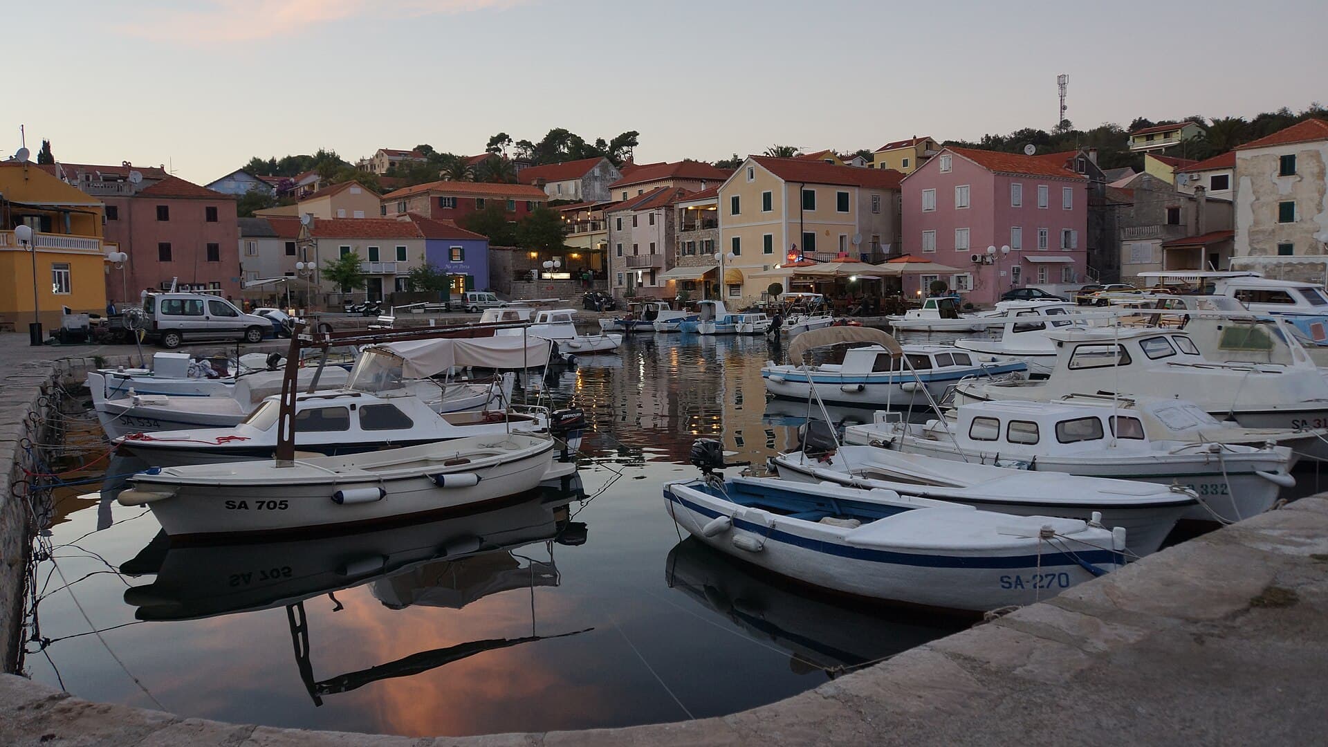
With 726 residents (2021 census), Sali is the largest settlement on Dugi Otok and the administrative seat of a municipality of 12 settlements covering 124.2 km². Fishing here goes back a…
Read the guide

Brbinj
Brbinj is not centred on a single waterfront: the village extends around Jaz and Lučina, while the ferry terminal occupies a separate harbour area. This layout preserves a quieter…
Read the guide

Zaglav
Zaglav rises from its harbour in Triluke Bay to an old village core on a plateau 68 metres above sea level. Its defining historic monument is not a fortress or palace but the…
Read the guide
Veli Rat
Veli Rat occupies Čuna Bay at the far northern end of Dugi Otok, where sheltered harbours alternate with shores exposed to the open Adriatic. The island’s official destination guide traces…
Read the guide
Know Dugi otok? Correct us
Tell us in your own words what is not accurate. We check right away.Do not enter personal data. Corrections are checked by the StayBravo AI assistant; changes to the description are approved by an editor. Use the form instead
Do you know Dugi otok?
Help the guests who come after you.
Help us complete
Nothing is published without an editor’s review.Report illegal content
Photo credits: Dugi otok — Ivana51~commonswiki (CC BY-SA 3.0) · Sali — Tatyana Peshkova (CC BY-SA 4.0) · Veli Rat — Dominik Matus (CC BY-SA 3.0) · Telašćica — Carsten Steger (CC BY-SA 4.0) · Štefano Castle — Jean-no (CC BY-SA 3.0) · Oštri rat Lighthouse — Böhringer Friedrich (CC BY-SA 2.5) · Sakarun — Laurent de Walick from The Hague, The Netherlands (CC BY 2.0) · Apartmani Rustica — Zdenko Dusevic (courtesy of the property owner) · Villa Slatki — Saša Slatki (courtesy of the property owner) · Apartmani Bukal — Partner (courtesy of the property owner) · Apartman Mira — Marijan Ćaćan (courtesy of the property owner) · APARTMAN COTA — Jadranka Cota (courtesy of the property owner) · Brbinj, Zaglav — Mich973 (CC BY-SA 4.0)