Pag
About this place
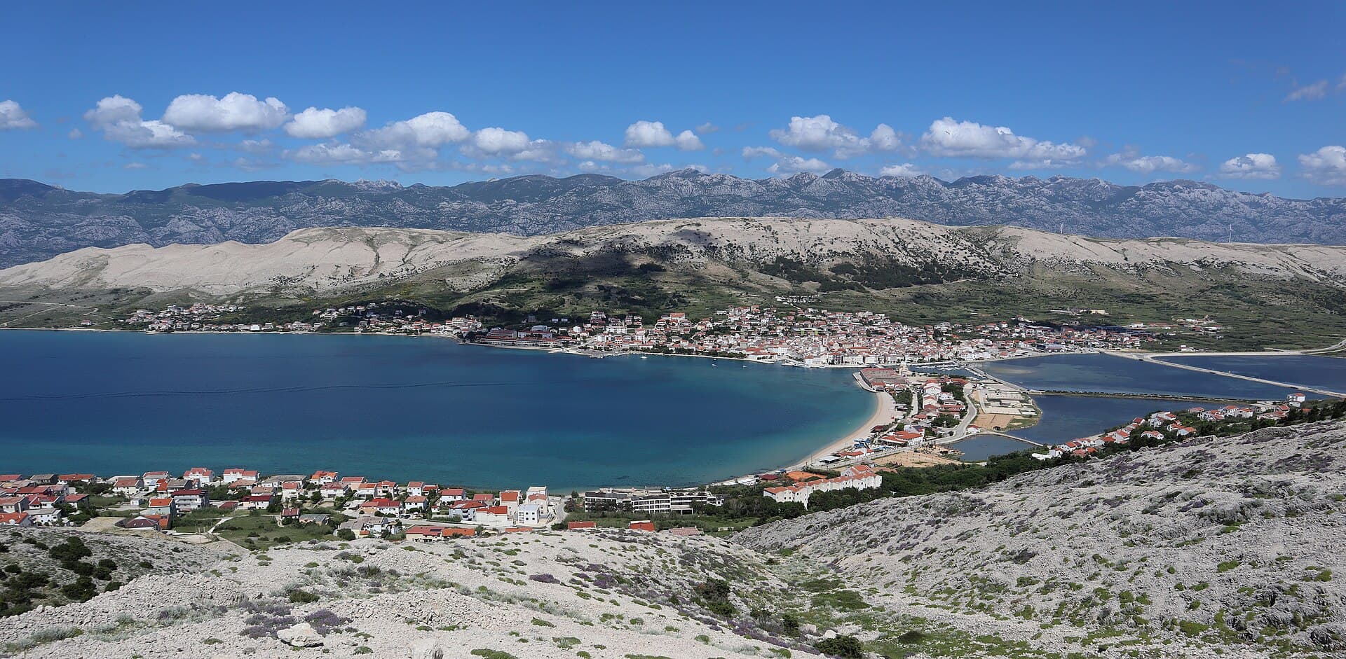
The town of Pag sits on the island of the same name beside a shallow bay in a landscape shaped by bora winds, stone and centuries of salt production. The present planned town was developed in the 15th century with a regular street grid and a central square dominated by the Collegiate Church of the Assumption and the Rector’s Palace. Skrivanat Tower is the most prominent surviving element of the old defences and the only remaining one of nine towers that once protected the town. Across Prosika stand the historic salt warehouses; the first three date from the 17th century, with the others added during the second Austrian administration. Pag is equally associated with its lace-making tradition and salt, linking cultural heritage closely with everyday life and food. Town beaches lie around the bay, while wider island excursions can lead to Sveti Vid, the Old Town of Pag or the island’s northern landscapes. The Gradac viewpoint gives a particularly clear view of the planned centre and Pag’s stark terrain.
Pag is a planned stone town whose orderly street grid converges on Petar Krešimir IV Square, the Collegiate Church of the Assumption and the Rector’s Palace. The settlement moved to its present site in the 15th century, with the foundation stone laid in 1443. Architecture is only one layer of its identity: the saltworks south of town cover 225 hectares, Pag lace is practised as a UNESCO-recognised craft, and Paški sir is made from the milk of the island’s native sheep. The bora wind, sparse vegetation and pale rock give the surroundings a lunar appearance, while the shallow bay and salt pans explain Pag’s centuries-old dependence on the sea and salt.
Stays
No stays listed here yet
Things to see
Skrivanat Tower is the only survivor of nine towers from Pag’s former defensive system and dates from the 15th century. Historic salt warehouses stand at Prosika, while the central square brings together the Collegiate Church of the Assumption and the Rector’s Palace.

Culture and history
Pag was planned in the 15th century, and its street grid, salt-making heritage and lace tradition together explain the town’s identity. The salt warehouses document the economic importance of salt, while Skrivanat is a physical remnant of the former fortifications.
Beaches
Bathing water quality nearby
- Prosika · 614 mnot classified · season 2025
Source: European Environment Agency (EEA); data from Croatian authorities. · bathing water profile
Food and drink
Pag’s food culture is best approached through its cheese, lamb, sea salt and baškotin, the hard twice-baked biscuit made at the Benedictine convent. Paški sir uses milk from the native Pag sheep, with mature wheels developing a piquant flavour and gently grainy texture. The nuns of St Margaret’s Convent have baked baškotin for more than 300 years, making it particularly associated with the town itself. Specific central options include Na Tale and Uhlinac restaurants, Bile and Bodulo taverns, and Trapula Wine & Cheese Bar, all participants in the local “Pag na meniju” programme. Pair the meal with Paška Žutica wine or a product from Solana Pag, especially delicate fleur de sel.
Practical information
Practical information
The Pag Tourist Board is at Od Špitala 2, with separate telephone numbers listed for its information centre and tourist office. Pag bus station stands on Šetalište Vladimira Nazora in the town centre, within walking distance of the main square and Prosika beach. Visits to salt-field workshops must be arranged in advance because schedules depend on availability and production conditions. The Pag Lace Gallery follows seasonal opening periods and also accepts visits by prior agreement outside its regular timetable. A car or bicycle provides considerably more flexibility for reaching Bošana, the saltworks and the island’s stark interior than remaining within Pag’s compact central street grid.
Parking
For parking in Pag in 2026, check Pag II’s current price list before arriving, as the town system uses zones and seasonal charging periods. Summer SMS parking operates daily from 7 am to 11 pm, with separate codes for zones 1, 2 and 3, plus Šimuni. Pag II is based at Zadarska 2, and the Town of Pag directs parking-payment enquiries there. A parking ticket applies only to the zone and time period for which it was issued.
Getting there and around
Drivers approaching from the south reach the island over Pag Bridge, while the mainland below Velebit is connected to Žigljen by Jadrolinija ferry route 335 from Prizna. The 2026 timetable provides year-round sailings, with the crossing taking roughly 15–20 minutes and extra departures commonly added in summer. From Žigljen, the island road continues south towards Pag town. Arriva runs several daily connections between Zadar and Pag; the road journey covers about 55 kilometres and usually takes around one hour, depending on traffic. Buses terminate at the station in central Pag, while the Prizna–Žigljen ferry carries vehicles and is therefore practical for onward exploration by car.
Frequently asked questions
What is Pag town especially known for?
Salt, Pag lace and its planned 15th-century centre.
Which defensive tower survives in Pag?
Skrivanat Tower, the only survivor of the former nine towers.
Where are the salt warehouses?
At Prosika, opposite the historic centre.
What is the highest peak on Pag Island?
Sveti Vid, at 348 metres.
Where is a good viewpoint over Pag town?


Related guides
Novalja
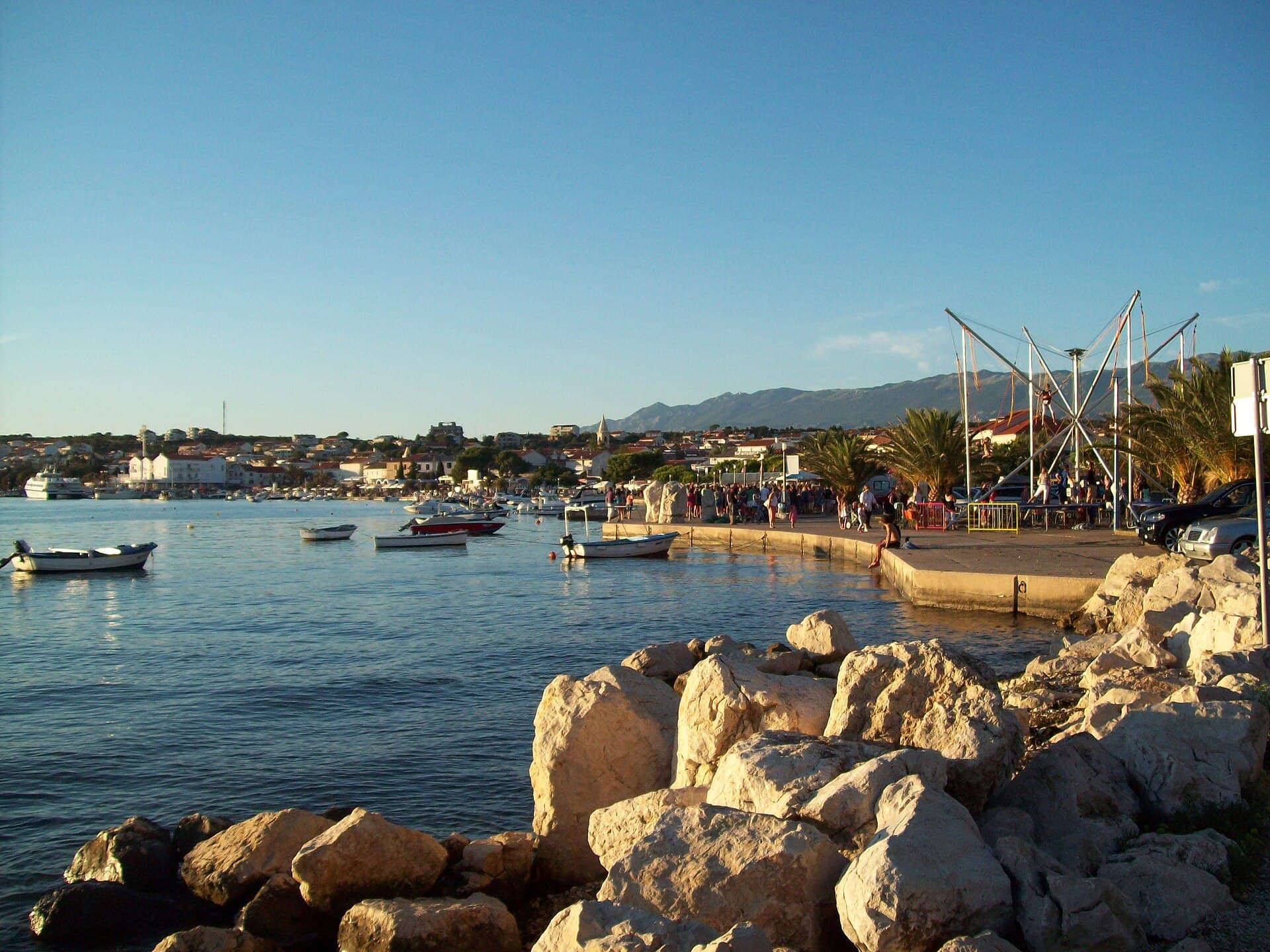
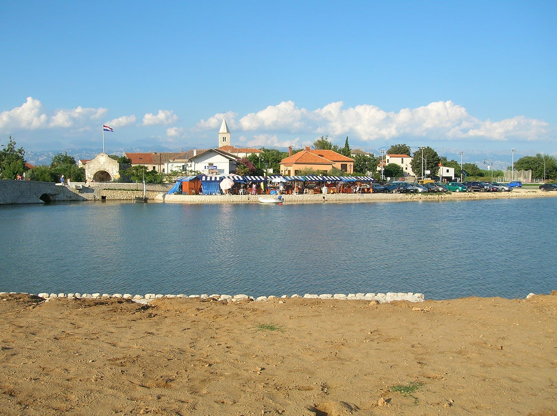
Novalja curves around a bay on Pag’s western shore, with the waterfront, Trg Bazilike and streets around Mala crikva forming the centre. Landing places and restaurants line the water, while…
Read the guide
Help improve this page
Spot something missing or wrong? Suggest a correction, add your photo or report a problem. Editors review every suggestion before it is published.
Photo credits
- Pag, Zubovići, Novalja, Basilica of the Assumption of Mary — Palauenc05 · CC BY-SA 4.0 · Wikimedia Commons
- Metajna — Mich973 · CC BY-SA 4.0 · Wikimedia Commons
- Karlobag — Orlovic · Public domain · Wikimedia Commons
- Šimuni