
Karlobag
About this place
Karlobag is one of the places where the distance between the Adriatic and high Velebit feels exceptionally small. The settlement stands on the Adriatic Highway, while the road towards Gospić via Baške Oštarije quickly moves from a Mediterranean coast into a mountain landscape. This transition makes Karlobag different from a conventional seaside resort: swimming can be combined with Velebit viewpoints and hiking routes on the same day. The municipality also includes Ribarica, Cesarica, Lukovo Šugarje, Barić Draga, Sveta Marija Magdalena and the mountain settlement of Baške Oštarije. In Karlobag itself, shops, restaurants and basic services are concentrated in the centre, making it a useful base for exploring the long, sparsely settled coast beneath Velebit. Local food likewise bridges two environments, pairing seafood with products and flavours from the mountain hinterland. On a first visit, include at least one drive towards Baške Oštarije; the rapid gain in altitude makes Karlobag’s relationship with the mountain as clear as its relationship with the sea.
Karlobag occupies a narrow strip between the Velebit Channel and the mountain’s steep western slopes, facing the island of Pag. The Adriatic Highway passes through town, while the D25 climbs to Baške Oštarije and continues to Gospić, bringing the coastal and mountain landscapes unusually close together. The municipal riviera extends through Ribarica, Cesarica, Lukovo Šugarje, Barić Draga and Sveta Marija Magdalena, with Baške Oštarije forming its highland counterpart. That range also shapes local food, where Adriatic fish and Mediterranean flavours meet Velebit cheese, meat dishes and upland cooking.
Things to see
Karlobag’s most important attraction is really its position between the sea and Velebit. From the coast, the road towards Gospić climbs to Baške Oštarije, a mountain settlement within the same municipality, so vegetation, temperature and views change quickly. Along the coast, the municipality also includes Ribarica, Cesarica, Lukovo Šugarje, Barić Draga and Sveta Marija Magdalena, making Karlobag the centre of a very elongated area. This geography particularly suits travellers who want to combine a seaside day and a mountain day without changing accommodation. Shops, restaurants and tourist services are concentrated in central Karlobag, while experiencing the wider destination properly requires travelling both along the coast and upward towards the Velebit pass.
 Natural monument
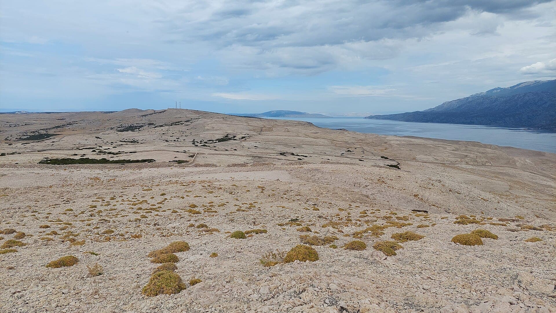
Pag Triangle
Nature · Kustići
pareidolia and land formation in the shape of an irregular quadrilateral near the village Caska on the island Pag in Croatia
10 km from Karlobag
Stays nearby
- Apartment
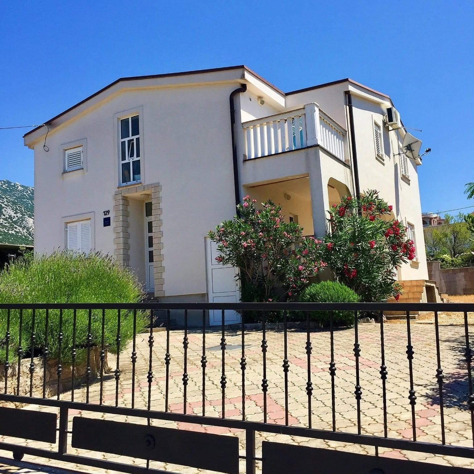 6 km from Karlobag
Be the first to list here
Guests looking for this place only see stays nearby for now. No commission, and enquiries come straight to you.
List your accommodation
Beaches
Tatinja Cove is Karlobag’s principal bathing spot, with a beach bar directly beside the water and access from the settlement. Another developed option lies by the former Hotel Zagreb on the southern side of town, from where the waterfront walk continues towards the centre. Karlobag’s shore is predominantly rocky and pebbly rather than a succession of broad sandy shallows, and almost every swim comes with a view across the Velebit Channel to Pag. A car is more practical for exploring smaller coves around Ribarica and Cesarica, as the riviera’s settlements are strung out along the Adriatic Highway.
Bathing water quality nearby
- Karlobag Gradska · 239 mexcellent
- Hotel Zagreb · 611 mexcellent
Source: European Environment Agency (EEA); data from Croatian authorities. · bathing water profile
Things to do
Spend the morning walking Karlobag’s waterfront and swimming in Tatinja Cove, then drive or take the local bus up towards Baške Oštarije. Stop at Oštarijsko sedlo for the Kubus, a monument erected in 1846 during construction of the Karlobag–Gospić road. Thirty-three steps lead to the cube balanced on four spheres, with views falling away towards Karlobag and Pag. For a manageable mountain walk, choose the three-kilometre Terezijana trail, which descends from Baške Oštarije at 924 metres to a viewpoint above Konjsko at 655 metres.
Food and drink
Karlobag’s dining scene bridges the coast and Velebit. Konoba Ribar and Restaurant Bonaca, on Trg dr. Franje Tuđmana within Hotel Palace Vrkljan, specialise in fish and are listed by the municipality as operating year-round. Other central options include Šterna, Pizzeria Šušanj, Ledenik and Bistro Adriatic, while Beach Bar Tatinja sits in the cove of the same name. After a Velebit outing, Restaurant Baške Oštarije provides the highland counterpart, making it possible to pair a seafood lunch by the channel with a mountain meal on the pass.
Tours and activities
AdAd · partner offers: Viator, GetYourGuideThe partner handles booking, payment and support. StayBravo may earn a commission on bookings made through these links.How we choose offersWe choose offers based on the page you are viewing: the partner destination for this place or the nearest one (with its distance), and on a sight page only offers that mention it. We show offers rated at least 4.3 with at least 10 reviews, without multi-day tours or pure transfers, ordered by rating adjusted for the number of reviews and then by the partner’s order. We do not use data about you, and the commission does not affect the order.GetYourGuide offers are selected and ordered by GetYourGuide based on the name of the nearest larger town or national park; we do not influence their selection and do not use data about you.Viator
Nearest destination: Zadar (47 km)
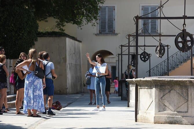
Zadar Highlights: Old Town, Sea Organ & Local Tastings (opens in a new tab)
A 2-hour small-group walk through Zadar's Old Town covering the city's top landmarks, the world-unique Sea Organ, and a tasting of local maraschino liqueur and cheese with a licensed local guide.
Rated 5 out of 5 · 478 reviews· 2 h
Free cancellation
from €20
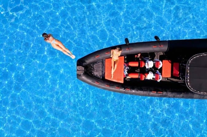
Zadar: Luxury Island Boat Tour, Snorkeling & Unlimited Wine (opens in a new tab)
Embark on an unforgettable adventure and explore the wonderful islands that adorn our Adriatic Sea. You have two types of tour, 4 hour with 3 stops and 3 hour with 2 stops. Explore the crystal clear…
Rated 5 out of 5 · 1,393 reviews· 4 h
Free cancellation
from €47
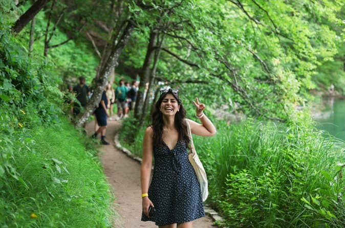
From Zadar Plitvice Lakes Guided Day Tour with Tickets (opens in a new tab)
Discover the UNESCO-listed Plitvice Lakes with a passionate local guide and enjoy one of the easiest ways to visit Croatia’s most iconic national park from Zadar. Travel through the scenic Croatian…
Rated 4.9 out of 5 · 1,689 reviews· 10 h
Free cancellation
from €45
Zadar: Romantic Luxury Sunset Boat Tour with Aperol Spritz (opens in a new tab)
We will start our tour from the oldest harbor in Zadar, Foša. After that we will cruise by the Zadar seafront and famous Sea Organs where thousands of people come every night to see world famous…
Rated 5 out of 5 · 330 reviews· 1.3 h
Free cancellation
from €25
Zadar: Half Day Island Hopping Tour & Old Town Panoramic Cruise (opens in a new tab)
Step off the beaten path and discover the authentic soul of Dalmatia. On the islands, time moves slower and local traditions are still alive. Swim, snorkel, sunbathe, stroll through charming…
Rated 4.9 out of 5 · 418 reviews· 4 h
Free cancellation
from €19
Private Sailing Tours in Zadar Archipelago (opens in a new tab)
We are a family business with a vision of presenting the beautiful nature and history of Zadar and Island Ugljan, Croatia. Sail away with us and absorb the sea breezes and panoramic views over Zadar…
Rated 5 out of 5 · 135 reviews· 4 h
Free cancellation
from €450
GetYourGuide · Novalja
We show GetYourGuide offers once you allow their cookies.
Practical information
Practical information
The Karlobag Tourist Board is at Trg dr. Franje Tuđmana 2 and publishes the contact number +385 53 295 317 and email [email protected]. Shops, restaurants and souvenir outlets are concentrated in central Karlobag, while the riviera’s smaller settlements are spaced along the coastal highway. The bus stop is on Obala Vladimira Nazora, opposite the police station. Carry your own water for mountain outings: the official Premužić Trail description notes that Korita spring can dry up in summer, while no drinking water is available on the Budakovo brdo–Bačić kuk section.
Parking
In Karlobag, use only the signed municipal parking areas. The municipal act identifies car parks by Hotel Zagreb, the Depadansa, the bus station and the bathing area, with enforcement handled by the contracted operator. Under the amendment applied from 1 July 2023, the ceiling for cars and vans is €1.00 per hour; discounted daily, weekly, monthly and seasonal tickets may be no more than €7.00, €16.00, €23.00 and €30.00. Vegium’s 2023 notice set paid parking from 15 June to 30 September at €1.00 an hour.
Getting there and around
Karlobag lies on the D8 between Senj and Zadar, while the D25 climbs through Baške Oštarije to Gospić on Velebit’s inland side. Arriva’s stop on Obala Vladimira Nazora serves coastal routes towards Rijeka, Senj, Zadar, Šibenik and Split. A published 2025 local timetable also covered the Gospić–Baške Oštarije–Karlobag–Sveta Marija Magdalena route, linking the shore with the municipality’s mountain communities. As services vary by season and school calendar, check the operator’s dated timetable carefully, particularly when planning a return journey from Baške Oštarije.
Frequently asked questions
Why is Karlobag suitable for combining sea and mountains?
Velebit rises immediately above the coast, and the road to Baške Oštarije quickly reaches a mountain landscape.
Are Baške Oštarije part of Karlobag municipality?
Yes. Baške Oštarije is a mountain settlement within Karlobag municipality.
Which coastal settlements belong to the Karlobag riviera?
They include Ribarica, Cesarica, Lukovo Šugarje, Barić Draga and Sveta Marija Magdalena.
Where are basic tourist services in Karlobag?
Shops, restaurants and souvenir stores are concentrated in central Karlobag.
Where does the Terezijana trail begin?
The Terezijana starts at Baške Oštarije, 924 metres above sea level, and descends for three kilometres to a viewpoint above Konjsko.
Nearby
Karlobag
Open in OpenStreetMap(opens in a new tab)Smaller places
straight-line distance
Related guides

Karlovac
Karlovac began as a deliberately planned fortified town, and the present-day centre is still defined by the geometry of the Zvijezda and by the river corridors surrounding it. Rather than a…
Read the guide
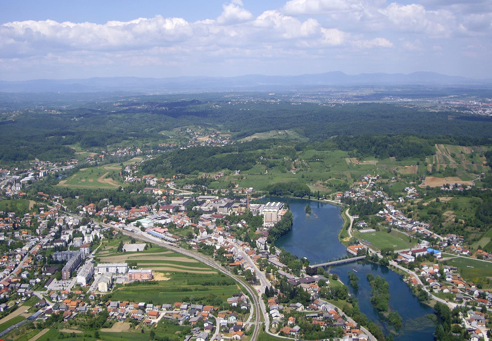
Duga Resa
Duga Resa is a town whose development is inseparable from the Mrežnica. The river runs through the settlement and serves simultaneously as a recreational space, natural landmark and part of…
Read the guide
Gospić
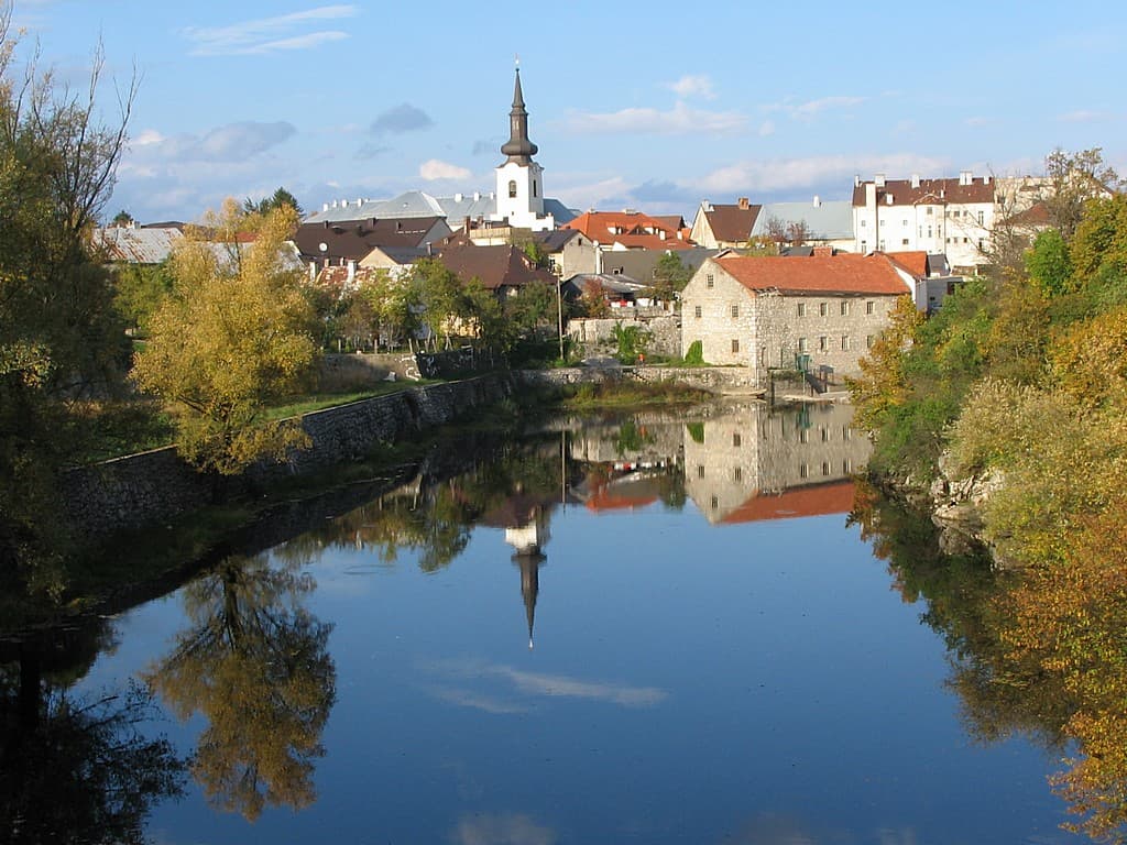
Gospić is the principal urban centre of Lika-Senj County, yet as a visitor destination it is difficult to separate from the broad Lika field and nearby Velebit. The official tourist board…
Read the guide

Ogulin
Ogulin is shaped by water, rock and storytelling: the Dobra sinks beside the town centre, Mount Klek defines the skyline, and the legacy of locally born Ivana Brlić-Mažuranić connects urban…
Read the guide
Know Karlobag? Correct us
Tell us in your own words what is not accurate. We check right away.Do not enter personal data. Corrections are checked by the StayBravo AI assistant; changes to the description are approved by an editor. Use the form instead
Do you know Karlobag?
Help the guests who come after you.
Help us complete
Nothing is published without an editor’s review.Report illegal content
Photo credits: Karlobag — Orlovic (Public domain) · Metajna — Mich973 (CC BY-SA 4.0) · Cesarica — Klapi (CC BY-SA 4.0) · Došen Dabar — Fraxinus (CC BY-SA 3.0) · Zubovići, Novalja, Pag, Basilica of the Assumption of Mary — Palauenc05 (CC BY-SA 4.0) · Dubrava Hanzine — Christian Pirkl (CC BY-SA 4.0) · Pag Triangle — Harald Hetzner (CC0) · Kolansko blato — Lendert Van Laer (CC BY-SA 4.0) · Apartman Mira — Marijan Ćaćan (courtesy of the property owner) · Karlovac — Bukovacka (CC BY-SA 4.0) · Duga Resa — Tomica at English Wikipedia (CC BY-SA 3.0) · Gospić — INekic (CC BY-SA 4.0) · Ogulin — Rootmaker at German Wikipedia (CC BY-SA 3.0)