Šimuni
About this place
Šimuni, on Pag’s western side, is shaped above all by the sea. ACI Marina Šimuni sits in the Maun Channel and serves as a northern gateway to Dalmatia as well as the final marina in the Kvarner island circuit. From here, boat trips can be planned north towards Istria and Opatija or south towards Kornati and Šibenik. For a night approach to the Šimuni bay, a green light on the southern headland marks the entrance; ACI advises keeping to the middle of the channel. The village shoreline includes the public beaches of Vruljica and Lanterna, both listed in the City of Pag’s maritime-domain management plan. Vruljica is identified as the stretch running from the campsite towards Šimuni, while Lanterna is listed separately within the village. Further south, Camping Village Šimuni has its own series of named beaches, including Golden Beach, Diamond Beach, Sea Pearl Beach and Two Sailors Beach. The result is a compact coastal stop where a fishing cove, marina and a succession of swimming spots meet.
Šimuni occupies a deep bay on Pag’s southwestern side, beside the road linking Pag town and Novalja. ACI Marina fills the northern section, the fishing harbour and village occupy the centre, and the campsite and pine-backed beaches extend to the south. This arrangement condenses the settlement’s three defining activities: professional fishing, nautical traffic and seaside holidays. Unlike Pag’s stark eastern shore facing the Velebit mainland, Šimuni looks across the Maun Channel; its naturally sheltered inlet has therefore shaped both the village’s appearance and the practical rhythm of life around boats.
Things to see
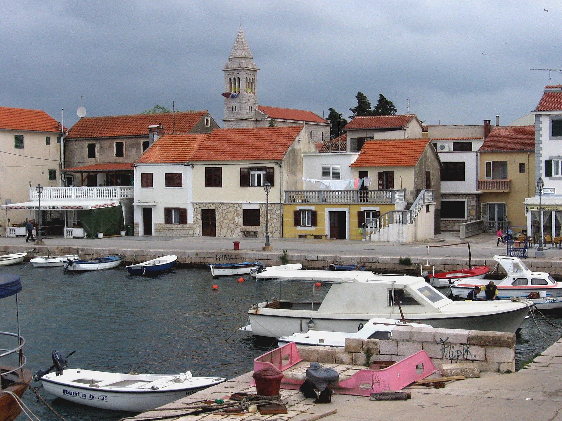
ACI Marina Šimuni is the bay’s most prominent modern landmark: it opens year-round, offers 191 wet and 55 dry berths, and accepts vessels up to 18 metres for daily berthing. The fishing harbour in the central inlet reveals the settlement’s older working character. The Church of St Nicholas stands on higher ground above the village as a local gathering point overlooking the bay. Inland, the most important landscape destination is Sveti Vid, the island’s 349-metre summit, where the remains of a medieval church accompany extensive views across Pag Bay toward the Velebit mountains.
 Natural monument
Pag Triangle
Nature · Kustići
pareidolia and land formation in the shape of an irregular quadrilateral near the village Caska on the island Pag in Croatia
10 km from Šimuni
Stays nearby
- Apartment
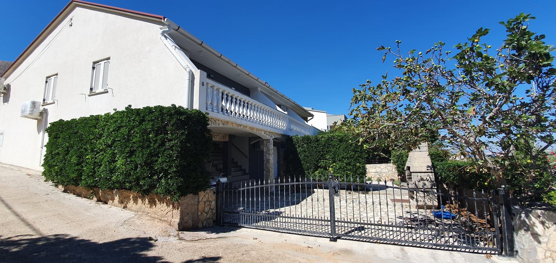 8 km from Šimuni
Be the first to list here
Guests looking for this place only see stays nearby for now. No commission, and enquiries come straight to you.
List your accommodation
Beaches
Vruljica is the public beach between Camping Village Šimuni and the village. The City of Pag’s 2023 plan listed sunbeds, parasols, a children’s trampoline, an aqua park and rentals of pedalos, kayaks and SUP boards there. Lanterna is separately listed in Šimuni, with sunbeds, parasols, a trampoline and rentals including scooters, small boats and pedalos in that plan. Guests of Camping Village Šimuni can choose from six named beaches; its site map includes Diamond Beach, Sea Pearl Beach, Golden Beach and Two Sailors Beach.
Bathing water quality nearby
- Uvala Šimuni · 515 mnot classified
- Mala Mandra · 2.9 kmnot classified
Source: European Environment Agency (EEA); data from Croatian authorities. · bathing water profile
Things to do
Start the morning at the fishing harbour, then walk past ACI Marina to see how the protected bay serves both working boats and visiting yachts. Continue to Vruljica or Lanterna for a swim; the campsite beaches farther south provide a broader choice of food and recreation. The principal local challenge for hikers is the steep route from the Šimuni side toward Sveti Vid, Pag’s highest summit at 349 metres, best attempted outside the hottest hours. Finish with fish at Ribarska Koliba or Didova Kuća, or choose Pescaria inside the campsite for a meal close to the beach.
Food and drink
Didova Kuća in Šimuni builds its menu around straightforward family recipes, ingredients from small producers and Croatian wines, offering an island-style meal beyond the hotel format. Ribarska Koliba at Šimuni 28a is a natural choice in a village whose working harbour is still shaped by professional fishing. Inside Camping Village, Pescaria concentrates on fish and seafood, while Mali Raj—the campsite’s oldest restaurant, with a tradition approaching thirty years—also has a pastry section and outdoor grill. Alongside the catch of the day, Pag cheese and Pag lamb are the island specialities to look for.
Tours and activities
AdAd · partner offers: Viator, GetYourGuideThe partner handles booking, payment and support. StayBravo may earn a commission on bookings made through these links.How we choose offersWe choose offers based on the page you are viewing: the partner destination for this place or the nearest one (with its distance), and on a sight page only offers that mention it. We show offers rated at least 4.3 with at least 10 reviews, without multi-day tours or pure transfers, ordered by rating adjusted for the number of reviews and then by the partner’s order. We do not use data about you, and the commission does not affect the order.GetYourGuide offers are selected and ordered by GetYourGuide based on the name of the nearest larger town or national park; we do not influence their selection and do not use data about you.Viator
Nearest destination: Zadar (45 km)
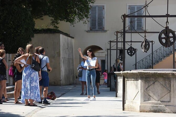
Zadar Highlights: Old Town, Sea Organ & Local Tastings (opens in a new tab)
A 2-hour small-group walk through Zadar's Old Town covering the city's top landmarks, the world-unique Sea Organ, and a tasting of local maraschino liqueur and cheese with a licensed local guide.
Rated 5 out of 5 · 478 reviews· 2 h
Free cancellation
from €20
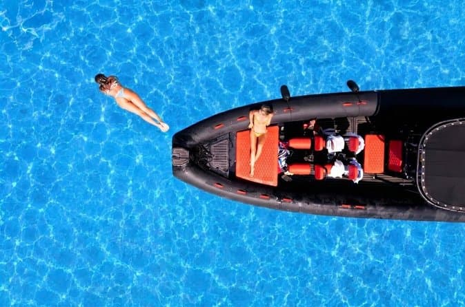
Zadar: Luxury Island Boat Tour, Snorkeling & Unlimited Wine (opens in a new tab)
Embark on an unforgettable adventure and explore the wonderful islands that adorn our Adriatic Sea. You have two types of tour, 4 hour with 3 stops and 3 hour with 2 stops. Explore the crystal clear…
Rated 5 out of 5 · 1,393 reviews· 4 h
Free cancellation
from €47

From Zadar Plitvice Lakes Guided Day Tour with Tickets (opens in a new tab)
Discover the UNESCO-listed Plitvice Lakes with a passionate local guide and enjoy one of the easiest ways to visit Croatia’s most iconic national park from Zadar. Travel through the scenic Croatian…
Rated 4.9 out of 5 · 1,689 reviews· 10 h
Free cancellation
from €45
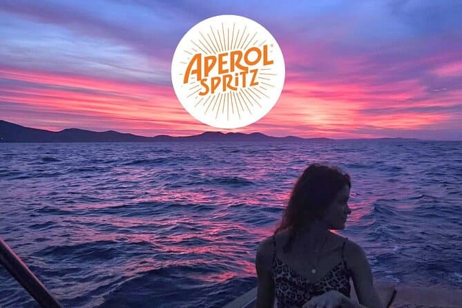
Zadar: Romantic Luxury Sunset Boat Tour with Aperol Spritz (opens in a new tab)
We will start our tour from the oldest harbor in Zadar, Foša. After that we will cruise by the Zadar seafront and famous Sea Organs where thousands of people come every night to see world famous…
Rated 5 out of 5 · 330 reviews· 1.3 h
Free cancellation
from €25
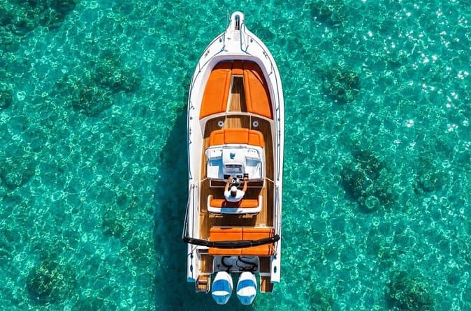
Zadar: Half Day Island Hopping Tour & Old Town Panoramic Cruise (opens in a new tab)
Step off the beaten path and discover the authentic soul of Dalmatia. On the islands, time moves slower and local traditions are still alive. Swim, snorkel, sunbathe, stroll through charming…
Rated 4.9 out of 5 · 418 reviews· 4 h
Free cancellation
from €19
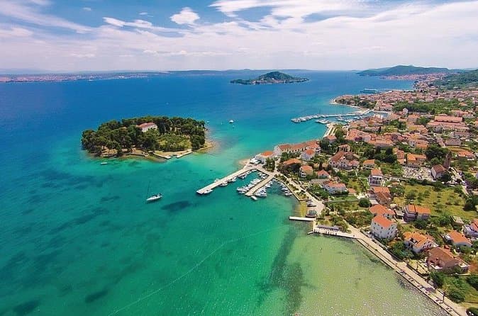
Private Sailing Tours in Zadar Archipelago (opens in a new tab)
We are a family business with a vision of presenting the beautiful nature and history of Zadar and Island Ugljan, Croatia. Sail away with us and absorb the sea breezes and panoramic views over Zadar…
Rated 5 out of 5 · 135 reviews· 4 h
Free cancellation
from €450
GetYourGuide · Novalja
We show GetYourGuide offers once you allow their cookies.
Practical information
Practical information
ACI Marina operates throughout the year, giving Šimuni a working nautical role beyond the summer season; its office is at Obala 1 and uses VHF channel 17. The Pag branch of the harbour master’s office handles the broader port authority function. Distances within the village are short, but the campsite, marina and residential waterfront occupy different sections of the bay. Anyone climbing Sveti Vid should carry water, wear firm footwear and leave early, because the route approaching the 349-metre summit from the Šimuni side is steeper than the ascent from the Pag side.
Getting there and around
Šimuni sits on Pag’s main island road between the town of Pag and Novalja, with a village bus stop providing car-free links to both centres. Lika Line’s 2026 timetable shows selected journeys taking roughly 15 minutes from Šimuni to Pag and about 20 minutes to Novalja; services vary by day, so travellers should check the exact date before setting out. Drivers arriving from the mainland can cross the Pag Bridge, while the Prizna–Žigljen ferry provides another approach to the island’s northern end. Boats can enter the sheltered bay through ACI Marina Šimuni, although its berths serve nautical visitors rather than functioning as public passenger transport.
Frequently asked questions
Is Šimuni marina open year-round?
ACI Marina Šimuni is open throughout the year and has 191 wet berths plus 55 dry berths.
Which beaches belong to Šimuni village?
Vruljica and Lanterna are the two named village beaches, while the campsite’s developed beaches continue farther south.
Can I hike to Sveti Vid from Šimuni?
Yes. The approach from Šimuni is the steeper route to Sveti Vid, Pag’s highest summit at 349 metres.
Where can I eat fish in Šimuni?
Fish dishes are served at Ribarska Koliba in the village and Pescaria inside Camping Village Šimuni.
Where is ACI Marina Šimuni?
ACI Marina Šimuni lies on Pag’s western side, in the Maun Channel.
Which public beaches are listed in Šimuni?
The municipal management plan lists Vruljica and Lanterna as beaches in Šimuni.
Does Vruljica offer rental facilities?
The 2023 plan listed pedalos, kayaks and SUP boards for hire at Vruljica.
Which beaches are marked in Camping Village Šimuni?
The campsite map marks Golden, Diamond, Sea Pearl and Two Sailors Beach, among others.
How is Šimuni bay approached at night?
ACI identifies a green light on the southern entrance headland and recommends staying mid-channel.
Nearby
Šimuni
Open in OpenStreetMap(opens in a new tab)straight-line distance
Related guides
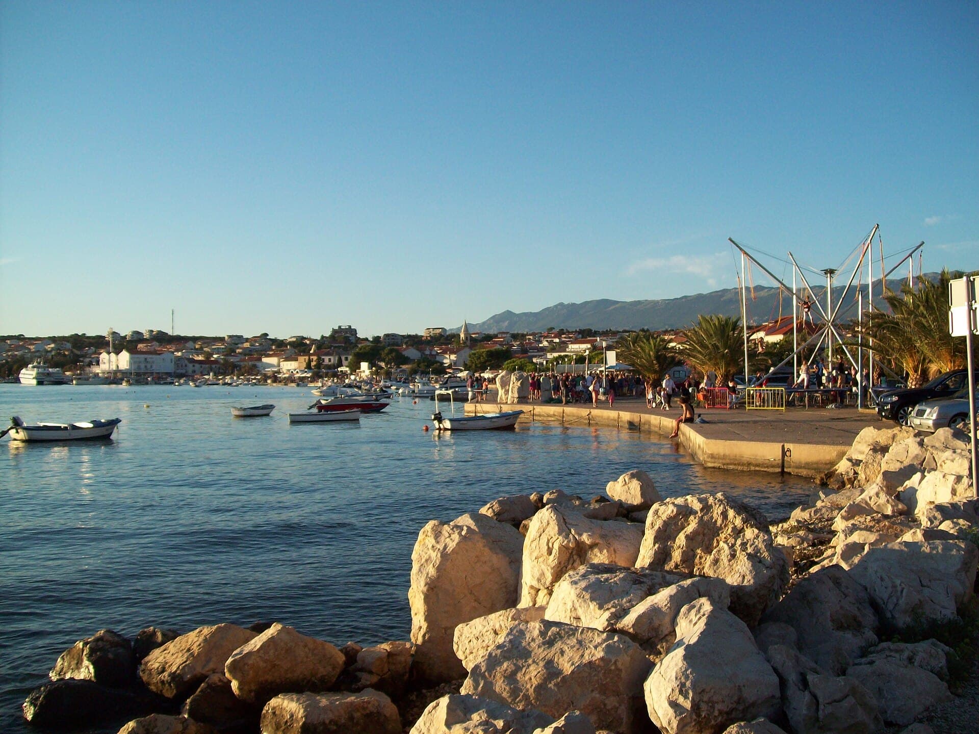
Novalja
Novalja curves around a bay on Pag’s western shore, with the waterfront, Trg Bazilike and streets around Mala crikva forming the centre. Landing places and restaurants line the water, while…
Read the guide
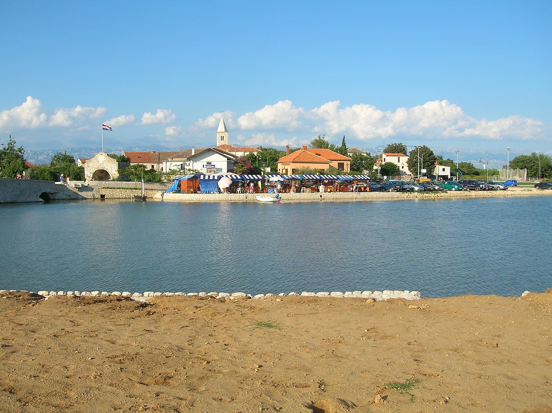
Nin
Nin’s historic centre occupies a low islet within a lagoon, connected to the mainland by bridges. Crossing into the centre creates a different first impression from arriving in nearby…
Read the guide
Pakoštane
Pakoštane occupies a narrow strip between the Adriatic and Lake Vrana, allowing visitors to move from a Dalmatian waterfront to the reeds of an ornithological reserve within minutes. The…
Read the guide
Pag
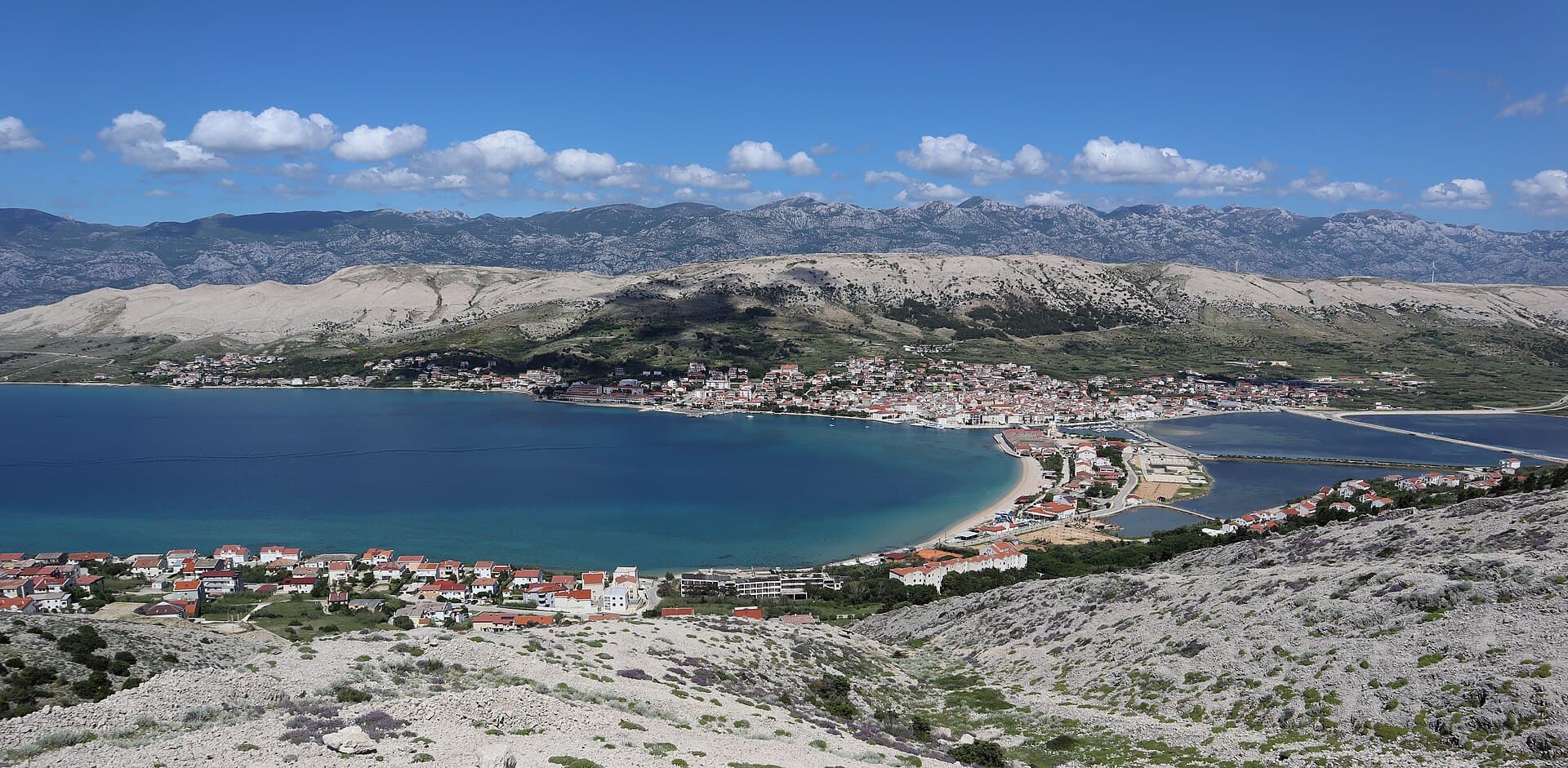
Pag is a planned stone town whose orderly street grid converges on Petar Krešimir IV Square, the Collegiate Church of the Assumption and the Rector’s Palace. The settlement moved to its…
Read the guide
Know Šimuni? Correct us
Tell us in your own words what is not accurate. We check right away.Do not enter personal data. Corrections are checked by the StayBravo AI assistant; changes to the description are approved by an editor. Use the form instead
Do you know Šimuni?
Help the guests who come after you.
Help us complete
Nothing is published without an editor’s review.Report illegal content
Photo credits: Mandre — pepanos (CC BY 3.0) · Metajna — Mich973 (CC BY-SA 4.0) · Zubovići, Novalja, Pag, Basilica of the Assumption of Mary — Palauenc05 (CC BY-SA 4.0) · Gajac — Mrdvt92 at en.wikipedia (CC BY-SA 3.0) · Novalja — JoeTimBlackMax (CC BY-SA 3.0) · Karlobag — Orlovic (Public domain) · Cesarica — Klapi (CC BY-SA 4.0) · Dubrava Hanzine — Christian Pirkl (CC BY-SA 4.0) · Kolansko blato — Lendert Van Laer (CC BY-SA 4.0) · Pag Triangle — Harald Hetzner (CC0) · Apartmani Bukal — Partner (courtesy of the property owner) · Nin — Amphisbène (CC BY 2.5) · Pakoštane — Roman Klementschitz, Wien (CC BY-SA 3.0)