
Mandre
About this place
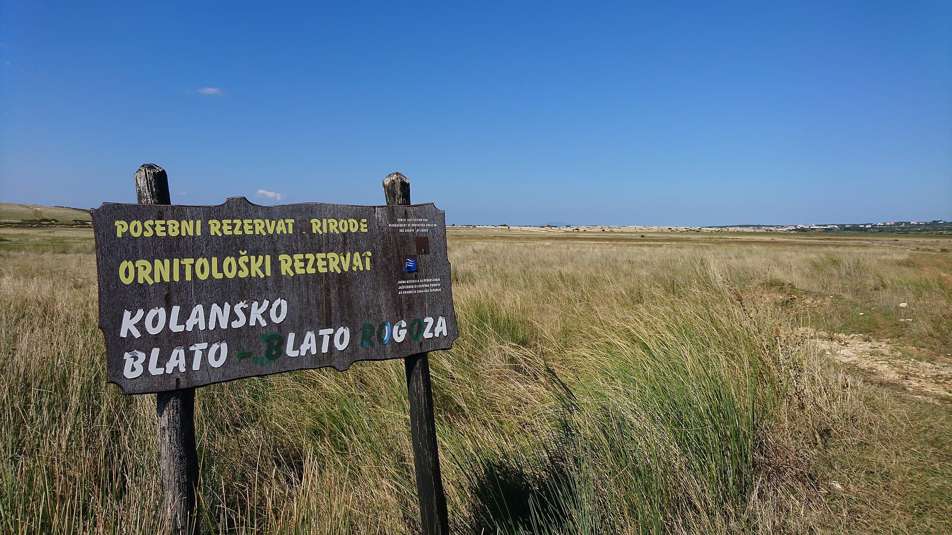
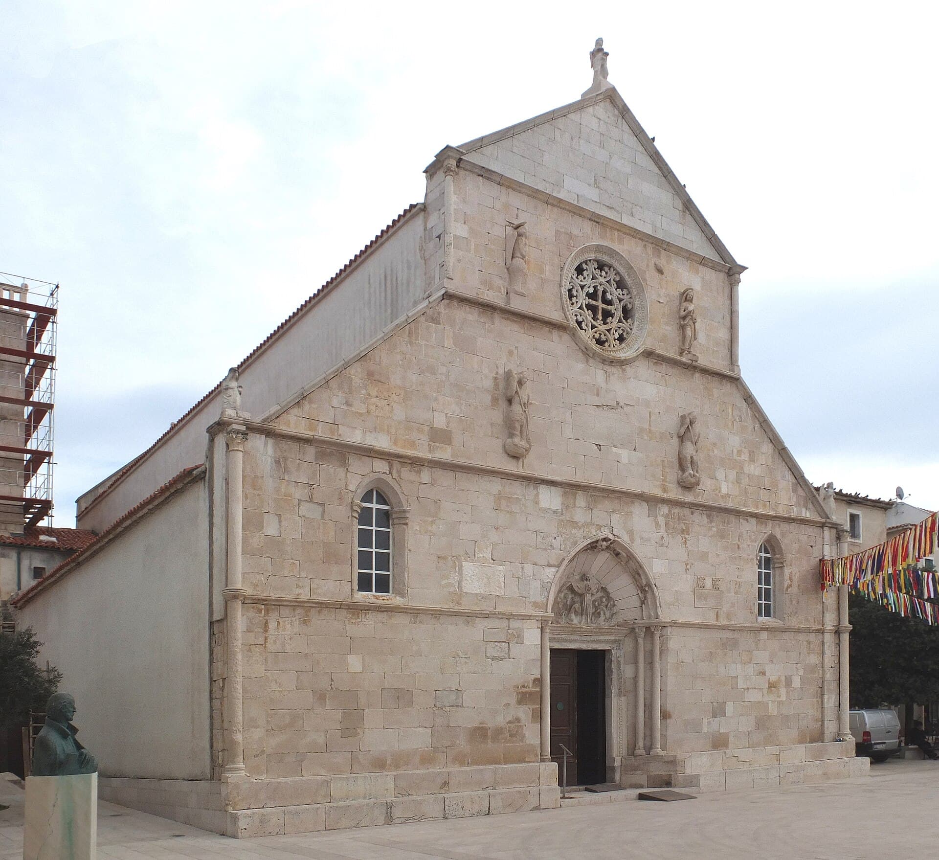
Mandre is a coastal village in the Municipality of Kolan, set on Pag’s south-western shore opposite the Maun Channel and the low islands of Maun and Škrda. The settlement grew around a small harbour, bathing areas and a ribbon of waterfront houses, so summer life moves naturally between the quay, beaches and the local pine park. Its outlook is markedly different from Pag’s stark eastern face: open blue water and offshore islands fill the horizon. Municipal planning documents classify Mandre’s harbour as a local passenger port and distinguish both organised and natural bathing zones along the coast. The Church of Our Lady of the Snows, built in 2005, is the village’s clearest modern landmark. Mandre also belongs to the Kolan area, whose identity is tied to Pag cheese, lamb and sheep farming, while the nearby Kolanjsko blato reserve introduces an entirely different wetland landscape. A car makes excursions towards Kolan, Šimuni, Novalja and Pag town straightforward, although Mandre itself is compact enough to connect the harbour, waterfront swimming and an evening walk on foot.
Mandre developed around a small harbour and the Lungo Mare waterfront on Pag’s south-western shore, facing the Maun Channel. Unlike settlements exposed to the Velebit Channel, its outlook is framed by Maun and Škrda, while a local road links the village with inland Kolan. Restaurants, the landing area and everyday services cluster around the waterfront, with residential streets rising towards the church and sports ground. Municipal traffic documents identify Obala Mandre 1 and 2 as separate parking areas, together with parking by the church and the playing field, showing how summer traffic is distributed beyond the narrowest waterfront strip. Mandre consequently has no single monumental centre: its defining spaces are the harbour, the long shoreline promenade and the open view across the channel towards the offshore islets.
Things to see
The white bell tower of Our Lady of the Snows rises above Mandre. Construction began in March 2005, making it the youngest church on Pag and a response to the growing village and its summer congregation. From the church, walk down to Porat, the small harbour edged by pines and Mediterranean vegetation, then follow the Lungo Mare waterfront. Mala Mandra occupies the central cove, with a rock-and-pebble shore protected from motorboats and jet skis. The municipal visitor map also marks a children’s park near the waterfront, allowing the church, harbour, park and Mala Mandra to be combined in one compact walking circuit.
 Natural monument
Pag Triangle
Nature · Kustići
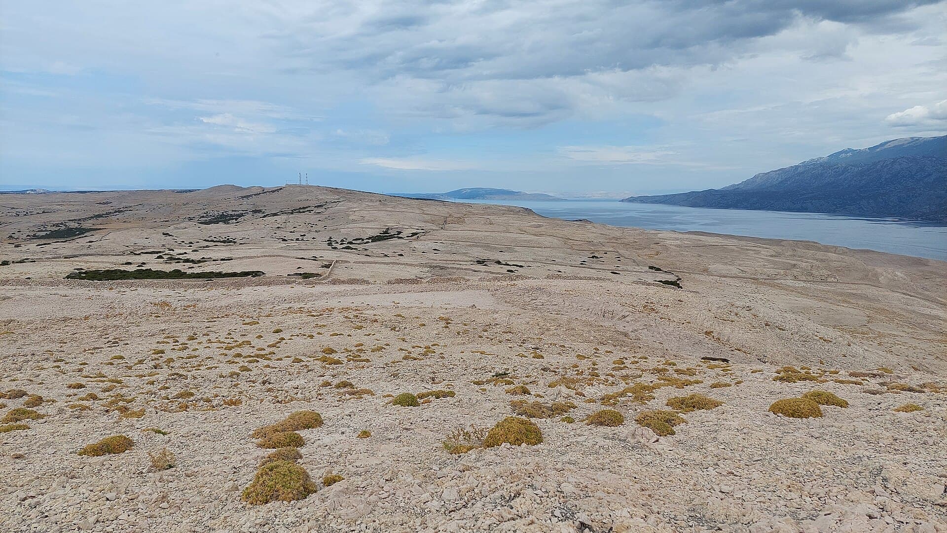
pareidolia and land formation in the shape of an irregular quadrilateral near the village Caska on the island Pag in Croatia
9 km from Mandre
Stays nearby
- Apartment
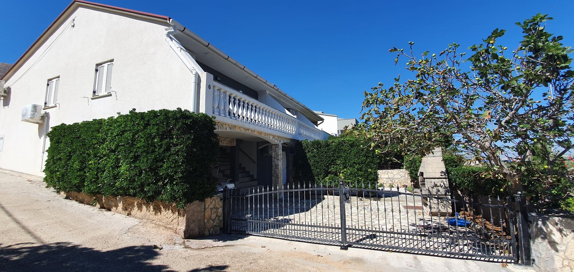 11 km from Mandre
Be the first to list here
Guests looking for this place only see stays nearby for now. No commission, and enquiries come straight to you.
List your accommodation
Beaches
Mandre has a chain of bathing spots along the built-up waterfront, generally reached on foot from the surrounding streets. A county tourism plan describes the village beach as a partly equipped pebble beach, while municipal planning separately identifies organised and natural bathing zones. For a quieter swim, choose the outer stretches of coast rather than the working harbour itself, which is reserved for boats. Views from the shore extend across the Maun Channel towards Maun and Škrda, giving Mandre’s sunsets a distinctly island-framed horizon.
Bathing water quality nearby
- Mala Mandra · 470 mnot classified
- Mandre · 702 mnot classified
Source: European Environment Agency (EEA); data from Croatian authorities. · bathing water profile
Things to do
Start a morning walk at the harbour and follow Lungo Mare past the bathing places along the edge of the village. The Kolan Tourist Board map marks the port, dining venues and children’s park along this coastal strip, allowing the central circuit to be completed without a car. From the waterfront, climb towards the church before returning through the residential streets. Continue by bicycle or car to Kolan, where Pag’s sheep-farming and cheese tradition is tied to Kolanjsko polje, or head towards Sveti Duh beach, for which the municipality’s traffic plan identifies a dedicated parking area. Finish the day on Mandre’s west-facing shore, looking across the Maun Channel rather than towards the bare slopes characteristic of Pag’s Velebit-facing side.
Food and drink
Mandre’s restaurants line Lungo Mare, making dinner easy to combine with a harbour walk. Public Mandre is located at Lungo Mare 11 and, according to its own website, serves daily—opening at 11 a.m. from Monday to Saturday and at noon on Sunday; seasonal changes should still be checked before visiting. The Island Pag Trail tourism project also lists Restaurant Program on Lungo Mare and cautions that opening hours may differ outside the visitor season. For an ingredient firmly rooted in this part of Pag, look for sheep’s-milk cheese from Kolan, the inland village immediately above Mandre. The waterfront position of these restaurants makes advance reservations sensible for evening tables during July and August.
Tours and activities
AdAd · partner offers: Viator, GetYourGuideThe partner handles booking, payment and support. StayBravo may earn a commission on bookings made through these links.How we choose offersWe choose offers based on the page you are viewing: the partner destination for this place or the nearest one (with its distance), and on a sight page only offers that mention it. We show offers rated at least 4.3 with at least 10 reviews, without multi-day tours or pure transfers, ordered by rating adjusted for the number of reviews and then by the partner’s order. We do not use data about you, and the commission does not affect the order.GetYourGuide offers are selected and ordered by GetYourGuide based on the name of the nearest larger town or national park; we do not influence their selection and do not use data about you.Viator
Nearest destination: Zadar (47 km)
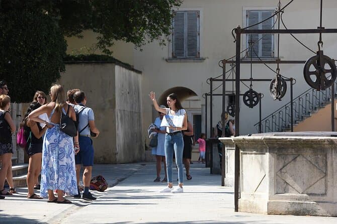
Zadar Highlights: Old Town, Sea Organ & Local Tastings (opens in a new tab)
A 2-hour small-group walk through Zadar's Old Town covering the city's top landmarks, the world-unique Sea Organ, and a tasting of local maraschino liqueur and cheese with a licensed local guide.
Rated 5 out of 5 · 478 reviews· 2 h
Free cancellation
from €20
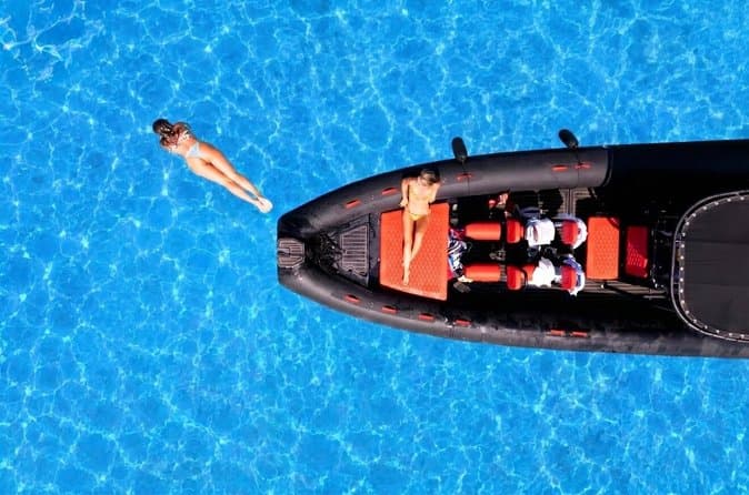
Zadar: Luxury Island Boat Tour, Snorkeling & Unlimited Wine (opens in a new tab)
Embark on an unforgettable adventure and explore the wonderful islands that adorn our Adriatic Sea. You have two types of tour, 4 hour with 3 stops and 3 hour with 2 stops. Explore the crystal clear…
Rated 5 out of 5 · 1,393 reviews· 4 h
Free cancellation
from €47
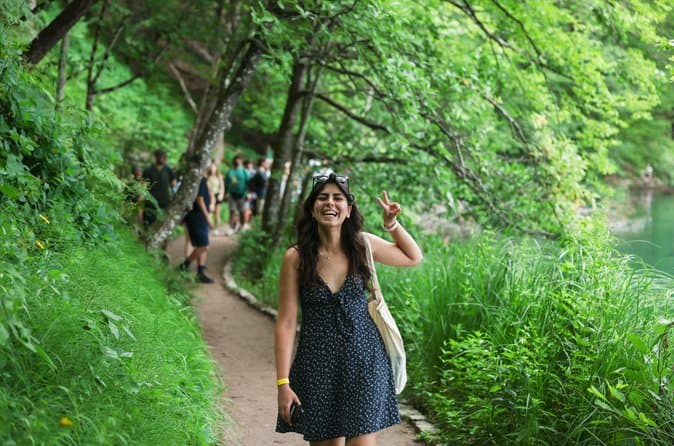
From Zadar Plitvice Lakes Guided Day Tour with Tickets (opens in a new tab)
Discover the UNESCO-listed Plitvice Lakes with a passionate local guide and enjoy one of the easiest ways to visit Croatia’s most iconic national park from Zadar. Travel through the scenic Croatian…
Rated 4.9 out of 5 · 1,689 reviews· 10 h
Free cancellation
from €45
Zadar: Romantic Luxury Sunset Boat Tour with Aperol Spritz (opens in a new tab)
We will start our tour from the oldest harbor in Zadar, Foša. After that we will cruise by the Zadar seafront and famous Sea Organs where thousands of people come every night to see world famous…
Rated 5 out of 5 · 330 reviews· 1.3 h
Free cancellation
from €25
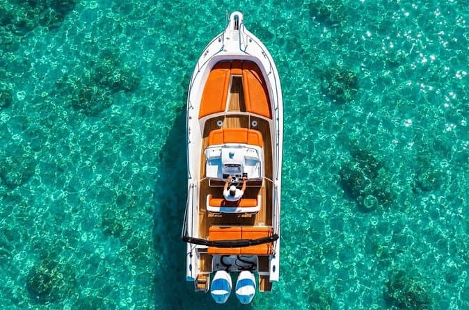
Zadar: Half Day Island Hopping Tour & Old Town Panoramic Cruise (opens in a new tab)
Step off the beaten path and discover the authentic soul of Dalmatia. On the islands, time moves slower and local traditions are still alive. Swim, snorkel, sunbathe, stroll through charming…
Rated 4.9 out of 5 · 418 reviews· 4 h
Free cancellation
from €19
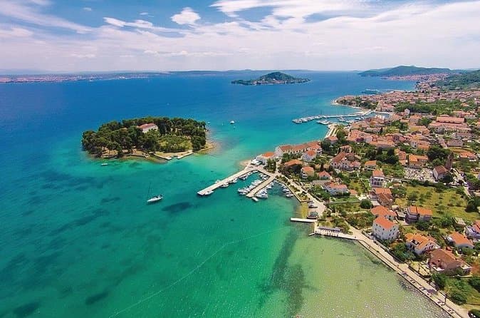
Private Sailing Tours in Zadar Archipelago (opens in a new tab)
We are a family business with a vision of presenting the beautiful nature and history of Zadar and Island Ugljan, Croatia. Sail away with us and absorb the sea breezes and panoramic views over Zadar…
Rated 5 out of 5 · 135 reviews· 4 h
Free cancellation
from €450
GetYourGuide · Novalja
We show GetYourGuide offers once you allow their cookies.
Practical information
Practical information
Visitor information for Mandre is provided by the Kolan Municipality Tourist Board, based at Trg kralja Tomislava 6 in Kolan and reachable at [email protected]. Its official website combines beach, restaurant, event and calendar information for Kolan, Mandre and Kolanjski Gajac. A car is useful for supplies, medical services and island excursions because Mandre is separate from the larger centres of Pag and Novalja. Summer performances, workshops and food events should be checked in the Tourist Board’s calendar for the actual year of travel.
Parking
Mandre’s 2022 traffic plan designated unpaved parking areas named Obala Mandre 1 and Obala Mandre 2 beside the pedestrianised Lungo Mare. Obala Mandre 1 is approached from Ulica hrvatskog viteza Zvonka Zubovića, while Obala Mandre 2 is signed from Ribarska Street. The plan also identifies parking on both the north and south sides of the village church, reached from Široka Street and Put Kolana, plus another area by the playing field. Municipal operator ČIOK announced that paid public parking in Mandre began on 15 July 2022, operating daily from 7 am to 9 pm.
Getting there and around
Mandre is reached by road either across Pag Bridge from the south or via the Prizna–Žigljen ferry from the north, followed by the local turn from the island’s main road through Kolan. In 2022, Kolan Municipality operated a summer Kolan–Mandre–Kolan minibus from 15 June to 4 September. Its Mandre stop was beside the Mandre Business Centre and Konzum, with departures coordinated with onward connections towards Zadar, Novalja and Zagreb. That timetable and its 15-kuna fare applied specifically to 2022 and should not be treated as current travel information. Anyone relying on public transport should check whether the municipality has reinstated a seasonal service for their travel year; a car remains the most direct option from either end of Pag.
Frequently asked questions
Which municipality is Mandre in?
Mandre is part of the Municipality of Kolan, together with Kolan and Kolanjski Gajac.
Which islands can be seen from Mandre?
Mandre looks across the Maun Channel towards Maun and Škrda.
When was Mandre’s church built?
Mandre’s Church of Our Lady of the Snows was built in 2005.
Is the village beach pebbly?
The county tourism plan describes Mandre beach as pebbly and partly equipped.
Does Mandre have a passenger harbour?
Yes. Municipal planning classifies the harbour as a local passenger port.
Nearby
Mandre
Open in OpenStreetMap(opens in a new tab)straight-line distance
Related guides
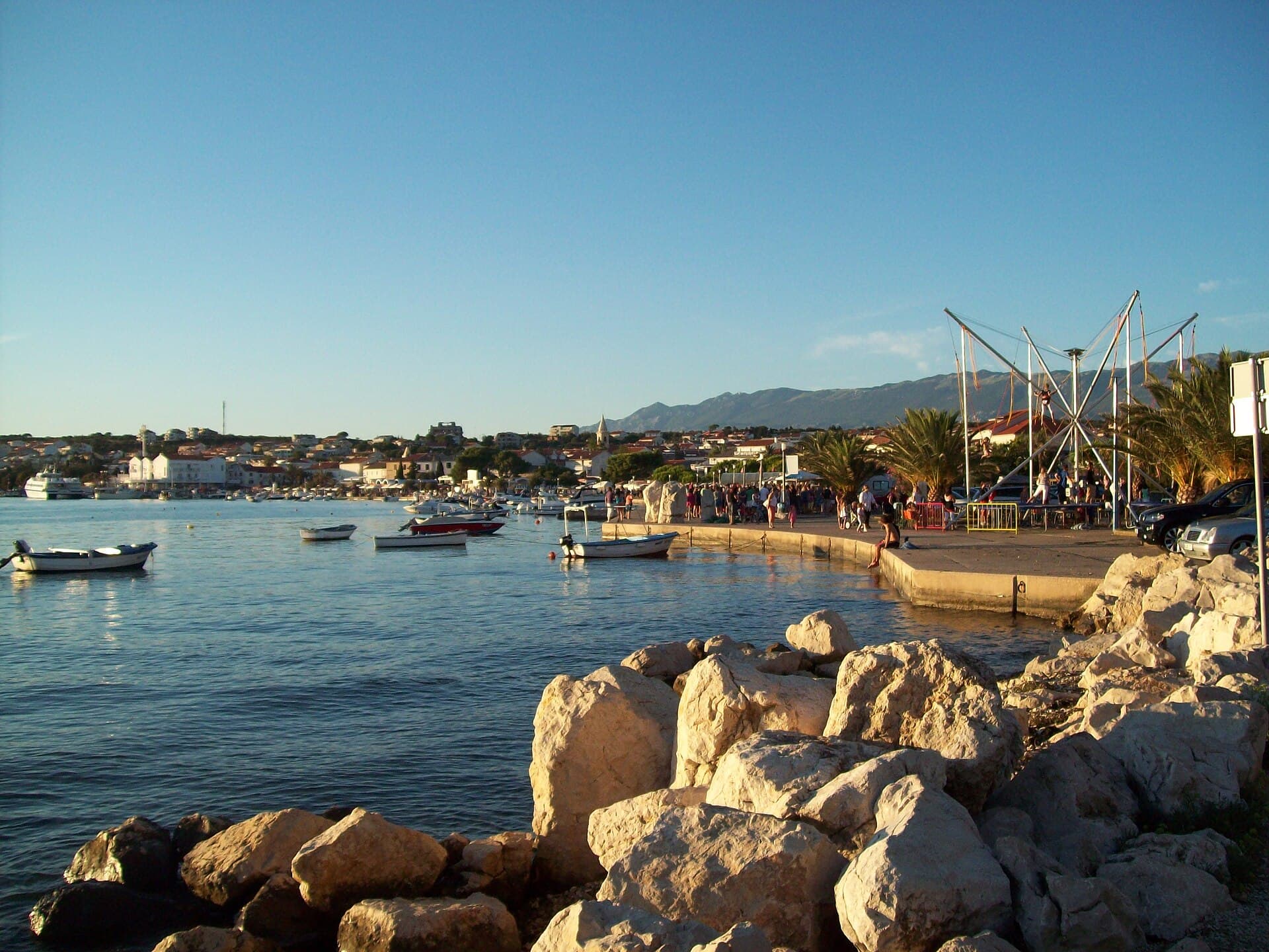
Novalja
Novalja curves around a bay on Pag’s western shore, with the waterfront, Trg Bazilike and streets around Mala crikva forming the centre. Landing places and restaurants line the water, while…
Read the guide
Nin
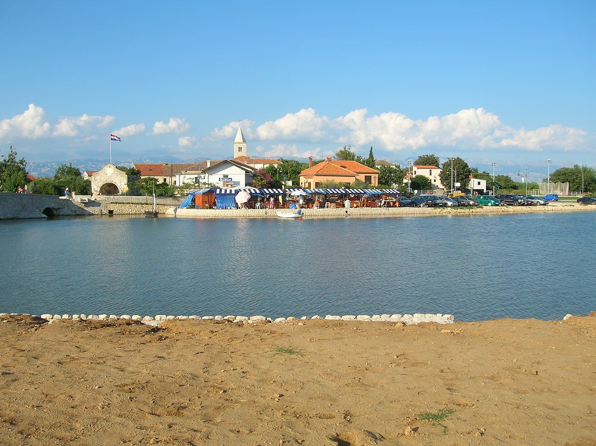
Nin’s historic centre occupies a low islet within a lagoon, connected to the mainland by bridges. Crossing into the centre creates a different first impression from arriving in nearby…
Read the guide
Pakoštane
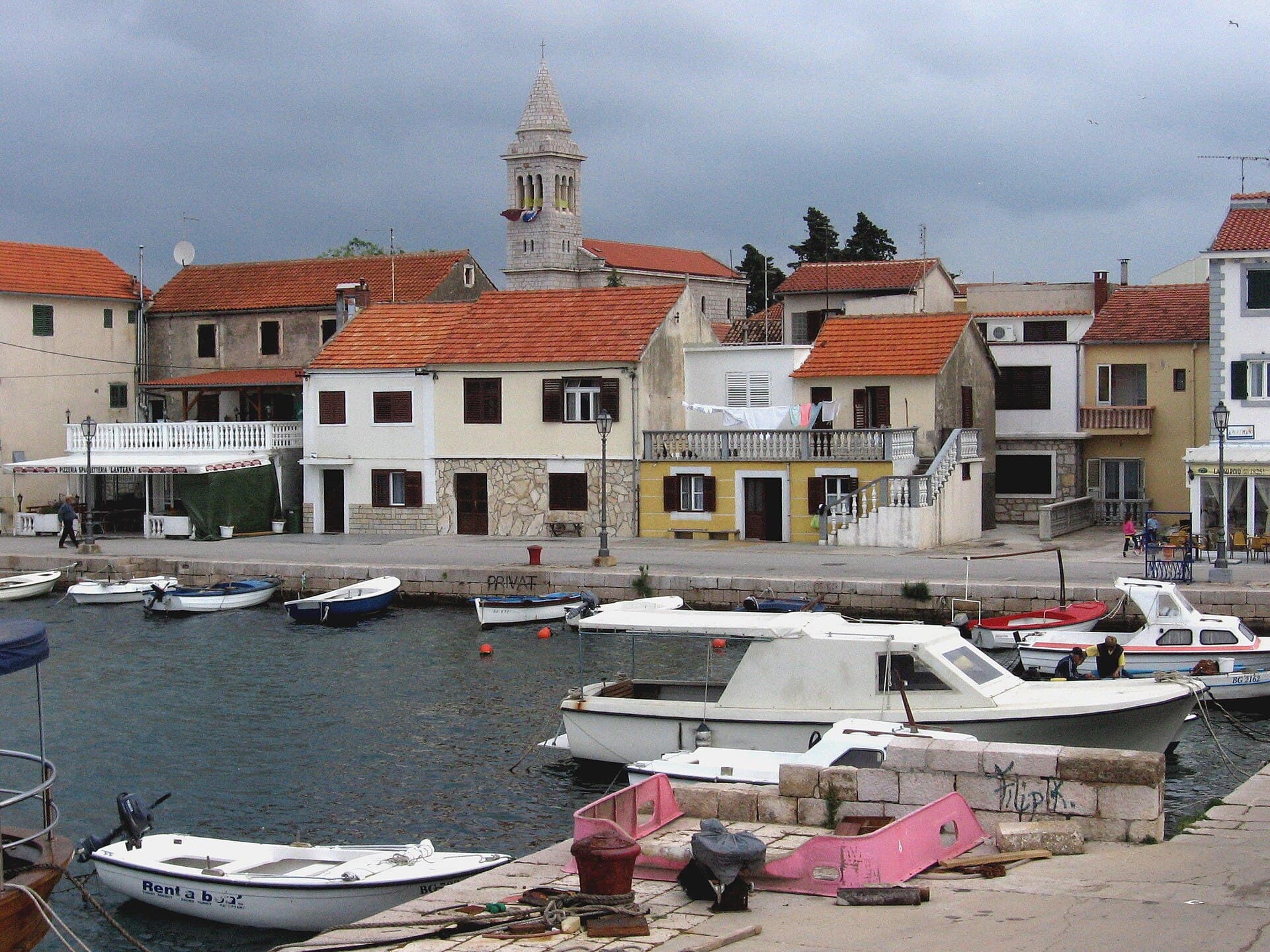
Pakoštane occupies a narrow strip between the Adriatic and Lake Vrana, allowing visitors to move from a Dalmatian waterfront to the reeds of an ornithological reserve within minutes. The…
Read the guide
Pag
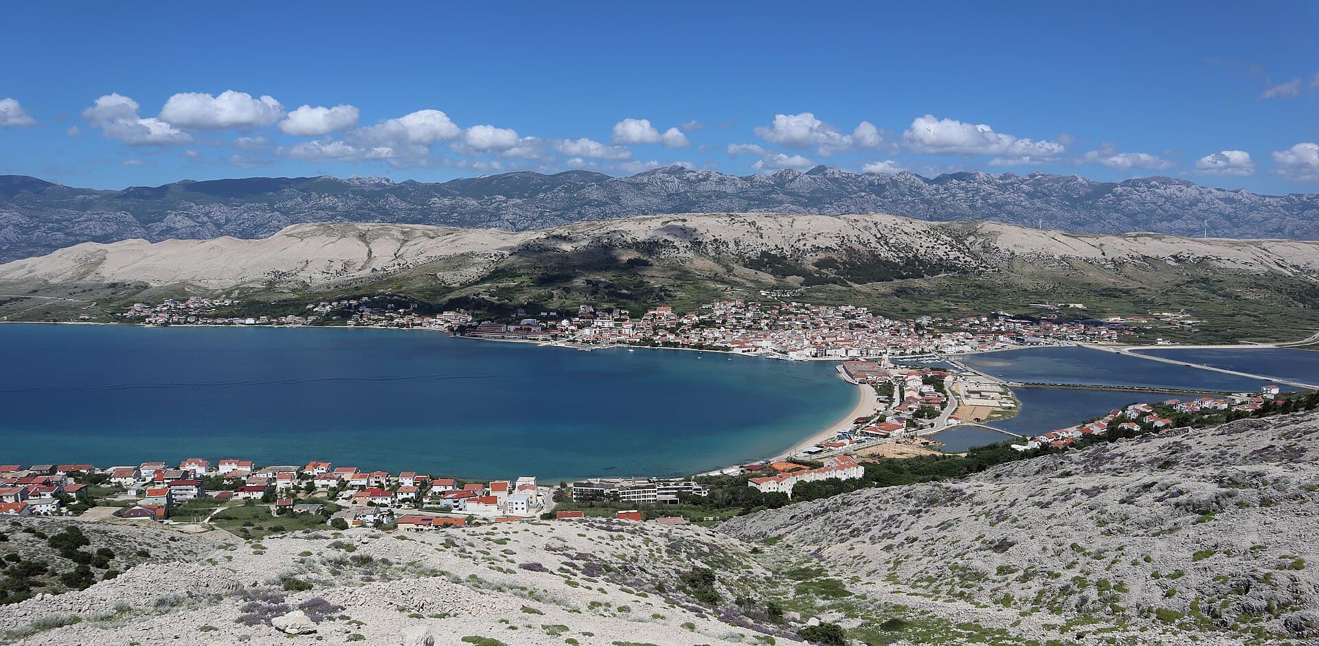
Pag is a planned stone town whose orderly street grid converges on Petar Krešimir IV Square, the Collegiate Church of the Assumption and the Rector’s Palace. The settlement moved to its…
Read the guide
Know Mandre? Correct us
Tell us in your own words what is not accurate. We check right away.Do not enter personal data. Corrections are checked by the StayBravo AI assistant; changes to the description are approved by an editor. Use the form instead
Do you know Mandre?
Help the guests who come after you.
Help us complete
Nothing is published without an editor’s review.Report illegal content
Photo credits: Mandre — pepanos (CC BY 3.0) · Gajac — Mrdvt92 at en.wikipedia (CC BY-SA 3.0) · Zubovići, Novalja, Pag, Basilica of the Assumption of Mary — Palauenc05 (CC BY-SA 4.0) · Metajna — Mich973 (CC BY-SA 4.0) · Novalja — JoeTimBlackMax (CC BY-SA 3.0) · Cesarica — Klapi (CC BY-SA 4.0) · Karlobag — Orlovic (Public domain) · Kolansko blato — Lendert Van Laer (CC BY-SA 4.0) · Dubrava Hanzine — Christian Pirkl (CC BY-SA 4.0) · Pag Triangle — Harald Hetzner (CC0) · Apartmani Bukal — Partner (courtesy of the property owner) · Nin — Amphisbène (CC BY 2.5) · Pakoštane — Roman Klementschitz, Wien (CC BY-SA 3.0)