Kaštel Novi
About this place
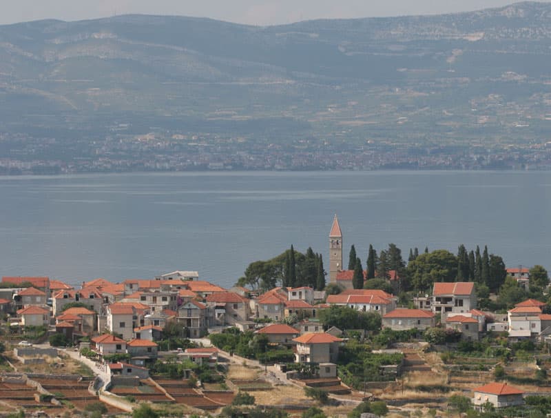
Kaštel Novi is one of the seven settlements forming the City of Kaštela, with an old waterfront core that grew around the stronghold of Trogir nobleman Pavao Antun Ćipiko. His square fortified residence was built in 1512; walls once guarded the landward sides of the settlement, while the bay protected its southern edge. Brce, the small square at the old northern entrance, occupies the former drawbridge site and contains a fraternity house with a clock dating from 1775. Nearby, the parish church of St Peter of Klobučac stands on the foundations of a 13th-century church, making the church, Brce and Ćipiko tower a compact historical circuit. The seafront supplies the second half of the visit: Porat is Kaštel Novi’s own bathing spot, while the pebble beach of Gabine lies farther west in neighbouring Kaštel Štafilić. Promet buses connect the Kaštela corridor with Split, Split Airport and Trogir, and route 2 has stops near the top of Škabrnjska Street.
Kaštel Novi takes its identity from the Ćipiko stronghold of 1512 and the compact settlement that formed between defensive walls and the sea. On its northern side, Brce marks the former drawbridge entrance; the fraternity house and its 1775 clock remain the square’s defining historical detail. The parish church of St Peter of Klobučac preserves an even older layer, having been built over the foundations of a 13th-century church. Above the waterfront lies the Kaštela plain, long associated with grape growing, so the village’s maritime setting and its vineyard heritage meet within a remarkably small area.
Stays
No stays listed here yet
Beaches
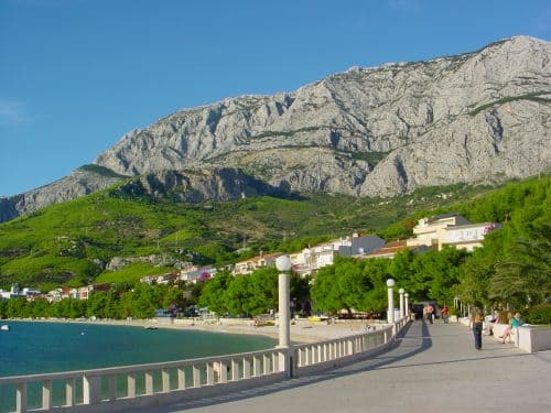
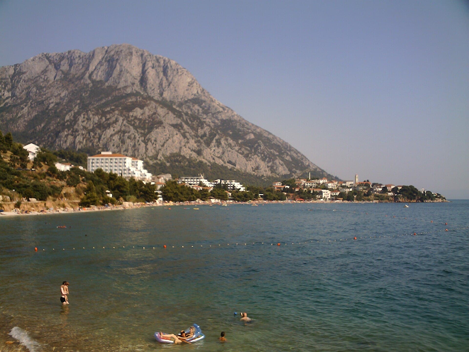
Porat is the bathing spot listed under Kaštel Novi in the official Kaštela beach directory, making it the natural choice for a swim beside the village itself. West of the historic centre, the shoreline continues into Kaštel Štafilić and reaches Gabine, specifically identified as a pebble beach. Farther towards Resnik, the same directory distinguishes Stari Resnik, combining pebbles and sand, from Dračić, where pebbles, sand and rocks occur together. This short western stretch of the Kaštela coast therefore offers several surfaces, although Porat remains the beach associated directly with Kaštel Novi.
Bathing water quality nearby
- K. Štafilić - Gabine · 391 mexcellent · season 2025
- Đardin · 1.1 kmsufficient · season 2025
- Hotel Palace · 1.7 kmexcellent · season 2025
- Resnik · 1.8 kmexcellent · season 2025
- Miljenko i Dobrila · 1.9 kmexcellent · season 2025
- Šulavi · 2.2 kmexcellent · season 2025
Things to do
Begin at Brce, whose position still reveals the northern entrance to the former walled settlement, and examine the fraternity house with its clock from 1775. Walk downhill to the square Ćipiko stronghold commissioned by Pavao Antun Ćipiko in 1512, then continue to the parish church of St Peter of Klobučac. After tracing the historic core, join the waterfront promenade and finish at Porat, the bathing place that the official Kaštela beach directory assigns specifically to Kaštel Novi. A longer seaside walk can continue west towards the pebble shore at Gabine in neighbouring Kaštel Štafilić.
Practical information
Getting there and around
Kaštel Novi sits on the coastal transport corridor between Split and Trogir, served by the Promet bus network. Route 2 links Split Airport at Resnik with Split along Cesta pape Ivana Pavla II, with stops for Kaštel Novi installed near the top of Škabrnjska Street on both sides of the main road. Promet publishes timetables with explicit effective dates, so journeys in 2026 should be checked against the schedule valid on the chosen travel day. The settlement’s position also allows onward travel west towards Trogir or east towards Split without first backtracking to a separate hub.
Frequently asked questions
When was the Ćipiko stronghold built?
Pavao Antun Ćipiko commissioned it in 1512, and the settlement later grew around its square tower.
Which beach is in Kaštel Novi?
The official Kaštela Tourist Board directory lists Porat as the beach in Kaštel Novi.
Where is the route 2 bus stop?
The Kaštel Novi stops are near the top of Škabrnjska Street, on both sides of Cesta pape Ivana Pavla II.
Nearby

Kaštel Štafilić
Village · Dalmatia – Split

Related guides

Split
In Split, the transition from ancient monument to ordinary street is almost imperceptible: entering the southern part of Diocletian’s Palace from the Riva leads towards the Peristyle, then…
Read the guide

Help improve this page
Spot something missing or wrong? Suggest a correction, add your photo or report a problem. Editors review every suggestion before it is published.
Photo credits
- Kaštel Novi — Ante Perkovic · CC BY-SA 3.0 · Wikimedia Commons
- Kaštel Štafilić, Kaštel Stari, Kaštel Lukšić — Peranz · CC BY-SA 3.0 · Wikimedia Commons
- Kaštela — Николай Максимович · CC BY 3.0 · Wikimedia Commons