Ugljan
About this place
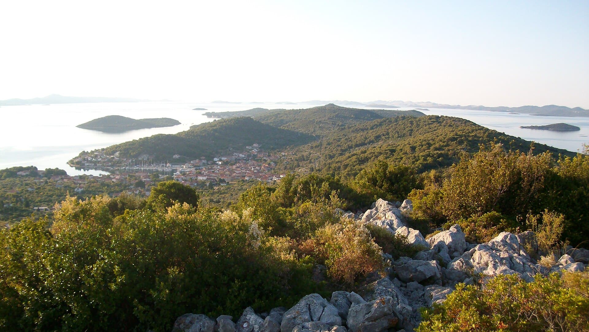
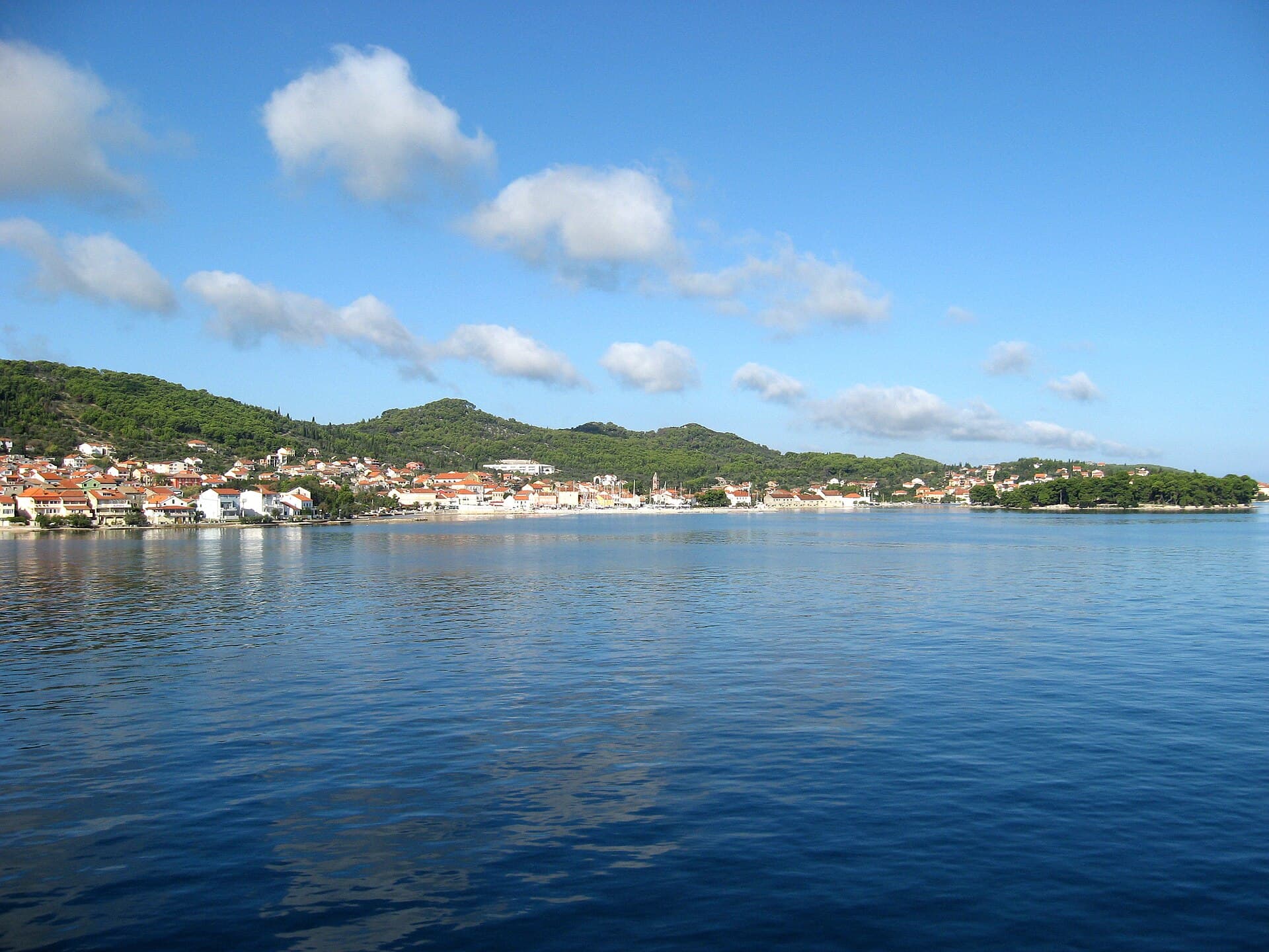
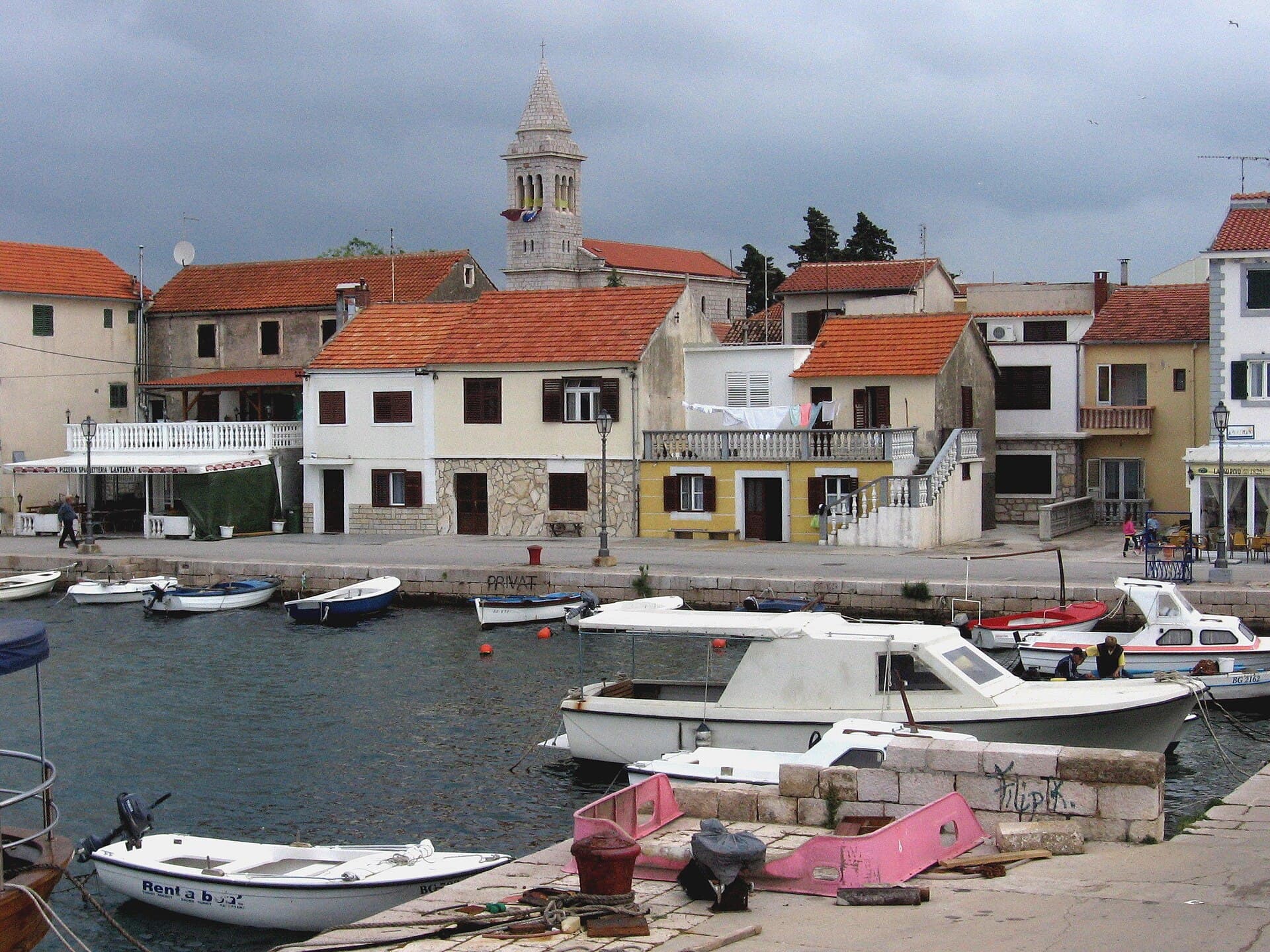
Ugljan village spreads across the northern part of its namesake island, incorporating coastal hamlets such as Čeprljanda, Batalaža, Sušica and Muline. Its identity rests on olive groves, sandy coves and historical layers tied to the Roman territory of Zadar. Muline preserves the remains of a villa rustica, mausoleum, first-century oil-processing complex and an early Christian basilica dedicated to St John. In the main village, the Franciscan monastery of St Jerome stands beside Mostir Bay, allowing a cultural visit and a swim to be combined without transport. Mostir is known for sand and a shallow protected bathing area, while Južna Luka near Muline has a sandy seabed, broad shoreline rocks and pines. Ugljan village has no direct ferry terminal for Zadar: Preko is the island’s principal gateway, served by car ferries from Gaženica and passenger boats from the city harbour. An island road and local bus continue from Preko to Ugljan and Muline. The layout suits days mixing archaeology, short rides through olive country and swims in separate hamlets.
Ugljan village occupies the island’s northern end and incorporates nine distinct hamlets: Čeprljanda, Lučino Selo, Batalaža, Sušica, Gornje Selo, Muline, Guduće, Fortoština and Varoš. This dispersed pattern explains why its beaches, churches and archaeological remains do not cluster around a single waterfront. Olive trees and dry-stone walls shape the ground between the hamlets; the regional tourist board counts more than 200,000 olive trees across the island. Northern Ugljan’s historical focus is Muline, where a Roman agricultural complex records oil processing from the first century. Mostir Bay and the monastery of St Jerome form the village’s central postcard view, while Muline and Južna Luka farther north retain a separate, quieter coastal rhythm.
Stays nearby
 Apartment
Apartmeni Klenovica.eu
Klenovica
Klenovica, 110 km from Ugljan
up to 4 guests · 1 bedroom
The host confirms the exact price for your dates and availability.
Things to see
The Franciscan monastery of St Jerome, standing on the headland beside Mostir, is Ugljan village’s most recognisable architectural ensemble. At Muline, the archaeological area comprises a Roman villa rustica, mausoleum, first-century oil-processing installation and the remains of an early Christian basilica dedicated to St John. These remains belong to the period when the island formed part of Zadar’s Roman territory, making northern Ugljan a direct record of the economic link between island estates and ancient Zadar. A reconstructed press beside the oil works makes the purpose of the stone remains easier to understand. Mosaic benches around the settlement add a contemporary layer; Muline’s Sunset Bench is oriented towards the western horizon. For an island-wide panorama, the key addition is St Michael’s fortress above Preko.
Beaches
Mostir is Ugljan’s central beach below the monastery of St Jerome, with a sandy shallows suited to children and less confident swimmers. Its equipped area includes a shower, toilet, changing cabin, access ramp and floating barrier around the shallow section, with a beach-volleyball court nearby. Južna Luka near Muline also has sand underfoot and a gradual entrance, together with broad smooth rock formations and shoreline pines. Čeprljanda offers smaller bathing places around its inhabited cove, convenient for visitors staying in that hamlet. Ćinta is a rockier inlet with deeper water and a markedly different character from Mostir. Arriving early is useful at central Mostir, whereas Južna Luka requires continuing north towards Muline.
Bathing water quality nearby
- Sveti Jerolim · 368 mnot classified · season 2025
Source: European Environment Agency (EEA); data from Croatian authorities. · bathing water profile
Things to do
Start the morning beside the Franciscan monastery of St Jerome and neighbouring Mostir’s sandy beach. After a swim, continue through the northern hamlets to Muline, where a villa rustica, mausoleum, Roman oil works and the remains of St John’s basilica share one archaeological area. A reconstruction of the old press helps connect the ruins with the olive-growing tradition that still defines Ugljan. Spend the afternoon at Južna Luka for its shallow sandy seabed and views across the more open northern waters. On foot or by bicycle, use the routes through olive groves and beside dry-stone walls highlighted by the regional tourist board. For a wider island excursion, travel south towards Preko and the ascent to St Michael’s fortress.
Practical information
Practical information
The Ugljan Tourist Board office is at 17 Šimuna Kožičića Benje Street, with the official telephone number +385 23 288 011. Because the settlement includes nine hamlets, accommodation searches should check the actual distance to Mostir, Muline or a bus stop rather than relying only on the label “Ugljan.” Closed shoes are useful at the Roman site in Muline and on tracks through the olive groves, while carrying water is sensible for Južna Luka. Journeys to Zadar must be planned through Preko, and the passenger boat and car ferry use different terminals on the Zadar side. Sailing patterns change seasonally, so the current 2026 departure should be checked before leaving northern Ugljan.
Getting there and around
Ugljan village is usually reached from Zadar through Preko, the island’s main port south of the settlement. Passenger route 409 connects Preko with Zadar’s city harbour, with the published 2025 timetable giving a 25-minute crossing; vehicles use the ferry from Gaženica. From Preko, the island road continues through Poljana, Sutomišćica and Lukoran, while local buses run onward towards Čeprljanda and Muline. A bicycle works well between Ugljan’s hamlets, although Muline and Južna Luka are farther from the village centre than the shared place-name may suggest. Travellers without a car should coordinate the bus with the final boat, especially outside summer when intervals between sailings are longer.
Frequently asked questions
Where are Ugljan’s Roman remains?
They are at Muline, where a villa rustica, mausoleum and first-century oil-processing complex survive.
Is Mostir a sandy beach?
Yes. Mostir has sand and a shallow bathing area enclosed by a floating barrier.
Where is the Ugljan Tourist Board office?
The office is at 17 Šimuna Kožičića Benje Street in Ugljan village.
Does Ugljan village have a direct car ferry?
No. Car ferries dock at Preko, followed by an onward drive along the island road to Ugljan village.


Related guides
Novalja
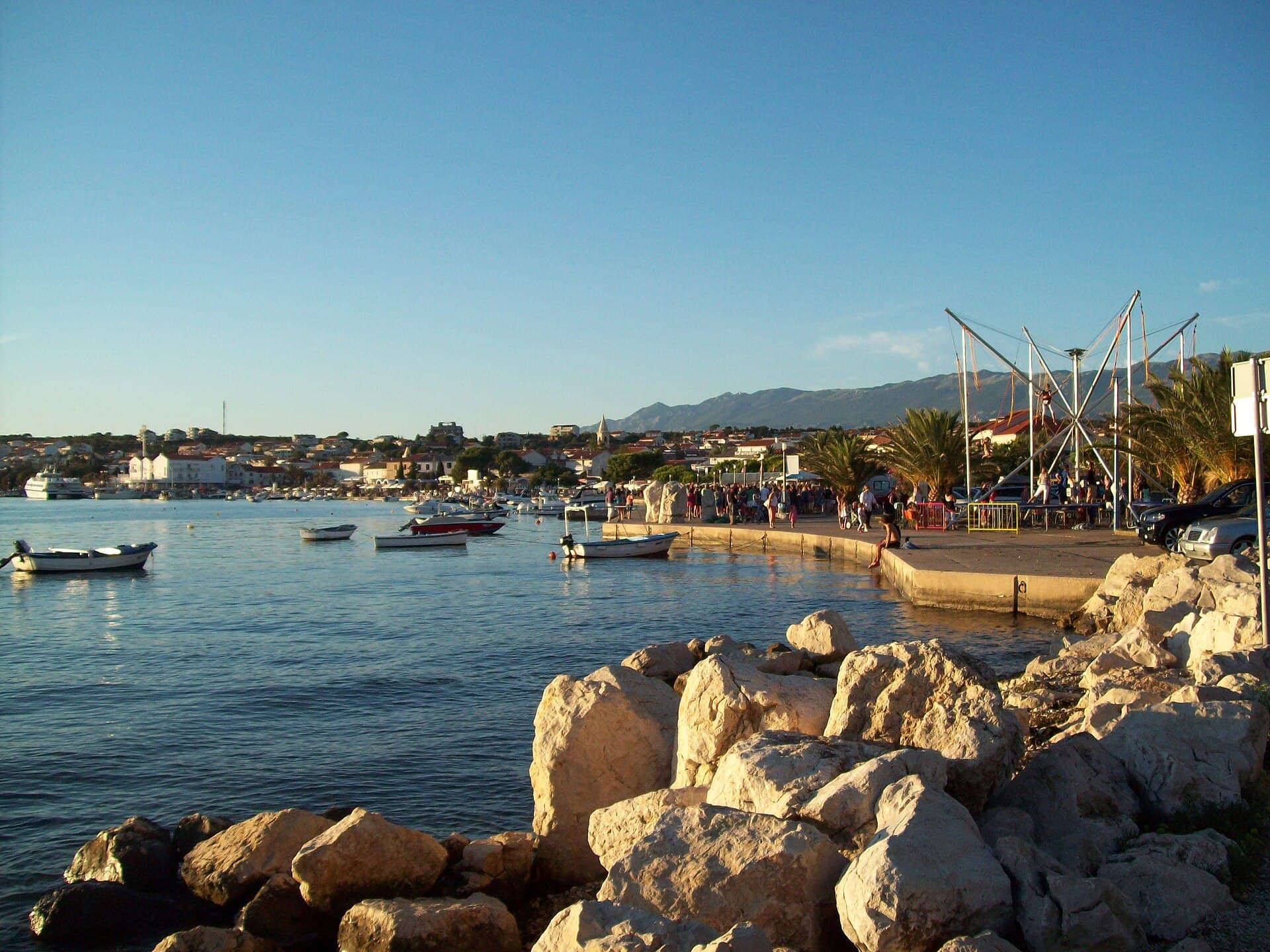
Novalja curves around a bay on Pag’s western shore, with the waterfront, Trg Bazilike and streets around Mala crikva forming the centre. Landing places and restaurants line the water, while…
Read the guide
Help improve this page
Spot something missing or wrong? Suggest a correction, add your photo or report a problem. Editors review every suggestion before it is published.
Photo credits
- Ugljan — velfran · CC BY-SA 3.0 · Wikimedia Commons
- Lukoran — The original uploader was Maestralni at Croatian Wikipedia. · CC BY-SA 3.0 · Wikimedia Commons
- Petrčane — Markus Unger from Vienna, Austria · CC BY 2.0 · Wikimedia Commons
- Veli Iž — Ambroix · CC BY-SA 4.0 · Wikimedia Commons
- Poljana, Ugljan