About this place
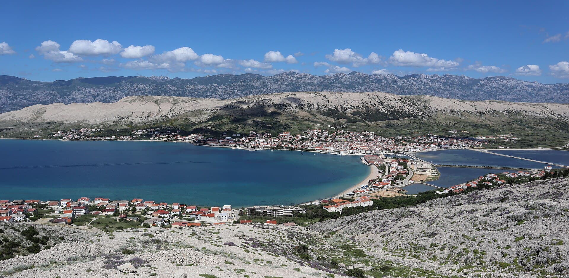
Starigrad beneath Velebit is both a seaside settlement and the main coastal gateway to Paklenica National Park. The transition from the Velebit Channel into deep mountain canyons defines the experience: in a single day it is possible to walk beside the sea and then enter the cliffs of Velika Paklenica. The area also preserves traces of Roman Argyruntum, including a necropolis from the 1st–3rd century, while the Romanesque Church of St Peter dates from the 11th–12th century. Večka kula stands directly on the coast and is one of the most visible historic remains. Paklenica became a national park in 1949; Anića kuk is famous among climbers, while Manita peć introduces visitors to Velebit’s underground landscape. Starigrad therefore suits active holidays especially well, but it is more than a service base for the park. Roman, medieval and mountain heritage all lie close together, allowing the coast and Velebit to be explored without long transfers.
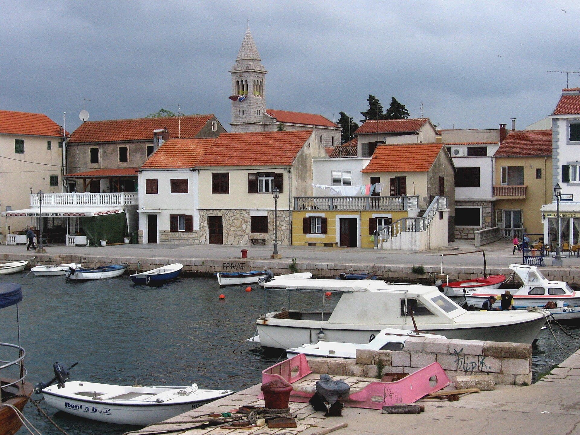
The settlement’s official registered name is Starigrad, although local and tourism material commonly uses Starigrad–Paklenica. It forms a long coastal strip beneath Velebit’s steep southern slopes, with Bikarija and Stjepan Radić Square acting as its waterfront centre. Starigrad’s character combines a fishing heritage with the steady flow of hikers heading into Velika Paklenica, so excursion boats, swimmers and visitors carrying mountain gear share the same seafront. The local tourist board markets Starigrad together with Seline and Tribanj as the Paklenica Riviera, while Starigrad itself provides the area’s principal municipal and visitor services.
Stays
No stays listed here yet
Things to see
Roman Argyruntum occupied the Starigrad area, and one of its important archaeological remains is a necropolis dating from the 1st–3rd century. The Romanesque Church of St Peter dates to the 11th–12th century and provides an easily accessible medieval monument near the settlement. Večka kula, a ruined stone tower standing directly on the shore, is visually one of the most recognisable sites in the Starigrad area. Above the coast, towards the canyon entrances, there are also traces of fortified Liburnian settlements. A historical visit therefore spans several periods and site types, from a Roman cemetery and Romanesque church to defensive positions beneath Velebit.

Beaches
Bathing water quality nearby
- Hotel Alan · 1.3 kmexcellent · season 2025
Source: European Environment Agency (EEA); data from Croatian authorities. · bathing water profile
Things to do
Begin on Starigrad’s waterfront at Bikarija, then follow Put Bunara and Velebitska Street to the reception at Entrance 1 of Velika Paklenica. Inside the canyon, continue towards the underground visitor centre and climbing sector; the more demanding walk from the main car park to Manita peć cave takes about ninety minutes. For a gentler afternoon, return to the coast and walk to Kulina Beach, where Večka Tower rises directly beside the sea. The Paklenica Riviera’s hiking and cycling network also links Starigrad with old Velebit hamlets and provides a route onwards to Seline and its natural pebble beach, Pisak.
Food and drink
Starigrad’s food scene draws on locally caught fish and shellfish as well as ingredients associated with the Velebit hinterland, including wild herbs. The Taste the Heritage programme offers a useful introduction through cuttlefish with čičvarda cornmeal, mackerel in fennel sauce, fish stew with polenta, mussels and sardines; several 2026 tastings take place at Bikarija. For a conventional meal along the main street, options include Bistro Ankora at 53 Dr Franje Tuđmana Street and Gostionica Dalmacija, only a few steps from the sea. Ankora provides its own parking, convenient after returning from Paklenica.
Practical information
Practical information
The Paklenica Riviera visitor office is at 1 Trg Tome Marasovića; its published telephone numbers are +385 23 369 245 and +385 23 369 255. Municipal services use the same address, making it the relevant point for local administrative or public-space enquiries during a stay in Starigrad. The settlement also has a harbourmaster’s branch office for navigation and port matters. When planning a national-park visit, distinguish the coastal centre from the reception at Entrance 1: from central Starigrad, turn into Put Bunara and then Velebitska Street towards the hamlet of Marasovići.
Parking
Under the tariff available in 2026, Starigrad’s public parking is charged from 1 June to 30 September, daily between 8:00 and 22:00. The blue zone covers Bikarija and Stjepan Radić Square; parking costs €1.20 per hour, €12 per day or €30 per week. The white zone is the Ispod Dukića car park, on the stretch between Kvartiri and Orasi, where the corresponding charges are €1 per hour, €10 daily and €20 weekly. The car park inside the Velika Paklenica canyon is separate from these municipal coastal zones.
Getting there and around
Starigrad stands on the Adriatic Highway about 40 kilometres north of Zadar, with its bus stop on Dr Franje Tuđmana Street in front of Hotel Alan. Arriva lists services towards Zadar, Šibenik, Split and Rijeka, with more departures in the summer season; the stop nearest the park is named Starigrad Paklenica NP. Drivers heading to Entrance 1 leave the highway in the centre, taking Put Bunara and then Velebitska Street. No ferry crossing is required to reach Starigrad, while the local harbour mainly accommodates smaller craft and coastal traffic rather than acting as an island ferry terminal.
Frequently asked questions
How far is the Paklenica entrance from Starigrad?
The entrance to the Velika Paklenica canyon lies immediately above the settlement, so the park is only a very short drive from Starigrad.
What is Večka kula?
Večka kula is a ruined stone tower directly on the coast in the Starigrad area and one of its most recognisable historic remains.
When was Paklenica declared a national park?
Paklenica was declared a national park in 1949.
Which Starigrad site is associated with Roman Argyruntum?
The area of ancient Argyruntum preserves archaeological remains including a Roman necropolis from the 1st–3rd century.


Related guides
Novalja
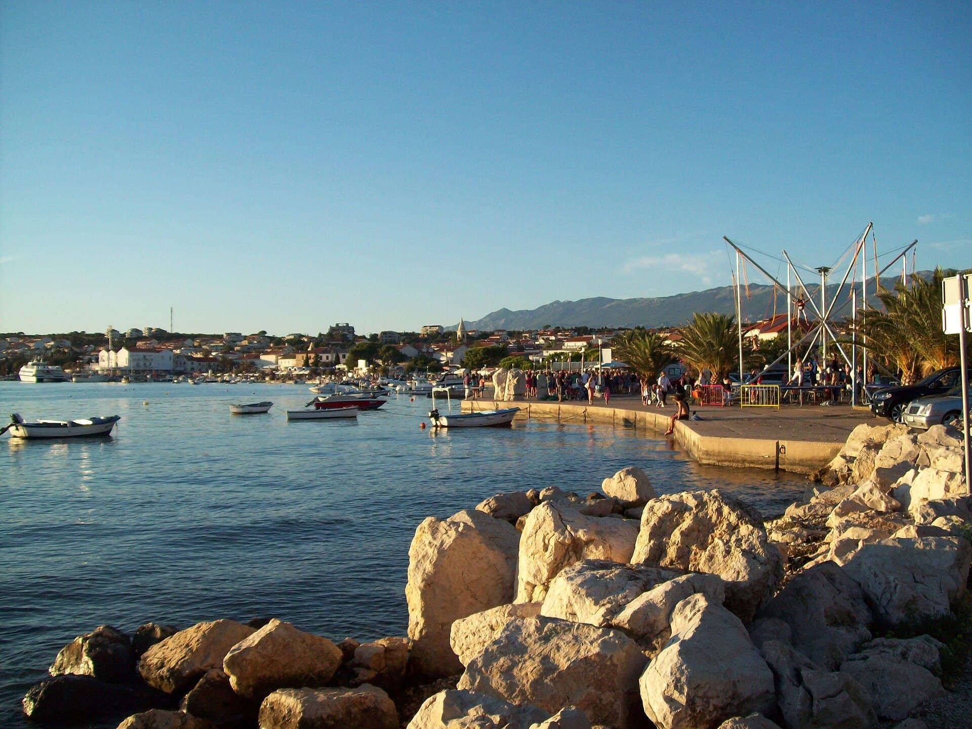
Novalja curves around a bay on Pag’s western shore, with the waterfront, Trg Bazilike and streets around Mala crikva forming the centre. Landing places and restaurants line the water, while…
Read the guide
Help improve this page
Spot something missing or wrong? Suggest a correction, add your photo or report a problem. Editors review every suggestion before it is published.
Photo credits
- Starigrad — Joadl · CC BY-SA 3.0 · Wikimedia Commons
- Seline — VitVit · CC BY-SA 4.0 · Wikimedia Commons
- Slivnica, Radovin — Z interactive · Public domain · Wikimedia Commons
- Vinjerac, Večka kula — Sopina Ana · CC BY-SA 4.0