Seline
About this place
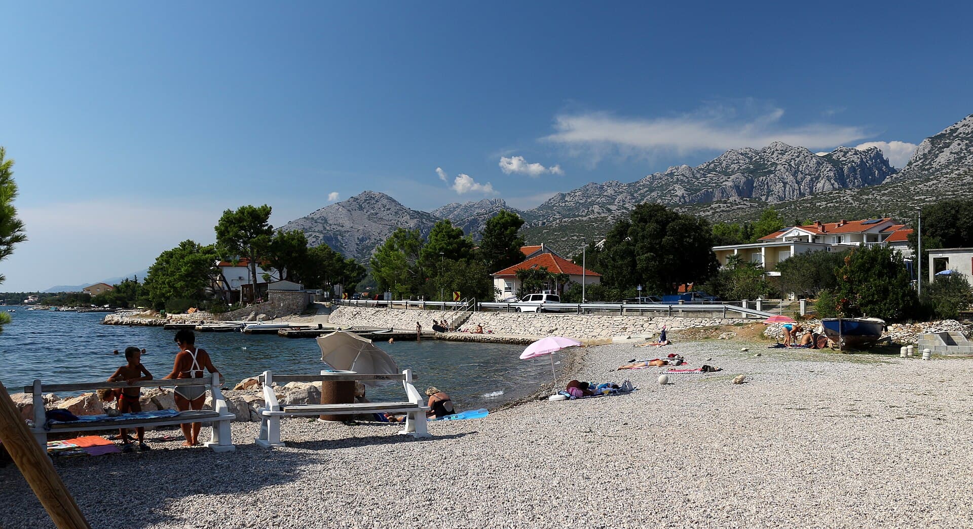
Seline spreads across a broad plain between a pebble shoreline and the Mala Paklenica canyon, bringing the Adriatic and the southern Velebit slopes together at the edge of the village. The Paklenica Riviera tourist board highlights walking and cycling links toward nearby Starigrad through small hamlets in the foothills, making Seline a convenient base for combining beach time with mountain scenery. The major natural draw is Paklenica National Park. Manita peć, the park’s only show cave, has received visitors since 1937; it lies at roughly 570 metres above sea level and takes about an hour and a half to reach on foot from the Velika Paklenica entrance area. The cave stays around 9°C, and a guided visit takes about 30 minutes. In July 2026 the park also announced a one-day technical closure of Manita peć on 3 July, a useful reminder to check current park notices before hiking up. Arriva links Zadar with the Paklenica area, around 46 kilometres and roughly an hour away by bus.
Seline lies on a broad plain between a pebble beach and the Mala Paklenica canyon, directly beneath the southern Velebit slopes. That geography shapes the village: the coast borders the settlement, while mountain terrain opens immediately toward Paklenica National Park. Seline is linked with Starigrad by promenades and walking-cycling paths that pass through small foothill hamlets. Instead of treating a seaside holiday and a mountain break as separate experiences, visitors can move from swimming to a Velebit walk within the same day. Mala Paklenica is therefore more than a backdrop to Seline; it is one of the two major canyons that define the wider Paklenica landscape.
Things to see
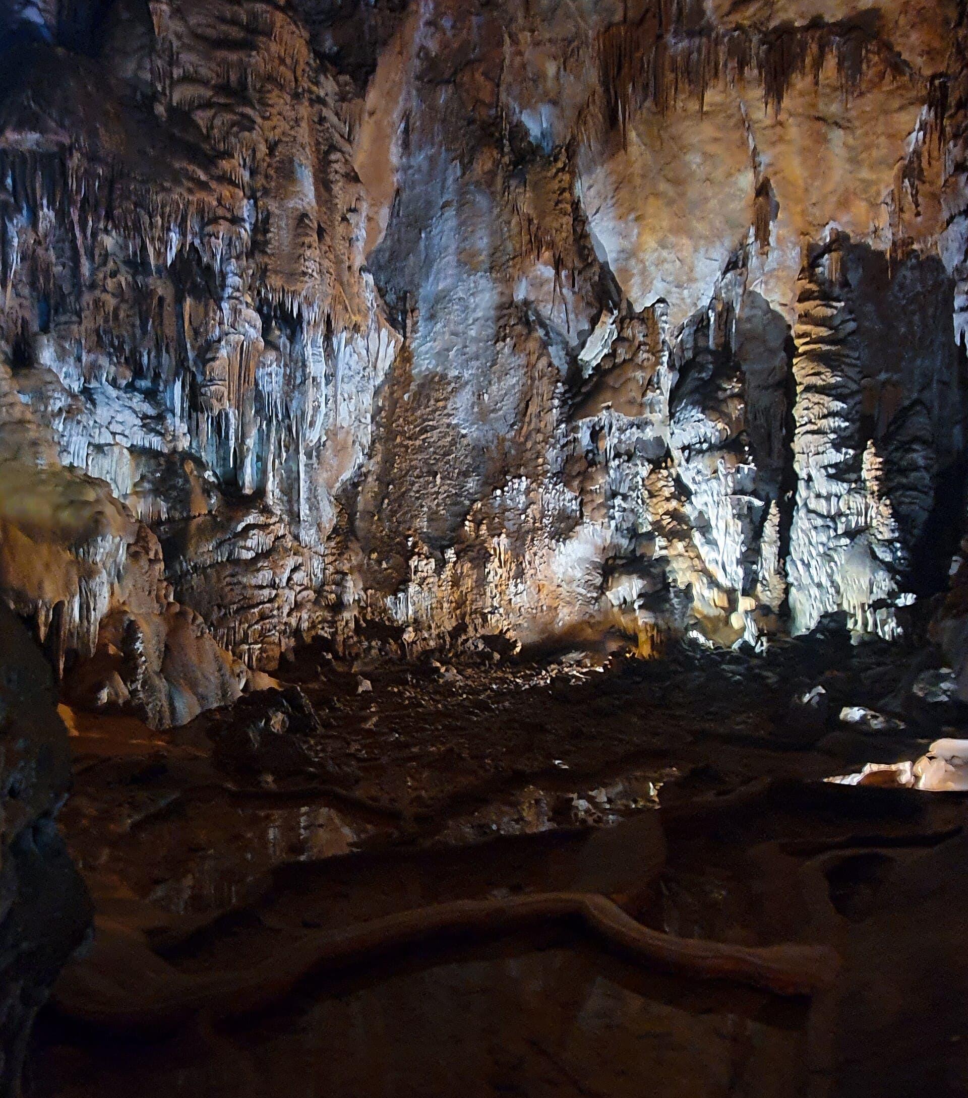
Mala Paklenica dominates the mountain side of Seline and is one of the most important natural features immediately beside the village. For an organised underground visit, the key attraction is Manita peć inside Paklenica National Park. The cave has welcomed visitors since 1937, lies at about 570 metres above sea level, and takes roughly an hour and a half to reach on foot from the Velika Paklenica entrance area. Guided visits last around 30 minutes and the temperature is close to 9°C. Manita peć is not in Seline’s village centre, so it should be planned as a hiking excursion into the park rather than as a quick detour from the beach.


Crkva rođenja Blažene Djevice Marije u Novigradu
Landmark · Novigrad
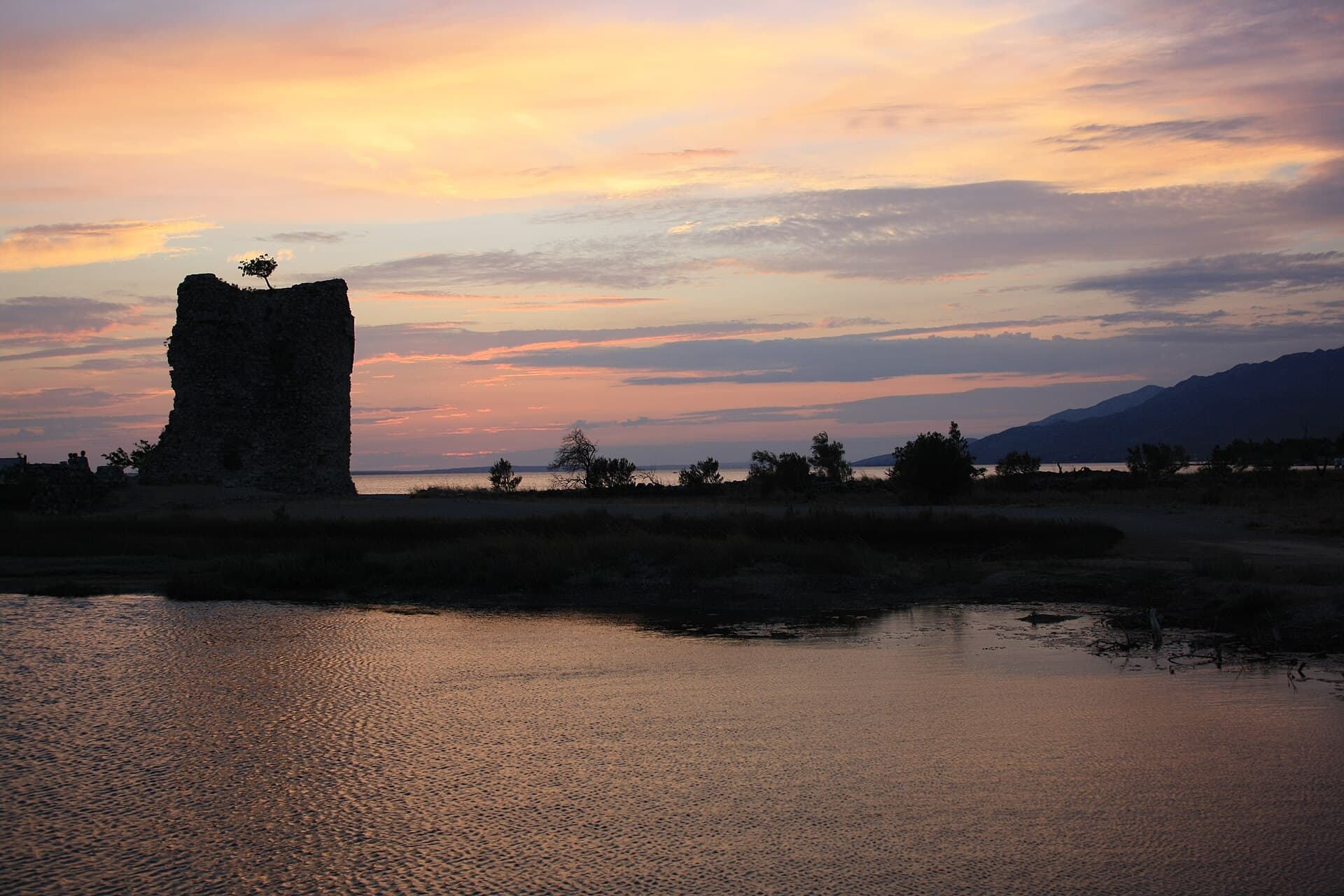
The Parish Church of the Nativity of the Blessed Virgin Mary in Novigrad is a Neo-style stone church on a Latin-cross plan, noted for its transferred altar and votive statue of Our Lady of Sorrows.
12 km from Seline
Beaches
The official description of Seline places the village between Velebit and a broad pebble beach, making that shoreline the settlement’s principal bathing area. Unlike destinations built around a series of separately named coves, Seline’s appeal comes from the immediate connection between the inhabited plain and the open coast beneath the mountains. After swimming, visitors can continue on foot toward Starigrad because the two settlements are linked by promenades and walking-cycling paths. That makes it particularly easy to combine a beach afternoon with an evening walk without using a car. Behind the shore, the Velebit karst and the approach toward Mala Paklenica remain a constant part of the landscape.
Bathing water quality nearby
- Mulo Parića (Rt Pisak) · 382 mexcellent
- Hotel Alan · 2.7 kmexcellent
- Mjesna obala · 2.7 kmnot classified
Source: European Environment Agency (EEA); data from Croatian authorities. · bathing water profile
Things to do
The easiest day in Seline starts on the pebble shore, then continues along the promenade toward Starigrad or on paths through the Velebit foothill hamlets. For a more substantial outing, head into Paklenica National Park toward Manita peć. Reaching the cave takes roughly an hour and a half on foot from the Velika Paklenica entrance, while the guided underground visit lasts about 30 minutes. The cave temperature is around 9°C, so a light layer is useful even in summer. On 2 July 2026 the park announced a temporary closure for 3 July because of technical issues, making the park’s latest visitor notices worth checking before setting out.
Food and drink
Seline’s dining choices stretch from roadside restaurants to drinks close to the beach. Restaurant Kiko stands at 23 Ante Starčevića Street, while Pizzeria Marko at 161 Jadranska cesta and Podgorje on the same main road are convenient after a day in Paklenica. Restaurant Ivan is at 24 Dr. Franje Tuđmana Street, and Buffet Sidro is tucked into Put Bunarića. For a casual meal, the official local directory also lists Pizza & Burger Bar No. 92 at 72 Dr. Franje Tuđmana Street. Beach Bar Maestral on Put za Pisak is the most natural choice for combining refreshments with a swim along Seline’s Pisak shoreline.
Tours and activities
AdAd · partner offers: Viator, GetYourGuideThe partner handles booking, payment and support. StayBravo may earn a commission on bookings made through these links.How we choose offersWe choose offers based on the page you are viewing: the partner destination for this place or the nearest one (with its distance), and on a sight page only offers that mention it. We show offers rated at least 4.3 with at least 10 reviews, without multi-day tours or pure transfers, ordered by rating adjusted for the number of reviews and then by the partner’s order. We do not use data about you, and the commission does not affect the order.GetYourGuide offers are selected and ordered by GetYourGuide based on the name of the nearest larger town or national park; we do not influence their selection and do not use data about you.Viator
Nearest destination: Zadar (27 km)
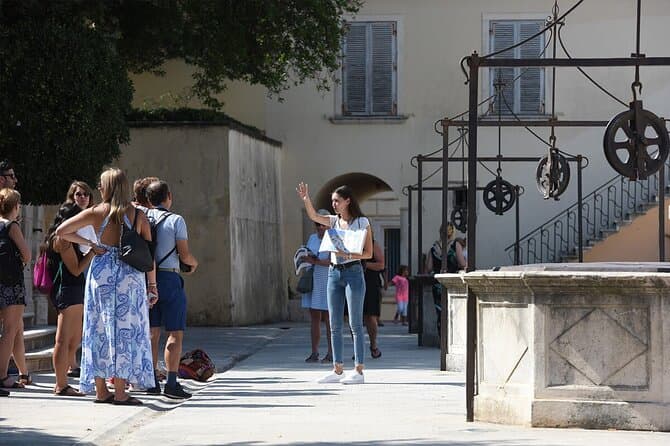
Zadar Highlights: Old Town, Sea Organ & Local Tastings (opens in a new tab)
A 2-hour small-group walk through Zadar's Old Town covering the city's top landmarks, the world-unique Sea Organ, and a tasting of local maraschino liqueur and cheese with a licensed local guide.
Rated 5 out of 5 · 478 reviews· 2 h
Free cancellation
from €20
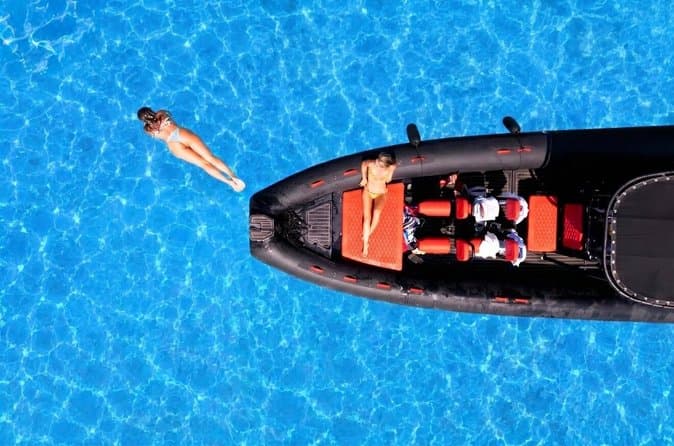
Zadar: Luxury Island Boat Tour, Snorkeling & Unlimited Wine (opens in a new tab)
Embark on an unforgettable adventure and explore the wonderful islands that adorn our Adriatic Sea. You have two types of tour, 4 hour with 3 stops and 3 hour with 2 stops. Explore the crystal clear…
Rated 5 out of 5 · 1,393 reviews· 4 h
Free cancellation
from €47

From Zadar Plitvice Lakes Guided Day Tour with Tickets (opens in a new tab)
Discover the UNESCO-listed Plitvice Lakes with a passionate local guide and enjoy one of the easiest ways to visit Croatia’s most iconic national park from Zadar. Travel through the scenic Croatian…
Rated 4.9 out of 5 · 1,689 reviews· 10 h
Free cancellation
from €45

Zadar: Romantic Luxury Sunset Boat Tour with Aperol Spritz (opens in a new tab)
We will start our tour from the oldest harbor in Zadar, Foša. After that we will cruise by the Zadar seafront and famous Sea Organs where thousands of people come every night to see world famous…
Rated 5 out of 5 · 330 reviews· 1.3 h
Free cancellation
from €25
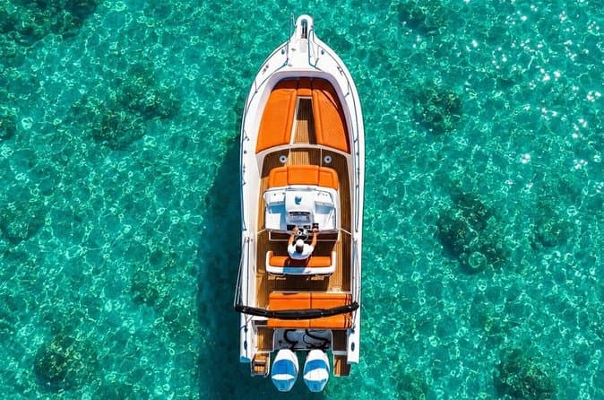
Zadar: Half Day Island Hopping Tour & Old Town Panoramic Cruise (opens in a new tab)
Step off the beaten path and discover the authentic soul of Dalmatia. On the islands, time moves slower and local traditions are still alive. Swim, snorkel, sunbathe, stroll through charming…
Rated 4.9 out of 5 · 418 reviews· 4 h
Free cancellation
from €19
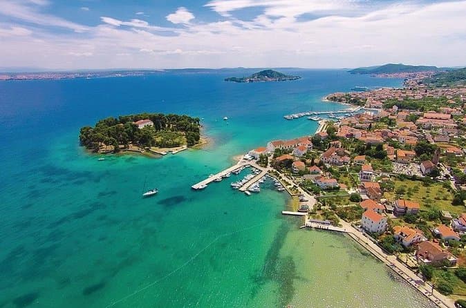
Private Sailing Tours in Zadar Archipelago (opens in a new tab)
We are a family business with a vision of presenting the beautiful nature and history of Zadar and Island Ugljan, Croatia. Sail away with us and absorb the sea breezes and panoramic views over Zadar…
Rated 5 out of 5 · 135 reviews· 4 h
Free cancellation
from €450
GetYourGuide · Nin
We show GetYourGuide offers once you allow their cookies.
Practical information
Practical information
The Starigrad Tourist Board office is at Trg Tome Marasovića 1 in Starigrad and publishes visitor information for Seline through the Paklenica Riviera website. Mountain excursions require a separate check of Paklenica National Park’s official notices. A 2026 example shows why: on 2 July the park announced that Manita peć would be temporarily closed on 3 July because of technical difficulties. The cave itself stays around 9°C, so visitors should carry an extra layer even when the beach in Seline is hot. Within the coastal area, Seline and Starigrad are linked by promenades and walking-cycling paths, making short local movements possible without relying on a car.
Getting there and around
Seline sits on the Paklenica Riviera between Zadar and the southern Velebit. Arriva gives the Zadar–Paklenica journey as roughly 46 kilometres and about one hour, with daily year-round services toward the Paklenica area. For the final leg to a specific property in Seline, travellers should check the stop used by their chosen departure. Locally, Seline and Starigrad are linked by promenades and walking-cycling paths through foothill hamlets, so short trips between the neighbouring settlements do not require a car. Public transport does not replace the hiking section for Manita peć: from the Velika Paklenica entrance area, the cave still requires roughly an hour and a half on foot.
Frequently asked questions
What is the beach in Seline like?
The tourist board describes Seline as a village beside a pebble beach, directly below Velebit and the Mala Paklenica canyon.
How long is the walk to Manita peć?
The walk from the Velika Paklenica entrance area to Manita peć takes about 1.5 hours, and the guided cave visit lasts roughly 30 minutes.
Is Manita peć cold in summer?
Yes. The cave temperature is around 9°C, so a light extra layer is useful even in midsummer.
Can you walk from Seline to Starigrad?
Yes. The official Paklenica Riviera site lists promenades and walking-cycling paths connecting Seline with Starigrad.
How do you get from Zadar toward Paklenica?
Arriva lists a year-round Zadar–Paklenica bus connection covering about 46 kilometres in roughly one hour.
Nearby
Seline
Open in OpenStreetMap(opens in a new tab)straight-line distance
Related guides
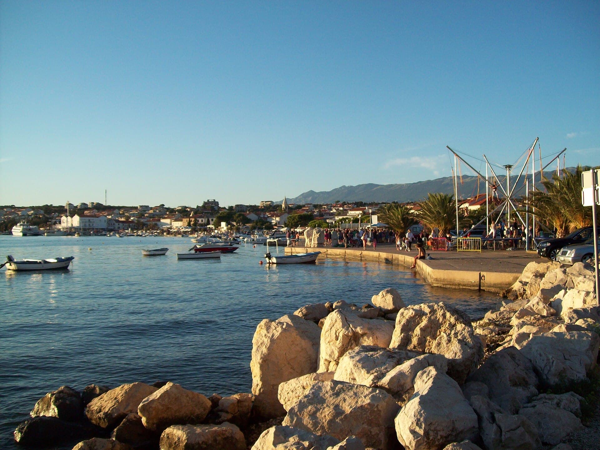
Novalja
Novalja curves around a bay on Pag’s western shore, with the waterfront, Trg Bazilike and streets around Mala crikva forming the centre. Landing places and restaurants line the water, while…
Read the guide
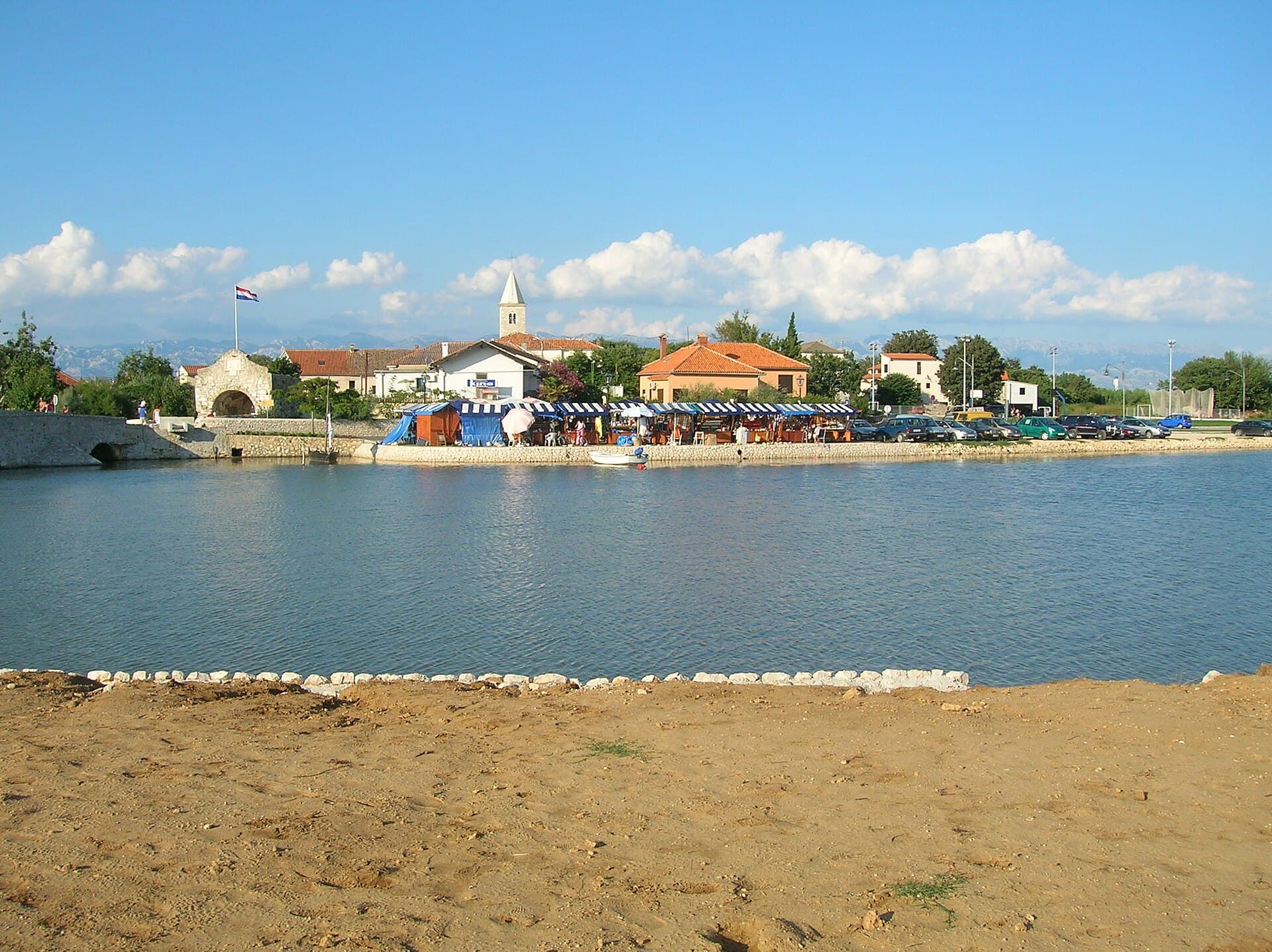
Nin
Nin’s historic centre occupies a low islet within a lagoon, connected to the mainland by bridges. Crossing into the centre creates a different first impression from arriving in nearby…
Read the guide
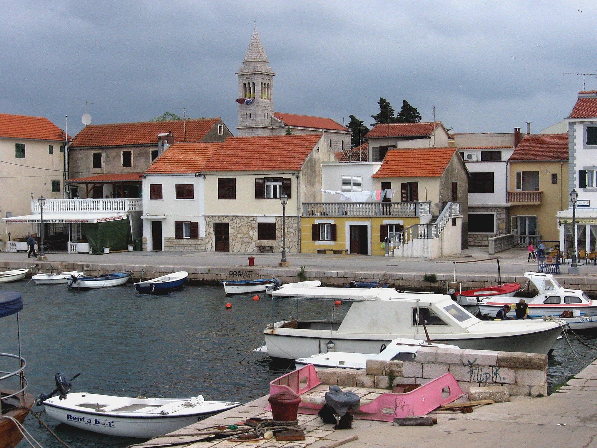
Pakoštane
Pakoštane occupies a narrow strip between the Adriatic and Lake Vrana, allowing visitors to move from a Dalmatian waterfront to the reeds of an ornithological reserve within minutes. The…
Read the guide
Pag
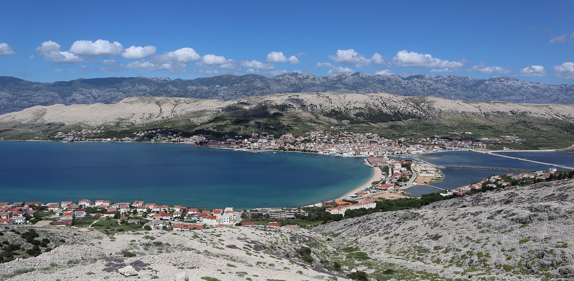
Pag is a planned stone town whose orderly street grid converges on Petar Krešimir IV Square, the Collegiate Church of the Assumption and the Rector’s Palace. The settlement moved to its…
Read the guide
Know Seline? Correct us
Tell us in your own words what is not accurate. We check right away.Do not enter personal data. Corrections are checked by the StayBravo AI assistant; changes to the description are approved by an editor. Use the form instead
Do you know Seline?
Help the guests who come after you.
Help us complete
Nothing is published without an editor’s review.Report illegal content
Photo credits: Seline — VitVit (CC BY-SA 4.0) · Vinjerac, Večka kula — Sopina Ana (CC BY-SA 4.0) · Starigrad — Joadl (CC BY-SA 3.0) · Slivnica, Radovin — Z interactive (Public domain) · Rovanjska — LBM1948 (CC BY-SA 4.0) · Maslenica — Ex13 (CC BY-SA 3.0) · Manita peć — Ivan Vid (CC BY-SA 4.0) · Novigrad Castle — Tiberio at Hungarian Wikipedia (CC BY-SA 3.0) · Crkva rođenja Blažene Djevice Marije u Novigradu — Silverije (CC BY-SA 4.0) · Villa Slatki — Saša Slatki (courtesy of the property owner) · Apartmani Rustica — Zdenko Dusevic (courtesy of the property owner) · Novalja — JoeTimBlackMax (CC BY-SA 3.0) · Nin — Amphisbène (CC BY 2.5) · Pakoštane — Roman Klementschitz, Wien (CC BY-SA 3.0) · Pag — Palauenc05 (CC BY-SA 4.0)