Ražanac
About this place
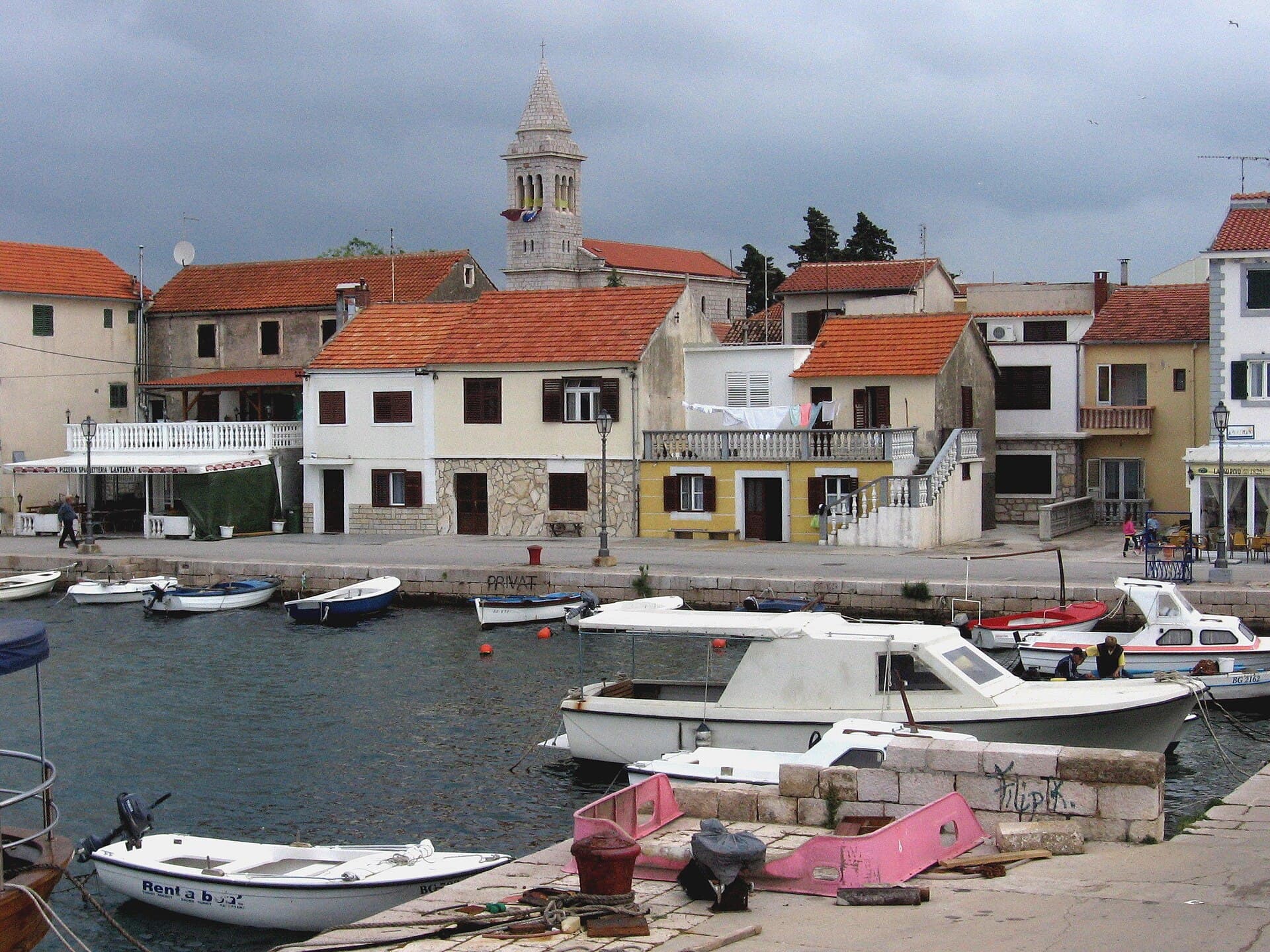
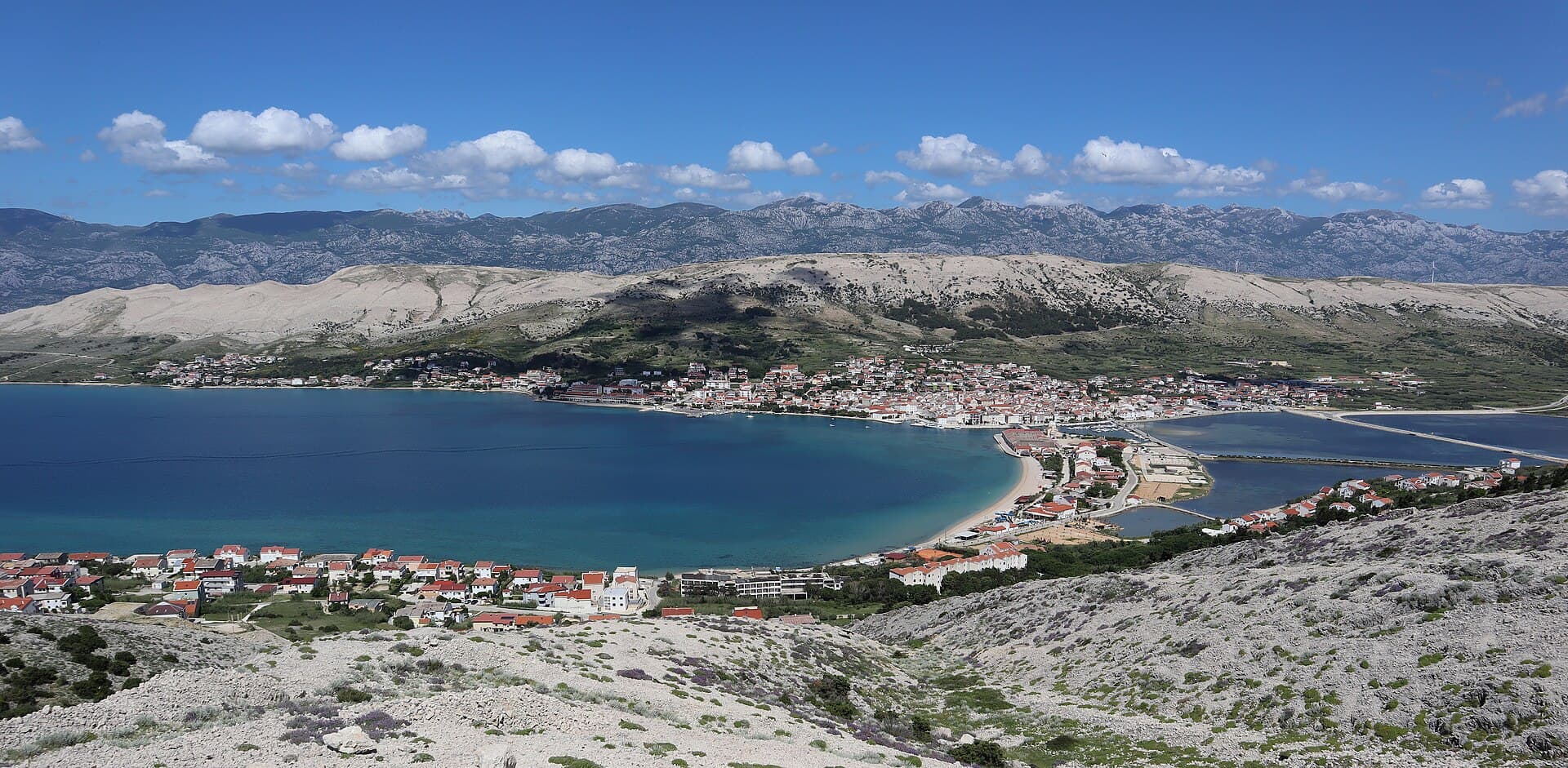
Ražanac lies on the Velebit Channel, about 22 kilometres northeast of Zadar. The settlement is associated with farming, viticulture, fishing and tourism, while the coastal area includes the remains of Kaštelina, built in 1507, and the parish church of Our Lady of the Rosary. The local coast is varied: the tourist board lists Smoljenica, Vlaški kraj, Pisak, Pježavac, Vranjak, Puntica and Punta. Punta Bay stands out for its pebbly shore and sandy seabed, and is about one kilometre west of the village. Ražanac is a good choice for a quieter stay on the Velebit Channel, combining swimming with short visits to local historic sites.
Ražanac is a compact settlement on the Velebit Channel, defined by open views of southern Velebit and the powerful bora wind associated with this stretch of sea. Stone houses, the parish church of Our Lady of the Rosary and the remains of the Kaštelina defences anchor its centre, while bathing spots extend along both sides of the village. Finds from the Šibenik and Gajetovica sites place human activity here far earlier than the early modern fortifications. Ražanac suits travellers who want daily swims combined with short drives towards Pag, Nin and the Velebit hinterland without staying in busier Zadar.
Stays
No stays listed here yet
Things to see
Ražanac can be explored through a combination of coast and a few historic landmarks. On the Velebit Channel are the remains of Kaštelina fortress, built in 1507, and the parish church of Our Lady of the Rosary. For swimming, the tourist board lists Smoljenica, Vlaški kraj, Pisak, Pježavac, Vranjak, Puntica and Punta. Punta Bay is distinctive because its shore is pebbly while the seabed is sandy; it lies about one kilometre west of the village. A visit can therefore easily combine the beach with a brief introduction to Ražanac.
Beaches
Ražanac’s shoreline is predominantly rocky or pebbly, with the tourist board listing Smoljenica, Vlaški kraj, Pisak, Pježavac, Vranjak, Puntica and Punta as separate bathing areas. About one kilometre west of the village, Punta stands out for its pebbled shore and sandy seabed. Every listed beach can be reached by car, making it easy to switch locations during the day. Vlaški kraj has designated provision for windsurf boards, kayaks, pedal boats and SUP boards, along with space for a seasonal refreshment outlet. Travellers seeking exceptionally shallow sandy water should head to Ljubač rather than expect that terrain along most beaches in Ražanac itself.
Bathing water quality nearby
- Stražica · 98 mnot classified · season 2025
Source: European Environment Agency (EEA); data from Croatian authorities. · bathing water profile
Things to do
Start the morning at the parish church of Our Lady of the Rosary and the remains of Kaštelina, built as part of the settlement’s defence, before descending to the waterfront. A sequence of bathing places makes it possible to compare Smoljenica, Vlaški kraj, Pisak, Pježavac, Vranjak and Puntica on foot. For a longer swim, drive roughly one kilometre west to Punta, the only listed Ražanac cove with pebbles ashore and sand under the water. The municipality’s recreation map also marks a hiking route and sports facilities, allowing the day to finish on higher ground with a broader view across the Velebit Channel.
Practical information
Practical information
The Ražanac Municipality Tourist Board office is in the village at postal code 23248; its published contacts are +385 23 651 205 and [email protected]. Listed office hours are 8:00–16:00 on weekdays and 8:00–12:00 on Saturdays. The local recreation map is useful for locating bathing areas, playgrounds, food outlets and the marked hiking route around the settlement. Because the village faces the exposed Velebit Channel, visitors should check the bora forecast before swimming away from the central shore, especially when planning to use a SUP board or another small craft from Vlaški kraj.
Parking
Ražanac has officially designated public car parks and a seasonal charging system, although the municipal notice giving explicit operating hours applies to 1 July–15 September 2022 and cannot establish 2026 prices. Visitors should therefore read the current tariff and charging period from the meter or roadside sign. Access is relatively straightforward because the tourist board states that every listed Ražanac beach can be reached by car. At Vlaški kraj, bathers share the waterfront area with seasonal watersports equipment and a refreshment zone, making it particularly important to leave vehicles only within marked bays rather than along the beach approach.
Getting there and around
Ražanac is connected by road with Zadar and lies on the route continuing towards Pag. For 2026, FlixBus shows a Ražanac stop on the D106 and a link with Zadar bus station; it lists a road distance of 26 kilometres and a fastest journey of 27 minutes. Regional services also operate through the Zadar terminal managed by Liburnija, so passengers should confirm both the operator and the exact stop shown on their ticket. A car remains more practical for Punta, roughly one kilometre west of the centre, and for exploring Ljubač, Rtina and the municipality’s dispersed coastline.
Frequently asked questions
Which Ražanac cove has a sandy seabed?
Punta Bay has a pebbly shore but a sandy seabed.
How far is Punta from central Ražanac?
Punta is about one kilometre west of the village.
Which churches does the Ražanac tourist board list?
In Ražanac, the parish church of Our Lady of the Rosary and the Church of Our Lady of Health are noted.
Which sea-based competition is held in Ražanac?
In 2026, Ražanac hosted a 10-kilometre European Cup race in open-water swimming.
Where can visitors hire SUP boards and pedal boats in Ražanac?
Nearby

Ljubač, Ražanac
Village · Dalmatia – Zadar

Related guides
Novalja
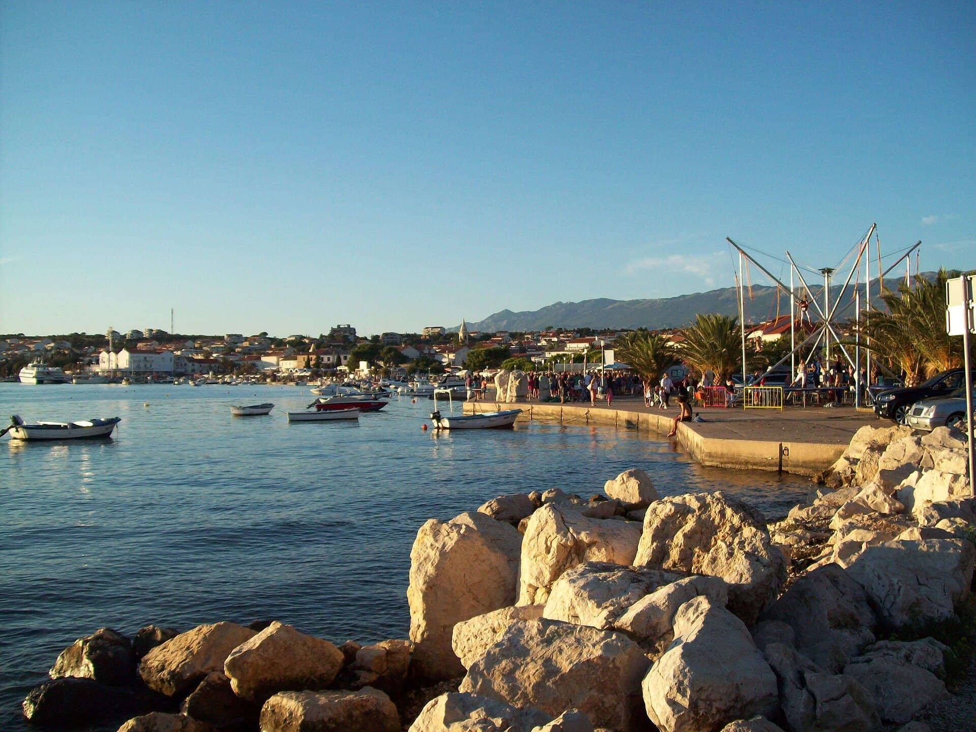
Novalja curves around a bay on Pag’s western shore, with the waterfront, Trg Bazilike and streets around Mala crikva forming the centre. Landing places and restaurants line the water, while…
Read the guide
Help improve this page
Spot something missing or wrong? Suggest a correction, add your photo or report a problem. Editors review every suggestion before it is published.
Photo credits
- Ražanac — Pudelek (Marcin Szala) · CC BY-SA 3.0 · Wikimedia Commons
- Ljubač, Ražanac — F.Krikava, Znojmo · CC BY-SA 3.0 · Wikimedia Commons
- Radovin — Z interactive · Public domain · Wikimedia Commons
- Rtina — ANDREJ NEUHERZ · CC BY-SA 3.0 · Wikimedia Commons