
Ist
About this place
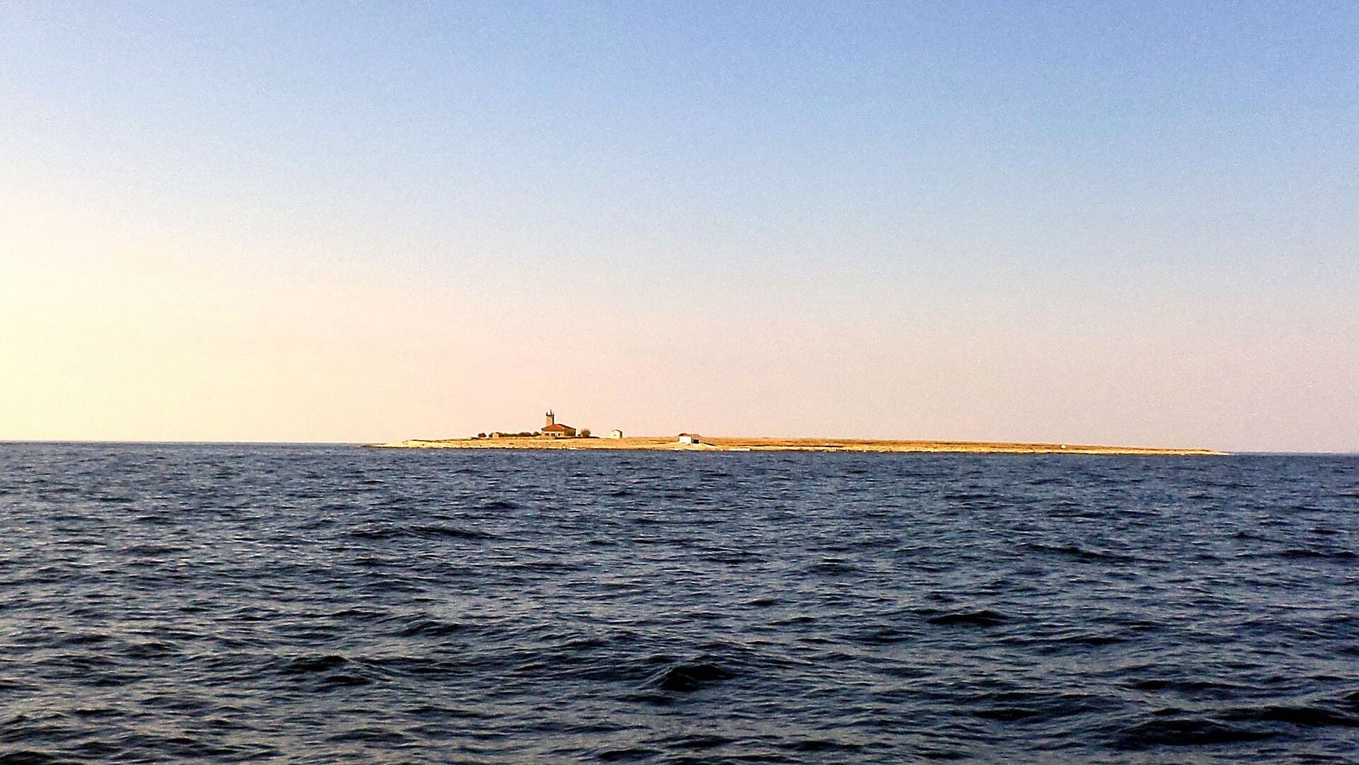
Ist is the sole village on its namesake island, roughly 20 nautical miles from Zadar, occupying a narrow waist between Široka Bay and Kosirača Bay. The island’s butterfly-like outline means visitors can walk from the southern harbour and waterfront houses to the north-western shore within minutes. Olive groves and vineyards fill the interior, while the indented coast draws sailors, divers and anglers; Mljake has a designated anchorage, and boats also shelter in Široka. For the defining panorama, climb Straža hill to the Chapel of Our Lady of Health, built around 1800, and look across Ist and its neighbouring islands. Daily life gathers around the harbour, two shops, cafés and a handful of places to eat, with walking replacing the traffic associated with larger Adriatic resorts. Ist is consequently best suited to travellers who value swims in small bays, short paths through Mediterranean vegetation and the unhurried routines of a tiny island community in the Zadar archipelago.
Ist’s character comes from living between two harbours: south-facing Široka and north-western Kosirača. Its lanes and houses occupy the narrow waist between these deep bays, making a coast-to-coast walk part of everyday movement through the village. The island’s story reaches well beyond its modern sailing culture; remains of a hillfort at Gračina and Liburnian pottery found on Straža point to much earlier settlement. Written records name the island as Ost in 1311, while the present village is anchored by the nineteenth-century parish church of St Nicholas, built where an older church once stood. Zadar’s heritage inventory also singles out the chapel of Our Lady of the Snows and the archaeological sites of Gračina, Jabučina and Vela Tramerka.
Things to see


Stays further afield
- Apartment
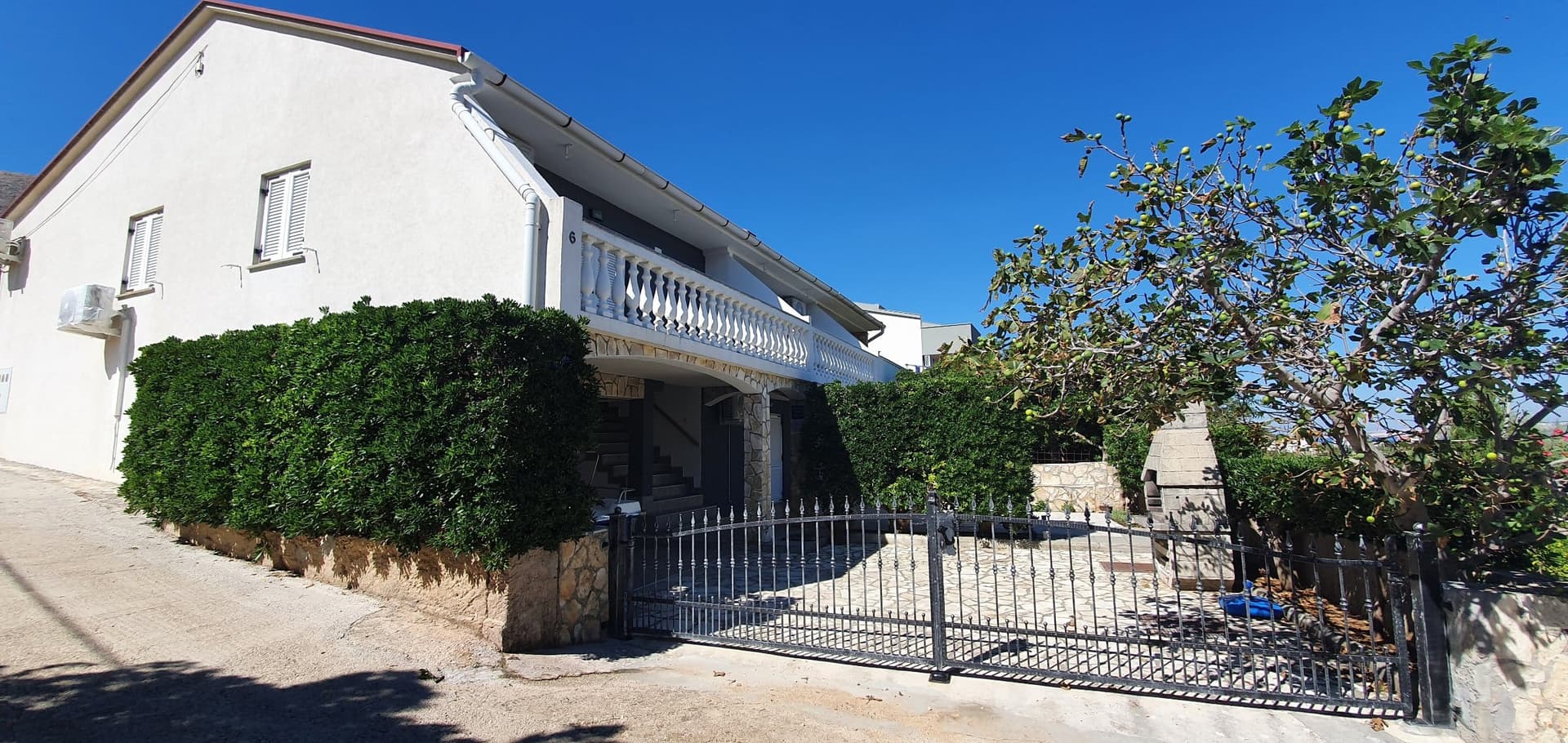 30 km from Ist
- Apartment
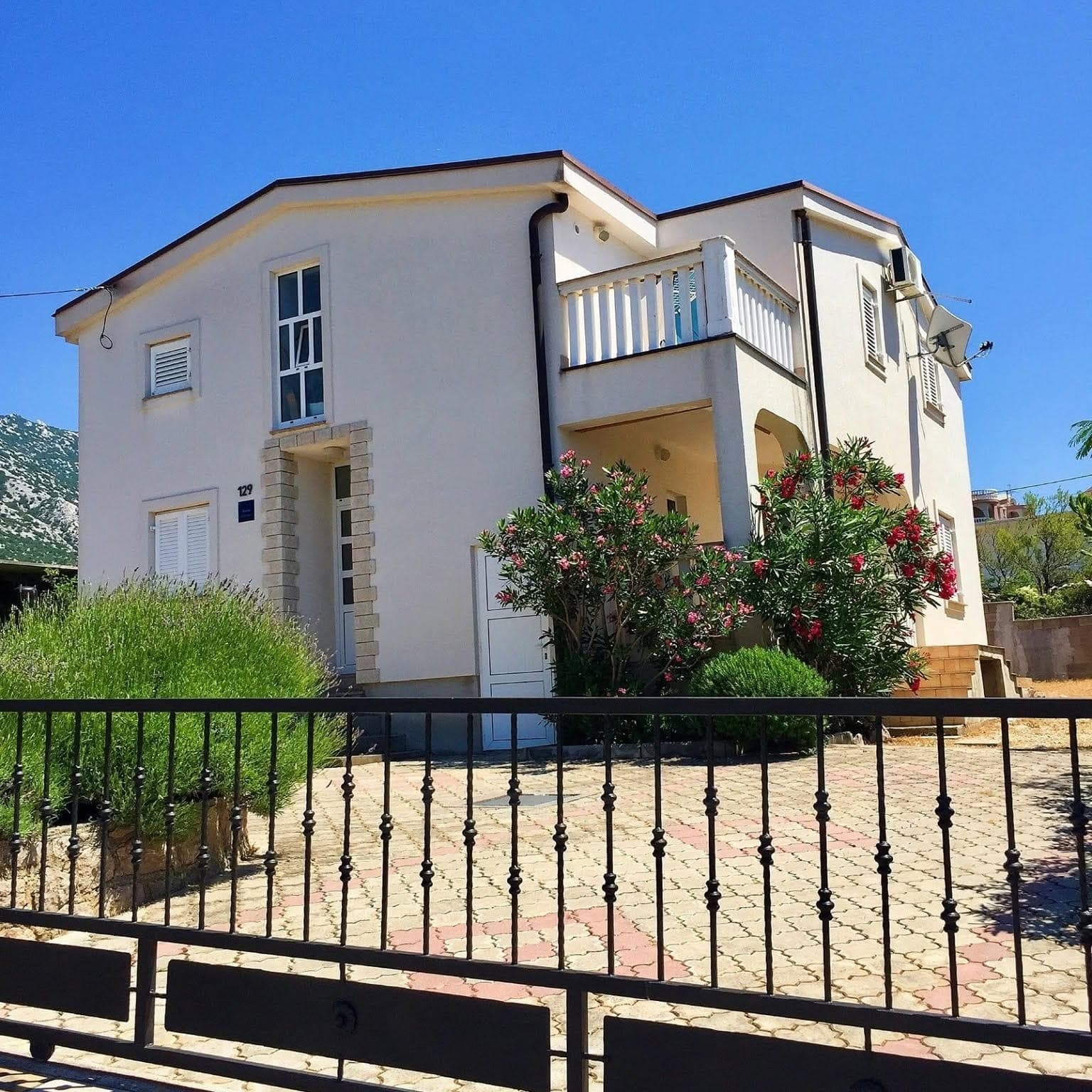 38 km from Ist
- Apartment
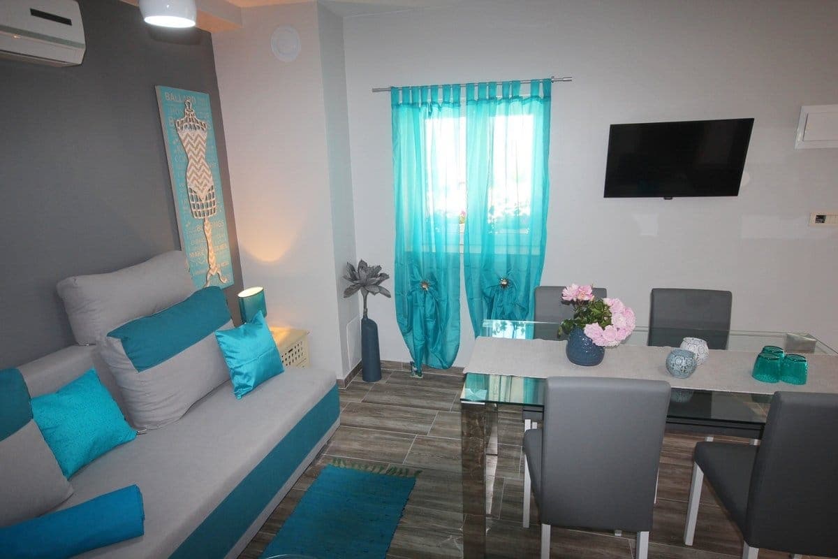 42 km from Ist
- Villa
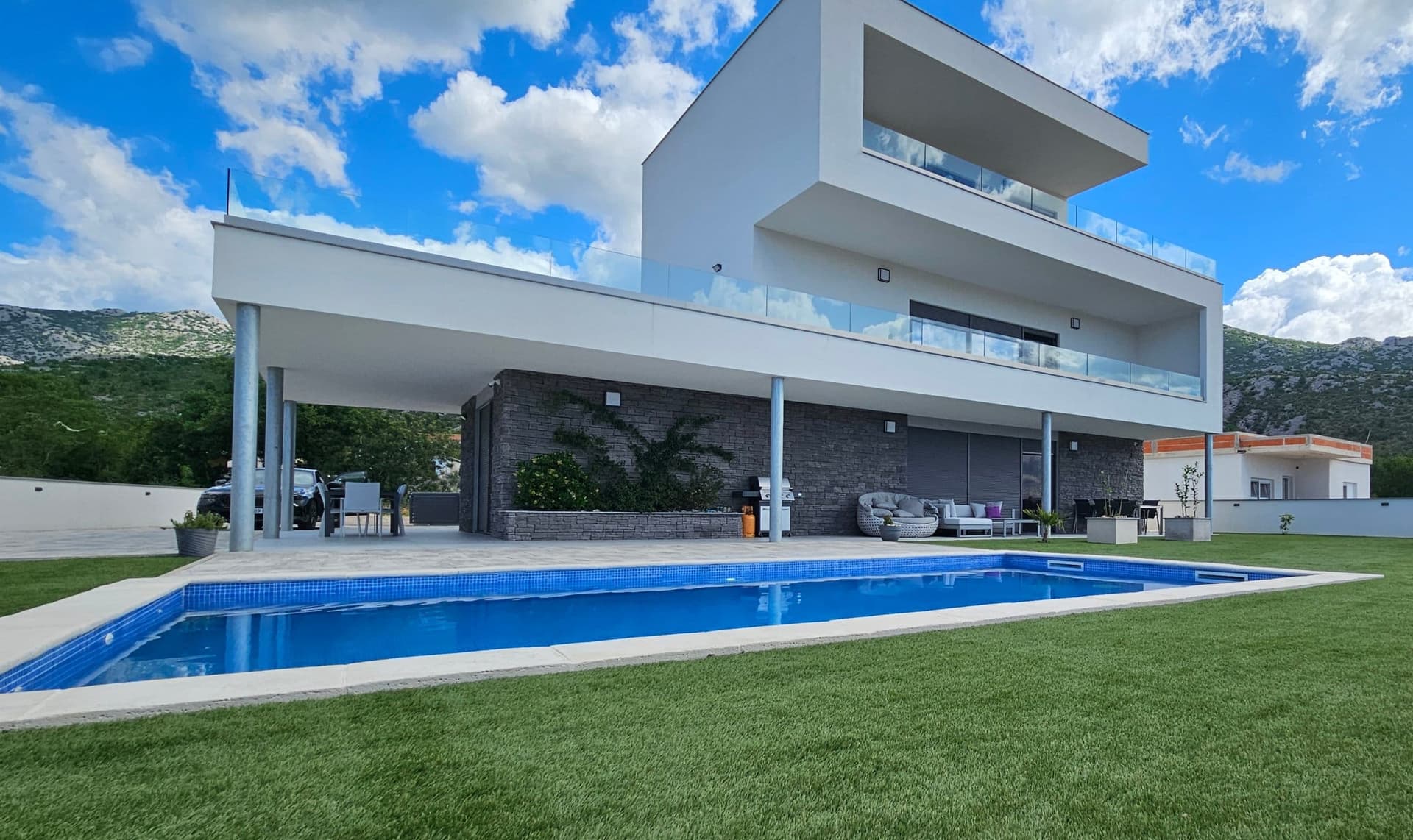 57 km from Ist
- Apartment
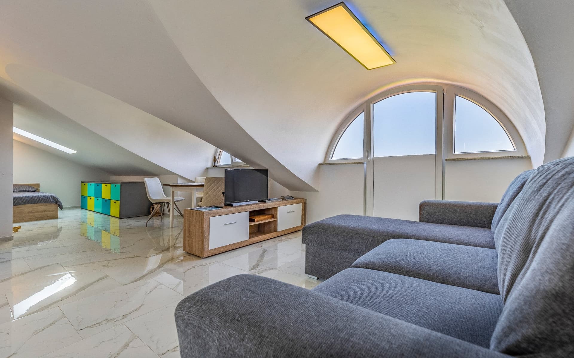 90 km from Ist
Be the first to list here
Guests looking for this place only see stays nearby for now. No commission, and enquiries come straight to you.
List your accommodation
Beaches
Ist’s principal swimming areas lie in Široka and Kosirača, facing opposite sides of the narrow strip occupied by the village. The county tourism plan describes their shores as a mixture of sand, rock and pebbles, making water shoes useful away from the softer entry points. Široka is the southern bay beside the village centre and passenger-boat landing, whereas north-west-facing Kosirača also serves as the ferry port. This two-bay layout lets swimmers choose a shore according to the wind and sea conditions without leaving Ist: the route between them runs on foot through the settlement. Reaching the island’s smaller coves requires a longer walk, and those spots do not necessarily offer the facilities found near the two harbours.
Bathing water quality nearby
- Mjesno Kupalište (Uvala Široka) · 210 mnot classified
Source: European Environment Agency (EEA); data from Croatian authorities. · bathing water profile
Things to do
Begin exploring Ist in Široka beside the parish church of St Nicholas, then walk through the village to Kosirača and experience both island harbours in a single circuit. For a longer outing, follow the T291 Mavrela or T292 Mljake trail, both listed among the island’s designated walking routes. A climb towards Straža adds Ist’s earliest history to the walk: Liburnian pottery was found on the hill, which is also home to the chapel of Our Lady of the Snows. Back in the village, finish with a swim in the bay opposite your starting point; Široka and Kosirača are close enough to make switching coasts an easy part of one day.
Tours and activities
AdAd · partner offers: Viator, GetYourGuideThe partner handles booking, payment and support. StayBravo may earn a commission on bookings made through these links.How we choose offersWe choose offers based on the page you are viewing: the partner destination for this place or the nearest one (with its distance), and on a sight page only offers that mention it. We show offers rated at least 4.3 with at least 10 reviews, without multi-day tours or pure transfers, ordered by rating adjusted for the number of reviews and then by the partner’s order. We do not use data about you, and the commission does not affect the order.GetYourGuide offers are selected and ordered by GetYourGuide based on the name of the nearest larger town or national park; we do not influence their selection and do not use data about you.GetYourGuide · Novalja
We show GetYourGuide offers once you allow their cookies.
Viator
Nearest destination: Zadar (41 km)
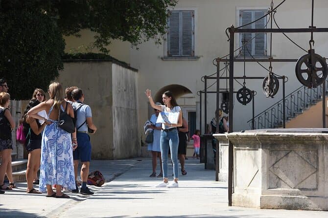
Zadar Highlights: Old Town, Sea Organ & Local Tastings (opens in a new tab)
A 2-hour small-group walk through Zadar's Old Town covering the city's top landmarks, the world-unique Sea Organ, and a tasting of local maraschino liqueur and cheese with a licensed local guide.
Rated 5 out of 5 · 478 reviews· 2 h
Free cancellation
from €20

Zadar: Luxury Island Boat Tour, Snorkeling & Unlimited Wine (opens in a new tab)
Embark on an unforgettable adventure and explore the wonderful islands that adorn our Adriatic Sea. You have two types of tour, 4 hour with 3 stops and 3 hour with 2 stops. Explore the crystal clear…
Rated 5 out of 5 · 1,393 reviews· 4 h
Free cancellation
from €47

From Zadar Plitvice Lakes Guided Day Tour with Tickets (opens in a new tab)
Discover the UNESCO-listed Plitvice Lakes with a passionate local guide and enjoy one of the easiest ways to visit Croatia’s most iconic national park from Zadar. Travel through the scenic Croatian…
Rated 4.9 out of 5 · 1,689 reviews· 10 h
Free cancellation
from €45

Zadar: Romantic Luxury Sunset Boat Tour with Aperol Spritz (opens in a new tab)
We will start our tour from the oldest harbor in Zadar, Foša. After that we will cruise by the Zadar seafront and famous Sea Organs where thousands of people come every night to see world famous…
Rated 5 out of 5 · 330 reviews· 1.3 h
Free cancellation
from €25

Zadar: Half Day Island Hopping Tour & Old Town Panoramic Cruise (opens in a new tab)
Step off the beaten path and discover the authentic soul of Dalmatia. On the islands, time moves slower and local traditions are still alive. Swim, snorkel, sunbathe, stroll through charming…
Rated 4.9 out of 5 · 418 reviews· 4 h
Free cancellation
from €19
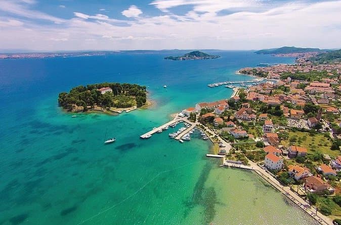
Private Sailing Tours in Zadar Archipelago (opens in a new tab)
We are a family business with a vision of presenting the beautiful nature and history of Zadar and Island Ugljan, Croatia. Sail away with us and absorb the sea breezes and panoramic views over Zadar…
Rated 5 out of 5 · 135 reviews· 4 h
Free cancellation
from €450
Practical information
Getting there and around
Ist has no road link to the mainland, so arrival is by passenger vessel or catamaran from Zadar through the surrounding archipelago. Jadrolinija’s 2026 timetable includes an Ist–Molat–Zadar connection, with frequencies and intermediate calls changing by season. The vessel calls at Kosirača on the island’s north-western side; from there, travellers walk across the narrow neck of land to the village centre and Široka harbour. A car is neither useful nor necessary on Ist, and luggage should be manageable for the walk between the pier and accommodation. Visiting sailors use Široka, Mljake and Kosirača, choosing among them according to the prevailing wind and the shelter required.
Frequently asked questions
Where does the ferry call on Ist?
Scheduled vessels call at Kosirača Bay, followed by a short walk across the island’s narrow waist to the village and Široka harbour.
What is Ist’s main viewpoint?
The principal climb leads to Straža and the Chapel of Our Lady of Health, built around 1800, with views across Ist and the surrounding archipelago.
Can Ist be explored without a car?
Yes; the village lies between Široka and Kosirača, and short walking routes connect the island’s principal points.
Nearby
Ist
Open in OpenStreetMap(opens in a new tab)Smaller places
straight-line distance
Related guides
Novalja
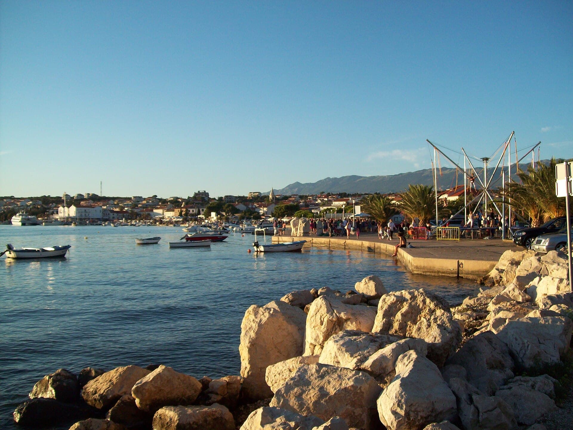
Novalja curves around a bay on Pag’s western shore, with the waterfront, Trg Bazilike and streets around Mala crikva forming the centre. Landing places and restaurants line the water, while…
Read the guide
Nin
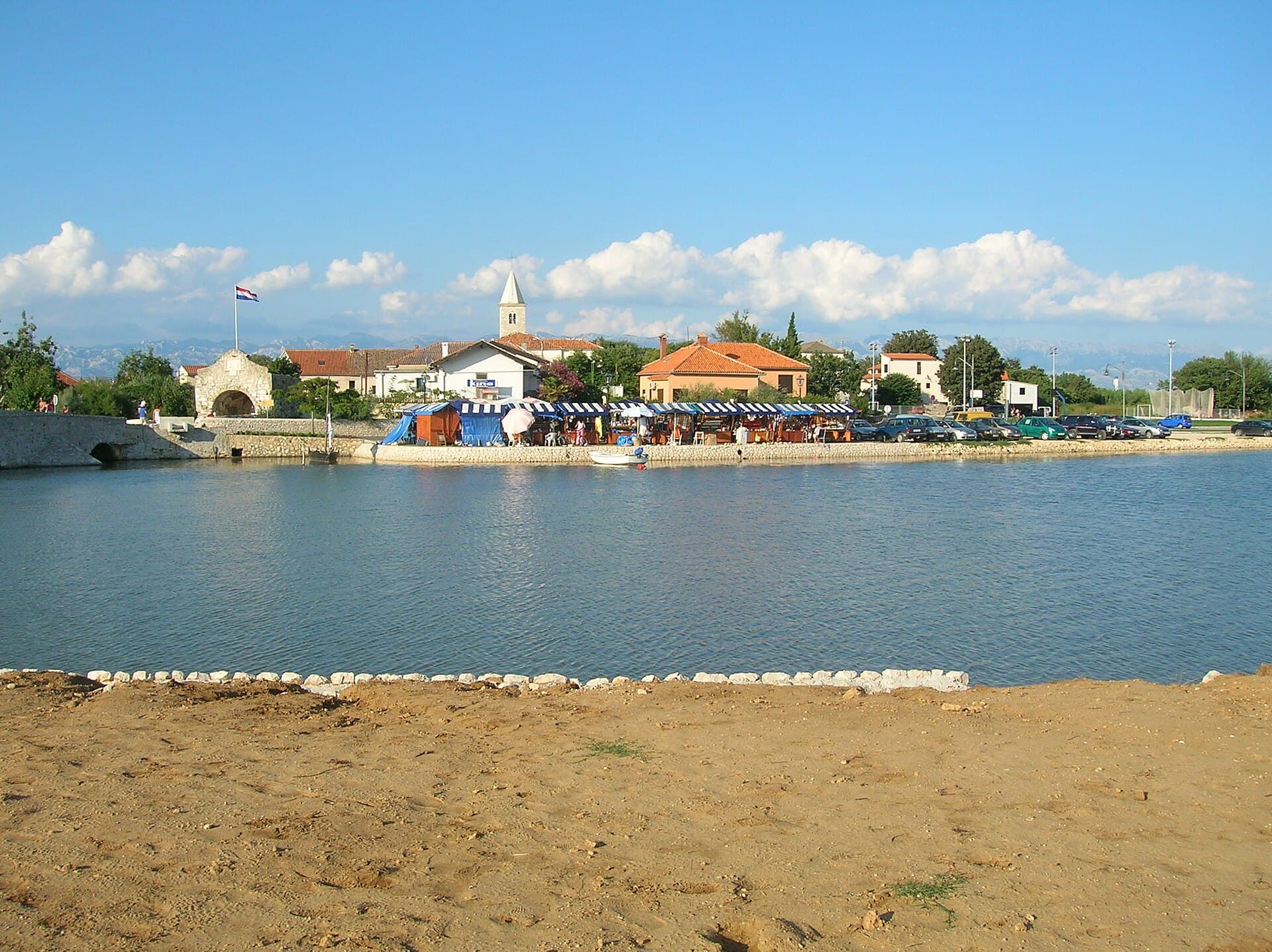
Nin’s historic centre occupies a low islet within a lagoon, connected to the mainland by bridges. Crossing into the centre creates a different first impression from arriving in nearby…
Read the guide
Pakoštane
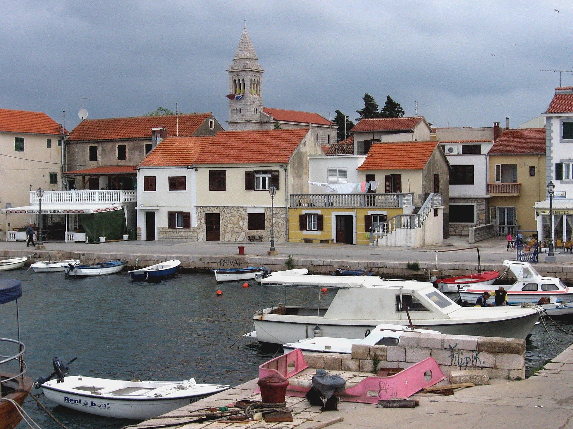
Pakoštane occupies a narrow strip between the Adriatic and Lake Vrana, allowing visitors to move from a Dalmatian waterfront to the reeds of an ornithological reserve within minutes. The…
Read the guide
Pag
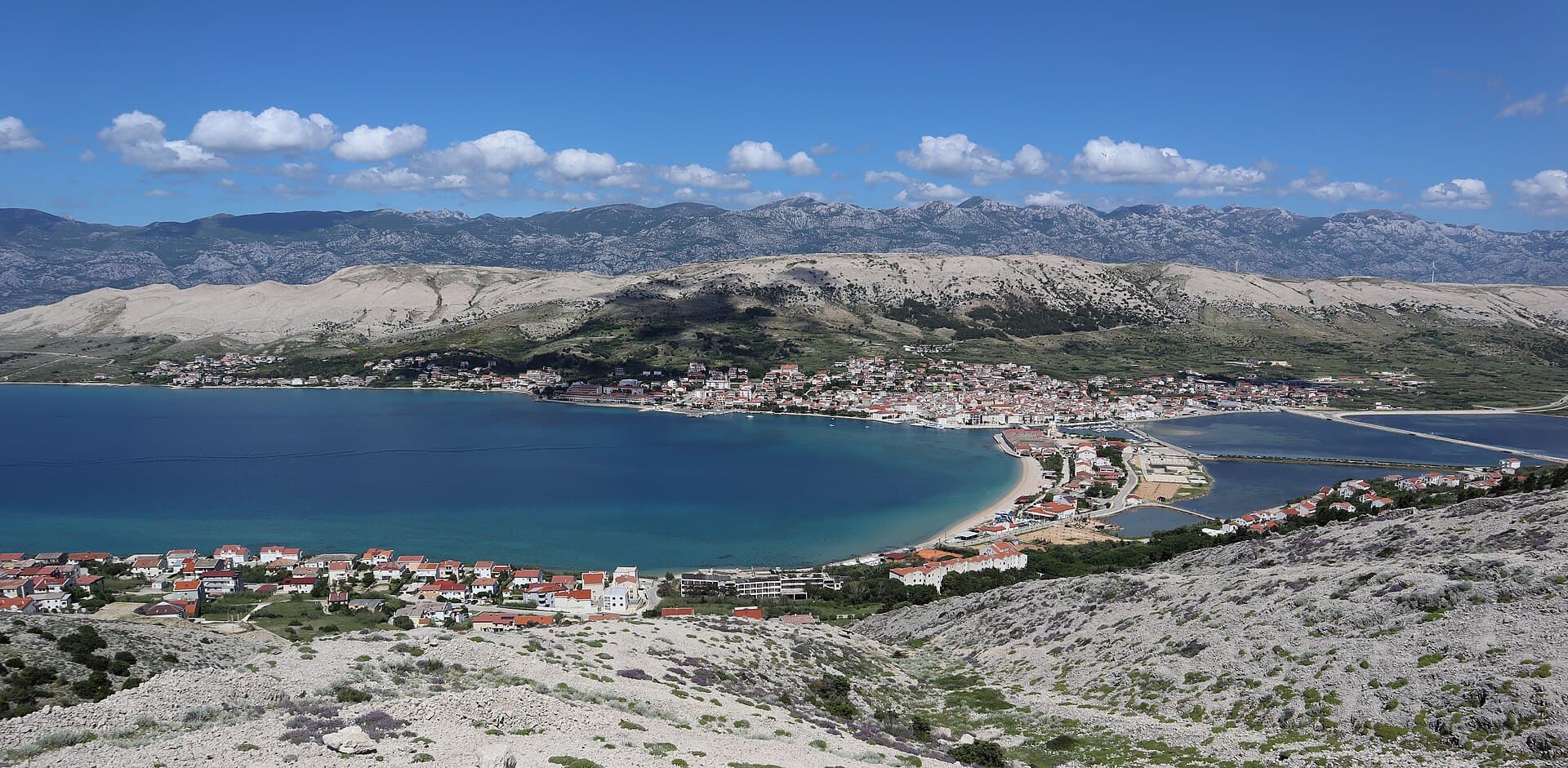
Pag is a planned stone town whose orderly street grid converges on Petar Krešimir IV Square, the Collegiate Church of the Assumption and the Rector’s Palace. The settlement moved to its…
Read the guide
Know Ist? Correct us
Tell us in your own words what is not accurate. We check right away.Do not enter personal data. Corrections are checked by the StayBravo AI assistant; changes to the description are approved by an editor. Use the form instead
Do you know Ist?
Help the guests who come after you.
Help us complete
Nothing is published without an editor’s review.Report illegal content
Photo credits: Ist — Giorgio Davanzo (CC BY-SA 3.0) · Molat — Veverica (CC BY-SA 4.0) · Olib — Nilsiboy (CC BY-SA 3.0) · Veli Rat Lighthouse — Dominik Matus (CC BY-SA 3.0) · Vir Lighthouse — Bavag at German Wikipedia (Public domain) · Grujica Lighthouse — Zoran Kurelić Rabko (CC BY-SA 3.0) · Dubrava Hanzine — Christian Pirkl (CC BY-SA 4.0) · Apartmani Bukal, Premium apartman Pina — Partner (courtesy of the property owner) · Apartman Mira — Marijan Ćaćan (courtesy of the property owner) · Apartmani Rustica — Zdenko Dusevic (courtesy of the property owner) · Villa Slatki — Saša Slatki (courtesy of the property owner) · Novalja — JoeTimBlackMax (CC BY-SA 3.0) · Nin — Amphisbène (CC BY 2.5) · Pakoštane — Roman Klementschitz, Wien (CC BY-SA 3.0) · Pag — Palauenc05 (CC BY-SA 4.0)