Kali
About this place
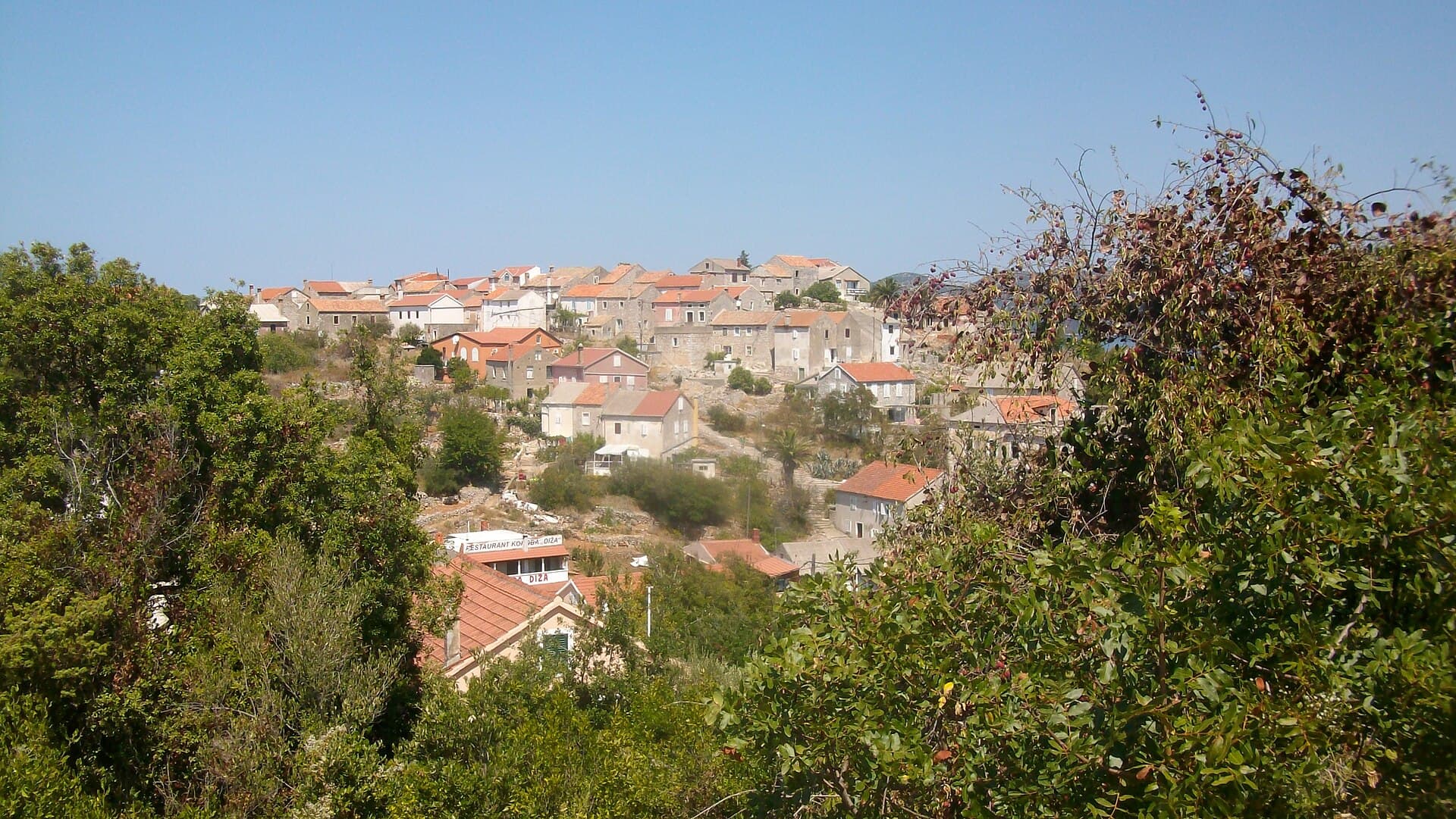
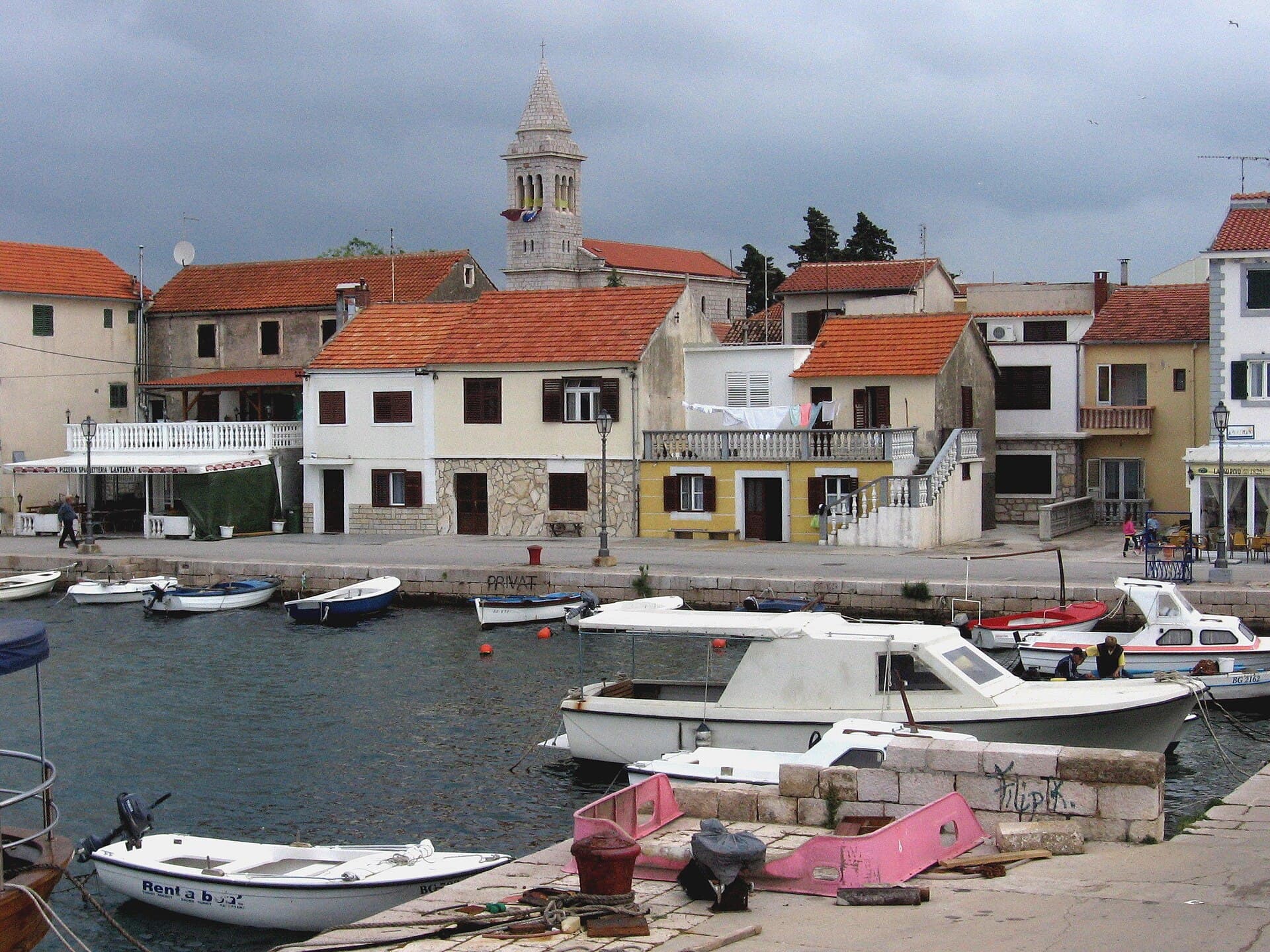
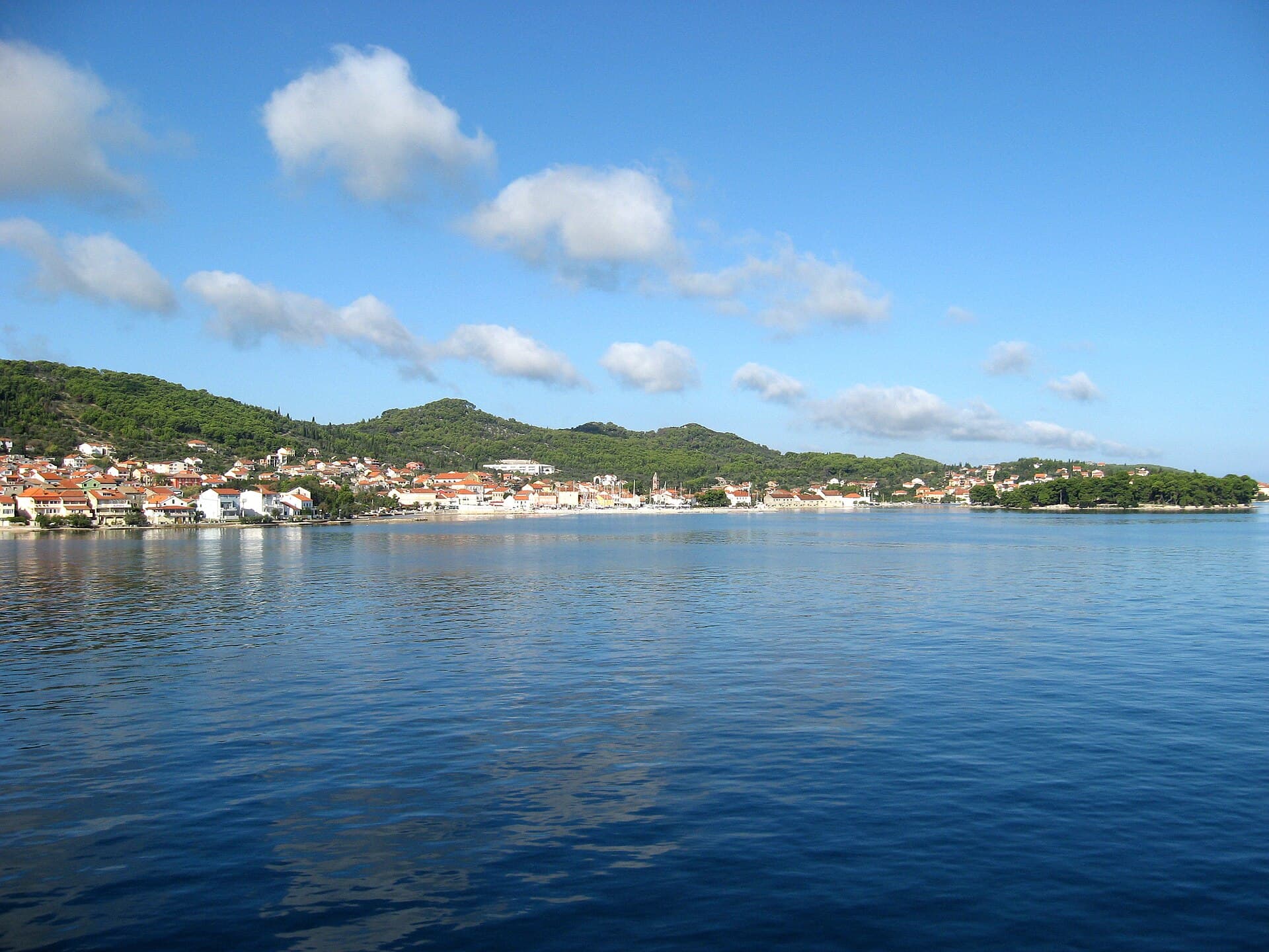
Kali, on Ugljan’s south-eastern side, grew around fishing rather than resort hotels. Its old stone core lies between the harbours of Mul and Batalaža, clustered near St Lawrence’s parish church, while newer neighbourhoods reach across the island towards Mala Lamjana. Written records mention Kali in 1299, although archaeological remains on Orjak hill show that people occupied the area much earlier. Fishing expanded markedly during the 19th century, when local crews began pursuing shoals of oily fish beyond the waters immediately surrounding Ugljan. That working maritime identity remains visible in the boats crowding the harbour, menus built around tuna and sardines, and the distinctive Kualjski dialect, an archaic form of Chakavian still spoken locally. Swimming spots are scattered along the village shore rather than concentrated in one resort zone: sheltered Batalaža is the best-known, Mul sits beside Petar Dundov Park, and Mala Lamjana combines a sandy seabed with a beach-volleyball court. Passenger boats link central Zadar with Preko in roughly 25 minutes; Kali is then a short road journey south along the island.
Kali has two distinct maritime faces. Mul and Batalaža open towards the Zadar Channel, while paths and roads cross the island’s interior to the deep inlets of Mala and Velika Lamjana. Between the northern harbours, a tightly packed stone quarter rises around St Lawrence’s Church, its narrow lanes descending towards working fishing berths. The local Kualjski dialect sets the village apart even from neighbouring island communities: words such as “muore” and “bluago” remain in use, while the Kalipedija online dictionary records thousands of local expressions. Olive groves, dry-stone walls and fishing equipment are therefore more than picturesque details; they preserve the two trades that shaped Kali’s landscape and everyday life.
Stays
No stays listed here yet
Things to see
St Lawrence’s parish church anchors Kali’s old centre, with stone lanes branching from it towards the harbours of Mul and Batalaža. Above the village, the modest chapel of St Pelegrin rewards a short uphill walk through Mediterranean vegetation. Orjak preserves a much older layer of local history: remains of an Iron Age hillfort survive on its summit, pushing Kali’s story far beyond its first written mention in 1299. The village’s heritage is not confined to buildings. Glagolitic traditions have survived in religious practice, while the highly distinctive Kualjski dialect continues to pass between generations and is now also documented in an online local dictionary.
Beaches
Batalaža is Kali’s best-known beach, combining a pebbly entrance with a paved sunbathing terrace; its small bay generally keeps the water calm. Mul has pebbles, a shower and changing cabin, with the playground in Petar Dundov Park immediately behind it. Brgačelj pairs a paved terrace with pebble access and an open view across the Zadar Channel towards Ošljak, Zadar and the Velebit range. Tratica is equipped with a lift that assists swimmers with disabilities in entering the sea. Mala Lamjana, roughly a thirty-minute walk from the village centre, stands out for its sandy seabed, beach-volleyball court and adjacent parking area holding about forty cars.
Bathing water quality nearby
- Uvala Batalaža · 310 mnot classified · season 2025
Source: European Environment Agency (EEA); data from Croatian authorities. · bathing water profile
Things to do
Begin at St Lawrence’s Church in the old quarter, then follow the stone lanes downhill to Mul harbour and continue along the waterfront towards Batalaža. After a swim, climb to the small chapel of St Pelegrin, where Kali’s position between the Zadar Channel and Ugljan’s southern shore becomes much clearer. For a longer walk, choose Orjak hill and its Iron Age hillfort remains, or cross the olive-grove and dry-stone landscape towards Mala Lamjana. Finish with locally landed fish near Batalaža. On 31 July and 1 August 2026, the same waterfront becomes the setting for Tunuara, complete with tuna dishes, rowing contests and a parade of fishing vessels.
Food and drink
Kali’s food culture follows its fishing economy: tuna, sardines, anchovies and other oily fish belong here more convincingly than a generic “Dalmatian” menu. Intrada tavern stands close to Mul beach, while the Batalaža waterfront has several options for fish and the casual Mavra beach bar. Kolegini has a restaurant directly beside the water, and Mala Lamjana offers a seasonal place for food and drinks by the swimming area. Olive oil is equally local, produced from groves cultivated around Kali for generations. The broadest showcase of tuna cooking arrives during Tunuara on 31 July and 1 August 2026, when food stalls accompany the fishing-boat parade and maritime competitions.
Practical information
Practical information
Kali’s tourist office is at Sv. Lovre 2 in the historic centre; its published contacts are +385 23 282 406 and [email protected]. Visitors can obtain the Ugljan and Pašman walking and cycling map there, particularly useful for routes towards Orjak, Pelegrin or the more distant fortress of St Michael. Everyday supplies are easiest to find around the Mul waterfront, where a grocery shop and places to eat sit close to the beach. Driving through the old core can be awkward because of its narrow lanes, so motorists heading for a swim will find beaches with clearly described access and parking—especially Tratica and Mala Lamjana—more straightforward.
Parking
Parking in Kali’s historic core is constrained by tightly packed stone houses and narrow lanes between Mul and Batalaža, so drivers should not assume they can leave a car beside their accommodation. The clearest documented beach parking is at Mala Lamjana, where roughly forty spaces sit immediately beside the shore. Tratica also has straightforward road access and designated parking, together with an adapted sea-entry lift for swimmers with disabilities. At Brgačelj and Mul, leaving the vehicle outside the tightest waterfront streets and completing the approach on foot is usually more practical. No unified official price schedule for Kali’s local parking areas was published for 2026.
Getting there and around
The quickest mainland connection is Jadrolinija’s passenger boat from Zadar’s city harbour to Preko. Under the 2026 timetable, the crossing takes about 25 minutes and runs several times daily. Kali lies roughly three kilometres south of Preko, so the final stretch requires an island bus or taxi, bicycle ride or walk. Travellers bringing a car use the vehicle ferry from Zadar’s Gaženica terminal to Preko and then follow the island road towards Kukljica. Kali has working small harbours at Mul and Batalaža rather than a large visitor marina; more fully equipped berths are available at Marina Preko and Olive Island Marina in Sutomišćica.
Frequently asked questions
Which Kali beach has adapted sea access?
Tratica has a sea-entry lift for swimmers with disabilities, along with road access and parking.
How long is the boat trip from Zadar to Preko?
Jadrolinija’s passenger service from Zadar’s city harbour to Preko takes about 25 minutes under the 2026 schedule.
Which Kali beach has a sandy seabed?
Mala Lamjana has a sandy seabed, a beach-volleyball court and parking for roughly forty cars.
What is the Kualjski dialect?
Kualjski is Kali’s archaic Chakavian dialect, now also documented through the online Kalipedija dictionary.
Nearby
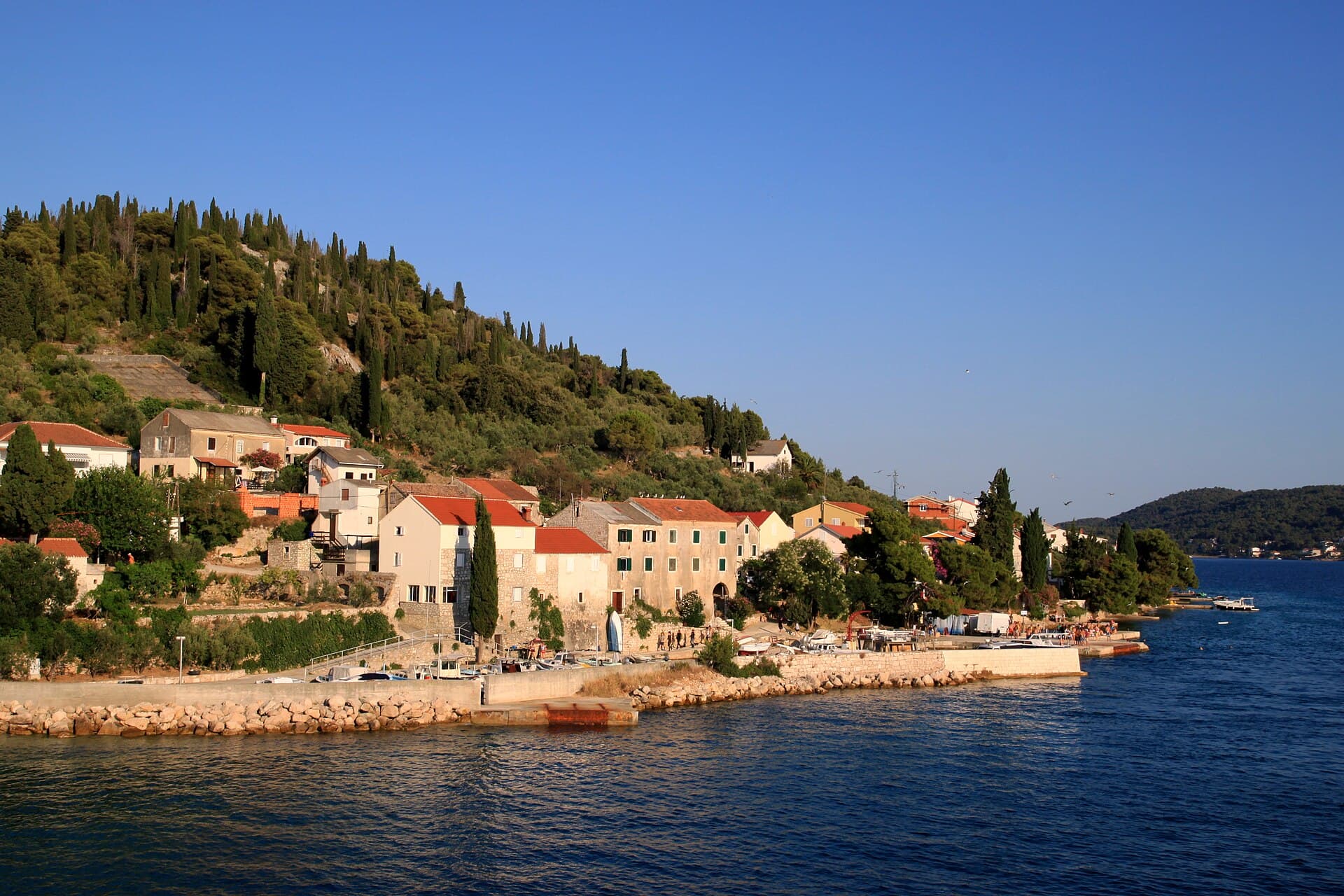
Ošljak, Preko
Village · Ošljak
Related guides
Novalja
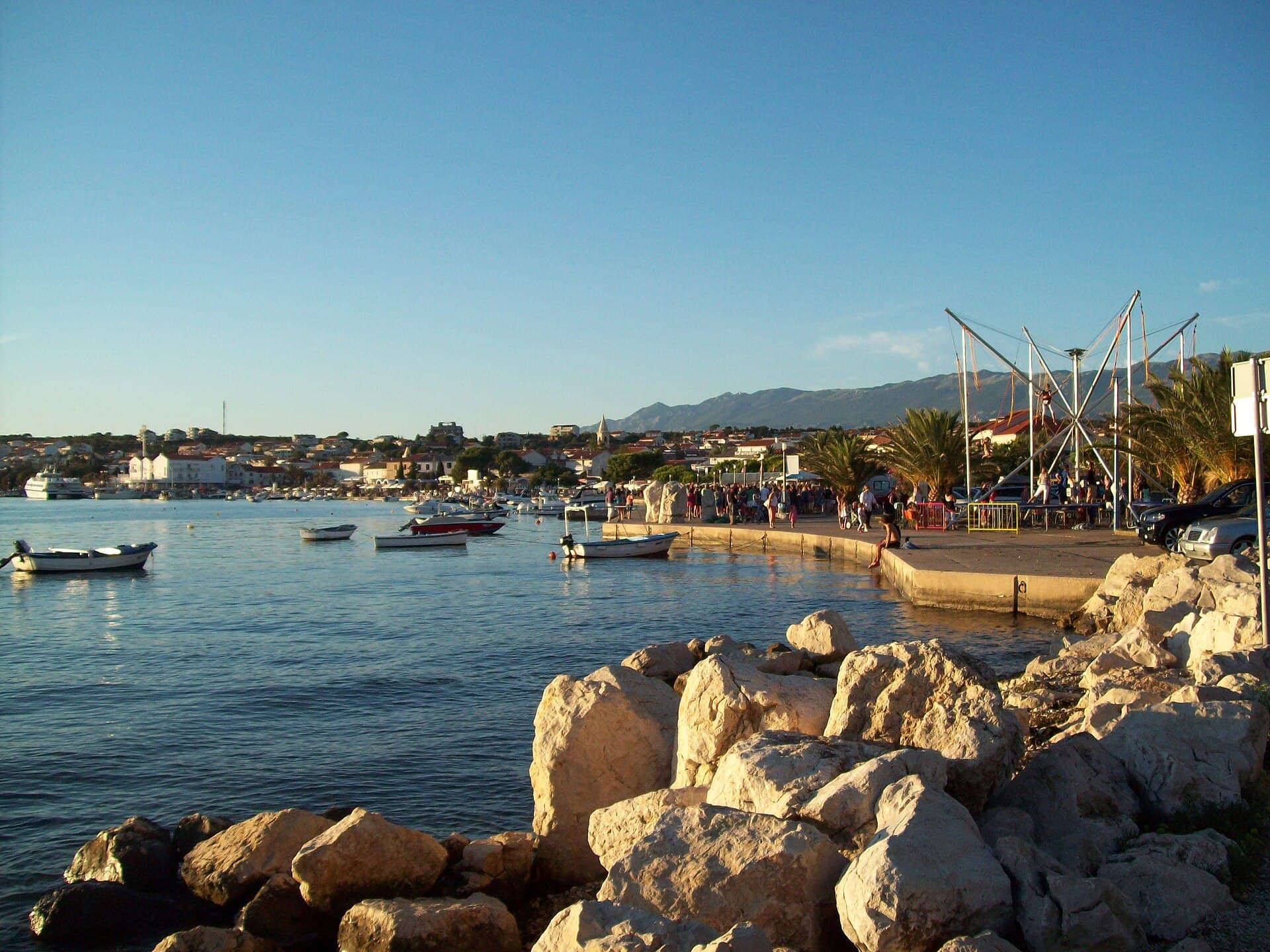
Novalja curves around a bay on Pag’s western shore, with the waterfront, Trg Bazilike and streets around Mala crikva forming the centre. Landing places and restaurants line the water, while…
Read the guide
Help improve this page
Spot something missing or wrong? Suggest a correction, add your photo or report a problem. Editors review every suggestion before it is published.
Photo credits
- Kali — Jean-no · CC BY-SA 3.0 · Wikimedia Commons
- Ošljak, Preko — Lovro Rumiha from Zagreb · CC BY 2.0 · Wikimedia Commons
- Preko — Andres rus · CC BY-SA 3.0 · Wikimedia Commons
- Poljana, Ugljan — Falk2 · CC BY-SA 4.0 · Wikimedia Commons
- Kukljica