
Mrkopalj
About this place
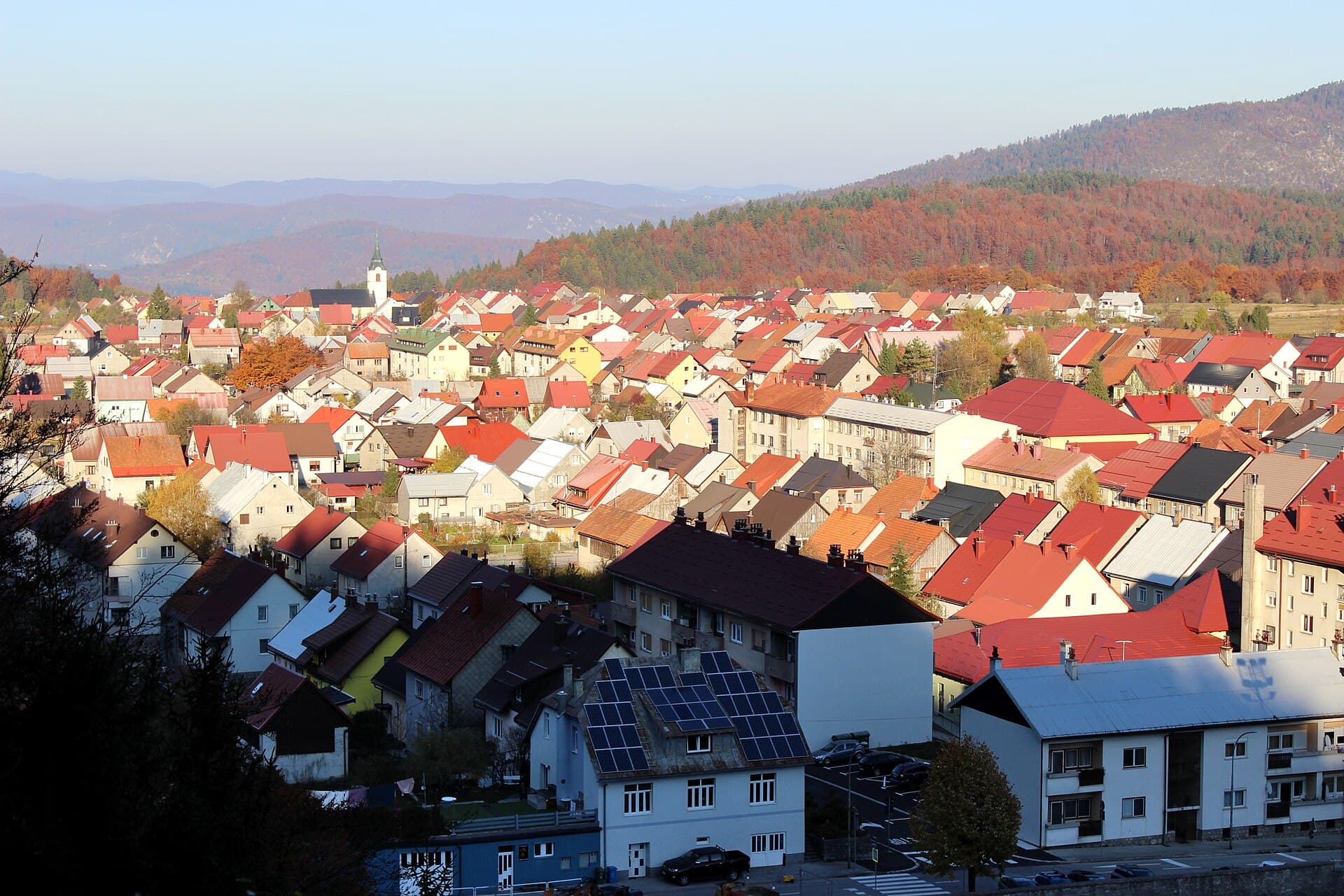
Set at 824 metres above sea level, Mrkopalj occupies a Gorski kotar basin where roads branch towards Tuk, Begovo Razdolje, Bjelolasica, and the Bijele and Samarske stijene formations. Its defining story is Croatian skiing: a course for fourteen skiers was organised here in 1913, followed in 1914 by the first Croatian and Slavonian skiing championship, raced over seven kilometres. The Pod Vrhin ski jump, built in 1934, further explains why Mrkopalj is known as a cradle of Croatian skiing. Čelimbaša, immediately beside the settlement, provides the most accessible introduction to its winter landscape. In warmer weather, marked cycling routes lead through Matić poljana, while experienced hikers use the wider Mrkopalj area to approach the strict reserve of Bijele and Samarske stijene. Fortica preserves archaeological traces of a small medieval church dating from the fourteenth or fifteenth century, and the historic Karolina road has crossed Mrkopalj since 1732. At Matić poljana, 26 stone monoliths commemorate 26 fighters who died in a snowstorm in 1944, giving the mountain scenery a poignant historical dimension.
Mrkopalj is a mountain settlement shaped by the historic Karolina road, forestry and winter sports. It first appears in records in 1477 and was granted the status of a privileged royal market town in 1785, complete with its own coat of arms and seal. The present parish church of Our Lady of the Seven Sorrows dates from 1854; it became the parish church after the bombing of 6 April 1944 destroyed the Church of St Philip. Mrkopalj’s sporting identity rests on the 1913 ski course, the 1914 Croatian and Slavonian championship and the local ski jump built in 1934. This blend of former market-town history, pioneering ski heritage and high Gorski kotar terrain gives Mrkopalj a character quite distinct from coastal Kvarner.
Things to see
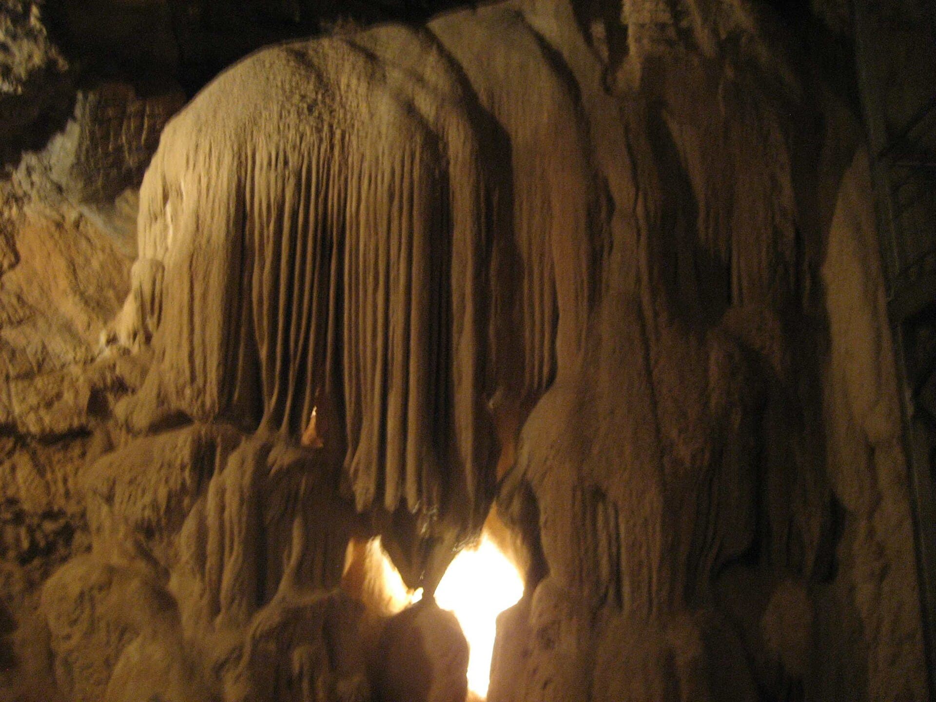
Fortica is an archaeological site on the rise above Mrkopalj, preserving the remains of a small church of the type the Frankopans built for their serfs in the fourteenth or fifteenth century. The Church of Our Lady of the Seven Sorrows dates from 1854 and maintained parish life after wartime destruction of the older Church of St Philip. Matić poljana is marked by 26 stone monoliths commemorating 26 fighters who died in a 1944 blizzard. Čelimbaša is the settlement’s principal sporting landmark, with slopes used for skiing and sledging immediately beside Mrkopalj. Farther into the mountains, Bijele and Samarske stijene form the area’s outstanding natural destination, a strictly protected karst landscape reached by demanding hiking routes from the wider Mrkopalj area.
 Special reserve
 Special reserve
 Strict nature reserve
Stays nearby
- Apartment
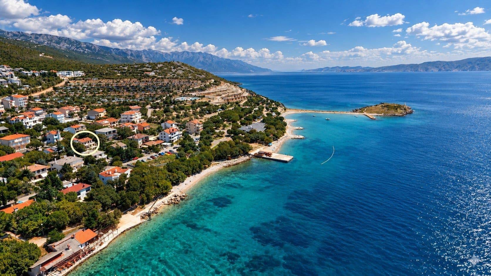 24 km from Mrkopalj
Be the first to list here
Guests looking for this place only see stays nearby for now. No commission, and enquiries come straight to you.
List your accommodation
Things to do
Begin at Fortica, where the remains of a fourteenth- or fifteenth-century church introduce Mrkopalj’s Frankopan-era story. Continue to the foot of Čelimbaša; in winter, skiing and sledging depend on the resort’s current snow and operating conditions. For a full cycling day, follow the Široka draga circuit from the centre through Tuk and past the Bijele stijene mountain lodge to Matić poljana, returning through the forest towards Čelimbaša. Properly equipped, experienced hikers can tackle the Mrkopalj Mountain Trail through Samarske stijene; the route was marked in 1988 and officially opened on 1 July 1990. End with a quieter visit to Matić poljana, where 26 stone memorials stand starkly against the open mountain landscape.
Tours and activities
AdAd · partner offers: Viator, GetYourGuideThe partner handles booking, payment and support. StayBravo may earn a commission on bookings made through these links.How we choose offersWe choose offers based on the page you are viewing: the partner destination for this place or the nearest one (with its distance), and on a sight page only offers that mention it. We show offers rated at least 4.3 with at least 10 reviews, without multi-day tours or pure transfers, ordered by rating adjusted for the number of reviews and then by the partner’s order. We do not use data about you, and the commission does not affect the order.GetYourGuide offers are selected and ordered by GetYourGuide based on the name of the nearest larger town or national park; we do not influence their selection and do not use data about you.GetYourGuide · Crikvenica
We show GetYourGuide offers once you allow their cookies.
Viator
Nearest destination: Kvarner (20 km)
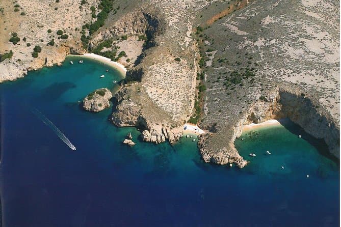
Private Wild Bays Boat Trip with Captain Bobo (opens in a new tab)
A relaxing half-day excursion, in the season, with less boat ride and more swimming in the perfectly clear sea and sunbathing on the most beautiful beaches of the northern Adriatic, ideal for all…
Rated 5 out of 5 · 50 reviews· 3.5 h
Free cancellation
from €190
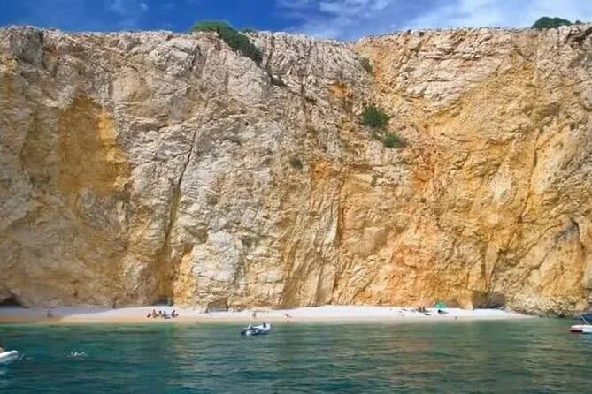
PUBLIC 3,5h Swimming and Snorkeling on the Wild Bays (opens in a new tab)
A relaxing public half-day excursion (3,5h), with less boat ride and more swimming and snorkeling in the perfect clear sea, and sunbathing on the most beautiful beaches of the northern Adriatic…
Rated 5 out of 5 · 22 reviews· 3.5 h
Free cancellation
from €37
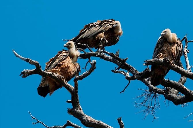
Private Plavnik Island Half-Day boat trip with capt. Bobo (opens in a new tab)
If you want a little more adventure, come with me to Plavnik, second largest uninhabited island in Croatia. After an hour boat ride, we reach the northern coast of the island Plavnik, which reveals…
Rated 4.9 out of 5 · 22 reviews· 5 h
Free cancellation
from €340
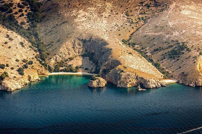
Private 7,5h Plavnik Island & Wild Bays Full-day Boat Trip (opens in a new tab)
If you like to sail with local traditional boats and enjoy the endless blue of the beautiful Adriatic Sea and you are not too big a fan of mass tourism, then this is the best option for you. After…
Rated 5 out of 5 · 13 reviews· 7.5 h
Free cancellation
from €650
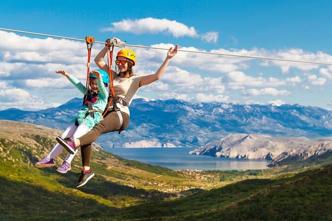
Zipline Experience Krk (opens in a new tab)
This is a attraction on the island of Krk and the whole of Croatia, intended for families and adventure lovers. We offers our visitors an unforgettable experience; driving our jeep, walking among…
Rated 4.7 out of 5 · 114 reviews· 2 h
Free cancellation
from €80
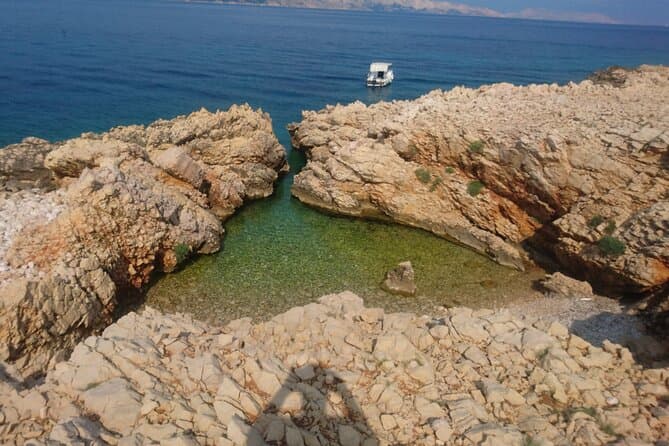
PUBLIC 5h Plavnik Island swimming & snorkeling Half-day Boat trip (opens in a new tab)
A public half-day boat trip (max 13 people), with swimming into caves, jumping from rocks and relaxing in the most beautiful bays and beaches of the northern Adriatic, accessible only by sea. You…
Rated 4.9 out of 5 · 10 reviews· 5 h
Free cancellation
from €50
Frequently asked questions
Why is Mrkopalj called a cradle of Croatian skiing?
Mrkopalj hosted a ski course for 14 participants in 1913 and the first Croatian and Slavonian skiing championship over seven kilometres in 1914.
What do the 26 stones at Matić poljana represent?
The monoliths commemorate 26 fighters who died in a 1944 snowstorm at Matić poljana.
When did the Mrkopalj Mountain Trail open?
The trail through the Samarske stijene area was marked in 1988 and formally opened on 1 July 1990.
How far is Begovo Razdolje from Mrkopalj by bicycle?
The marked route is about six kilometres long, climbing from central Mrkopalj at 824 metres to Begovo Razdolje at roughly 1,076 metres.
What can visitors see at Fortica?
Fortica preserves the archaeological remains of a fourteenth- or fifteenth-century church associated with Mrkopalj’s Frankopan period.
Nearby
Mrkopalj
Open in OpenStreetMap(opens in a new tab)straight-line distance
Related guides

Fužine
Fužine is defined not by a single lake but by three reservoirs within the Ličanka and Lepenica catchments. Bajer, created in the 1950s, reaches almost into the village centre; Lepenica has…
Read the guide
Delnice
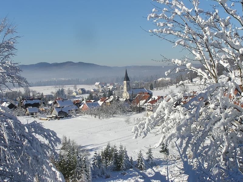
Altitude, snowy winters and forests that reach into the town centre define Delnice. Japlenški vrh begins just beyond King Tomislav Park, allowing walkers to move quickly from streets into…
Read the guide
Ravna Gora
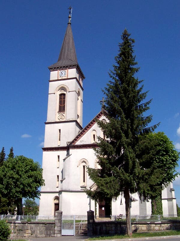
Ravna Gora is a municipal centre in Gorski kotar, set in the field of the same name beside the old Karolina road. The Croatian Encyclopaedia places it 17 kilometres southeast of Delnice and…
Read the guide
Vrbovsko
Vrbovsko is the easternmost town of Gorski kotar, administering 65 settlements across 280 square kilometres. The Kupa and the Slovenian border shape its northern edge, while the southern…
Read the guide
Know Mrkopalj? Correct us
Tell us in your own words what is not accurate. We check right away.Do not enter personal data. Corrections are checked by the StayBravo AI assistant; changes to the description are approved by an editor. Use the form instead
Do you know Mrkopalj?
Help the guests who come after you.
Help us complete
Nothing is published without an editor’s review.Report illegal content
Photo credits: Mrkopalj — Mr. Mrko. (CC BY-SA 4.0) · Kupjak, Ravna Gora — Martinarg (CC BY-SA 3.0) · Lokve — Sl-Ziga (Public domain) · Vrata, Fužine — Robert Weemeyer (CC0) · Delnice — Lan Glad (CC BY-SA 4.0) · Park-šuma Golubinjak, Lokvarka Cave, Bijele i Samarske stijene — Croq (CC BY-SA 3.0) · Zeleni vir — Deapmakeup (CC BY-SA 4.0) · Apartmani Klenovica.eu — Ljiljana Pavkovic (courtesy of the property owner) · Fužine — Unknown authorUnknown author (Public domain) · Vrbovsko — Original uploader was LalalaB at hr.wikipedia (CC BY-SA 3.0)