About this place
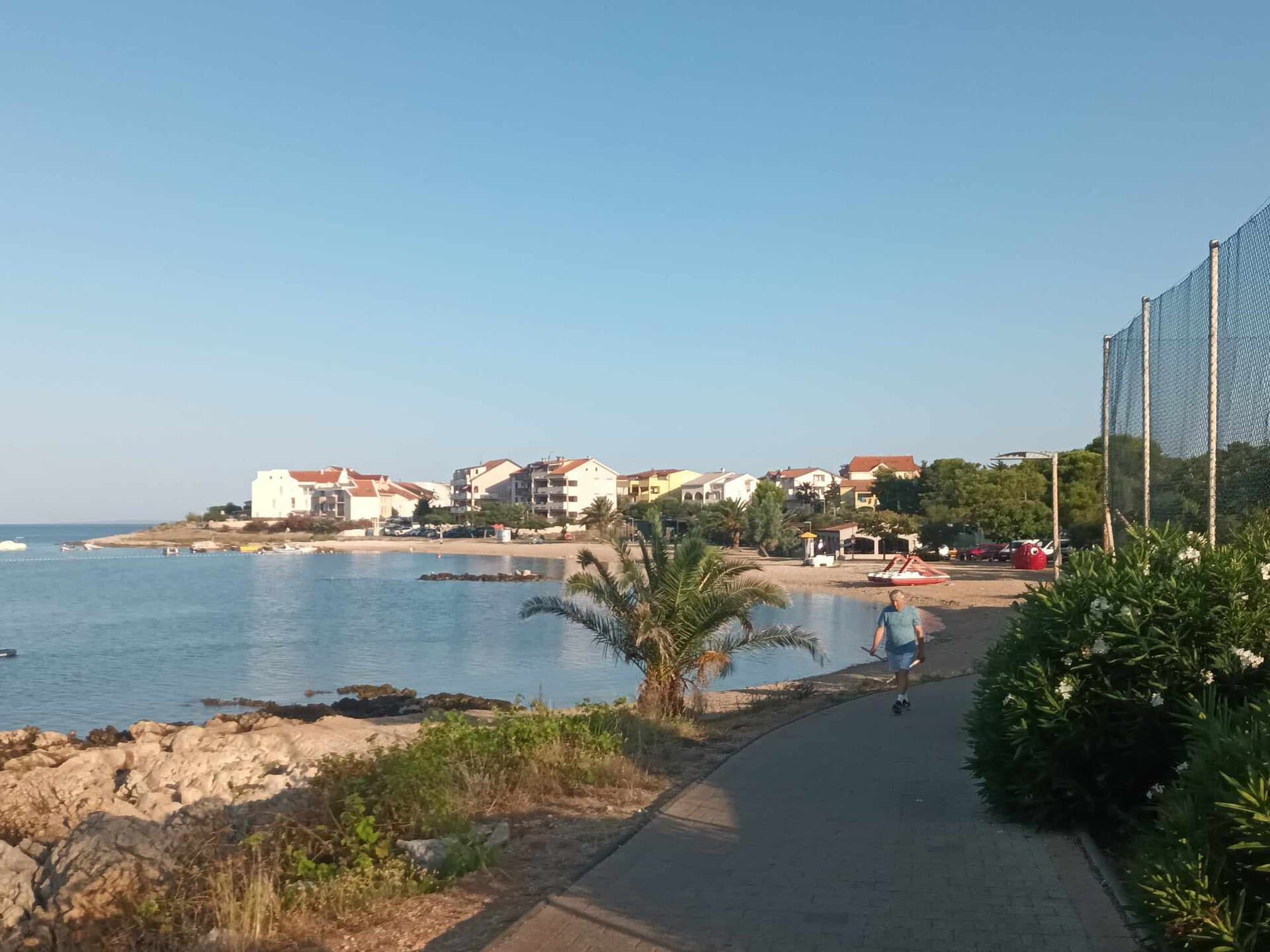
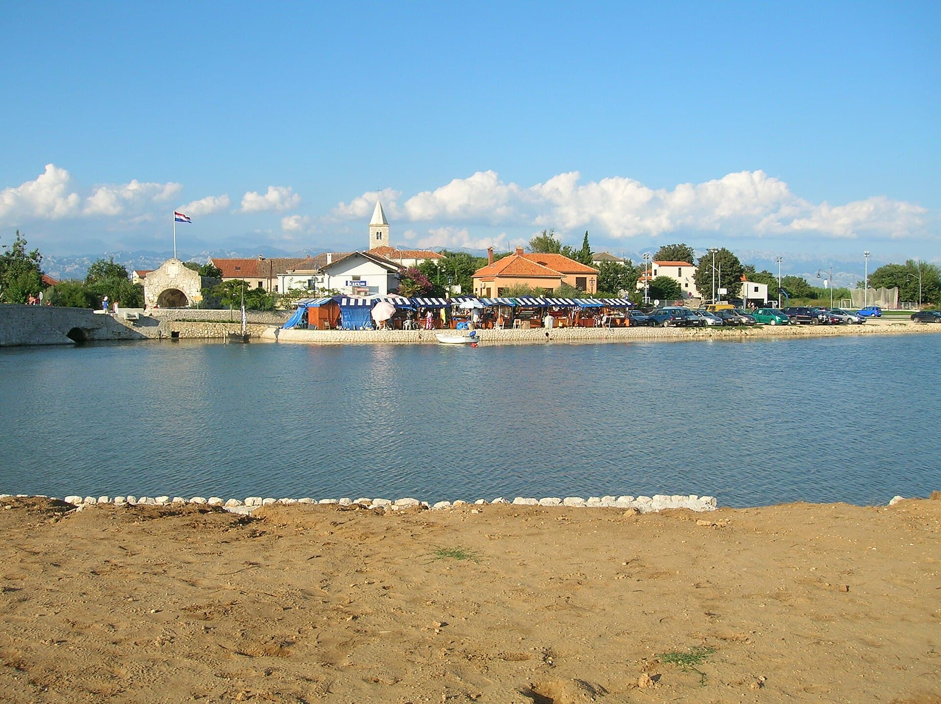
Privlaka occupies a sandy peninsula between Nin Bay and the Zadar Channel, with long shallow coves that are unusual along much of the Croatian coast. The settlement has a strong fishing tradition, and a particularly distinctive part of local history belongs to the sabunjari, workers who once extracted sea sand and transported it by wooden boats. Historic wells form another local motif; the best known is Sokolar, linked with a local legend and mentioned in the first Croatian novel. St Vitus Church is another site highlighted by the regional tourist board. Beaches such as Mostina, Škrapavac–Bilotinjak and the Sabunike area are known for sand and shallow water, while Sabunike is particularly recognised for windsurfing and kitesurfing because of winds descending from Velebit. Privlaka lies very close to Nin and on the road network toward the Vir bridge, allowing short trips between Nin’s historic centre, sandy lagoons and the island of Vir.
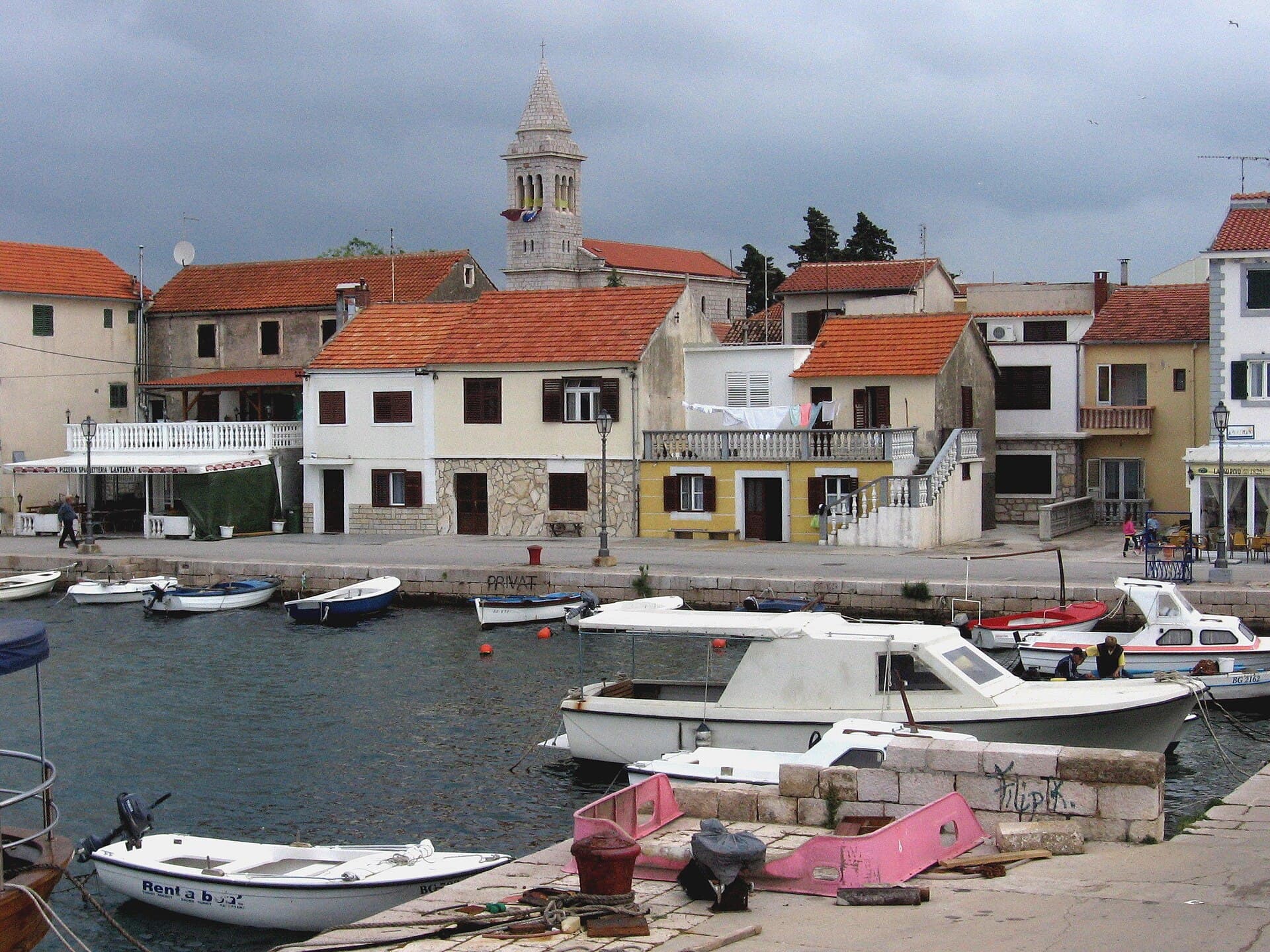
Privlaka occupies a low, sandy peninsula between Nin Bay and the Zadar Channel, a setting that has shaped its shallow coves, fishing harbour and the holiday districts of Sabunike and Škrapavac. Fishermen can still be seen sorting their nets in the central harbour after the morning catch, while the village wells recall the time when dependable freshwater sources were essential. Another distinctly local story belongs to the sabunjari, workers who extracted sea sand and carried it aboard wooden boats. At Cape Artić—promoted by the local tourist board as the westernmost mainland point of Dalmatia—the peninsula ends with an unobstructed sunset view.
Stays nearby
 Apartment
Apartmeni Klenovica.eu
Klenovica
96 km from Privlaka
up to 4 guests · 1 bedroom
The host confirms the exact price for your dates and availability.
Things to see
Privlaka’s old wells provide a historic detail that can easily be overlooked beside the beaches. Sokolar is the best known and is connected with a legend that also entered Croatian literary tradition. The regional tourist board lists St Vitus Church among the settlement’s principal cultural sites. On the coast, Mostina is distinctive for sand and dark mud, while Sabunike is better known among windsurfing and kitesurfing visitors. The history of the sabunjari, workers who extracted and transported sea sand, further explains why sand and the sea occupy such a strong place in Privlaka’s local identity.
Beaches
Mostina has sand, shallow water, showers, changing cabins, an eco-toilet and accessible entry into the sea; its shore is also known for dark peloid mud. Selo Beach sits beside the harbour and old village centre, making it the easiest swim to combine with a walk through Privlaka. The long sandy bay at Škrapavac–Bilotinjak suits children and hesitant swimmers, with its steeper northern edge offering some protection from the bora; facilities include showers, a playground and a small water park. Punta is a natural rocky beach with beach volleyball and a children’s play area. Near Vir Bridge, the fenced Kažin dog beach extends for more than 100 metres and has both an access road and parking.
Bathing water quality nearby
- Uvala Loznica · 635 mnot classified · season 2025
Source: European Environment Agency (EEA); data from Croatian authorities. · bathing water profile
Things to do
Begin in Privlaka’s harbour early enough to watch the fishing boats and nets, then continue to Selo Beach beside the old village core. From there, follow the coast towards Cape Artić and time the walk for sunset. A longer outing can use the Privlaka stretch of the Queen’s Trail, linking the Sabunike viewpoint with sandy shores, Cape Artić and Bilotinjak. For a more energetic afternoon, head to Sabunike for windsurfing or kitesurfing, where the coast catches the bora blowing down from Velebit. Finish at a slower pace by looking for Privlaka’s historic wells, particularly Sokolar, the best-known well and the subject of a local love legend.
Food and drink
Privlaka’s food culture begins with the fishing boats: grilled fish, brudet stew and shellfish are natural choices, often joined by Pag cheese, olives and local wine. The tourist board’s dining list includes Amico on Kninska Street, Planura on Ivana Pavla II and Koćeta on Put Mulića. Bistro Sabun shares the address of the tourist office, while Moreta Bar stands on Kolište Square. Amico, Planura, Koćeta, Castello and local bistros have also taken part in the Days of Delicacies Inspired by Privlaka’s Fishermen and Sandmen, connecting present-day menus with the village’s maritime trades. For a drink beside the shore, the official list includes Batela at Bilotinjak and several beach bars in Sabunike.
Practical information
Practical information
Privlaka Tourist Board is at Ivana Pavla II 46 and can be reached on +385 23 367 468 or at [email protected]. The municipal office is at the same address; it operates from 7:00 to 15:00 on weekdays and receives visitors between 8:00 and 11:00. The tourist board map is particularly helpful because Privlaka spreads across several coastal districts, including Sabunike and Škrapavac, and marks beaches, places to eat and the dog beach near Kažin. For services unavailable in the village, Nin and Zadar are the nearest larger centres, while current local guidance on beaches, accommodation and events is best obtained from the Privlaka office.
Parking
Privlaka does not publish a unified paid-parking zone system or an official 2026 tariff, but several individual sites have clearly arranged vehicle access. At the fenced Kažin dog beach near Vir Bridge, the tourist board specifically notes an improved access road and a parking area. Privlaka’s official map marks parking beside selected beaches and amenities and is useful when choosing an approach to Sabunike, Škrapavac or the central waterfront. Space is more constrained around Selo Beach, the harbour and the old village core than in the outer districts; leaving the car farther from the waterfront and walking the final stretch is therefore sensible, particularly during summer programmes on Kolište Square.
Frequently asked questions
Who were Privlaka’s sabunjari?
The sabunjari extracted sea sand and transported it by wooden boats, leaving a distinctive mark on local maritime history.
Why is the Sokolar well well known?
Sokolar is the best known of Privlaka’s old wells and is tied to a local legend and a reference in the first Croatian novel.
Where are the best windsurfing conditions around Privlaka?
Sabunike is particularly noted for Velebit winds and is promoted regionally for windsurfing and kitesurfing.
What is Mostina beach like?
Mostina is sandy and shallow and is also known for dark mud along the shore.

Related guides
Novalja
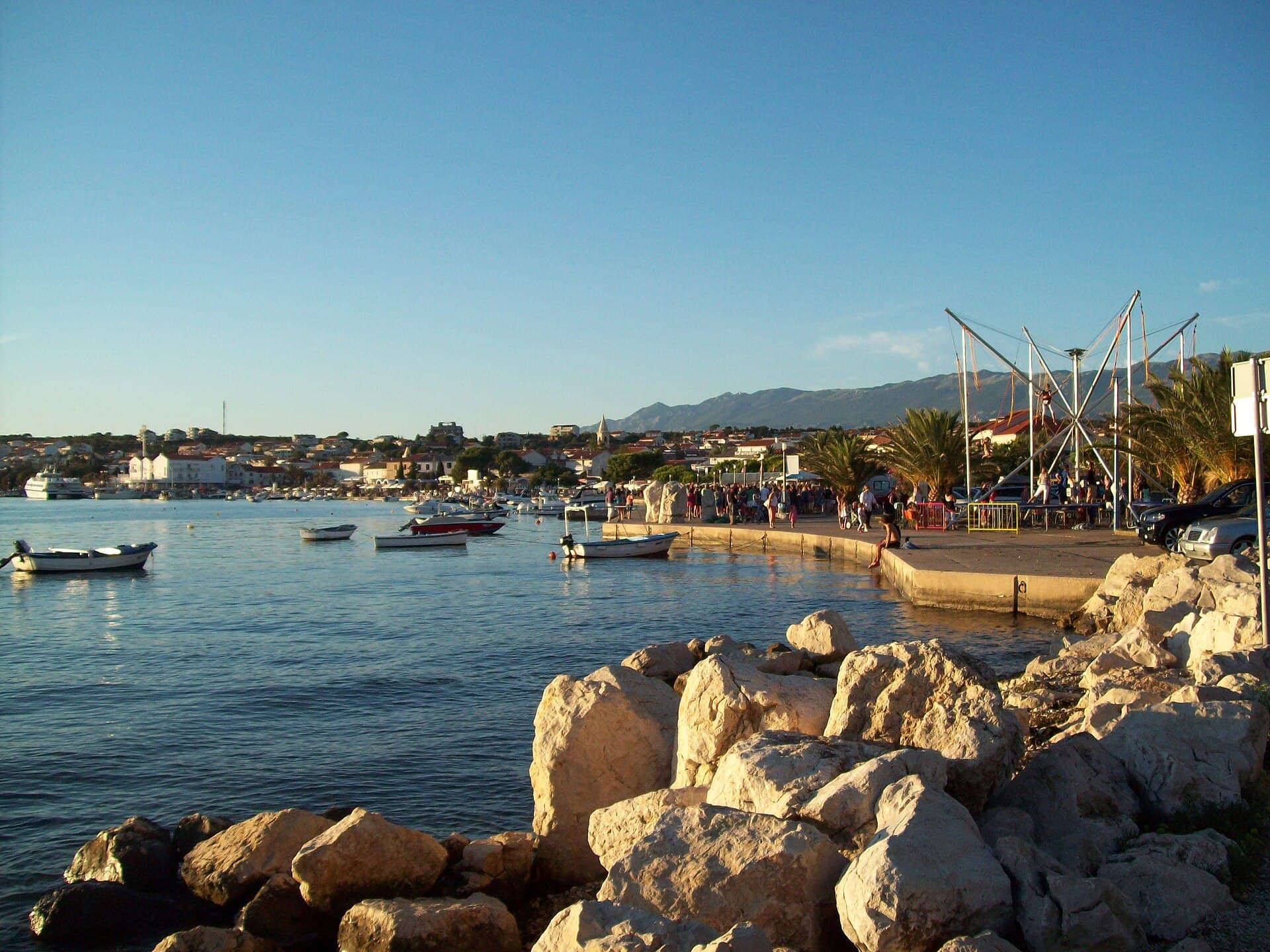
Novalja curves around a bay on Pag’s western shore, with the waterfront, Trg Bazilike and streets around Mala crikva forming the centre. Landing places and restaurants line the water, while…
Read the guide
Help improve this page
Spot something missing or wrong? Suggest a correction, add your photo or report a problem. Editors review every suggestion before it is published.
Photo credits
- Privlaka — Andrzej Mlynarz · CC BY 3.0 · Wikimedia Commons
- Nin — Amphisbène · CC BY 2.5 · Wikimedia Commons
- Vir — Cro-Cop · CC BY-SA 3.0 · Wikimedia Commons
- Zaton — Böhringer Friedrich · CC BY-SA 2.5 · Wikimedia Commons
- Petrčane