
Marinje Zemlje
About this place
Marinje Zemlje is a tiny inland settlement on Vis, administratively part of the Town of Vis and positioned above the island’s southern shore. Its setting makes most sense on the route to Stiniva: the official walk from Vis reaches the Marine Zemlje sign, follows asphalt for roughly 1.5 kilometres towards Žužeca and then descends sharply into the cove. Stiniva, a pebble inlet enclosed by steep limestone walls, has been protected as a significant landscape since 1967 and is the defining sight in this corner of the island. This is not a conventional seaside resort; the experience revolves around dry-stone walls, island fields, quiet lanes and the demanding footpath down to the water. Marinje Zemlje also lies within the Vis Archipelago UNESCO Global Geopark, encompassing Vis and its outlying islands. Sturdy footwear, drinking water and enough time for the climb back from Stiniva matter here, while access to the island begins with the ferry crossing from Split.
Marinje Zemlje is defined by its position between the fields of Vis and the island’s abrupt southern coast, rather than by a waterfront or a resort centre. The small settlement belongs to the administrative area of the Town of Vis and acts as a useful inland landmark on the approach to Stiniva. The Marine Zemlje sign stands along the official Vis–Vino polje–Plisko polje–Stiniva walk, listed at about three and a half hours. The surrounding limestone terrain forms part of the Vis Archipelago UNESCO Global Geopark, where dry-stone walls, geology and old island tracks are as important to the landscape as the sea. Expect scattered homes and rural Vis here, not the services of Vis town.
Things to see

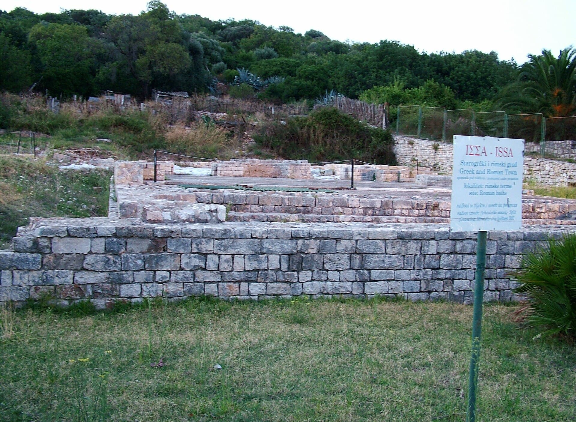
Crkva Blažene Djevice Marije od Milosrđa u Visu
Landmark · Vis
Our Lady of Spilica, Vis’s parish church of the Assumption, is a layered building that holds a valuable Renaissance painting by Giovanni Santacroce.
4 km from Marinje Zemlje

Stays further afield
- Apartment
 53 km from Marinje Zemlje
- Apartment
 53 km from Marinje Zemlje
- Other stay
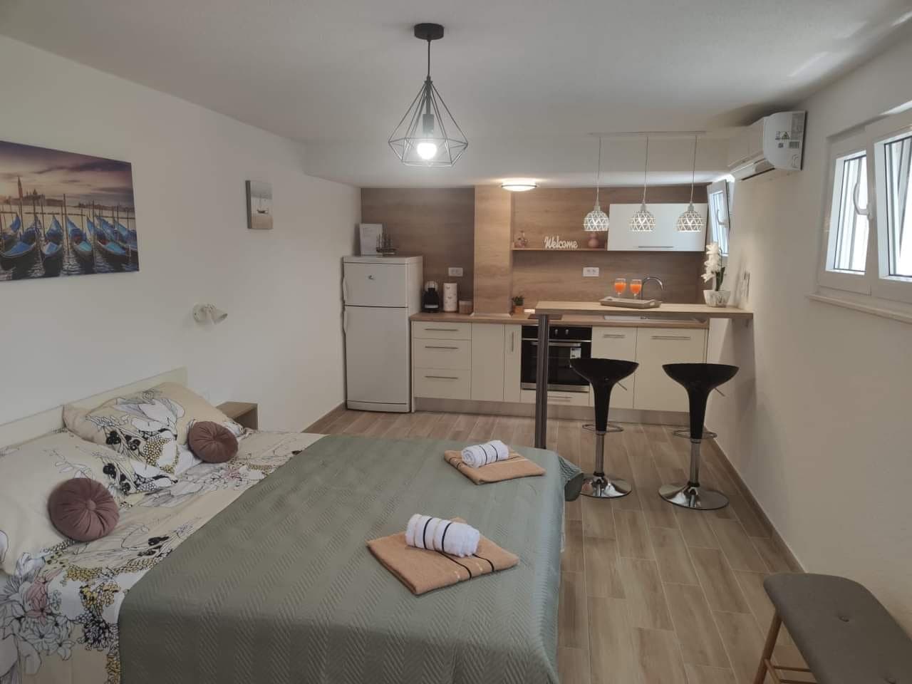 53 km from Marinje Zemlje
- Apartment
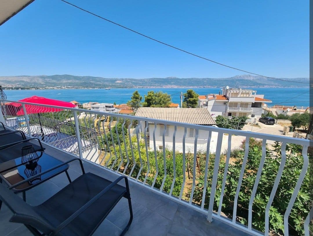 54 km from Marinje Zemlje
- Apartment
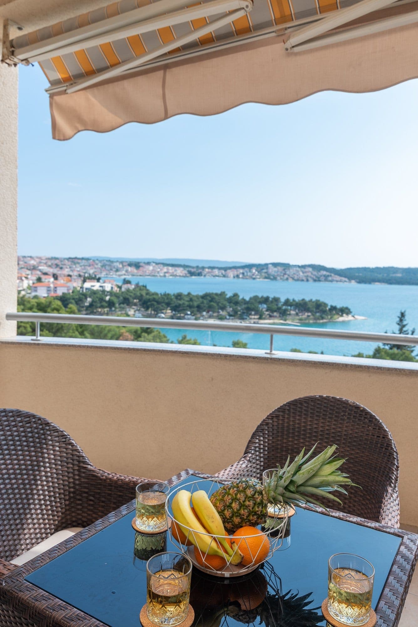 55 km from Marinje Zemlje
Be the first to list here
Guests looking for this place only see stays nearby for now. No commission, and enquiries come straight to you.
List your accommodation
Beaches
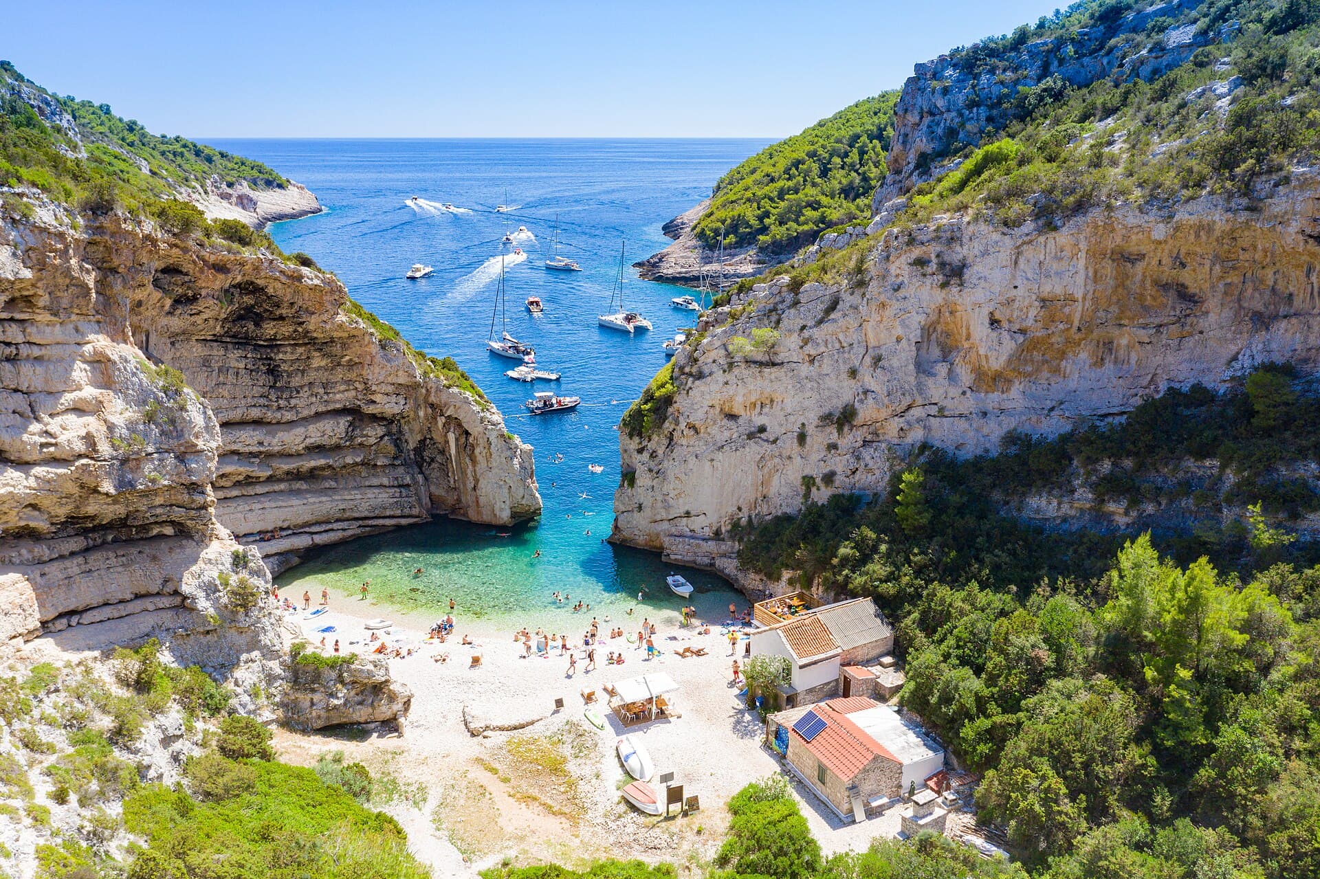
Stiniva is the essential beach near Marinje Zemlje, with a pebble shore at the end of a narrow inlet whose almost sealed entrance is framed by tall limestone cliffs. Protected as a significant landscape since 1967, the cove is valued as much for its extraordinary coastal form as for swimming. The land approach descends sharply from the Žužeca area, making grippy footwear far more suitable than flip-flops. Stiniva can also be reached from the sea, though visiting boats converge on the same compact beach. The return towards Marinje Zemlje involves a real uphill walk, without a promenade or the extensive facilities associated with larger resort beaches.
Bathing water quality nearby
- Srebrna · 2.2 kmexcellent
Source: European Environment Agency (EEA); data from Croatian authorities. · bathing water profile
Things to do
The natural outing from Marinje Zemlje follows the road towards Žužeca, reached after roughly 1.5 kilometres of asphalt on the official route. Beyond the informal parking area near Žužeca, the path drops steeply into Stiniva, so allow energy and time for the tougher climb back after swimming. A longer walk can begin in Vis town and cross Vino polje and Plisko polje before reaching the Marine Zemlje sign; the tourist board gives about three and a half hours for the complete route. The reward is Stiniva’s narrow sea entrance framed by limestone cliffs, one of the signature locations within the Vis Archipelago UNESCO Global Geopark.
Tours and activities
AdAd · partner offers: Viator, GetYourGuideThe partner handles booking, payment and support. StayBravo may earn a commission on bookings made through these links.How we choose offersWe choose offers based on the page you are viewing: the partner destination for this place or the nearest one (with its distance), and on a sight page only offers that mention it. We show offers rated at least 4.3 with at least 10 reviews, without multi-day tours or pure transfers, ordered by rating adjusted for the number of reviews and then by the partner’s order. We do not use data about you, and the commission does not affect the order.GetYourGuide offers are selected and ordered by GetYourGuide based on the name of the nearest larger town or national park; we do not influence their selection and do not use data about you.Viator
Nearest destination: Hvar (27 km)
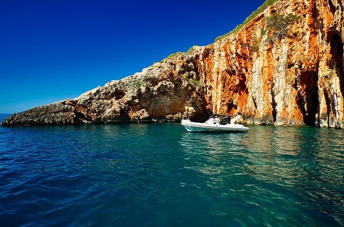
Exclusive Private Tour: Red Rocks & Pakleni Islands (opens in a new tab)
Enjoy the best adventure private boat trip from town Hvar. Discover most beautiful places, beaches, hidden bays and old villages on the south side of Hvar island and around Pakleni islands in 8…
Rated 5 out of 5 · 184 reviews· 4–8 h
Free cancellation
from €700
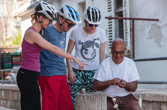
Boutique Hvar Cycling Experience | Hosted by a Local Family (opens in a new tab)
DURATION: 3-5 hours SKILL LEVEL: Easy – intermediate WHAT TO WEAR? Equipment suitable for cycling, trainers, a hat or cap Take a peek at the islands beauty and find a unique place of serenity…
Rated 5 out of 5 · 139 reviews· 3–5 h
Free cancellation
from €135
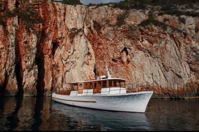
Boat Tour at Delfina Hvar (opens in a new tab)
Let our crew show you hidden beaches and secret places. Exploring Hvar and the surrounding islands with us will be an everlasting memory of your visit.
Rated 5 out of 5 · 293 reviews· 5 h
Free cancellation
from €73
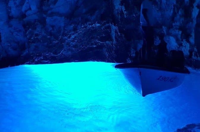
Blue & Green Cave Vis Island and Pakleni Islands Private Day Trip from Hvar (opens in a new tab)
Experienced skipper,good local tour guide and new speedboat. Tour is private and it's limited to maximum of 6 people. It's possible to customize this tour.
Rated 5 out of 5 · 121 reviews· 8–10 h
Free cancellation
from €880
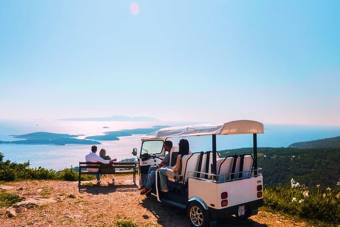
Hvar Lavender Fields,Stone Villages & Scenic Views by eTuk Tuk (opens in a new tab)
Leave the crowds behind and discover Hvar’s hidden treasures on this unforgettable eTuk Tuk adventure. Visit abandoned stone villages, stroll through famous lavender fields, enjoy spectacular…
Rated 5 out of 5 · 132 reviews· 1.5–2 h
Free cancellation
from €200
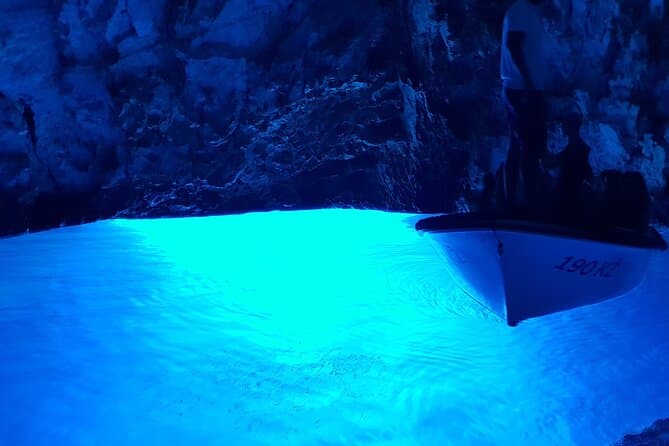
Blue Cave & Vis Island speedboat tour from Hvar (opens in a new tab)
Join us on our tour that starts at 10:15 in the morning from Hvar town. Enthusiastic crew full of knowledge about the local archipelago will take you to five breathtaking stops! Enjoy the comfort of…
Rated 4.9 out of 5 · 1,135 reviews· 7–8 h
Free cancellation
from €99.99
GetYourGuide · Hvar
We show GetYourGuide offers once you allow their cookies.
Practical information
Getting there and around
A journey to Marinje Zemlje begins at Vis harbour, linked to the mainland by Jadrolinija’s ferry route 602 from Split. For 2026, the operator lists a year-round crossing of about 140 minutes, with the purchased ticket reserving a place on the selected sailing. From the port, the route continues by road into the island’s interior towards Marinje Zemlje; reaching Stiniva then requires heading towards Žužeca and completing the final steep section on foot. Between June and September 2026, Vis is also served daily by fast-ship route 659 from Split via Bol and Hvar, but that passenger service does not carry cars. The walk into Stiniva must therefore be planned separately from transport to the settlement.
Frequently asked questions
How do you reach Stiniva from Marinje Zemlje?
The official route continues towards Žužeca, followed by a steep footpath down to Stiniva beach.
Is Stiniva a protected cove?
Stiniva has been protected as a significant landscape since 1967.
How long is the Split–Vis ferry crossing?
Jadrolinija lists a crossing time of about 140 minutes for route 602 between Split and Vis in 2026.
Nearby
Marinje Zemlje
Open in OpenStreetMap(opens in a new tab)Larger towns
Smaller places
straight-line distance
Related guides
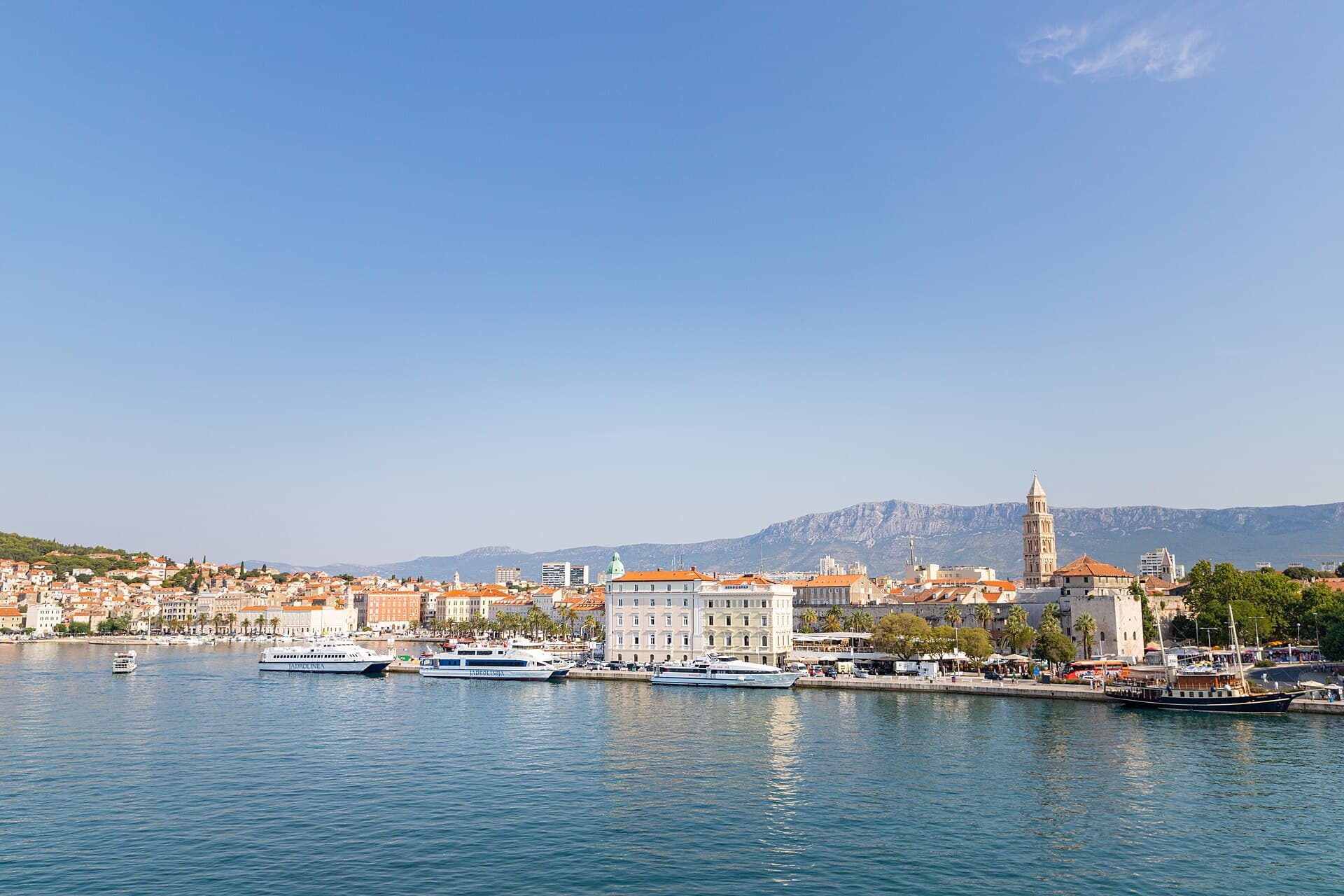
Split
In Split, the transition from ancient monument to ordinary street is almost imperceptible: entering the southern part of Diocletian’s Palace from the Riva leads towards the Peristyle, then…
Read the guide

Baška Voda
Baška Voda lies in the western part of the Makarska Riviera directly below the Biokovo massif. Once a fishing and seafaring settlement, it developed into a resort whose centre remains…
Read the guide
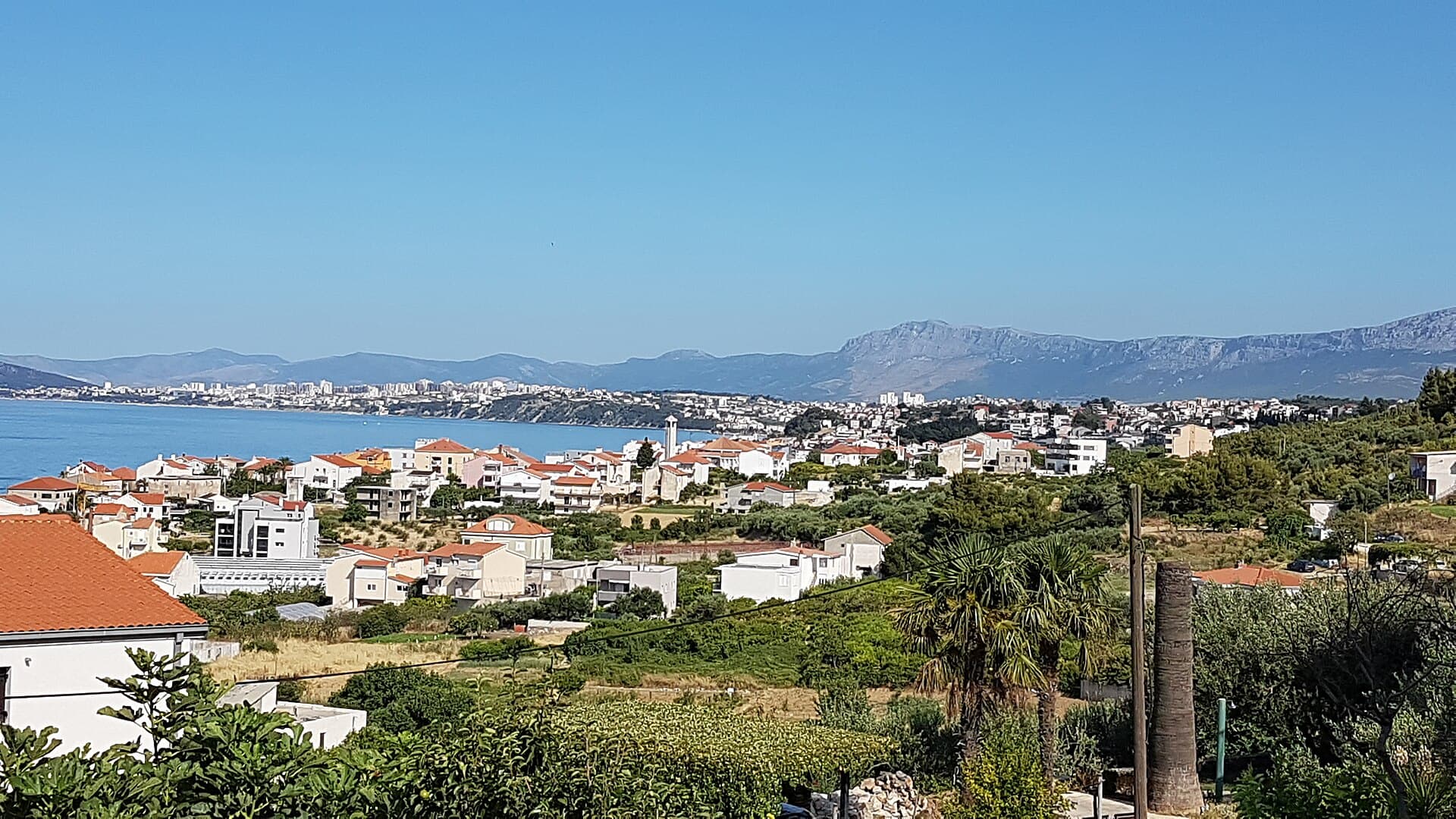
Podstrana
Podstrana is made up of five settlements. The oldest is Gornja Podstrana, set 290 to 340 metres above sea level beneath Perun, while Strožanac, Grljevac, Sveti Martin and Mutogras follow…
Read the guide

Brela
Brela is a municipal seat at the northern end of the Makarska littoral, about 15 km northwest of Makarska, on the Adriatic Highway and in a belt of pine forest at the foot of Biokovo. The…
Read the guide
Know Marinje Zemlje? Correct us
Tell us in your own words what is not accurate. We check right away.Do not enter personal data. Corrections are checked by the StayBravo AI assistant; changes to the description are approved by an editor. Use the form instead
Do you know Marinje Zemlje?
Help the guests who come after you.
Help us complete
Nothing is published without an editor’s review.Report illegal content
Photo credits: Marinje Zemlje, Tito’s Cave — Ex13 (CC BY-SA 3.0) · Rukavac, Podstražje — ModriDirkac (CC BY-SA 4.0) · Vis — Minestrone (CC BY-SA 4.0) · Vis — Carsten Steger (CC BY-SA 4.0) · Crkva Blažene Djevice Marije od Milosrđa u Visu — August Dominus (CC BY-SA 4.0) · Issa — Jadvinia (CC BY 3.0) · Stiniva, Split — dronepicr (CC BY 2.0) · Apartman Lucija — Ljubica Munjiza (courtesy of the property owner) · Apartmani Mirjana, Apartman Anđela — Mirjana Rapić (courtesy of the property owner) · Apartman A&K — Jelena Boban (courtesy of the property owner) · Baška Voda — Mario Žamić (CC BY-SA 3.0) · Podstrana — Romanm (CC BY-SA 4.0) · Brela — Josip-Pino Žamić (CC BY-SA 4.0)