Rukavac
About this place
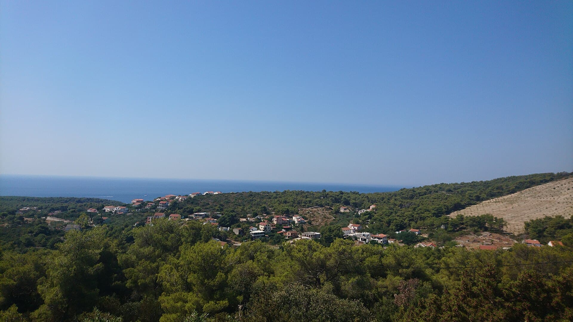
Rukavac occupies the far south-eastern coast of Vis, ten kilometres by road from Vis Town, and is the island’s largest coastal settlement. Rather than forming one compact village, it spreads between Old Rukavac in the bay’s eastern arm, the harbour and swimming area in the western arm, and Upper and Lower Rukavac farther inland. Houses and holiday apartments extend from the first bend below Podstražje almost as far as Srebrna, the best-known bathing spot on this side of Vis. Nearby Tepluš has a pebble shore suited to families, with shade available in the pine grove above the beach. East of Srebrna, Bili bok forms a sequence of broad stone terraces running towards Punta od Polivala; these secluded slabs have long been associated with naturist bathing. Rukavac also provides a convenient departure point for Ravnik and the Green Cave, less than one nautical mile offshore. Its working harbour, pale stone coast and dispersed hamlets create a distinctly southern Vis setting.
Rukavac grew around a bay whose two arms have noticeably different roles: Old Rukavac survives in the east, while the western side contains the landing place, restaurants and swimming area. Upper and Lower Rukavac sit farther inland, with development following the approach road towards Podstražje and Srebrna. The Vis Tourist Board identifies it as the island’s largest coastal settlement and notes that, after Komiža, it is the easiest place on Vis to find freshly caught fish. Ravnik reinforces that maritime identity, with the Green Cave lying less than a nautical mile from the Rukavac shoreline.
Things to see

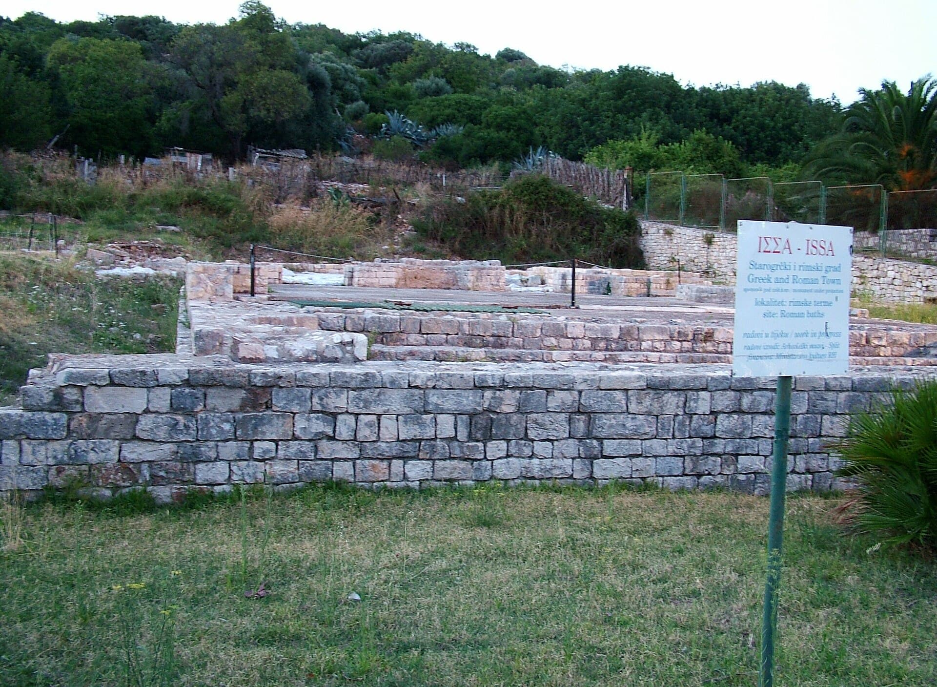
Crkva Blažene Djevice Marije od Milosrđa u Visu
Landmark · Vis
Our Lady of Spilica, Vis’s parish church of the Assumption, is a layered building that holds a valuable Renaissance painting by Giovanni Santacroce.
4 km from Rukavac

Stays further afield
- Apartment
 52 km from Rukavac
- Apartment
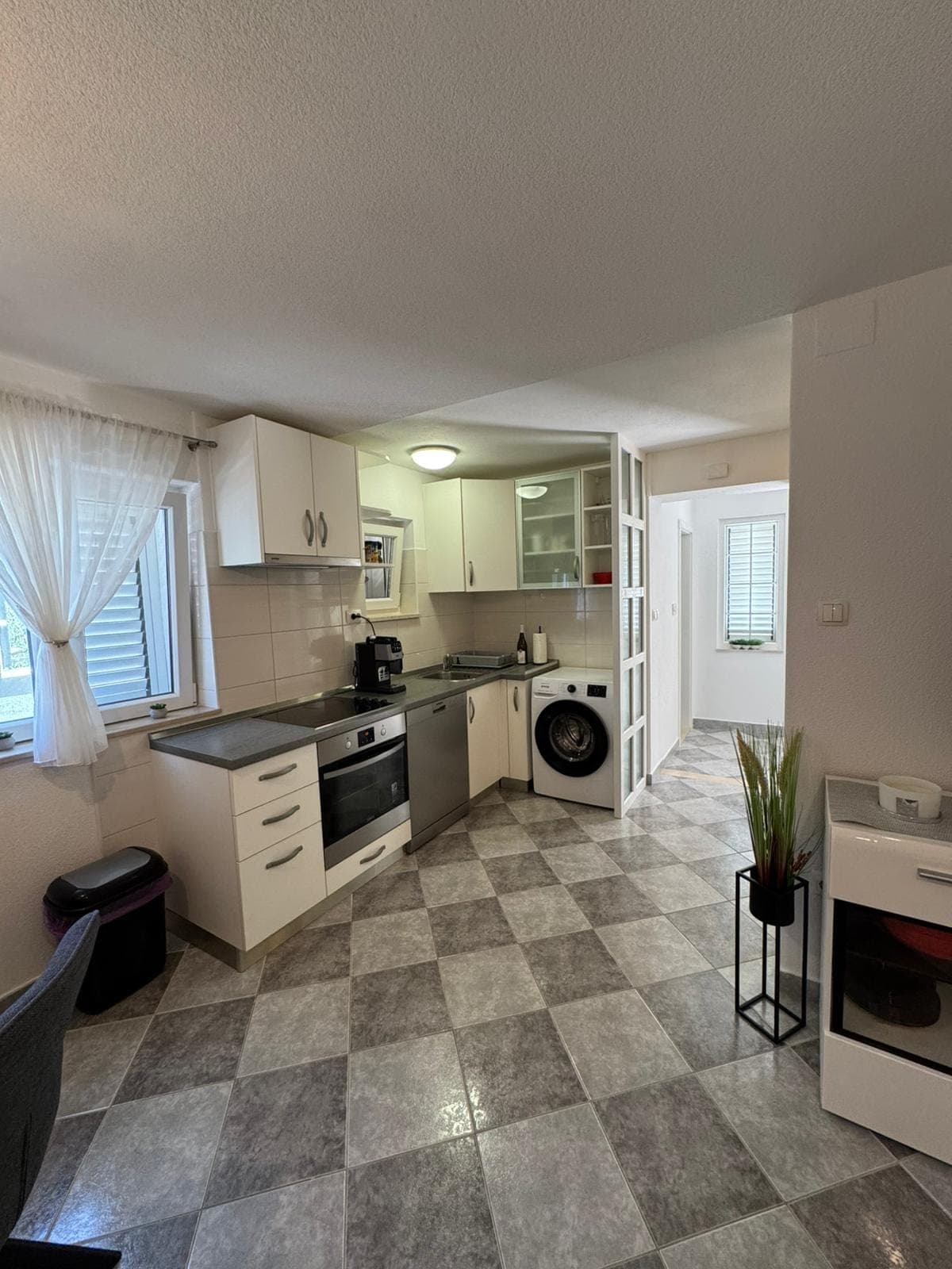 52 km from Rukavac
- Other stay
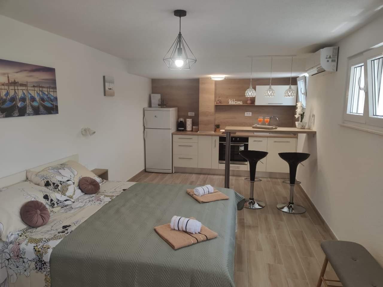 52 km from Rukavac
- Apartment
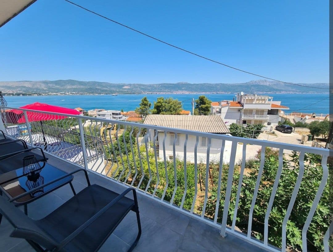 54 km from Rukavac
- Apartment
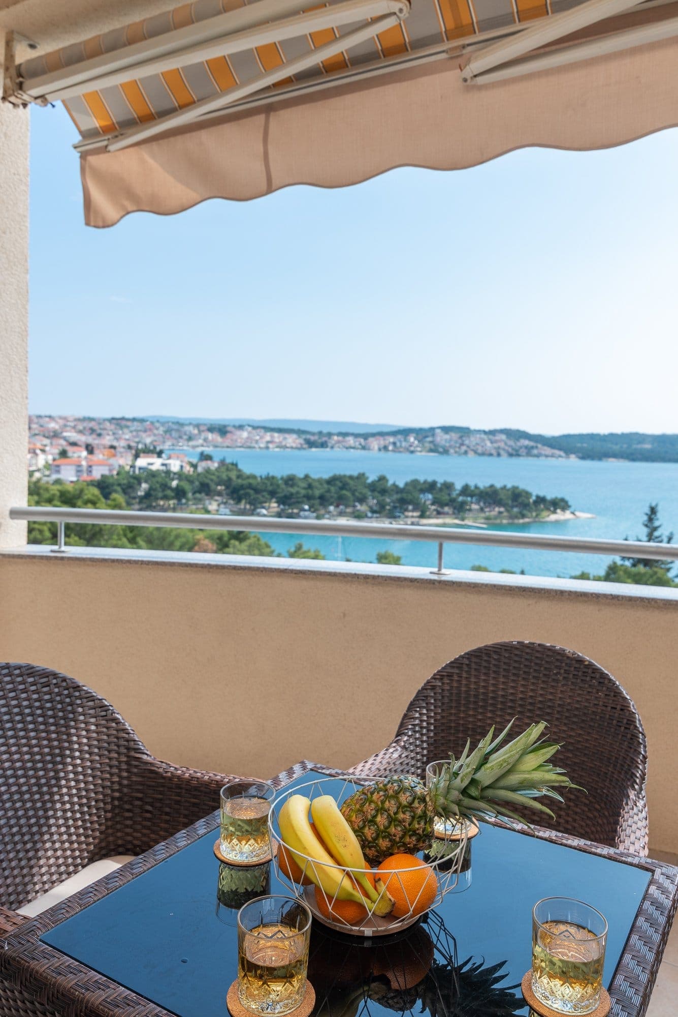 55 km from Rukavac
Be the first to list here
Guests looking for this place only see stays nearby for now. No commission, and enquiries come straight to you.
List your accommodation
Beaches
Tepluš lies at the south-western end of Rukavac Bay, combining a child-friendly pebble shore, broad rock slabs and a pine grove above the water. A gravel turn-off from the Srebrna road, beside the restaurant viewpoint, reaches a parking area close to Tepluš. Srebrna sits immediately west of Bili bok and acts as the landmark for approaching its stone terraces. Bili bok is not a conventional pebble beach: separate slabs extend from Srebrna’s eastern headland to Punta od Polivala and are reached along a path through pine woodland. These secluded terraces are a recognised naturist bathing area.
Bathing water quality nearby
- Srebrna · 416 mexcellent
- Uvala Milna · 2.6 kmexcellent
Source: European Environment Agency (EEA); data from Croatian authorities. · bathing water profile
Things to do
Begin at Rukavac harbour, walk across to the old fishing side of the bay, then continue towards Tepluš and Srebrna. At Tepluš, swimmers can enter from the pebbles or the broad rock slabs; the slabs on the northern side fall into shade after 5 p.m. From the parking area above Srebrna, a path through pine woodland leads towards Bili bok, whose stone terraces continue as far as Punta od Polivala. To finish on the water, arrange a boat outing from Rukavac towards Ravnik and the Green Cave, located less than one nautical mile away.
Tours and activities
AdAd · partner offers: Viator, GetYourGuideThe partner handles booking, payment and support. StayBravo may earn a commission on bookings made through these links.How we choose offersWe choose offers based on the page you are viewing: the partner destination for this place or the nearest one (with its distance), and on a sight page only offers that mention it. We show offers rated at least 4.3 with at least 10 reviews, without multi-day tours or pure transfers, ordered by rating adjusted for the number of reviews and then by the partner’s order. We do not use data about you, and the commission does not affect the order.GetYourGuide offers are selected and ordered by GetYourGuide based on the name of the nearest larger town or national park; we do not influence their selection and do not use data about you.GetYourGuide · Hvar
We show GetYourGuide offers once you allow their cookies.
Viator
Nearest destination: Hvar (25 km)
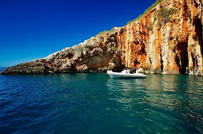
Exclusive Private Tour: Red Rocks & Pakleni Islands (opens in a new tab)
Enjoy the best adventure private boat trip from town Hvar. Discover most beautiful places, beaches, hidden bays and old villages on the south side of Hvar island and around Pakleni islands in 8…
Rated 5 out of 5 · 184 reviews· 4–8 h
Free cancellation
from €700
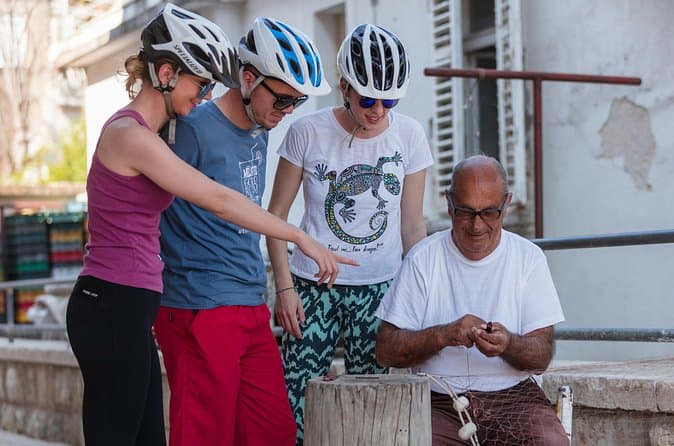
Boutique Hvar Cycling Experience | Hosted by a Local Family (opens in a new tab)
DURATION: 3-5 hours SKILL LEVEL: Easy – intermediate WHAT TO WEAR? Equipment suitable for cycling, trainers, a hat or cap Take a peek at the islands beauty and find a unique place of serenity…
Rated 5 out of 5 · 139 reviews· 3–5 h
Free cancellation
from €135
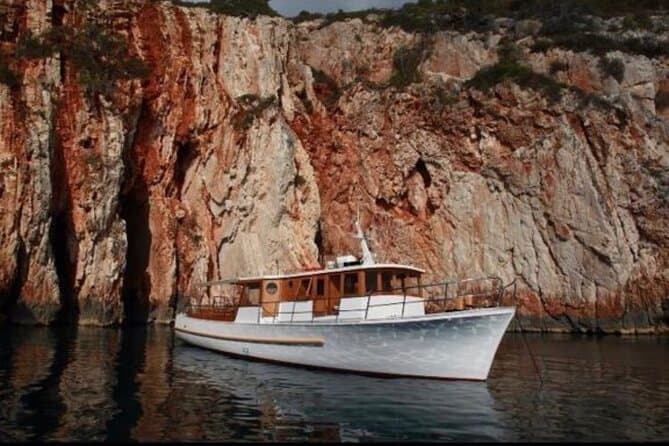
Boat Tour at Delfina Hvar (opens in a new tab)
Let our crew show you hidden beaches and secret places. Exploring Hvar and the surrounding islands with us will be an everlasting memory of your visit.
Rated 5 out of 5 · 293 reviews· 5 h
Free cancellation
from €73
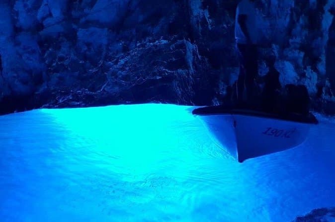
Blue & Green Cave Vis Island and Pakleni Islands Private Day Trip from Hvar (opens in a new tab)
Experienced skipper,good local tour guide and new speedboat. Tour is private and it's limited to maximum of 6 people. It's possible to customize this tour.
Rated 5 out of 5 · 121 reviews· 8–10 h
Free cancellation
from €880
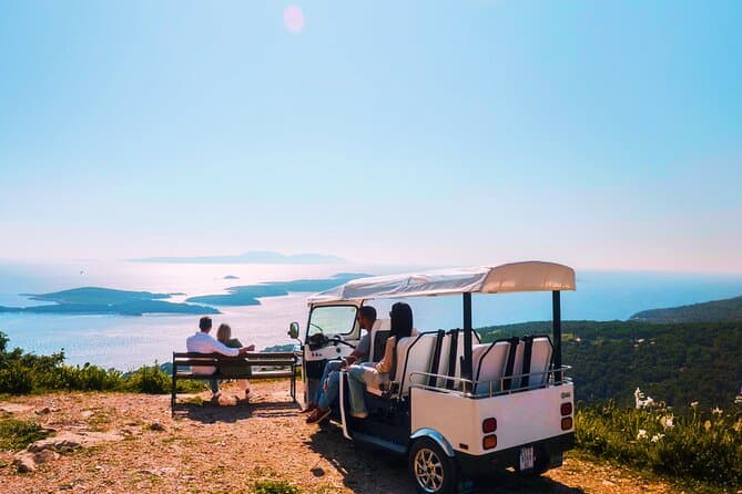
Hvar Lavender Fields,Stone Villages & Scenic Views by eTuk Tuk (opens in a new tab)
Leave the crowds behind and discover Hvar’s hidden treasures on this unforgettable eTuk Tuk adventure. Visit abandoned stone villages, stroll through famous lavender fields, enjoy spectacular…
Rated 5 out of 5 · 132 reviews· 1.5–2 h
Free cancellation
from €200
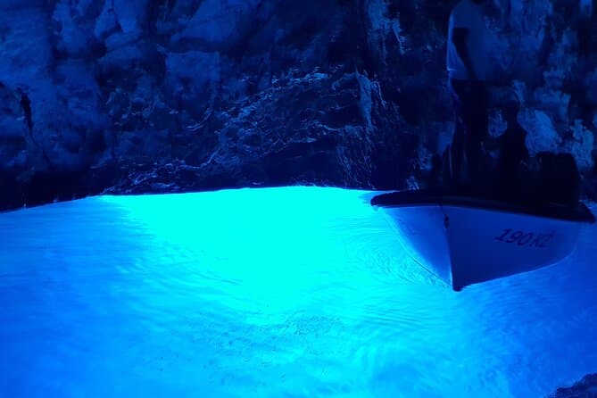
Blue Cave & Vis Island speedboat tour from Hvar (opens in a new tab)
Join us on our tour that starts at 10:15 in the morning from Hvar town. Enthusiastic crew full of knowledge about the local archipelago will take you to five breathtaking stops! Enjoy the comfort of…
Rated 4.9 out of 5 · 1,135 reviews· 7–8 h
Free cancellation
from €99.99
Practical information
Getting there and around
Vis is reached from Split on Jadrolinija’s ferry route 602, whose published 2026 information gives a crossing time of 140 minutes. Rukavac is ten kilometres by road from Vis harbour, so the final leg requires a car, rental vehicle or taxi. The ferry carries vehicles, and a ticket for the Split–Vis route reserves space on the chosen departure; Jadrolinija advises arriving at least 45 minutes before sailing, or 60 minutes in high season. The island’s regular bus service is primarily timed between Vis Town and Komiža, so visitors should not rely on it as a direct connection to Rukavac.
Frequently asked questions
How far is Rukavac from Vis Town?
Rukavac is ten kilometres by road from Vis Town.
Which Rukavac beach has shade?
At Tepluš, shade is available in the pine grove above the beach, while the northern rock slabs become shaded after 5 p.m.
Is Bili bok a naturist bathing spot?
Yes, Bili bok’s separate stone terraces have long been recognised as a naturist beach.
Nearby
Rukavac
Open in OpenStreetMap(opens in a new tab)Larger towns
Smaller places
straight-line distance
Related guides
Split
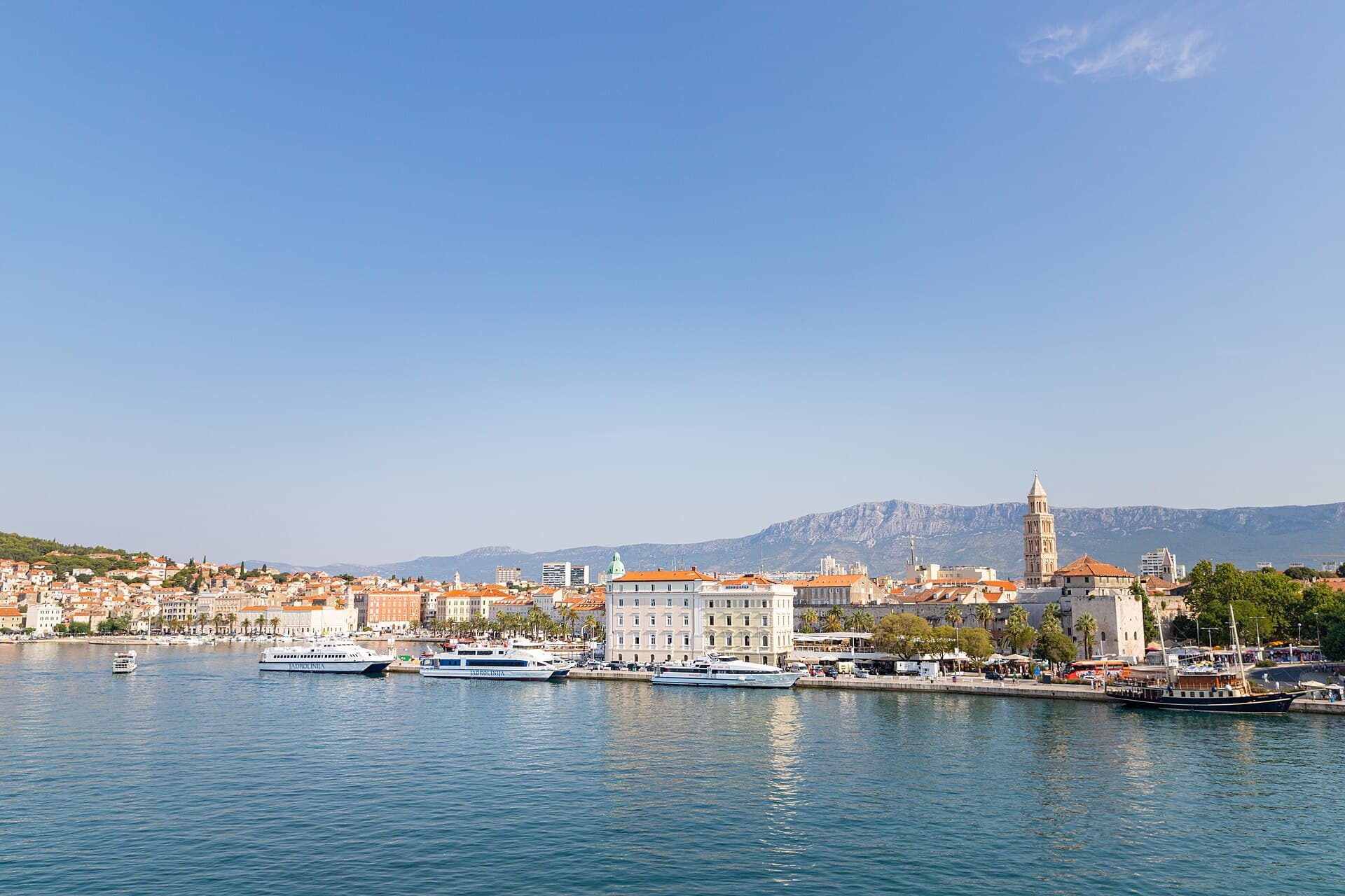
In Split, the transition from ancient monument to ordinary street is almost imperceptible: entering the southern part of Diocletian’s Palace from the Riva leads towards the Peristyle, then…
Read the guide

Baška Voda
Baška Voda lies in the western part of the Makarska Riviera directly below the Biokovo massif. Once a fishing and seafaring settlement, it developed into a resort whose centre remains…
Read the guide
Podstrana
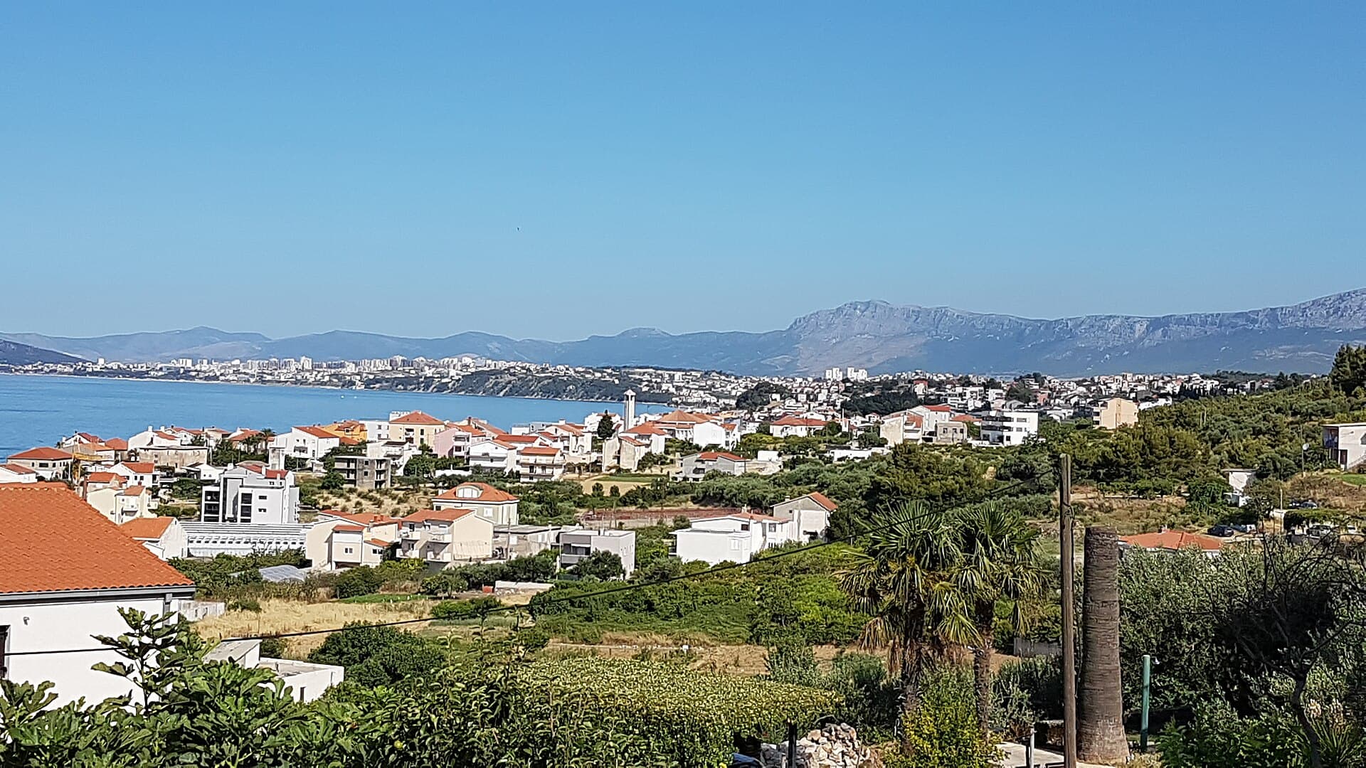
Podstrana is made up of five settlements. The oldest is Gornja Podstrana, set 290 to 340 metres above sea level beneath Perun, while Strožanac, Grljevac, Sveti Martin and Mutogras follow…
Read the guide

Brela
Brela is a municipal seat at the northern end of the Makarska littoral, about 15 km northwest of Makarska, on the Adriatic Highway and in a belt of pine forest at the foot of Biokovo. The…
Read the guide
Know Rukavac? Correct us
Tell us in your own words what is not accurate. We check right away.Do not enter personal data. Corrections are checked by the StayBravo AI assistant; changes to the description are approved by an editor. Use the form instead
Do you know Rukavac?
Help the guests who come after you.
Help us complete
Nothing is published without an editor’s review.Report illegal content
Photo credits: Rukavac, Podstražje — ModriDirkac (CC BY-SA 4.0) · Marinje Zemlje — Ex13 (CC BY-SA 3.0) · Vis — Minestrone (CC BY-SA 4.0) · Crkva Blažene Djevice Marije od Milosrđa u Visu, Fort George — August Dominus (CC BY-SA 4.0) · Issa — Jadvinia (CC BY 3.0) · Vis — Carsten Steger (CC BY-SA 4.0) · Apartman Lucija — Ljubica Munjiza (courtesy of the property owner) · Apartmani Mirjana, Apartman Anđela — Mirjana Rapić (courtesy of the property owner) · Apartman A&K — Jelena Boban (courtesy of the property owner) · Split — dronepicr (CC BY 2.0) · Baška Voda — Mario Žamić (CC BY-SA 3.0) · Podstrana — Romanm (CC BY-SA 4.0) · Brela — Josip-Pino Žamić (CC BY-SA 4.0)