Saplunara
About this place
Saplunara is a small settlement at the south-eastern end of Mljet, established after the Second World War as the harbour of inland Korita. Its bay, roughly one kilometre long, preserves one of Croatia’s largest remaining coastal-sand habitats, and Saplunara and its surroundings are protected as a Significant Landscape. Velika and Mala Saplunara are the two sandy beaches within the bay, while the almost enclosed Blace cove resembles a shallow lagoon. Stone pines and specialised sand plants grow between these beaches, making it important to remain on established paths. A short 2.4-kilometre cycling and walking route runs from Podškoji through Velika and Mala Saplunara to Blace, combining asphalt and gravel. Restaurant Stermasi at Saplunara 2 is the settlement’s principal dining address, while the tourist board also lists a seasonal fast-food outlet and beach bar. Saplunara lies outside Mljet National Park; reaching the park requires travelling through Sobra toward the island’s western end. Sobra receives the 45-minute car ferry from Prapratno and passenger catamarans from Dubrovnik.
Saplunara is defined by sand, stone pines and its exposed position at Mljet’s south-eastern end rather than by a historic urban core. The settlement developed after the Second World War as the coastal harbour of Korita. Its bay extends for roughly a kilometre and preserves rare coastal-sand habitats, earning the wider area protection as a Significant Landscape. Velika and Mala Saplunara sit within the same bay, while the nearly enclosed Blace cove lies beyond the headland. The village name is associated with the Latin word “sabulum”, meaning sand. Saplunara is outside Mljet National Park, which occupies the western part of the island.
Things to see
Saplunara’s main attractions are natural: the bay containing Velika and Mala Saplunara, the lagoon-like Blace cove and groves of stone pine rooted in sand. Blace connects to the open sea through a narrow entrance, creating its nearly enclosed form. The area’s botanical importance includes specialised coastal plants, among them sea daffodil recorded on the local beaches. At Podškoji, a memorial chapel with a wooden statue of Saint Paul the Shipwrecked recalls Mljet’s tradition linking the apostle’s shipwreck with this coast. Saplunara itself has no monumental stone centre comparable with Mljet’s older inland villages.

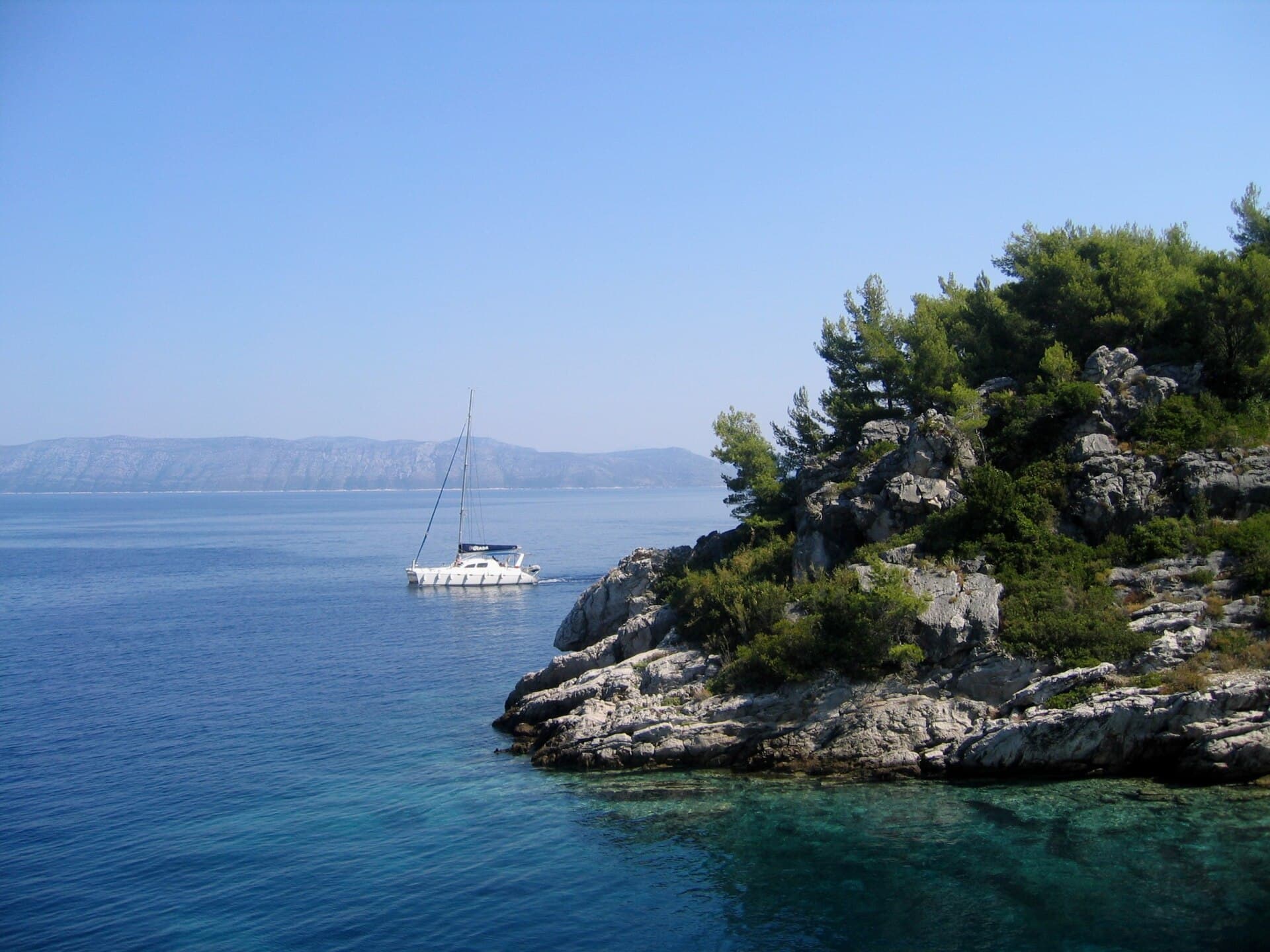
Sjeverna obala od rta Pusta u uvali Sobra do rta Stoba kod uvale Okuklje s otocima i akvatorijem
Nature · Sobra
site of community importance in Croatia
10 km from Saplunara
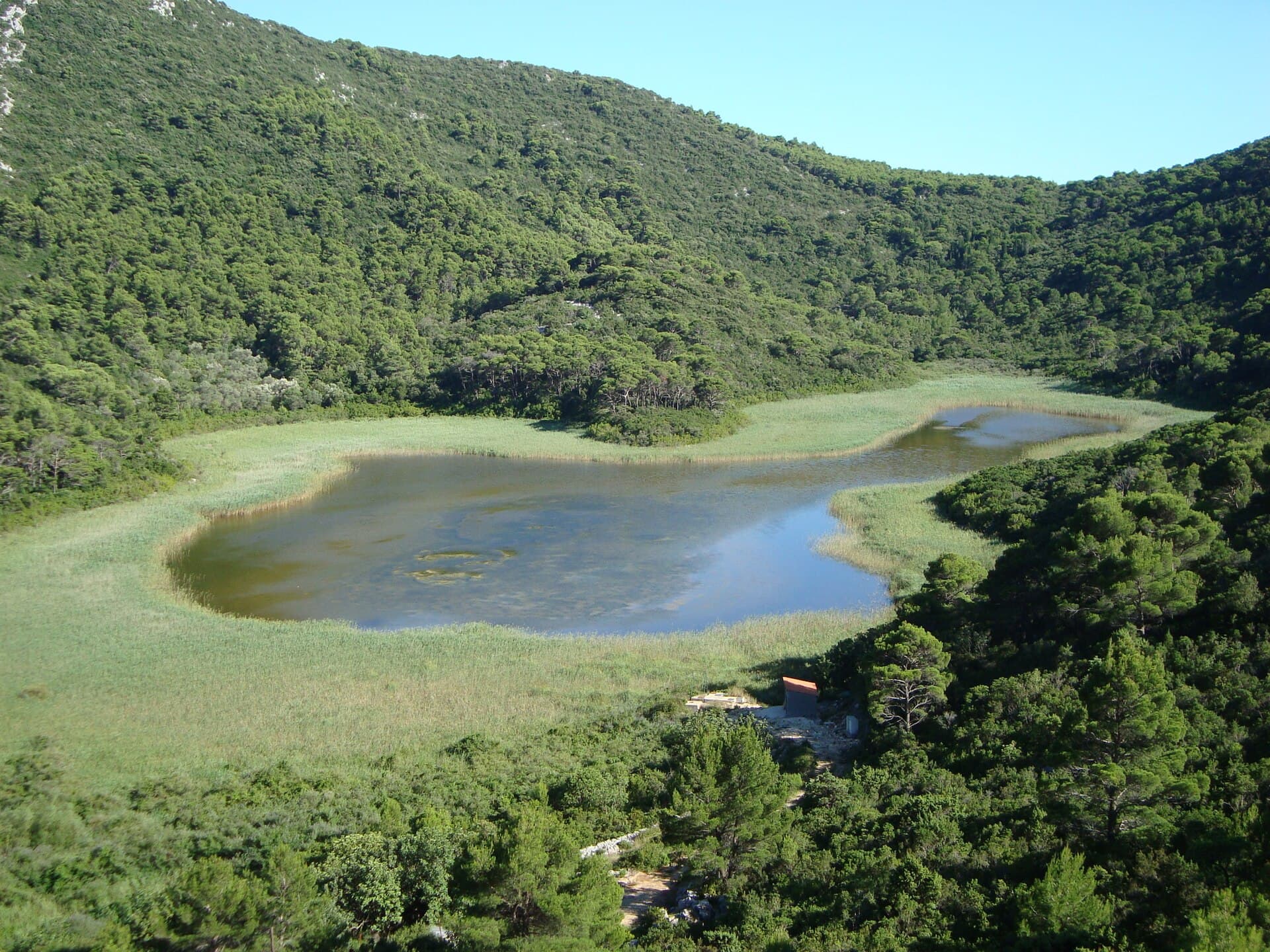
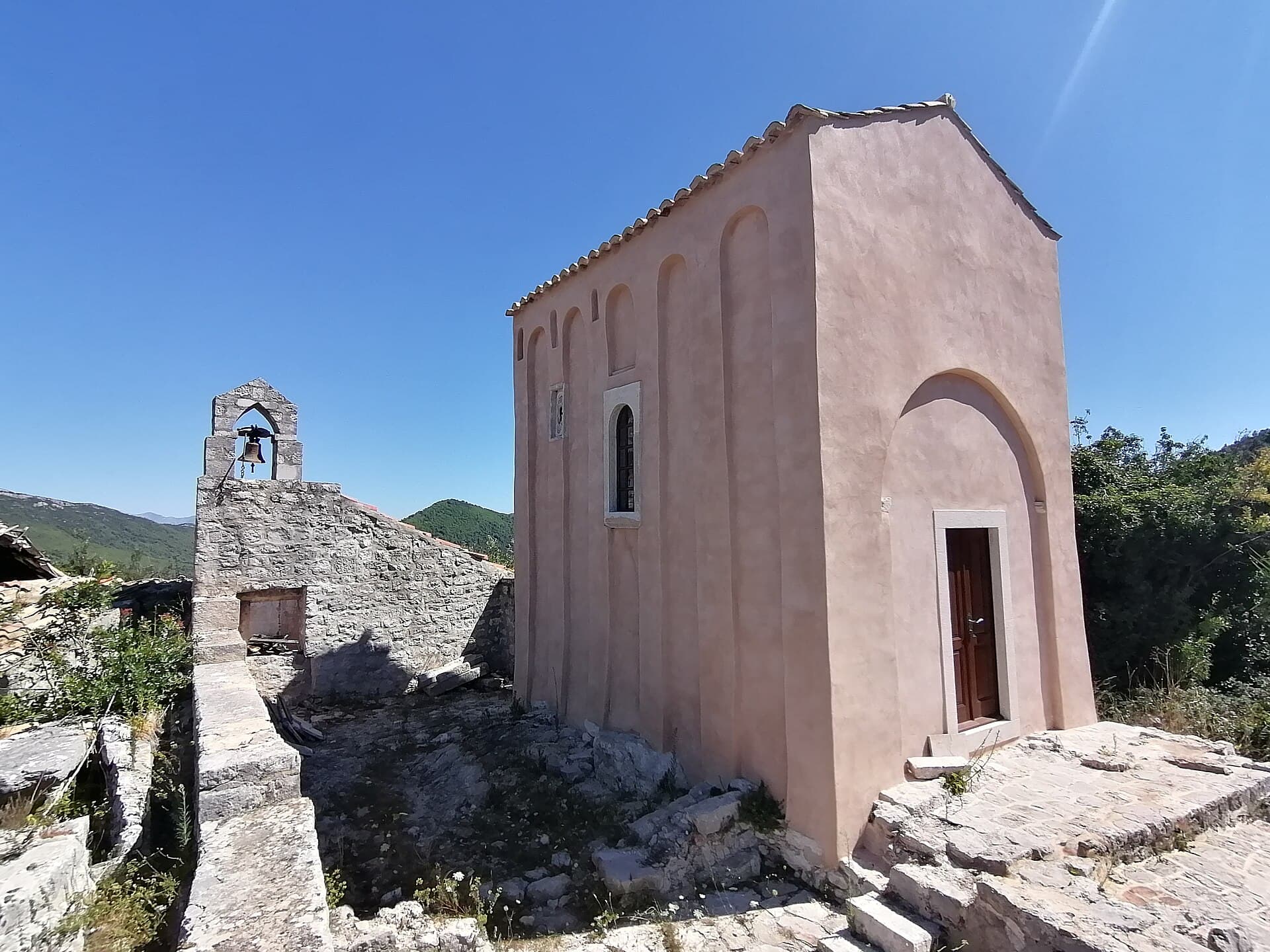
Church of Saint Micheal near Ston
Landmark · Ston
the Church of St. Michael near Ston is one of the oldest churches on Pomorje, which is located not far from today's Ston on Pelješac, and is considered to be the endowment of the first Serbian king, Mihailo Vojislavljevic
16 km from Saplunara
Stays further afield
- Apartment
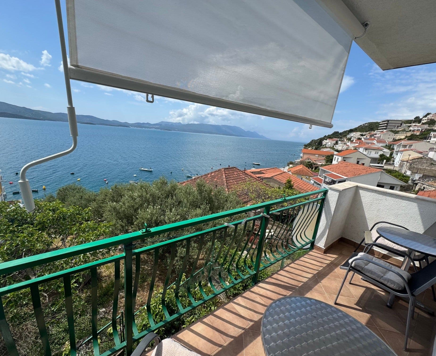 32 km from Saplunara
- Apartment
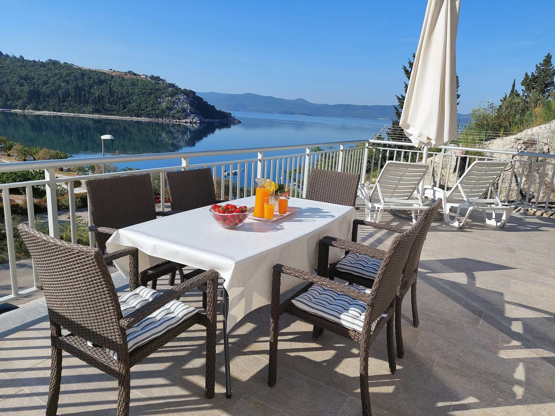 39 km from Saplunara
Apartman Frana DeLux - prvi red do mora, plaža 20 m
Opuzen
up to 6 guests · 2 bedrooms
from €100 / night
Check availability
- Apartment
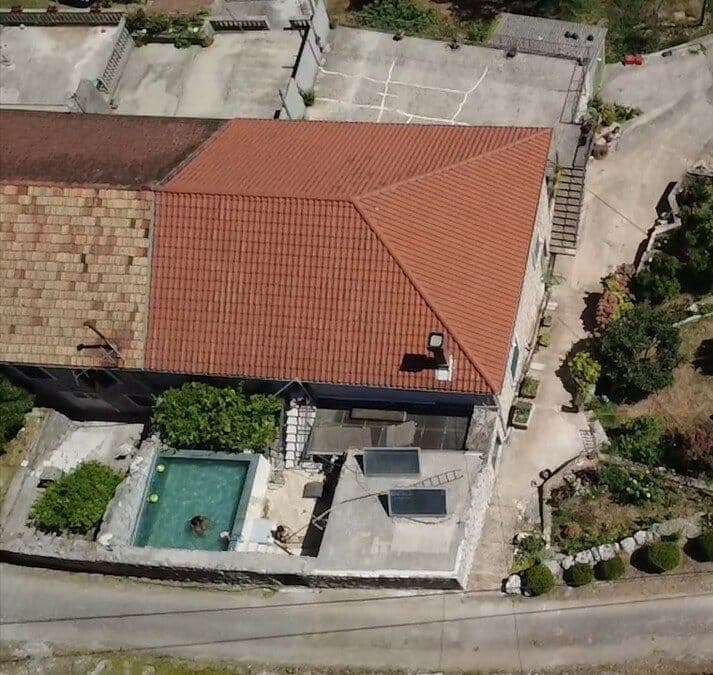 55 km from Saplunara
- Apartment
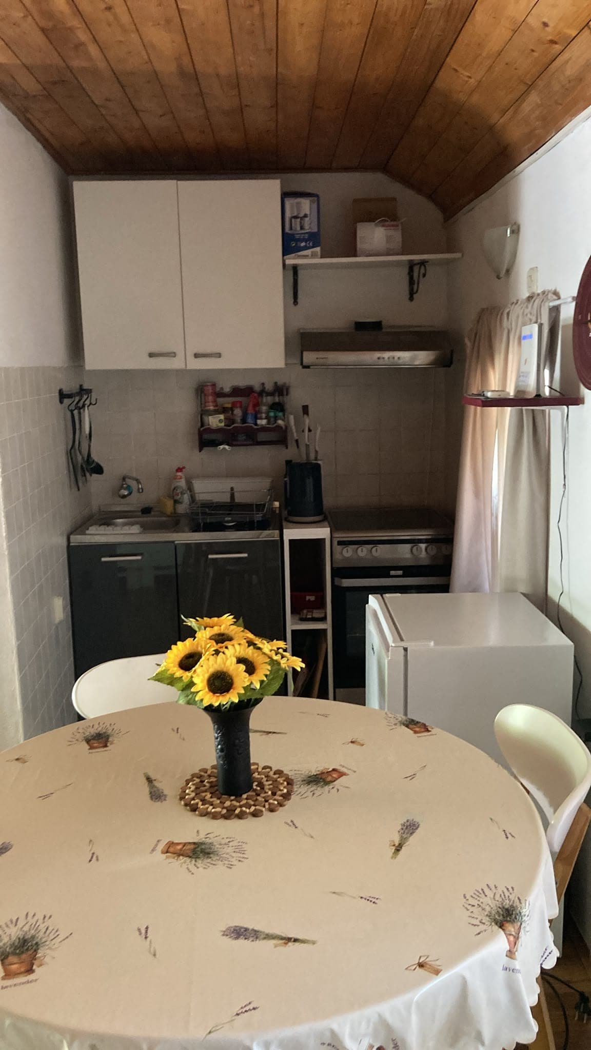 55 km from Saplunara
- Apartment
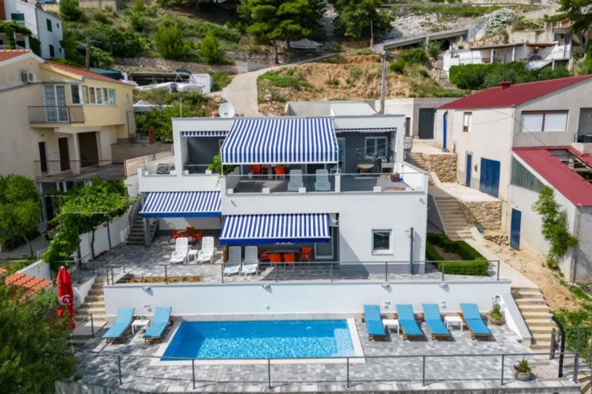 Čelina, Omiš · 114 km from Saplunara
Be the first to list here
Guests looking for this place only see stays nearby for now. No commission, and enquiries come straight to you.
List your accommodation
Beaches
Velika Saplunara is the settlement’s principal beach, with fine sand and food and drink available close to the shore. Mala Saplunara lies farther south-east, around the point where the paved access ends and the quieter pine woodland begins. Blace is separate from the main bay and reached by a gravel continuation through the protected landscape; its narrow sea entrance creates the impression of a lagoon. All three beaches belong to a sensitive coastal-sand system, so visitors should use already worn beach areas and avoid disturbing plants behind the shoreline. Here, sand is not an exception but the defining feature of the destination.
Bathing water quality nearby
- Saplunara · 350 mexcellent
Source: European Environment Agency (EEA); data from Croatian authorities. · bathing water profile
Things to do
Begin the morning with a swim at Velika Saplunara, the beach closest to the settlement and its food outlets. Follow Pinja road toward Mala Saplunara, then continue on gravel to Blace; the complete marked route from Podškoji is 2.4 kilometres long with 71 metres of ascent. At Blace, appreciate the lagoon-like shape without trampling the vegetation behind the sand. Return to Mala Saplunara during the afternoon and reserve dinner at Stermasi. Set aside a separate day for Mljet National Park because the Great and Small Lakes lie at the opposite, western end of the island.
Food and drink
Restaurant Stermasi at Saplunara 2 is the best-documented full-service dining address in the settlement, operating within a family property above the sea. The Mljet Tourist Board also lists MS fast food and the Hippokampus beach bar in Saplunara, concentrating the local choice around the beaches and visitor area. Because Saplunara is small and strongly seasonal, confirm a table at Stermasi and check whether the other outlets are operating before arrival. A broader choice of taverns requires driving toward Okuklje, Prožurska Luka or Sobra.
Tours and activities
AdAd · partner offers: Viator, GetYourGuideThe partner handles booking, payment and support. StayBravo may earn a commission on bookings made through these links.How we choose offersWe choose offers based on the page you are viewing: the partner destination for this place or the nearest one (with its distance), and on a sight page only offers that mention it. We show offers rated at least 4.3 with at least 10 reviews, without multi-day tours or pure transfers, ordered by rating adjusted for the number of reviews and then by the partner’s order. We do not use data about you, and the commission does not affect the order.GetYourGuide offers are selected and ordered by GetYourGuide based on the name of the nearest larger town or national park; we do not influence their selection and do not use data about you.Viator
Nearest destination: Dubrovnik (28 km)
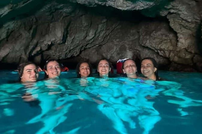
Dubrovnik: 7 Caves & Blue Cave Speedboat Tour (4h) (opens in a new tab)
Explore the famous Blue Cave and hidden sea caves on a small-group speedboat tour (max 8 guests) from Dubrovnik. Enjoy more time for swimming, snorkeling, and photo stops, plus complimentary drinks…
Rated 5 out of 5 · 1,967 reviews· 4 h
Free cancellation
from €60
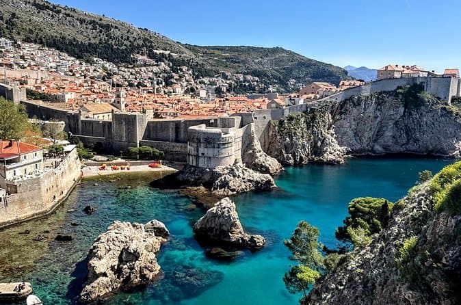
Game of Thrones and Old City Walking Tour in Dubrovnik (opens in a new tab)
Discover Dubrovnik & King's Landing – Two Experiences in One! Explore Dubrovnik's fascinating history and iconic Game of Thrones filming locations on an unforgettable 3-hour walking tour through the…
Rated 5 out of 5 · 965 reviews· 2.5–3 h
Free cancellation
from €33
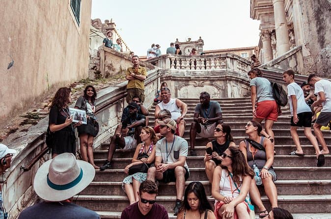
Dubrovnik: Game of Thrones Walking Tour (opens in a new tab)
Meet the real King's Landing! This tour is guided by a licensed tour guide (by the Croatian Ministry of Tourism), fluent in English (or Spanish, depending which language you book) and a Game of…
Rated 5 out of 5 · 1,930 reviews· 2 h
Free cancellation
from €25
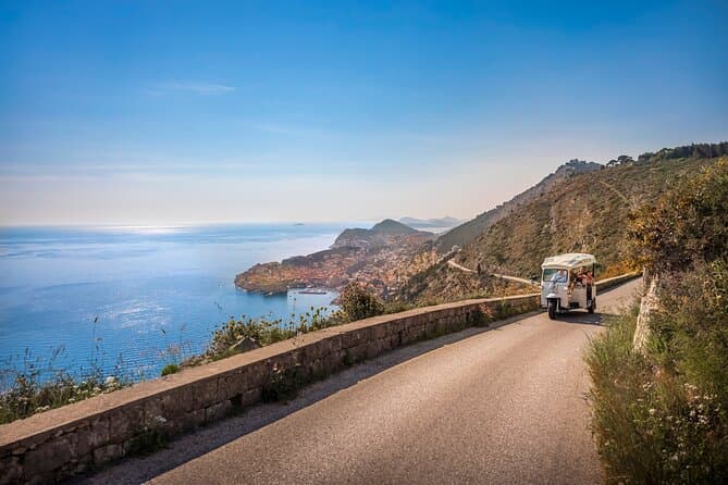
E-Tuk Tuk Tour in Dubrovnik (opens in a new tab)
This tour is ideal for the guests that want to avoid crowds. In this electric Tuk Tuk tour, we will go to the main viewpoints which are not accessible for the bigger vehicles. It is environmentally…
Rated 5 out of 5 · 1,920 reviews· 1.8 h
Free cancellation
from €40
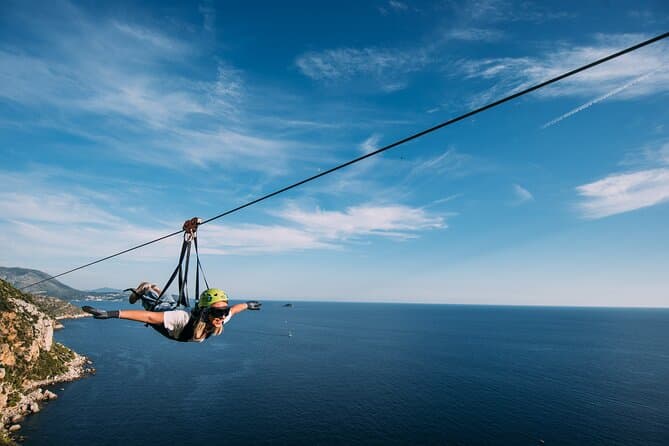
Dubrovnik Superman Zipline: 900m Over Adriatic Sea (opens in a new tab)
If you're searching for adrenaline and unique experience this is an activity for you. This 900 metres long Zipline is located on the Adriatic Sea, only 4 km from the Old town Dubrovnik. The superman…
Rated 5 out of 5 · 692 reviews· 1.3 h
Free cancellation
from €50
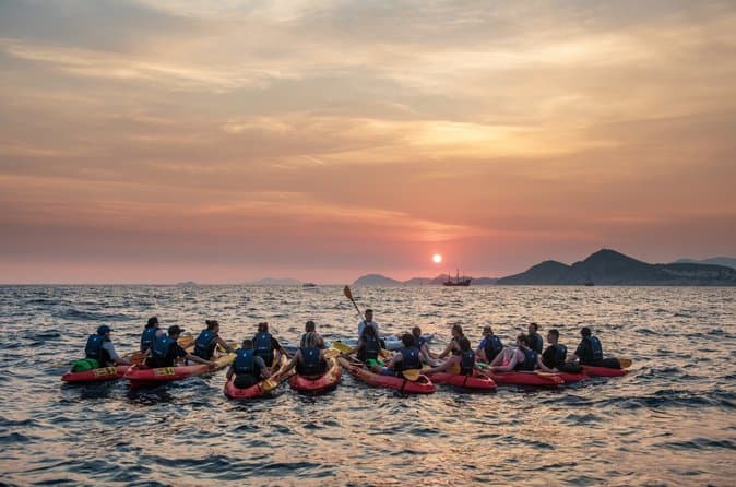
Dubrovnik: Sunset Kayaking & Snorkeling with water &wine (opens in a new tab)
Enjoy Dubrovnik's top summer activity and experience beautiful local natural and historical heritage in this 2 or 3 hour guided sea kayaking tour from the seaside. This tour features informative…
Rated 5 out of 5 · 1,231 reviews· 3 h
Free cancellation
from €40
GetYourGuide · Dubrovnik
We show GetYourGuide offers once you allow their cookies.
Practical information
Practical information
The Mljet Municipal Tourist Board is based at 2 Zabrježe in Babino Polje and publishes information about Saplunara, accommodation and island services. Local provision in Saplunara is limited, so medicines and substantial groceries are best obtained before arrival or in one of Mljet’s larger settlements. Carry water when walking to Blace because the route leaves the food outlets around Velika Saplunara and continues on gravel through the protected landscape. Although outside Mljet National Park, the area is protected as a Significant Landscape for its sand, stone pines and rare coastal vegetation.
Getting there and around
Drivers reach Mljet on Jadrolinija car-ferry route 832 between Prapratno and Sobra; the crossing takes about 45 minutes in 2026. Passengers travelling without a vehicle can also reach Sobra from Dubrovnik on TP Line catamarans 9807 and 9808, subject to the 2026 seasonal timetable. Saplunara lies roughly 16 kilometres by road from Sobra. The island’s eastern bus service links Saplunara with Sobra through Korita, Maranovići and Prožura, although departures must be coordinated with the vessel. Outside local bus times, a taxi or pre-arranged transfer is the simplest option.
Frequently asked questions
Is Saplunara inside Mljet National Park?
No. Saplunara lies outside the national park at Mljet’s south-eastern end, although it is protected as a Significant Landscape.
Which three sandy beaches are near Saplunara?
They are Velika Saplunara, Mala Saplunara and the beach in the nearly enclosed Blace cove.
How long is the ferry from Prapratno to Sobra?
Jadrolinija’s route 832 takes approximately 45 minutes according to its 2026 information.
Can I walk from Saplunara to Blace?
Yes. The marked route from Podškoji through Velika and Mala Saplunara to Blace is 2.4 kilometres long and partly follows gravel.
Where is Restaurant Stermasi?
Stermasi is at Saplunara 2, on a family property overlooking the sea.
Nearby
Saplunara
Open in OpenStreetMap(opens in a new tab)straight-line distance
Related guides
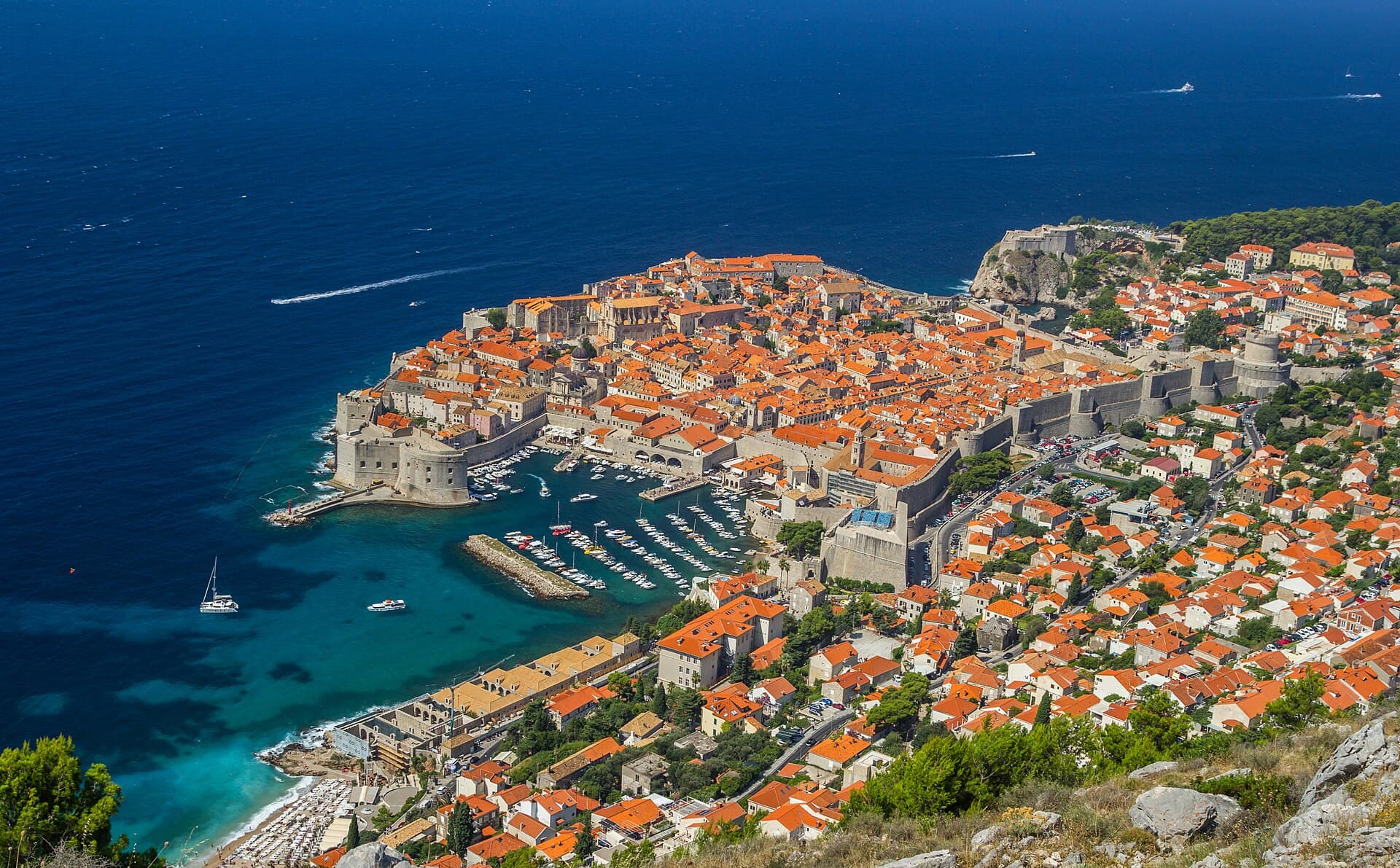
Dubrovnik
Dubrovnik’s historic centre is organised around Stradun, yet its character changes within a few steps of that main street. At the western end beside Pile stand the Large Onofrio Fountain,…
Read the guide

Orebić
Orebić is the main settlement of south-western Pelješac and has been tied to seafaring for centuries. Captains’ houses and gardens along the coastal area recall the period when Orebić…
Read the guide
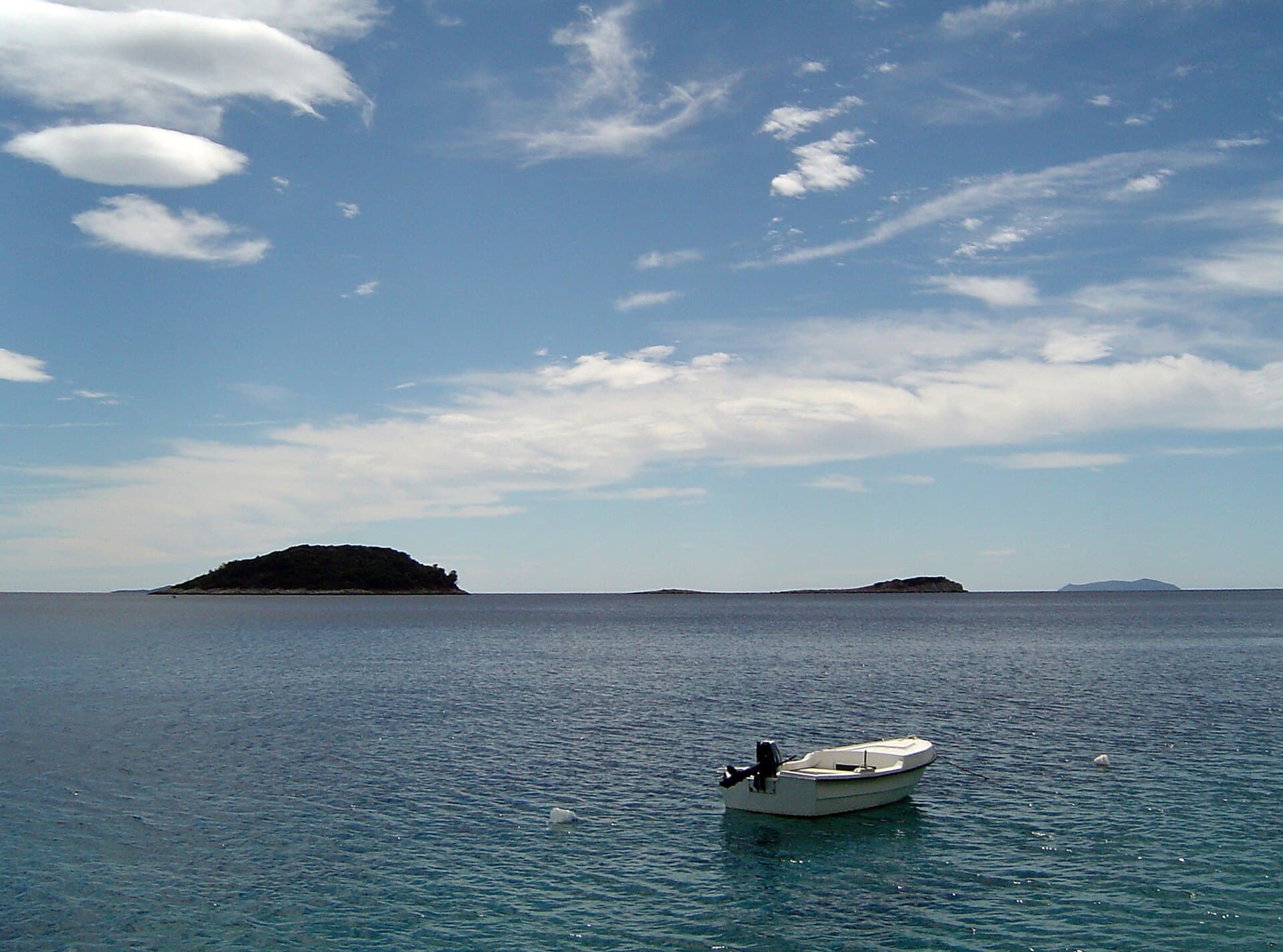
Blato, Korčula
Blato is not a seaside centre but a historic inland settlement in western Korčula’s fertile interior, while its municipality reaches Prigradica on the north coast and Prižba, Gršćica,…
Read the guide
Vela Luka
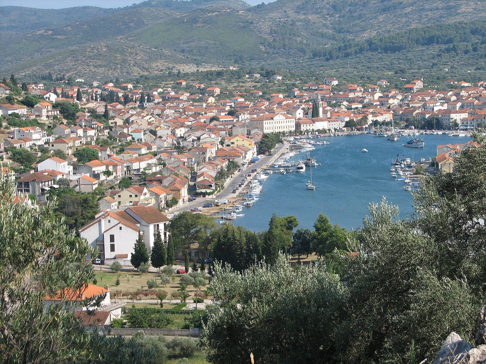
Vela Luka grew at the head of a deep bay on western Korčula, where a long waterfront links the harbour, the centre around St Joseph’s Church and the former shipbuilding area. Its maritime…
Read the guide
Know Saplunara? Correct us
Tell us in your own words what is not accurate. We check right away.Do not enter personal data. Corrections are checked by the StayBravo AI assistant; changes to the description are approved by an editor. Use the form instead
Do you know Saplunara?
Help the guests who come after you.
Help us complete
Nothing is published without an editor’s review.Report illegal content
Photo credits: Korita, Blatina kraj Sobre (Mljet) — Jaganjac (CC BY-SA 3.0) · Suđurađ, Banići — August Dominus (CC BY-SA 3.0) · Broce — Quahadi Añtó 08:29, 19 February 2015 (UTC) (CC BY-SA 3.0) · Zaton Doli — Quahadi Añtó 19:42, 24 December 2014 (UTC) (CC BY-SA 3.0) · Blatina kraj Prožure — August Dominus (CC BY-SA 4.0) · Sjeverna obala od rta Pusta u uvali Sobra do rta Stoba kod uvale Okuklje s otocima i akvatorijem — rene boulay (CC BY-SA 3.0) · Church of Saint Micheal near Ston — Nemanja Todorović Štiplija (CC BY-SA 4.0) · Apartmani Stella — Zvjezdana Bebić (courtesy of the property owner) · Apartman Frana DeLux - prvi red do mora, plaža 20 m — Ivan Mador (courtesy of the property owner) · Apartman Cypress, Apartmani Kamena kuća — Jelena Pecar (courtesy of the property owner) · Villa Sara — Sara Stanic (courtesy of the property owner) · Dubrovnik — Zysko serhii (CC BY-SA 4.0) · Orebić — Quahadi Añtó 11:23, 15 January 2011 (UTC) (CC BY 3.0) · Blato, Korčula — d.graso (CC BY 3.0) · Vela Luka — Wojtkow (CC BY-SA 4.0)