Sobra
About this place
Sobra occupies a long, deeply sheltered bay on Mljet’s northern coast and acts as the island’s principal maritime gateway. It developed as the port of Babino Polje, still connected to that inland settlement by an old village path and a paved road. A small pier built here in 1880 was soon added to the regular shipping route between Trieste and Kotor, establishing Sobra’s enduring role as Mljet’s main harbour. The old waterfront, lined with houses and restaurants, remains in the village itself, while today’s transport terminal at Zaglavac is about three kilometres away; ferries and passenger vessels dock there beside the island’s only petrol station. Sobra also reflects Mljet’s unusual karst hydrology: a nearby blatina, a distinctive wet depression, supplied the settlement with fresh water. In the era of the Dubrovnik Republic, traditional Mljet gajeta boats carried timber from this harbour to Dubrovnik. Modern Sobra consequently combines the intimate waterfront of a former fishing settlement, a naturally protected bay and the busy transport role encountered by many travellers arriving on Mljet by sea.
Sobra is Babino Polje’s old fishing port on Mljet, settled between the world wars. Its distinctive feature is a split layout: the houses of old Sobra are three kilometres from Zaglavac ferry harbour. Sobra itself has the harbourmaster’s office, a shop and restaurants, whereas the tourist office and petrol station are in Zaglavac. A 43-kilometre walking route starts in Sobra, and the old Austrian road beside the settlement runs for one kilometre. This link between Babino Polje’s interior, the old waterfront and the transport terminal makes Sobra a significant gateway to Mljet.
Things to see
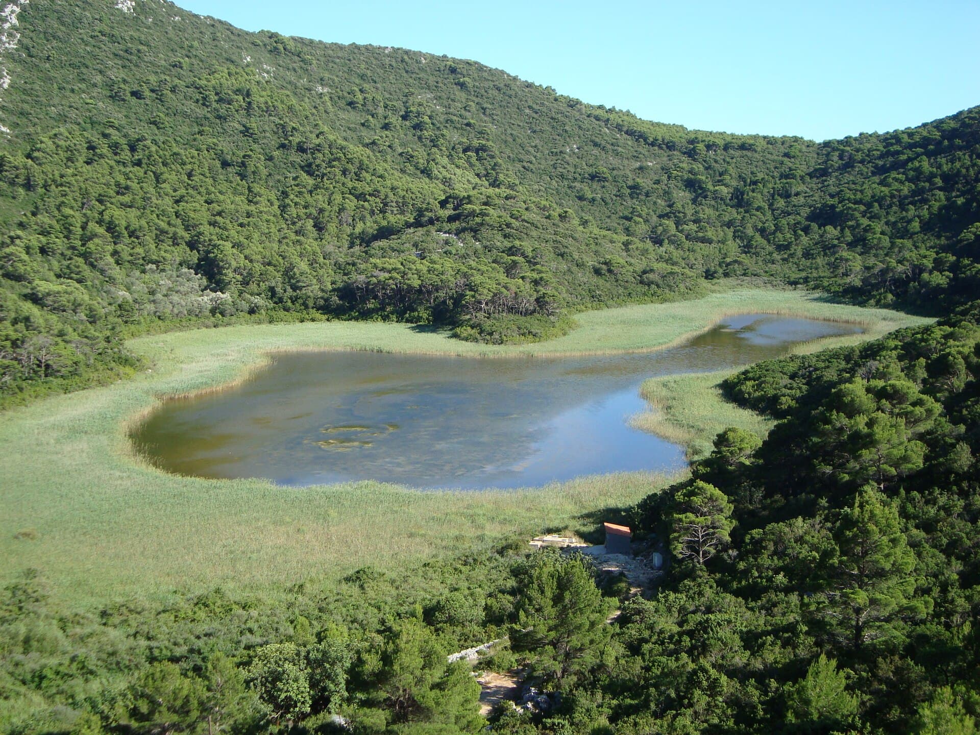

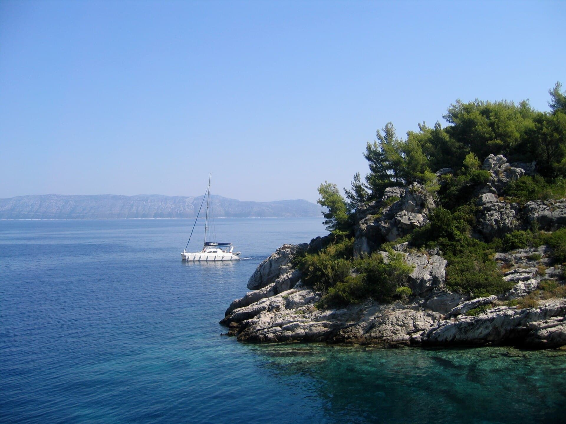
Sjeverna obala od rta Pusta u uvali Sobra do rta Stoba kod uvale Okuklje s otocima i akvatorijem
Nature · Sobra
site of community importance in Croatia

Stays further afield
- Apartment
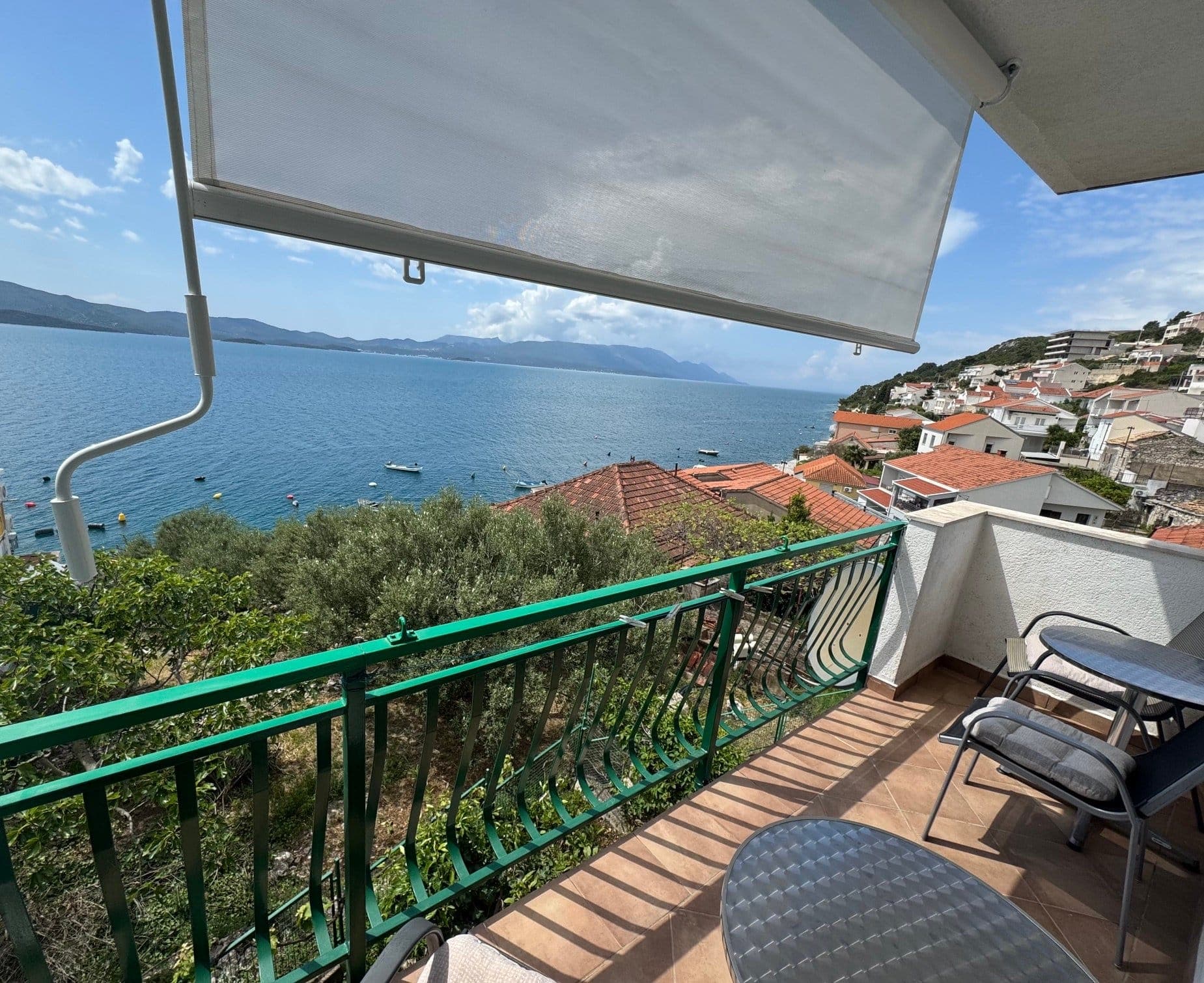 24 km from Sobra
- Apartment
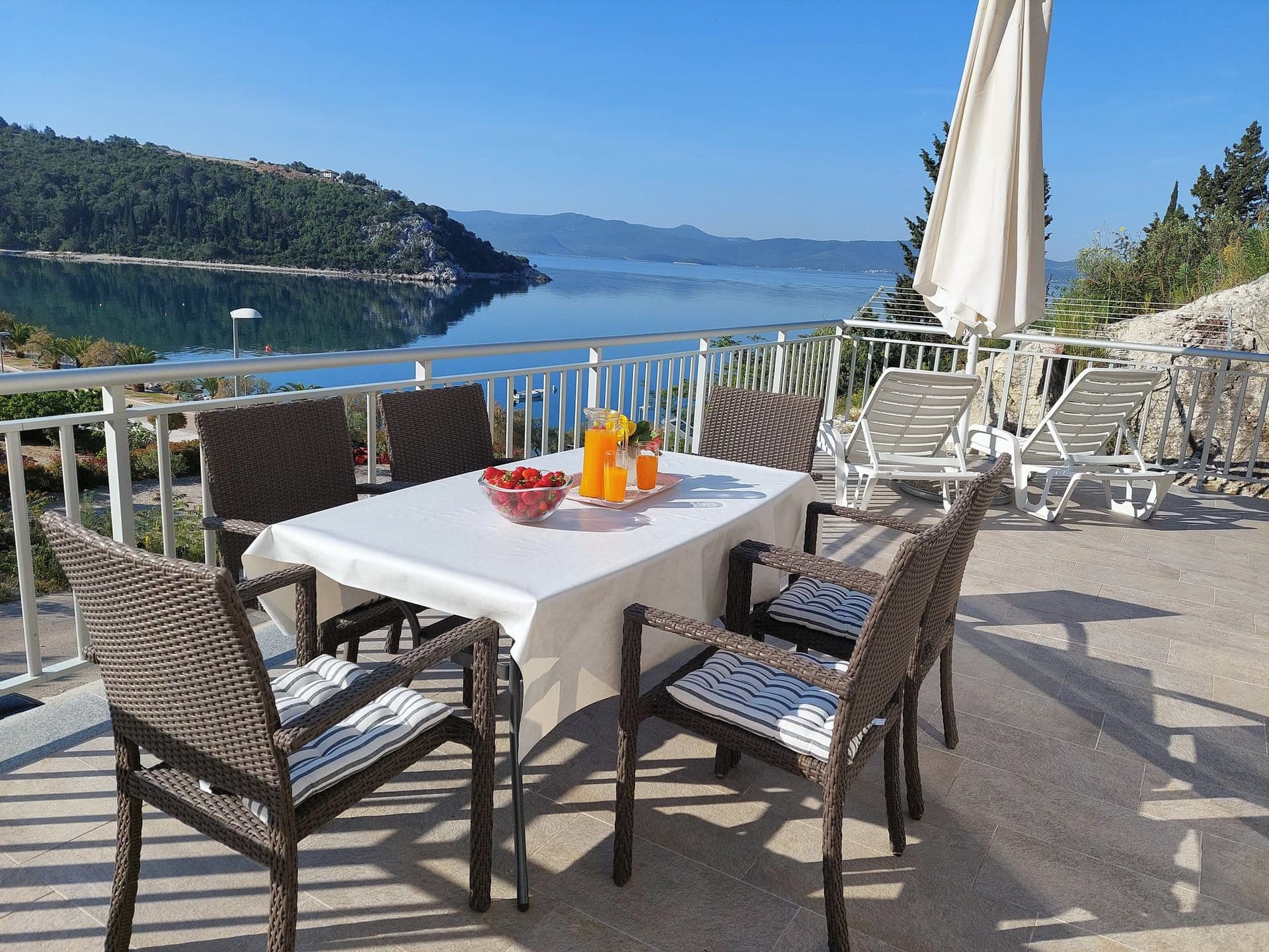 32 km from Sobra
Apartman Frana DeLux - prvi red do mora, plaža 20 m
Opuzen
up to 6 guests · 2 bedrooms
from €100 / night
Check availability
- Apartment
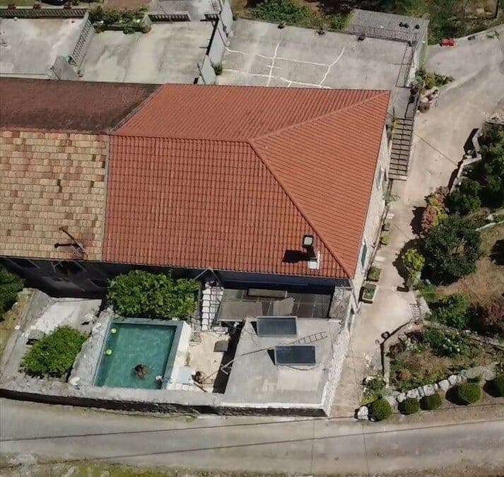 67 km from Sobra
- Apartment
 67 km from Sobra
- Apartment
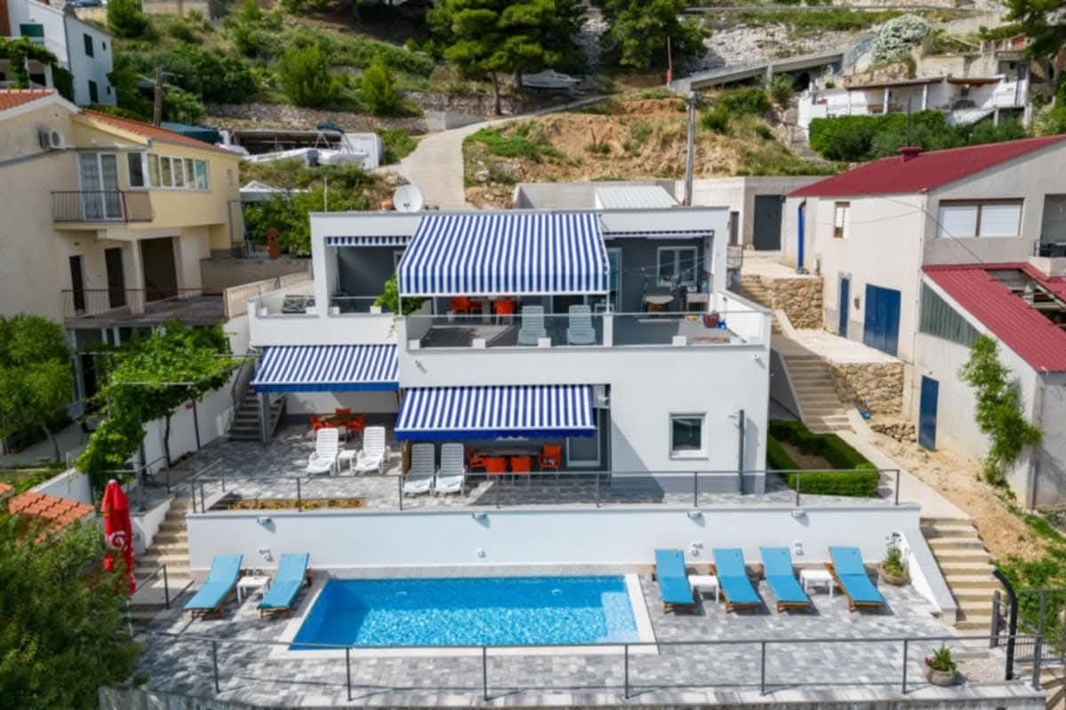 Čelina, Omiš · 103 km from Sobra
Be the first to list here
Guests looking for this place only see stays nearby for now. No commission, and enquiries come straight to you.
List your accommodation
Beaches
Sobra Bay offers rocky entry points and small, secluded pebbly patches, with the inlet particularly appealing to visitors arriving by boat. The Mljet Tourist Board specifically lists Sobra among the island’s boating coves, alongside Okuklje, Prožura and Polače. For a full sandy-beach day, head to southeastern Mljet, where Saplunara and Blace are known for fine sand and stone-pine woodland. At the island’s western end, swimming can accompany a visit to Mljet National Park: pebble beaches are found at Mali most and Polače, while most other park swimming spots are rocky. The park authority identifies Mali most as its most suitable beach for families with young children.
Bathing water quality nearby
- M.Zaglavac · 942 mexcellent
Source: European Environment Agency (EEA); data from Croatian authorities. · bathing water profile
Things to do
Begin in Sobra with a short walk along the waterfront and a view across the deep inlet towards the Mljet Channel. The old path or local road then climbs inland towards Blatina kraj Sobre, the wetland depression above the village. For a longer outing, the official Sobra–Saplunara itinerary crosses eastern Mljet through Prožura, Okuklje, Maranovići and Korita; its full 20-kilometre route is designed for two days and can be split into shorter stages. By car or scooter, combine medieval Prožura and its viewpoint over Prožurska Blatina with the sandy coves around Saplunara. Mljet National Park lies in the opposite direction, at the island’s western end, with practical access through Polače or Pomena.
Tours and activities
AdAd · partner offers: Viator, GetYourGuideThe partner handles booking, payment and support. StayBravo may earn a commission on bookings made through these links.How we choose offersWe choose offers based on the page you are viewing: the partner destination for this place or the nearest one (with its distance), and on a sight page only offers that mention it. We show offers rated at least 4.3 with at least 10 reviews, without multi-day tours or pure transfers, ordered by rating adjusted for the number of reviews and then by the partner’s order. We do not use data about you, and the commission does not affect the order.GetYourGuide offers are selected and ordered by GetYourGuide based on the name of the nearest larger town or national park; we do not influence their selection and do not use data about you.GetYourGuide · Sobra
We show GetYourGuide offers once you allow their cookies.
Viator
Nearest destination: Dubrovnik (40 km)
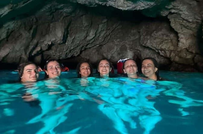
Dubrovnik: 7 Caves & Blue Cave Speedboat Tour (4h) (opens in a new tab)
Explore the famous Blue Cave and hidden sea caves on a small-group speedboat tour (max 8 guests) from Dubrovnik. Enjoy more time for swimming, snorkeling, and photo stops, plus complimentary drinks…
Rated 5 out of 5 · 1,967 reviews· 4 h
Free cancellation
from €60
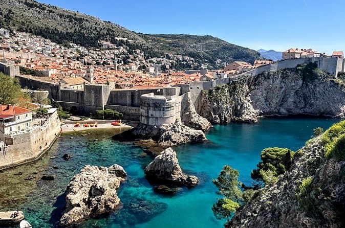
Game of Thrones and Old City Walking Tour in Dubrovnik (opens in a new tab)
Discover Dubrovnik & King's Landing – Two Experiences in One! Explore Dubrovnik's fascinating history and iconic Game of Thrones filming locations on an unforgettable 3-hour walking tour through the…
Rated 5 out of 5 · 965 reviews· 2.5–3 h
Free cancellation
from €33
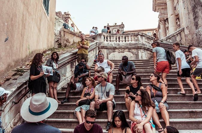
Dubrovnik: Game of Thrones Walking Tour (opens in a new tab)
Meet the real King's Landing! This tour is guided by a licensed tour guide (by the Croatian Ministry of Tourism), fluent in English (or Spanish, depending which language you book) and a Game of…
Rated 5 out of 5 · 1,930 reviews· 2 h
Free cancellation
from €25
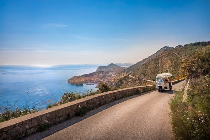
E-Tuk Tuk Tour in Dubrovnik (opens in a new tab)
This tour is ideal for the guests that want to avoid crowds. In this electric Tuk Tuk tour, we will go to the main viewpoints which are not accessible for the bigger vehicles. It is environmentally…
Rated 5 out of 5 · 1,920 reviews· 1.8 h
Free cancellation
from €40
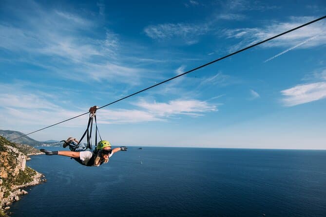
Dubrovnik Superman Zipline: 900m Over Adriatic Sea (opens in a new tab)
If you're searching for adrenaline and unique experience this is an activity for you. This 900 metres long Zipline is located on the Adriatic Sea, only 4 km from the Old town Dubrovnik. The superman…
Rated 5 out of 5 · 692 reviews· 1.3 h
Free cancellation
from €50
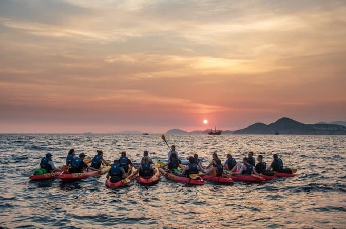
Dubrovnik: Sunset Kayaking & Snorkeling with water &wine (opens in a new tab)
Enjoy Dubrovnik's top summer activity and experience beautiful local natural and historical heritage in this 2 or 3 hour guided sea kayaking tour from the seaside. This tour features informative…
Rated 5 out of 5 · 1,231 reviews· 3 h
Free cancellation
from €40
Practical information
Getting there and around
Cars and foot passengers use Jadrolinija’s year-round 832 Prapratno–Sobra ferry; the 2026 timetable gives a 40-minute crossing. In peak summer, from 3 July to 30 August 2026, it lists six daily departures from Sobra. TP Line’s 9808 service links Sobra with Dubrovnik, Korčula and Ubli from 29 May to 27 September 2026. Both ferry and catamaran use Zaglavac, three kilometres from Sobra’s old waterfront, where the petrol station and tourist office are also located.
Frequently asked questions
Can cars travel from Sobra to the mainland?
Yes. Jadrolinija’s route 832 carries vehicles between Sobra and Prapratno on Pelješac.
Is Sobra inside Mljet National Park?
No. Sobra is outside the national park, whose official entrances are at Pomena, Polače and Vrbovica.
How long is the Prapratno–Sobra ferry crossing?
The 832 ferry crossing takes 40 minutes according to the 2026 timetable.
Where is the petrol station in Sobra?
The petrol station is at Zaglavac ferry harbour.
Is there a catamaran from Sobra to Dubrovnik?
TP Line service 9808 connects Sobra and Dubrovnik from 29 May to 27 September 2026.
Nearby
Sobra
Open in OpenStreetMap(opens in a new tab)straight-line distance
Related guides
Dubrovnik
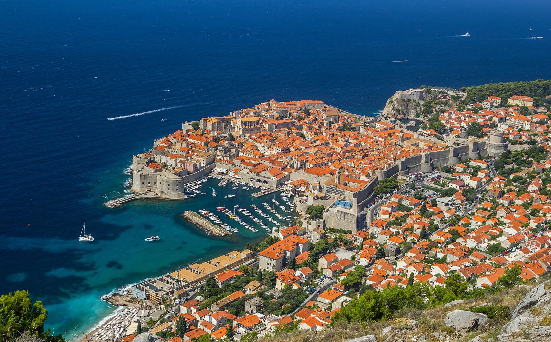
Dubrovnik’s historic centre is organised around Stradun, yet its character changes within a few steps of that main street. At the western end beside Pile stand the Large Onofrio Fountain,…
Read the guide

Orebić
Orebić is the main settlement of south-western Pelješac and has been tied to seafaring for centuries. Captains’ houses and gardens along the coastal area recall the period when Orebić…
Read the guide
Blato, Korčula
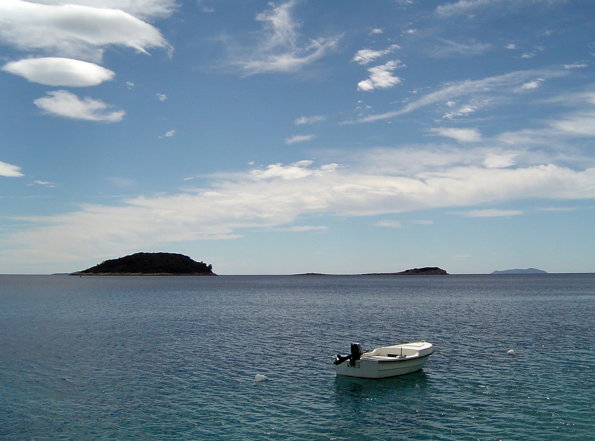
Blato is not a seaside centre but a historic inland settlement in western Korčula’s fertile interior, while its municipality reaches Prigradica on the north coast and Prižba, Gršćica,…
Read the guide
Vela Luka
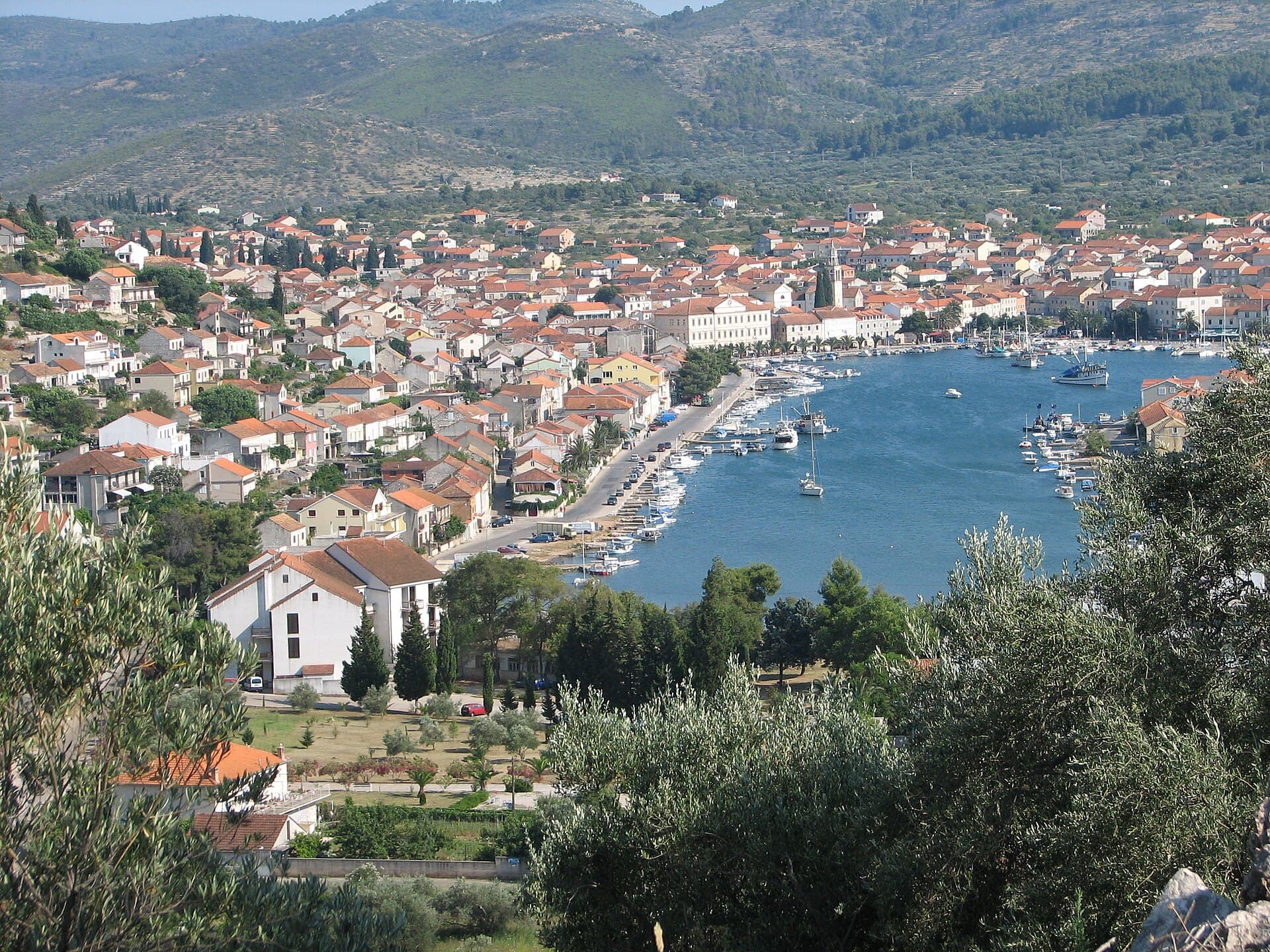
Vela Luka grew at the head of a deep bay on western Korčula, where a long waterfront links the harbour, the centre around St Joseph’s Church and the former shipbuilding area. Its maritime…
Read the guide
Know Sobra? Correct us
Tell us in your own words what is not accurate. We check right away.Do not enter personal data. Corrections are checked by the StayBravo AI assistant; changes to the description are approved by an editor. Use the form instead
Do you know Sobra?
Help the guests who come after you.
Help us complete
Nothing is published without an editor’s review.Report illegal content
Photo credits: Babino Polje, Korita, Blatina kraj Sobre (Mljet) — Jaganjac (CC BY-SA 3.0) · Mljet — Martin Ortmann (CC BY-SA 2.5) · Duba Stonska — Quahadi Añtó 10:27, 22 December 2012 (UTC) (CC BY-SA 3.0) · Metohija — Quahadi Añtó 17:06, 17 February 2012 (UTC) (CC BY-SA 3.0) · Boljenovići, Odysseus Cave — August Dominus (CC BY-SA 3.0) · Sparagovići — Addvisor (CC BY-SA 4.0) · Broce — Quahadi Añtó 08:29, 19 February 2015 (UTC) (CC BY-SA 3.0) · Ston Municipality — Carsten Steger (CC BY-SA 4.0) · Blatina kraj Prožure — August Dominus (CC BY-SA 4.0) · Sjeverna obala od rta Pusta u uvali Sobra do rta Stoba kod uvale Okuklje s otocima i akvatorijem — rene boulay (CC BY-SA 3.0) · Apartmani Stella — Zvjezdana Bebić (courtesy of the property owner) · Apartman Frana DeLux - prvi red do mora, plaža 20 m — Ivan Mador (courtesy of the property owner) · Apartman Cypress, Apartmani Kamena kuća — Jelena Pecar (courtesy of the property owner) · Villa Sara — Sara Stanic (courtesy of the property owner) · Dubrovnik — Zysko serhii (CC BY-SA 4.0) · Orebić — Quahadi Añtó 11:23, 15 January 2011 (UTC) (CC BY 3.0) · Blato, Korčula — d.graso (CC BY 3.0) · Vela Luka — Wojtkow (CC BY-SA 4.0)