Babino Polje
About this place
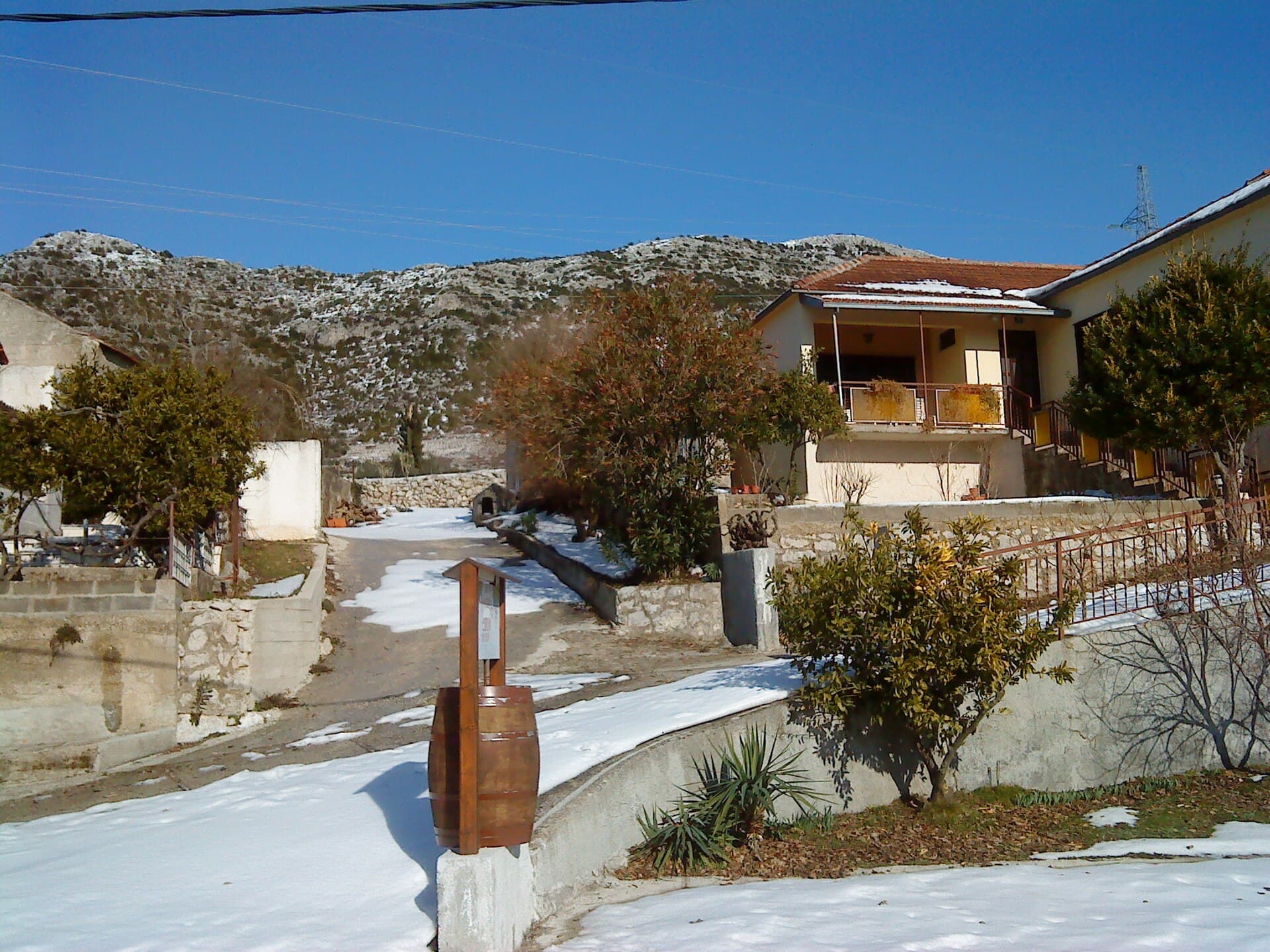
Babino Polje stretches for roughly four kilometres above Mljet’s fertile central field, its long ribbon of houses divided among Zabrežje, Sršenovići and Zadublje. During the Dubrovnik Republic it served as the island’s administrative centre, a role still legible in the 16th-century Rector’s Palace and the 15th-century Church of St Blaise. Its signature excursion heads south through olive groves to Odysseus Cave. The final descent towards the sea opening is steep enough to require sturdy shoes, while in summer swimmers and small boats can enter through a marine tunnel about 20 metres long. For an easier beach day, the pebble cove of Sutmiholjska lies on the island’s southern shore. Rather than a waterfront resort, Babino Polje works as Mljet’s practical inland hub, with a grocery shop, post office, pharmacy, medical clinic and dental service. The D120 road runs through the settlement, making a car particularly useful for trips from Sobra ferry port, west towards Mljet National Park or east to Saplunara’s sandy beaches.
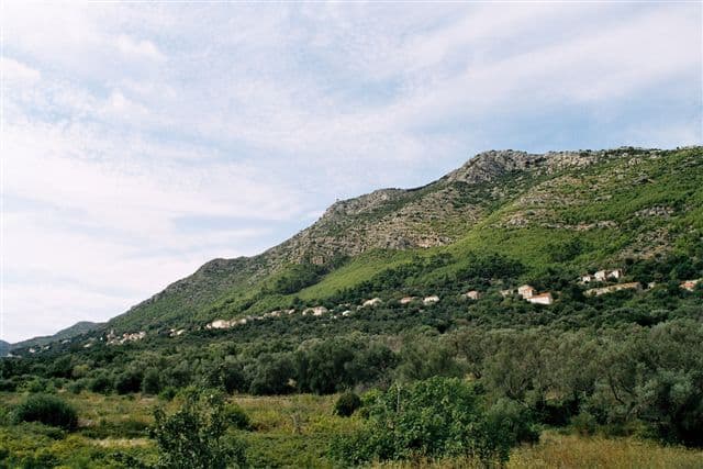
Babino Polje, Mljet’s largest settlement, sits on a slope above its namesake karst plain at roughly 145 metres above sea level. Its fertile fields, olive groves and vineyards shaped a community that became the island’s administrative centre after Dubrovnik took control in 1410. That history is tangible at the Duke’s Palace, built in 1554 for Mljet’s rector. The village also preserves the 15th-century Church of St Blaise and the parish church of St Paul the Apostle, completed in 1935. The road to the ferry port at Sobra is about six kilometres long.
Stays nearby
 Apartment
Apartmeni Klenovica.eu
Klenovica
Klenovica, 341 km from Babino Polje
up to 4 guests · 1 bedroom
The host confirms the exact price for your dates and availability.
Things to see
Odysseus Cave is a sea-filled chamber on Mljet’s southern coast, entered from offshore through a tunnel roughly 20 metres long; local fishermen once used it to shelter boats and gear. Within the village, the principal landmarks are the 16th-century Rector’s Palace and the 15th-century Church of St Blaise. Mljet’s cycling map also identifies the 11th-century Church of St Pancras and the 12th-century Church of St Andrew. Together they reveal Babino Polje as the island’s former administrative and religious centre, not merely the trailhead for the famous cave.

Things to do
Begin at the 1554 Duke’s Palace, whose ‘Biskup’ ethnographic collection brings together Mljet household objects, photographs and family memorabilia. Continue to the former parish church of St Blaise in the field beside the historic Sotnica administrative estate. For Odysseus Cave, take the signed spur from Mljet’s cycling route; a narrower concrete path runs for 400 metres from the turn-off. The cave makes most sense as a sea-level experience, reached by swimming or a small boat: a natural tunnel connects its water-filled floor to the open sea, and calm conditions are essential.
Practical information
Practical information
Babino Polje contains a grocery shop, pharmacy, post office, medical clinic and dental practice, making it the main service point in central Mljet. The Mljet Municipality Tourist Board is based locally at Zabrežje 2. Anyone walking to Odysseus Cave should carry water and wear trainers or hiking shoes; the tourist board describes a route of about one kilometre, with the uphill return taking considerably longer than the outward leg. Visitors staying in remote coves should plan daytime trips here for supplies or healthcare, while fuel requires a separate drive elsewhere on the island.
Getting there and around
Babino Polje has no ferry terminal of its own. The principal nearby gateway is Sobra, served in 2026 by Jadrolinija’s vehicle ferry route 832 from Prapratno on the Pelješac peninsula. From Sobra, the journey continues along the D120, making a car the most practical option for accommodation outside the village centre and for reaching Sutmiholjska. Travellers without a vehicle need to coordinate the island bus with their sailing because frequency varies seasonally. Babino Polje sits centrally on Mljet’s main road, between the national park in the west and Saplunara in the east.
Frequently asked questions
How do you reach Odysseus Cave from Babino Polje?
Follow the marked route through the olive groves; the final roughly 400 metres are on a footpath ending at a steep coastal approach.
Can you swim into Odysseus Cave?
In calm summer conditions, strong swimmers can enter through the roughly 20-metre sea tunnel, although the land approach remains steep and demanding.
Where can you swim near Babino Polje?
For a conventional beach day, choose the pebble cove of Sutmiholjska on Mljet’s southern coast.
Does Babino Polje have a pharmacy?
The village has a pharmacy, medical and dental clinics, as well as a grocery shop and post office.
Nearby
Mljet
Village · Mljet

Related guides

Dubrovnik
Dubrovnik’s historic centre is organised around Stradun, yet its character changes within a few steps of that main street. At the western end beside Pile stand the Large Onofrio Fountain,…
Read the guide

Help improve this page
Spot something missing or wrong? Suggest a correction, add your photo or report a problem. Editors review every suggestion before it is published.
Photo credits
- Babino Polje — Jaganjac · CC BY-SA 3.0 · Wikimedia Commons
- Mljet — Martin Ortmann · CC BY-SA 2.5 · Wikimedia Commons
- Sparagovići — Addvisor · CC BY-SA 4.0 · Wikimedia Commons
- Metohija — Quahadi Añtó 17:06, 17 February 2012 (UTC) · CC BY-SA 3.0 · Wikimedia Commons
- Boljenovići,