Srednje Selo, Šolta
About this place
Srednje Selo occupies a gentle slope above Šolta’s Sridnje polje, roughly 1.3 km from Grohote and 1.5 km from Donje Selo. Although the island road passes close by, its core remains distinctly rural: irregular stone lanes thread between tightly grouped houses, Purtića dvor, Lukin dvor and the former village school. The Croatian heritage register protects this historic core as the Rural Cultural and Historical Ensemble of Srednje Selo, reference Z-5993. A document from 1446 records the settlement as Villa de medio, while the island tourist board traces its formation to the Middle Ages rather than the Roman-era origins associated with several other Šolta villages. Its position above the cultivated plain reflects generations of local farming, winegrowing and olive cultivation. The 2021 census counted 102 residents, making Srednje Selo the smallest settlement in the municipality. A walking and cycling route runs from Grohote through the village and Donje Selo towards Maslinica, linking its stone courtyards with Šolta’s western coast.
Srednje Selo is a rural stone-built core on the northern edge of Šolta’s central field, between Grohote and Donje Selo. The Šolta Tourist Board dates its origins to the Middle Ages and stresses that it lacks the ancient continuity found in nearby island settlements. Closely packed stone houses, irregular lanes and the abandoned school recall a former community of olive growers, winegrowers and field workers. Purtića dvor and Lukin dvor have particular townscape value, while the municipal heritage list also identifies Vrtlina village square, the Confraternity House and the parish residence. With 102 residents in 2021, Srednje Selo was Šolta’s smallest settlement.
Things to see
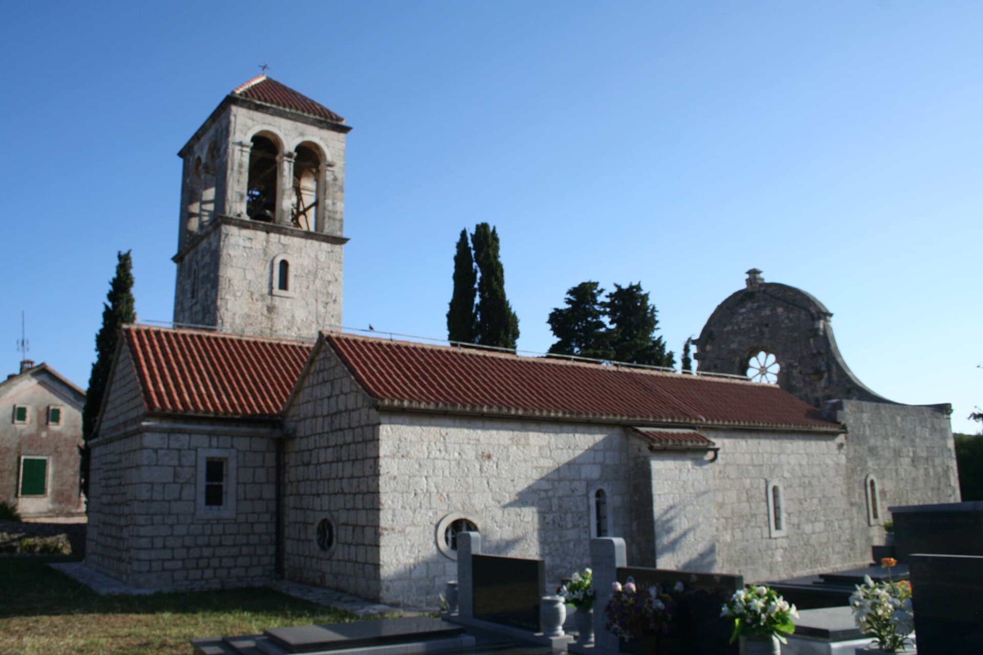
Church of St. George in Drvenik Veli
Landmark · Drvenik Veliki
The parish Church of St George with its parish houses is a protected sacred complex in Drvenik Veli.
12 km from Srednje Selo, Šolta
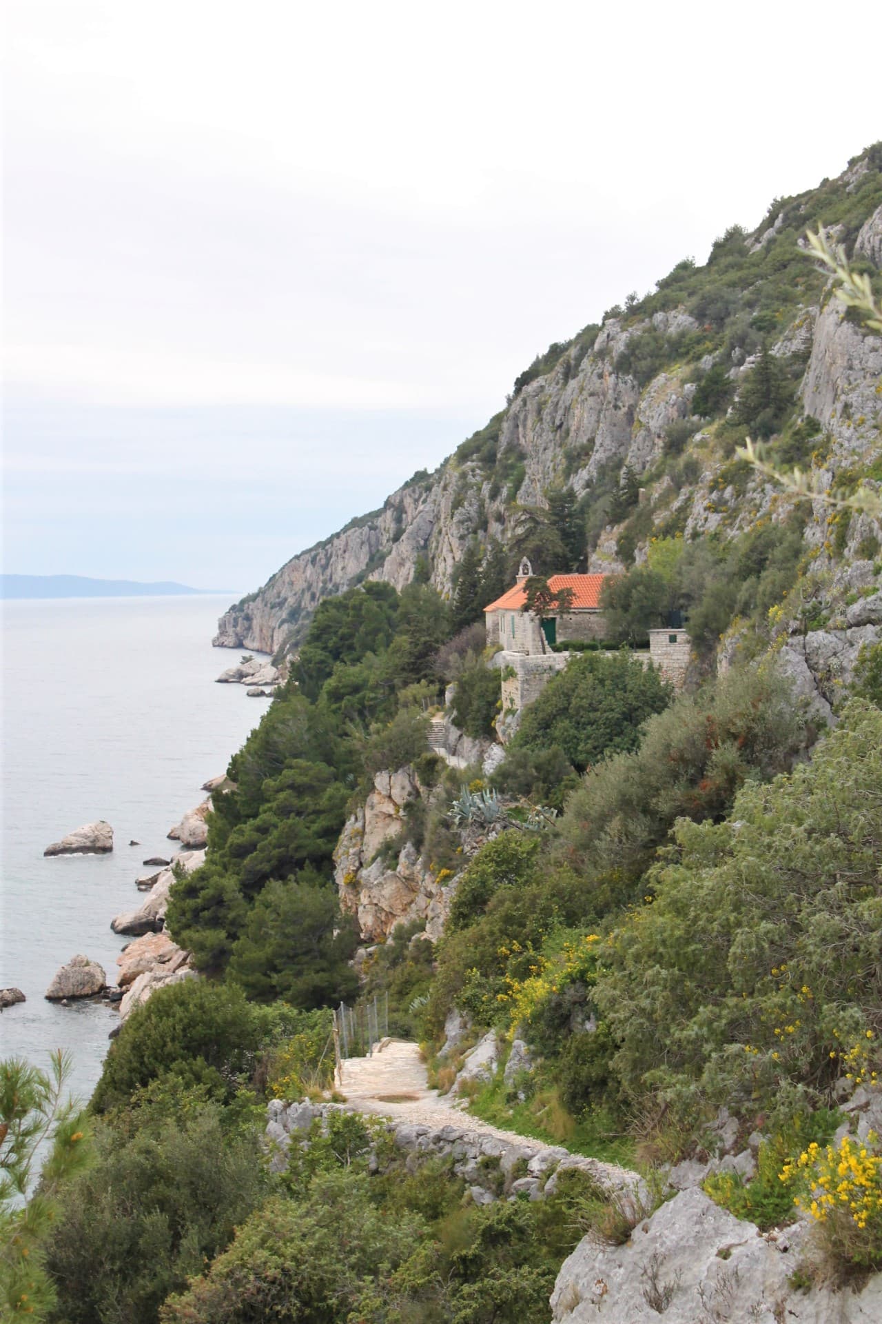
Church of Our Lady of Prizidnice
Landmark · Slatine
church in Slatine on Čiovo island, Split, Croatia
12 km from Srednje Selo, Šolta

Crkva-tvrđava na Mrdulji
Landmark · Milna
The church-fortress on Mrduja is a ruined Gothic chapel with a lookout platform on an islet between Brač and Šolta.
13 km from Srednje Selo, Šolta
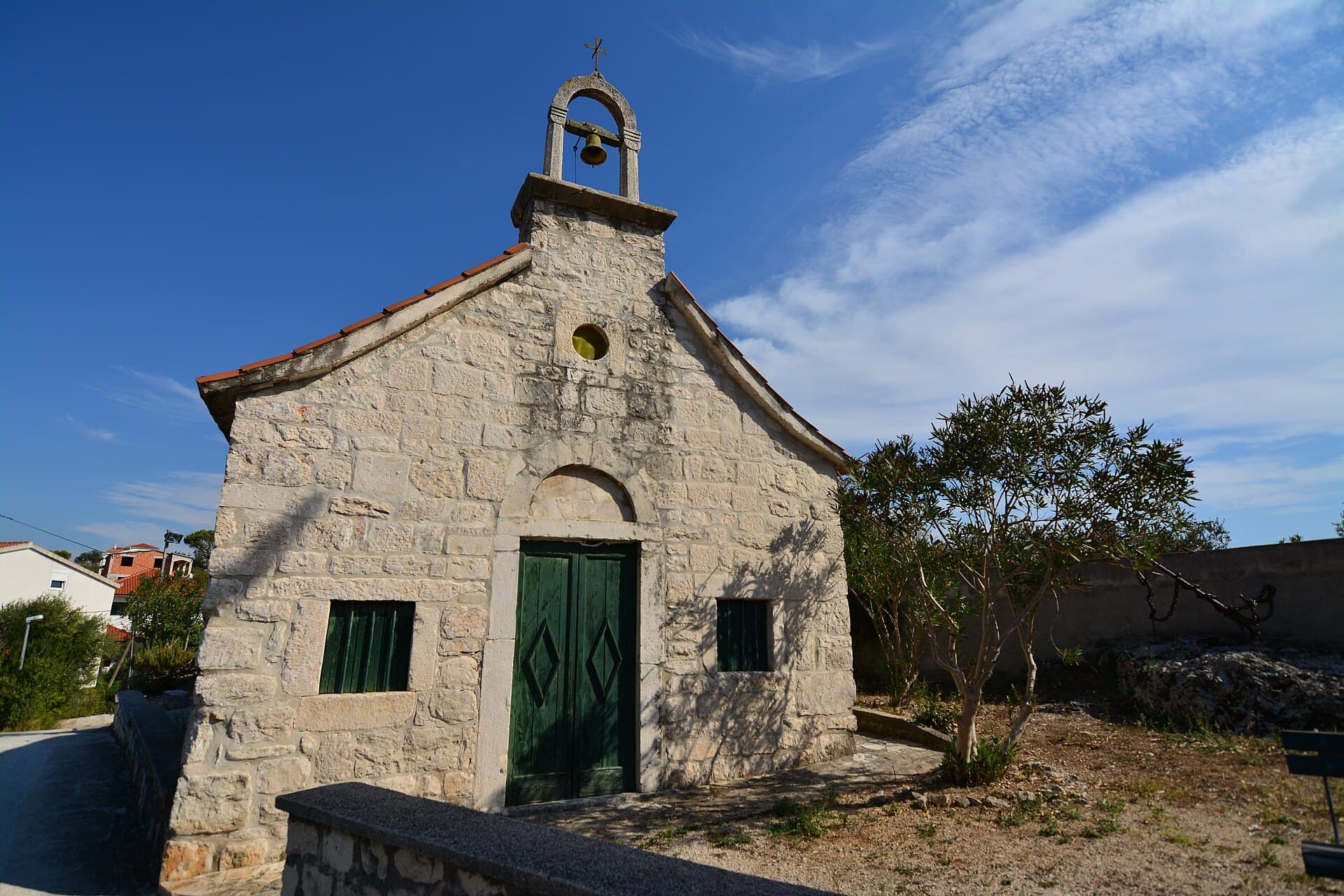
Crkva sv. Andrije u Trogiru
Landmark · Trogir
Church crowning Balan hill preserves Roman tradition with a 7th-century altar.
13 km from Srednje Selo, Šolta
Stays further afield
- Apartment
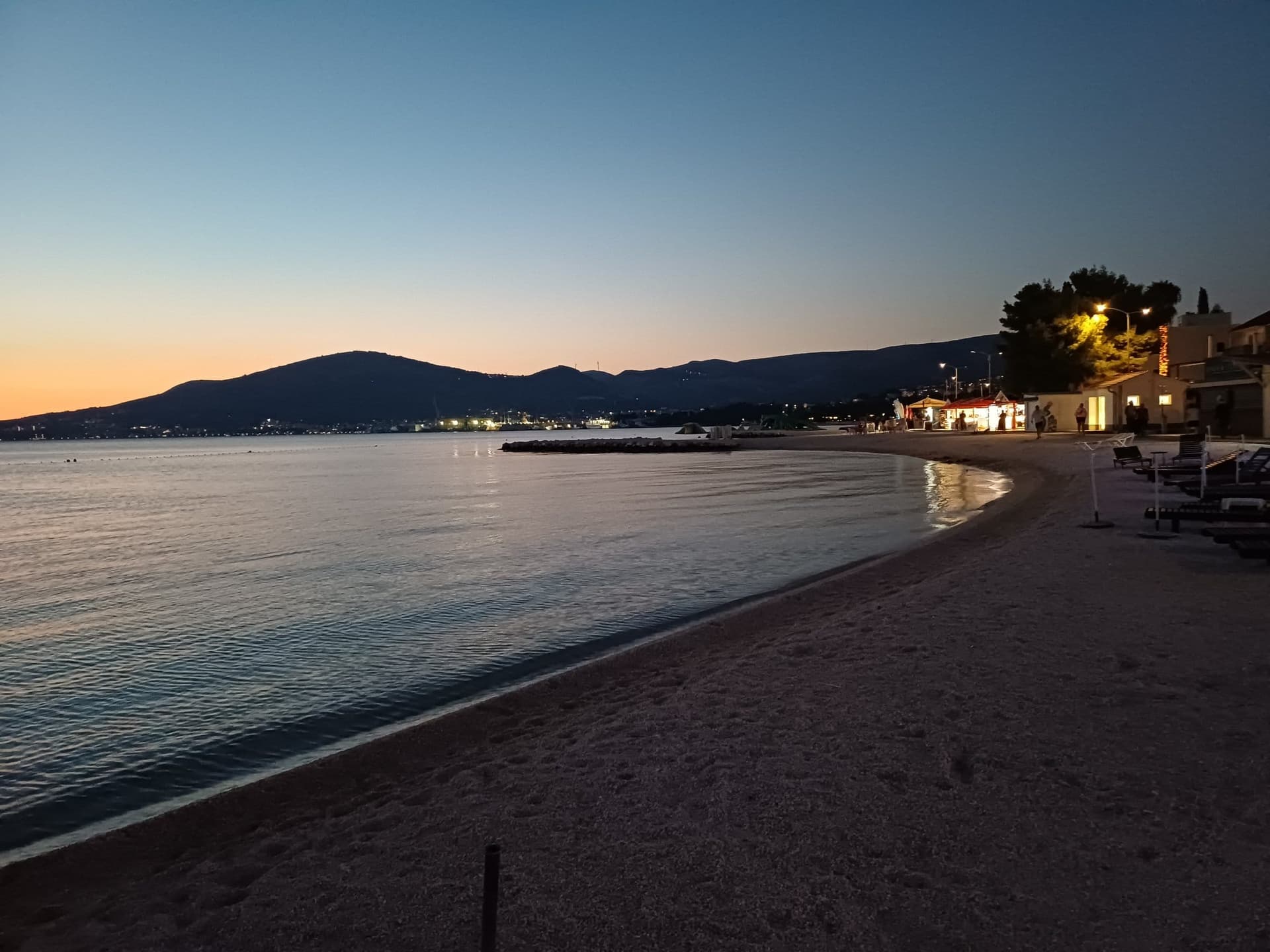 11 km from Srednje Selo, Šolta
- Apartment
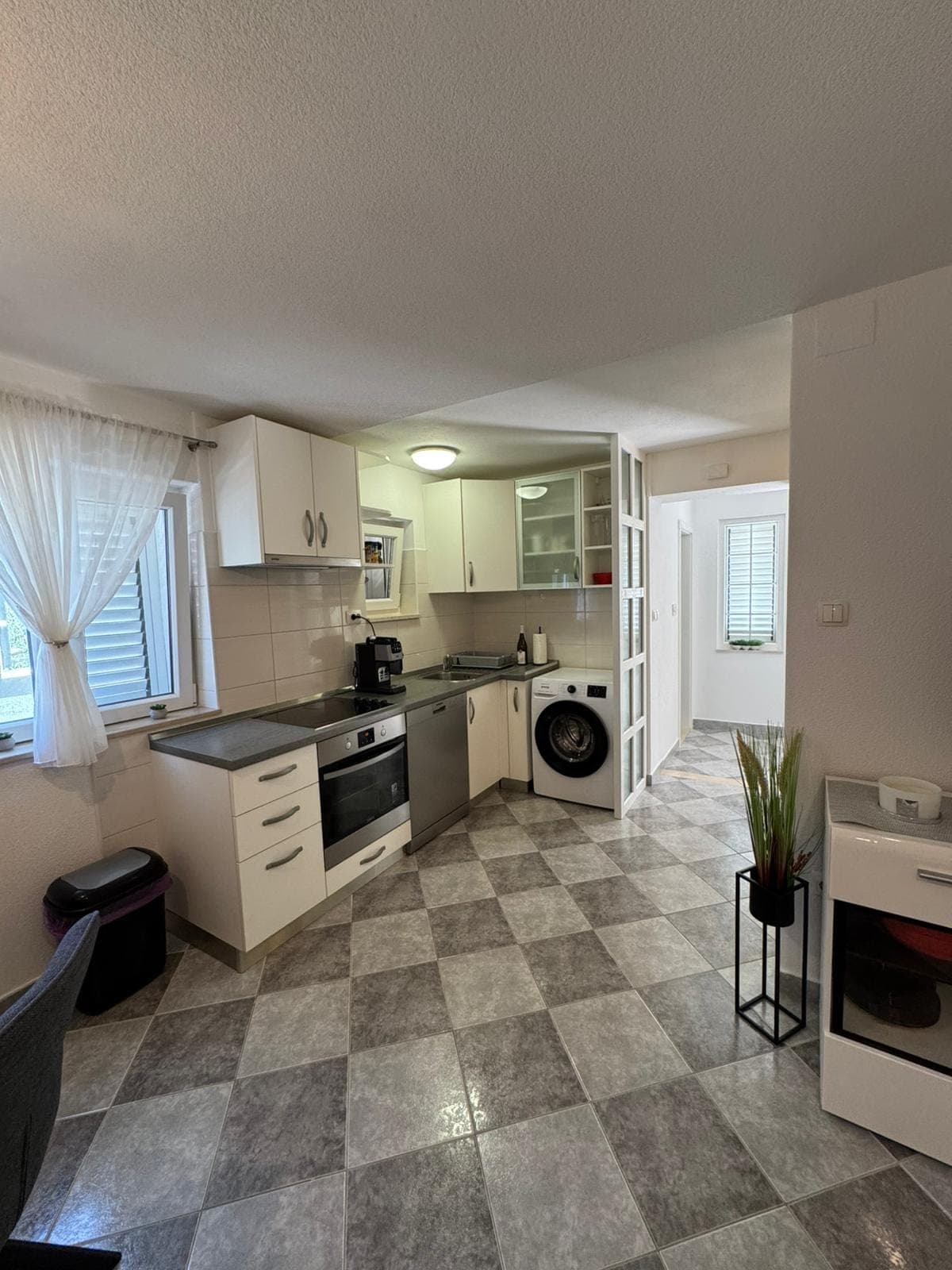 11 km from Srednje Selo, Šolta
- Other stay
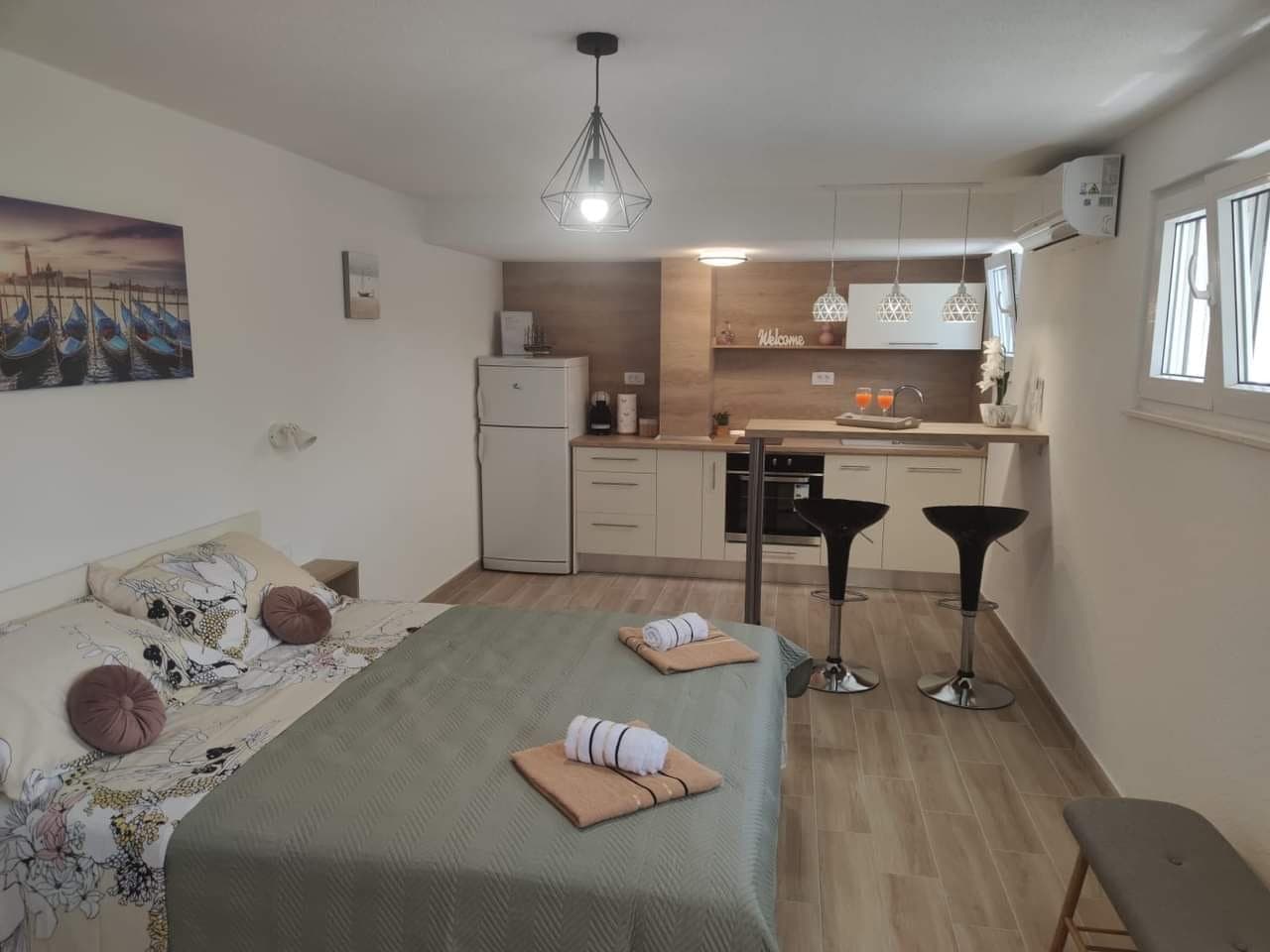 11 km from Srednje Selo, Šolta
- Apartment
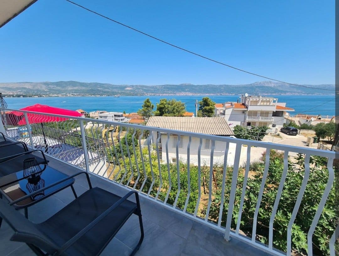 12 km from Srednje Selo, Šolta
- Apartment
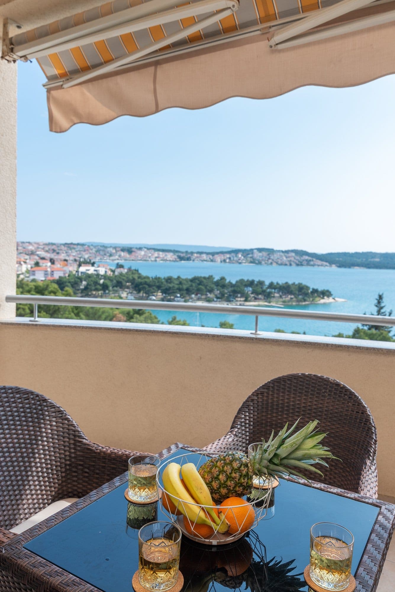 13 km from Srednje Selo, Šolta
Be the first to list here
Guests looking for this place only see stays nearby for now. No commission, and enquiries come straight to you.
List your accommodation
Beaches
Srednje Selo has no shoreline of its own, so swimming means descending towards coves on western and northern Šolta. The most direct option runs through neighbouring Donje Selo to Donja Krušica, a former fishing harbour where old stone houses stand beside the water; its narrow access road can be followed by car, bicycle or on foot. Donja Krušica has no cafés or restaurants, a useful detail when setting out from Srednje Selo. Continuing west to Maslinica brings a maintained pebble beach overlooking the seven islets outside its harbour. Between Donja Krušica and Maslinica lies Šipkova, identified by the Šolta tourist board as the island’s only genuinely sandy beach and reachable overland from the island road.
Bathing water quality nearby
- Rogač · 2.1 kmexcellent
Source: European Environment Agency (EEA); data from Croatian authorities. · bathing water profile
Things to do
Enter Srednje Selo through its irregular stone lanes and look for Purtića dvor, Lukin dvor and Vrtlina square, three defining features of its vernacular fabric. The abandoned old school adds evidence of the period when more farming families lived here. For a longer outing, follow the tourist board’s cycling and walking direction from Grohote through Srednje Selo, then continue via Donje Selo towards Maslinica. Along this route, views open across the field once worked by local olive growers and winegrowers, while the compact stone core remains the settlement’s principal sight.
Tours and activities
AdAd · partner offers: Viator, GetYourGuideThe partner handles booking, payment and support. StayBravo may earn a commission on bookings made through these links.How we choose offersWe choose offers based on the page you are viewing: the partner destination for this place or the nearest one (with its distance), and on a sight page only offers that mention it. We show offers rated at least 4.3 with at least 10 reviews, without multi-day tours or pure transfers, ordered by rating adjusted for the number of reviews and then by the partner’s order. We do not use data about you, and the commission does not affect the order.GetYourGuide offers are selected and ordered by GetYourGuide based on the name of the nearest larger town or national park; we do not influence their selection and do not use data about you.Viator
Nearest destination: Ciovo Island (11 km)
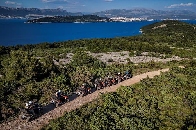
From Split & Trogir: ATV Quad Tour on Island Čiovo (opens in a new tab)
Discover the unparalleled beauty of Croatian seaside landscapes. Embark on an exciting ATV quad tour and explore the stunning island of Čiovo. Enjoy a two-hour or three-hour quad adventure along the…
Rated 5 out of 5 · 26 reviews· 2.5 h
Free cancellation
from €75
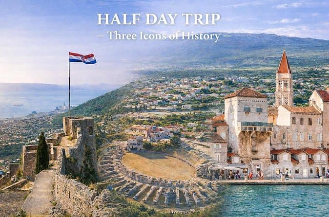
Split Private Tour: Klis, Salona & Trogir - Half a Day (opens in a new tab)
See more in half a day than most visitors see in two. This private tour connects panoramic Klis Fortress, the ancient Roman ruins of Salona, and the UNESCO-listed town of Trogir in a smooth…
Rated 5 out of 5 · 18 reviews· 4–5 h
Free cancellation
from €350
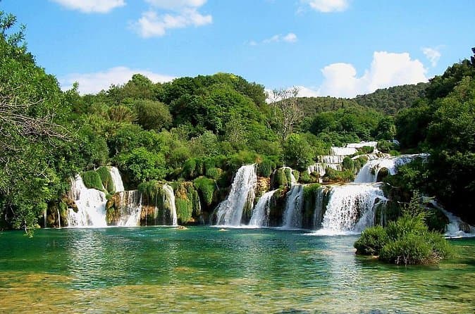
From Trogir, Seget, Okrug: Krka Waterfalls & Šibenik Culture Tour (opens in a new tab)
Discover the breathtaking beauty of Krka Waterfalls National Park, the rich history of Šibenik, and the charm of Primošten on a full-day adventure designed for smaller groups, ensuring a more…
Rated 4.9 out of 5 · 18 reviews· 8 h
Free cancellation
from €65
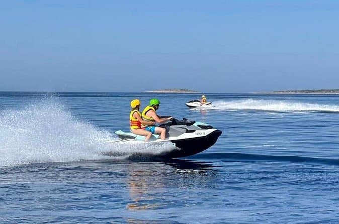
Trogir: Jet Ski Safari with Snorkeling and Blue Lagoon (opens in a new tab)
Perfect for guests staying in Trogir and nearby, this guided jet ski safari combines adrenaline, sightseeing, swimming, and snorkeling along the stunning Dalmatian coastline. Ride a brand-new…
Rated 5 out of 5 · 12 reviews· 2 h
Free cancellation
from €145
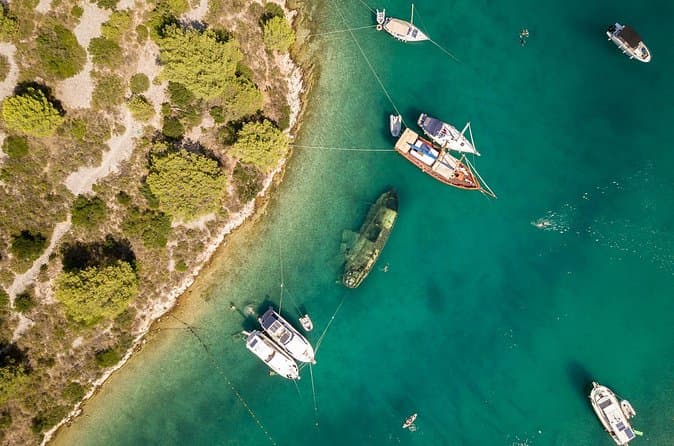
Private Boat Tour to Brac and Solta islands: Non-Touristy Itinerary (opens in a new tab)
This private type of boat tour is perfect for people who like to avoid the crowds and prefer a more quiet and relaxing boat trip. Designed for a group of friends or family who want to enjoy…
Rated 4.9 out of 5 · 15 reviews· 9 h
Free cancellation
from €820
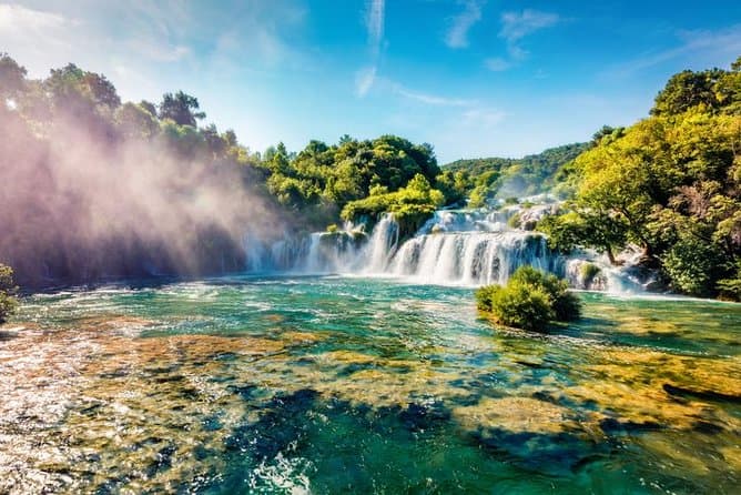
Krka Waterfalls & Primošten from Trogir, Seget, Čiovo & Kaštela (opens in a new tab)
Your adventure begins with pickup from Trogir and a scenic drive to one of Croatia’s natural highlights. Explore Krka National Park and admire Skradinski Buk, the park’s most famous waterfall. Walk…
Rated 4.7 out of 5 · 20 reviews· 6.5 h
Free cancellation
from €60
GetYourGuide · Trogir
We show GetYourGuide offers once you allow their cookies.
Practical information
Getting there and around
From the mainland, reach Srednje Selo by Jadrolinija’s route 636 from Split to Rogač; the operator posts the 2026 sailing timetable on the route page. An island bus then runs from Rogač towards Maslinica via Grohote, Srednje Selo and Donje Selo. In Promet Split’s published 2025 timetable, underlined departures do not serve Srednje or Donje Selo, so check the live schedule when connecting from the ferry. Jadrolinija’s Rogač sales point is at Put svete Tereze bb.
Frequently asked questions
Is Srednje Selo by the sea?
No; it lies inland on the northern edge of Šolta’s central field, beside the road between Grohote and Donje Selo.
Which historic courtyards should visitors find in Srednje Selo?
Purtića dvor and Lukin dvor stand out in the stone core for their notable contribution to the village setting.
Where does the cycling route through Srednje Selo lead?
The recommended route starts in Grohote, crosses Srednje Selo and Donje Selo, and continues towards Maslinica.
Nearby
Srednje Selo, Šolta
Open in OpenStreetMap(opens in a new tab)Larger towns
straight-line distance
Related guides
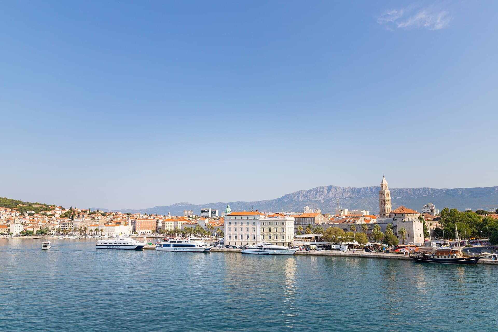
Split
In Split, the transition from ancient monument to ordinary street is almost imperceptible: entering the southern part of Diocletian’s Palace from the Riva leads towards the Peristyle, then…
Read the guide

Baška Voda
Baška Voda lies in the western part of the Makarska Riviera directly below the Biokovo massif. Once a fishing and seafaring settlement, it developed into a resort whose centre remains…
Read the guide
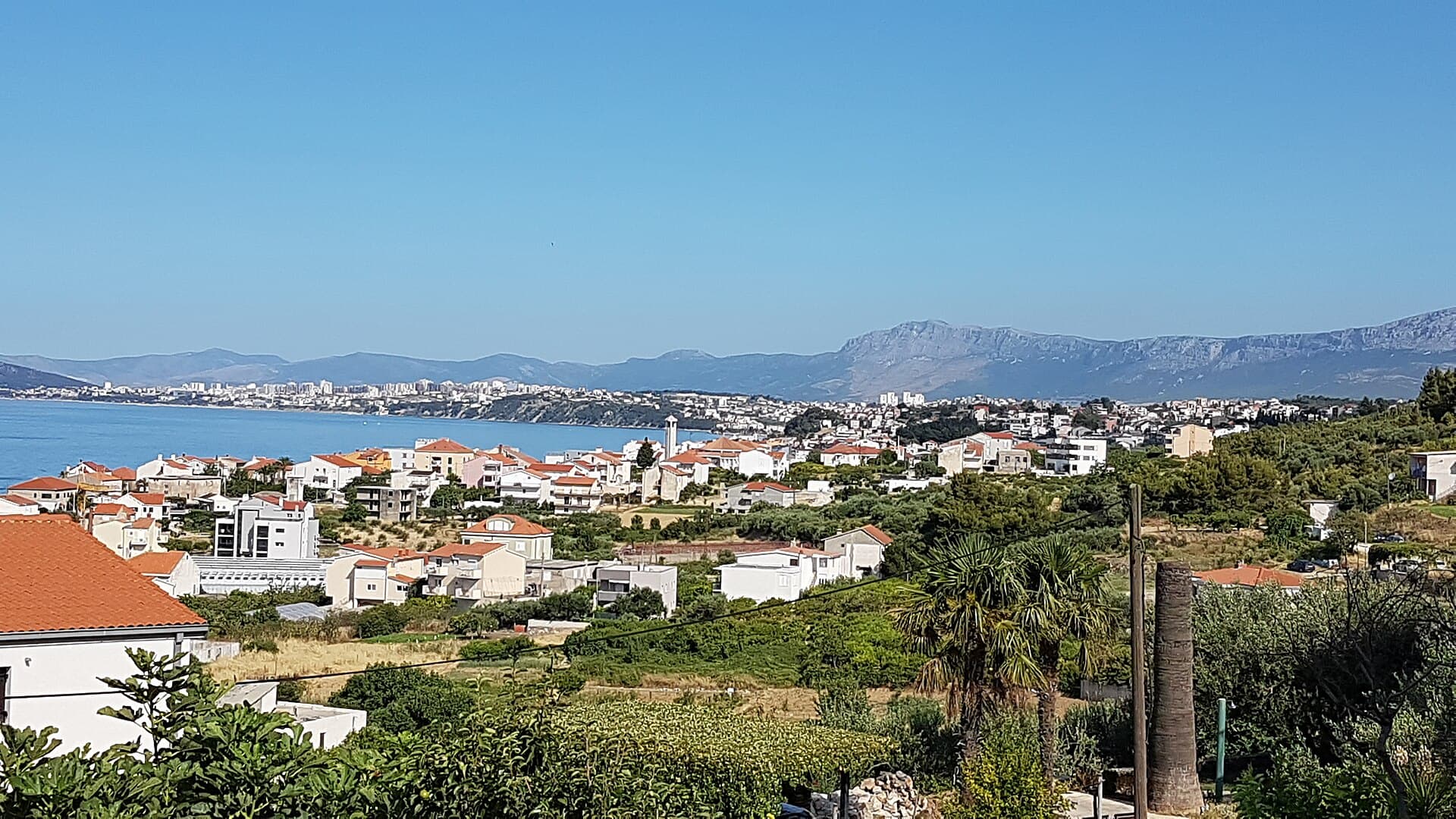
Podstrana
Podstrana is made up of five settlements. The oldest is Gornja Podstrana, set 290 to 340 metres above sea level beneath Perun, while Strožanac, Grljevac, Sveti Martin and Mutogras follow…
Read the guide

Brela
Brela is a municipal seat at the northern end of the Makarska littoral, about 15 km northwest of Makarska, on the Adriatic Highway and in a belt of pine forest at the foot of Biokovo. The…
Read the guide
Know Srednje Selo, Šolta? Correct us
Tell us in your own words what is not accurate. We check right away.Do not enter personal data. Corrections are checked by the StayBravo AI assistant; changes to the description are approved by an editor. Use the form instead
Do you know Srednje Selo, Šolta?
Help the guests who come after you.
Help us complete
Nothing is published without an editor’s review.Report illegal content
Photo credits: Šolta — OpenStreetMap contributors (CC BY-SA 2.0) · Stomorska — Andres rus (CC BY-SA 3.0) · Okrug Gornji — Rj1979 (Public domain) · Drvenik Veliki, Church of St. George in Drvenik Veli — b.roveran (CC BY 2.0) · Okrug — Damian Szczepaniak, Szczepan (CC BY-SA 3.0) · Church of Our Lady of Prizidnice — Kaštel Stari (CC BY-SA 4.0) · Crkva-tvrđava na Mrdulji — Đonny (Public domain) · Crkva sv. Andrije u Trogiru — Arianne Gujinovic Lyon Clark (CC BY-SA 4.0) · Apartman Lucija — Ljubica Munjiza (courtesy of the property owner) · Apartmani Mirjana, Apartman Anđela — Mirjana Rapić (courtesy of the property owner) · Apartman A&K — Jelena Boban (courtesy of the property owner) · Split — dronepicr (CC BY 2.0) · Baška Voda — Mario Žamić (CC BY-SA 3.0) · Podstrana — Romanm (CC BY-SA 4.0) · Brela — Josip-Pino Žamić (CC BY-SA 4.0)