
Šolta
About this place
Šolta is a 58.18-square-kilometre Central Dalmatian island, roughly 19 kilometres long and separated from Split by the Split Channel. Its settlements reveal two distinct island patterns: Grohote, Donje Selo, Srednje Selo and Gornje Selo grew beside inland fields, while Rogač, Nečujam, Stomorska and Maslinica face harbours and deeply cut bays. Vela Straža rises to 237 metres, and the southern shore breaks into coves such as Tatinja, Senjska, Stračinska and Livka. Marko Marulić stayed in Nečujam; Maslinica developed around the castle built by the Marchi family in 1708; and Grohote preserves both an early Christian basilica site and fortified architecture. Agriculture remains part of the visitor experience through Dobričić wine, rosemary honey and oil made from the Šoltanka and Oblica olives. Connections from Split arrive at Rogač, where ferry route 636 takes about an hour under the 2026 schedule and buses continue towards Maslinica and Stomorska.
Šolta stretches between Brač, Drvenik Veli, Čiovo and the more open waters facing Vis, with 79.4 kilometres of coastline and its highest point at Vela Straža. Fertile fields in the island’s centre drew the older villages inland and away from exposed harbours, while northern and western bays later became the principal transport and visitor centres. Rogač is the ferry gateway, Grohote the administrative hub, Nečujam an unusually branched bay, Stomorska an old seafaring port and Maslinica the western village facing an archipelago of seven islets. Šolta’s identity combines limestone architecture, olive growing and the Dobričić grape with a long relationship to Split, whose medieval commune derived substantial income from leasing the island’s agricultural land.
Stays further afield
- Apartment
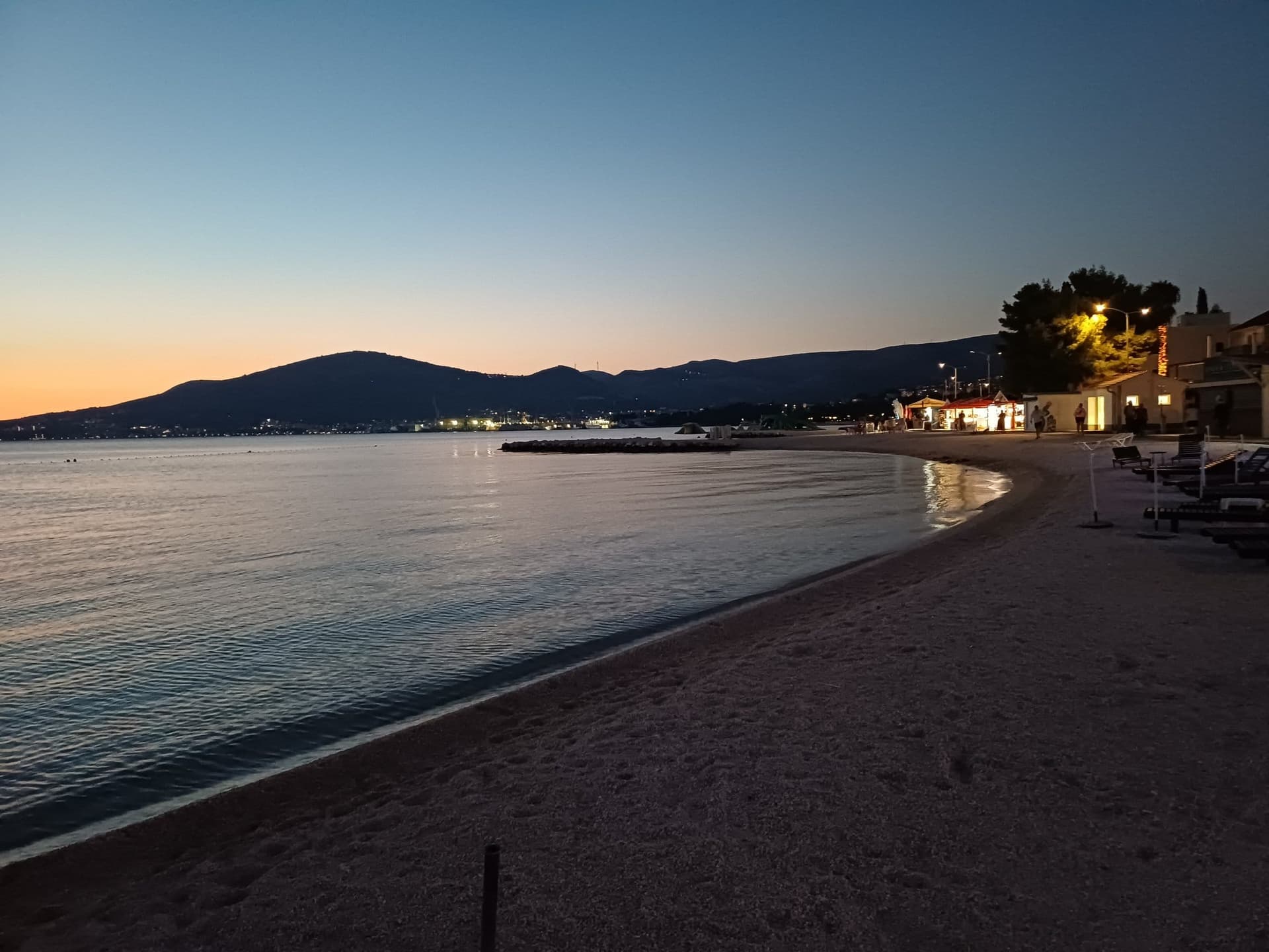 12 km from Šolta
- Apartment
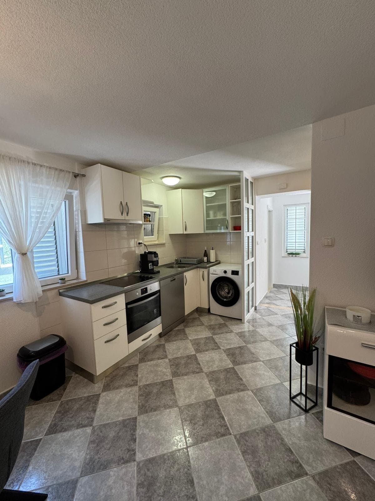 12 km from Šolta
- Other stay
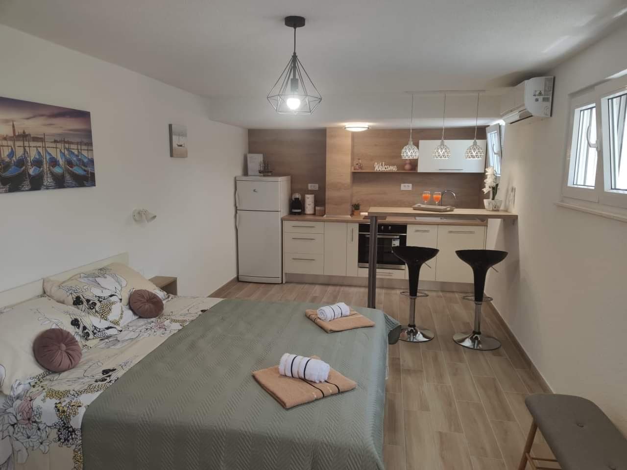 12 km from Šolta
- Apartment
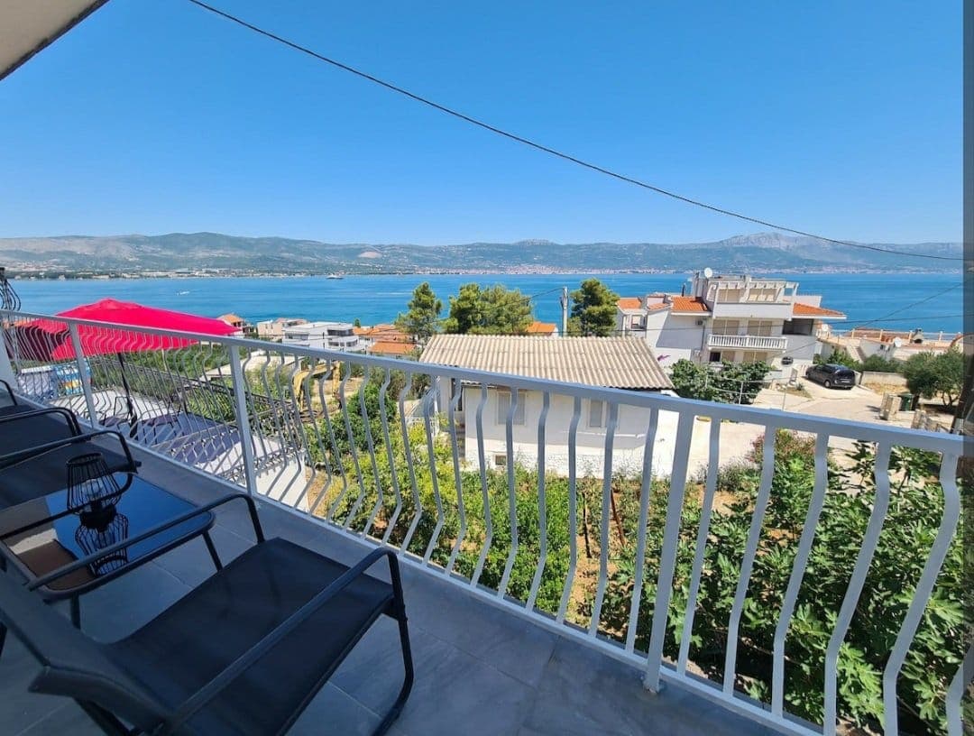 13 km from Šolta
- Apartment
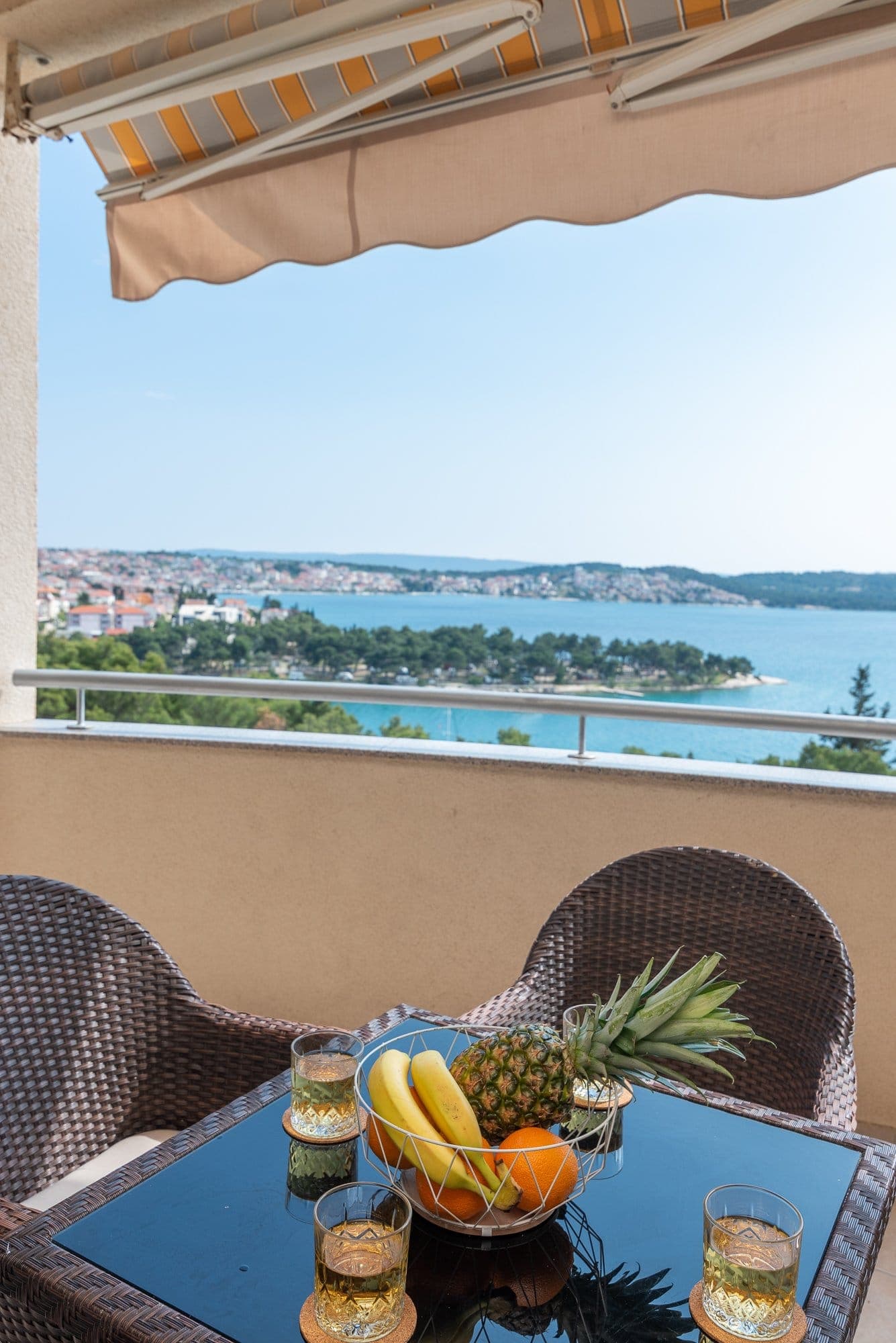 15 km from Šolta
Be the first to list here
Guests looking for this place only see stays nearby for now. No commission, and enquiries come straight to you.
List your accommodation
Top places

Stomorska
Village · Šolta
Things to see
Maslinica’s defining landmark is Martinis Marchi Castle, built by the Marchi family in 1708 to defend the new settlement from pirate raids and now restored as a heritage hotel beside the marina. From St Nicholas’s Church above the village, the view takes in the seven Maslinica islets: Polebrnjak, Saskinja, Stipanska, Kamik, Balkun, Rudula and Grmej. Nečujam preserves a house associated with Marko Marulić, while submerged remains of an ancient fishpond can be seen in Piškera cove. In Grohote, Kaštel Slavić contrasts with the foundations of a late-5th-century basilica. Donje Selo adds St Martin’s Church, archaeological traces and a European St Martin route marker placed on the Bratska kuća in 2010.

Crkva-tvrđava na Mrdulji
Landmark · Milna
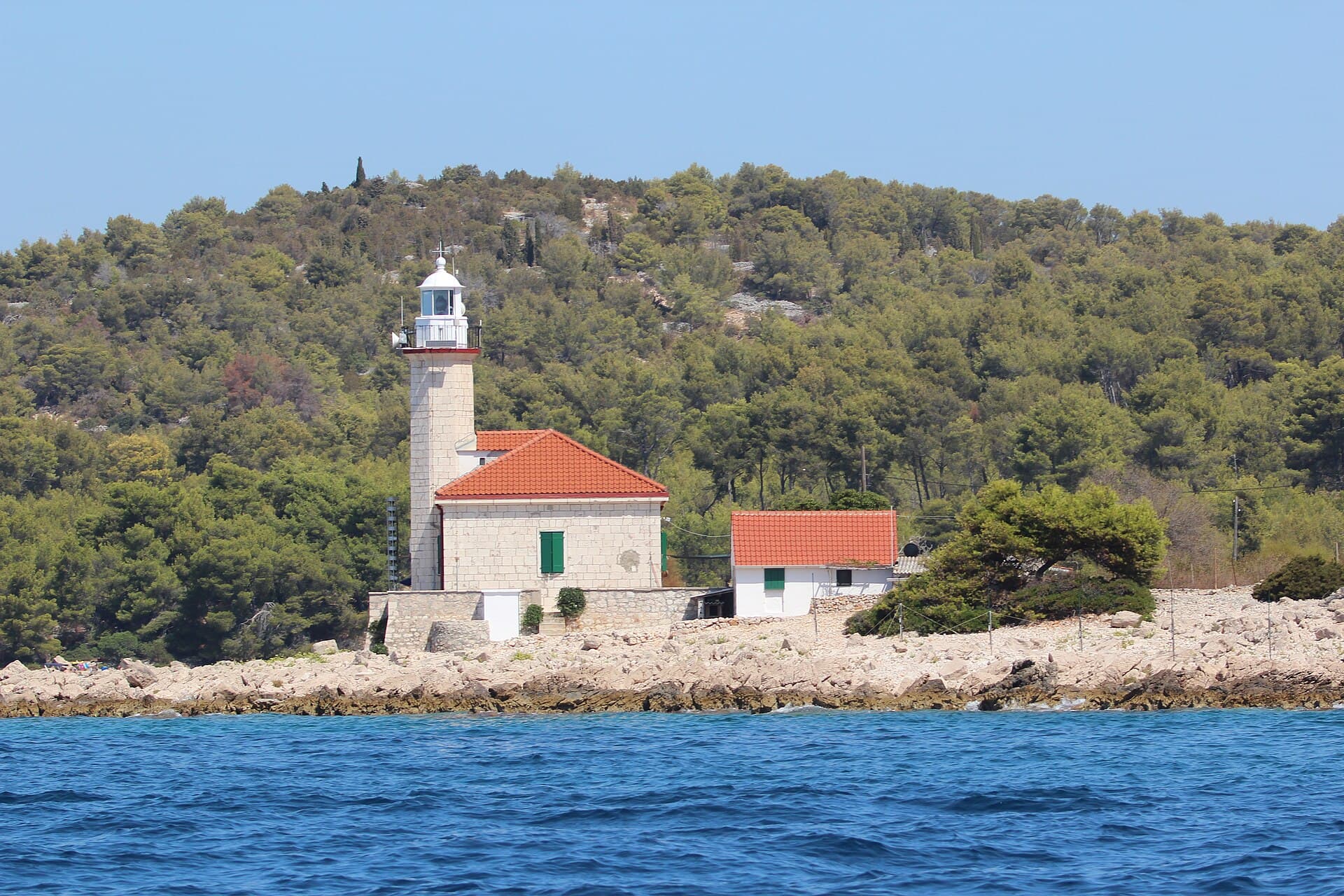
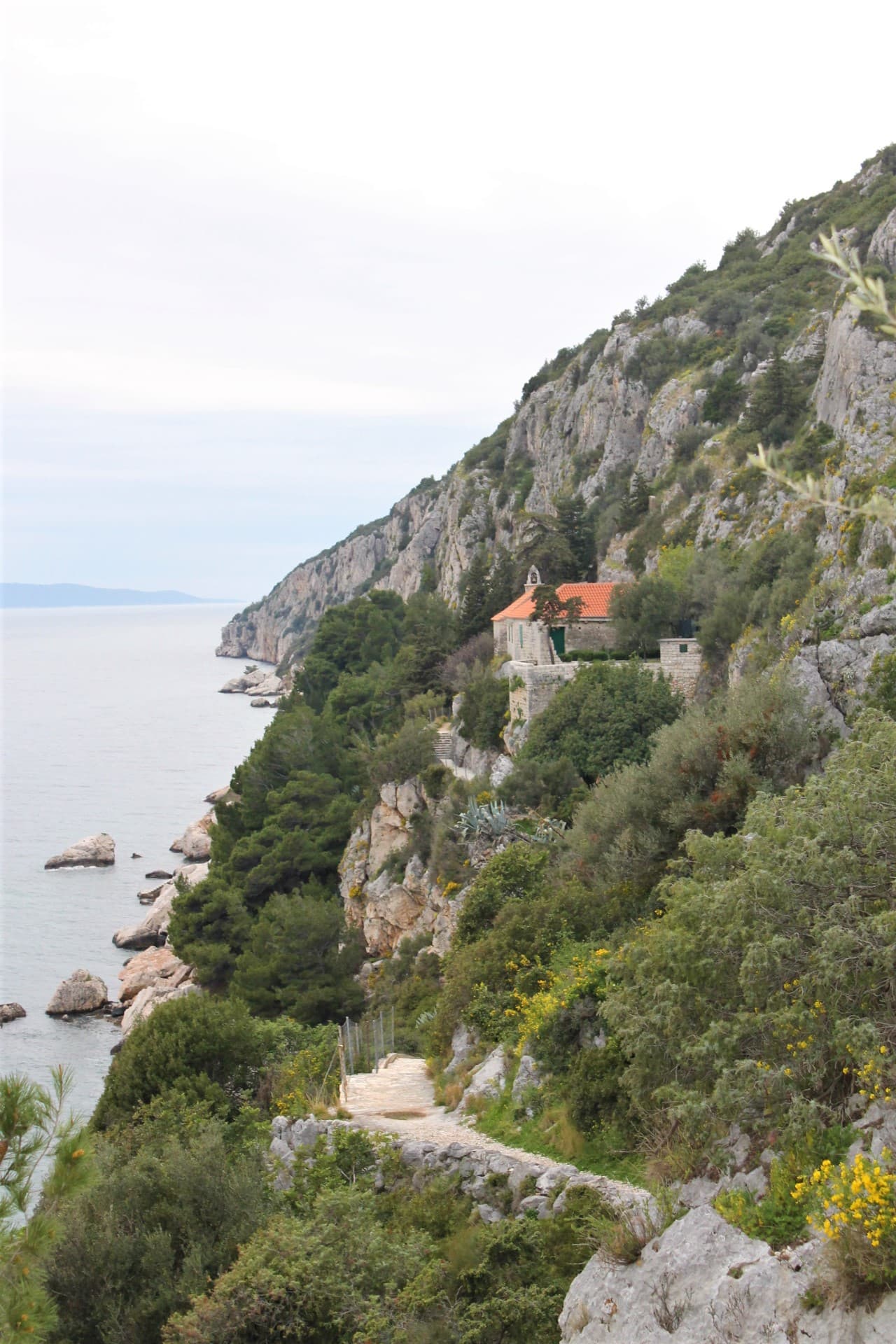
The church-fortress on Mrduja is a ruined Gothic chapel with a lookout platform on an islet between Brač and Šolta.
11 km from Šolta
Church of Our Lady of Prizidnice
Landmark · Slatine
church in Slatine on Čiovo island, Split, Croatia
13 km from Šolta
Church of St. George in Drvenik Veli
Landmark · Drvenik Veliki
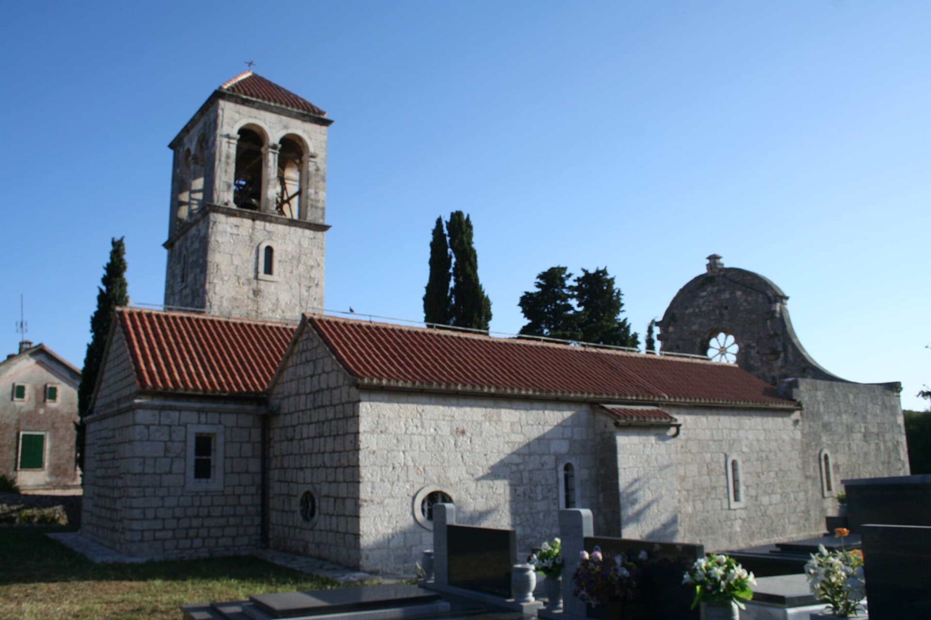
The parish Church of St George with its parish houses is a protected sacred complex in Drvenik Veli.
14 km from Šolta
Beaches
Šolta’s beaches change markedly from one settlement to another. Maslinica has a developed pebble beach overlooking the islets, while nearby Šipkova is the island’s only natural sandy beach according to the local tourist board. In the broad bay of Nečujam, the central shore is complemented by smaller inlets such as Šumpjivina, Podkamenica, Tiha and Piškera, reached on foot, by kayak or by boat. Stomorska offers the pebble beach of Điga at the end of its waterfront, plus Veli Dolac and pine-backed Zadušna. The southern coast suits more mobile swimmers: Stračinska is approached downhill from Gornje Selo, a rural track reaches Zaglav from the Grohote direction, and Šešula near Maslinica can be reached by road, bicycle, foot or sea.
Things to do
For a car-free first day, land at Rogač and take the bus to Grohote, where a short walk links Kaštel Slavić, cobbled courtyards and St Stephen’s Church with the late-antique basilica remains. Continue to Nečujam for its long bay promenade and the house associated with Marko Marulić, then finish along Stomorska’s waterfront. Devote a western day to Maslinica: see Martinis Marchi Castle, climb to St Nicholas’s Church and continue towards Šipkova beach or Šešula cove. Cyclists can use the inland connection from Grohote through Srednje Selo and Donje Selo to Maslinica, while routes via Gornje Selo lead towards the southern coves of Stračinska and Senjska and the high ground around Vela Straža.
Food and drink
Šolta is best tasted through three island products: olive oil, Dobričić wine and rosemary honey. “Šoltansko maslinovo ulje” entered the EU register of protected designations of origin in 2016, and the oil is closely associated with the local Šoltanka, also called Levantinka, and Oblica olives. Dobričić is the island’s distinctive dark-skinned grape, offered by local growers and tasting rooms, particularly around Gornje Selo. For a specific waterfront meal, the island tourist board lists the Šišmiš and Šešula restaurants in Šešula cove, reachable from Maslinica on foot, by road or by boat. Maslinica also has the restaurant at the restored Martinis Marchi estate, while Stomorska’s old harbour is lined with several restaurants and konobas.
Tours and activities
AdAd · partner offers: GetYourGuideThe partner handles booking, payment and support. StayBravo may earn a commission on bookings made through these links.How we choose offersGetYourGuide offers are selected and ordered by GetYourGuide based on the name of the nearest larger town or national park; we do not influence their selection and do not use data about you.GetYourGuide · Šolta
We show GetYourGuide offers once you allow their cookies.
Towns
All other placesShow all 8Hide list
Practical information
Practical information
The Šolta Tourist Board is based at Podkuća 8 in Grohote, so island maps and local information are available in the administrative centre rather than only in coastal resorts. Grohote also has general medical and dental clinics at Podkuća 31 and a pharmacy at Gustirna 15. The island’s emergency medical standby point is beside the port at Obala sv. Tereze 9 in Rogač, a useful detail when planning time in remote southern coves. Croatia’s 112 number covers medical emergencies, fire, police and rescue at sea. Before setting out by boat or bicycle, water and supplies are most readily organised in service centres such as Grohote, Rogač, Nečujam, Stomorska or Maslinica rather than after descending to an isolated cove.
Getting there and around
Šolta’s principal mainland link is Jadrolinija car-ferry route 636 between Split and Rogač. Under the 2026 schedule the crossing takes about 60 minutes, and a ticket for a chosen departure also reserves a place; Jadrolinija advises arriving at the terminal at least 45 minutes before sailing. Island buses meet passengers in Rogač and divide towards Šolta’s two ends. The western service runs through Grohote, Donje Selo and Srednje Selo to Maslinica, while the eastern branch serves Grohote, Nečujam and Gornje Selo before reaching Stomorska. Departures are coordinated with ferries and buses may leave as soon as passengers have boarded. A car helps with southern coves, though final approaches often use narrow local roads or unsurfaced rural tracks.
Frequently asked questions
How long is the ferry from Split to Šolta?
Jadrolinija’s Split–Rogač crossing takes approximately 60 minutes under the 2026 schedule.
Where is Šolta’s sandy beach?
The island’s natural sandy beach is in Šipkova cove, near Maslinica.
What is Šolta’s highest point?
Vela Straža is the island’s highest point at 237 metres.
Where did Marko Marulić stay on Šolta?
Marulić stayed in Nečujam, where a house associated with his time on the island still stands.
What distinguishes Šolta olive oil?
“Šoltansko maslinovo ulje” carries an EU protected designation of origin, registered in 2016.
Related guides
Stomorska
Stomorska occupies Šolta’s north-eastern coast, yet its identity remains inseparable from inland Gornje Selo: the settlement developed in the 17th century as that village’s harbour. It had…
Read the guide
Rogač, Šolta
Rogač occupies the middle of Šolta’s northern coast and is the island’s only ferry port. The village follows the curve of a deep bay, extending from the terminal towards waterfront houses…
Read the guide
Grohote
Grohote is not a seaside resort but Šolta’s inland hub, the point from which everyday island life branches towards Rogač, Maslinica and the eastern villages. Its stone core developed south…
Read the guide
Nečujam
Nečujam is organised not around a single harbourfront but around a broad bay branching into eight named coves. Bok Supetra, Šumpjivina, Podkamenica, Maslinica, Tiha, Bok od Rata, Piškera…
Read the guide
Know Šolta? Correct us
Tell us in your own words what is not accurate. We check right away.Do not enter personal data. Corrections are checked by the StayBravo AI assistant; changes to the description are approved by an editor. Use the form instead
Do you know Šolta?
Help the guests who come after you.
Help us complete
Nothing is published without an editor’s review.Report illegal content
Photo credits: Šolta — OpenStreetMap contributors (CC BY-SA 2.0) · Stomorska — Andres rus (CC BY-SA 3.0) · Crkva-tvrđava na Mrdulji — Đonny (Public domain) · Ražanj Lighthouse — Fallaner (CC BY-SA 4.0) · Church of Our Lady of Prizidnice — Kaštel Stari (CC BY-SA 4.0) · Church of St. George in Drvenik Veli — b.roveran (CC BY 2.0) · Apartman Lucija — Ljubica Munjiza (courtesy of the property owner) · Apartmani Mirjana, Apartman Anđela — Mirjana Rapić (courtesy of the property owner) · Apartman A&K — Jelena Boban (courtesy of the property owner)