Rogač, Šolta
About this place
Rogač is Šolta’s principal maritime gateway and the island’s only settlement receiving a regular vehicle ferry from Split. It occupies a deep inlet on the northern coast, and the ferry terminal and daily cycle of arrivals give it a different rhythm from the nearby resorts of Nečujam and Stomorska. Swimming spots are set away from the ramp: Kašjun is about a twenty-minute walk from the port, while Banje lies across the bay and includes children’s facilities; the local visitor route also identifies Garma beach. Remains of an ancient rural villa beside the water reveal that this sheltered inlet was used long before modern ferry traffic. Rogač is also the starting point for Šolta’s bus network, allowing arriving passengers to continue towards Grohote and settlements elsewhere on the island. Jadrolinija’s route 636 connects Rogač and Split throughout 2026, with a crossing time of 60 minutes. The village consequently functions both as Šolta’s working port and as a low-key swimming base: activity peaks around ferry arrivals, while pine trees, small beaches and the shoreline path dominate only a short walk away.
Rogač occupies the middle of Šolta’s northern coast and is the island’s only ferry port. The village follows the curve of a deep bay, extending from the terminal towards waterfront houses and the swimming spots of Kašjun, Garma and Banje. Remains of an ancient rural villa beside the inlet show that this naturally sheltered harbour attracted settlement long before the modern Split service. Today, the ferry ramp, moored boats and island buses meeting arriving passengers shape Rogač’s identity, yet the shore path towards the beaches quickly leaves the port traffic behind and passes pines and small stone jetties.
Things to see

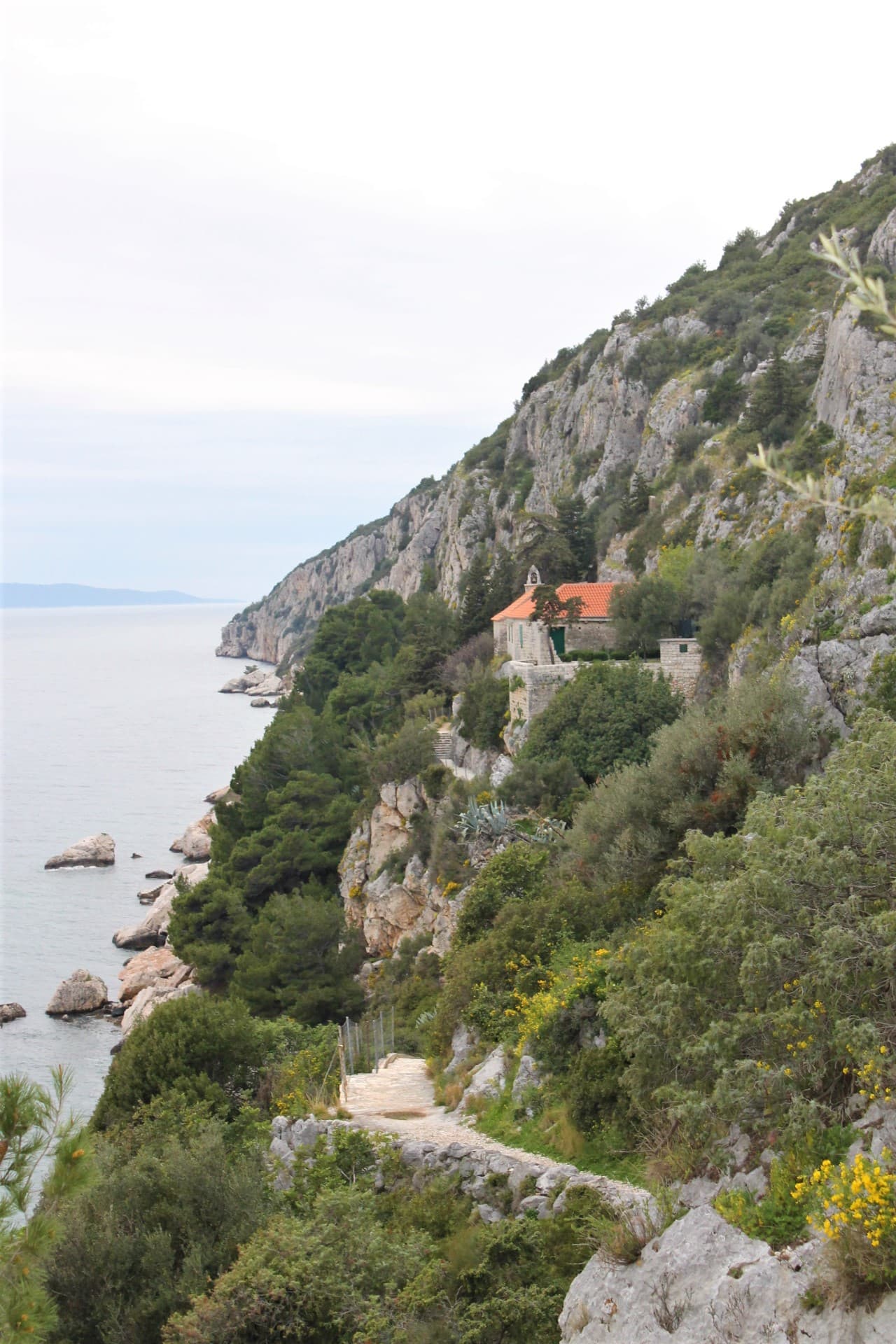
Crkva-tvrđava na Mrdulji
Landmark · Milna
The church-fortress on Mrduja is a ruined Gothic chapel with a lookout platform on an islet between Brač and Šolta.
11 km from Rogač, Šolta
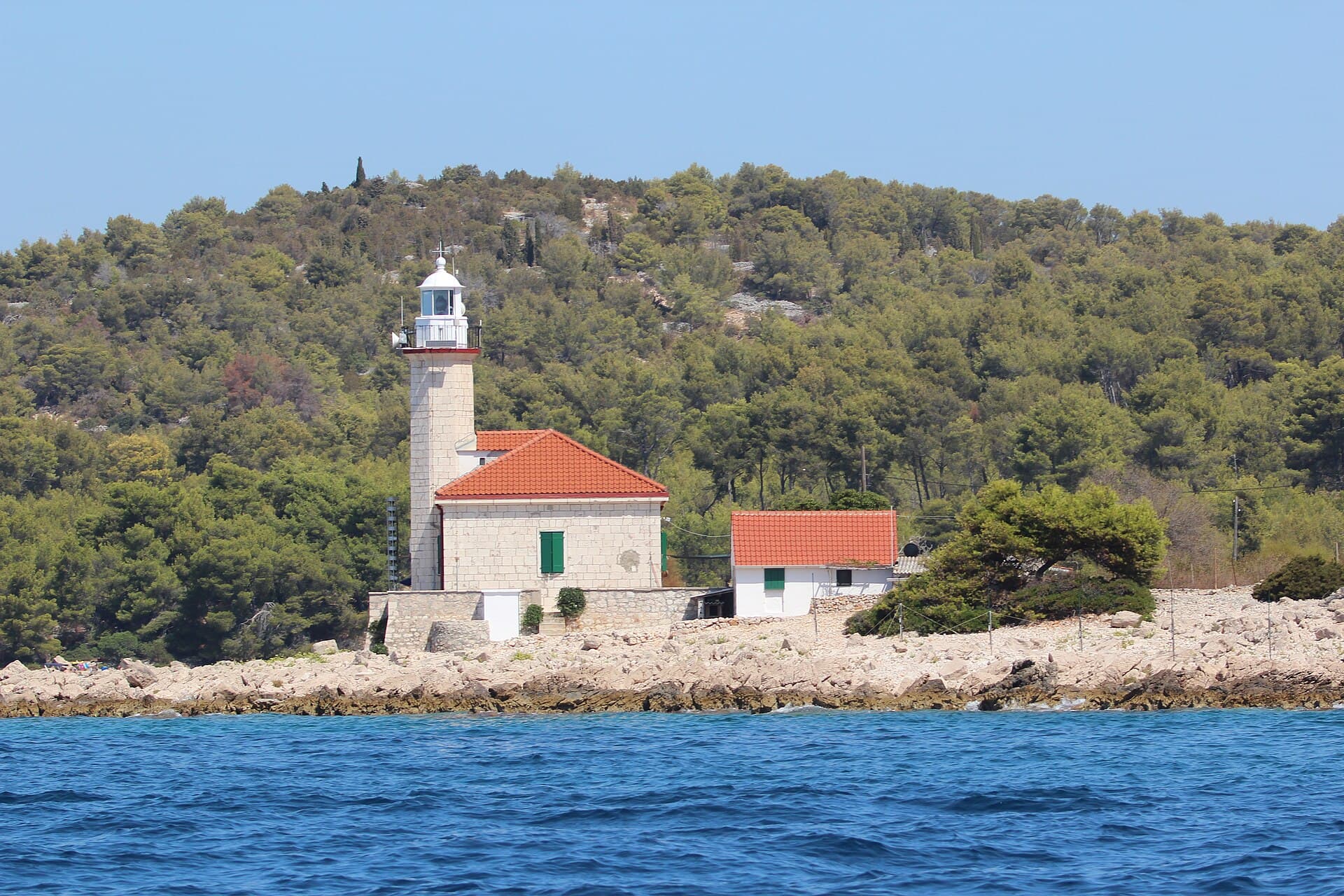
Church of Our Lady of Prizidnice
Landmark · Slatine
church in Slatine on Čiovo island, Split, Croatia
11 km from Rogač, Šolta
Stays further afield
- Apartment
 11 km from Rogač, Šolta
- Apartment
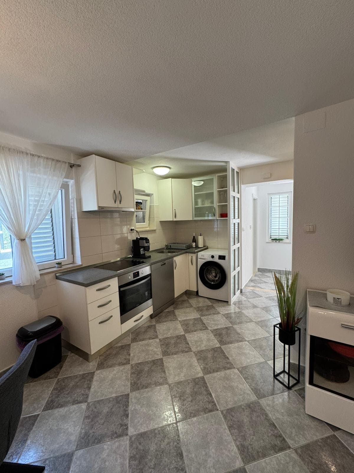 11 km from Rogač, Šolta
- Other stay
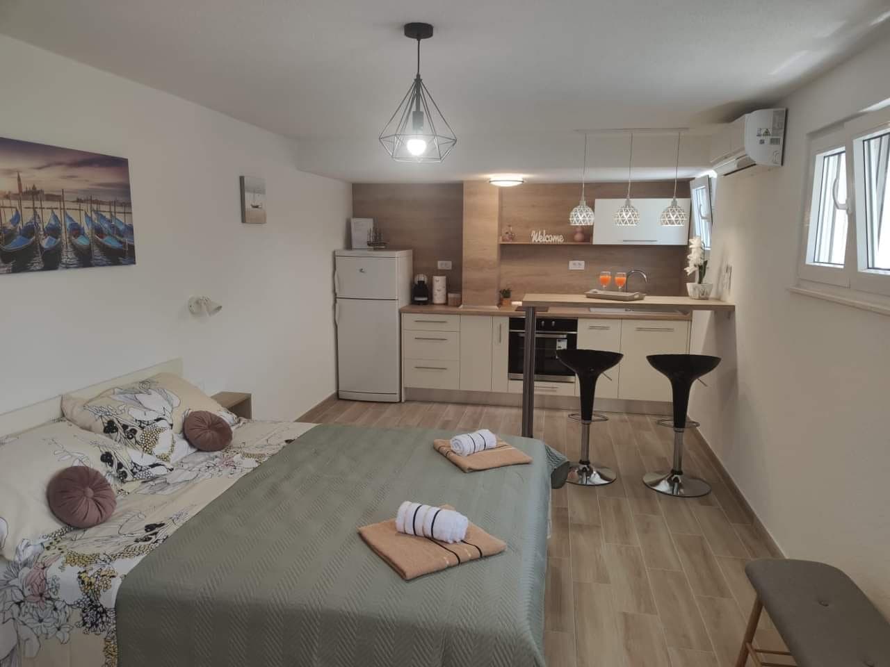 11 km from Rogač, Šolta
- Apartment
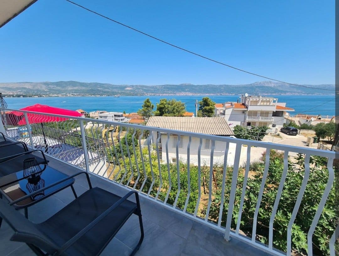 12 km from Rogač, Šolta
- Apartment
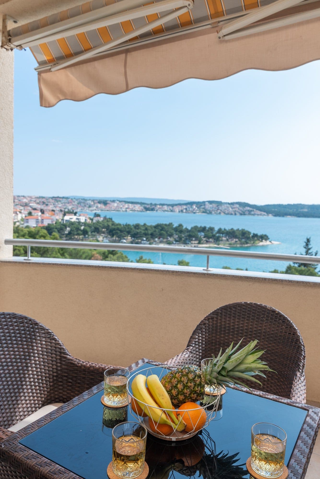 14 km from Rogač, Šolta
Be the first to list here
Guests looking for this place only see stays nearby for now. No commission, and enquiries come straight to you.
List your accommodation
Beaches
Kašjun is about a twenty-minute walk from the ferry terminal along a coastal path, making it convenient for visitors arriving on Šolta without a car. Banje lies across Rogač Bay and stands out for its children’s facilities. The local visitor route also names Garma, allowing the three swimming spots to be combined in a walk around different parts of the inlet. Between the more established beaches, swimmers use small jetties and rocky stretches of shoreline, though the ferry manoeuvring area and the lanes used by vehicles waiting to board should be avoided.
Bathing water quality nearby
- Rogač · 373 mexcellent
- Glavna plaža Nečujam · 2.5 kmnot classified
Source: European Environment Agency (EEA); data from Croatian authorities. · bathing water profile
Things to do
After leaving the ferry, follow the waterfront rather than lingering beside the vehicle ramp. Kašjun, roughly a twenty-minute walk from the port, is a natural first swimming stop. Continuing around the inlet brings Garma into the route, while Banje lies across Rogač Bay and provides facilities for children. The flat family cycling route called “Sweet Rogač” follows the bay to the end of the road and returns along the same course, making it suitable for every type of bicycle. Before heading back to the terminal, look for the remains of the ancient rural villa by the shore, an archaeological detail that distinguishes this walk from a simple beach circuit.
Tours and activities
AdAd · partner offers: Viator, GetYourGuideThe partner handles booking, payment and support. StayBravo may earn a commission on bookings made through these links.How we choose offersWe choose offers based on the page you are viewing: the partner destination for this place or the nearest one (with its distance), and on a sight page only offers that mention it. We show offers rated at least 4.3 with at least 10 reviews, without multi-day tours or pure transfers, ordered by rating adjusted for the number of reviews and then by the partner’s order. We do not use data about you, and the commission does not affect the order.GetYourGuide offers are selected and ordered by GetYourGuide based on the name of the nearest larger town or national park; we do not influence their selection and do not use data about you.Viator
Nearest destination: Ciovo Island (12 km)
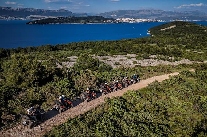
From Split & Trogir: ATV Quad Tour on Island Čiovo (opens in a new tab)
Discover the unparalleled beauty of Croatian seaside landscapes. Embark on an exciting ATV quad tour and explore the stunning island of Čiovo. Enjoy a two-hour or three-hour quad adventure along the…
Rated 5 out of 5 · 26 reviews· 2.5 h
Free cancellation
from €75
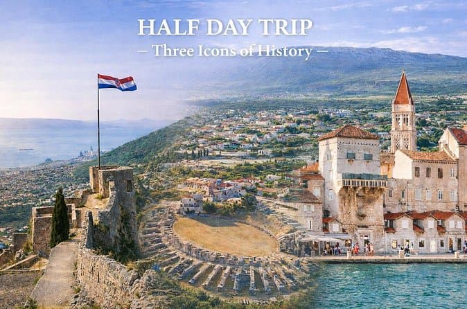
Split Private Tour: Klis, Salona & Trogir - Half a Day (opens in a new tab)
See more in half a day than most visitors see in two. This private tour connects panoramic Klis Fortress, the ancient Roman ruins of Salona, and the UNESCO-listed town of Trogir in a smooth…
Rated 5 out of 5 · 18 reviews· 4–5 h
Free cancellation
from €350
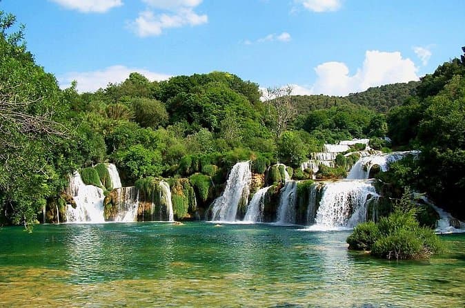
From Trogir, Seget, Okrug: Krka Waterfalls & Šibenik Culture Tour (opens in a new tab)
Discover the breathtaking beauty of Krka Waterfalls National Park, the rich history of Šibenik, and the charm of Primošten on a full-day adventure designed for smaller groups, ensuring a more…
Rated 4.9 out of 5 · 18 reviews· 8 h
Free cancellation
from €65
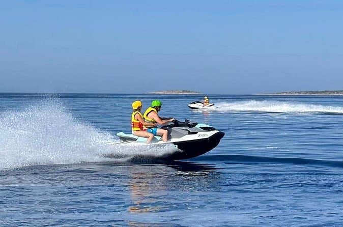
Trogir: Jet Ski Safari with Snorkeling and Blue Lagoon (opens in a new tab)
Perfect for guests staying in Trogir and nearby, this guided jet ski safari combines adrenaline, sightseeing, swimming, and snorkeling along the stunning Dalmatian coastline. Ride a brand-new…
Rated 5 out of 5 · 12 reviews· 2 h
Free cancellation
from €145
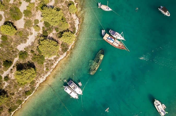
Private Boat Tour to Brac and Solta islands: Non-Touristy Itinerary (opens in a new tab)
This private type of boat tour is perfect for people who like to avoid the crowds and prefer a more quiet and relaxing boat trip. Designed for a group of friends or family who want to enjoy…
Rated 4.9 out of 5 · 15 reviews· 9 h
Free cancellation
from €820
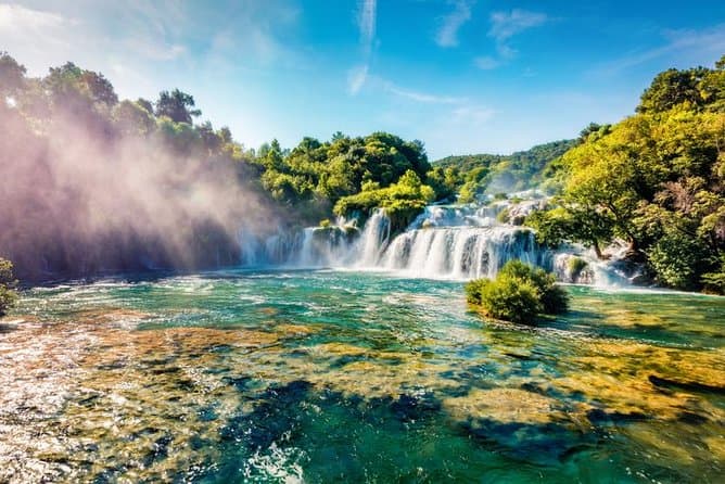
Krka Waterfalls & Primošten from Trogir, Seget, Čiovo & Kaštela (opens in a new tab)
Your adventure begins with pickup from Trogir and a scenic drive to one of Croatia’s natural highlights. Explore Krka National Park and admire Skradinski Buk, the park’s most famous waterfall. Walk…
Rated 4.7 out of 5 · 20 reviews· 6.5 h
Free cancellation
from €60
GetYourGuide · Trogir
We show GetYourGuide offers once you allow their cookies.
Practical information
Getting there and around
Jadrolinija ferry route 636 links Rogač with Split throughout 2026, with a published crossing time of 60 minutes. Frequency changes by season: during the high-season period from 3 July to 30 August 2026, the timetable provides six daily sailings in each direction, with one departure adjusted on Sundays. Rogač also forms part of Promet Split’s Šolta bus network, allowing ferry passengers to continue to other island settlements. Check the current island bus timetable against the chosen sailing, particularly outside the summer period.
Frequently asked questions
How long is the Split–Rogač ferry crossing?
Jadrolinija’s timetable for route 636 gives a crossing time of 60 minutes.
Which beach is an easy walk from the port?
A coastal path leads to Kašjun, which the Šolta Tourist Board places about a twenty-minute walk from the ferry port.
Which Rogač beach has children’s facilities?
Banje, across the bay from the ferry terminal, is identified as the local beach with facilities for children.
Nearby
Rogač, Šolta
Open in OpenStreetMap(opens in a new tab)Larger towns
Smaller places
straight-line distance
Related guides
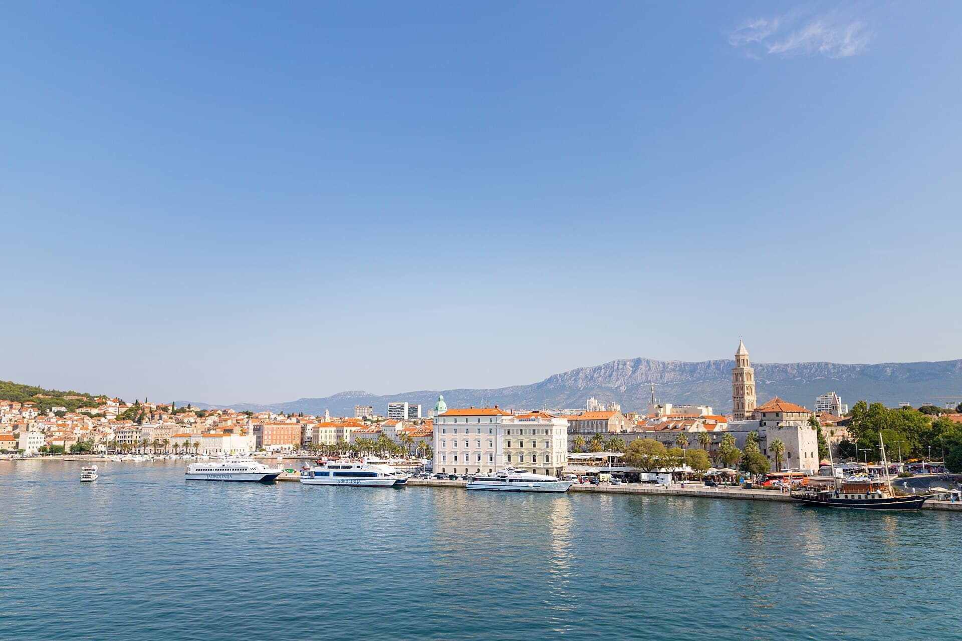
Split
In Split, the transition from ancient monument to ordinary street is almost imperceptible: entering the southern part of Diocletian’s Palace from the Riva leads towards the Peristyle, then…
Read the guide

Baška Voda
Baška Voda lies in the western part of the Makarska Riviera directly below the Biokovo massif. Once a fishing and seafaring settlement, it developed into a resort whose centre remains…
Read the guide
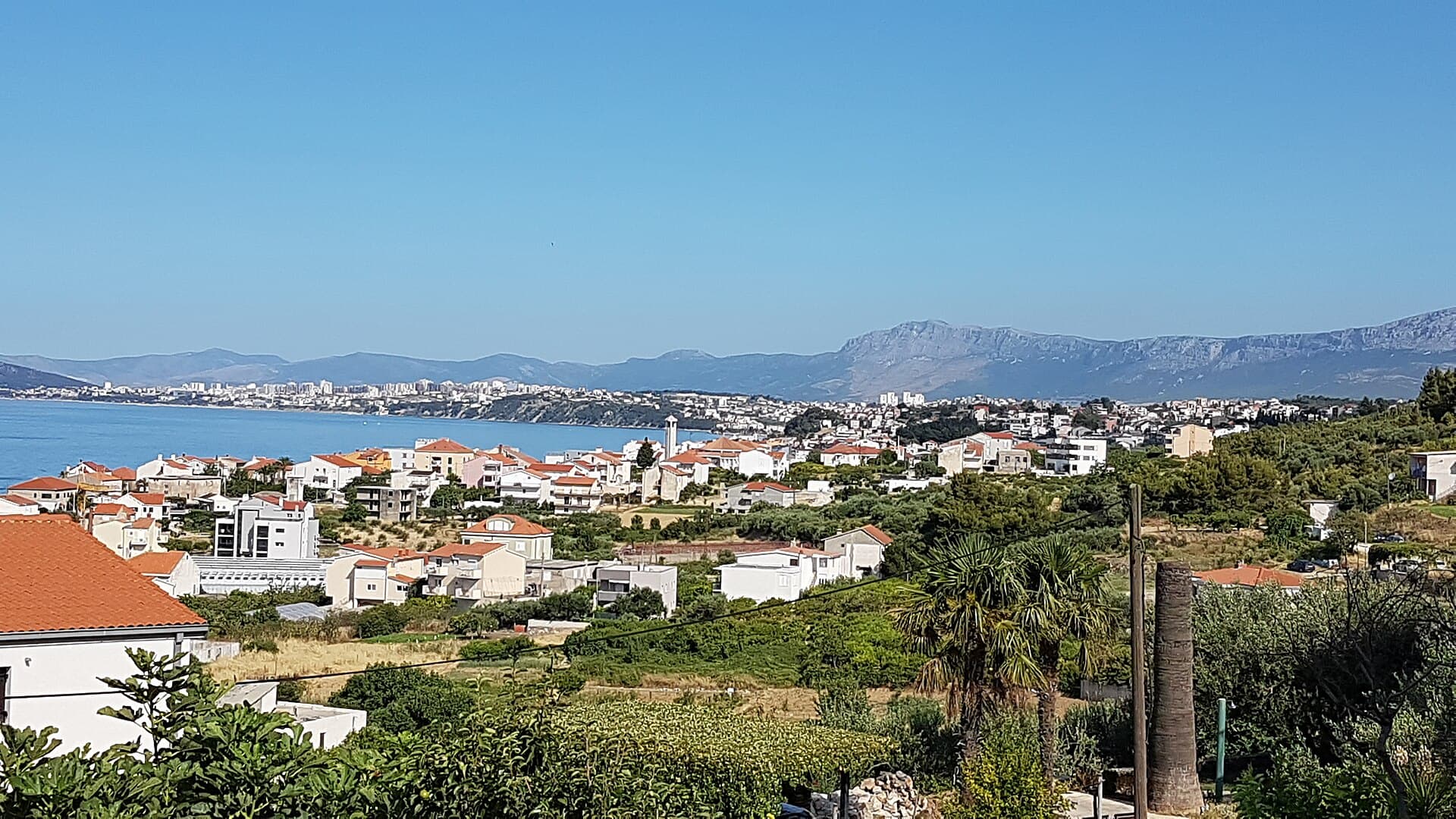
Podstrana
Podstrana is made up of five settlements. The oldest is Gornja Podstrana, set 290 to 340 metres above sea level beneath Perun, while Strožanac, Grljevac, Sveti Martin and Mutogras follow…
Read the guide

Brela
Brela is a municipal seat at the northern end of the Makarska littoral, about 15 km northwest of Makarska, on the Adriatic Highway and in a belt of pine forest at the foot of Biokovo. The…
Read the guide
Know Rogač, Šolta? Correct us
Tell us in your own words what is not accurate. We check right away.Do not enter personal data. Corrections are checked by the StayBravo AI assistant; changes to the description are approved by an editor. Use the form instead
Do you know Rogač, Šolta?
Help the guests who come after you.
Help us complete
Nothing is published without an editor’s review.Report illegal content
Photo credits: Šolta — OpenStreetMap contributors (CC BY-SA 2.0) · Stomorska — Andres rus (CC BY-SA 3.0) · Okrug Gornji — Rj1979 (Public domain) · Slatine — Rudi Klingenberg (CC BY-SA 3.0) · Žedno — Žedno (Public domain) · Crkva-tvrđava na Mrdulji — Đonny (Public domain) · Church of Our Lady of Prizidnice — Kaštel Stari (CC BY-SA 4.0) · Ražanj Lighthouse — Fallaner (CC BY-SA 4.0) · Dominican monastery in Arbanija — VitVit (CC BY-SA 4.0) · Apartman Lucija — Ljubica Munjiza (courtesy of the property owner) · Apartmani Mirjana, Apartman Anđela — Mirjana Rapić (courtesy of the property owner) · Apartman A&K — Jelena Boban (courtesy of the property owner) · Split — dronepicr (CC BY 2.0) · Baška Voda — Mario Žamić (CC BY-SA 3.0) · Podstrana — Romanm (CC BY-SA 4.0) · Brela — Josip-Pino Žamić (CC BY-SA 4.0)