Ston
About this place
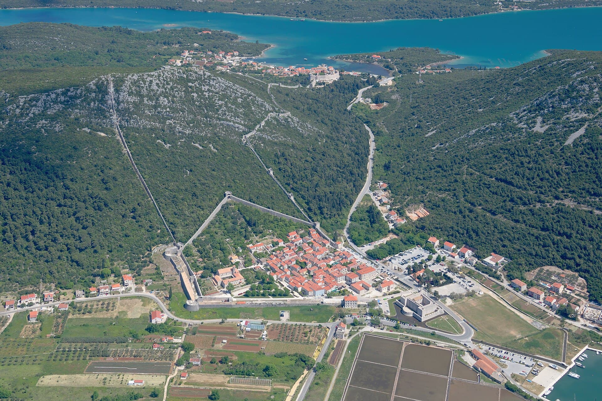
Ston is a medieval town on the Pelješac isthmus, where a carefully ordered street grid sits between the salt pans and a ring of fortifications. The Republic of Dubrovnik began building the walls in 1333, planning Ston and Mali Ston together to protect the saltworks and the land approach to the peninsula. The Great Wall climbs the hill towards Mali Ston, while the town wall encloses Ston in a pentagonal outline. That meeting of stone, shallow evaporation pools and sheltered sea makes the place distinctive: salt has been harvested here for centuries, and the defences were built to safeguard it. Placa, the main street, crosses the grid of narrower lanes, making it easy to combine the walls, the Ston Saltworks and Mali Ston in one walk. Ston is more than a stop on Pelješac: it is an unusually legible ensemble of town planning, working salt landscape and military architecture created as one historic undertaking.
Ston and Mali Ston were created as planned settlements of the Republic of Dubrovnik beside the Ston salt pans, joined by the Great Wall across the slopes of the Pelješac isthmus. In Ston, the street plan is still clear: broader north–south routes are crossed by narrower east–west lanes, with Placa as the main street. This was not incidental townscape but part of the same project that, from 1333, organised the town, towers, salt pans and territorial defence. Mali Ston, on the far side of the hill, maintains the town’s connection with the sea and bay, while Ston remains the urban centre within its pentagonal walls.
Things to see
The Walls of Ston are the town’s defining monument: construction began in 1333, and the Great Wall links Ston with Mali Ston over the hill. Within Ston, look for the pentagonal town wall and the Podzvizd fortification on the slope above it. The Ston Saltworks form the other half of the same cultural landscape; salt production in shallow seawater pools was the economic reason for building such extensive defences. In the centre, follow Placa and the cross-street grid, which shows that the town was designed rather than gradually growing around a harbour or road. Ston and Mali Ston are best understood as one connected system of fortification and urban planning.
Church of Saint Micheal near Ston
Landmark · Ston
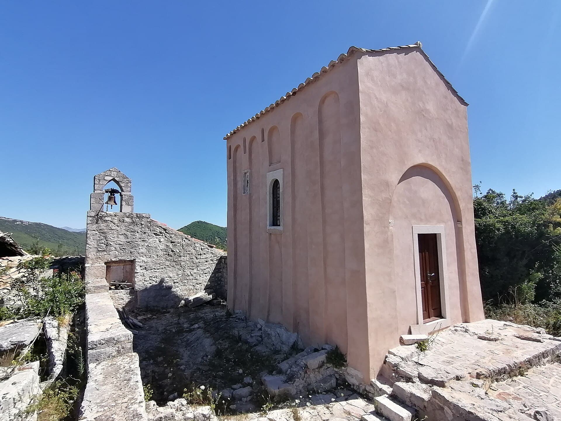
the Church of St. Michael near Ston is one of the oldest churches on Pomorje, which is located not far from today's Ston on Pelješac, and is considered to be the endowment of the first Serbian king, Mihailo Vojislavljevic
Category:Rotonda (Ošlje)
Landmark · Ošlje
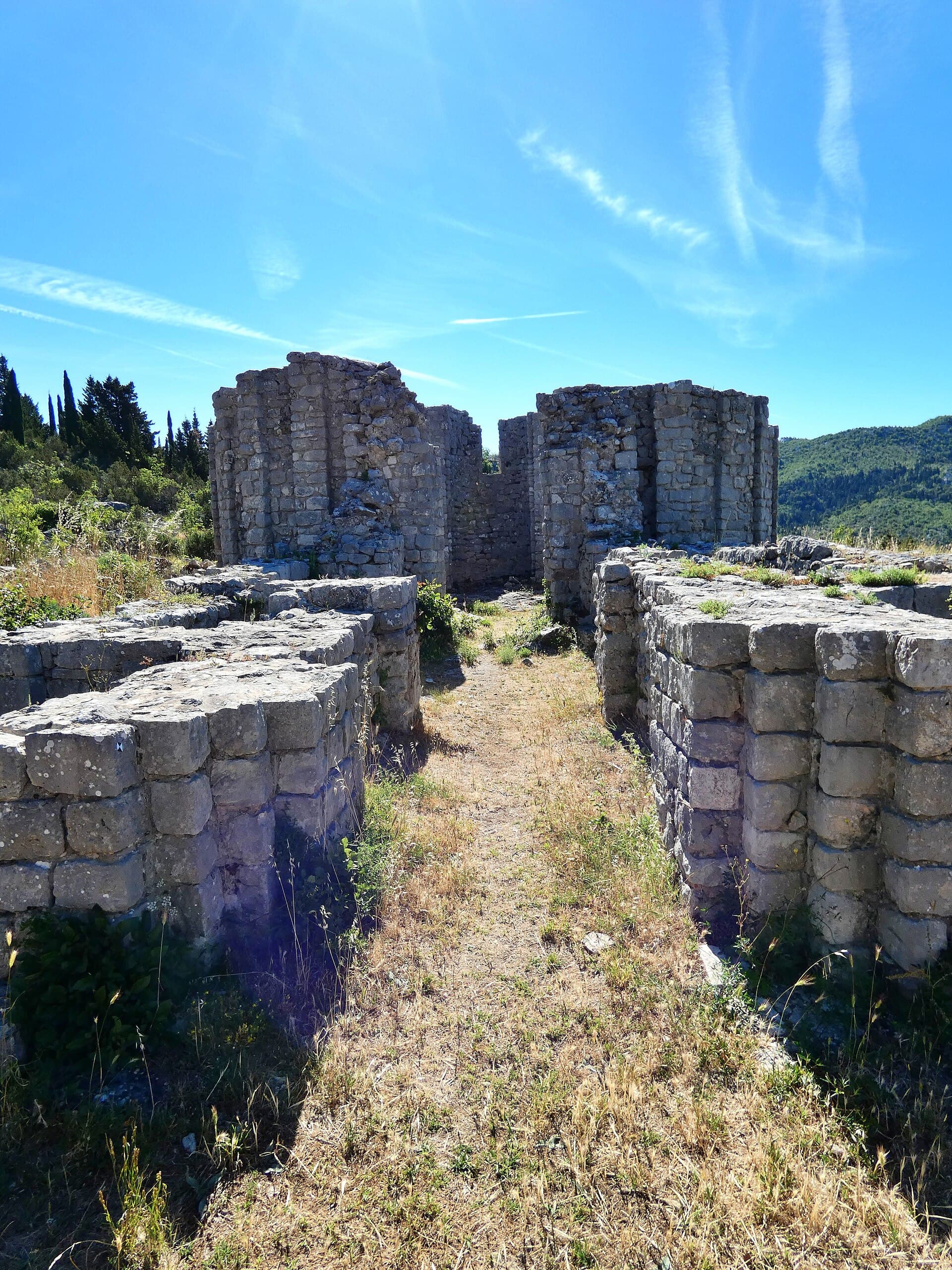
The Rotunda above Ošlje is Croatia’s unique ruined church with a circular plan and eight semicircular apses.
7 km from Ston
Category:Church of St. Martin in Čepikuće
Landmark · Visočani
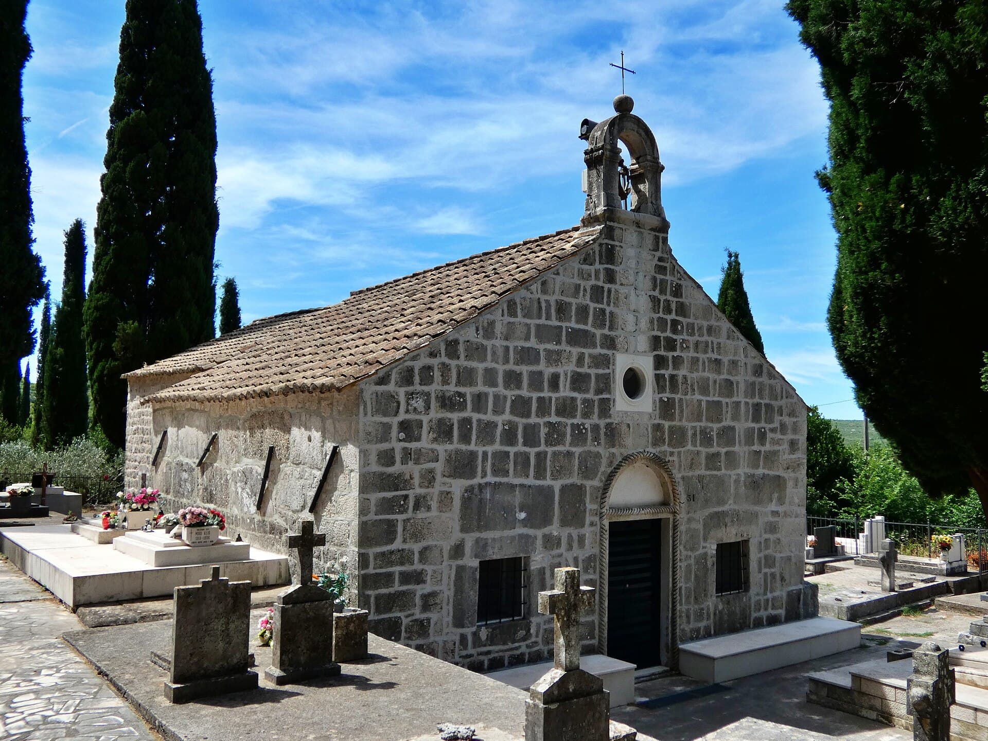
The Church of St Martin and its cemetery are a protected sacred heritage site in Čepikuće.
12 km from Ston
Stays nearby
- Apartment
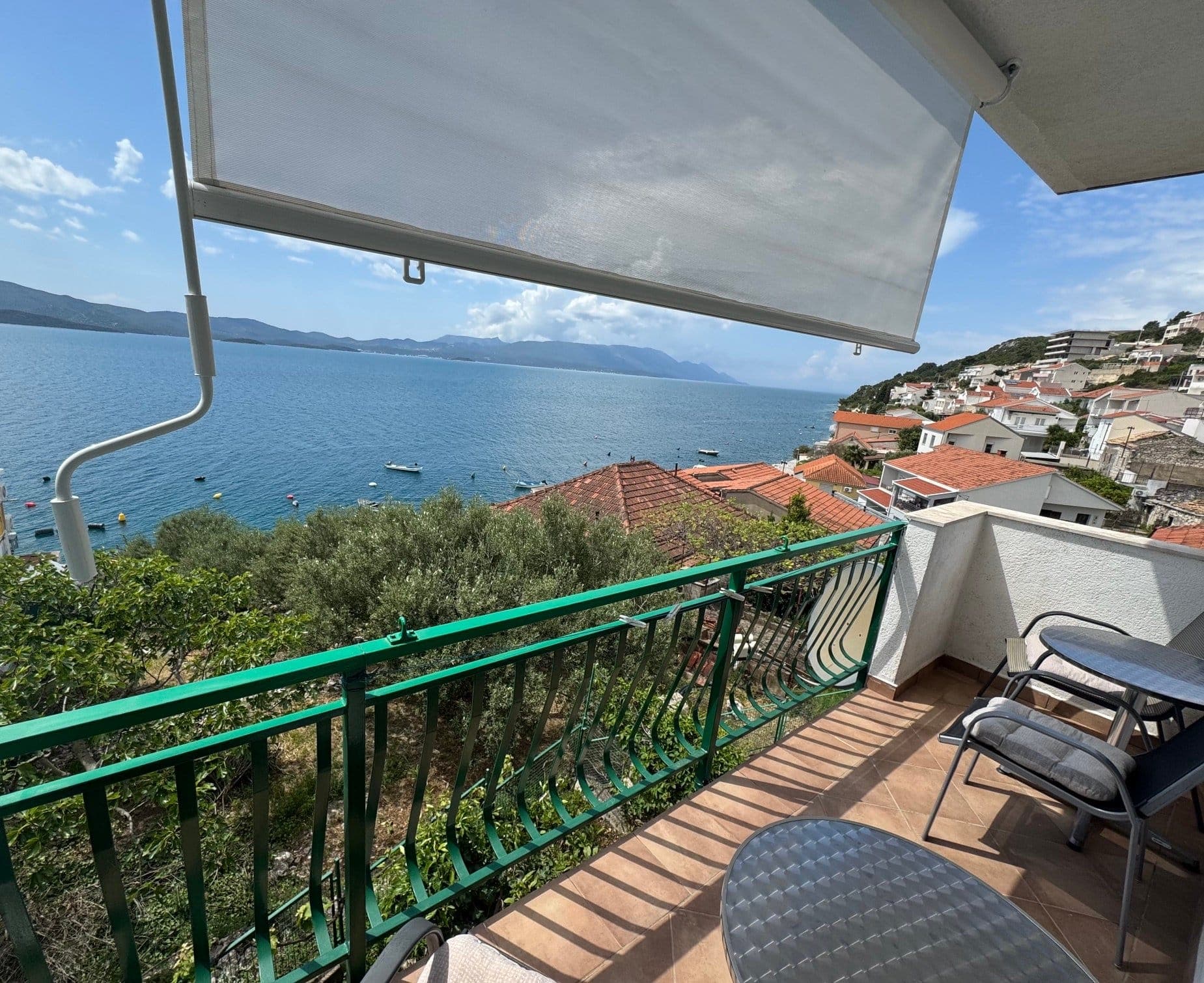 18 km from Ston
- Apartment
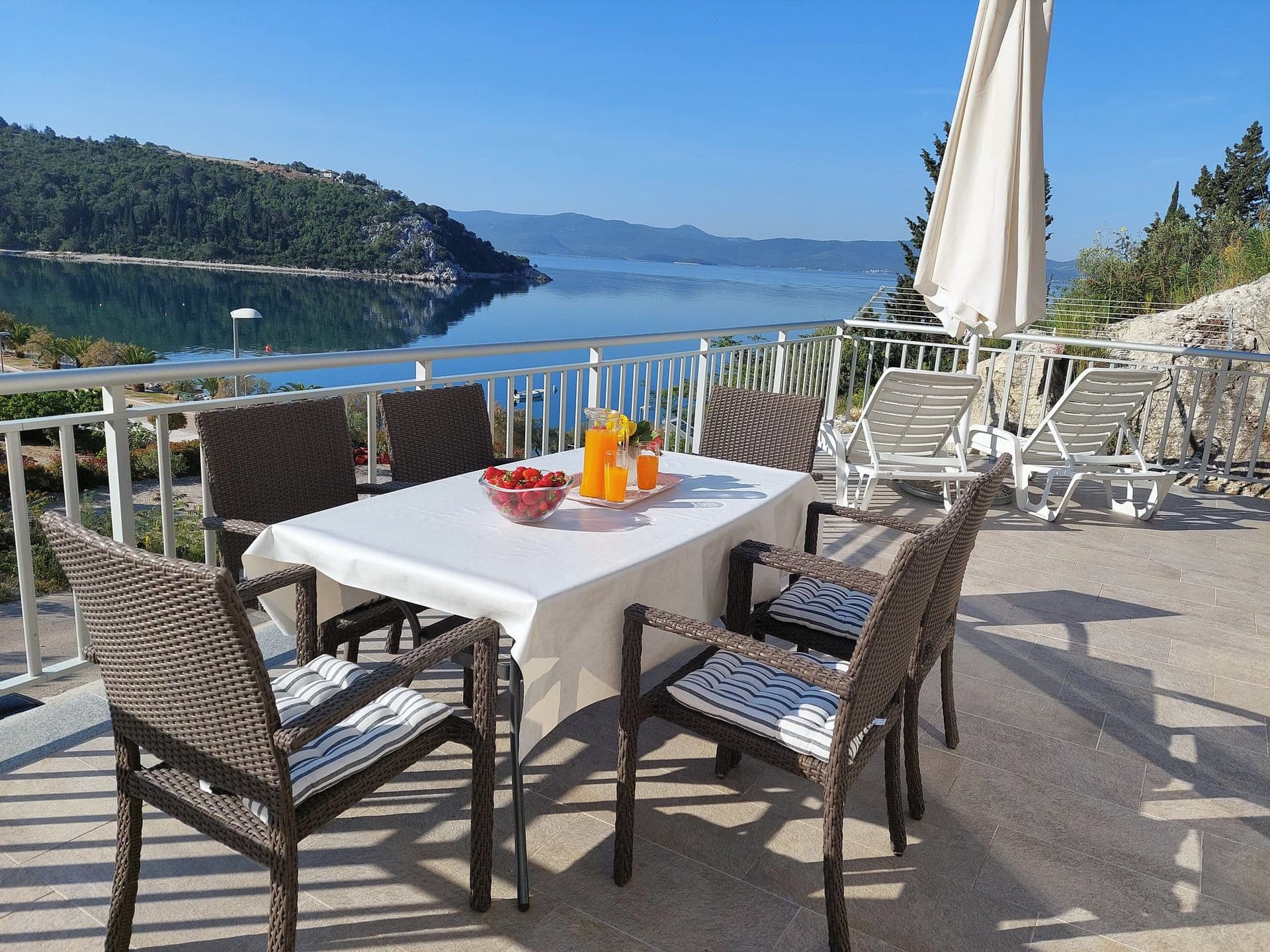 23 km from Ston
Apartman Frana DeLux - prvi red do mora, plaža 20 m
Opuzen
up to 6 guests · 2 bedrooms
from €100 / night
Check availability
Be the first to list here
Guests looking for this place only see stays nearby for now. No commission, and enquiries come straight to you.
List your accommodation
Beaches
Bathing water quality nearby
- Ston · 333 mgood
- Broce · 2.6 kmexcellent
- Prapratno · 2.7 kmexcellent
Source: European Environment Agency (EEA); data from Croatian authorities. · bathing water profile
Things to do
Begin a Ston day on the walls, where the climb gives the clearest view of Placa, the ordered streets and the geometry of the salt pans. Match the walk to the sections open that day, since the historic fortification system is not identical to the current visitor route. Afterwards, continue to the Ston Saltworks, whose shallow pools explain why the Republic of Dubrovnik fortified the isthmus in the first place. Then follow Placa through the buildings inside Ston’s town wall, saving Mali Ston and its view over the bay for later. This sequence links the high perspective of the fortifications with the town’s streets and salt-making heritage at ground level.
Food and drink
Ston’s food culture begins with the Bay of Mali Ston, Croatia’s largest shellfish-farming area, where oysters and mussels have long been cultivated. The name “Malostonska kamenica” entered the EU register of protected designations of origin in 2020. In Mali Ston, the official visitor offer names Bota Šare among the providers of boat trips to oyster farms, making it possible to taste oysters beside the sea where they are grown. Around Ston, pair shellfish with local sweet specialities: stonski makaruli, mantala, kotonjata, fritters, rožata and sugared almonds are distinctive finishes to a Pelješac meal.
Tours and activities
AdAd · partner offers: Viator, GetYourGuideThe partner handles booking, payment and support. StayBravo may earn a commission on bookings made through these links.How we choose offersWe choose offers based on the page you are viewing: the partner destination for this place or the nearest one (with its distance), and on a sight page only offers that mention it. We show offers rated at least 4.3 with at least 10 reviews, without multi-day tours or pure transfers, ordered by rating adjusted for the number of reviews and then by the partner’s order. We do not use data about you, and the commission does not affect the order.GetYourGuide offers are selected and ordered by GetYourGuide based on the name of the nearest larger town or national park; we do not influence their selection and do not use data about you.GetYourGuide · Ston
We show GetYourGuide offers once you allow their cookies.
Viator
Nearest destination: Dubrovnik (37 km)

Dubrovnik: 7 Caves & Blue Cave Speedboat Tour (4h) (opens in a new tab)
Explore the famous Blue Cave and hidden sea caves on a small-group speedboat tour (max 8 guests) from Dubrovnik. Enjoy more time for swimming, snorkeling, and photo stops, plus complimentary drinks…
Rated 5 out of 5 · 1,967 reviews· 4 h
Free cancellation
from €60
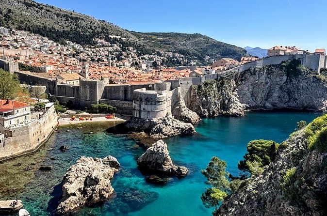
Game of Thrones and Old City Walking Tour in Dubrovnik (opens in a new tab)
Discover Dubrovnik & King's Landing – Two Experiences in One! Explore Dubrovnik's fascinating history and iconic Game of Thrones filming locations on an unforgettable 3-hour walking tour through the…
Rated 5 out of 5 · 965 reviews· 2.5–3 h
Free cancellation
from €33

Dubrovnik: Game of Thrones Walking Tour (opens in a new tab)
Meet the real King's Landing! This tour is guided by a licensed tour guide (by the Croatian Ministry of Tourism), fluent in English (or Spanish, depending which language you book) and a Game of…
Rated 5 out of 5 · 1,930 reviews· 2 h
Free cancellation
from €25

E-Tuk Tuk Tour in Dubrovnik (opens in a new tab)
This tour is ideal for the guests that want to avoid crowds. In this electric Tuk Tuk tour, we will go to the main viewpoints which are not accessible for the bigger vehicles. It is environmentally…
Rated 5 out of 5 · 1,920 reviews· 1.8 h
Free cancellation
from €40

Dubrovnik Superman Zipline: 900m Over Adriatic Sea (opens in a new tab)
If you're searching for adrenaline and unique experience this is an activity for you. This 900 metres long Zipline is located on the Adriatic Sea, only 4 km from the Old town Dubrovnik. The superman…
Rated 5 out of 5 · 692 reviews· 1.3 h
Free cancellation
from €50

Dubrovnik: Sunset Kayaking & Snorkeling with water &wine (opens in a new tab)
Enjoy Dubrovnik's top summer activity and experience beautiful local natural and historical heritage in this 2 or 3 hour guided sea kayaking tour from the seaside. This tour features informative…
Rated 5 out of 5 · 1,231 reviews· 3 h
Free cancellation
from €40
Practical information
Practical information
The Municipality of Ston Tourist Board is at Gundulićeva poljana 1. Its published 2026 hours are 8:00–15:00 Monday to Friday and 8:00–13:00 on Saturday in summer, with weekday opening from 8:00–14:00 in winter. Water, sun protection and shoes with reliable grip are important on the walls because the route is steep, stepped and largely exposed. The official visitor map marks a clinic, pharmacy, ATM, post office, bus stop and public toilet in or beside central Ston. A saltworks visit should be coordinated with its current tour arrangements, particularly during the summer harvesting period.
Parking
Ston operates paid public parking through the municipal company Komunalno društvo Ston, so visitors should leave their vehicle in a marked area outside the medieval core. On 15 September 2026, the municipality published a specific decision governing vehicle entry into the Old Town, following notice that the new access regime would begin that same day; drivers staying within the walls should therefore not assume unrestricted door-to-door access. From the outer parking areas, Placa, Kaštio fortress, the saltworks and the lower walls entrance are reached on foot. As the published parking framework dates from 2016 while the Old Town access rules changed in 2026, the current tariff should be read from the entrance signage or payment machine.
Getting there and around
Ston lies 59 kilometres north-west of Dubrovnik on the principal road approach to Pelješac. Libertas Dubrovnik operates county bus services in the Municipality of Ston, with the Dubrovnik–Ston connection listed in its western suburban timetable; departures should be checked against the current summer or winter schedule. Drivers reach Ston by road across the isthmus, without a ferry. From Prapratno, around two kilometres away, ferries continue to Mljet. The wall route provides a dramatic pedestrian connection between Ston and Mali Ston, but its steep climb makes it unsuitable as an accessible transfer option for travellers carrying luggage.
Frequently asked questions
How long are the surviving Walls of Ston?
The surviving fortification system linking Ston and Mali Ston extends for approximately 5.5 kilometres.
When did Ston become part of the Republic of Dubrovnik?
Ston and Pelješac came under the Republic of Dubrovnik in 1333, after which the planned town and its defensive system were developed.
Where is the nearest sandy beach to Ston?
Prapratno is approximately two kilometres from Ston and has a long sandy beach beside the Mljet ferry terminal.
Why is the Church of St Michael important?
The pre-Romanesque church on Gradac hill dates from the ninth or early tenth century and preserves important early Romanesque frescoes.
When did construction of the Ston Walls begin?
Construction began in 1333, when the Republic of Dubrovnik developed Ston and Mali Ston as fortified settlements.
Which street forms Ston’s main axis?
Placa is the main street, running east to west through the town’s regular grid.
Why were the Ston salt pans important?
The salt pans were a key economic resource for the Republic of Dubrovnik and a principal reason for fortifying the isthmus.
Do the walls connect Ston and Mali Ston?
Yes. The Great Wall crosses the slopes above the isthmus and historically links the two settlements.
Which fortification stands above Ston?
Podzvizd fortification stands on the rise above the town.
Nearby
Ston
Open in OpenStreetMap(opens in a new tab)straight-line distance
Related guides
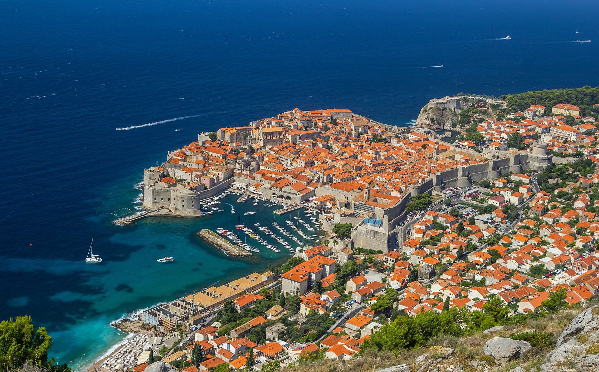
Dubrovnik
Dubrovnik’s historic centre is organised around Stradun, yet its character changes within a few steps of that main street. At the western end beside Pile stand the Large Onofrio Fountain,…
Read the guide

Orebić
Orebić is the main settlement of south-western Pelješac and has been tied to seafaring for centuries. Captains’ houses and gardens along the coastal area recall the period when Orebić…
Read the guide
Blato, Korčula
Blato is not a seaside centre but a historic inland settlement in western Korčula’s fertile interior, while its municipality reaches Prigradica on the north coast and Prižba, Gršćica,…
Read the guide
Vela Luka
Vela Luka grew at the head of a deep bay on western Korčula, where a long waterfront links the harbour, the centre around St Joseph’s Church and the former shipbuilding area. Its maritime…
Read the guide
Know Ston? Correct us
Tell us in your own words what is not accurate. We check right away.Do not enter personal data. Corrections are checked by the StayBravo AI assistant; changes to the description are approved by an editor. Use the form instead
Do you know Ston?
Help the guests who come after you.
Help us complete
Nothing is published without an editor’s review.Report illegal content
Photo credits: Ston — Carsten Steger (CC BY-SA 4.0) · Mali Ston — Pudelek (Marcin Szala) (CC BY-SA 3.0) · Broce — Quahadi Añtó 08:29, 19 February 2015 (UTC) (CC BY-SA 3.0) · Hodilje — Quahadi Añtó 07:17, 21 December 2012 (UTC) (CC BY-SA 3.0) · Zamaslina — Quahadi Añtó 06:53, 21 December 2012 (UTC) (CC BY-SA 3.0) · Duba Stonska — Quahadi Añtó 10:27, 22 December 2012 (UTC) (CC BY-SA 3.0) · Metohija — Quahadi Añtó 17:06, 17 February 2012 (UTC) (CC BY-SA 3.0) · Zaton Doli — Quahadi Añtó 19:42, 24 December 2014 (UTC) (CC BY-SA 3.0) · Boljenovići — August Dominus (CC BY-SA 3.0) · Church of Saint Micheal near Ston — Nemanja Todorović Štiplija (CC BY-SA 4.0) · Category:Rotonda (Ošlje), Category:Church of St. Martin in Čepikuće — Ma▀▄Ga (CC BY 4.0) · Apartmani Stella — Zvjezdana Bebić (courtesy of the property owner) · Apartman Frana DeLux - prvi red do mora, plaža 20 m — Ivan Mador (courtesy of the property owner) · Dubrovnik — Zysko serhii (CC BY-SA 4.0) · Orebić — Quahadi Añtó 11:23, 15 January 2011 (UTC) (CC BY 3.0) · Blato, Korčula — d.graso (CC BY 3.0) · Vela Luka — Wojtkow (CC BY-SA 4.0)