
Donji Lapac
About this place
Donji Lapac stands in the middle of Lapačko Polje, an eastern Lika karst basin between Mount Plješivica and the Una valley. The settlement developed at an important historic crossroads, while the 666-metre hill of Obljaj rises south of today’s centre on the site of medieval Stari grad Lapac. The wider Lapac region remained under Ottoman rule from 1527 until 1791, when the Treaty of Sistova brought it into the Military Frontier; Donji Lapac became a separate district centre in 1892. Today, its appeal lies in the open polje, the forested slopes of Plješivica and proximity to the Una. A municipal cycling route runs from Donji Lapac through Dnopolje, follows a forest track below Ozeblin and crosses the Manita Draga pass before returning via the Korenica road. Near the Una, an educational trail has been created at Donji Štrbci, close to the major Štrbački Buk waterfall on the Croatian–Bosnian border. Donji Lapac is not a seaside resort and has no developed beaches; water-based scenery here means the Una, waterfalls and a sensitive border landscape. County bus route 11 links the settlement with Korenica and onward connections across Lika.
Donji Lapac occupies the centre of Lapačko Polje, an eastern Lika karst basin bounded by the mountain landscape of Plješivica and the route towards the Una. South of the settlement, the 666-metre hill of Obljaj marks the position of medieval Stari grad Lapac and forms the field’s most recognisable historic landmark. The Lapac section of the Una region remained within the Ottoman Empire until the Treaty of Sistova in 1791, considerably longer than much of Lika west of Plješivica. Donji Lapac subsequently developed as a Military Frontier and administrative centre, becoming the seat of a separate district in 1892. Its present-day identity combines an expansive karst field, outlying hamlets, wooded mountain slopes and the nearby border valley of the Una.
Things to see
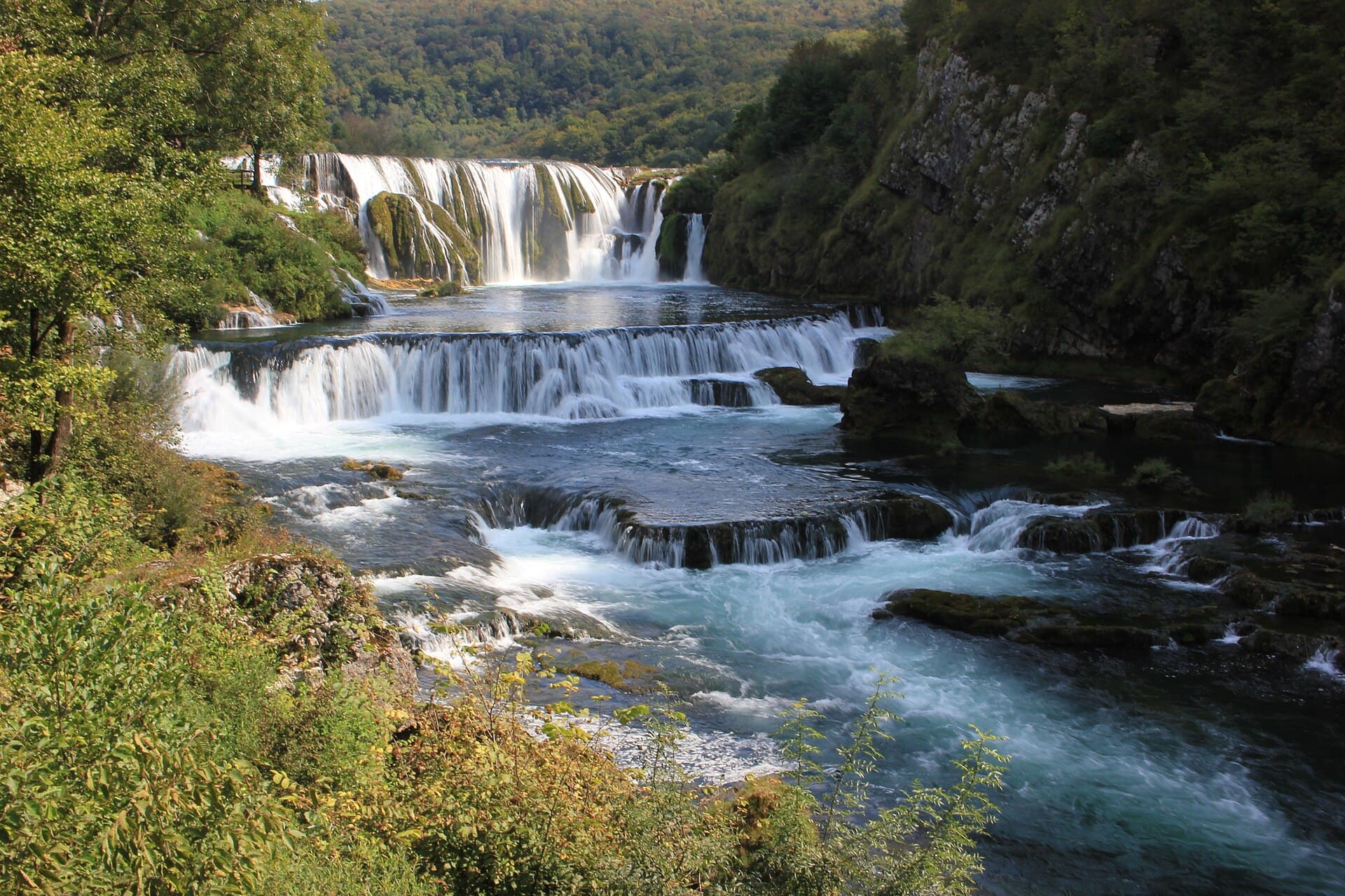
Štrbački buk
Nature · Gornji Štrbci
waterfall in Croatia and Bosnia and Herzegovina
12 km from Donji Lapac
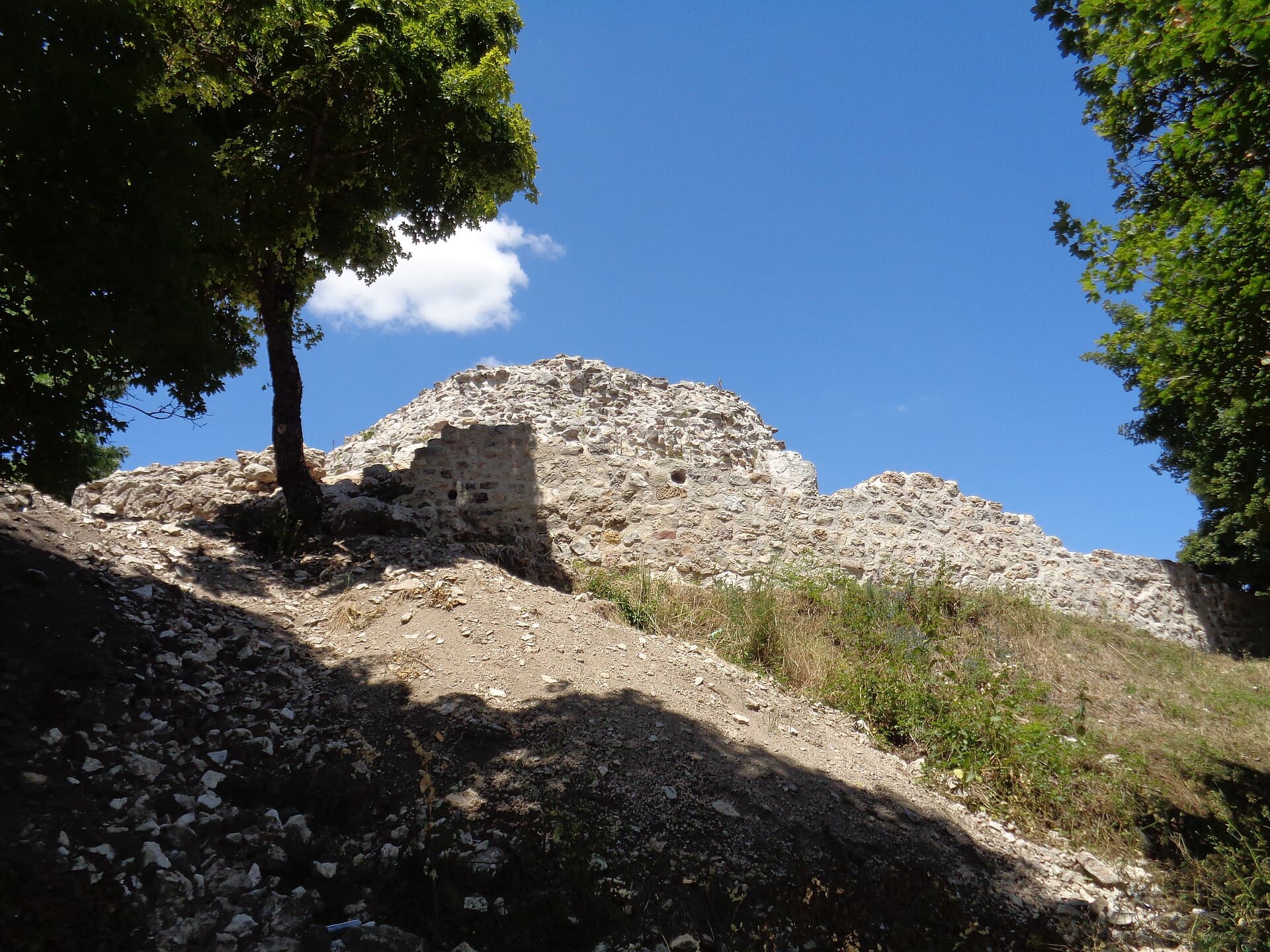

Crkva hrvatskih mučenika na Udbini
Landmark · Udbina
church building in Udbina, Croatia
16 km from Donji Lapac

Stays further afield
- Villa
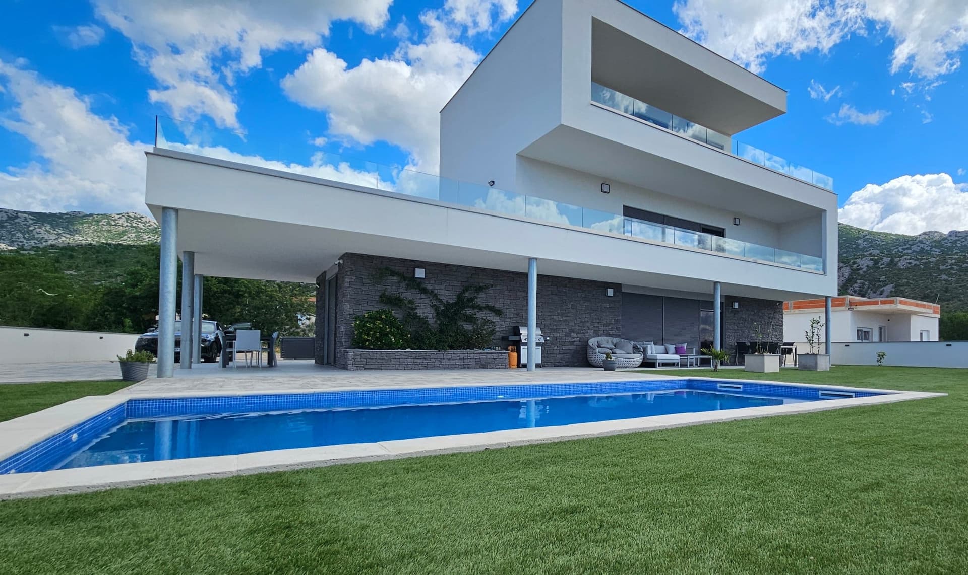 49 km from Donji Lapac
- Holiday home
 51 km from Donji Lapac
- Apartment
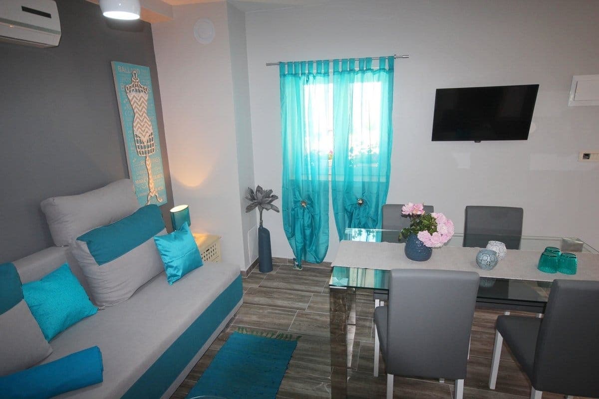 62 km from Donji Lapac
- Apartment
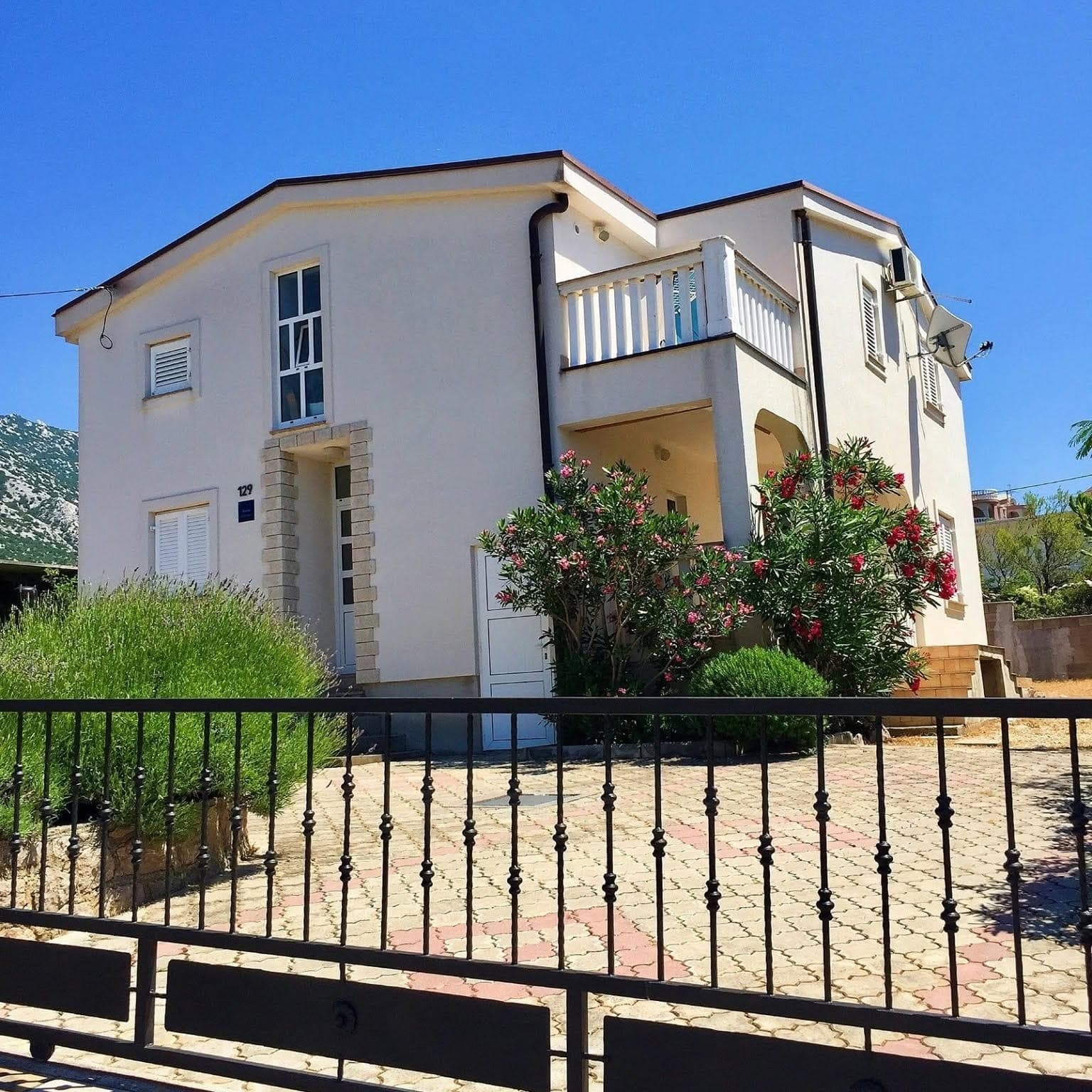 75 km from Donji Lapac
- Holiday home
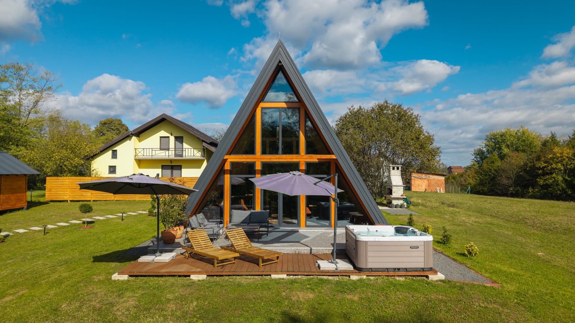 83 km from Donji Lapac
- Apartment
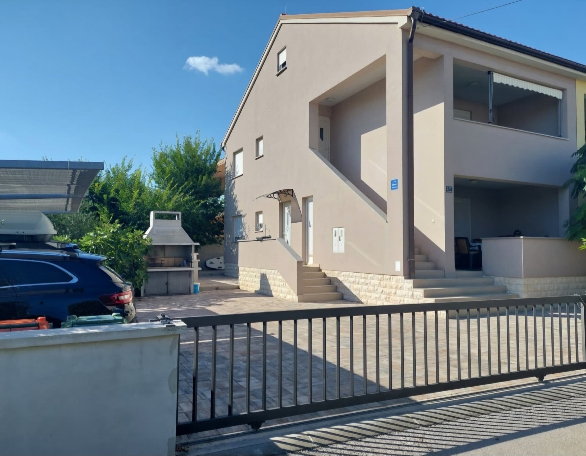 90 km from Donji Lapac
- Apartment
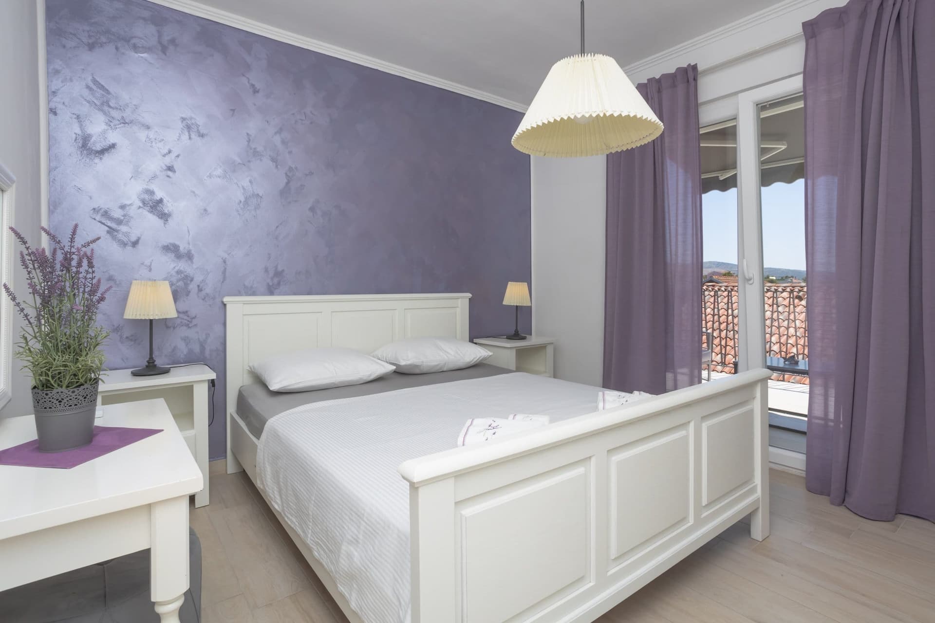 99 km from Donji Lapac
- Apartment
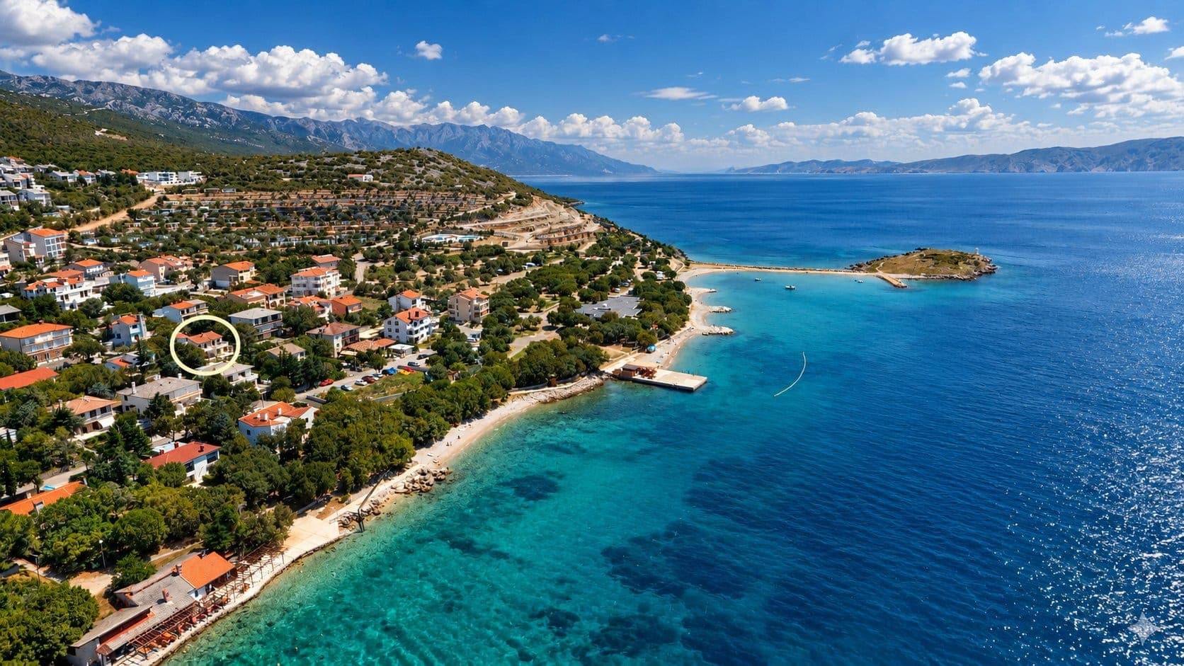 Klenovica · 108 km from Donji Lapac
Be the first to list here
Guests looking for this place only see stays nearby for now. No commission, and enquiries come straight to you.
List your accommodation
Beaches
Donji Lapac has no seaside beach; its most rewarding waterside outing leads east to the River Una. At Štrbački Buk, the river tumbles across travertine barriers in a sequence of cascades, making this a place for waterfall views and walking rather than a conventional day at a managed bathing beach. The Una educational trail at Štrbci introduces the river landscape from the Croatian side of the border. Access is through Donji Štrbci and Kestenovac, where the municipal plan designates riverside recreation areas but does not identify a serviced beach or lifeguarded swimming site.
Things to do
Begin in central Donji Lapac by taking in the open expanse of Lapačko Polje and Obljaj hill, the former site of medieval Stari grad Lapac. For a more active circuit, follow the documented cycling route through Dnopolje and onto the slopes of Plješivica; it uses a forest gravel road below Ozeblin, crosses the Manita Draga pass and returns along the Korenica–Donji Lapac road. To encounter the Una landscape, continue towards Donji Štrbci and its Una Educational Trail. The major Štrbački Buk waterfall lies in the same border area. As several viewpoints and approaches run close to the international boundary, visitors should remain on marked roads and paths and carry valid identification documents.
Tours and activities
AdAd · partner offers: Viator, GetYourGuideThe partner handles booking, payment and support. StayBravo may earn a commission on bookings made through these links.How we choose offersWe choose offers based on the page you are viewing: the partner destination for this place or the nearest one (with its distance), and on a sight page only offers that mention it. We show offers rated at least 4.3 with at least 10 reviews, without multi-day tours or pure transfers, ordered by rating adjusted for the number of reviews and then by the partner’s order. We do not use data about you, and the commission does not affect the order.GetYourGuide offers are selected and ordered by GetYourGuide based on the name of the nearest larger town or national park; we do not influence their selection and do not use data about you.GetYourGuide · Donji Lapac
We show GetYourGuide offers once you allow their cookies.
Viator
Nearest destination: Plitvice Lakes National Park (46 km)
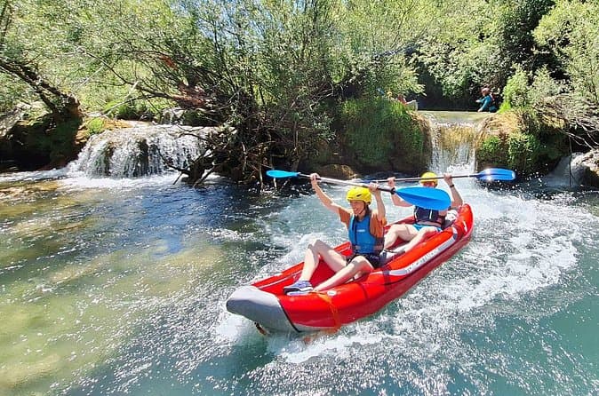
Mreznica Waterfalls Kayaking Adventure Near Plitvice Lakes (opens in a new tab)
Discover the hidden canyon of the Mreznica River, just 30 minutes from Plitvice Lakes. Unlike crowded tourist attractions, this kayaking adventure takes you through crystal-clear water, small…
Rated 5 out of 5 · 147 reviews· 4 h
Free cancellation
from €55
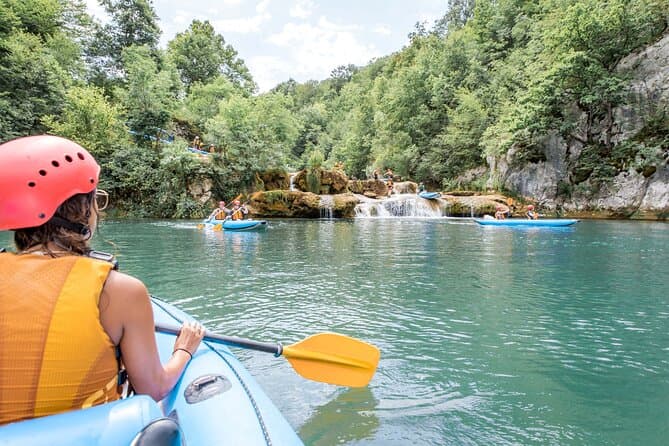
Kayaking at the Mreznica Canyon (opens in a new tab)
Get back to nature on a small-group Mrežnica Canyon kayaking tour (max 16 people vs standard 20+). Enjoy the upper canyon of Mreznica between Primislje and Trzic, the most beautiful part of the…
Rated 5 out of 5 · 184 reviews· 3 h
Free cancellation
from €50
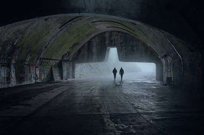
Zeljava Airbase: History and Adventure Tour/Plitvice (opens in a new tab)
Explore the abandoned military complex of Zeljava Airbase with a local guide. Discover its strategic role during the Cold War and its connection to the fall of Yugoslavia. Wander through massive…
Rated 5 out of 5 · 96 reviews· 2 h
Free cancellation
from €50
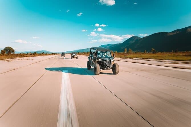
3,5 hours Guided Buggy Tour in Plitvice lakes (opens in a new tab)
If you like a combination of adrenaline and nature, then Inspiration Resort is the right place for you! We offer you an unforgettable adventure - guided tours on buggy vehicles in the surroundings…
Rated 5 out of 5 · 73 reviews· 3.5 h
Free cancellation
from €129
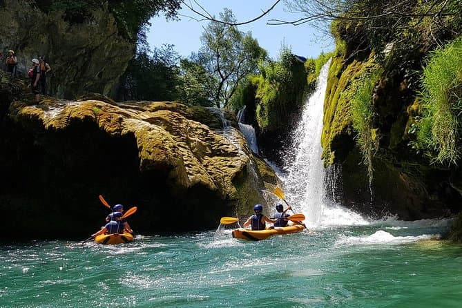
Kayaking Mrežnica river (opens in a new tab)
We’re passing through the most beautiful part of Mrežnica, length of 5 kilometers with abundance of magical places for swimming and recreation. You will pass in total 9 waterfalls and 3 rapids…
Rated 4.9 out of 5 · 171 reviews· 4 h
Free cancellation
from €65
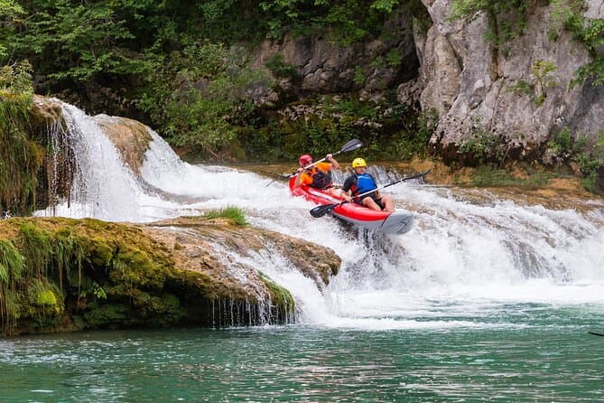
Kayaking in Mreznica Waterfalls near Slunj and Plitvice Lakes (opens in a new tab)
This is a unique opportunity to discover one of the most beautiful rivers in Croatia ho is hidden in the canyon and you can explore her only by kayaking. You'll be able to make amazing memories of…
Rated 5 out of 5 · 56 reviews· 3 h
Free cancellation
from €50
Practical information
Getting there and around
The main road into Donji Lapac is the D218, linking the Užljebić border crossing, the village itself and Bjelopolje on the D1. In 2026, county bus route 11 operated by Lika Line connects Donji Lapac with Korenica; because services changed on 1 August 2026, check the published timetable shortly before travelling. Drivers continuing towards the Una leave the D218 for local roads through the Donji Štrbci and Kestenovac area. Donji Lapac has no active passenger railway station, so arriving by bus or car remains the practical choice.
Frequently asked questions
Where was medieval Stari grad Lapac?
Stari grad Lapac stood on the isolated 666-metre hill of Obljaj, south of Donji Lapac.
Where does the Donji Lapac cycling route lead?
The route passes through Dnopolje, follows the Plješivica slopes below Ozeblin and crosses Manita Draga before returning along the road from Korenica.
Nearby
Donji Lapac
Open in OpenStreetMap(opens in a new tab)Smaller places
straight-line distance
Related guides

Karlobag
Karlobag occupies a narrow strip between the Velebit Channel and the mountain’s steep western slopes, facing the island of Pag. The Adriatic Highway passes through town, while the D25…
Read the guide

Karlovac
Karlovac began as a deliberately planned fortified town, and the present-day centre is still defined by the geometry of the Zvijezda and by the river corridors surrounding it. Rather than a…
Read the guide
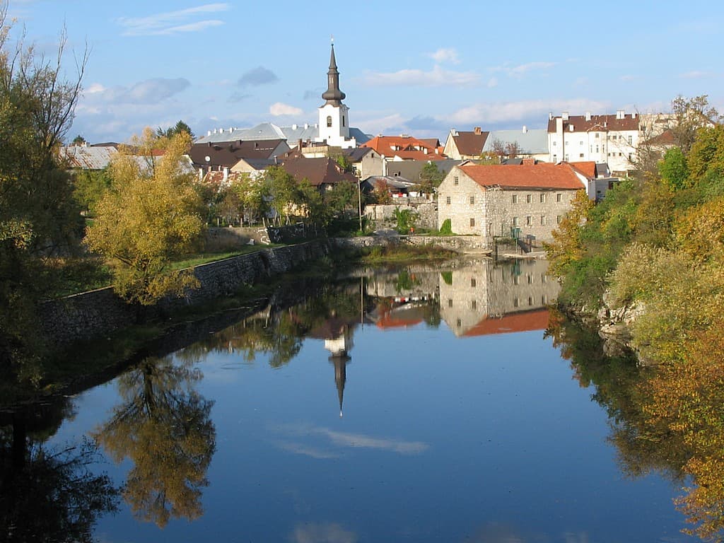
Gospić
Gospić is the principal urban centre of Lika-Senj County, yet as a visitor destination it is difficult to separate from the broad Lika field and nearby Velebit. The official tourist board…
Read the guide
Duga Resa
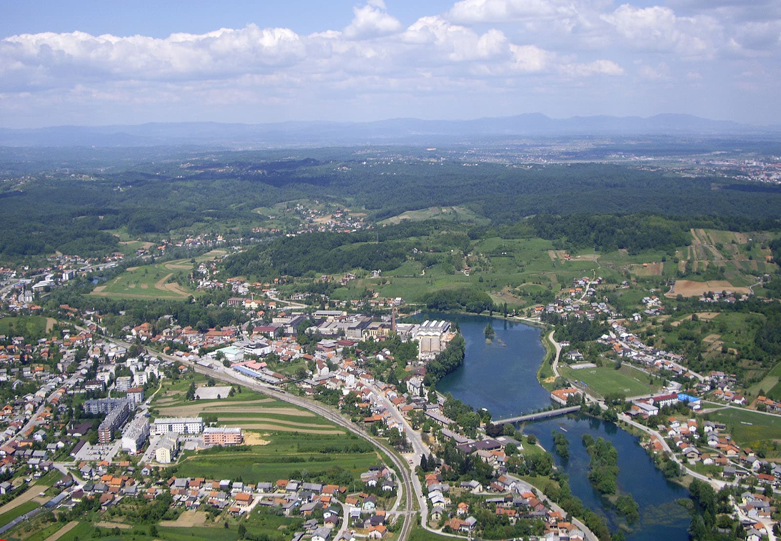
Duga Resa is a town whose development is inseparable from the Mrežnica. The river runs through the settlement and serves simultaneously as a recreational space, natural landmark and part of…
Read the guide
Know Donji Lapac? Correct us
Tell us in your own words what is not accurate. We check right away.Do not enter personal data. Corrections are checked by the StayBravo AI assistant; changes to the description are approved by an editor. Use the form instead
Do you know Donji Lapac?
Help the guests who come after you.
Help us complete
Nothing is published without an editor’s review.Report illegal content
Photo credits: Donji Lapac — Fredo2503 (CC BY-SA 4.0) · Birovača — Zmaj123 (CC BY-SA 4.0) · Štrbački buk — Julian Nyča (CC BY-SA 3.0) · Udbina Castle — Silverije (CC BY-SA 4.0) · Crkva hrvatskih mučenika na Udbini — Croq (CC BY-SA 3.0) · Cerovac caves — Crowanderers (CC BY-SA 4.0) · Villa Slatki — Saša Slatki (courtesy of the property owner) · Farm stay' ranch-Plitvice — Partner (courtesy of the property owner) · Apartmani Rustica — Zdenko Dusevic (courtesy of the property owner) · Apartman Mira — Marijan Ćaćan (courtesy of the property owner) · Kuća za odmor Green Zen — IVICA ŠKRINJARIĆ (courtesy of the property owner) · APARTMAN COTA — Jadranka Cota (courtesy of the property owner) · Dalma Residence — Marin Radić (courtesy of the property owner) · Apartmani Klenovica.eu — Ljiljana Pavkovic (courtesy of the property owner) · Karlobag — Orlovic (Public domain) · Karlovac — Bukovacka (CC BY-SA 4.0) · Gospić — INekic (CC BY-SA 4.0) · Duga Resa — Tomica at English Wikipedia (CC BY-SA 3.0)