
Karigador
About this place
Karigador is a small seaside settlement in the municipality of Brtonigla–Verteneglio, positioned between Novigrad and Umag on Istria’s western coast. It lies approximately six kilometres north of Novigrad and eight kilometres from Umag, giving it a distinctly coastal setting compared with inland Brtonigla. The village faces a shallow bay and small harbour and historically served as a loading and trading point on maritime routes connected with Venice. Local tradition associates the Italian name Carigador with the idea of a “golden loading port”. Its waterfront includes a quay, breakwater, bathing areas and sea access, while municipal planning documents call for a continuous coastal promenade as well as space for cycling infrastructure and a sports harbour. Karigador also provides a useful base for cycling inland towards Fiorini, Nova Vas and Brtonigla or south along the coast towards Dajla and Novigrad. Since the main bus stations and denser scheduled services are in Novigrad and Umag, a car or bicycle makes local travel easier. Karigador best suits visitors seeking a small Istrian village by the water rather than the urban fabric of a larger resort.
Karigador belongs to the bilingual municipality of Brtonigla–Verteneglio but occupies the coast between Novigrad and Umag. Its shallow bay shaped a history of loading and exchange between Istria and Venice, while the settlement’s Italian name is Carigador d'Istria. Present-day life centres on the quay, breakwater, small harbour and low-rise waterfront rather than on a large urban square. Municipal planning for Karigador’s shoreline provides for bathing areas, sun decks, sea access, piers and an uninterrupted promenade. With Park Umag to the north and Dajla and Novigrad to the south, the village forms part of north-western Istria’s connected coastal tourism strip.
Things to see
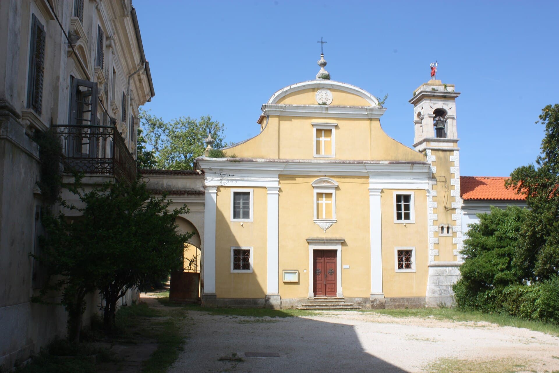
Dajla Abbey
Landmark · Dajla
former Benedictine monastery near Novigrad, Istria County, Croatia
2 km from Karigador
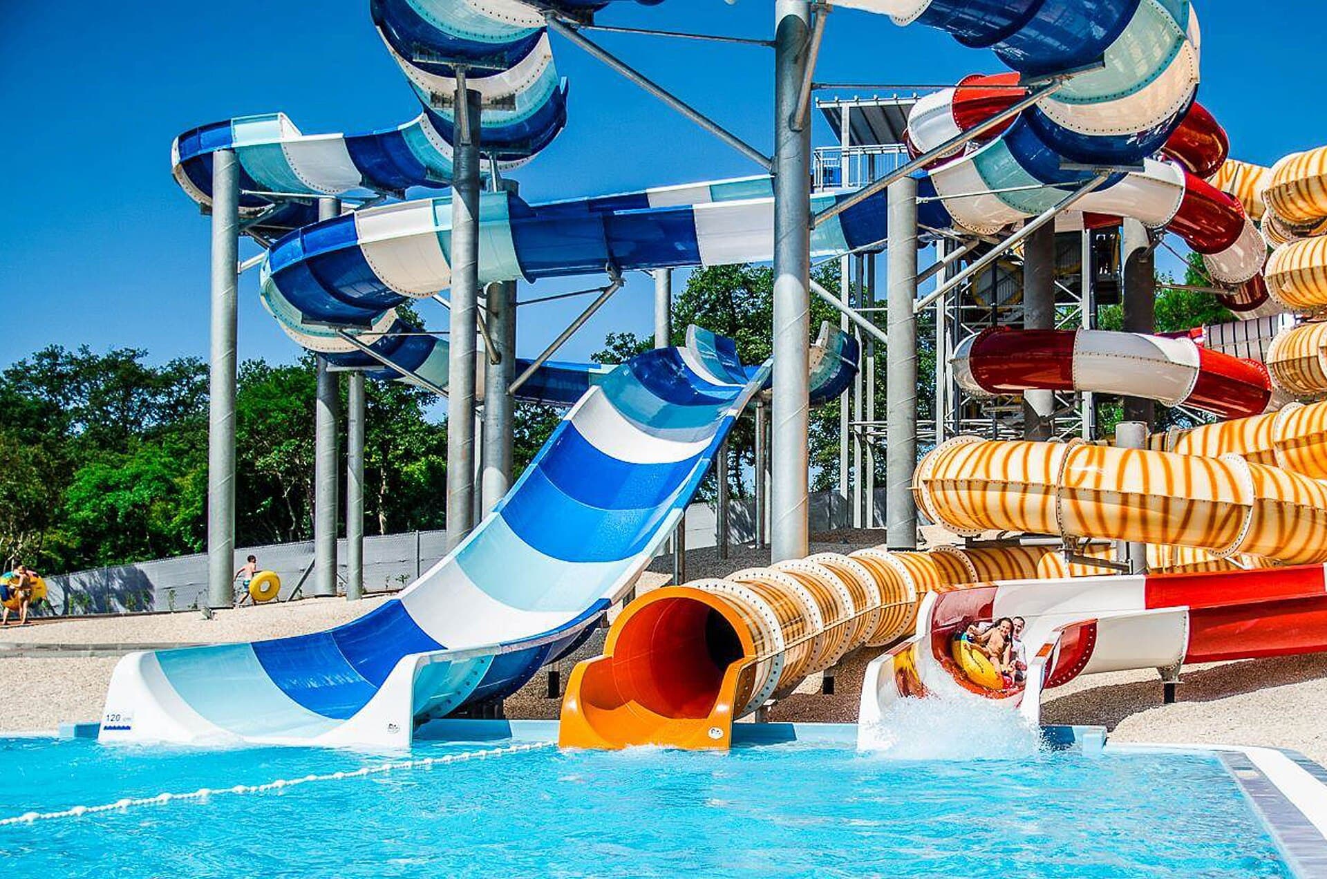

Church of Saint Pelage in Novigrad, Istria
Landmark · Novigrad
church building in Novigrad, Croatia
5 km from Karigador
Stays nearby
- Apartment
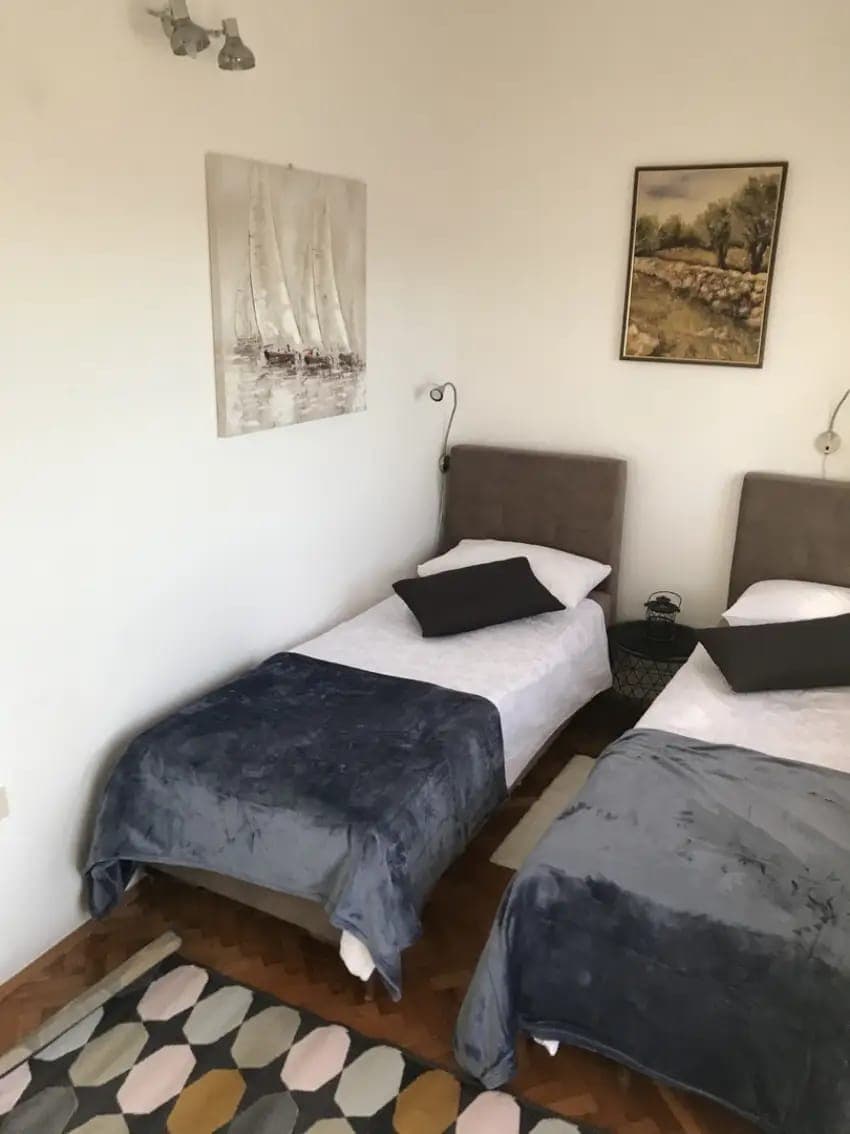 6 km from Karigador
- Apartment
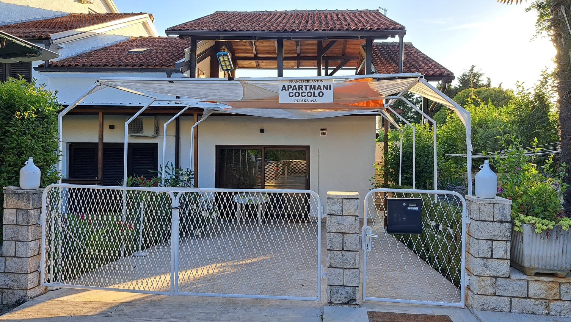 16 km from Karigador
Be the first to list here
Guests looking for this place only see stays nearby for now. No commission, and enquiries come straight to you.
List your accommodation
Beaches
Karigador’s bathing zone follows the bay, quay and neighbouring campsites, with a series of sea-access points rather than one long urban beach. Municipal planning specifically provides for beaches, sun decks, beach structures, breakwaters, piers and water-sports facilities while requiring continuity of the waterfront path. The shore is therefore divided into smaller bathing stretches beside rocky and developed sections of the waterfront. For a broader coastal area, visitors can continue north towards the Park Umag tourism zone or south towards Dajla. The bay’s shallow form also shaped Karigador’s historic harbour function, so swimmers should remain clear of boat-manoeuvring areas and marked moorings.
Bathing water quality nearby
- Karigador - Molo · 1.2 kmexcellent
- Uvala Kanova - Ispod restorana · 1.6 kmexcellent
- AC Ladin Gaj - FKK (južni dio) · 1.6 kmexcellent
- Rt Malin - Ispod kafića Plaja · 1.8 kmexcellent
- Uvala Slanik · 2.2 kmexcellent
- Lovrečica - Molo · 2.5 kmexcellent
Source: European Environment Agency (EEA); data from Croatian authorities. · bathing water profile
Things to do
Begin the morning with a walk around Karigador’s small harbour and breakwater, the clearest vantage point for understanding the village’s position in a shallow bay. After a swim, cycle inland towards Fiorini: the official north-western Istria guide includes Karigador on a route passing Fiorini, Marincići, Turini, Druškovići and Nova Vas. Another option is to follow the coast towards Dajla and Novigrad, about six kilometres away. Return to Karigador’s waterfront in the evening, back at the centre of the former loading harbour. Combining the sea with short road-cycling stages works particularly well here because the village’s principal features are concentrated directly around the bay.
Tours and activities
AdAd · partner offers: Viator, GetYourGuideThe partner handles booking, payment and support. StayBravo may earn a commission on bookings made through these links.How we choose offersWe choose offers based on the page you are viewing: the partner destination for this place or the nearest one (with its distance), and on a sight page only offers that mention it. We show offers rated at least 4.3 with at least 10 reviews, without multi-day tours or pure transfers, ordered by rating adjusted for the number of reviews and then by the partner’s order. We do not use data about you, and the commission does not affect the order.GetYourGuide offers are selected and ordered by GetYourGuide based on the name of the nearest larger town or national park; we do not influence their selection and do not use data about you.Viator
Nearest destination: Poreč (16 km)
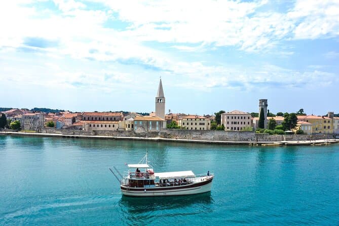
Morning Panorama: Relaxing Among 20 Islands around Poreč Riviera (opens in a new tab)
Start your journey from the port of Poreč, with panoramic view of Istrian west coast. Embark on a boat ride along the coast towards the beautiful town of Vrsar, which will take you on an…
Rated 4.9 out of 5 · 22 reviews· 2 h
Free cancellation
from €24
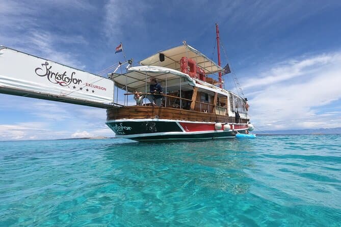
Fish Picnic excursion on Kristofor boat (opens in a new tab)
Ready for a day sea trip from Poreč to Rovinj? Enjoy an amazing view of the west coast of Istria and then a romantic walk through Rovinj. You'll be able to enjoy a delicious lunch on board just…
Rated 4.8 out of 5 · 27 reviews· 7 h
Free cancellation
from €50
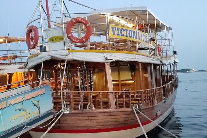
Exploration of the Istrian Coast Poreč Rovinj Lim fjord and Vrsar (opens in a new tab)
Islands, rocks, wildlife, bays, romantic villages... you will see the beautiful Istrian coast, taking a daily excursion with our beautiful wooden boat. Starting from Poreč you can see the various…
Rated 4.7 out of 5 · 42 reviews· 6 h
Free cancellation
from €40
GetYourGuide · Umag
We show GetYourGuide offers once you allow their cookies.
Practical information
Getting there and around
Karigador lies on the coastal corridor between Novigrad and Umag, approximately six kilometres from Novigrad and eight from Umag. Arriva connects the two towns’ bus stations throughout the year; the full Umag–Novigrad road journey covers 16 kilometres and takes about 20 minutes, depending on the service and seasonal traffic. As the operator identifies Umag and Novigrad as the principal stations, travellers should check the exact stop for the final leg to Karigador in advance or continue by taxi. A bicycle is a useful local alternative because official north-western Istria routes pass through Karigador and connect it with Fiorini and villages in the Brtonigla hinterland.
Frequently asked questions
How far is Karigador from Novigrad?
Karigador lies about six kilometres north of Novigrad.
Can you cycle from Karigador towards Brtonigla?
Yes; an official cycling guide routes riders from Karigador through Fiorini and settlements in the Brtonigla hinterland.
Does Karigador have a waterfront path?
The municipal plan requires a continuous waterfront path along Karigador’s quay and harbour area.
Nearby
Karigador
Open in OpenStreetMap(opens in a new tab)straight-line distance
Related guides
Novigrad
Novigrad-Cittanova developed on Istria’s north-western coast near the mouth of the Mirna, in a maritime setting that shaped centuries of fishing and trade. The historic centre still…
Read the guide
Funtana
Funtana sits on Istria’s west coast along the Poreč–Vrsar road, while its shoreline extends between Zelena Laguna and Valkanela. The local tourist board links the settlement with a long…
Read the guide
Pula
Central Pula offers two connected but different sightseeing strands. One follows public spaces and visible Roman monuments: the Arena, gates, Forum and temple. The other explores museum…
Read the guide
Poreč
Organise the stay around the distinction between the centre and the wider holiday area. In the centre, a cultural visit can form part of a walk, while beaches, excursions and additional…
Read the guide
Know Karigador? Correct us
Tell us in your own words what is not accurate. We check right away.Do not enter personal data. Corrections are checked by the StayBravo AI assistant; changes to the description are approved by an editor. Use the form instead
Do you know Karigador?
Help the guests who come after you.
Help us complete
Nothing is published without an editor’s review.Report illegal content
Photo credits: Karigador — Almondox (CC BY 3.0) · Dajla — Andorado (CC BY-SA 3.0) · Fiorini — Petar Milošević (CC BY-SA 4.0) · Radini — Bonč (CC BY-SA 3.0) · Mareda — Petar Milosevic (CC BY-SA 4.0) · Lovrečica — Pequod76 (CC BY-SA 3.0) · Bužinija — ModriDirkac (CC BY-SA 4.0) · Novigrad — Sl-Ziga (Public domain) · Dajla Abbey — Dguendel (CC BY 3.0) · Istralandia — Istralandia (CC BY-SA 4.0) · Zub Lighthouse — NordNordWest (CC BY-SA 3.0) · Apartman Antenal — Ivan Pavkovic (courtesy of the property owner) · Apartmani Cocolo — Antun Franceschi (courtesy of the property owner) · Funtana — Tanya Dedyukhina (CC BY 3.0) · Pula — Orlovic (CC BY-SA 3.0) · Poreč — Hobe / Holger Behr (Public domain)