
Crveni Vrh
About this place
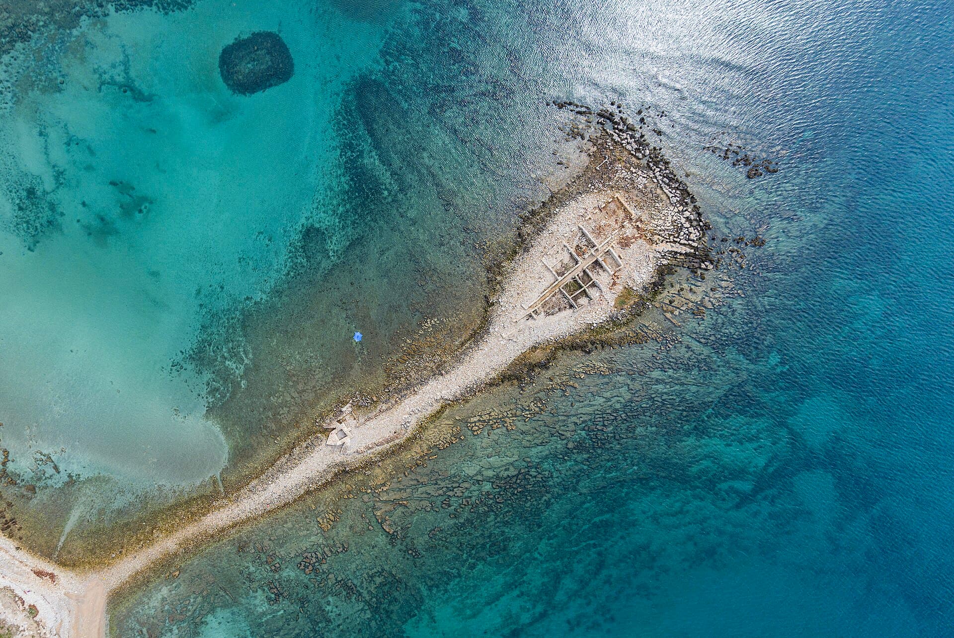
Crveni Vrh occupies the far north-western edge of Istria, overlooking the Bay of Piran between the Savudrija coast, Kanegra and the Slovenian border. Once an agricultural landscape of large estates, the area is now defined by holiday residences, broad views towards Piran and Golf Club Adriatic. Opened in 2009 as Istria’s first championship course, the golf terrain rolls through olives, vineyards and evergreen vegetation only a few hundred metres from the sea. Along the village shoreline, swimming is mainly from constructed concrete platforms and rocky entries, whereas nearby Kanegra offers fine pebbles, leafy shade and a gentler approach to the water. Crveni Vrh consequently suits travellers who want to alternate swimming, golf, walking and cycling without staying amid Umag’s urban bustle. A new local section of the Umag seafront promenade was completed in 2026, improving public access to the shore. For a longer ride, follow the marked itinerary from the Savudrija lighthouse through Alberi, Crveni Vrh, the St Peter viewpoint and Kanegra, returning beside the golf course.
Crveni Vrh belongs to the Savudrija area of the City of Umag, yet its elevated position above the Bay of Piran feels markedly different from the flatter coast around Bašanija and Zambratija. During the 20th century, the village evolved from a landscape of substantial agricultural estates into a tourism and residential enclave. Its present-day character is shaped by the Alberi and Riva zones, an indented shoreline and Golf Club Adriatic, whose course opened in 2009 roughly 300 metres from the sea. From the upper parts of the settlement, views extend across the bay towards Piran, while the road to Kanegra crosses the quieter northern reaches of Umag. Crveni Vrh has no historic urban centre; its appeal comes from the meeting of sea, expansive views, golf terrain and Istria’s frontier landscape.
Things to see

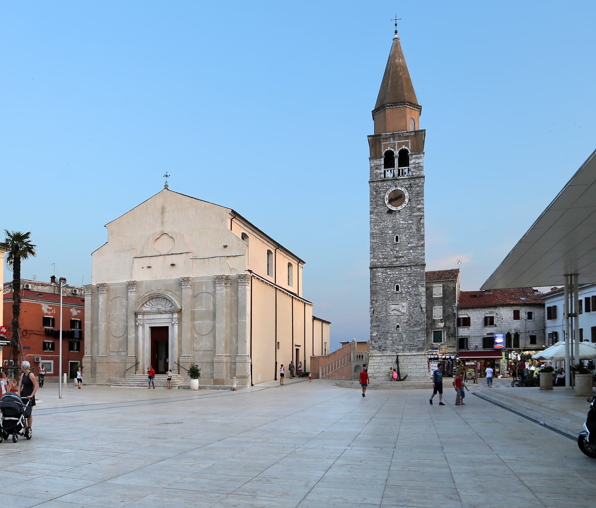
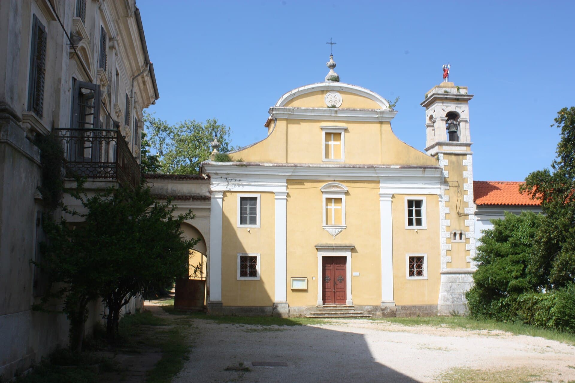
Dajla Abbey
Landmark · Dajla
former Benedictine monastery near Novigrad, Istria County, Croatia
15 km from Crveni Vrh
Stays nearby
- Apartment
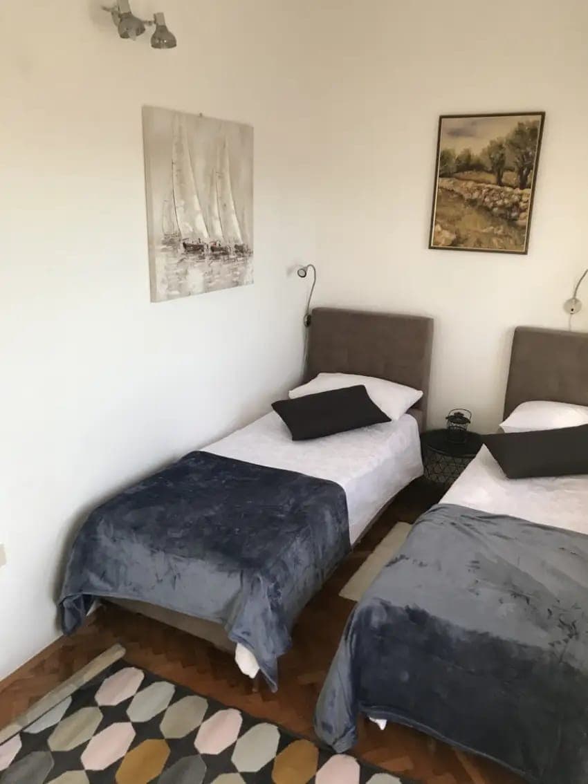 20 km from Crveni Vrh
- Apartment
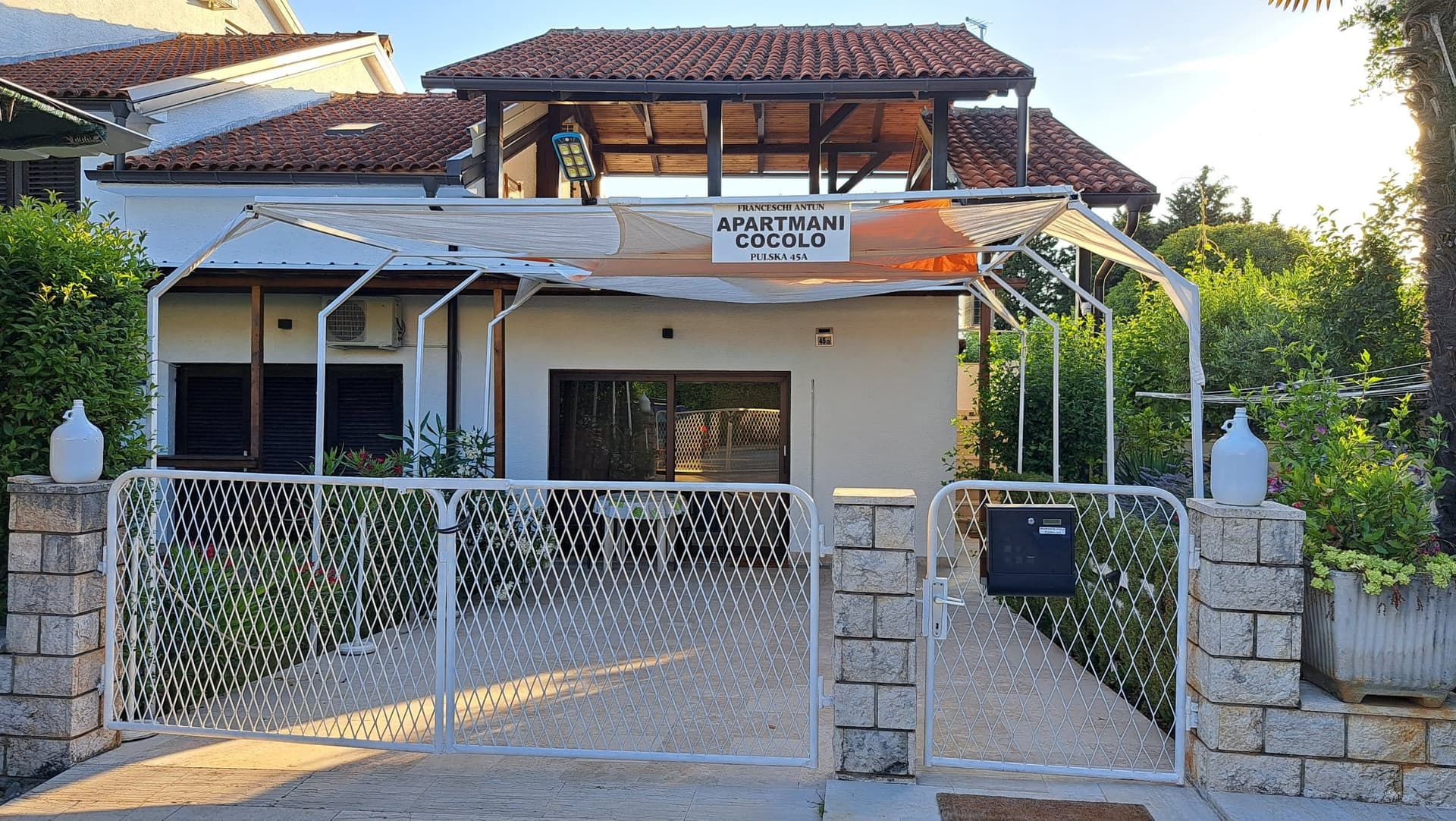 30 km from Crveni Vrh
Be the first to list here
Guests looking for this place only see stays nearby for now. No commission, and enquiries come straight to you.
List your accommodation
Beaches
Swimming in Crveni Vrh centres on a rocky shoreline and distinctive concrete platforms overlooking the Bay of Piran. These entries best suit confident swimmers who prefer immediate access to deeper water; water shoes are useful where natural rock remains exposed. For fine pebbles and a gentler entrance, choose nearby Kanegra Beach, approximately 75 metres long and 18 metres wide. Trees provide shade, food outlets and recreation facilities are available, and the officially listed parking area is about 500 metres from the beach. The Kanegra holiday complex also contains a separate naturist beach. A new section of the seafront promenade completed in Crveni Vrh in 2026 has improved the connection between the village’s public shoreline and its individual bathing spots.
Bathing water quality nearby
- TN Alberi - Skiper · 1.0 kmexcellent
- AC Kanegra - Ispod restorana · 1.8 kmexcellent
- AC Kanegra - Market · 2.2 kmexcellent
- AC Kanegra - Bullea · 2.4 kmexcellent
Source: European Environment Agency (EEA); data from Croatian authorities. · bathing water profile
Things to do
Spend the morning on Crveni Vrh’s seafront promenade and the concrete bathing terraces facing the Bay of Piran. After a swim, climb towards Golf Club Adriatic, where the rolling course passes among olives, vineyards and evergreen vegetation. Cyclists should look for route 13: beginning at Gamboc Bay near the Savudrija lighthouse, it passes the old harbour, Stancija Grande and Alberi before reaching Crveni Vrh, then follows gravel towards the St Peter viewpoint and Kanegra. The return leg crosses Crveni Vrh again and runs beside the golf course towards Katoro and Zambratija. For an easier end to the day, drive down to Kanegra’s pebble beach, whose surrounding trees provide considerably more natural shade than the central village waterfront.
Tours and activities
AdAd · partner offers: Viator, GetYourGuideThe partner handles booking, payment and support. StayBravo may earn a commission on bookings made through these links.How we choose offersWe choose offers based on the page you are viewing: the partner destination for this place or the nearest one (with its distance), and on a sight page only offers that mention it. We show offers rated at least 4.3 with at least 10 reviews, without multi-day tours or pure transfers, ordered by rating adjusted for the number of reviews and then by the partner’s order. We do not use data about you, and the commission does not affect the order.GetYourGuide offers are selected and ordered by GetYourGuide based on the name of the nearest larger town or national park; we do not influence their selection and do not use data about you.Viator
Nearest destination: Poreč (30 km)
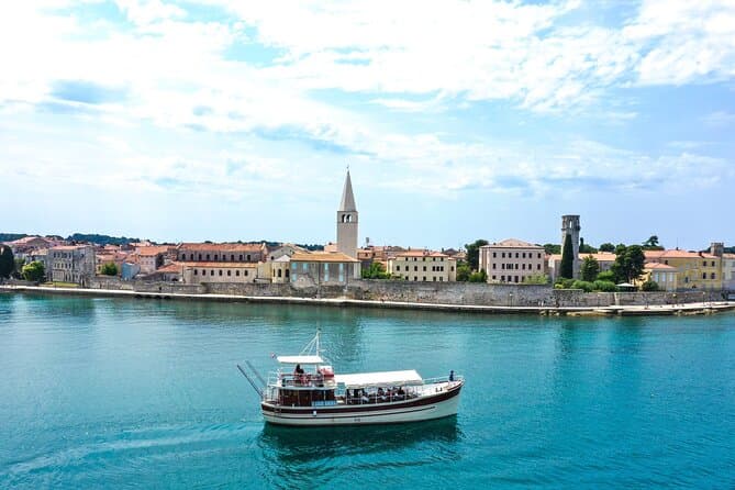
Morning Panorama: Relaxing Among 20 Islands around Poreč Riviera (opens in a new tab)
Start your journey from the port of Poreč, with panoramic view of Istrian west coast. Embark on a boat ride along the coast towards the beautiful town of Vrsar, which will take you on an…
Rated 4.9 out of 5 · 22 reviews· 2 h
Free cancellation
from €24
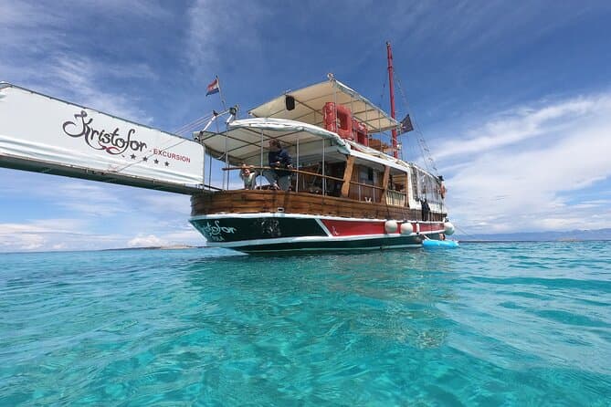
Fish Picnic excursion on Kristofor boat (opens in a new tab)
Ready for a day sea trip from Poreč to Rovinj? Enjoy an amazing view of the west coast of Istria and then a romantic walk through Rovinj. You'll be able to enjoy a delicious lunch on board just…
Rated 4.8 out of 5 · 27 reviews· 7 h
Free cancellation
from €50
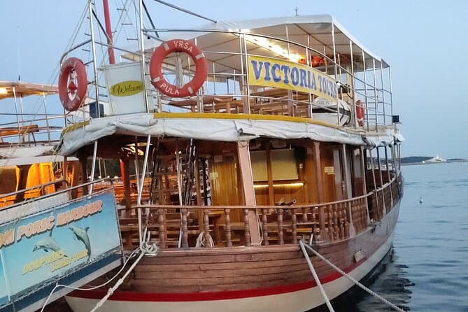
Exploration of the Istrian Coast Poreč Rovinj Lim fjord and Vrsar (opens in a new tab)
Islands, rocks, wildlife, bays, romantic villages... you will see the beautiful Istrian coast, taking a daily excursion with our beautiful wooden boat. Starting from Poreč you can see the various…
Rated 4.7 out of 5 · 42 reviews· 6 h
Free cancellation
from €40
GetYourGuide · Umag
We show GetYourGuide offers once you allow their cookies.
Practical information
Getting there and around
Crveni Vrh is reached via the L50003 local road, which branches through the Savudrija area and continues towards the village, Alberi and the golf complex. A car is the most practical choice when arriving with luggage or combining the Crveni Vrh waterfront, Kanegra and the Savudrija lighthouse. Within the village, short coastal distances can be covered on the new section of Umag’s promenade completed in 2026. Cycling is a useful alternative from Savudrija or Zambratija: the marked route passes through Alberi and Crveni Vrh, climbs on gravel towards the St Peter viewpoint and returns beside Golf Club Adriatic. Its rolling and unpaved sections are better suited to trekking or mountain bikes than narrow road tyres.
Frequently asked questions
What is the beach in Crveni Vrh itself like?
The village waterfront consists mainly of rocks and concrete bathing platforms overlooking the Bay of Piran; nearby Kanegra is the better choice for fine pebbles.
When did the Crveni Vrh golf course open?
Golf Club Adriatic opened in 2009 as Istria’s first championship golf course.
Does a cycling route pass through Crveni Vrh?
Route 13 links Savudrija, Alberi, Crveni Vrh, the St Peter viewpoint and Kanegra before returning beside the golf course.
Nearby
Crveni Vrh
Open in OpenStreetMap(opens in a new tab)straight-line distance
Related guides

Novigrad
Novigrad-Cittanova developed on Istria’s north-western coast near the mouth of the Mirna, in a maritime setting that shaped centuries of fishing and trade. The historic centre still…
Read the guide
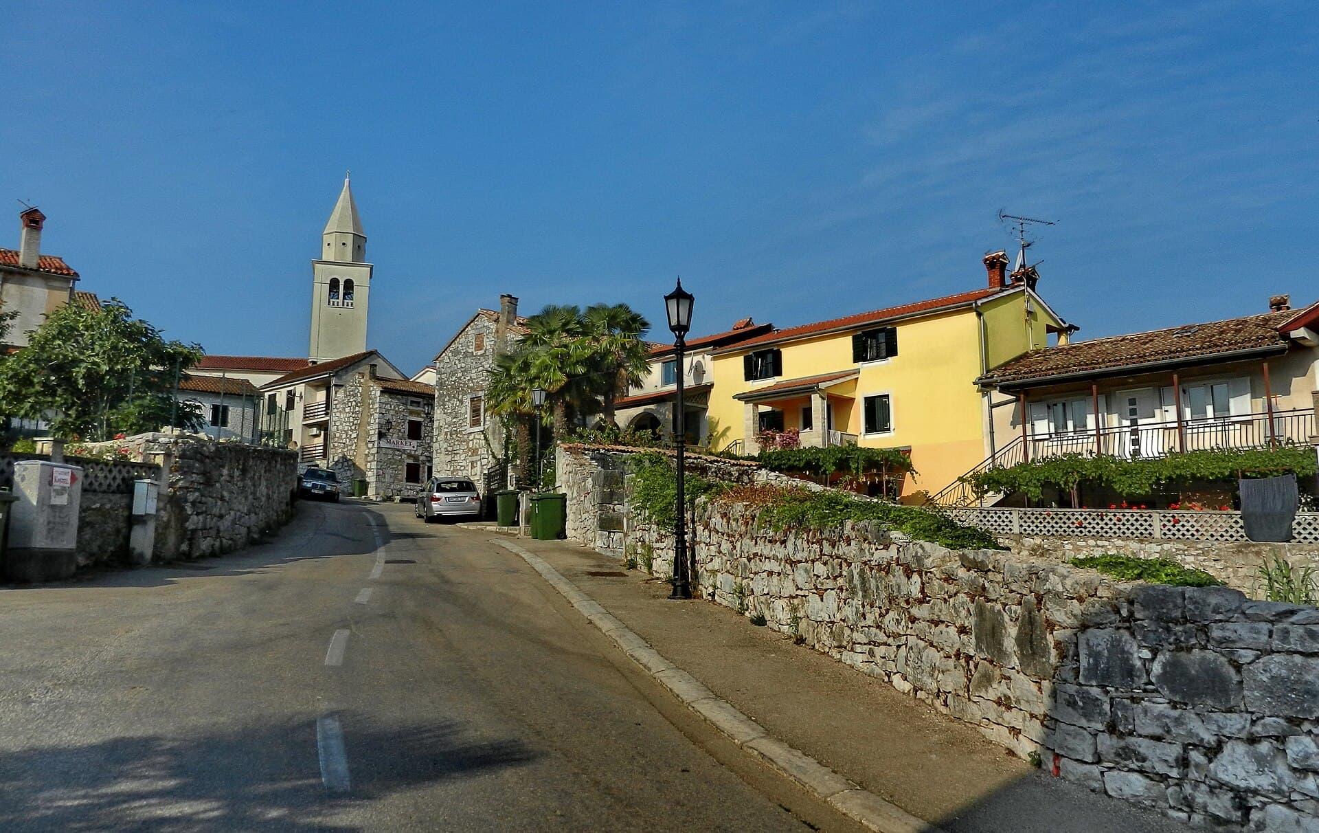
Funtana
Funtana sits on Istria’s west coast along the Poreč–Vrsar road, while its shoreline extends between Zelena Laguna and Valkanela. The local tourist board links the settlement with a long…
Read the guide
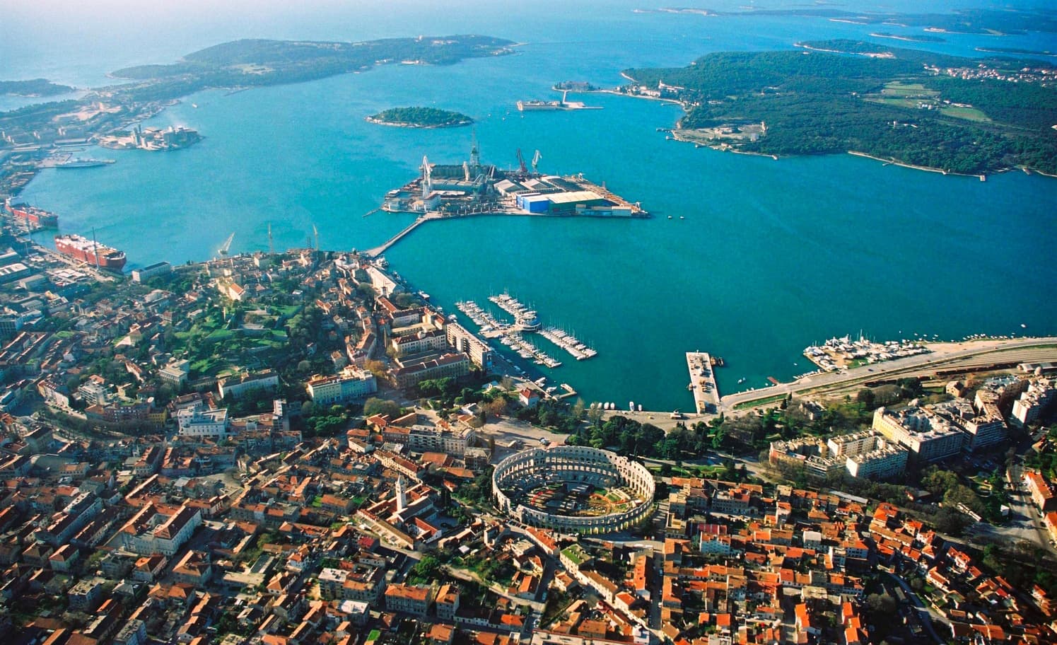
Pula
Central Pula offers two connected but different sightseeing strands. One follows public spaces and visible Roman monuments: the Arena, gates, Forum and temple. The other explores museum…
Read the guide
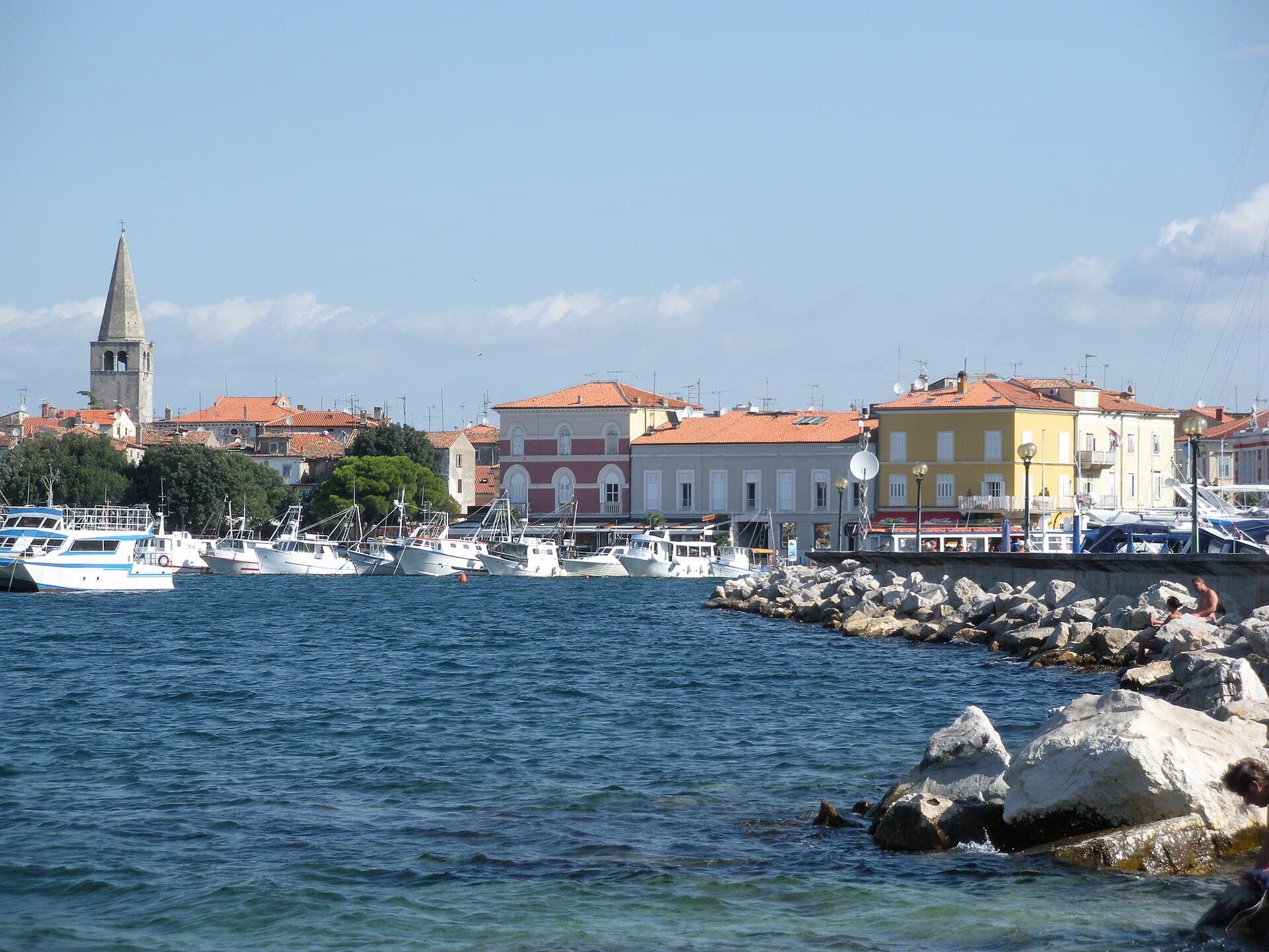
Poreč
Organise the stay around the distinction between the centre and the wider holiday area. In the centre, a cultural visit can form part of a walk, while beaches, excursions and additional…
Read the guide
Know Crveni Vrh? Correct us
Tell us in your own words what is not accurate. We check right away.Do not enter personal data. Corrections are checked by the StayBravo AI assistant; changes to the description are approved by an editor. Use the form instead
Do you know Crveni Vrh?
Help the guests who come after you.
Help us complete
Nothing is published without an editor’s review.Report illegal content
Photo credits: Crveni Vrh — Alen Ištoković (CC BY 3.0) · Savudrija — Lander at English Wikipedia (CC BY-SA 3.0) · Zambratija — Jonatan Melik Kurinčič (CC0) · Sveta Marija na Krasu — Jarba (CC BY 3.0) · Umag — Marianocecowski (CC BY-SA 3.0) · Sipar — ZmajiZmajiZmaji (CC BY-SA 4.0) · Savudrija Lighthouse, Dajla Abbey — Dguendel (CC BY 3.0) · Church of the Assumption — Sailko (CC BY 3.0) · Apartman Antenal — Ivan Pavkovic (courtesy of the property owner) · Apartmani Cocolo — Antun Franceschi (courtesy of the property owner) · Novigrad — Sl-Ziga (Public domain) · Funtana — Tanya Dedyukhina (CC BY 3.0) · Pula — Orlovic (CC BY-SA 3.0) · Poreč — Hobe / Holger Behr (Public domain)