
Tribanj
About this place
Tribanj is not a single compact resort but a chain of small settlements and inlets northwest of Starigrad, including Kruščica, Šibuljina and Sveta Marija Magdalena. The D8 Adriatic coastal road links these fragments while Velebit rises sharply behind the houses. From Kruščica, a mountain road climbs to Ljubotić, a hamlet at roughly 300 metres above sea level and three kilometres from the shore. Visitors there can encounter a traditional ethnographic house and the mirila, stone resting places associated with the funeral customs of Velebit’s former mountain communities. The Ljubotić trail belongs to a network of eight prepared mirila sites around Starigrad, and the related customs were declared Croatian intangible cultural heritage in 2007. For swimming, the clearest reference point is Uvala Duboka Kruščica, where pebbles and paved sections meet the shelter of a deep inlet. Tribanj Šibuljina also has a pebble shore by its campsite. Starigrad lies about ten kilometres from the Tribanj settlements, on a Paklenica Riviera extending for roughly twenty kilometres beneath Velebit.
Tribanj comprises a scattered chain of hamlets squeezed between the sea and Velebit, with Kruščica, Šibuljina and Sveta Marija Magdalena occupying deep inlets along the northwestern Paklenica Riviera. Starigrad is about ten kilometres away, yet Tribanj belongs to a noticeably less built-up stretch of coast. Its link with the mountain is clearest on the road climbing from Kruščica to Ljubotić, where traces of the traditional seasonal life on Velebit survive. This coastal and mountain landscape forms part of Velebit Nature Park, while the nearby Velika and Mala Paklenica canyons lie within the national park established in 1949. From Tribanj’s coves, the bare Velebit slopes dominate the inland horizon.
Things to see
 National park
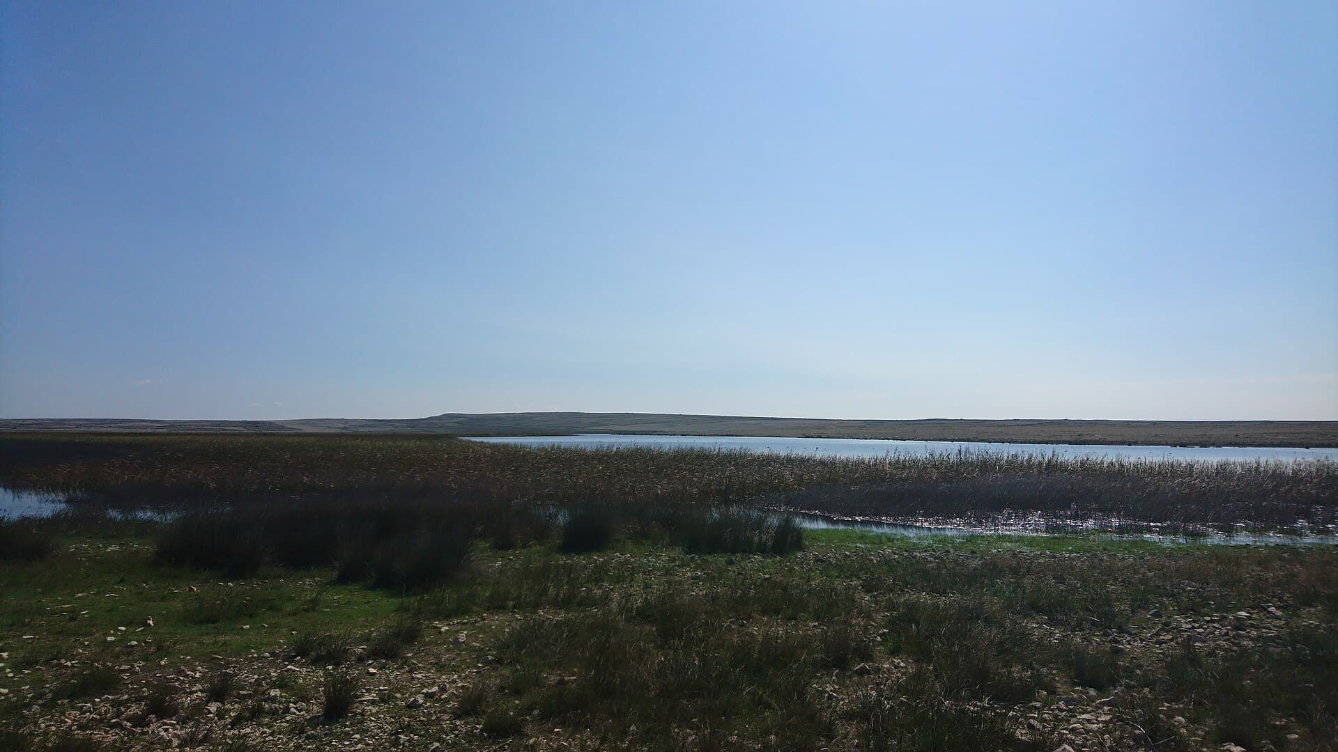
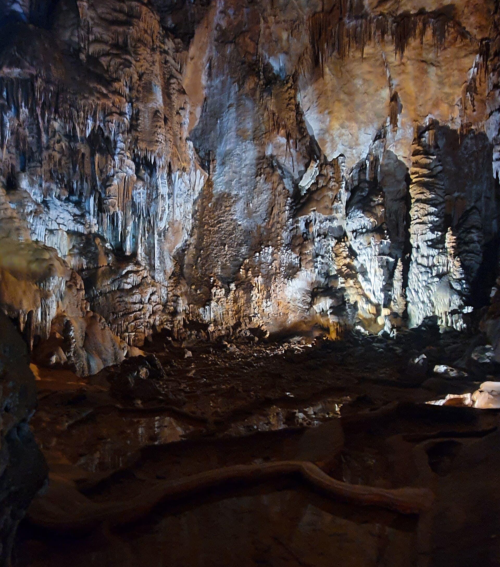
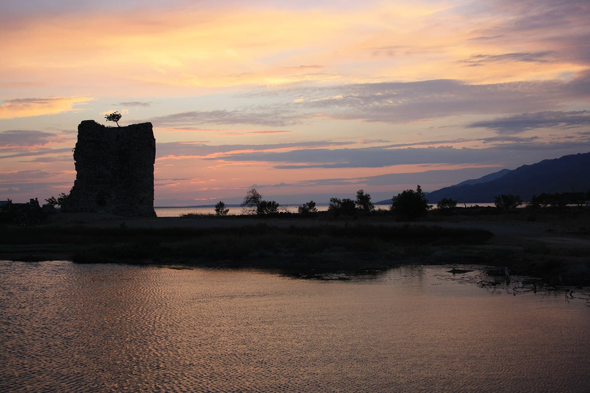
Stays nearby
- Apartment
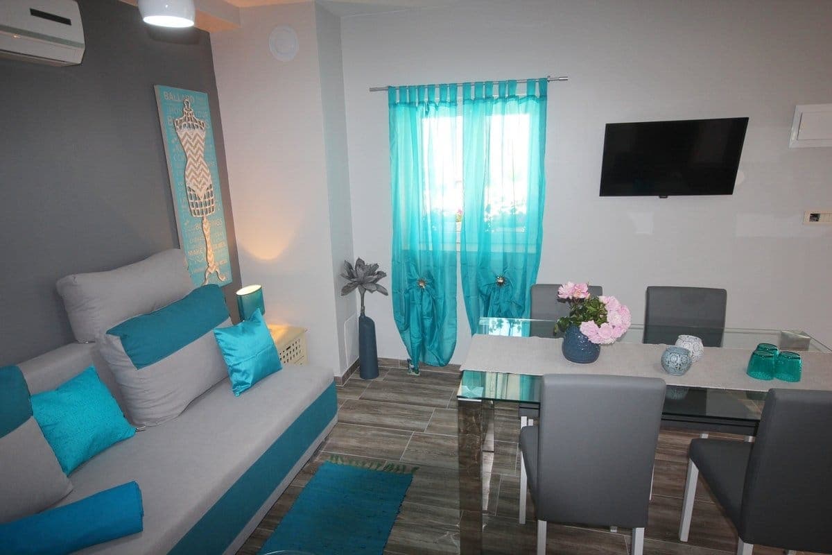 10 km from Tribanj
- Villa
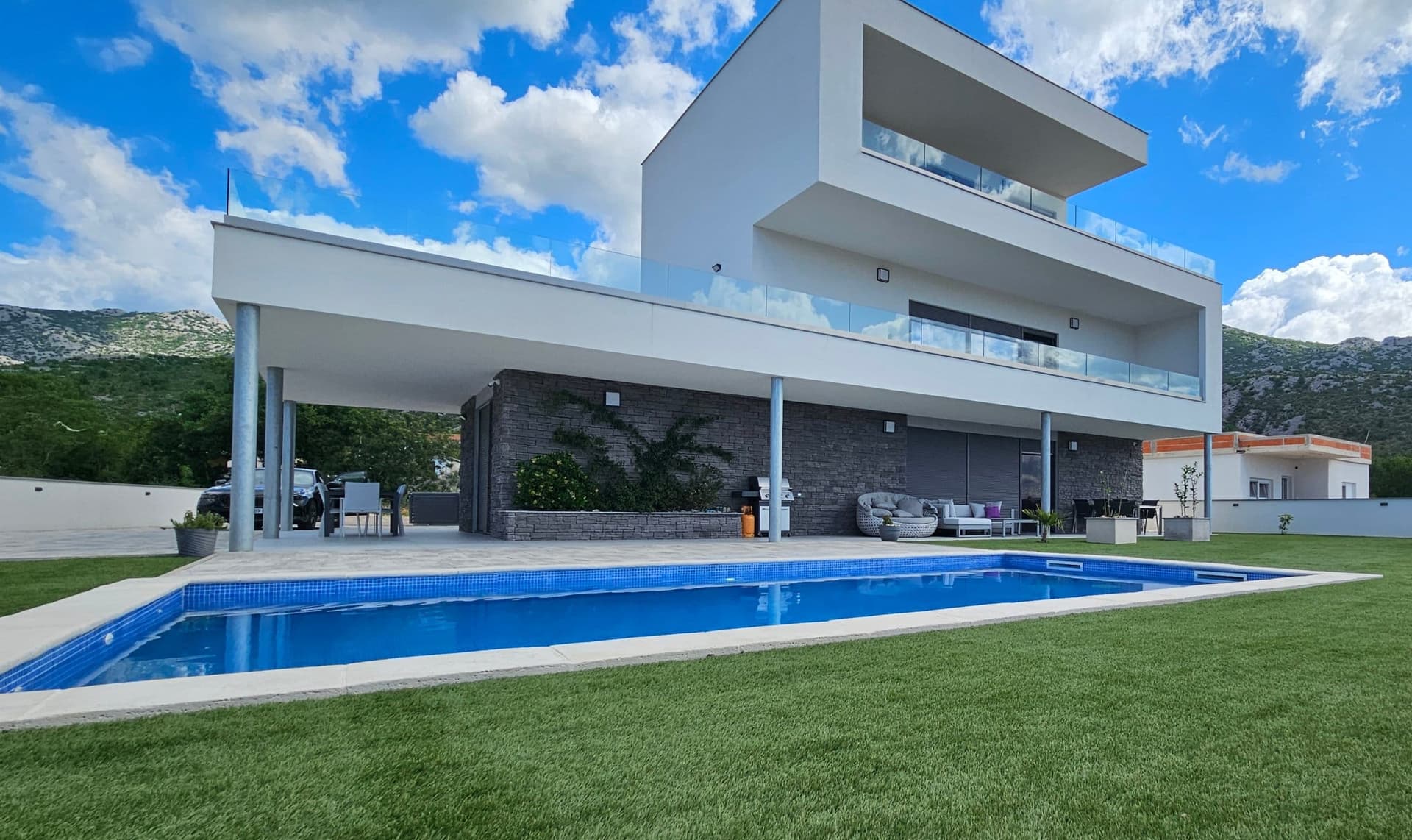 15 km from Tribanj
Be the first to list here
Guests looking for this place only see stays nearby for now. No commission, and enquiries come straight to you.
List your accommodation
Beaches
For swimming in Tribanj, the clearest reference point is Duboka Kruščica, an officially recorded bathing-water site in Tribanj-Kruščica. Its final sea-water quality rating for the 2025 season was excellent, based on 40 official samples. The bathing site belongs to the coastal sequence of Tribanj-Kruščica, Šibuljine and Sveta Marija Magdalena, described by the Starigrad-Paklenica Tourist Board as small settlements set along deep bays in the north-western part of the Paklenica Riviera. This stretch lies roughly 10 kilometres from Starigrad.
Bathing water quality nearby
- Uvala Duboka Krušćica · 463 mnot classified
Source: European Environment Agency (EEA); data from Croatian authorities. · bathing water profile
Things to do
A day in Tribanj can begin with a swim in Uvala Duboka Kruščica before following the road that climbs three kilometres from Kruščica to Ljubotić. At about 300 metres above sea level, the hamlet offers an ethnographic house with a beekeeping display, a small animal farm and access to Velebit walks. Its most distinctive destination is the mirila educational trail, which passes stone resting places where funeral processions once paused while carrying the dead from mountain homes to coastal cemeteries. The custom disappeared around the mid-20th century and received intangible cultural heritage status in 2007. Return to the coast for an easy final drive through Šibuljina and Sveta Marija Magdalena.
Tours and activities
AdAd · partner offers: Viator, GetYourGuideThe partner handles booking, payment and support. StayBravo may earn a commission on bookings made through these links.How we choose offersWe choose offers based on the page you are viewing: the partner destination for this place or the nearest one (with its distance), and on a sight page only offers that mention it. We show offers rated at least 4.3 with at least 10 reviews, without multi-day tours or pure transfers, ordered by rating adjusted for the number of reviews and then by the partner’s order. We do not use data about you, and the commission does not affect the order.GetYourGuide offers are selected and ordered by GetYourGuide based on the name of the nearest larger town or national park; we do not influence their selection and do not use data about you.Viator
Nearest destination: Zadar (27 km)
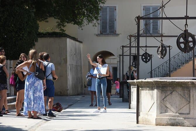
Zadar Highlights: Old Town, Sea Organ & Local Tastings (opens in a new tab)
A 2-hour small-group walk through Zadar's Old Town covering the city's top landmarks, the world-unique Sea Organ, and a tasting of local maraschino liqueur and cheese with a licensed local guide.
Rated 5 out of 5 · 478 reviews· 2 h
Free cancellation
from €20
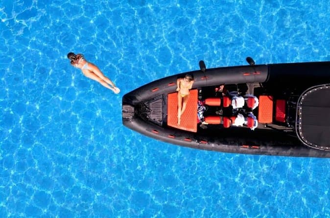
Zadar: Luxury Island Boat Tour, Snorkeling & Unlimited Wine (opens in a new tab)
Embark on an unforgettable adventure and explore the wonderful islands that adorn our Adriatic Sea. You have two types of tour, 4 hour with 3 stops and 3 hour with 2 stops. Explore the crystal clear…
Rated 5 out of 5 · 1,393 reviews· 4 h
Free cancellation
from €47

From Zadar Plitvice Lakes Guided Day Tour with Tickets (opens in a new tab)
Discover the UNESCO-listed Plitvice Lakes with a passionate local guide and enjoy one of the easiest ways to visit Croatia’s most iconic national park from Zadar. Travel through the scenic Croatian…
Rated 4.9 out of 5 · 1,689 reviews· 10 h
Free cancellation
from €45
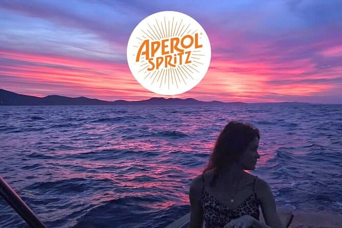
Zadar: Romantic Luxury Sunset Boat Tour with Aperol Spritz (opens in a new tab)
We will start our tour from the oldest harbor in Zadar, Foša. After that we will cruise by the Zadar seafront and famous Sea Organs where thousands of people come every night to see world famous…
Rated 5 out of 5 · 330 reviews· 1.3 h
Free cancellation
from €25
Zadar: Half Day Island Hopping Tour & Old Town Panoramic Cruise (opens in a new tab)
Step off the beaten path and discover the authentic soul of Dalmatia. On the islands, time moves slower and local traditions are still alive. Swim, snorkel, sunbathe, stroll through charming…
Rated 4.9 out of 5 · 418 reviews· 4 h
Free cancellation
from €19
Private Sailing Tours in Zadar Archipelago (opens in a new tab)
We are a family business with a vision of presenting the beautiful nature and history of Zadar and Island Ugljan, Croatia. Sail away with us and absorb the sea breezes and panoramic views over Zadar…
Rated 5 out of 5 · 135 reviews· 4 h
Free cancellation
from €450
GetYourGuide · Nin
We show GetYourGuide offers once you allow their cookies.
Practical information
Getting there and around
Tribanj extends along the D8 state road, the Adriatic Highway linking the Zadar area with Karlobag and Rijeka. Approaching from Zadar, travellers first pass Starigrad, roughly ten kilometres from the Tribanj settlements, then continue through Kruščica, Šibuljina and Sveta Marija Magdalena. The road to Ljubotić branches off the D8 at Tribanj Kruščica and climbs about three kilometres into the mountain hamlet. Travellers without a car depend on intercity coaches using the coastal highway, so tickets must be searched for a specific stop such as Tribanj Kruščica or Tribanj Mandalina. Paklenica National Park notes bus connections from the Rijeka direction towards Starigrad and estimates the journey from Zadar to the Paklenica area at around 45 minutes.
Frequently asked questions
Where is the turn for the Ljubotić mirila?
Leave the Adriatic Highway at Tribanj Kruščica and follow the road towards Ljubotić and its mirila trail.
Which Tribanj bathing site is officially monitored?
Uvala Duboka Kruščica is listed as monitoring point 4168 in Croatia’s national bathing-water programme.
How far is Ljubotić from the Tribanj coast?
The hamlet is about three kilometres from the beach and stands roughly 300 metres above sea level.
Nearby
Tribanj
Open in OpenStreetMap(opens in a new tab)straight-line distance
Related guides
Novalja
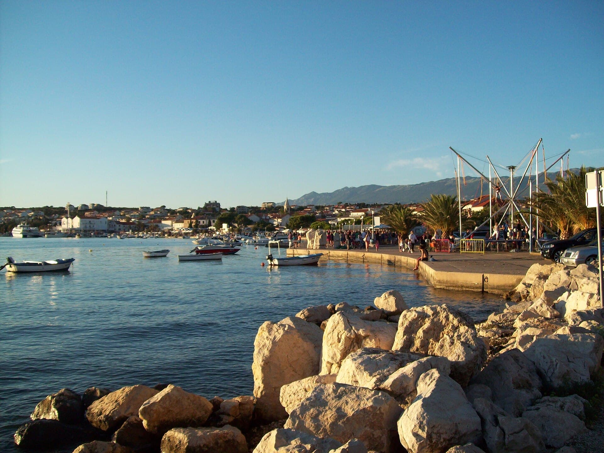
Novalja curves around a bay on Pag’s western shore, with the waterfront, Trg Bazilike and streets around Mala crikva forming the centre. Landing places and restaurants line the water, while…
Read the guide
Nin
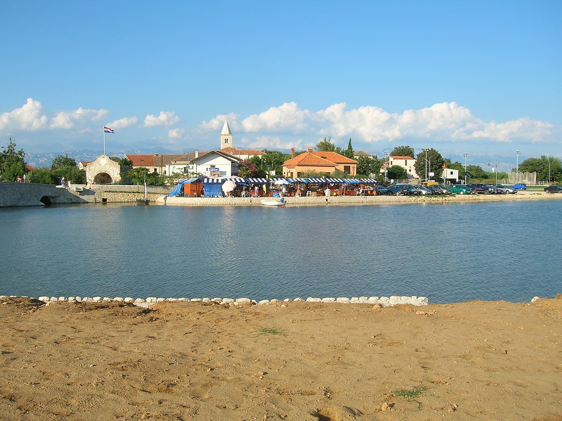
Nin’s historic centre occupies a low islet within a lagoon, connected to the mainland by bridges. Crossing into the centre creates a different first impression from arriving in nearby…
Read the guide
Pakoštane
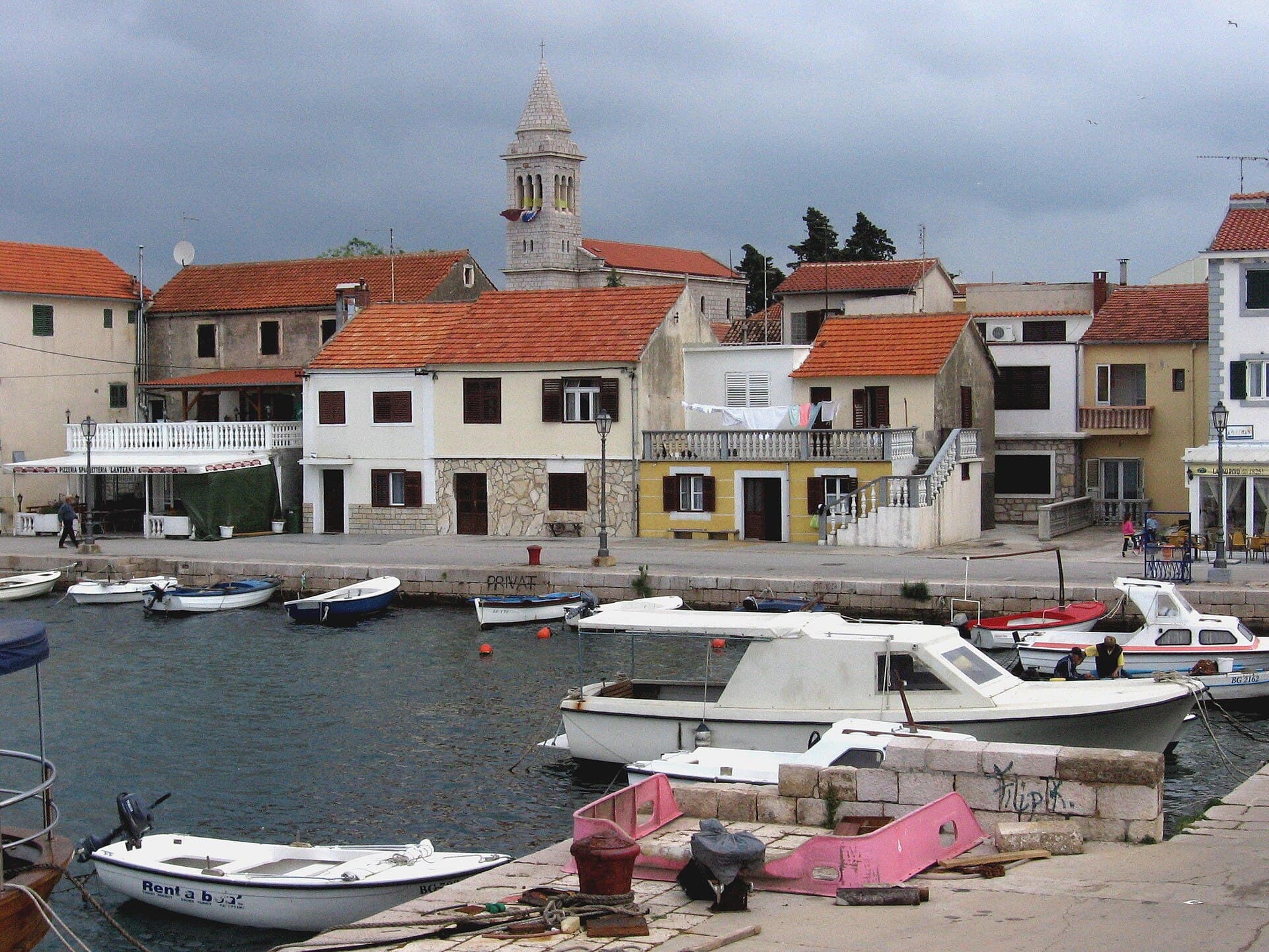
Pakoštane occupies a narrow strip between the Adriatic and Lake Vrana, allowing visitors to move from a Dalmatian waterfront to the reeds of an ornithological reserve within minutes. The…
Read the guide
Pag
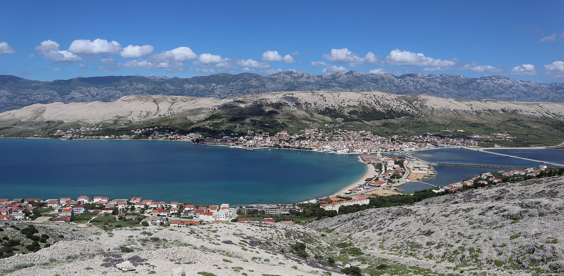
Pag is a planned stone town whose orderly street grid converges on Petar Krešimir IV Square, the Collegiate Church of the Assumption and the Rector’s Palace. The settlement moved to its…
Read the guide
Know Tribanj? Correct us
Tell us in your own words what is not accurate. We check right away.Do not enter personal data. Corrections are checked by the StayBravo AI assistant; changes to the description are approved by an editor. Use the form instead
Do you know Tribanj?
Help the guests who come after you.
Help us complete
Nothing is published without an editor’s review.Report illegal content
Photo credits: Tribanj, Starigrad — Joadl (CC BY-SA 3.0) · Barić Draga — Zadar33 at Croatian Wikipedia (Public domain) · Rtina — ANDREJ NEUHERZ (CC BY-SA 3.0) · Miškovići — Albamaris (Public domain) · Ražanac — Pudelek (Marcin Szala) (CC BY-SA 3.0) · Ljubač, Ražanac — F.Krikava, Znojmo (CC BY-SA 3.0) · Dinjiška — Moson81 (CC BY-SA 4.0) · Vrsi — AwOiSoAk KaOsIoWa (CC BY-SA 3.0) · Paklenica — Donarreiskoffer at English Wikipedia (CC BY-SA 3.0) · Velo blato — Lendert Van Laer (CC BY-SA 4.0) · Manita peć — Ivan Vid (CC BY-SA 4.0) · Večka kula — Sopina Ana (CC BY-SA 4.0) · Apartmani Rustica — Zdenko Dusevic (courtesy of the property owner) · Villa Slatki — Saša Slatki (courtesy of the property owner) · Novalja — JoeTimBlackMax (CC BY-SA 3.0) · Nin — Amphisbène (CC BY 2.5) · Pakoštane — Roman Klementschitz, Wien (CC BY-SA 3.0) · Pag — Palauenc05 (CC BY-SA 4.0)