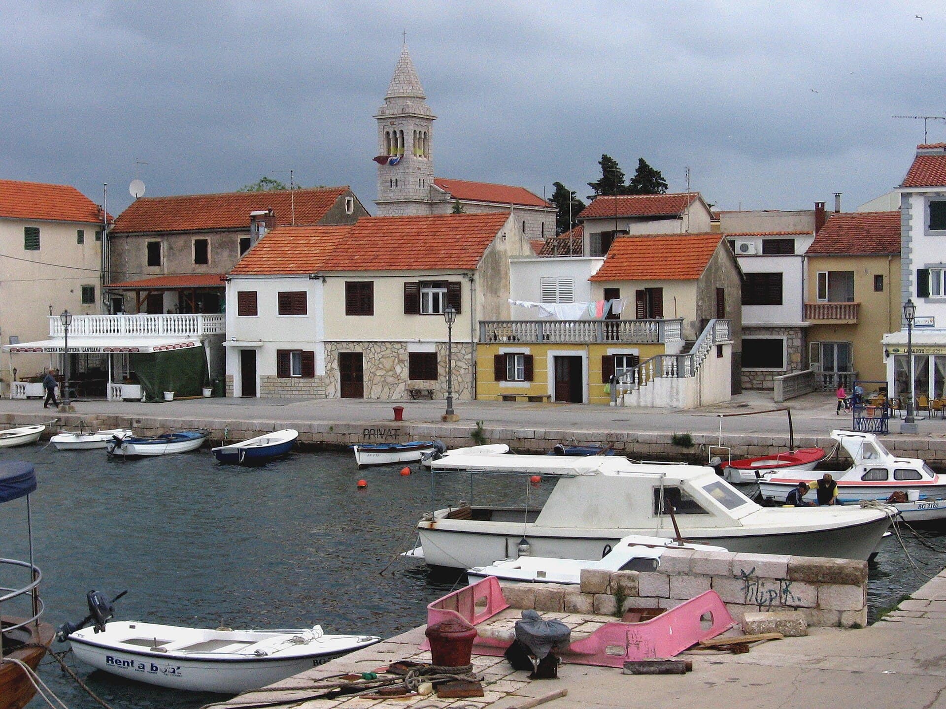
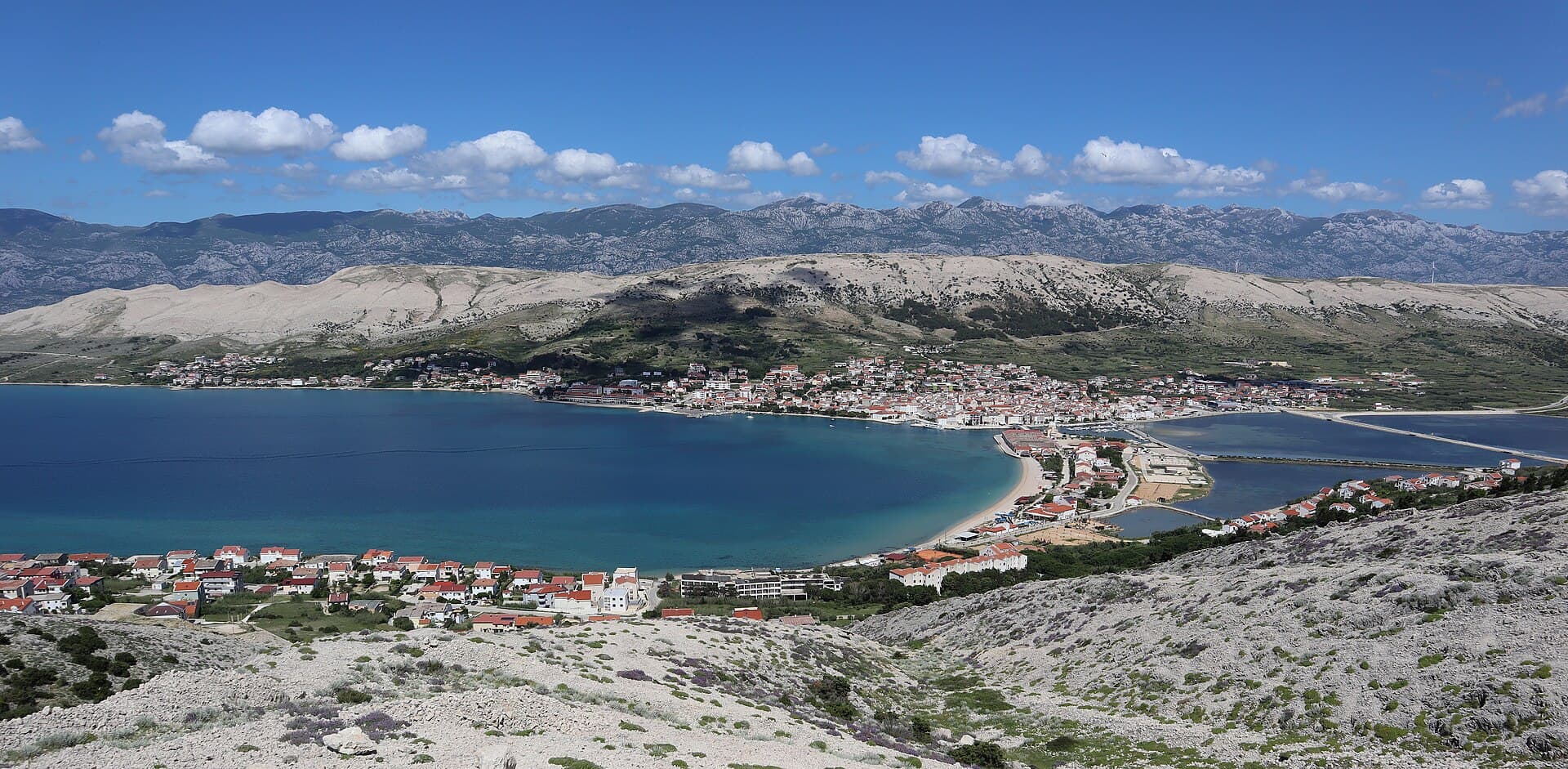
About this place
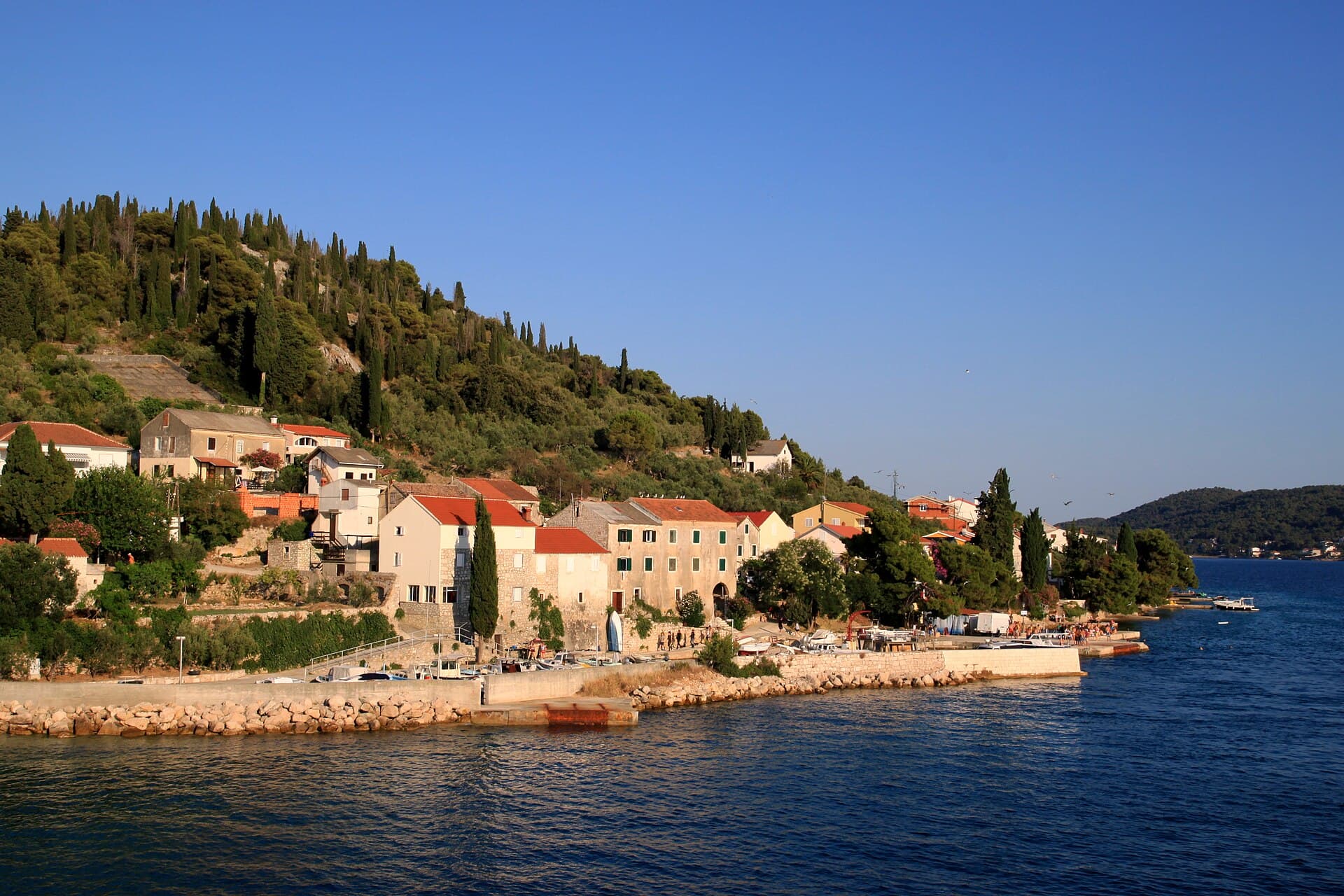
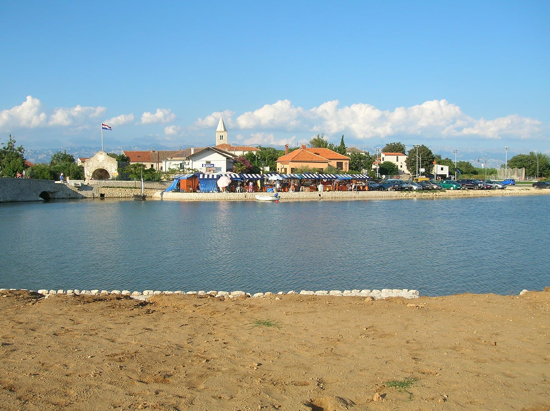
Bibinje stretches along the coast immediately southeast of Zadar and is closely associated with the sea, nautical activity and a long history of settlement. The local tourist board emphasises Roman-period origins, while the older village core developed around waterfront streets and churches. The largest modern infrastructure feature is D-Marin Dalmacija, a major marina shared with neighbouring Sukošan. Bibinje’s beaches face the Zadar islands and are mostly pebbly, with a sequence of local bathing areas and promenades along the shore. The settlement maintains traditions of klapa singing, fishing and Dalmatian food, and its summer programme often centres on local feasts and music evenings rather than large-scale festivals. Zadar is very close, making Bibinje a practical base for travellers who want quieter accommodation beside the sea with easy daily access to city attractions. The Bibinje Bike Adventure project adds marked cycling routes that link the waterfront with the surrounding area. Its shoreline still retains a distinct village identity.
Bibinje unfolds as a long coastal settlement between the old village, Jaz Bay and D-Marin Dalmacija at its eastern edge. Its waterfront is both a promenade and a natural stage for the village’s strong klapa-singing tradition, while a chain of bathing spots links distinct neighbourhoods along the four-kilometre shore. Punta Rožica belongs to the historic core, Lipauska is known for its shallow sandy seabed, and Punta combines swimming with the atmosphere of a major marina. The local tourist map also reveals an unusually dense mix of small harbours, diving facilities, sports grounds and churches close to the sea. With Zadar immediately to the northwest, Bibinje works equally well as a seaside destination in its own right and as a quieter base connected to the city by local bus.
Stays nearby
 Apartment
Apartmeni Klenovica.eu
Klenovica
Klenovica, 120 km from Bibinje
up to 4 guests · 1 bedroom
The host confirms the exact price for your dates and availability.
Things to see
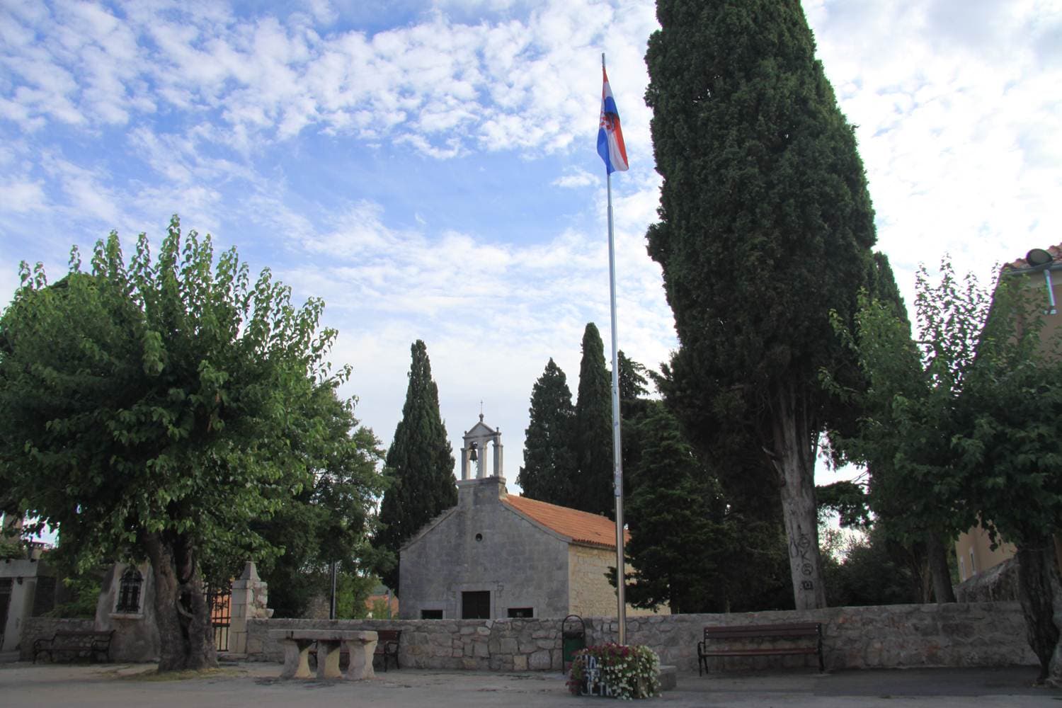
Bibinje’s heritage is not concentrated in one monumental building but in its old core, churches and a waterfront that has developed over many centuries. The tourist board particularly emphasises continuity of settlement from the Roman period. In the contemporary landscape, D-Marin Dalmacija is the largest single feature and clearly shows how closely modern Bibinje is linked with nautical activity. Local identity also depends on klapa singing, fishing feasts and food-centred evenings, because these events keep traditions visible in everyday village life rather than confining them to a museum display.
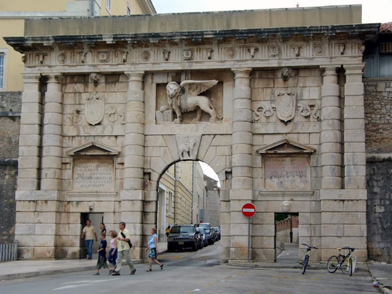
Defensive System of Zadar
Landmark · Zadar
Zadar’s Defensive System comprises Renaissance Venetian fortifications inscribed on the UNESCO World Heritage List since 2017.
6 km from Bibinje
Beaches
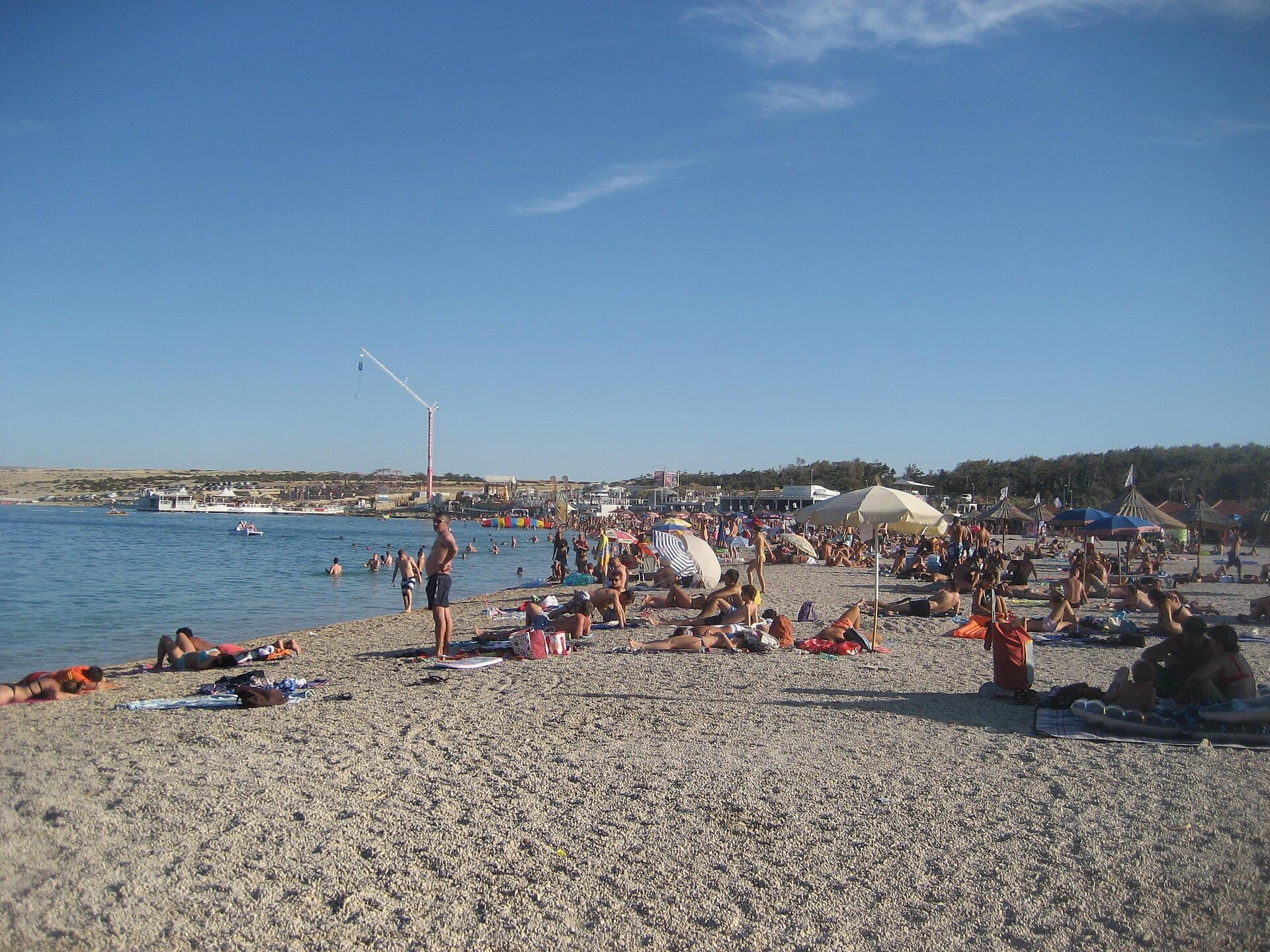
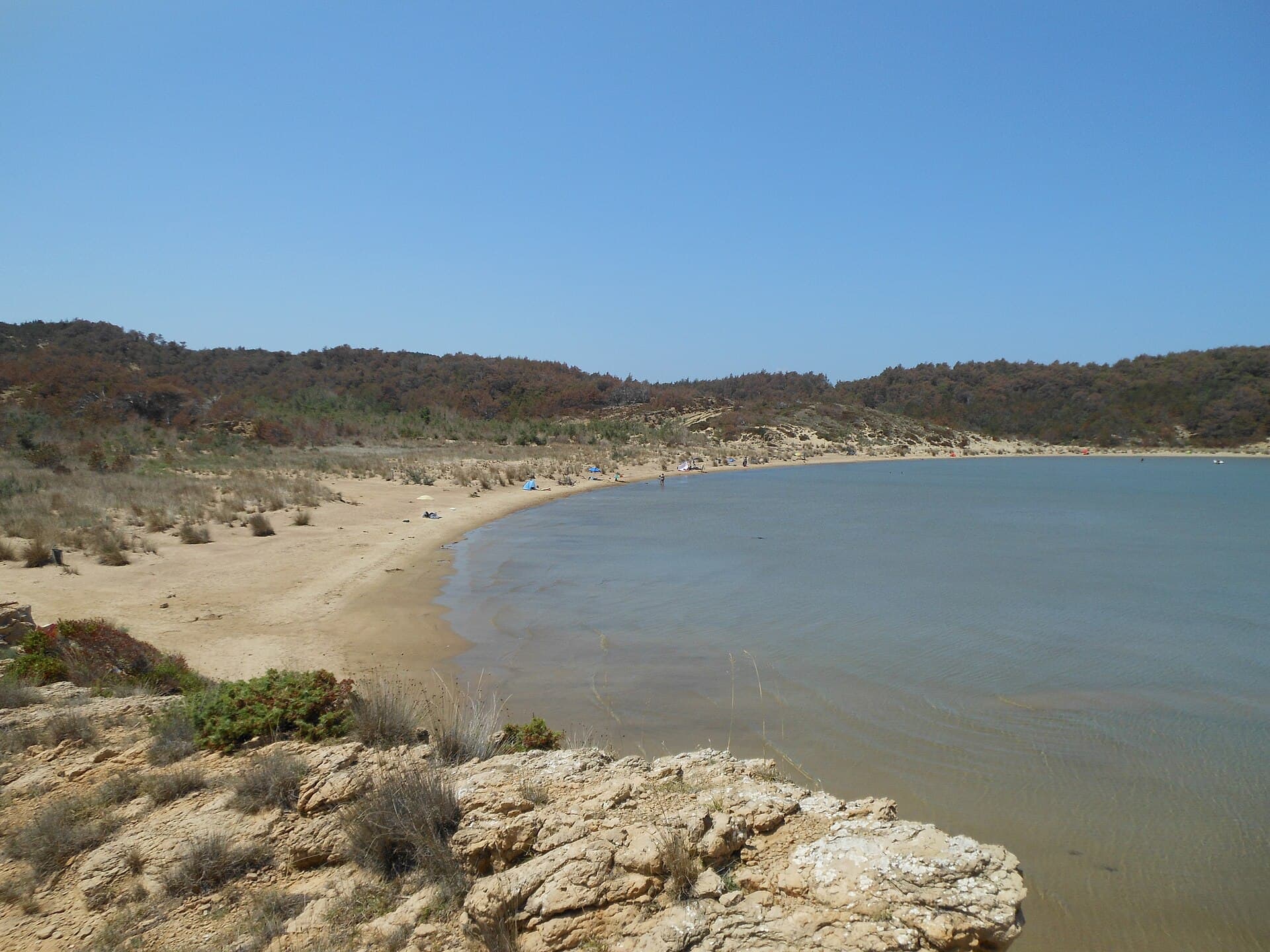
Punta Rožica is the main beach in Bibinje’s old village, combining pebbles with concrete sun decks, showers and changing cabins. On the outer side of the Jaz Bay breakwater, Na škaljici leads directly into Šulterova vala, a bathing spot especially popular with families and younger swimmers. Lipauska stands apart from most local beaches because of its sandy seabed. At the eastern end of the settlement, Punta is a pebble beach beside D-Marin Dalmacija, with a restaurant, café and beach-volleyball courts nearby. Heading north, the shoreline continues through Karabana Cove, the area known as Dva mosta and Bralići beach, making it possible to sample several distinctly positioned swimming spots on one coastal walk.

Things to do
A rewarding walk through Bibinje starts in the old village, where Punta Rožica beach and St Roch’s Church sit close to the waterfront. From there, follow the coast towards Jaz Bay and the adjoining Na škaljici and Šulterova vala beaches, then continue north towards Karabana and Bralići. Cyclists can switch to the marked Bibinje Bike Adventure route, developed by the local tourist board with digital navigation information. Later in the day, Punta beach offers sand volleyball beside the nautical setting of D-Marin Dalmacija. The official Visit Bibinje app is particularly useful for linking these stops, as it gathers mapped beaches, sights, dining addresses and current local events in one destination guide.
Practical information
Practical information
Bibinje Tourist Board is based at Trg Tome Bulića 9 and can be reached on +385 23 261 001 or at [email protected]. The official Visit Bibinje app maps beaches, attractions, public services, restaurants and nautical facilities, with navigation from the user’s current position. The destination map marks a pharmacy, medical clinic and dental practice in central Bibinje, while the petrol station and several marine services are concentrated near the marina. Guests using private accommodation should also confirm that their host has registered the entire stay, from arrival through departure, as outlined in the tourist board’s visitor information. These local resources are more precise than relying on a general Zadar guide.
Parking
Paid public parking in Bibinje is managed by the municipal company Bibinjac. Chargeable spaces must display their zone, permitted duration, charging period and applicable fee, while hourly, daily and discounted permits may be available. Because the municipal mayor determines the zones and charging periods, the signs at each individual car park are the decisive source of information. Bibinje’s official tourist map identifies parking areas around the settlement, including spaces near the centre and waterfront facilities. A parking payment does not constitute a guarded-parking contract, and Bibinjac states that it accepts no responsibility for vehicle theft or damage. Drivers heading to a specific beach should therefore check both the mapped location and on-site restrictions.
Getting there and around
Bibinje is served by Liburnija’s local bus route 10, linking Zadar, Bibinje and Sukošan. Stops are distributed along the main road through the settlement, and the official tourist map marks several of them from the western to the eastern neighbourhoods. The published timetable separates weekday and Saturday services from Sunday and public-holiday departures, so travellers should check the current schedule shortly before setting out. Drivers reach Bibinje via the Adriatic coastal road, while arrivals by boat use D-Marin Dalmacija on the Bibinje–Sukošan boundary. Within the seafront area, walking is often the simplest option because the old village, Jaz Bay and successive beaches form a continuous coastal sequence.
Frequently asked questions
Is Bibinje well connected with Zadar?
Yes. Bibinje lies immediately southeast of Zadar and works as a close coastal base for visiting the city.
What is Bibinje’s main nautical facility?
D-Marin Dalmacija, the major marina located between Bibinje and Sukošan.
What are Bibinje’s beaches like?
Most local bathing areas have pebble shores facing the Zadar islands.
Which local music tradition is especially strong in Bibinje?
Klapa singing is a regular part of summer events and local feasts.


Related guides
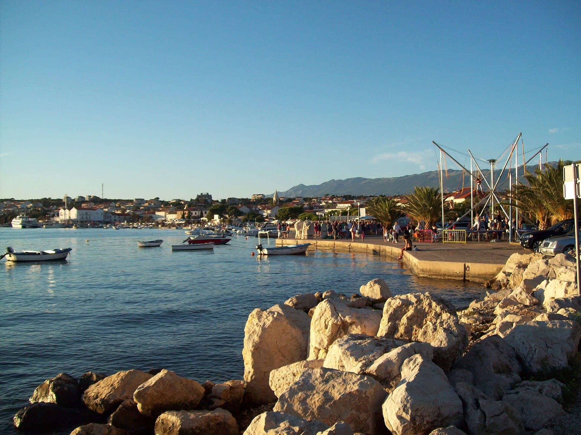
Novalja
Novalja curves around a bay on Pag’s western shore, with the waterfront, Trg Bazilike and streets around Mala crikva forming the centre. Landing places and restaurants line the water, while…
Read the guide
Help improve this page
Spot something missing or wrong? Suggest a correction, add your photo or report a problem. Editors review every suggestion before it is published.
Photo credits
- Bibinje — Voilierprovencal · CC BY-SA 3.0 · Wikimedia Commons
- Kali — Jean-no · CC BY-SA 3.0 · Wikimedia Commons
- Kukljica — štefan · CC BY 3.0 · Wikimedia Commons
- Sukošan — Michael Freimuth · CC BY-SA 3.0 · Wikimedia Commons