
Vrgorac
About this place
Vrgorac lies beneath Mount Matokit in the Dalmatian hinterland, where fertile fields and karst ridges meet routes linking the Makarska coast, the Neretva valley and Herzegovina. The medieval Gradina fortress dominates the old quarter, while an exceptional concentration of Ottoman-period towers from the 16th and 17th centuries gives the town a distinctive silhouette. They include Avala on the path to Gradina, the Cukarinović or Friars’ Tower and the Dizdarević Tower, remembered as the birthplace of poet Tin Ujević, born on 5 July 1891. Vrgorac is as strongly associated with farming as with poetry: its fields produce strawberries and wine grapes, while local tables feature Dalmatian prosciutto, goat’s cheese, dried mutton, ćupter grape-must sweets and bikla, a mixture of wine and goat’s milk. A walking circuit can connect the town park, Tin’s monument, the Church of the Annunciation, the towers and the climb to Gradina. Baćina Lakes, the Neretva mouth, Makarska, Roman Narona at Vid, Kravica waterfall and Međugorje all lie roughly 23–36 kilometres away according to the city’s visitor information.
Vrgorac is a Dalmatian-hinterland town shaped by the steep slopes of Matokit and the cultivated fields of Jezero, Rastok and Bunina. Gradina fortress rises above the old quarter, while Avala, the Dizdarević or Kapetanović Tower, the Friars’ Tower and the smaller Šabić and Mumin towers form an unusually dense group of fortified stone residences dating from the 16th and 17th centuries. Poet Tin Ujević was born in the Dizdarević Tower on 5 July 1891, giving the town’s built heritage a strong literary connection. Modern Vrgorac looks to its fields and vineyards for its defining produce: strawberries, Dalmatian prosciutto and local wines feature prominently in tastings and town events.
Things to see
Gradina is the medieval fortress above Vrgorac and forms a protected complex with Avala Tower and the approach path, all planned for restoration and interpretation. Avala occupies a rise beside the fortress route, while Dizdarević Tower is remembered as Tin Ujević’s birthplace. Cukarinović Tower is also called the Friars’ Tower, and Mumin and Šabić rank among the smaller towers of the old quarter. The centre also includes the Church of the Annunciation, the town park and Kazimir Hraste’s 1991 monument to Tin Ujević.

Tinova kula
Landmark · Vrgorac
Vrgorac's largest three-story Ottoman tower from the 17th century, birthplace of poet Tin Ujević, now a cultural center and gallery.
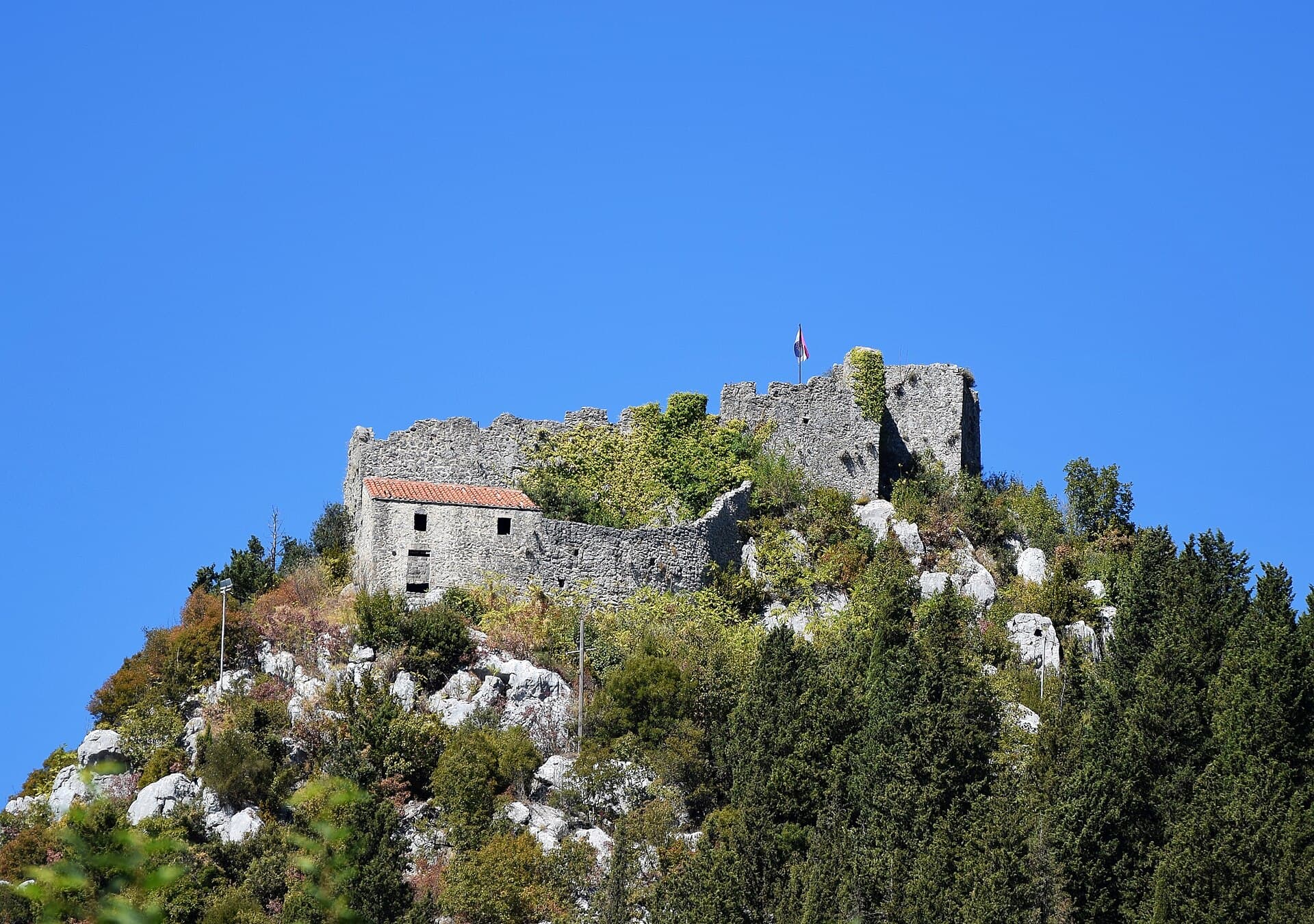
Gradina
Landmark · Vrgorac
Gradina, also called Grad, is a medieval fortress on the slopes of Mount Matokit above Vrgorac.

Annunciation church
Landmark · Vrgorac
The Church of the Annunciation of the Blessed Virgin Mary is Vrgorac’s parish church, completed in 1921 to a design by Ćiro Iveković.
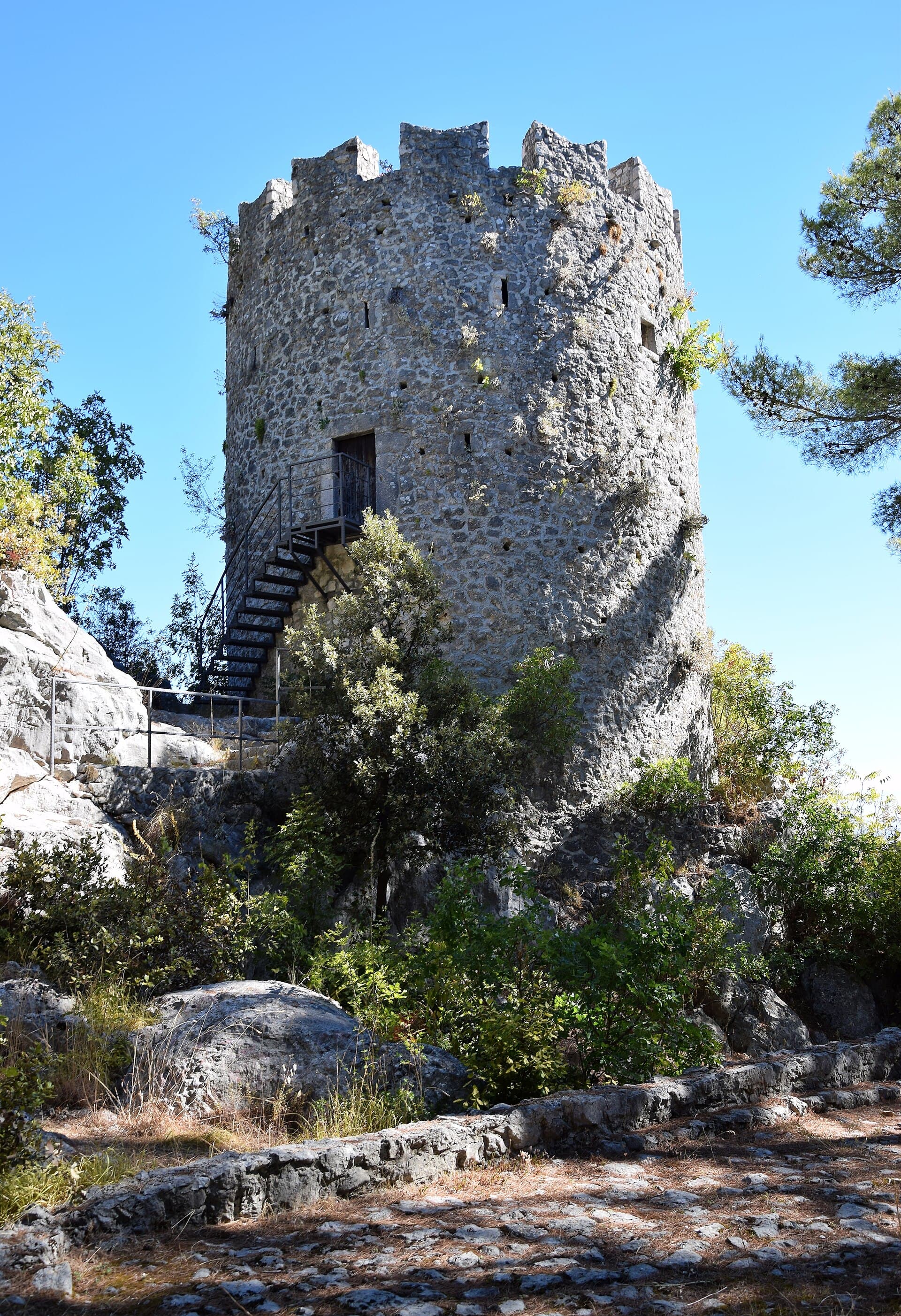
Avala
Landmark · Vrgorac
A cylindrical Ottoman tower with a conical roof between Vrgorac's fortress and the city, known for its beauty and strategic location.
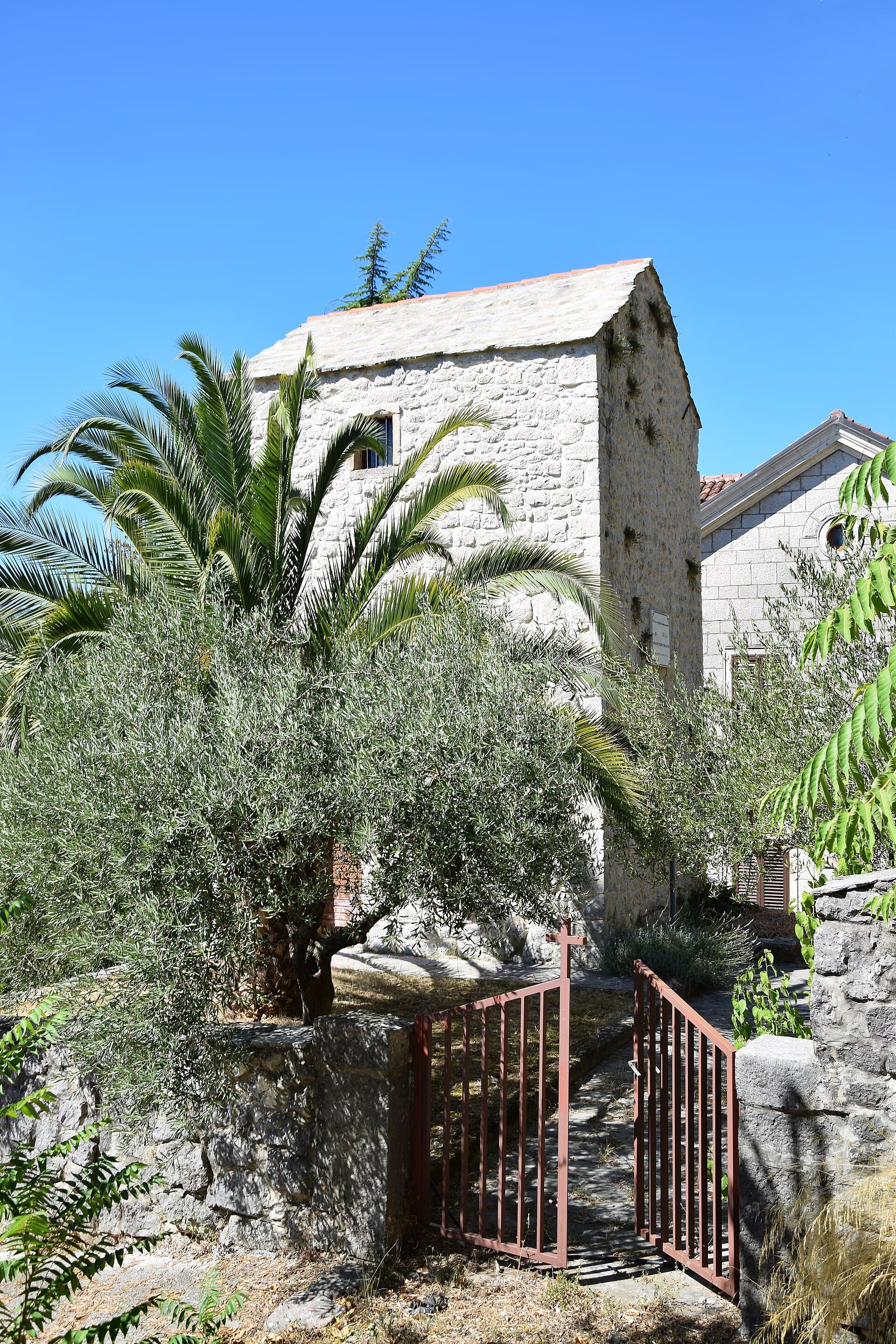
Fratarska kula
Landmark · Vrgorac
A 17th-century Franciscan tower on Splitska 23 in Vrgorac, liberated in 1690 and given to friars, birthplace of poet Tin Ujević.
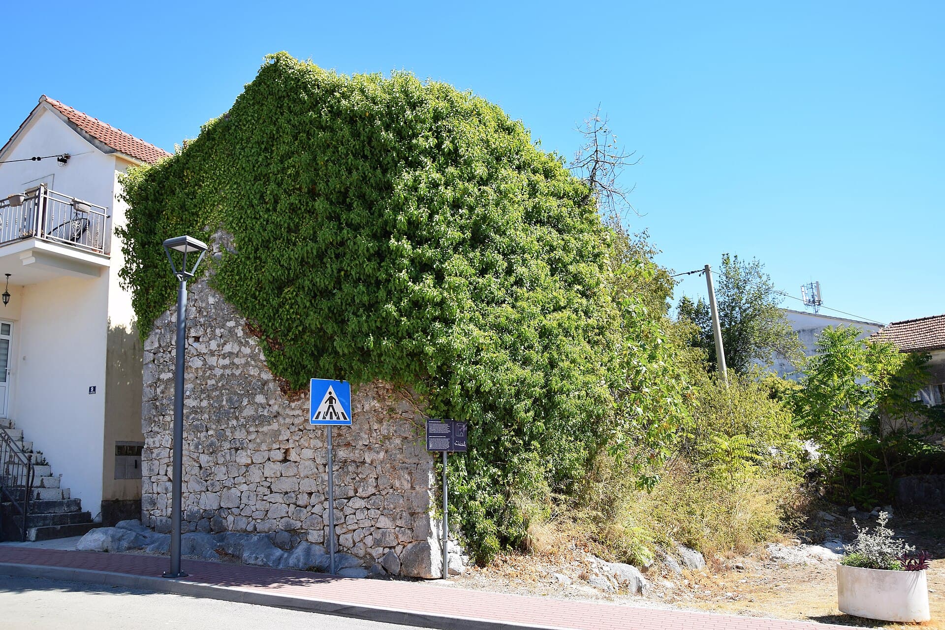
Muminova kula
Landmark · Vrgorac
Mumin Tower is a small stone tower-house in Vrgorac’s old core, associated with the name of Mumin-aga Atlagić.
More to see
Pakerova kula
Landmark · Vrgorac
Paker Tower, formerly known as the Šabić Tower, is one of Vrgorac’s surviving tower-houses from the Ottoman period.
Stays nearby
- Apartment
 26 km from Vrgorac
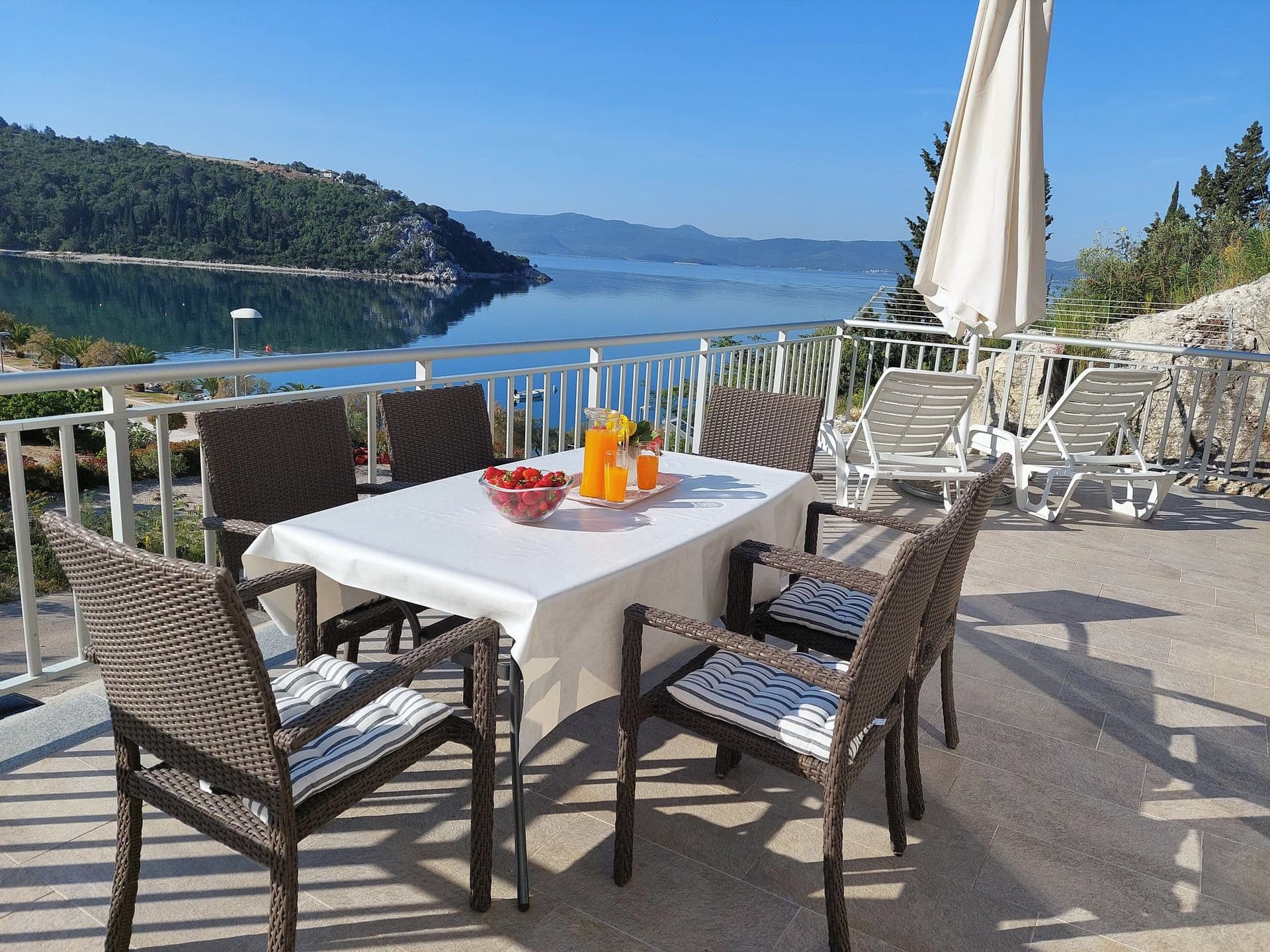
Apartman Frana DeLux - prvi red do mora, plaža 20 m
Opuzen
up to 6 guests · 2 bedrooms
from €100 / night
Check availability
Be the first to list here
Guests looking for this place only see stays nearby for now. No commission, and enquiries come straight to you.
List your accommodation
Beaches
Vrgorac has no seacoast or town beach, so swimming requires an excursion towards the Makarska Riviera or the Neretva valley. Makarska is about 36 kilometres away by road, while Baćina Lakes, roughly 24 kilometres from town, provide a freshwater alternative to the Adriatic. The Neretva mouth lies around 25 kilometres away and is known for its broad sandy landscape, lagoons and winds used for water sports. A car is the practical choice for returning to Vrgorac because the town has no organised local public-transport network.
Things to do
Begin in the old quarter among Vrgorac’s towers: the Dizdarević Tower introduces Tin Ujević’s story, while the Friars’ and Paker towers show how Ottoman-period defensive houses were woven into the settlement. Continue uphill past Avala to Gradina, built above a route that linked the hinterland with the coast; the height reveals the town’s layout beneath Matokit. Back below the fortress, walk through the town park and along the Korzo before finishing with a tasting of Vrgorac wine or Dalmatian prosciutto. From late April through May and June, the local strawberry season adds farm produce and seasonal stalls to a walk through the historic centre.
Food and drink
Vrgorac’s table is distinguished by Dalmatian prosciutto, goat’s cheese, cured mutton, snails with spring onions and ćupter, a sweet made from grape must; bikla is the area’s blend of young wine and goat’s milk. In town, Restaurant Pilač on Fra Ivana Rožića Street combines the family winery’s tasting room with cooked-to-order dishes and a terrace facing Rastok field and Matokit. Borovac rural household sits below Gradina and serves produce from its own farm, but its small capacity makes advance booking necessary. A short drive away in Kotezi, Izletište Andrija specialises in prosciutto, cheese, spit-roasted lamb and meat or vegetables cooked under the bell.
Tours and activities
AdAd · partner offers: Viator, GetYourGuideThe partner handles booking, payment and support. StayBravo may earn a commission on bookings made through these links.How we choose offersWe choose offers based on the page you are viewing: the partner destination for this place or the nearest one (with its distance), and on a sight page only offers that mention it. We show offers rated at least 4.3 with at least 10 reviews, without multi-day tours or pure transfers, ordered by rating adjusted for the number of reviews and then by the partner’s order. We do not use data about you, and the commission does not affect the order.GetYourGuide offers are selected and ordered by GetYourGuide based on the name of the nearest larger town or national park; we do not influence their selection and do not use data about you.GetYourGuide · Makarska
We show GetYourGuide offers once you allow their cookies.
Viator
Nearest destination: Makarska (30 km)
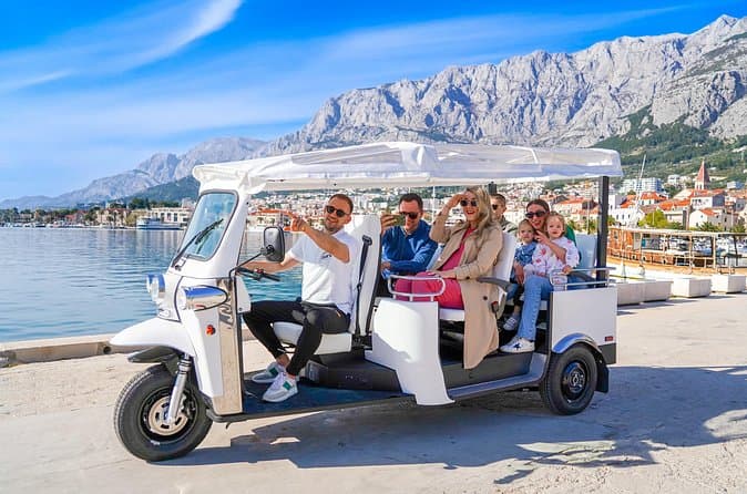
Makarska: Skywalk Tour with a Tuk Tuk - Skip the line ticket (opens in a new tab)
Skywalk – A walkway made of glass at the edge of a cliff; 1.228 m above sea level. One of the most photogenic places in Croatia Tour Guide EN/DE/HR Take a scenic ride in an open Tuk Tuk through…
Rated 5 out of 5 · 629 reviews· 2.5 h
Free cancellation
from €59
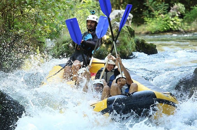
River Rafting from Split- Cliff Jumping- Cave Visit (opens in a new tab)
Experience a thrilling blend of exhilarating rafting and captivating activities on the Cetina River for an all-encompassing adventure. Led by a seasoned local guide with over 10 years of expertise…
Rated 5 out of 5 · 178 reviews· 6 h
Free cancellation
from €40
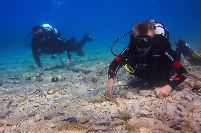
BRELA Bikini Dive *Try SCUBA DIVING* (opens in a new tab)
Almost everywhere Try Scuba Dive is done in large groups and with duration of max 30min. Before that often you will travel for 1 hour on overcrowded boat and wait for your turn to go underwater even…
Rated 5 out of 5 · 103 reviews· 2 h
Free cancellation
from €134

Private Blue Cave Tour from Split, Brač, Trogir and Hvar (opens in a new tab)
The private version of our Blue Cave tour is more than just a boat trip – it’s a fully customized Adriatic adventure designed to match your pace, preferences, and travel style. ⚓ What’s Included: •…
Rated 5 out of 5 · 51 reviews· 10 h
Free cancellation
from €1,500
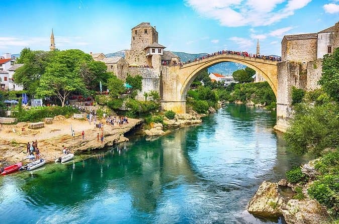
Mostar and Kravice Waterfalls Day Tour from Dubrovnik (opens in a new tab)
Our English-speaking tour guide will make sure your day is interesting, informative, and enjoyable. You will discover a new country, its culture, traditions, and history. The day starts with a…
Rated 4.8 out of 5 · 1,427 reviews· 11 h
Free cancellation
from €45
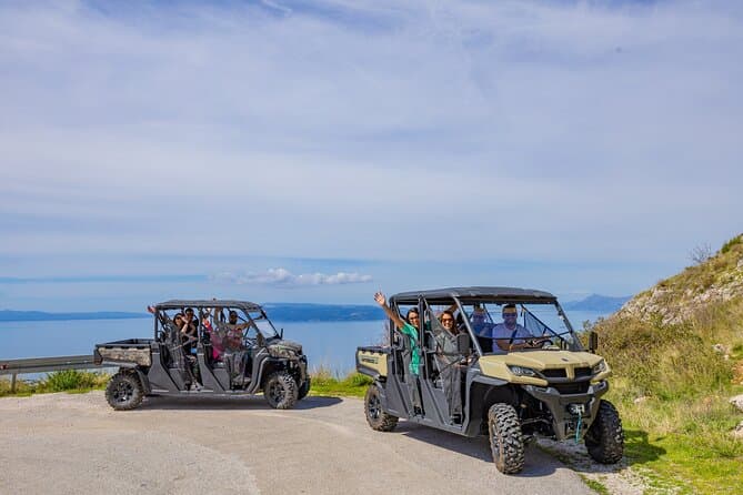
Makarska: Baggy Skywalk & Biokovo viewpoint Tour (opens in a new tab)
We are your ticket to an incredible adventure on the Makarska Riviera. If you're looking for an unforgettable experience, our Skywalk tour in the Biokovo Nature Park is the perfect choice.As the…
Rated 4.9 out of 5 · 71 reviews· 4 h
Free cancellation
from €59
Practical information
Practical information
The Vrgorac Tourist Board is located at 49 Hrvatskih Velikana Street, where visitors can ask about the towers, Gradina, wine tastings and trips into the Vrgorac fields. Two pharmacies serve the town: the county pharmacy at 23 Vukovarska Street and Prima Farmacia at 19 Hrvatskih Velikana Street. Family doctors, paediatrics, a medical laboratory and radiology services are also grouped at 23 Vukovarska Street. Spring is closely tied to the Vrgorac strawberry harvest, while a summer walk from the old quarter to exposed Gradina is best scheduled for the cooler morning or late-afternoon hours.
Getting there and around
Vrgorac bus station stands at 3 Šetalište Mate Raosa in the central part of town and is managed by the municipal company Gradska čistoća i usluge. City information lists FlixBus and Globtour as operators using the station; individual intercity and international departures should be checked for the intended travel date. Facilities include an accessible public toilet, free municipal Wi-Fi, a bicycle repair station and two electric-vehicle chargers. On school days, the station is busiest between 6:30 and 7:30 and again from noon to 13:30, when school buses arrive and depart.
Frequently asked questions
Does Vrgorac have a town bus network?
No, Vrgorac does not have an organised urban public-transport network.
Which operators use Vrgorac bus station?
FlixBus and Globtour use the station on Šetalište Mate Raosa.
Which tower is regarded as Tin Ujević’s birthplace?
Dizdarević, or Kapetanović, Tower is remembered as Tin Ujević’s birthplace.
Must a meal at Borovac be booked ahead?
Yes. The tourist board advises booking because the farm household has limited capacity.
How far are Baćina Lakes from Vrgorac?
Official city visitor information gives an approximate road distance of 24 kilometres.
Nearby
Vrgorac
Open in OpenStreetMap(opens in a new tab)Smaller places
straight-line distance
Related guides
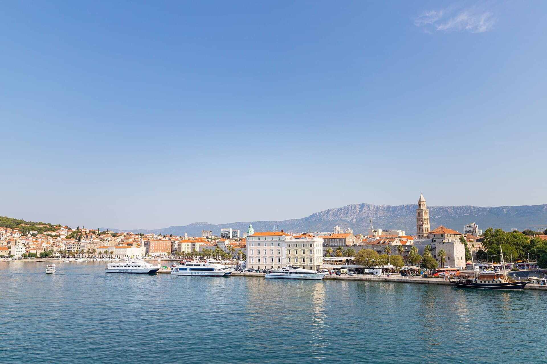
Split
In Split, the transition from ancient monument to ordinary street is almost imperceptible: entering the southern part of Diocletian’s Palace from the Riva leads towards the Peristyle, then…
Read the guide

Baška Voda
Baška Voda lies in the western part of the Makarska Riviera directly below the Biokovo massif. Once a fishing and seafaring settlement, it developed into a resort whose centre remains…
Read the guide
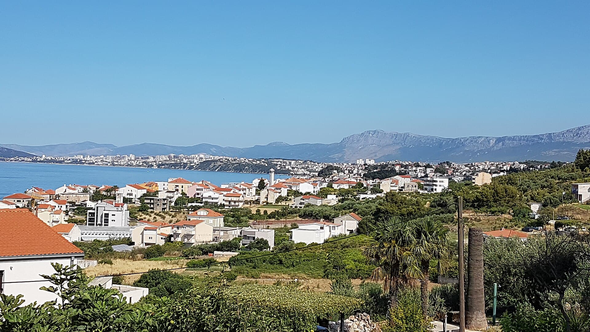
Podstrana
Podstrana is made up of five settlements. The oldest is Gornja Podstrana, set 290 to 340 metres above sea level beneath Perun, while Strožanac, Grljevac, Sveti Martin and Mutogras follow…
Read the guide

Brela
Brela is a municipal seat at the northern end of the Makarska littoral, about 15 km northwest of Makarska, on the Adriatic Highway and in a belt of pine forest at the foot of Biokovo. The…
Read the guide
Know Vrgorac? Correct us
Tell us in your own words what is not accurate. We check right away.Do not enter personal data. Corrections are checked by the StayBravo AI assistant; changes to the description are approved by an editor. Use the form instead
Do you know Vrgorac?
Help the guests who come after you.
Help us complete
Nothing is published without an editor’s review.Report illegal content
Photo credits: Vrgorac, Kotezi, Vrgorac, Banja, Vrgorac, Prapatnice, Podprolog, Gradina, Annunciation church, Avala, Fratarska kula, Muminova kula, Pakerova kula — Ma▀▄Ga (CC BY 4.0) · Dusina, Vrgorac, Veliki Prolog, Pojezerje — Ma▀▄Ga (CC BY-SA 3.0) · Orah — Quahadi Añtó 12:55, 29 January 2015 (UTC) (CC BY-SA 3.0) · Ravča — Mario Žamić (CC BY-SA 3.0) · Staševica — Vikiçizer (CC BY-SA 4.0) · Otrić-Seoci — Ma▀▄Ga (CC BY 3.0) · Tinova kula, Baška Voda — Mario Žamić (CC BY-SA 3.0) · Apartman Frana DeLux - prvi red do mora, plaža 20 m — Ivan Mador (courtesy of the property owner) · Split — dronepicr (CC BY 2.0) · Podstrana — Romanm (CC BY-SA 4.0) · Brela — Josip-Pino Žamić (CC BY-SA 4.0)