Pitve
About this place
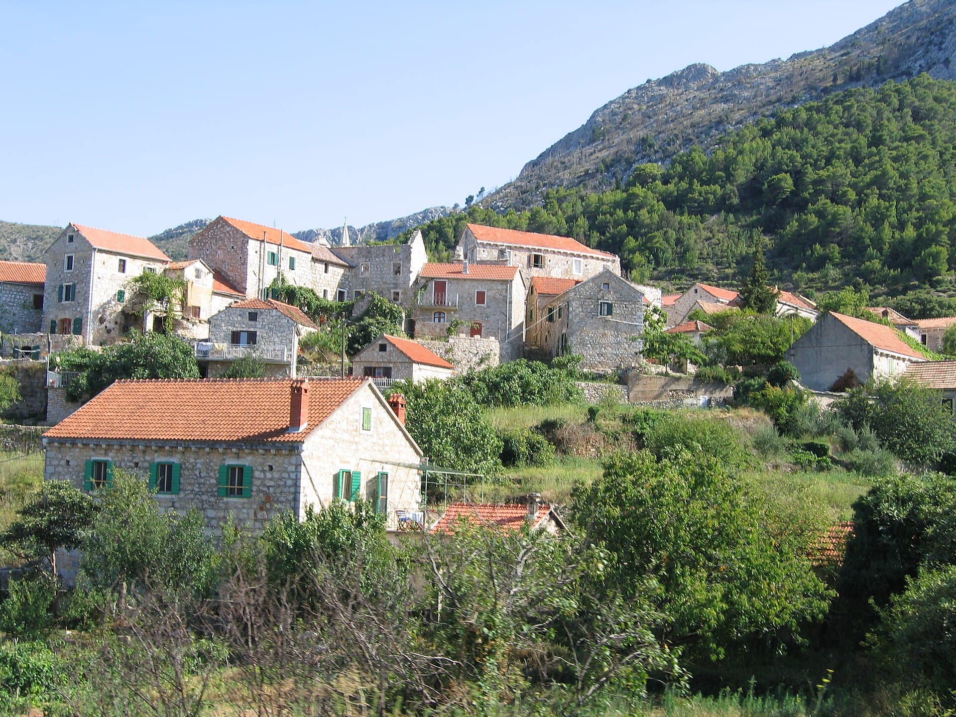
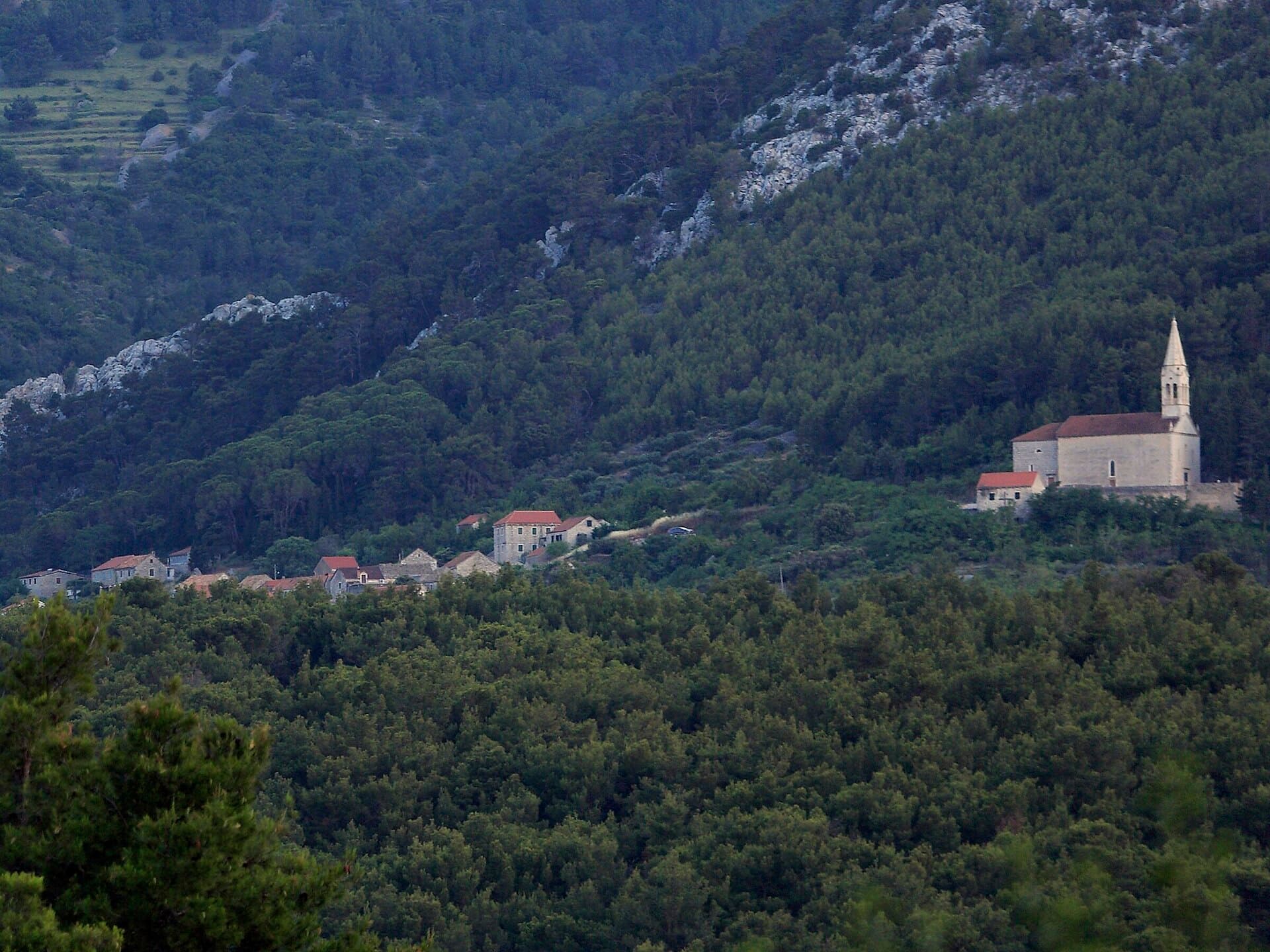
Pitve sits above Jelsa, between central Hvar and the tunnel leading to the island’s southern shore. The settlement is divided into Lower and Upper Pitve, with the older upper quarter tucked beside the Vratnik gorge in a naturally defensible position. Rising above the stone houses is the parish church of St James: an earlier church on the site was recorded in 1452, while the present building was erected after its predecessor was demolished in 1877 and consecrated in 1878. A two-faced stone head of the Roman god Janus stands outside, and the elevated churchyard looks across the Stari Grad Plain towards Brač and the Biokovo range. The former village school, which closed in 1965, now houses the Jelsa Municipal Museum’s viticulture collection, including vineyard, cellar and traditional kitchen tools. Pitve is also one of the six villages on Hvar’s overnight Za križen procession, whose Maundy Thursday route links Jelsa, Pitve, Vrisnik, Svirče, Vrbanj and Vrboska. St James’s feast is observed locally on 25 July with Mass, a procession and a gathering on the village square.
Pitve is not a seaside resort but a stone-built hillside village above Jelsa, divided into Lower Pitve and the older Upper Pitve. Its setting is shaped by the Vratnik gorge and the passage towards Hvar’s southern coast, while the cultivated Stari Grad Plain spreads below. Olive groves, vineyards and lavender plots around the houses preserve the village’s agricultural character. That heritage is interpreted most clearly in the local viticulture collection inside the former school, where objects illustrate vineyard and cellar work during the nineteenth and early twentieth centuries. The church of St James, standing between the two quarters, remains Pitve’s principal landmark and viewpoint.
Things to see
Crkva sv. Jakova u Pitvama
Landmark · Pitve
The Parish Church of St James the Apostle in Pitve is a Historicist church built on the site of an earlier parish church.


Crkva sv. Mihovila u Jelsi
Landmark · Jelsa
Gothic church from 1463 reveals treasures of Renaissance art and Baroque altars.
2 km from Pitve
Stays further afield
- Apartment
 30 km from Pitve
- Apartment
 44 km from Pitve
- Apartment
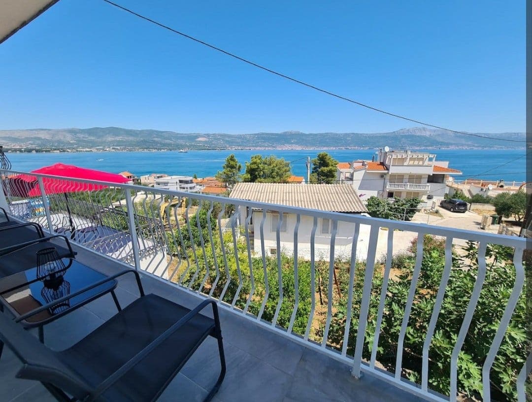 47 km from Pitve
- Apartment
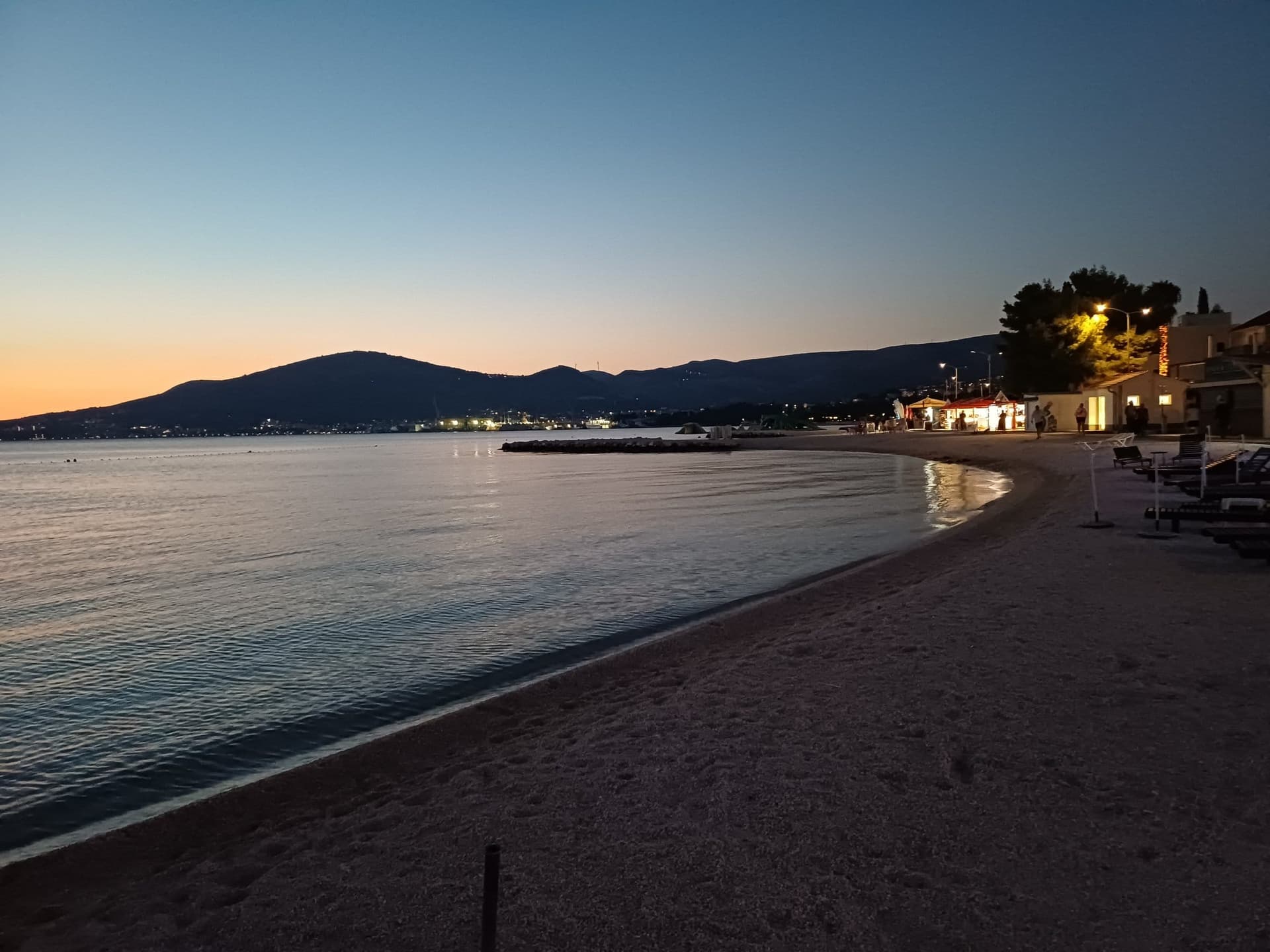 50 km from Pitve
- Apartment
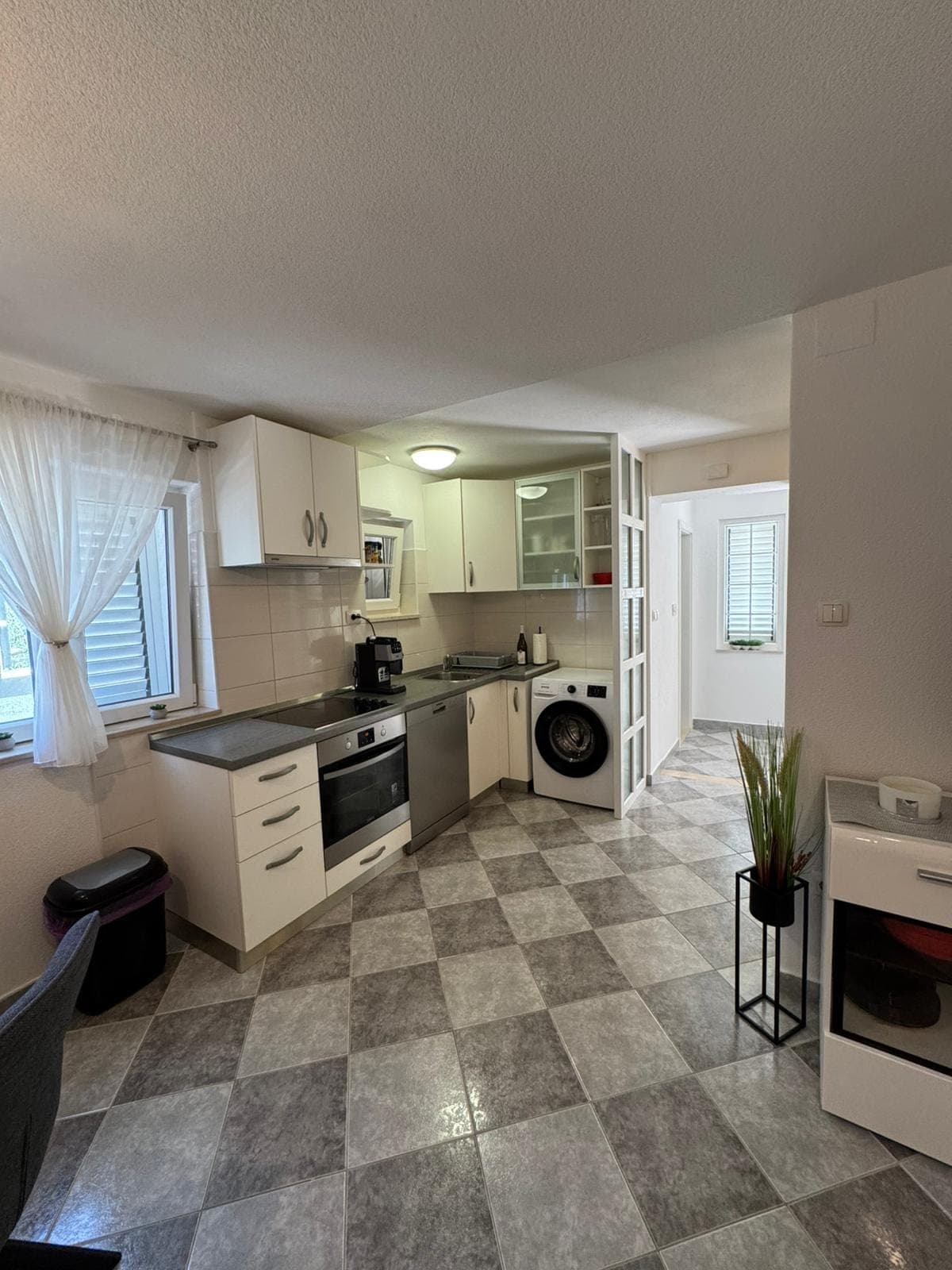 50 km from Pitve
Be the first to list here
Guests looking for this place only see stays nearby for now. No commission, and enquiries come straight to you.
List your accommodation
Beaches
Pitve has no shoreline of its own, so swimming means travelling either down to Jelsa or through the Pitve–Zavala tunnel to Hvar’s southern coast. The tunnel provides the road link from the village towards Zavala, but bicycles, mopeds and motorcycles are not permitted inside. At 1,400 metres long and only 2.30 metres wide, it carries alternating one-way traffic through rough rock walls, with passing bays and traffic lights—useful details when driving to the southern beaches. Travellers without a car will generally find the descent to Jelsa more practical; the harbour historically associated with Pitve lies about three kilometres below the village. Beach supplies are best organised before leaving Pitve because the village and its bathing spots are physically separate.
Bathing water quality nearby
- Hotel Fontana · 2.9 kmexcellent
Source: European Environment Agency (EEA); data from Croatian authorities. · bathing water profile
Things to do
Explore Pitve on foot from the lower settlement into older Gornje Pitve, finishing the climb at St James’s Church above the stone houses. Its hillside outlook reaches Jelsa, Brač, Vrisnik, the Makarska coast and Biokovo, while a two-faced Roman head of Janus stands beside the church. For a longer outing, follow the eight-kilometre Jelsa–Vratnik–Pitve–Jelsa Nordic-walking circuit, graded moderate and estimated at roughly two and a half hours. The return leg descends along the historic path through Pitve’s olive groves and vineyards, once the village’s working link with its port at Jelsa.
Tours and activities
AdAd · partner offers: Viator, GetYourGuideThe partner handles booking, payment and support. StayBravo may earn a commission on bookings made through these links.How we choose offersWe choose offers based on the page you are viewing: the partner destination for this place or the nearest one (with its distance), and on a sight page only offers that mention it. We show offers rated at least 4.3 with at least 10 reviews, without multi-day tours or pure transfers, ordered by rating adjusted for the number of reviews and then by the partner’s order. We do not use data about you, and the commission does not affect the order.GetYourGuide offers are selected and ordered by GetYourGuide based on the name of the nearest larger town or national park; we do not influence their selection and do not use data about you.GetYourGuide · Bol
We show GetYourGuide offers once you allow their cookies.
Viator
Nearest destination: Brac Island (17 km)
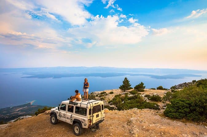
Feel and Taste island Brac with local experts - island adventure to remember (opens in a new tab)
• Meet real Brač heritage by visiting original places with a local guide • Visit a family Olive Oil museum, hear the story about tradition and do the tasting • Have an authentic lunch in a…
Rated 5 out of 5 · 110 reviews· 8–9 h
Free cancellation
from €260
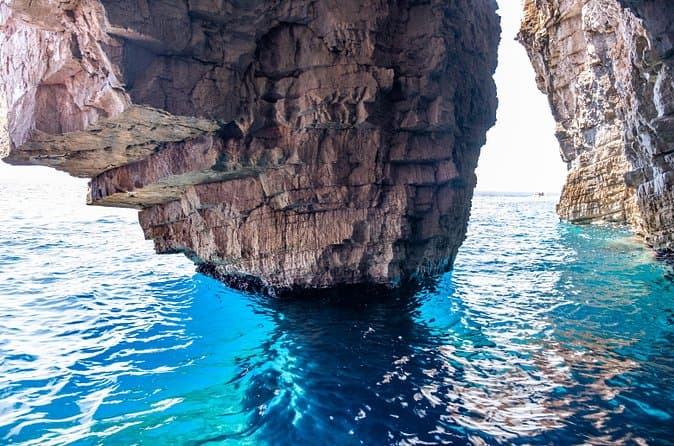
Luxury Blue Cave, Hvar and Vis Boat Tour from Split and Brac (opens in a new tab)
A brand new powerful speedboat equipped with a cabin, WIFI, toilet and hard top is ideal for spending the day out at sea with our young and enthusiastic team. For over a decade we have been sharing…
Rated 4.9 out of 5 · 566 reviews· 10 h
Free cancellation
from €174

Private Blue Cave Tour from Split, Brač, Trogir and Hvar (opens in a new tab)
The private version of our Blue Cave tour is more than just a boat trip – it’s a fully customized Adriatic adventure designed to match your pace, preferences, and travel style. ⚓ What’s Included: •…
Rated 5 out of 5 · 51 reviews· 10 h
Free cancellation
from €1,500
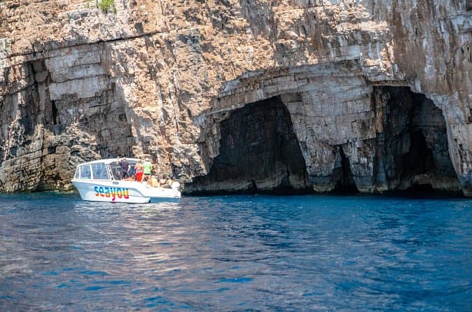
Private Luxury Boat tour for 12 from Split, Brac, Trogir, Hvar (opens in a new tab)
Explore the Middle Dalmatian islands with our 12m aluminum speedboat equipped with a cabin, toilet, WIFI, a hard top and high quality electronics with great music performance for a fun and exciting…
Rated 5 out of 5 · 65 reviews· 10 h
Free cancellation
from €1,650
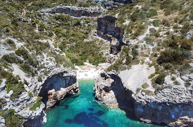
Blue Cave and Hvar Boat Tour: Small-Group from Split or Brac (opens in a new tab)
We are a small, family-owned company with years of experience, specializing in tourist boat excursions. Investing in our fleet of excursion boats continually for years, we now have a fleet of 7…
Rated 4.8 out of 5 · 561 reviews· 10 h
Free cancellation
from €140
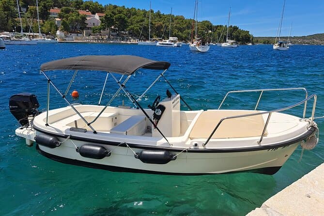
Explore by Betina boat West side of island Brac and Bobovisca (opens in a new tab)
Explore the most unique coast on island Brac. West coast offers you a lot of unexplored bays and coves, hidden villages including Bobovisca with free mooring for your boat and 2 top restaurants by…
Rated 5 out of 5 · 48 reviews· 8 h
Free cancellation
from €215
Practical information
Getting there and around
Drivers reach Pitve by leaving the D116 near Jelsa: traffic arriving from Hvar Town or Stari Grad turns right, while vehicles from Sućuraj turn left. The Pitve sign first leads into Lower Pitve; continuing straight reaches Upper Pitve, the church, cemetery and tunnel. From the mainland, Jadrolinija’s Split–Stari Grad car ferry is the practical approach, with the 2026 crossing listed at about 120 minutes. Čazmatrans operates Hvar’s local buses, with island tickets purchased from the driver. The onward road to Zavala passes through a narrow, alternating one-way tunnel controlled by traffic lights; bicycles, mopeds and motorcycles cannot use that passage.
Frequently asked questions
When is St James’s feast celebrated in Pitve?
Pitve celebrates its patron St James on 25 July with Mass and a procession around the church.
Are bicycles allowed through the Pitve–Zavala tunnel?
No; bicycles, mopeds and motorcycles are prohibited in the tunnel.
Where is the viticulture museum in Pitve?
The viticulture collection occupies the former primary school, which closed in 1965.
Nearby
Pitve
Open in OpenStreetMap(opens in a new tab)straight-line distance
Related guides
Split
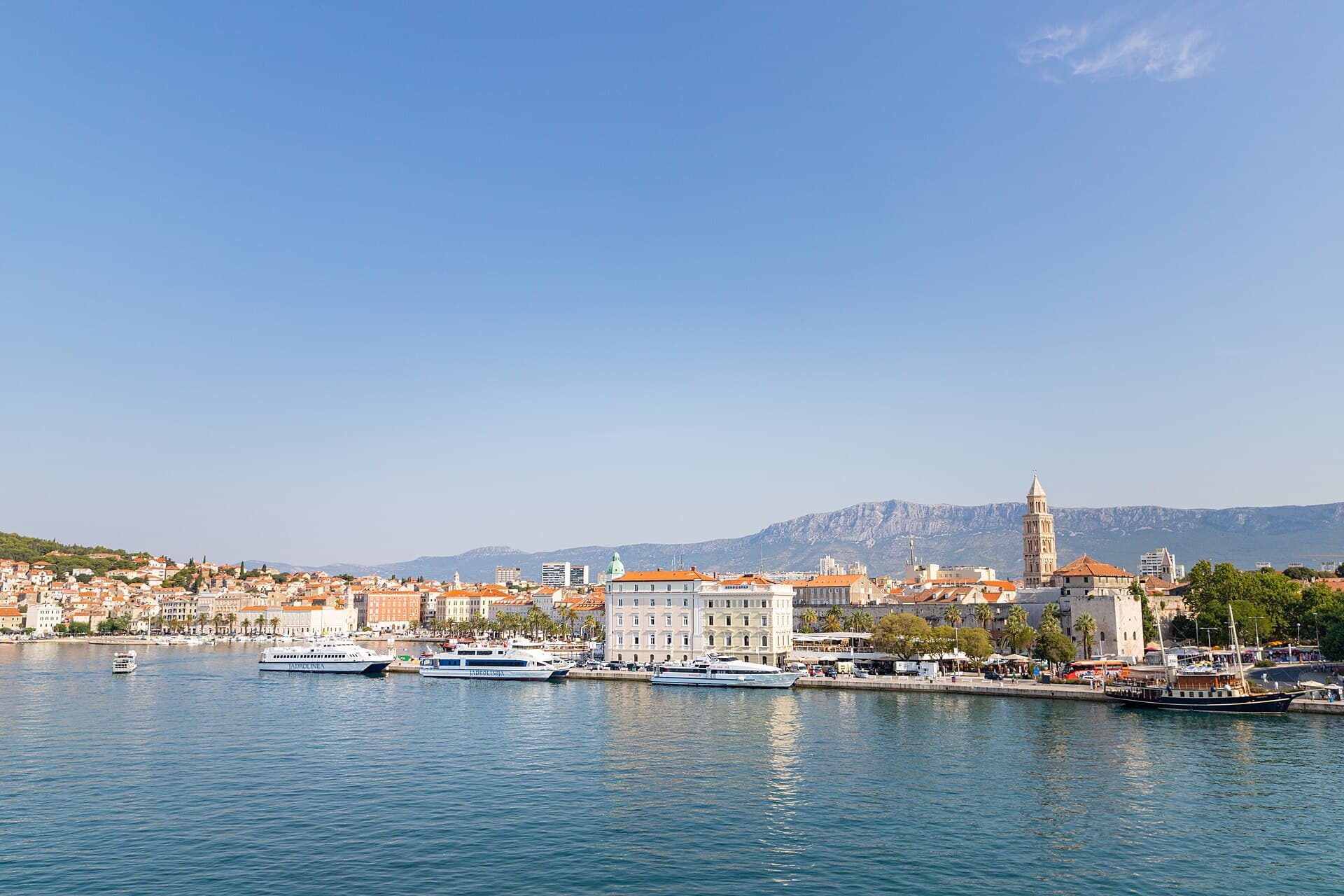
In Split, the transition from ancient monument to ordinary street is almost imperceptible: entering the southern part of Diocletian’s Palace from the Riva leads towards the Peristyle, then…
Read the guide

Baška Voda
Baška Voda lies in the western part of the Makarska Riviera directly below the Biokovo massif. Once a fishing and seafaring settlement, it developed into a resort whose centre remains…
Read the guide
Podstrana
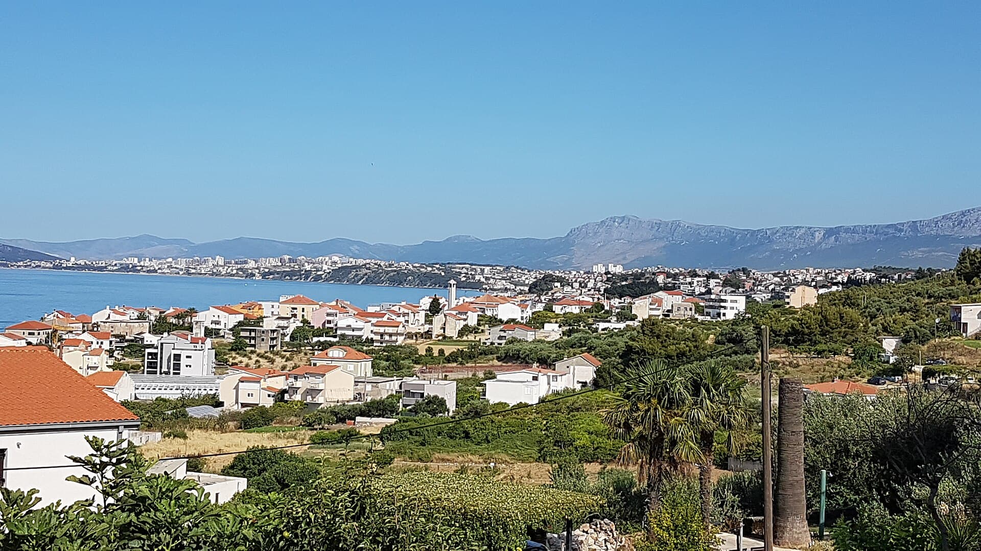
Podstrana is made up of five settlements. The oldest is Gornja Podstrana, set 290 to 340 metres above sea level beneath Perun, while Strožanac, Grljevac, Sveti Martin and Mutogras follow…
Read the guide

Brela
Brela is a municipal seat at the northern end of the Makarska littoral, about 15 km northwest of Makarska, on the Adriatic Highway and in a belt of pine forest at the foot of Biokovo. The…
Read the guide
Know Pitve? Correct us
Tell us in your own words what is not accurate. We check right away.Do not enter personal data. Corrections are checked by the StayBravo AI assistant; changes to the description are approved by an editor. Use the form instead
Do you know Pitve?
Help the guests who come after you.
Help us complete
Nothing is published without an editor’s review.Report illegal content
Photo credits: Pitve, Jelsa, Ivan Dolac — Juloml (CC BY-SA 3.0) · Vrisnik, Humac — Martin Brož (CC BY 3.0) · Vrbanj — Chippewa (CC BY-SA 4.0) · Vrboska — Carsten Steger (CC BY-SA 4.0) · Zavala, Jelsa — Topalaska (CC BY-SA 4.0) · Dol — Tartajun (CC BY-SA 3.0) · Crkva sv. Jakova u Pitvama — Falk2 (CC BY-SA 4.0) · Saint Anthony the Great church in Vrisnik, Church of Mary’s Assumption, Crkva sv. Mihovila u Jelsi — Argo Navis (CC BY-SA 4.0) · Villa Sara — Sara Stanic (courtesy of the property owner) · In The Palace — Partner (courtesy of the property owner) · Apartman A&K — Jelena Boban (courtesy of the property owner) · Apartman Lucija — Ljubica Munjiza (courtesy of the property owner) · Apartmani Mirjana — Mirjana Rapić (courtesy of the property owner) · Split — dronepicr (CC BY 2.0) · Baška Voda — Mario Žamić (CC BY-SA 3.0) · Podstrana — Romanm (CC BY-SA 4.0) · Brela — Josip-Pino Žamić (CC BY-SA 4.0)