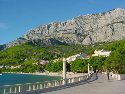
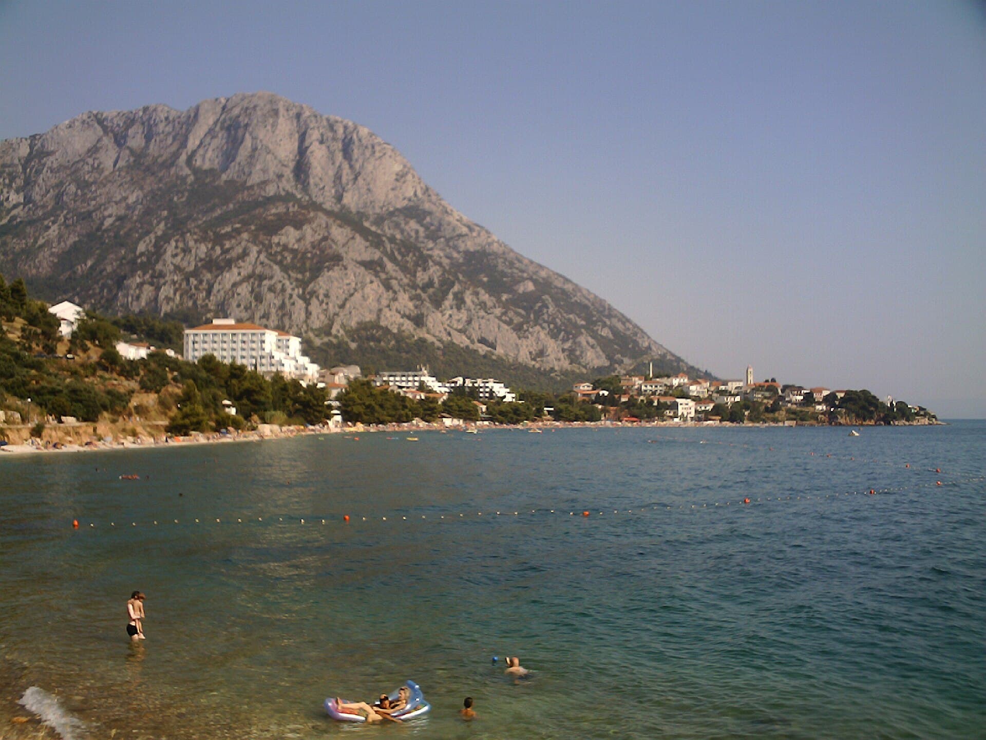
Gata
About this place
Gata lies in the Omiš hinterland, beneath Mount Mosor and above the Cetina canyon, in an area that served for centuries as the political heart of the Principality of Poljica. Beneath Gradac hill, the people of Poljica publicly elected their government and grand duke each year on St George’s Day. Evidence of a far older community survives beside St Cyprian’s Church, where an Early Christian complex dates to the age of Justinian. Founded in 1974, the Historical Museum of Poljica preserves traditional dress, tools, weapons, Glagolitic books and objects from local daily life. Above the village, St George’s Church crowns the 353-metre Gradac hill, overlooking Omiš and the Cetina canyon. Ivan Meštrović’s statue of Mila Gojsalić, the heroine of a local legend about resistance to the Ottomans, stands nearby. Gata is not a beach settlement: swimming means descending to Omiš, while the village itself offers archaeology, regional history and hill walks. Hinterland buses serve Gata, though less frequently than the coastal Split–Omiš route.
Gata forms a historic gateway between Poljica, Omiš and the Cetina canyon. Its defining feature is not coastal tourism but the legacy of the Principality of Poljica: the Poljica assembly met beneath Gradac and elected the grand duke on St George’s Day. Layers of local history range from the Early Christian remains at St Cyprian’s to the collection in the Historical Museum of Poljica. The surrounding terrain is equally important to the village’s character: Gradac rises to 353 metres, Mosor closes the northern skyline, and views open southwards across the Cetina towards Omiš. Gata consequently works best as a cultural and walking stop in the Omiš hinterland.
Stays nearby
 Apartment
Apartmeni Klenovica.eu
Klenovica
Klenovica, 234 km from Gata
up to 4 guests · 1 bedroom
The host confirms the exact price for your dates and availability.
Beaches
Gata has no seaside beach because it lies inland above Omiš and the Cetina canyon. The most practical swimming option is to descend to Omiš, whose town beaches occupy the coastal area around the river mouth. This geography makes it easy to spend the morning at the museum, St Cyprian’s or Gradac before moving to the sea for the hottest part of the day. Returning to Gata involves climbing the road out of the canyon, so walking with beach equipment is not a comfortable substitute for a car or bus. Hinterland services are less frequent than coastal route 60, and the return journey should be matched to the current timetable.
Bathing water quality nearby
- Punta - sredina · 3.0 kmexcellent · season 2025
Source: European Environment Agency (EEA); data from Croatian authorities. · bathing water profile
Things to do
Start at St Cyprian’s Church and examine the remains of its Early Christian complex from the age of Justinian. Continue to the Historical Museum of Poljica, whose collection includes local dress, craft tools, weapons, Glagolitic books and religious objects; visits need to be coordinated with an announced opening or guided appointment. For a broader view of the region, climb towards St George’s Church on the 353-metre Gradac hill. A final stop at the viewpoint with Ivan Meštrović’s statue of Mila Gojsalić links the legend of Poljica’s resistance with the landscape of the Cetina canyon and Omiš.
Practical information
Getting there and around
Gata is included in the suburban network linking Split, Omiš and settlements in the Omiš hinterland. The city’s 2026–2029 destination-management plan lists Gata among the places served by routes 28, 29, 60, 67, 68 and 69, while noting that departures through the hinterland are considerably less frequent than those on coastal route 60. Travellers arriving without a car should therefore check the exact date, direction and operating day of their service, particularly at weekends. The road from Omiš climbs from the Cetina area into Poljica, and a car makes it easier to combine the museum, Gradac and the Mila Gojsalić viewpoint.
Frequently asked questions
What does the Historical Museum of Poljica display?
The museum in Gata holds a largely ethnographic collection of Poljica dress, tools, weapons, Glagolitic books and religious objects.
Where did the people of Poljica elect their grand duke?
The government and grand duke were elected in Gata, beneath Gradac hill, on St George’s Day.
What can be seen from Gradac above Gata?
St George’s Church on 353-metre Gradac overlooks Omiš and the Cetina canyon.
Nearby
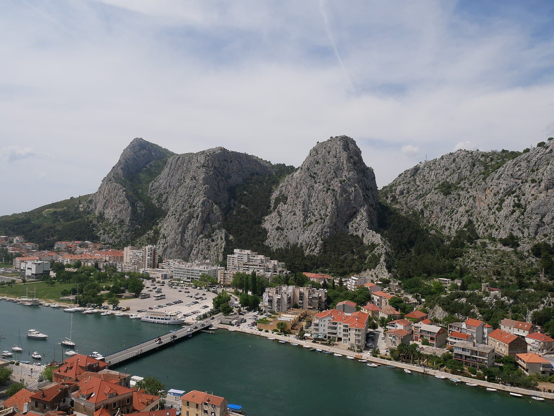
Omiš
Town · Dalmatia – Split

Related guides

Split
In Split, the transition from ancient monument to ordinary street is almost imperceptible: entering the southern part of Diocletian’s Palace from the Riva leads towards the Peristyle, then…
Read the guide

Help improve this page
Spot something missing or wrong? Suggest a correction, add your photo or report a problem. Editors review every suggestion before it is published.
Photo credits
- Gata — Ivan T. · CC BY-SA 3.0 · Wikimedia Commons
- Omiš — Zvone00 · CC BY-SA 4.0 · Wikimedia Commons
- Duće, Omiš — Rl91 · CC BY-SA 3.0 · Wikimedia Commons
- Apartmeni Klenovica.eu — Apartmani Klenovica.eu · courtesy of the property owner
- Split