About this place
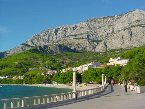
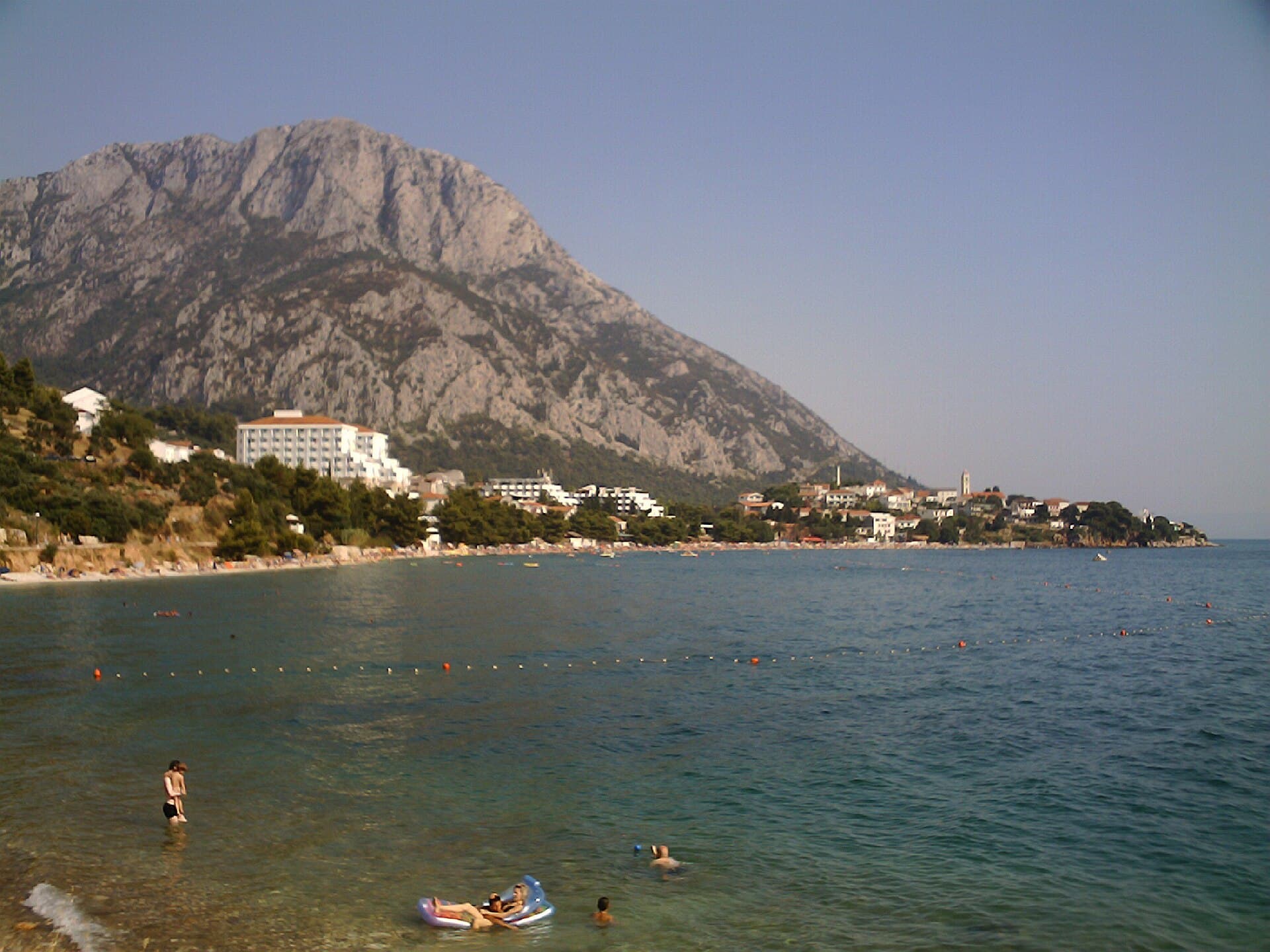
Duće follows roughly 1.8 kilometres of coast between Omiš and Dugi Rat, with the main road separating its sandy waterfront from older hillside hamlets beneath Poljička Gora. About 750 metres of the western shoreline consists of natural and landscaped beaches, while another shallow, 250-metre bathing stretch begins east of Duće’s small sports harbour. These gentle shallows—shaped by beach-protection groynes and the addition of sand and gravel—define the village more strongly than any conventional town centre. Vavlje, Golubinka, Luka and Rogač identify different parts of the long bathing strip, where campsites, apartments and waterfront venues line Poljička cesta. Above the coast, Stare Duće preserves the settlement’s older rural character in stone houses, small squares and narrow lanes. Omiš lies immediately to the east, making it easy to pair a morning swim with Mirabela and Fortica fortresses or an outing on the Cetina. Westward, Dugi Rat introduces the Poljica food tradition, including soparnik filled with chard and garlic and finished with olive oil.
Duće has no single waterfront or central square; instead, it unfolds as a chain of coastal neighbourhoods below old hillside settlements. Municipal planning documents define about 1.8 kilometres of shoreline, including a long western beach belt, Duće’s sports harbour and a shallow bay immediately east of it. The strip between the state road and the sea narrows to only 15–20 metres in places, then widens to around 70 metres near Duće Luka and the campsites. This unusual layout creates Duće’s characteristic mix of sandy swimming areas, compact camping grounds and houses lining Poljička cesta, with the rural stone fabric of Stare Duće looking down from the slope.
Stays nearby
 Apartment
Apartmeni Klenovica.eu
Klenovica
Klenovica, 234 km from Duće, Omiš
up to 4 guests · 1 bedroom
The host confirms the exact price for your dates and availability.
Things to see
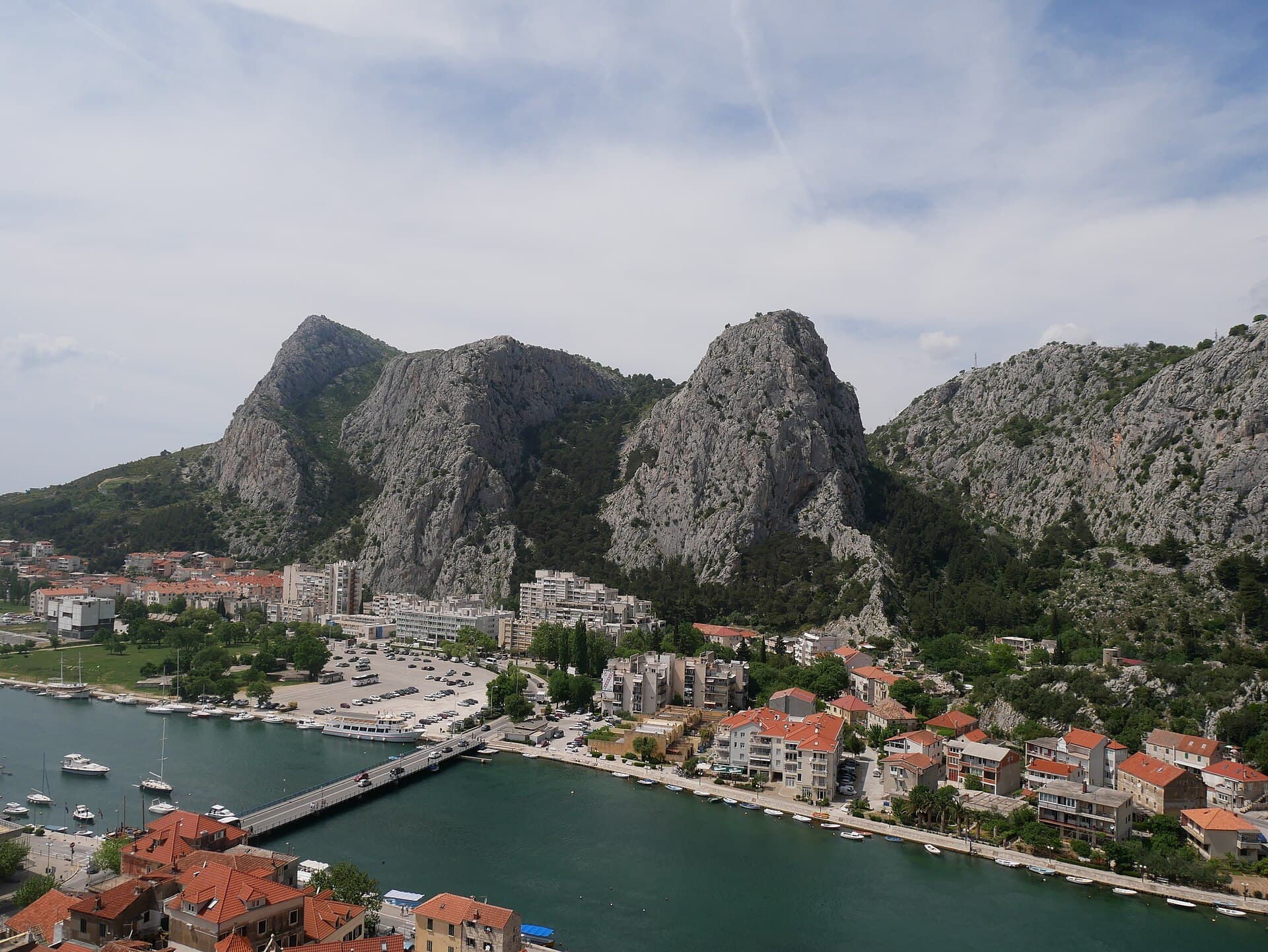
Duće’s defining sight is the uninterrupted relationship between its shallows and the older settlement on the hillside. Municipal documents specifically identify the sports harbour, roughly 750 metres of western beach frontage and a further 250-metre landscaped beach in the shallow bay east of the harbour. Stare Duće provides a contrasting scene of stone houses, modest squares and tight lanes, recognised by the county tourist board as part of the heritage landscape around Dugi Rat. For larger historic monuments, nearby Omiš and its old quarter at the Cetina estuary form the natural continuation of a visit from Duće.
Beaches
Duće’s bathing strip includes the named areas of Vavlje, Golubinka, Luka and Rogač, all associated with sand and broad shallows beside Poljička cesta. The western section contains around 750 metres of natural and landscaped beaches, while another 250 metres of maintained shoreline occupies the shallow bay east of the sports harbour. Coastal-protection groynes divide the waterfront into smaller compartments, and some sections have been replenished with sand and gravel. The gradual entry makes Duće particularly attractive to families, although the proximity of the main road calls for close supervision when children cross between accommodation and the beach.
Bathing water quality nearby
- Duće-Golubinka · 1.3 kmexcellent · season 2025
- Hotel Plaža, Duće · 1.3 kmnot classified · season 2025
- Dočine · 1.5 kmnot classified · season 2025
- Duće - Luka · 1.6 kmexcellent · season 2025
- Autokamp - zapad · 1.6 kmexcellent · season 2025
- Dugi Rat - Glavica · 2.1 kmexcellent · season 2025
Things to do
Begin a day in Duće in the shallow water at Vavlje or Golubinka, before the waterfront becomes busy with swimmers. A walk towards Duće’s sports harbour then reveals how the shoreline shifts between sand, replenished gravel and short rocky sections. In the afternoon, climb towards Stare Duće, where stone houses, pocket-sized squares and narrow passages preserve the village as it existed before coastal tourism expanded. As evening approaches, continue east into neighbouring Omiš for its old lanes or the climb to Mirabela Fortress, then return along Poljička cesta for a drink or meal beside Duće’s beach strip.
Practical information
Practical information
Duće’s tourist information point is at Poljička cesta bb, Vavlje 2; the Dugi Rat Tourist Board lists +385 21 734 321 and describes the office as seasonal. Its main office, at Poljički trg 1 in Dugi Rat, lists weekday opening from 7:00 to 15:00 in information available in 2026. Because Duće developed along the state road, shops, bus stops and beach entrances are distributed in a line rather than around one centre. In the busiest summer traffic, walking or using local transport is usually the more practical way to reach nearby Omiš.
Getting there and around
Duće stands directly on the coastal road between Split and Omiš, so no ferry crossing is involved. In 2026, Promet Split publishes suburban route 60 on the Ravnički Most–Omiš–Split corridor, although passengers should check the operator’s current map for stops and operating arrangements within Dugi Rat municipality. Drivers approach from Split through Podstrana and Dugi Rat, or from the Makarska direction through Omiš. As Poljička cesta separates much of the accommodation from the beach, reaching the water often requires crossing this busy road at designated points.
Frequently asked questions
Where is the tourist office in Duće?
The seasonal Duće tourist information point is at Poljička cesta bb, Vavlje 2, with the listed telephone number +385 21 734 321.
Are Duće’s beaches sandy?
Much of the shoreline is sandy and shallow, although some landscaped sections include replenished gravel and stone beside the protective groynes.
What is Stare Duće?
Stare Duće is the village’s older hillside quarter, marked by stone houses, small squares and narrow passages above the tourist waterfront.
Can I travel from Duće towards Split by bus?
Promet route 60 operates on the Omiš–Split corridor under the 2026 timetable; check the current stop and operating arrangements for Dugi Rat municipality before departure.

Related guides

Split
In Split, the transition from ancient monument to ordinary street is almost imperceptible: entering the southern part of Diocletian’s Palace from the Riva leads towards the Peristyle, then…
Read the guide

Help improve this page
Spot something missing or wrong? Suggest a correction, add your photo or report a problem. Editors review every suggestion before it is published.
Photo credits
- Duće, Omiš — Rl91 · CC BY-SA 3.0 · Wikimedia Commons
- Omiš — Zvone00 · CC BY-SA 4.0 · Wikimedia Commons
- Dugi Rat — Falk2 · CC BY-SA 4.0 · Wikimedia Commons
- Gata — Ivan T. · CC BY-SA 3.0 · Wikimedia Commons