
Dol
About this place
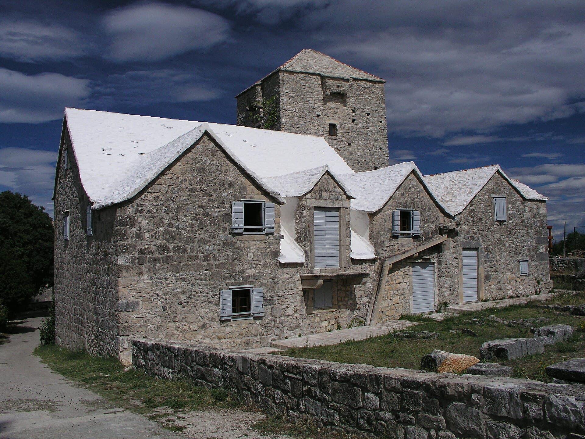
Dol occupies a steep-sided hollow about two kilometres inland from Postira, where stone houses follow the contours between outcrops of reddish hrapoćuša rock. The protected village ensemble first appears in records from the 14th century, although much of its monumental vernacular architecture took shape during the 18th and 19th centuries. Above the village, the pre-Romanesque Church of St Peter carries a 14th-century bronze bell, counted among the oldest on Brač. Higher still, St Michael’s Church on Miholjrat dates from the 9th or 10th century; traces of its original dome survive, while an ancient sarcophagus was ingeniously reused as the entrance. Dol’s identity is also edible. Hrapoćuša cake takes both its name and rugged appearance from the local red stone, and the knowledge of making it is protected Croatian intangible heritage. The village is likewise associated with vitalac, a Brač speciality made from lamb offal. Dol is therefore more than Postira’s inland neighbour: it brings together a protected rural settlement, early medieval chapels and culinary traditions still rooted in one small Brač valley.
Dol is a compact village built along the slopes of a deep hollow, its stone core running from the old Church of St Peter towards the edge of the fields. The protected rural ensemble includes stone-roofed houses, farm buildings and the fortified Gospodnetić complex, all fitted to the steep terrain rather than a regular street grid. Reddish breccia known locally as hrapoćuša forms both the surrounding caves and the fabric of Dol’s walls and buildings. The craggy hrapoćuša cake takes its name from that same rock, and its preparation is protected as intangible heritage specifically associated with the village.
Things to see

More to see
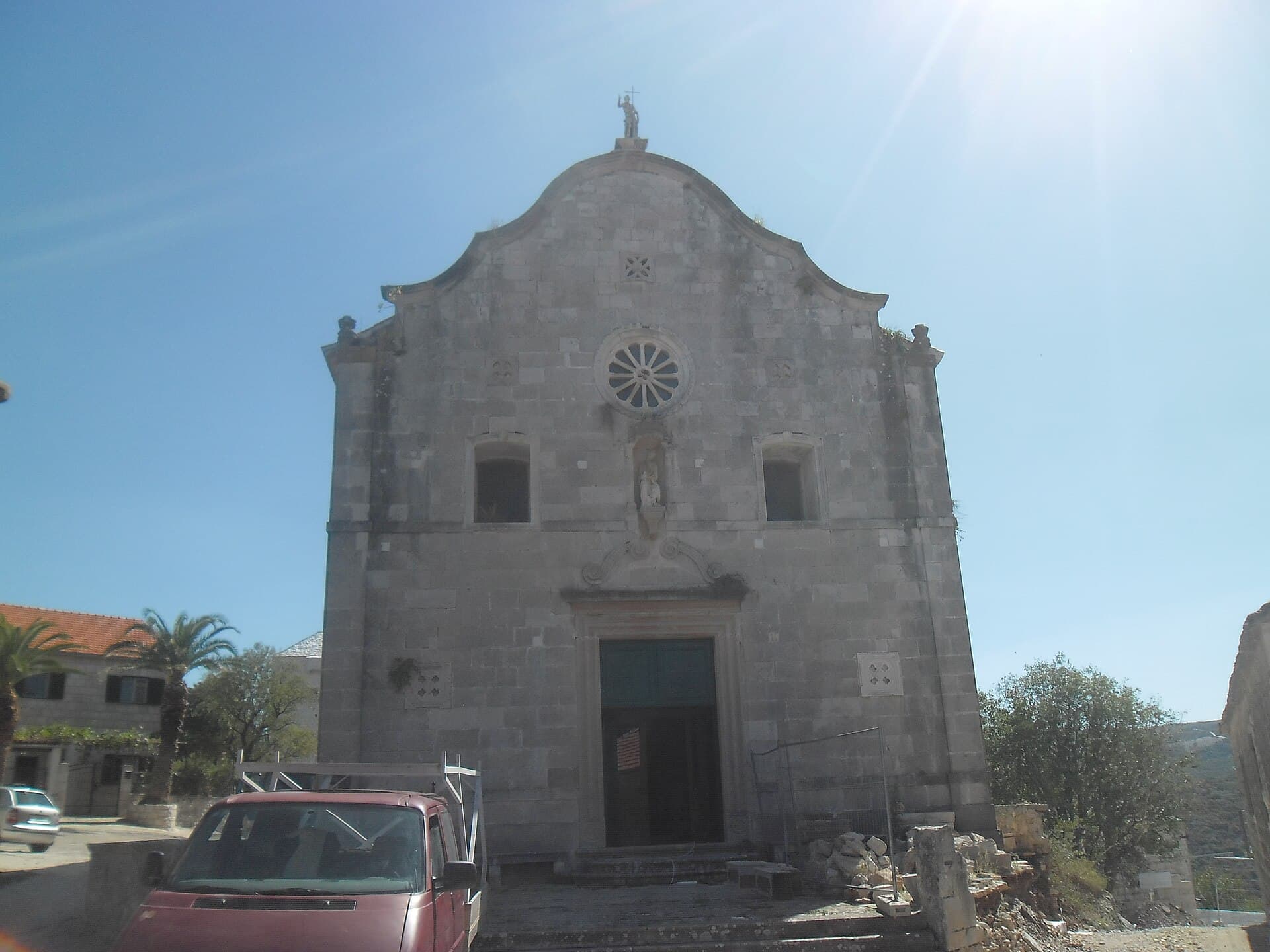
Crkva sv. Petra u Dolu na Braču
Landmark · Dol
St Peter’s Church in Dol, on Brač, is distinguished by a 14th-century bell cited as the island’s oldest.
Stays further afield
- Apartment
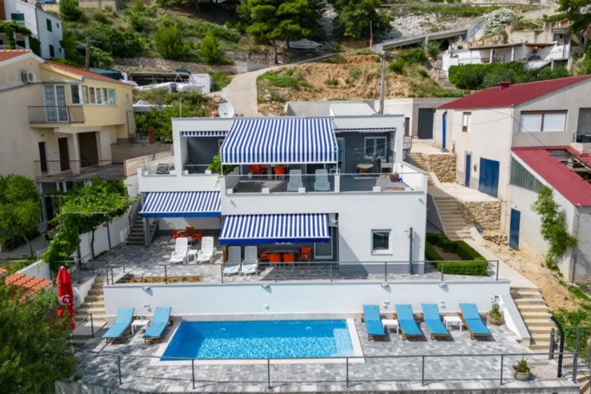 11 km from Dol
- Apartment
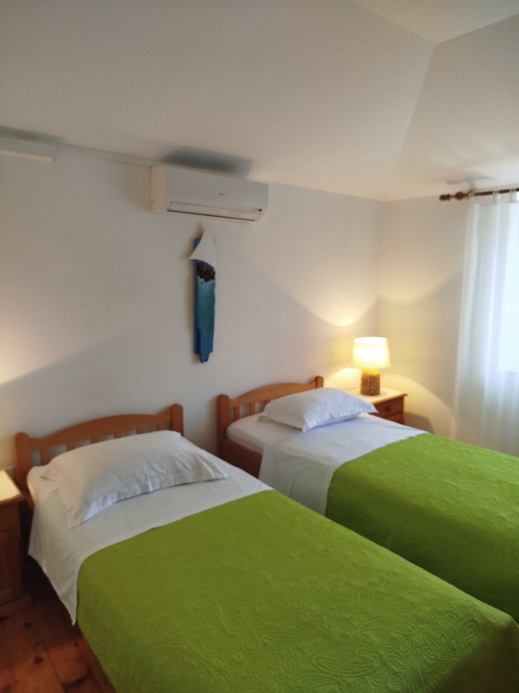 23 km from Dol
- Apartment
 29 km from Dol
- Apartment
 33 km from Dol
- Apartment
 33 km from Dol
Be the first to list here
Guests looking for this place only see stays nearby for now. No commission, and enquiries come straight to you.
List your accommodation
Beaches
Dol has no shoreline of its own, so the nearest swimming spots are downhill in Postira, about two kilometres away. Prja, at Postira’s western end, combines a pebble shore with sand under the water and has a nearby café, making it a practical choice for families with young children. Rot is a central pebble beach with adapted sea access for visitors with disabilities, while Žolo adds a grocery shop and food service close to the water. Molo Lozna provides another pebble option on Postira’s eastern side. For a genuinely sandy bay, continue four kilometres east of Postira to Lovrečina, described by the local tourist board as the largest sandy bay on Brač and distinguished by the remains of a 5th-century basilica beside the beach.
Bathing water quality nearby
- Prvlja · 2.8 kmexcellent
Source: European Environment Agency (EEA); data from Croatian authorities. · bathing water profile
Things to do
Begin in Dol’s stone-built core and climb to St Peter’s Church, set on a raised terrace with its 14th-century bell hanging in the bell gable. For a longer walk, continue uphill to Miholjrat, where the 9th- or 10th-century Church of St Michael incorporates an ancient sarcophagus as its doorway and preserves evidence of an earlier dome. Back in the village, inspect the caves and walls made from reddish hrapoćuša stone, then compare their coarse texture with the cake named after it. Finish by tasting hrapoćuša or vitalac, two specialities directly associated with Dol in the official Brač visitor guide.
Tours and activities
AdAd · partner offers: Viator, GetYourGuideThe partner handles booking, payment and support. StayBravo may earn a commission on bookings made through these links.How we choose offersWe choose offers based on the page you are viewing: the partner destination for this place or the nearest one (with its distance), and on a sight page only offers that mention it. We show offers rated at least 4.3 with at least 10 reviews, without multi-day tours or pure transfers, ordered by rating adjusted for the number of reviews and then by the partner’s order. We do not use data about you, and the commission does not affect the order.GetYourGuide offers are selected and ordered by GetYourGuide based on the name of the nearest larger town or national park; we do not influence their selection and do not use data about you.GetYourGuide · Bol
We show GetYourGuide offers once you allow their cookies.
Viator
Nearest destination: Brac Island (6 km)
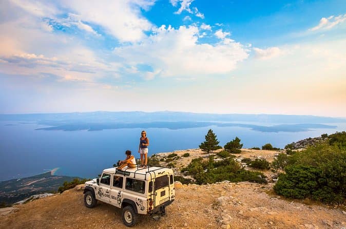
Feel and Taste island Brac with local experts - island adventure to remember (opens in a new tab)
• Meet real Brač heritage by visiting original places with a local guide • Visit a family Olive Oil museum, hear the story about tradition and do the tasting • Have an authentic lunch in a…
Rated 5 out of 5 · 110 reviews· 8–9 h
Free cancellation
from €260
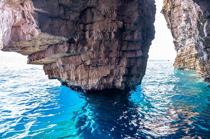
Luxury Blue Cave, Hvar and Vis Boat Tour from Split and Brac (opens in a new tab)
A brand new powerful speedboat equipped with a cabin, WIFI, toilet and hard top is ideal for spending the day out at sea with our young and enthusiastic team. For over a decade we have been sharing…
Rated 4.9 out of 5 · 566 reviews· 10 h
Free cancellation
from €174

Private Blue Cave Tour from Split, Brač, Trogir and Hvar (opens in a new tab)
The private version of our Blue Cave tour is more than just a boat trip – it’s a fully customized Adriatic adventure designed to match your pace, preferences, and travel style. ⚓ What’s Included: •…
Rated 5 out of 5 · 51 reviews· 10 h
Free cancellation
from €1,500
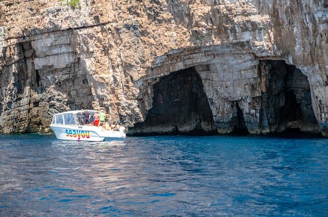
Private Luxury Boat tour for 12 from Split, Brac, Trogir, Hvar (opens in a new tab)
Explore the Middle Dalmatian islands with our 12m aluminum speedboat equipped with a cabin, toilet, WIFI, a hard top and high quality electronics with great music performance for a fun and exciting…
Rated 5 out of 5 · 65 reviews· 10 h
Free cancellation
from €1,650
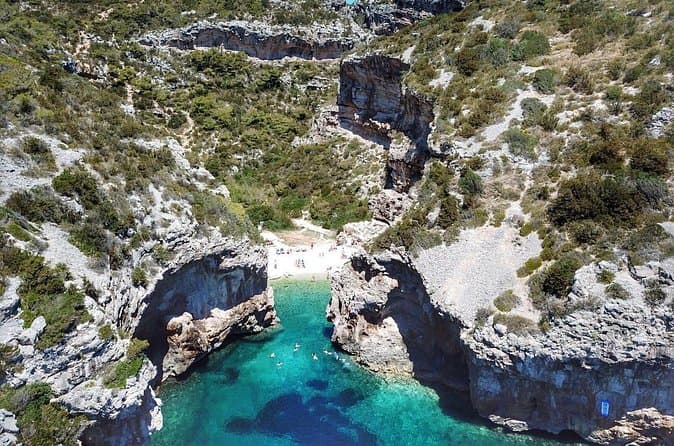
Blue Cave and Hvar Boat Tour: Small-Group from Split or Brac (opens in a new tab)
We are a small, family-owned company with years of experience, specializing in tourist boat excursions. Investing in our fleet of excursion boats continually for years, we now have a fleet of 7…
Rated 4.8 out of 5 · 561 reviews· 10 h
Free cancellation
from €140
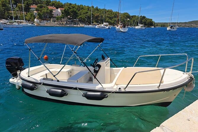
Explore by Betina boat West side of island Brac and Bobovisca (opens in a new tab)
Explore the most unique coast on island Brac. West coast offers you a lot of unexplored bays and coves, hidden villages including Bobovisca with free mooring for your boat and 2 top restaurants by…
Rated 5 out of 5 · 48 reviews· 8 h
Free cancellation
from €215
Practical information
Getting there and around
The main gateway to Brač for a journey to Dol is the ferry port at Supetar. Jadrolinija’s route 631 links Split and Supetar throughout the year, with a crossing time of 50 minutes. Local buses continue from Supetar towards Dol; the published island timetable includes direct Supetar–Dol departures, although travellers should check the schedule for their specific date. By road, Dol is approached through Postira, approximately two kilometres from the village. Drivers can take their vehicle aboard the Split–Supetar ferry, while car-free visitors can combine the ferry with an island bus. Beaches, shops and the harbour are reached by a short descent from Dol to Postira, with the return journey following the same road uphill.
Frequently asked questions
Does Dol have a beach?
Dol lies about two kilometres inland on Brač; the nearest maintained beaches are in Postira.
Which traditional dessert comes from Dol?
Hrapoćuša is Dol’s signature cake, and the tradition of making it is protected as Croatian intangible cultural heritage.
What is Dol known for?
Dol is known for hrapoćuša, a cake whose rough surface resembles local stone.
How long is the Profunda–Brač cycling route?
The Profunda–Brač route is 31.8 kilometres long and passes Mirje on its way towards Dol.
Where is Dol?
Dol lies two kilometres south of Postira on Brač.
Nearby
Dol
Open in OpenStreetMap(opens in a new tab)straight-line distance
Related guides
Split
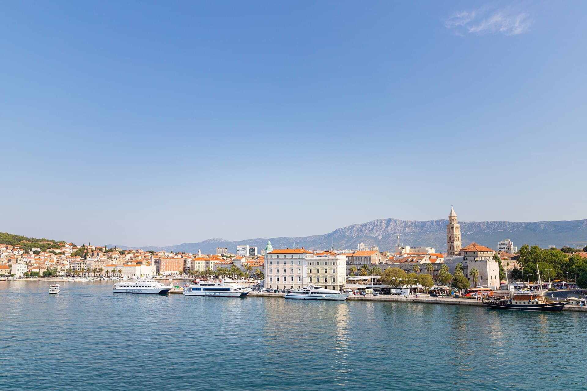
In Split, the transition from ancient monument to ordinary street is almost imperceptible: entering the southern part of Diocletian’s Palace from the Riva leads towards the Peristyle, then…
Read the guide

Baška Voda
Baška Voda lies in the western part of the Makarska Riviera directly below the Biokovo massif. Once a fishing and seafaring settlement, it developed into a resort whose centre remains…
Read the guide
Podstrana
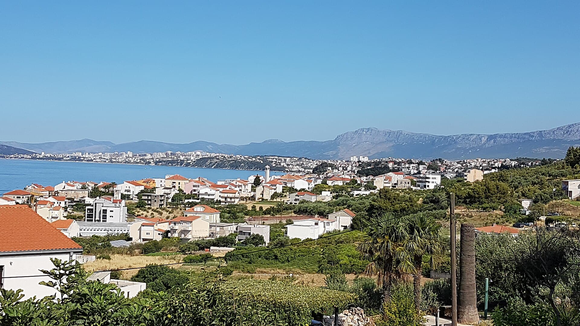
Podstrana is made up of five settlements. The oldest is Gornja Podstrana, set 290 to 340 metres above sea level beneath Perun, while Strožanac, Grljevac, Sveti Martin and Mutogras follow…
Read the guide

Brela
Brela is a municipal seat at the northern end of the Makarska littoral, about 15 km northwest of Makarska, on the Adriatic Highway and in a belt of pine forest at the foot of Biokovo. The…
Read the guide
Know Dol? Correct us
Tell us in your own words what is not accurate. We check right away.Do not enter personal data. Corrections are checked by the StayBravo AI assistant; changes to the description are approved by an editor. Use the form instead
Do you know Dol?
Help the guests who come after you.
Help us complete
Nothing is published without an editor’s review.Report illegal content
Photo credits: Dol — Ante Perkovic (CC BY 3.0) · Škrip — Honza Beran (CC BY 2.5) · Splitska — Falk2 (CC BY-SA 4.0) · Nerežišća — Marijan (Public domain) · Donji Humac — Denny (CC BY-SA 4.0) · Supetar — Kork~commonswiki (Public domain) · Pražnica, Church of Saint Helena — August Dominus (CC BY-SA 4.0) · Dračevica — Kelovy (Public domain) · Pučišća — Lemurek at English Wikipedia (Public domain) · Mirca — IvanOS (CC BY-SA 3.0) · Cerineo Castle in Škrip — Gaius Cornelius (CC BY-SA 4.0) · Villa Sara — Sara Stanic (courtesy of the property owner) · In The Palace — Partner (courtesy of the property owner) · Apartman A&K — Jelena Boban (courtesy of the property owner) · Apartman Lucija — Ljubica Munjiza (courtesy of the property owner) · Apartmani Mirjana — Mirjana Rapić (courtesy of the property owner) · Split — dronepicr (CC BY 2.0) · Baška Voda — Mario Žamić (CC BY-SA 3.0) · Podstrana — Romanm (CC BY-SA 4.0) · Brela — Josip-Pino Žamić (CC BY-SA 4.0)