About this place
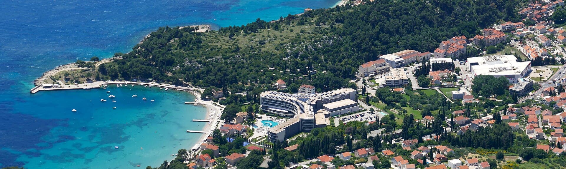
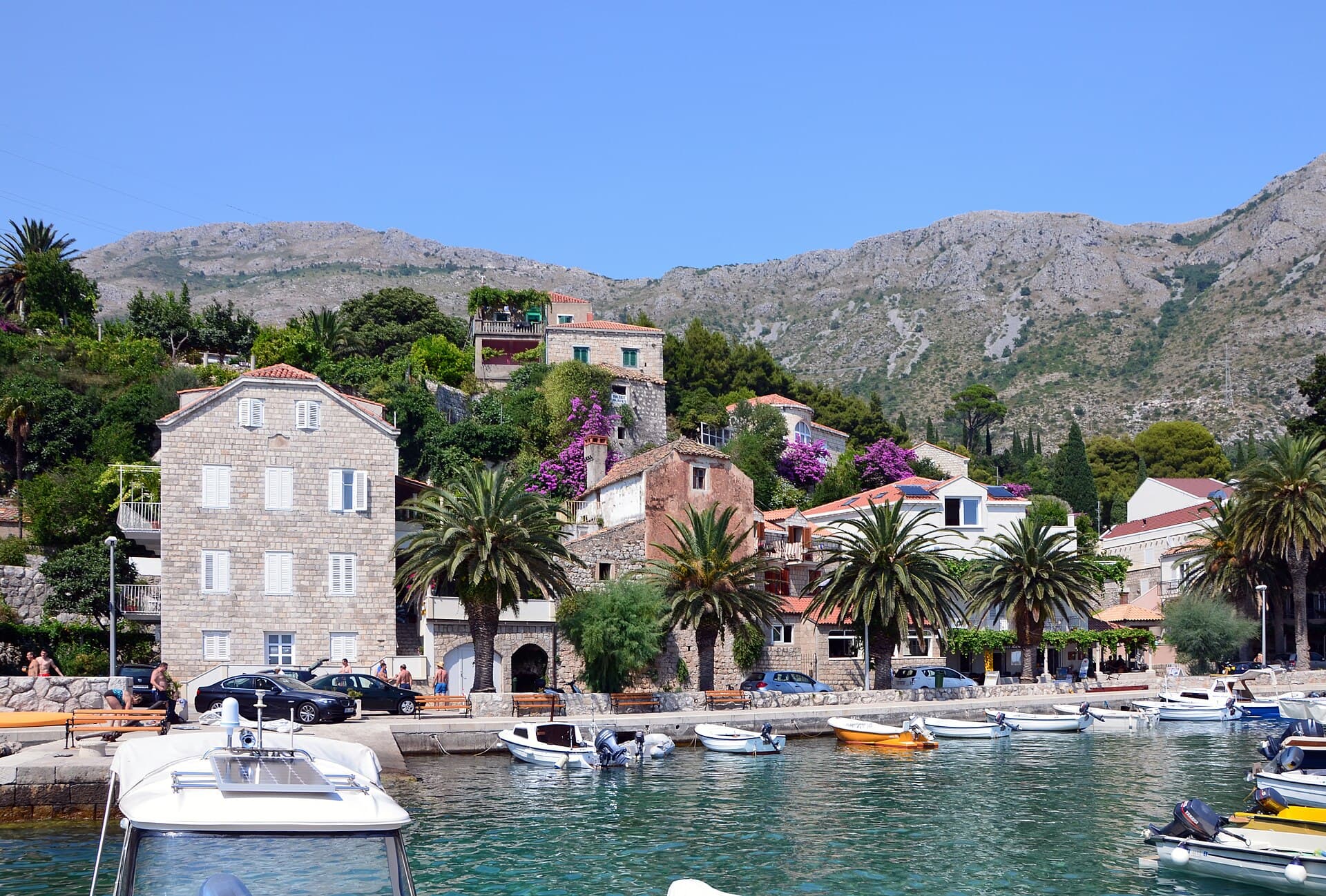
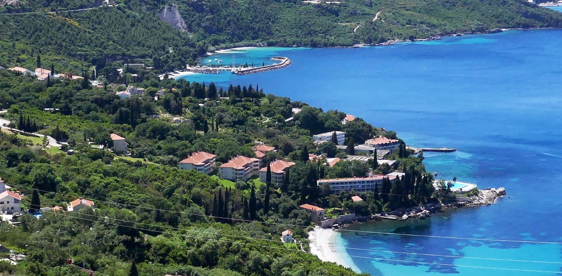
Plat is a Župa dubrovačka settlement between the Dubrovnik and Cavtat areas, spread across six hamlets between the coast and the slopes of Malaštica. The official tourism source records the name Plat in 1400, while the hill of Spion preserves traces from Illyrian and Roman periods. Among the small historic churches, St John stands on higher ground and is first mentioned in 1366, while the hamlet of Igrišta has the 16th-century Church of the Holy Spirit. The modern landscape also carries an industrial landmark: the Plat hydroelectric plant was built in 1965. Pebble beaches line the coast, including the small beach in Ljuta, also known as Robinson Bay, beneath steep rocks and tall poplars. For a specific meal, documented addresses include Poseydon at Pod Maslovo 5 and Restaurant King on Put Stjepana Radića. In 2026, Libertas route 16 links Dubrovnik and Plat with daily departures, making the village practical without relying exclusively on a car. Malaštica rises to 628 metres above Plat and strongly shapes the village’s hinterland.
Stays nearby
 Apartment
Apartmeni Klenovica.eu
Klenovica
Klenovica, 388 km from Plat, Župa dubrovačka
up to 4 guests · 1 bedroom
The host confirms the exact price for your dates and availability.
Things to see
Plat has several small landmarks spanning very different periods. The Church of St John on the hillside is first mentioned in 1366, while the Church of the Holy Spirit in the hamlet of Igrišta was built in the 16th century in a Gothic-Renaissance style. On Spion above the village, remains are associated with Illyrian and Roman occupation. A completely different landmark is the Plat hydroelectric plant, built in 1965 and described as the largest industrial facility in the area. The Račić family summer residence stands not far from the plant, bringing historic villa architecture and modern industrial heritage unusually close together.

Category:Stećci in cemetery of Church of St. Luke (Brotnice)
Landmark · Gabrili
6 km from Plat, Župa dubrovačka
Beaches
Plat is officially described as a resort with pebble beaches and clear sea, but the most distinctive named cove in the local description is Ljuta, also referred to today as Robinson Bay. It lies on the north-eastern side of Župa Bay toward Cavtat and Konavle. The steep rocks of Straža descend to a small pebble beach, with tall poplars forming a striking green frame above the shore. This is not an urban beach backed by a town promenade; its character comes from the rocks and vegetation. Other pebble stretches around Plat work well for straightforward swimming, while Ljuta is more appealing to visitors seeking a more secluded landscape.

Things to do
In Plat, it is worth combining the coast with the higher ground. After swimming on the pebble shore, walk toward the village’s small churches: St John on the hillside is first mentioned in 1366, while the Church of the Holy Spirit in Igrišta dates from the 16th century. For a more natural continuation, head toward Ljuta, now also called Robinson Bay, where steep rocks descend to a pebble beach. Above the settlement, Malaštica reaches 628 metres, while Spion preserves traces of Illyrian and Roman presence. The day can end at Poseydon, Pod Maslovo 5, or Restaurant King on Put Stjepana Radića.
Food and drink
For a specific dining address in Plat, the official Župa dubrovačka tourism portal lists Restaurant Poseydon at Pod Maslovo 5. A second documented option is Restaurant King on Put Stjepana Radića in Plat. Both are within the same small settlement, so a meal can be planned without travelling to Dubrovnik or Cavtat after a beach day. Poseydon is associated with the lower coastal part of Plat, while King provides another local option along the road through the village. This layout works especially well for a day combining Plat’s pebble shoreline and small churches before an evening return toward Dubrovnik on Libertas route 16.
Practical information
Practical information
For getting around without a car, the key service is Libertas suburban route 16 between Dubrovnik and Plat. The timetable available in 2026 shows daily departures in both directions, so Plat can serve as a base for visiting Dubrovnik by public transport. The official Župa dubrovačka tourism portal publishes local information on Plat, including beaches, restaurants and accommodation. One official accommodation listing in Plat gives Dubrovnik Airport as roughly eight kilometres away and bus stops about 300 metres from the property, confirming the village’s practical connection with the main transport points south of Dubrovnik.
Getting there and around
Libertas route 16 directly connects Dubrovnik and Plat in 2026. The published timetable includes daily departures, with both early-morning and evening services, making a car-free day trip to Dubrovnik feasible. Plat also lies on the Župa dubrovačka side toward Cavtat and the airport; an official tourism accommodation listing in Plat gives Dubrovnik Airport as roughly eight kilometres away and bus stops about 300 metres from the property. Travellers should use the current route 16 timetable for their exact departure because Libertas notes that schedules may change. Within Plat, the six hamlets are spread between the shoreline and the road running through the settlement.
Frequently asked questions
Is there a bus between Plat and Dubrovnik?
Yes. Libertas suburban route 16 links Dubrovnik and Plat with daily departures in the 2026 timetable.
What are the beaches in Plat like?
The official tourism site describes Plat as a destination with pebble beaches and specifically highlights the small pebble beach in Ljuta, or Robinson Bay.
When was the Plat hydroelectric plant built?
The Plat hydroelectric plant was built in 1965 and is described by the official tourism source as the area’s largest industrial facility.
Where can you eat in Plat?
The official tourism portal lists Restaurant Poseydon at Pod Maslovo 5 and Restaurant King on Put Stjepana Radića.
Nearby

Župa dubrovačka
Village · Dalmatia – Dubrovnik

Related guides

Dubrovnik
Dubrovnik’s historic centre is organised around Stradun, yet its character changes within a few steps of that main street. At the western end beside Pile stand the Large Onofrio Fountain,…
Read the guide

Help improve this page
Spot something missing or wrong? Suggest a correction, add your photo or report a problem. Editors review every suggestion before it is published.
Photo credits
- Plat, Župa dubrovačka, Župa dubrovačka, Soline, Župa dubrovačka, Srebreno, Zavrelje — Tiia Monto · CC BY 4.0 · Wikimedia Commons
- Zvekovica, Cavtat, Saint John's Fortress