Drenje
About this place
Drenje stands on the eastern foothills of Krndija, along the road from Đakovo to the wine-growing village of Mandićevac and Lake Borovik. Its present form is distinctly Slavonian: two streets follow the main road, accompanied by two side streets and two traditional lanes known locally as sokaci. The name is associated with the cornelian cherry, while the documented history reaches at least to 1406, when a charter mentioned Drenje Hill; another record identified Drenje as an episcopal estate in 1434. The parish church of St Michael now marks the village centre and belongs to a wider group of churches scattered across Drenje municipality. The surroundings visibly shift from the flat Đakovo plain towards Krndija’s wooded slopes. The most rewarding outing continues through Mandićevac to the reservoir at Borovik, where the shore and forest support walking and camping. Đakovo lies about 15 kilometres away, allowing visitors to pair Drenje with its cathedral and the State Stud Farm, founded in 1506. Arriva’s 2026 ticket documentation confirms the Drenje–Đakovo route, although a car or bicycle is more useful for reaching Borovik and the municipality’s smaller villages.
Drenje occupies the transition between the Đakovo plain and Krndija’s eastern foothills, roughly 15 kilometres by road from Đakovo. Its layout remains characteristically Slavonian: two streets follow the main road, two branch to the side, and two smaller sokaci complete the village plan. The name is linked to the cornelian cherry tree, while documents mention Drenje Hill in 1406 and record the settlement as an episcopal estate in 1434. The church of St Michael identifies today’s municipal centre, and the road through Drenje continues towards Mandićevac’s vineyards and the wooded landscape around Borovik.
Things to see


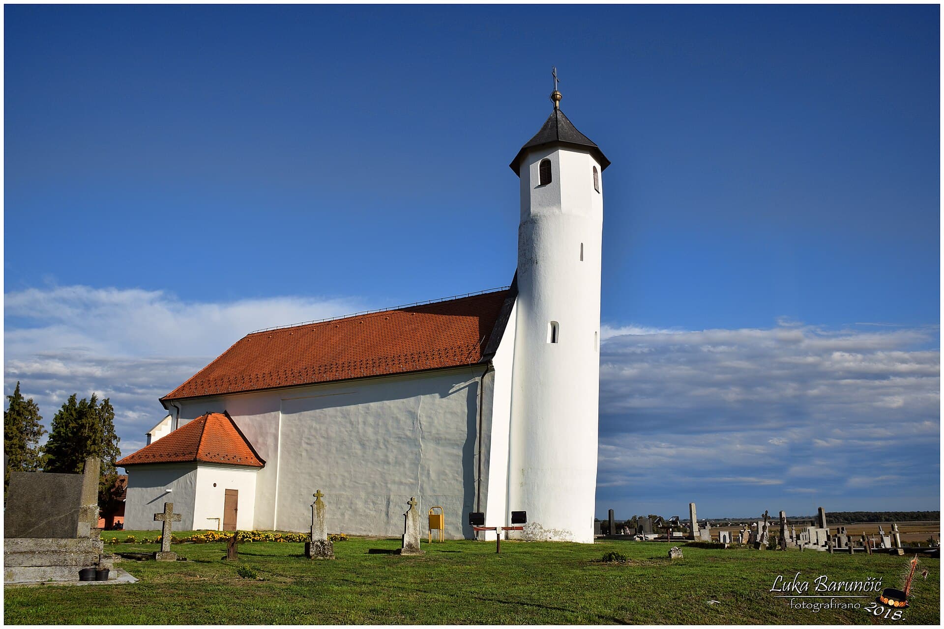
St. Bartholomew's Church in Novi Mikanovci
Landmark · Novi Mikanovci
church building in Stari Mikanovci, Croatia
27 km from Drenje
 Significant landscape
Stays
No stays listed here yet
Things to do
Start a short visit at the church of St Michael, then follow Drenje’s main street to see its preserved linear arrangement of houses and sokaci. For a fuller outing, continue towards the vineyards of Mandićevac and the Borovik reservoir. The lake took its name from the former settlement once located on its site, while the surrounding woodland now draws walkers and campers. The Drenje–Mandićevac–Borovik cycling direction links the village’s flatter terrain with vineyards and Krndija’s forest edge. Returning through Đakovo adds the State Lipizzaner Stud Farm, whose origins the regional tourist board dates to 1506.
Tours and activities
AdAd · partner offers: GetYourGuideThe partner handles booking, payment and support. StayBravo may earn a commission on bookings made through these links.How we choose offersGetYourGuide offers are selected and ordered by GetYourGuide based on the name of the nearest larger town or national park; we do not influence their selection and do not use data about you.GetYourGuide · Đakovo
We show GetYourGuide offers once you allow their cookies.
Practical information
Getting there and around
Drenje lies on the road linking it with Đakovo, approximately 15 kilometres away, and with Mandićevac and Borovik towards Krndija. Arriva’s 2026 term-ticket list includes Drenje–Đakovo and Drenje–Đakovo–Osijek, confirming public transport connections towards the area’s main hubs. Đakovo bus station offers onward services to Osijek, Slavonski Brod, Požega, Zagreb and other Croatian cities, and stands about one kilometre from the railway station. A private car or bicycle gives considerably more freedom for reaching Lake Borovik, Mandićevac’s vineyards and the municipality’s scattered smaller settlements than relying on local connections.
Frequently asked questions
How did Drenje get its name?
The village name is associated with the cornelian cherry tree, called drijen or dren in Croatian.
What stands in the centre of Drenje?
Drenje is home to the parish church of St Michael, listed by the municipality among its principal religious landmarks.
Where can visitors go into nature from Drenje?
From Drenje, the road through Mandićevac leads to Lake Borovik and its forest, an area used for walking and camping.
Nearby
Drenje
Open in OpenStreetMap(opens in a new tab)Smaller places
straight-line distance
Related guides

Osijek
Tvrđa and the centre around the main square are distinct starting points for understanding Osijek. The former emphasises the fortified historic quarter and Baroque architecture; the latter…
Read the guide

Vukovar
A cultural visit to Vukovar has several separate centres of gravity. Eltz Palace and the City Museum address the city and its inhabitants across different periods. Vučedol reaches much…
Read the guide

Stubičke Toplice
Stubičke Toplice derives almost its entire identity from thermal water and the Zagorje landscape. There is no large urban historic core; green spaces, bathing facilities and traces of the…
Read the guide
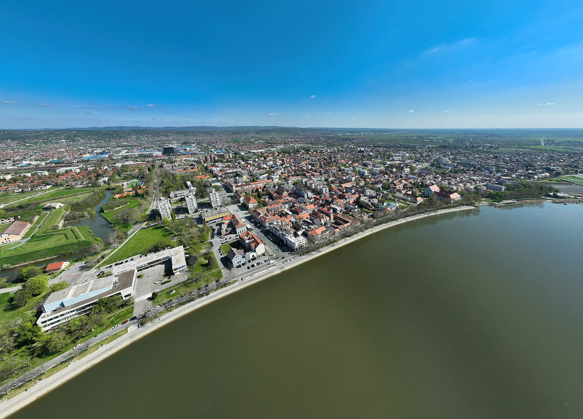
Slavonski Brod
Slavonski Brod developed around one of the major crossings of the Sava, and that border and transport role left a strong mark on the city. Brod Fortress represents the eighteenth-century…
Read the guide
Know Drenje? Correct us
Tell us in your own words what is not accurate. We check right away.Do not enter personal data. Corrections are checked by the StayBravo AI assistant; changes to the description are approved by an editor. Use the form instead
Do you know Drenje?
Help the guests who come after you.
Help us complete
Nothing is published without an editor’s review.Report illegal content
Photo credits: Gorjani — Roko Poljak (CC BY-SA 4.0) · Đakovo Cathedral — Author's own photo (CC BY 2.5) · Pejačević Manor — Flammard (CC BY-SA 3.0) · St. Bartholomew's Church in Novi Mikanovci — Barun501 (CC BY-SA 4.0) · Gajna — Frka (CC BY-SA 3.0) · Osijek — Rp031 (CC BY-SA 4.0) · Vukovar — Bybbisch94, Christian Gebhardt (CC BY-SA 4.0) · Stubičke Toplice — MOs810 (CC BY-SA 4.0) · Slavonski Brod — Petar Milošević (CC BY-SA 4.0)