
Draganić
About this place
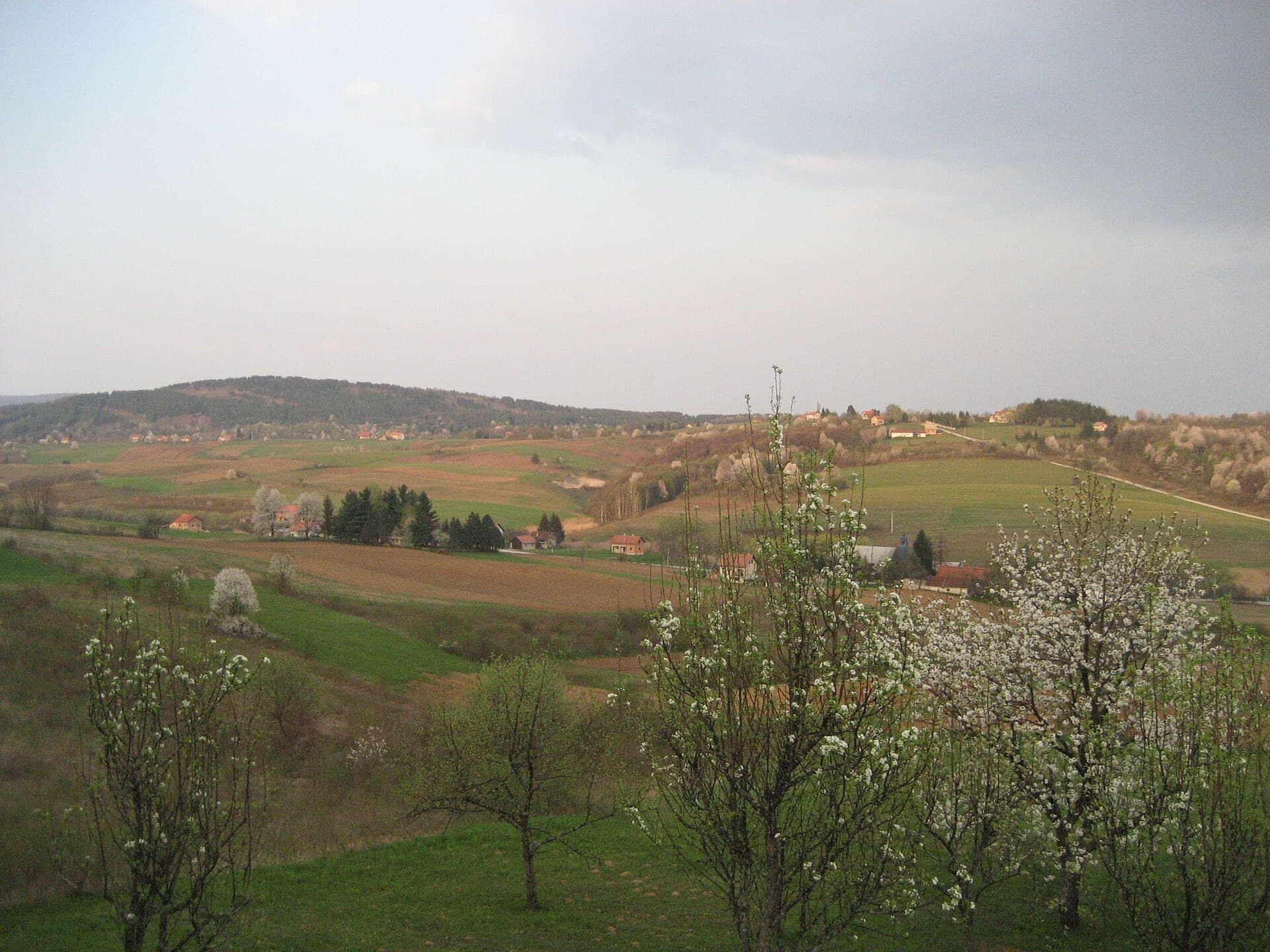
Draganić lies between Jastrebarsko and Karlovac, combining the unusual legacy of a self-governing noble community with a landscape of lowland oak forest. The local noble brotherhood descended from medieval castle retainers of Podgorje, and its lands appear in a charter issued by King Béla IV in 1257. The noble municipality survived until 1848, while descendants of long-established families such as the Zdelars, Pavlakovićs, Bencetićs, Sopićs and Herendićs still live in Draganić’s hamlets. Its most distinctive sacred monument is the wooden Holy Trinity Chapel at Bencetić-Goljak, built in 1689; the chapel’s 1692 altar bears a Croatian inscription. A different side of Draganić emerges in Draganić Forest, a wet pedunculate-oak habitat supporting black storks, ferruginous ducks and white-tailed eagles. A historical nature road crosses the woodland, while an 8.1-kilometre gravel cycle route continues to Rečica. Vineyards and timber houses appear on the surrounding hills, and small artificial lakes near Bencetići and Lazina remain from earth extraction during construction of the Zagreb–Karlovac motorway.
Draganić did not develop around a feudal manor: for centuries it was defined by a community of lesser nobles organised into their own municipality. The brotherhood emerged from the castle retainers of medieval Podgorje, probably receiving recognition of noble status during the 13th century. For protection, the community built a municipal fort at Gradišće near the parish church, elected eight local župans and chose its own Glagolitic priest until the mid-17th century. The noble municipality was abolished in 1848, yet the names of its historic families remain attached to present-day hamlets. Draganić’s landscape adds another contrast, shifting from vineyard-covered hills and timber houses to the lowland pedunculate-oak forest and its wetland birdlife.
Stays nearby
 Apartment
Apartmeni Klenovica.eu
Klenovica
81 km from Draganić
up to 4 guests · 1 bedroom
The host confirms the exact price for your dates and availability.
Things to do
Begin with the wooden Holy Trinity Chapel at Bencetić-Goljak, built in 1689, and look for the Croatian inscription on its 1692 altar. Then move into the lowland section of Draganić Forest, where a historical nature road interprets forestry, woodland pig grazing, traditional objects and the wildlife of the wider Kupa basin. Cyclists can continue along Route 42 towards Rečica: 8.1 kilometres of gravel cross habitat used by black storks, white-tailed eagles and ferruginous ducks. For a shorter circuit by bicycle or car, seek out the artificial lake in Bencetići and the two lakes at Petrinšćak near Lazina, all created by earth extraction during construction of the Zagreb–Karlovac motorway.
Practical information
Getting there and around
Draganić occupies the corridor between Karlovac and Jastrebarsko, with road connections towards Zagreb and access to the wider A1 motorway area. In its inter-county timetable valid from 7 April 2026, Autotransport Karlovac lists Karlovac–Draganić–Lulić–Jastrebarsko and Karlovac–Draganić–Krašić–Pribić services. Published weekday departures from Karlovac towards Jastrebarsko include 05:25, 06:10, 07:10, 09:30, 11:30, 13:15, 15:15 and 19:20, although the corresponding time through Draganić should be checked before travel. A bicycle or car is more practical for linking Draganić Forest, Bencetić-Goljak and Lazina because these sites are dispersed among separate hamlets and woodland roads.
Frequently asked questions
What makes Draganić’s history unusual?
For centuries Draganić formed a self-governing municipality of local nobles, which survived until 1848.
How long is the route through Draganić Forest?
Cycle Route 42 from Draganić Forest to Rečica is 8.1 kilometres long and follows a gravel track.
When was the Holy Trinity Chapel built?
The wooden chapel at Bencetić-Goljak was built in 1689, and its altar was installed in 1692.

Related guides

Senj
Senj occupies a narrow strip between the sea and the Velebit foothills, so its streets climb quickly from the harbour towards Nehaj Fortress. The Uskoks, the fierce bura wind, seafaring and…
Read the guide
Help improve this page
Spot something missing or wrong? Suggest a correction, add your photo or report a problem. Editors review every suggestion before it is published.
Photo credits
- Draganić — Suradnik13 · CC BY-SA 3.0 · Wikimedia Commons
- Donji Desinec — Sandor Bordas · CC BY-SA 3.0 · Wikimedia Commons
- Apartmeni Klenovica.eu — Apartmani Klenovica.eu · courtesy of the property owner
- Senj — Palauenc05 · CC BY-SA 4.0 · Wikimedia Commons
- Rakovica — Modzzak · CC BY-SA 3.0 · Wikimedia Commons

