
Vranja
About this place
Vranja is a settlement in the Municipality of Lupoglav, at the north-western foot of Učka and beside the road corridor leading towards the Učka Tunnel. Its defining landscape is Vranjska draga, or Vela draga, a canyon shaped by erosion and corrosion in Tertiary deposits. The area has been protected since 1963 and has held geomorphological monument status since 1998. The two-kilometre Vela draga educational trail, opened in 2004, starts by the old Učka–Vranja road and reaches a viewpoint over limestone towers. Vela draga also has a long climbing history: in 1931 Emilio Comici completed the first alpine route on the Great Tower. Vranja therefore makes a fine base for combining a small Istrian settlement with one of Učka Nature Park’s most striking geological landscapes. Begin at the signed car park on the old road, treating the village and canyon as close but distinct parts of the same outing.
Vranja belongs to the Municipality of Lupoglav, while the Učka Nature Park boundary includes only part of the settlement, placing the village where inhabited foothills meet protected mountain terrain. Its identity is inseparable from Vela Draga, also known as Vranjska Draga, a canyon extending roughly 3.5 kilometres towards Boljunsko Polje. The Lupoglav–Štalije railway cut through the gorge in 1951; the line closed in 2009 after a landslide. Vranja therefore brings together an Istrian village, major road and railway engineering, and limestone pinnacles rising to about 90 metres. In the early 1930s, Emilio Comici climbed a pioneering route on one of these towers, giving the landscape around Vranja a distinct place in Učka’s climbing history.
Things to see
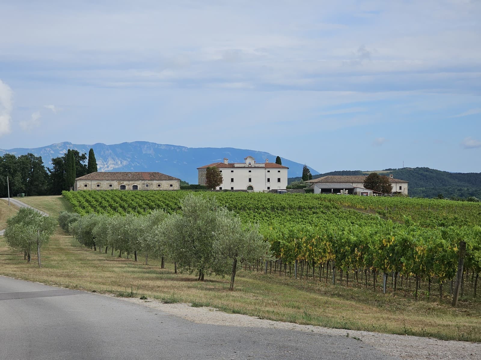
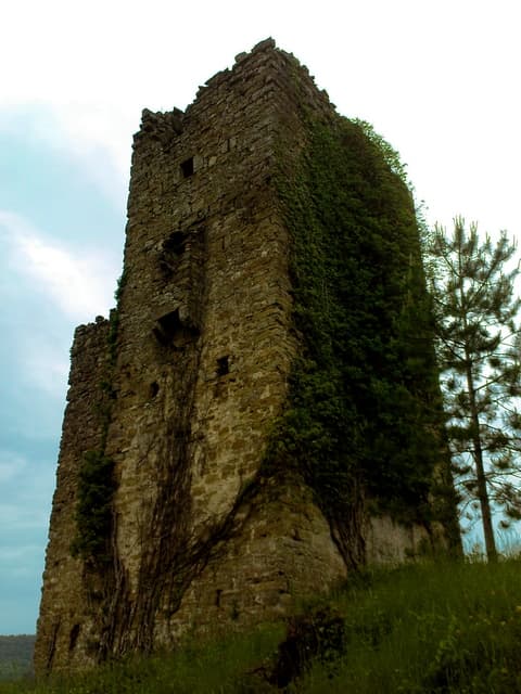
 Nature park
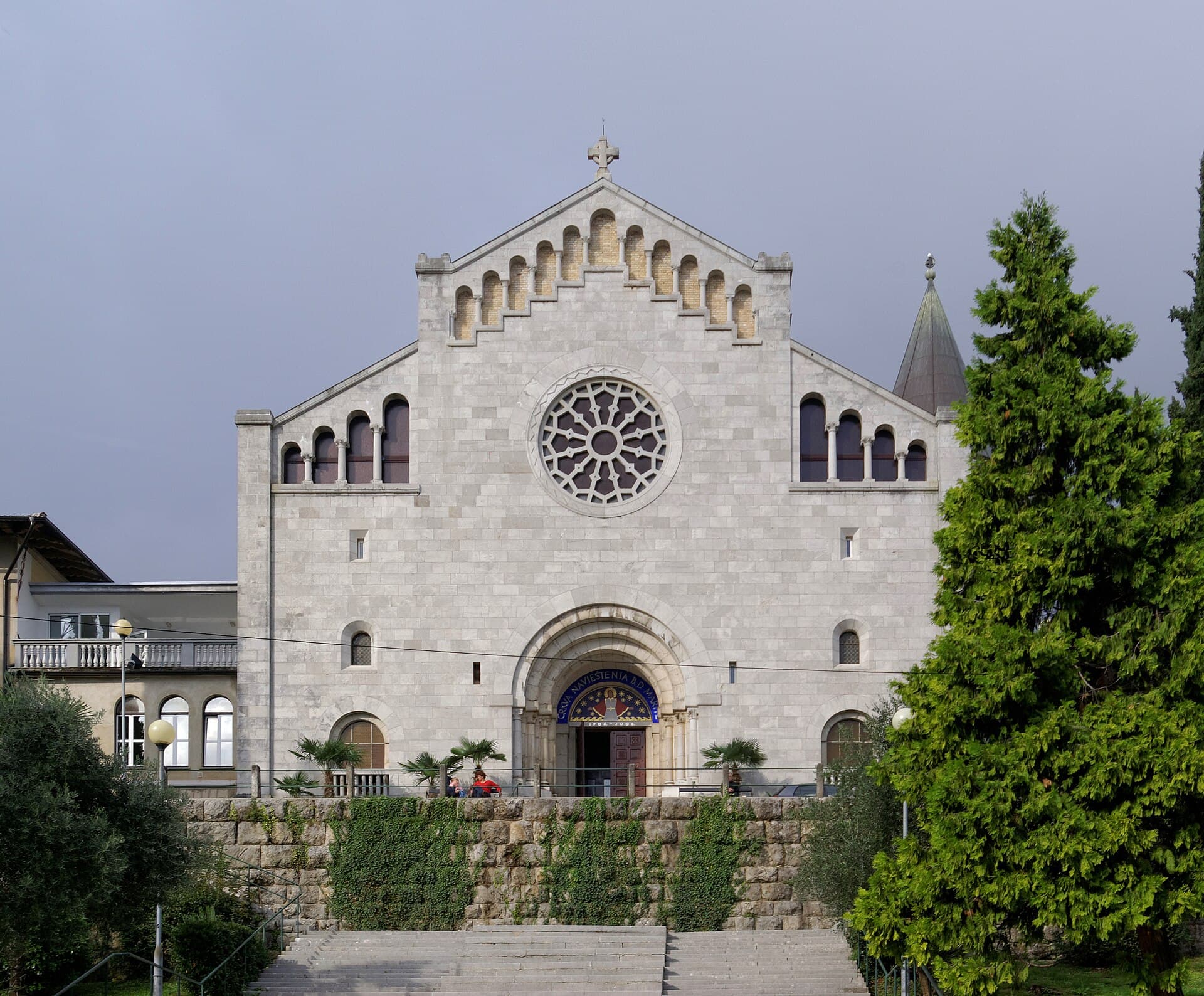
Church of the Annunciation of the Blessed Virgin Mary
Landmark · Opatija
church in Opatija, Croatia
12 km from Vranja
Stays nearby
- Holiday home
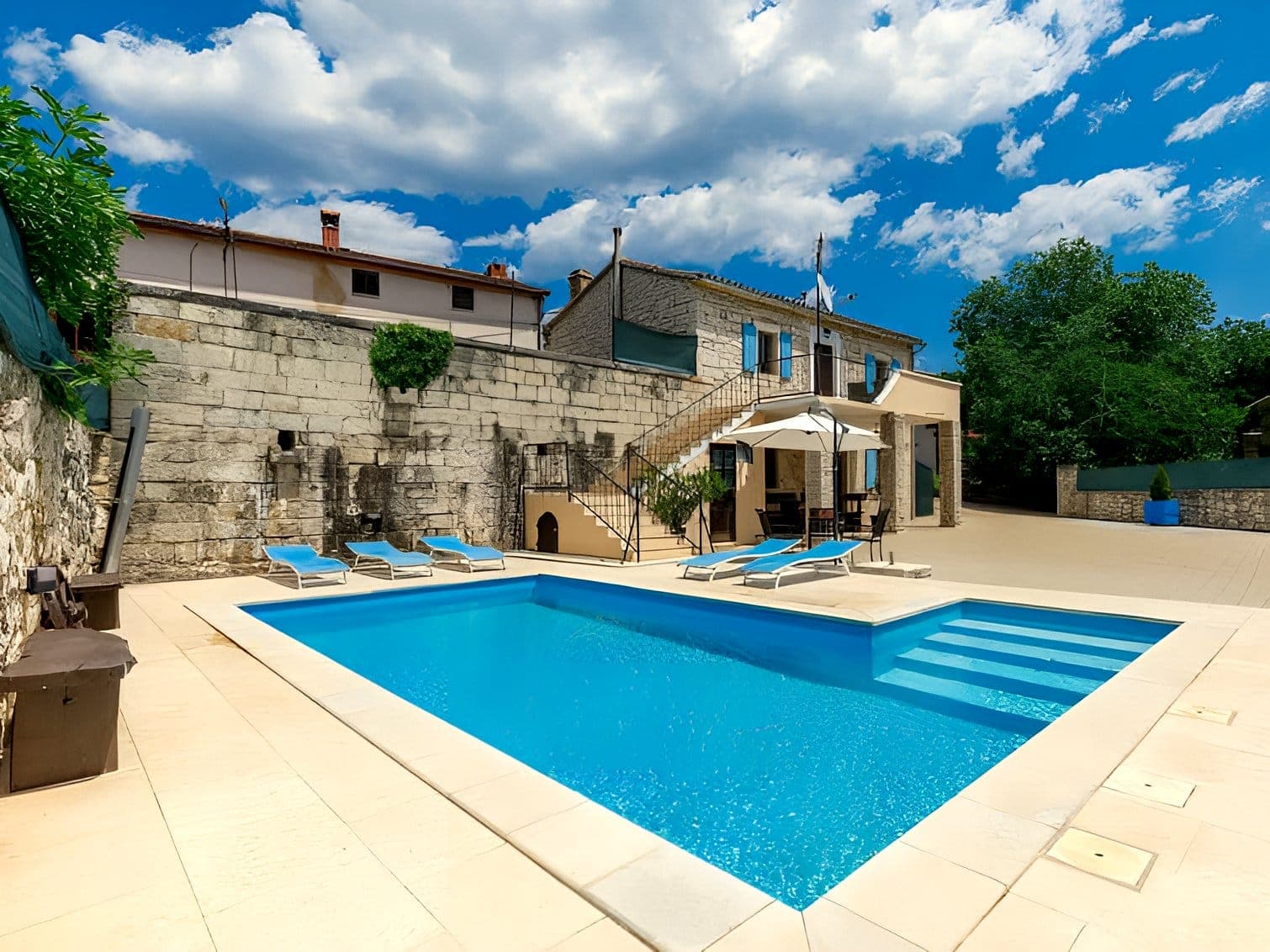 18 km from Vranja
Be the first to list here
Guests looking for this place only see stays nearby for now. No commission, and enquiries come straight to you.
List your accommodation
Beaches
Vranja has no seaside beach: the village lies on Učka’s inland western side, by the tunnel and Vela Draga canyon rather than on the coast. Vela Draga is not a bathing area either, but a protected geomorphological site with an interpretation trail, a viewpoint and a steeper continuation down towards the canyon floor. A swim therefore requires a separate trip through or around Učka towards the Kvarner shore. The nature park’s own visitor information places Mošćenička Draga and its beach below Učka’s eastern slopes, whereas Vranja stands on the Istrian approach. Around the village itself, sturdy footwear for Vela Draga’s rocky terrain is considerably more useful than beach equipment.
Things to do
Start at the car park on the old Učka–Vranja road, where the Vela draga educational trail begins. The two-kilometre route follows the canyon rim to a maintained viewpoint and normally takes one to one and a half hours. Limestone towers are visible from the viewpoint, while a more demanding continuation descends towards their base and the canyon floor. On the way back, use the interpretation panels to understand Učka’s formation; the trail opened in 2004 and has panels in four languages. View the climbing crags from the trail, especially the Great Tower associated with Emilio Comici’s 1931 ascent.
Tours and activities
AdAd · partner offers: Viator, GetYourGuideThe partner handles booking, payment and support. StayBravo may earn a commission on bookings made through these links.How we choose offersWe choose offers based on the page you are viewing: the partner destination for this place or the nearest one (with its distance), and on a sight page only offers that mention it. We show offers rated at least 4.3 with at least 10 reviews, without multi-day tours or pure transfers, ordered by rating adjusted for the number of reviews and then by the partner’s order. We do not use data about you, and the commission does not affect the order.GetYourGuide offers are selected and ordered by GetYourGuide based on the name of the nearest larger town or national park; we do not influence their selection and do not use data about you.Viator
Nearest destination: Central Croatia (20 km)
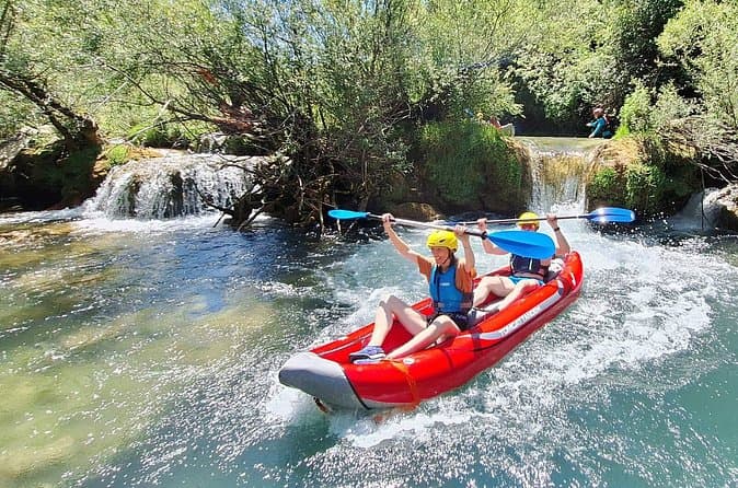
Mreznica Waterfalls Kayaking Adventure Near Plitvice Lakes (opens in a new tab)
Discover the hidden canyon of the Mreznica River, just 30 minutes from Plitvice Lakes. Unlike crowded tourist attractions, this kayaking adventure takes you through crystal-clear water, small…
Rated 5 out of 5 · 147 reviews· 4 h
Free cancellation
from €55
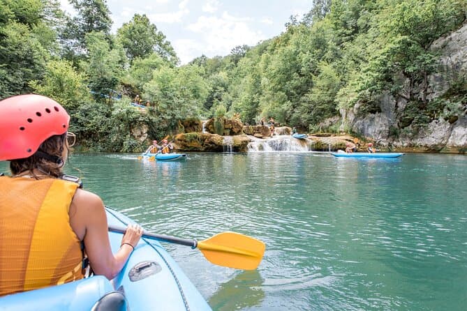
Kayaking at the Mreznica Canyon (opens in a new tab)
Get back to nature on a small-group Mrežnica Canyon kayaking tour (max 16 people vs standard 20+). Enjoy the upper canyon of Mreznica between Primislje and Trzic, the most beautiful part of the…
Rated 5 out of 5 · 184 reviews· 3 h
Free cancellation
from €50
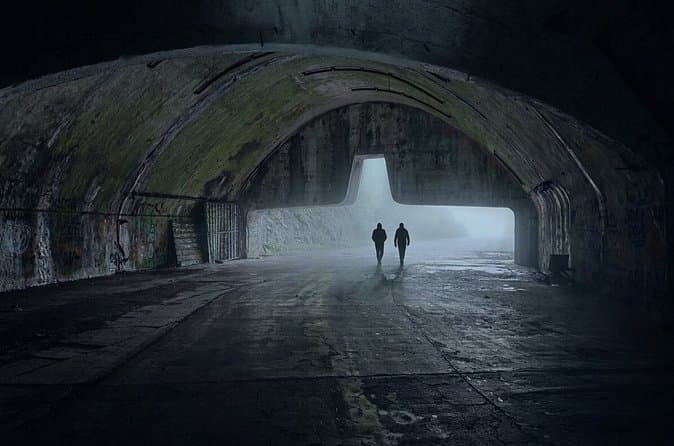
Zeljava Airbase: History and Adventure Tour/Plitvice (opens in a new tab)
Explore the abandoned military complex of Zeljava Airbase with a local guide. Discover its strategic role during the Cold War and its connection to the fall of Yugoslavia. Wander through massive…
Rated 5 out of 5 · 96 reviews· 2 h
Free cancellation
from €50
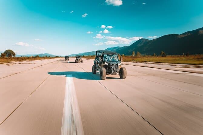
3,5 hours Guided Buggy Tour in Plitvice lakes (opens in a new tab)
If you like a combination of adrenaline and nature, then Inspiration Resort is the right place for you! We offer you an unforgettable adventure - guided tours on buggy vehicles in the surroundings…
Rated 5 out of 5 · 73 reviews· 3.5 h
Free cancellation
from €129
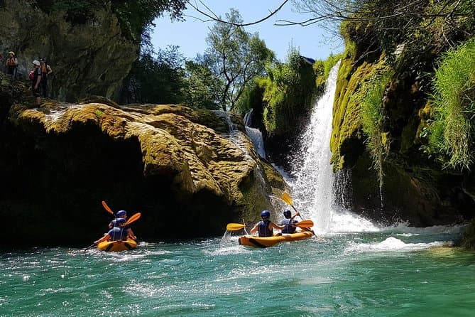
Kayaking Mrežnica river (opens in a new tab)
We’re passing through the most beautiful part of Mrežnica, length of 5 kilometers with abundance of magical places for swimming and recreation. You will pass in total 9 waterfalls and 3 rapids…
Rated 4.9 out of 5 · 171 reviews· 4 h
Free cancellation
from €65
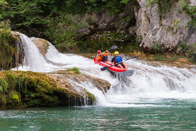
Kayaking in Mreznica Waterfalls near Slunj and Plitvice Lakes (opens in a new tab)
This is a unique opportunity to discover one of the most beautiful rivers in Croatia ho is hidden in the canyon and you can explore her only by kayaking. You'll be able to make amazing memories of…
Rated 5 out of 5 · 56 reviews· 3 h
Free cancellation
from €50
GetYourGuide · Opatija
We show GetYourGuide offers once you allow their cookies.
Practical information
Getting there and around
From central Istria, Vranja is reached on state road D500, linking Ćepić and Vranja. The Vranja North and Vranja South interchanges form part of the Istrian Y motorway system operated by Bina-Istra. Travellers continuing to Kvarner use the Učka Tunnel, whose toll plaza includes an ENC sales point. For Vela draga, turn onto the old Učka–Vranja road: the official start of the two-kilometre educational trail is the designated car park there. The path continues to the viewpoint above the gorge, so no further vehicle travel is needed for the visit itself.
Frequently asked questions
How long does the Vela Draga walk take?
The educational trail is two kilometres long, and Učka Nature Park gives an approximate walking time of 60 to 90 minutes.
Where does the Vela Draga trail begin?
The trail begins at the car park on the old Učka–Vranja road.
How long does the Vela draga trail take?
The trail is 2 kilometres long and usually takes one to one and a half hours.
Where does the Vela draga walk start?
It starts at the car park on the old Učka–Vranja road.
Since when has Vela draga been protected?
The canyon landscape has been protected since 1963 and has been a geomorphological monument of nature since 1998.
Nearby
Vranja
Open in OpenStreetMap(opens in a new tab)straight-line distance
Related guides

Novigrad
Novigrad-Cittanova developed on Istria’s north-western coast near the mouth of the Mirna, in a maritime setting that shaped centuries of fishing and trade. The historic centre still…
Read the guide
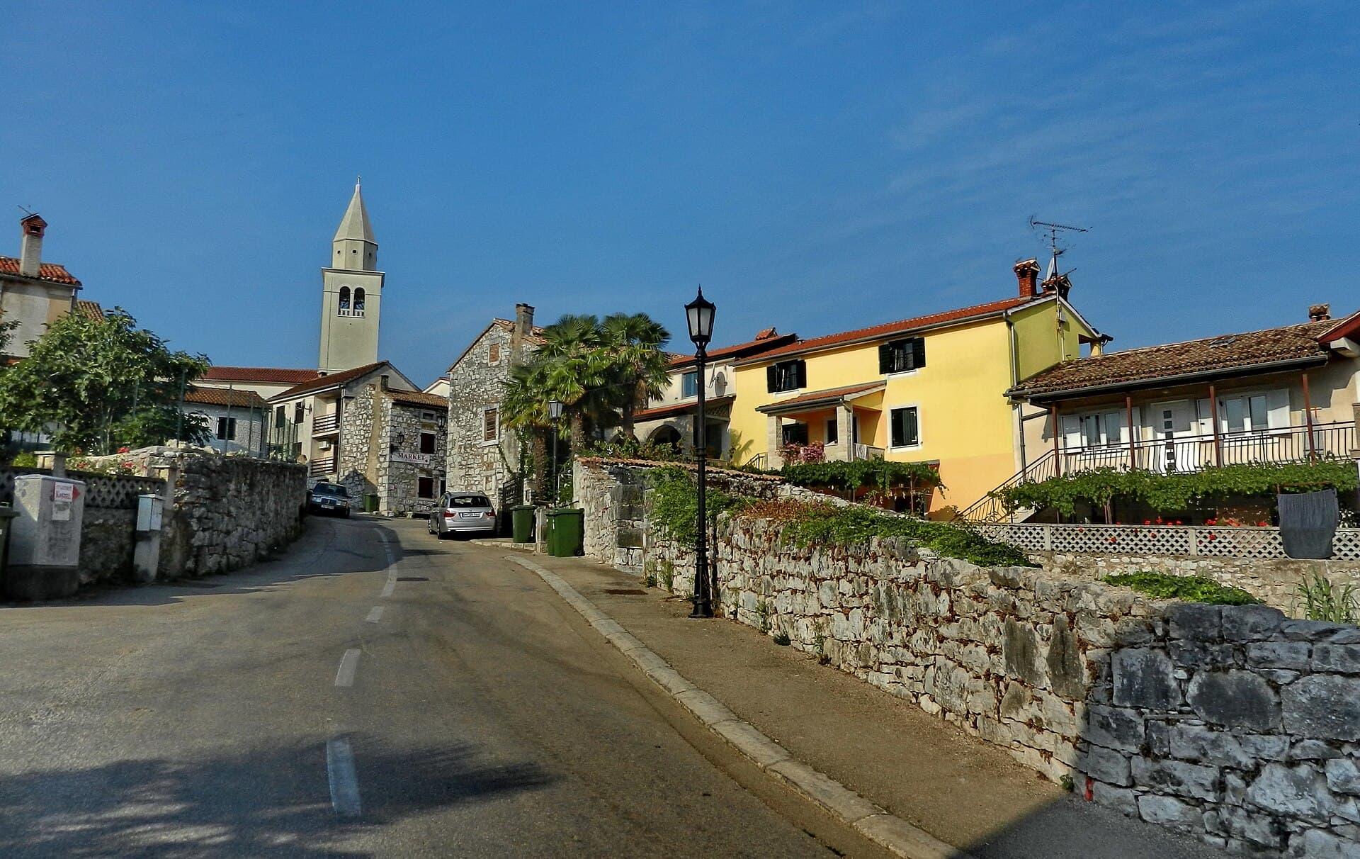
Funtana
Funtana sits on Istria’s west coast along the Poreč–Vrsar road, while its shoreline extends between Zelena Laguna and Valkanela. The local tourist board links the settlement with a long…
Read the guide
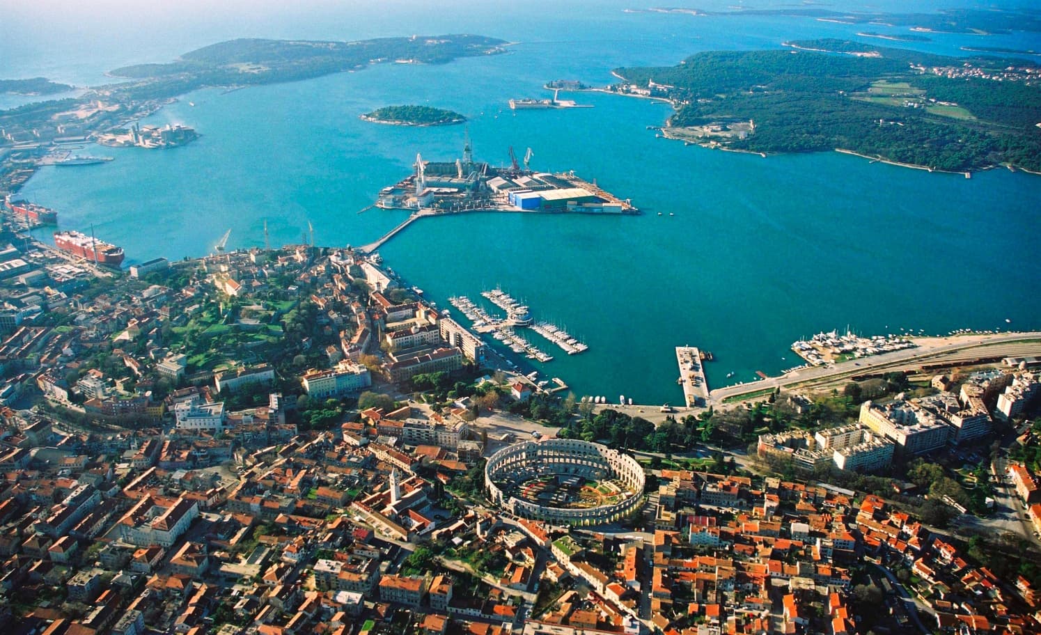
Pula
Central Pula offers two connected but different sightseeing strands. One follows public spaces and visible Roman monuments: the Arena, gates, Forum and temple. The other explores museum…
Read the guide
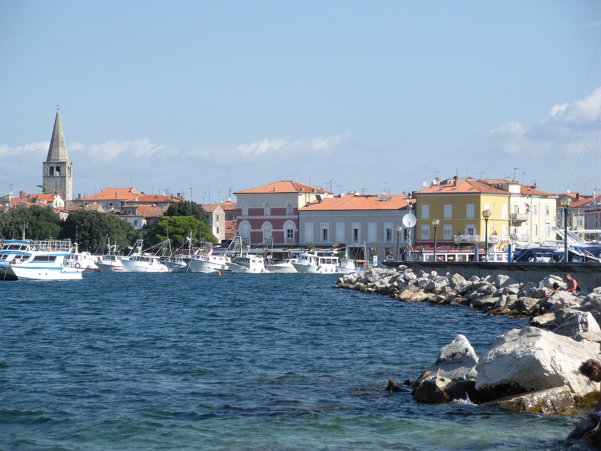
Poreč
Organise the stay around the distinction between the centre and the wider holiday area. In the centre, a cultural visit can form part of a walk, while beaches, excursions and additional…
Read the guide
Know Vranja? Correct us
Tell us in your own words what is not accurate. We check right away.Do not enter personal data. Corrections are checked by the StayBravo AI assistant; changes to the description are approved by an editor. Use the form instead
Do you know Vranja?
Help the guests who come after you.
Help us complete
Nothing is published without an editor’s review.Report illegal content
Photo credits: Vranja — The original uploader was Zeljko at Croatian Wikipedia. (CC BY-SA 3.0) · Boljunsko Polje — SIG SG 510 (CC0) · Boljun — Dguendel (CC BY 3.0) · Paz — (GRAD) (CC BY-SA 3.0) · Borut — Cborna (CC BY-SA 4.0) · Ročko Polje — Ante Perkovic (CC BY-SA 3.0) · Šušnjevica — Iosif Popoviciu (Public domain) · Hum — Anton.ash (CC BY-SA 4.0) · Belaj Castle — MSmateo (CC BY-SA 4.0) · Posert Castle — Dinko Gubic (CC BY-SA 3.0) · Nature park Učka — Modzzak (CC BY-SA 3.0) · Church of the Annunciation of the Blessed Virgin Mary — Berthold Werner (CC BY-SA 3.0) · Holiday House Šterna — Vjekoslav Simon (courtesy of the property owner) · Novigrad — Sl-Ziga (Public domain) · Funtana — Tanya Dedyukhina (CC BY 3.0) · Pula — Orlovic (CC BY-SA 3.0) · Poreč — Hobe / Holger Behr (Public domain)