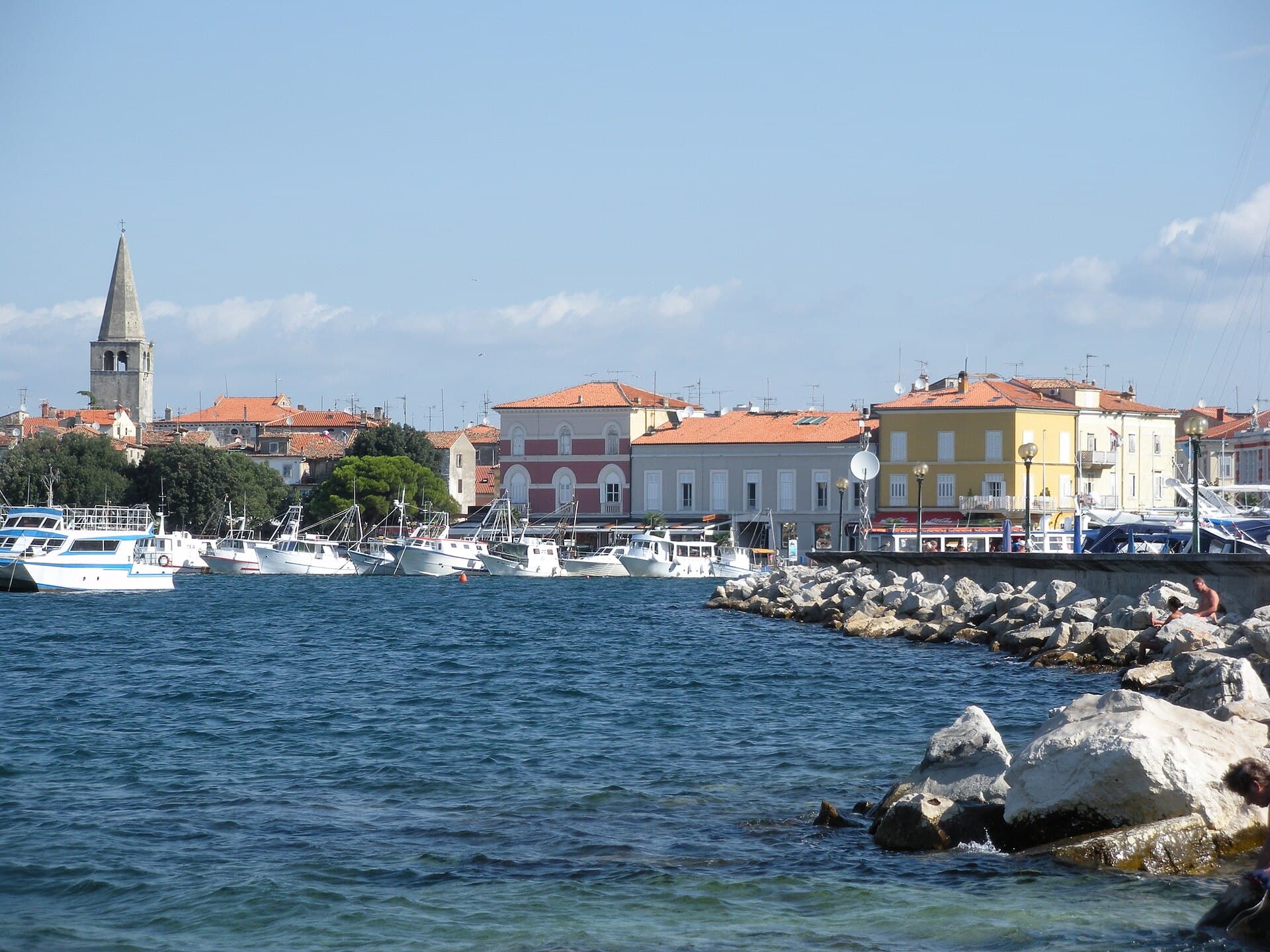
Lanišće
About this place
Lanišće is a tiny municipal centre in Istria’s mountainous interior, nine kilometres north of Lupoglav beneath the northern slopes of Ćićarija. The village stands at 542 metres above sea level amid beech woods, karst hollows and the ridges of so-called White Istria; it has no coastline or seaside beaches. Its principal landmark is the 1927 parish church of Saint Cancian, paired with a much older bell tower dated 1607, while the cemetery contains the 18th-century Church of Saint Mary. Lanišće first appears in records in 1358 as Harland, followed by the form Lanischia in 1394. A visit today centres on hiking, cycling and the sparsely inhabited Ćićarija landscape. The massif’s southern ridge includes Žbevnica, Brajkov Vrh, Orljak and Veliki Planik, with marked mountain paths beginning in surrounding villages. Nearby Račja Vas is both the start and finish of the eight-kilometre Marećica family trail. Lanišće is therefore a highland base for exploring Ćićarija, not a coastal resort.
Lanišće belongs to Ćićarija, a rugged karst plateau approximately 45 kilometres long and averaging 700–800 metres in elevation. The village itself sits lower, at 542 metres, beside the road climbing from Lupoglav into northern Istria’s small mountain settlements. Limestone ridges, pastures, beech woods, sinkholes and seasonal ponds create a landscape far removed from coastal Istria. Lanišće forms the municipality’s historic centre, and Saint Cancian’s Church combines a 1927 building with a bell tower dating from 1607. The recorded names Harland in 1358 and Lanischia in 1394 reflect the long frontier history of Ćićarija, a territory shaped for centuries by the shifting relationship between Austrian and Venetian possessions.
Stays nearby
 Apartment
Apartmeni Klenovica.eu
Klenovica
67 km from Lanišće
up to 4 guests · 1 bedroom
The host confirms the exact price for your dates and availability.
Practical information
Getting there and around
Lanišće lies nine kilometres north of Lupoglav and is approached on county road ŽC5014. The same road continues through Lanišće towards Dane, while at Lupoglav it connects with the D44, the principal road between the Pazin and Buzet sides of inland Istria. Another important approach to Ćićarija runs from Buzet on ŽC5011 through Brest and Dane. For hiking, drivers continue towards Račja Vas, Rašpor, Trstenik, Brest or Brgudac according to the chosen trailhead. The scattered villages and mountain starting points make private transport particularly useful for linking Lanišće with the Marećica circuit, Žbevnica, Orljak and Korita.
Frequently asked questions
Does Lanišće have a beach?
Lanišće has no coastline; it stands in inland Istria at 542 metres above sea level beneath Ćićarija.
Which easy trail is near Lanišće?
The circular Marećica trail starts and finishes in Račja Vas, covers about eight kilometres and is designed for families with children and older walkers.
How far is Lanišće from Lupoglav?
Lanišće is nine kilometres north of Lupoglav, reached via county road ŽC5014.
Nearby

Ročko Polje
Village · Istria

Related guides

Novigrad
Novigrad-Cittanova developed on Istria’s north-western coast near the mouth of the Mirna, in a maritime setting that shaped centuries of fishing and trade. The historic centre still…
Read the guide
Help improve this page
Spot something missing or wrong? Suggest a correction, add your photo or report a problem. Editors review every suggestion before it is published.
Photo credits
- Lanišće, Vele Mune — Ante Perkovic · CC BY 3.0 · Wikimedia Commons
- Ročko Polje, Roč — Ante Perkovic · CC BY-SA 3.0 · Wikimedia Commons
- Apartmeni Klenovica.eu — Apartmani Klenovica.eu · courtesy of the property owner
- Novigrad — Sl-Ziga · Public domain · Wikimedia Commons
- Pula