
Sveti Petar na Moru
About this place
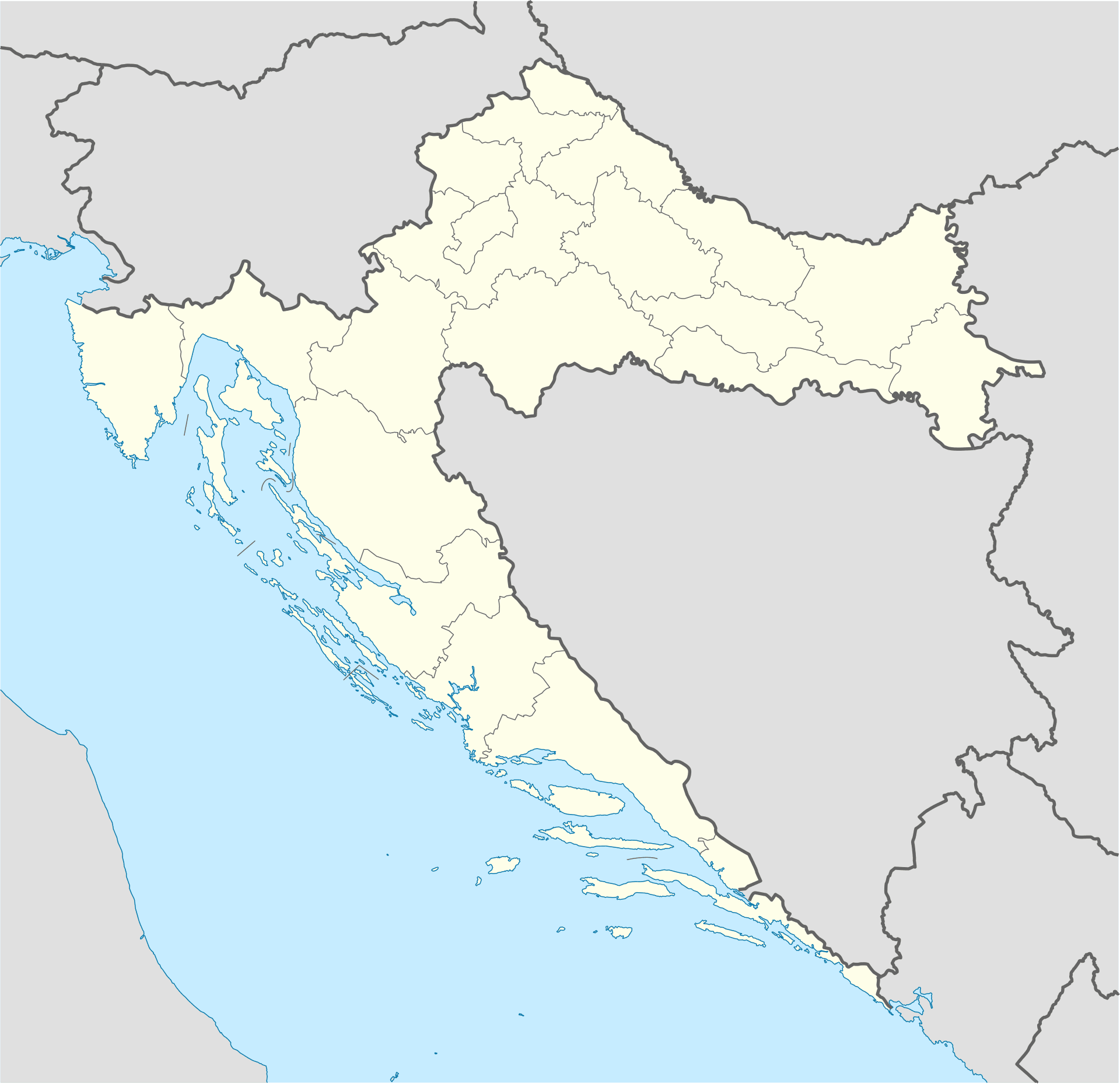
Sveti Petar na Moru developed along the Adriatic Highway between Zadar and Biograd, with houses descending towards a succession of small swimming spots. Its present name comes from the 18th-century Church of St Peter the Apostle; until 1994 the settlement was called Krmčina, while the first recorded residents and estates of the Zadar-based Civarelli family date from the 16th century. Remains of medieval agricultural buildings once belonging to Rogovo Abbey survive in the centre. Below Tustica hill lie Buta Cave and the Iron Age hillforts of Pećinska Gomila and Vukašinov Krug. Traces of the Roman Biba–Jader aqueduct connect this modest holiday strip with the ancient infrastructure of the Zadar area. The shore alternates between short pebble and rocky sections, making the swimming place nearest one’s apartment or campsite the practical choice. Sveti Petar has neither Zadar’s monumental centre nor Biograd’s long urban waterfront; its identity rests on the church, the coastal road, family-run accommodation and immediate access to the sea. Turanj, Sveti Filip i Jakov and Biograd provide easy nearby outings.
Sveti Petar na Moru extends linearly between the shoreline and the Adriatic Highway on the Sveti Filip i Jakov Riviera. It takes its name from the 18th-century Church of St Peter the Apostle and officially retained the name Krmčina until 1994. Written records of the settlement begin in the 16th century, when the first residents and estates of Zadar’s Civarelli family were documented. Alongside medieval agricultural remains belonging to Rogovo Abbey, the local historical landscape includes Buta Cave, hillforts below Tustica and surviving traces of the Roman Biba–Jader aqueduct.
Things to see

Ćokovac monastery
Landmark · Tkon
The Benedictine Monastery of Saints Cosmas and Damian on Ćokovac hill near Tkon is a centuries-old Glagolitic centre and Croatia’s only active male Benedictine monastery.
9 km from Sveti Petar na Moru
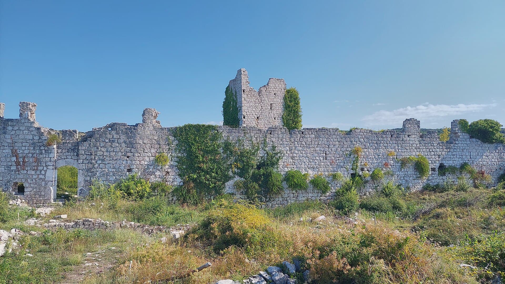
Old Town of Vrana
Landmark · Vrana
castle ruin in the municipality of Pakoštane, Zadar County, Croatia
15 km from Sveti Petar na Moru
Stays nearby
- Apartment
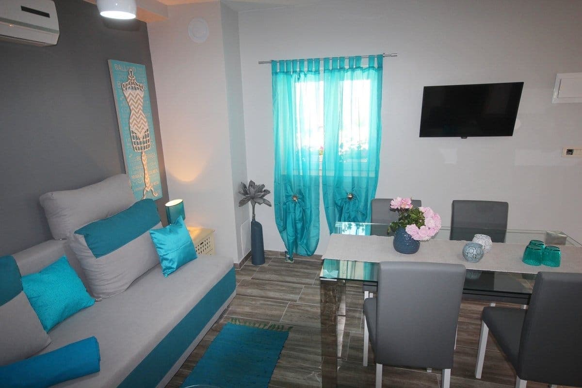 30 km from Sveti Petar na Moru
Be the first to list here
Guests looking for this place only see stays nearby for now. No commission, and enquiries come straight to you.
List your accommodation
Beaches
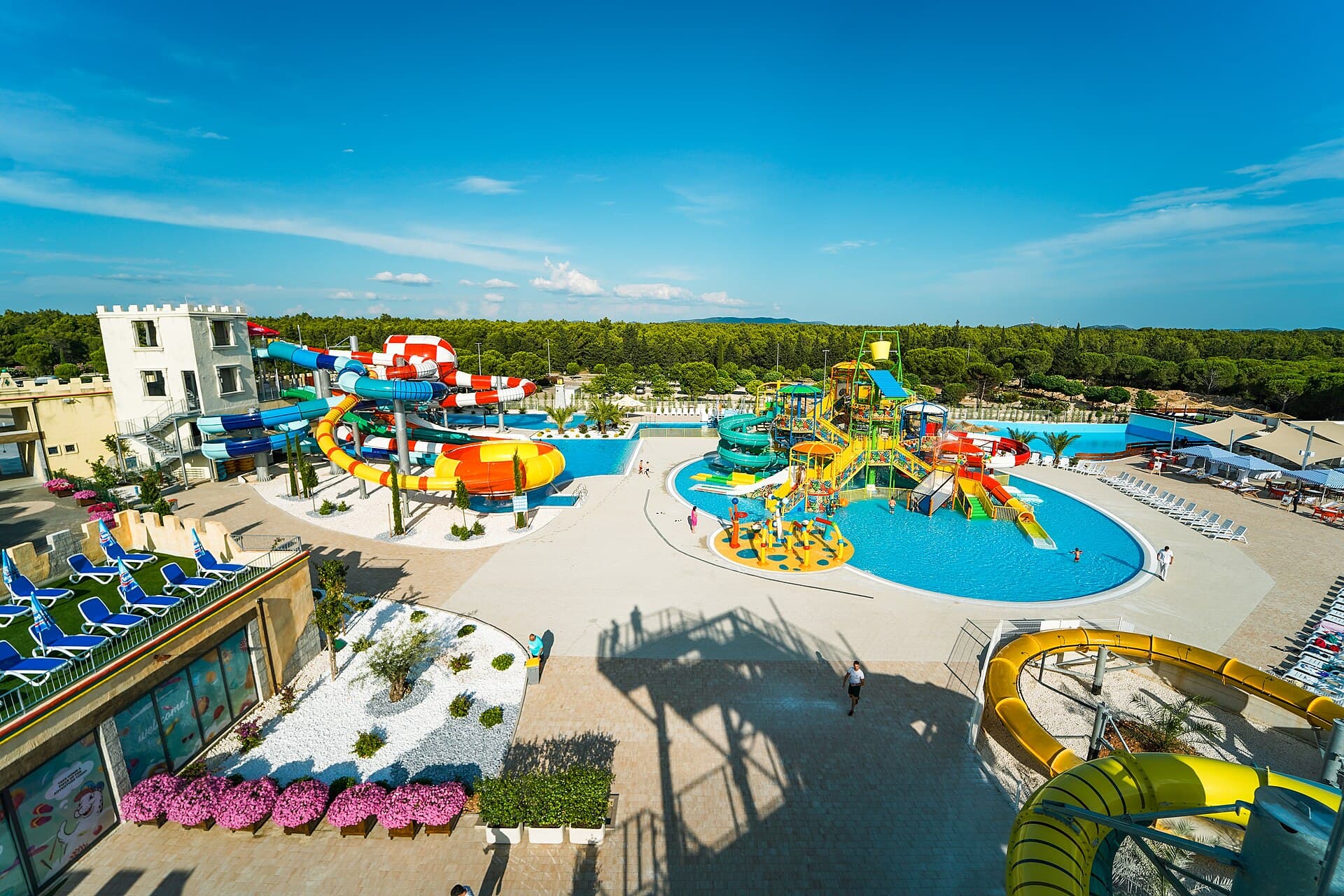
Sveti Petar na Moru has a string of small bathing areas squeezed between the houses and the sea, with pine trees shading parts of the waterfront. The municipal plan for its tourism zone covers approximately 435 metres of coast and provides for an arranged beach within the adjoining sports and recreation area. The municipality’s 2024 maritime-domain plan mapped six sites for parasols and loungers, two for an aquapark or other water activities, and one for jet-ski rental in Sveti Petar. As the bathing spots are spread along the village rather than concentrated in one bay, swimmers seeking a quieter entry can move away from the marked equipment and motorised-activity zones.
Bathing water quality nearby
- Obalni Potez · 843 mnot classified
Source: European Environment Agency (EEA); data from Croatian authorities. · bathing water profile
Things to do
Begin at the Church of St Peter the Apostle, the building that gave former Krmčina its present name. In the village centre, look for the remains of agricultural structures that once belonged to the Benedictine abbey at Rogovo. To explore the settlement’s archaeological layer, continue towards the foot of Tustica, where Buta Cave and the Iron Age hillforts of Pećinska Gomila and Vukašinov Krug are recorded. Reserve the afternoon for swimming along the village shore, then make an evening trip to Turanj or Sveti Filip i Jakov, the other two coastal settlements promoted as part of the same riviera.
Tours and activities
AdAd · partner offers: Viator, GetYourGuideThe partner handles booking, payment and support. StayBravo may earn a commission on bookings made through these links.How we choose offersWe choose offers based on the page you are viewing: the partner destination for this place or the nearest one (with its distance), and on a sight page only offers that mention it. We show offers rated at least 4.3 with at least 10 reviews, without multi-day tours or pure transfers, ordered by rating adjusted for the number of reviews and then by the partner’s order. We do not use data about you, and the commission does not affect the order.GetYourGuide offers are selected and ordered by GetYourGuide based on the name of the nearest larger town or national park; we do not influence their selection and do not use data about you.Viator
Nearest destination: Zadar (18 km)
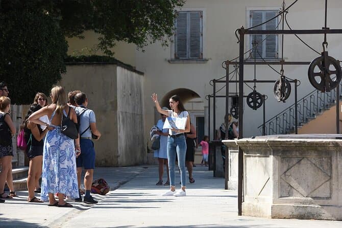
Zadar Highlights: Old Town, Sea Organ & Local Tastings (opens in a new tab)
A 2-hour small-group walk through Zadar's Old Town covering the city's top landmarks, the world-unique Sea Organ, and a tasting of local maraschino liqueur and cheese with a licensed local guide.
Rated 5 out of 5 · 478 reviews· 2 h
Free cancellation
from €20

Zadar: Luxury Island Boat Tour, Snorkeling & Unlimited Wine (opens in a new tab)
Embark on an unforgettable adventure and explore the wonderful islands that adorn our Adriatic Sea. You have two types of tour, 4 hour with 3 stops and 3 hour with 2 stops. Explore the crystal clear…
Rated 5 out of 5 · 1,393 reviews· 4 h
Free cancellation
from €47

From Zadar Plitvice Lakes Guided Day Tour with Tickets (opens in a new tab)
Discover the UNESCO-listed Plitvice Lakes with a passionate local guide and enjoy one of the easiest ways to visit Croatia’s most iconic national park from Zadar. Travel through the scenic Croatian…
Rated 4.9 out of 5 · 1,689 reviews· 10 h
Free cancellation
from €45

Zadar: Romantic Luxury Sunset Boat Tour with Aperol Spritz (opens in a new tab)
We will start our tour from the oldest harbor in Zadar, Foša. After that we will cruise by the Zadar seafront and famous Sea Organs where thousands of people come every night to see world famous…
Rated 5 out of 5 · 330 reviews· 1.3 h
Free cancellation
from €25

Zadar: Half Day Island Hopping Tour & Old Town Panoramic Cruise (opens in a new tab)
Step off the beaten path and discover the authentic soul of Dalmatia. On the islands, time moves slower and local traditions are still alive. Swim, snorkel, sunbathe, stroll through charming…
Rated 4.9 out of 5 · 418 reviews· 4 h
Free cancellation
from €19
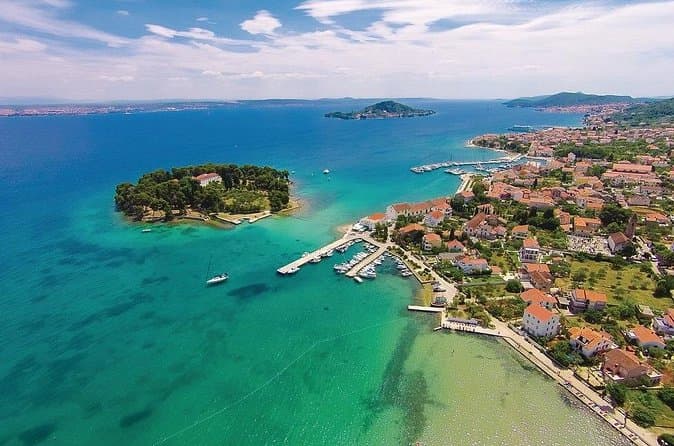
Private Sailing Tours in Zadar Archipelago (opens in a new tab)
We are a family business with a vision of presenting the beautiful nature and history of Zadar and Island Ugljan, Croatia. Sail away with us and absorb the sea breezes and panoramic views over Zadar…
Rated 5 out of 5 · 135 reviews· 4 h
Free cancellation
from €450
GetYourGuide · Biograd na Moru
We show GetYourGuide offers once you allow their cookies.
Practical information
Getting there and around
Sveti Petar na Moru sits directly on the D8 state road, along the coastal corridor linking Zadar, Sukošan and Biograd. This position makes arrival by car straightforward, although travellers should note which side of the highway contains their accommodation and preferred swimming access. Roadside stops serve buses using the Zadar–Biograd corridor, with the exact departure selected for the intended travel date. Turanj and Sveti Filip i Jakov lie farther along the same coastal direction towards Biograd, allowing all three settlements to be linked without detouring into Zadar’s hinterland.
Frequently asked questions
What was Sveti Petar na Moru called before 1994?
The settlement was called Krmčina until 1994; its present name refers to the 18th-century Church of St Peter the Apostle.
Which archaeological sites lie below Tustica?
Below Tustica are Buta Cave and two Iron Age hillforts, Pećinska Gomila and Vukašinov Krug.
Are there remains of a Roman aqueduct in the village?
Traces of the Roman Biba–Jader aqueduct, which supplied ancient Zadar, remain visible in the Sveti Petar area.
Nearby
Sveti Petar na Moru
Open in OpenStreetMap(opens in a new tab)straight-line distance
Related guides
Novalja
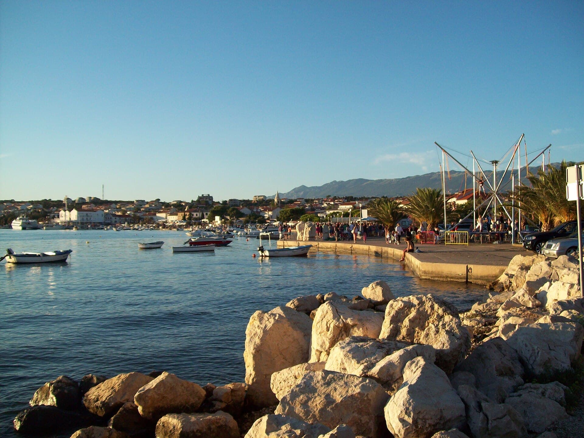
Novalja curves around a bay on Pag’s western shore, with the waterfront, Trg Bazilike and streets around Mala crikva forming the centre. Landing places and restaurants line the water, while…
Read the guide
Nin
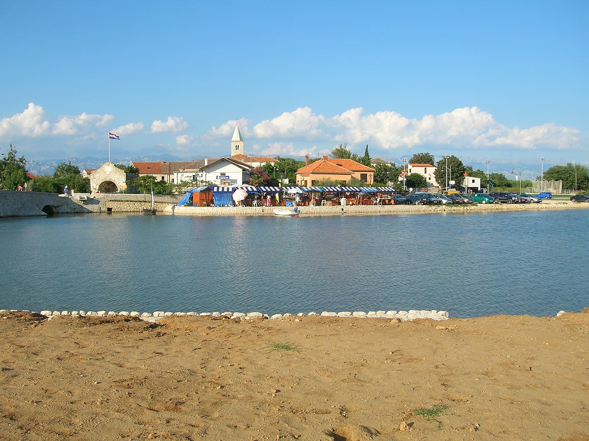
Nin’s historic centre occupies a low islet within a lagoon, connected to the mainland by bridges. Crossing into the centre creates a different first impression from arriving in nearby…
Read the guide
Pakoštane
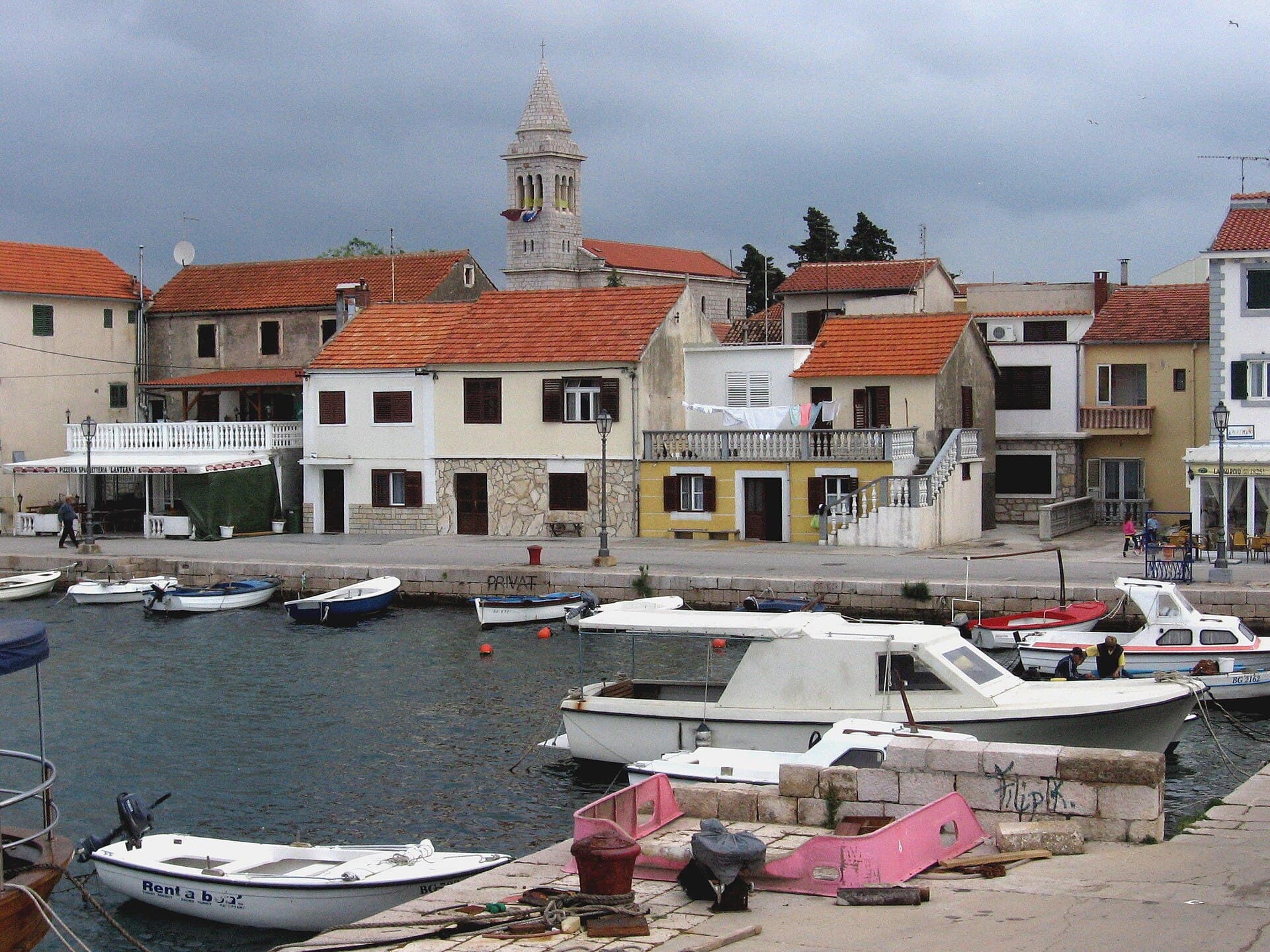
Pakoštane occupies a narrow strip between the Adriatic and Lake Vrana, allowing visitors to move from a Dalmatian waterfront to the reeds of an ornithological reserve within minutes. The…
Read the guide
Pag
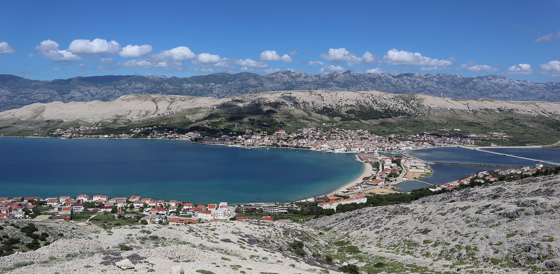
Pag is a planned stone town whose orderly street grid converges on Petar Krešimir IV Square, the Collegiate Church of the Assumption and the Rector’s Palace. The settlement moved to its…
Read the guide
Know Sveti Petar na Moru? Correct us
Tell us in your own words what is not accurate. We check right away.Do not enter personal data. Corrections are checked by the StayBravo AI assistant; changes to the description are approved by an editor. Use the form instead
Do you know Sveti Petar na Moru?
Help the guests who come after you.
Help us complete
Nothing is published without an editor’s review.Report illegal content
Photo credits: Sveti Petar na Moru, Debeljak, Sukošan — ANDREJ NEUHERZ (CC BY-SA 3.0) · Donje Raštane — Šime Grginović (CC BY-SA 4.0) · Barotul — Kat (CC0) · Turanj — Bostjan Vodopivc (CC BY 3.0) · Glavica, Sukošan — Znl.nogomet (Public domain) · Mrljane — Console007 (CC BY-SA 3.0) · Babac Lighthouse — NordNordWest (CC BY-SA 3.0) · Ćokovac monastery — The original uploader was Maestralni at Croatian Wikipedia. (CC BY-SA 3.0) · Dalmaland — Turizam2025 (CC BY-SA 4.0) · Old Town of Vrana — Harald Hetzner (CC0) · Apartmani Rustica — Zdenko Dusevic (courtesy of the property owner) · Novalja — JoeTimBlackMax (CC BY-SA 3.0) · Nin — Amphisbène (CC BY 2.5) · Pakoštane — Roman Klementschitz, Wien (CC BY-SA 3.0) · Pag — Palauenc05 (CC BY-SA 4.0)