
Gornji Humac
About this place
Gornji Humac stands at roughly 500 metres above sea level in Brač’s interior and is described as the island’s highest settlement. Pučišća is about ten kilometres away, while the road south descends towards Bol. Stone houses, narrow lanes and a former farming landscape define the village, but its heritage extends beyond the Baroque-featured parish church of St Nicholas. The church preserves a triptych associated with Juraj Dalmatinac and a stone relief triptych from the circle of Niccolò di Giovanni Fiorentino. Official planning records also identify the churches of St Michael and Saints Cosmas and Damian, the prehistoric hillforts of Malo Gračišće, Brkata and Hum, and Kaštel Vusio. Gornji Humac has no coastline of its own, yet its junction makes Bol and Zlatni rat readily accessible. Brač Airport lies along the road towards Bol; the airport’s directions specify turning there from Gornji Humac and following another sign after two kilometres. Buses connect the village with Supetar, Pražnica, Pučišća and eastern Brač, while the 2026 Split–Supetar ferry crossing takes about 50 minutes.
Gornji Humac belongs to the Municipality of Pučišća and occupies Brač’s hilly interior, among settlements historically established away from the coast for safety. It was first recorded in 1250 as Hlmčane, a name associated with people living on Hum. Its pastoral and farming identity still fits the open plateau and the long traditions of sheep keeping, beekeeping and timber work. Nearby are the medieval sites of Dubravica, Gradac, Mošuje, Pothume and Straževnik, making the village more than a junction for Bol: it is a surviving part of eastern Brač’s older settlement landscape.
Things to see


Crkva sv. Klementa u Pražnicama
Landmark · Gornji Humac
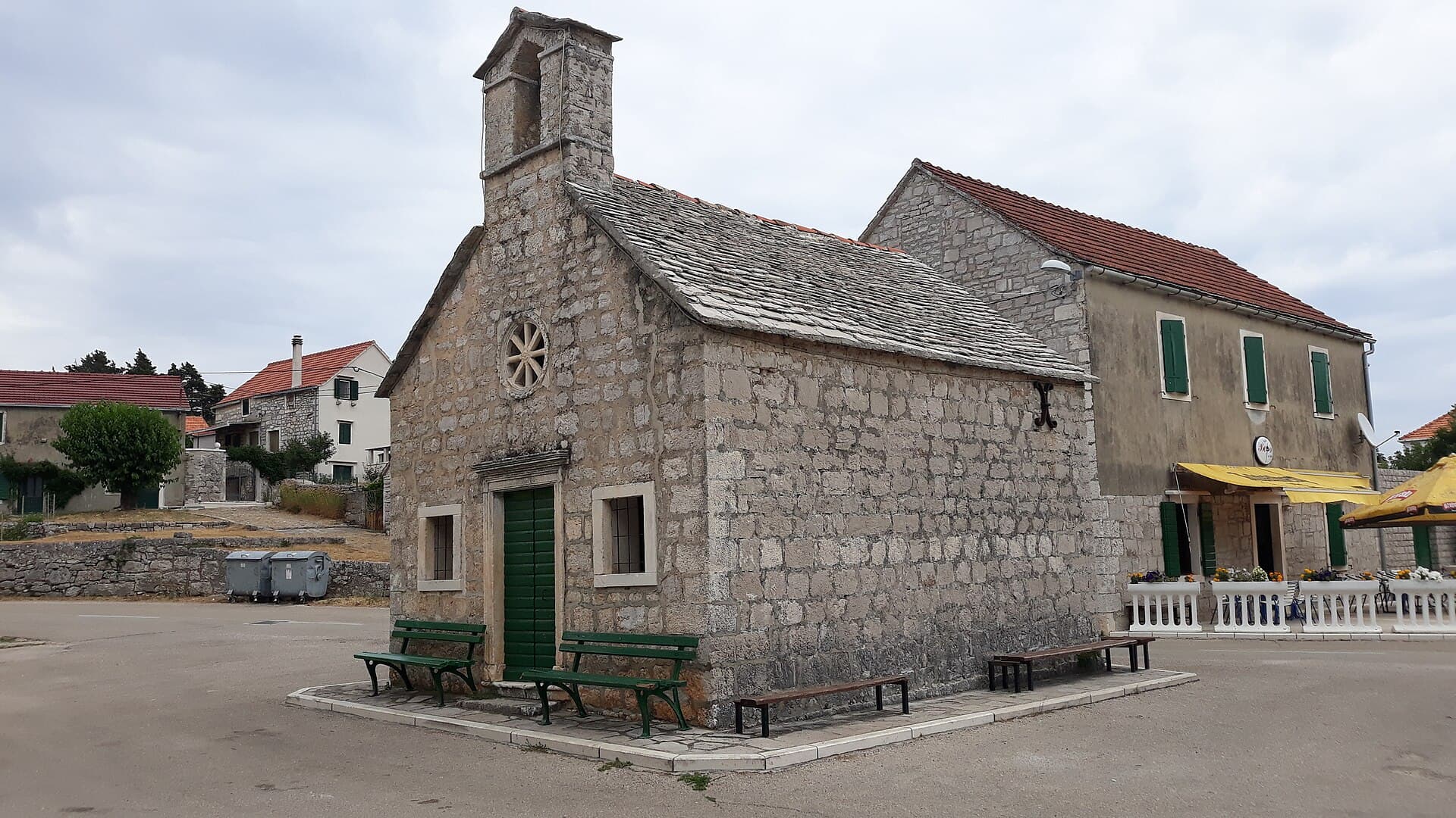
All Saints Church in Pražnica
Landmark · Pražnica
The Church of All Saints is a protected church building in the centre of Pražnica on the island of Brač.
3 km from Gornji Humac
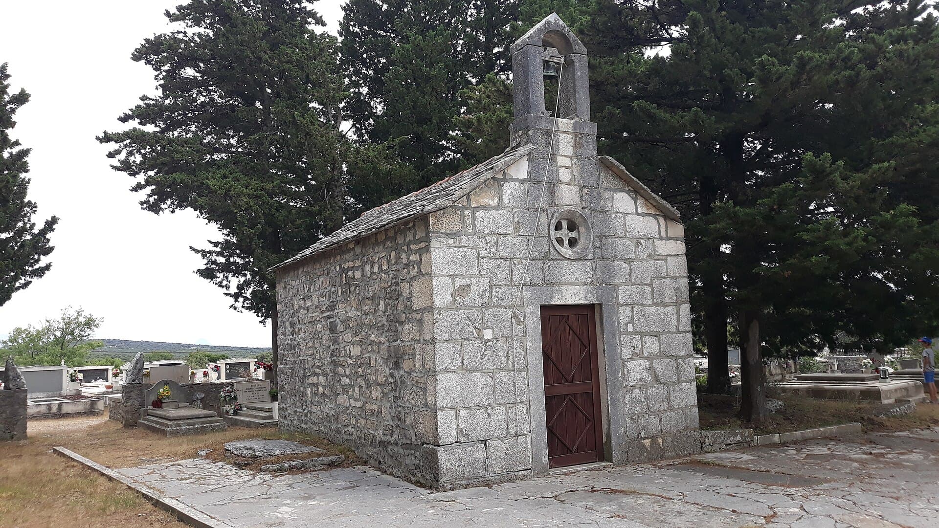
Church of St. Cipriano, Pražnice
Landmark · Pražnica
The Church of St Cyprian is Pražnica’s cemetery church, known for a Renaissance stone relief dated 1467.
3 km from Gornji Humac
Stays further afield
- Apartment
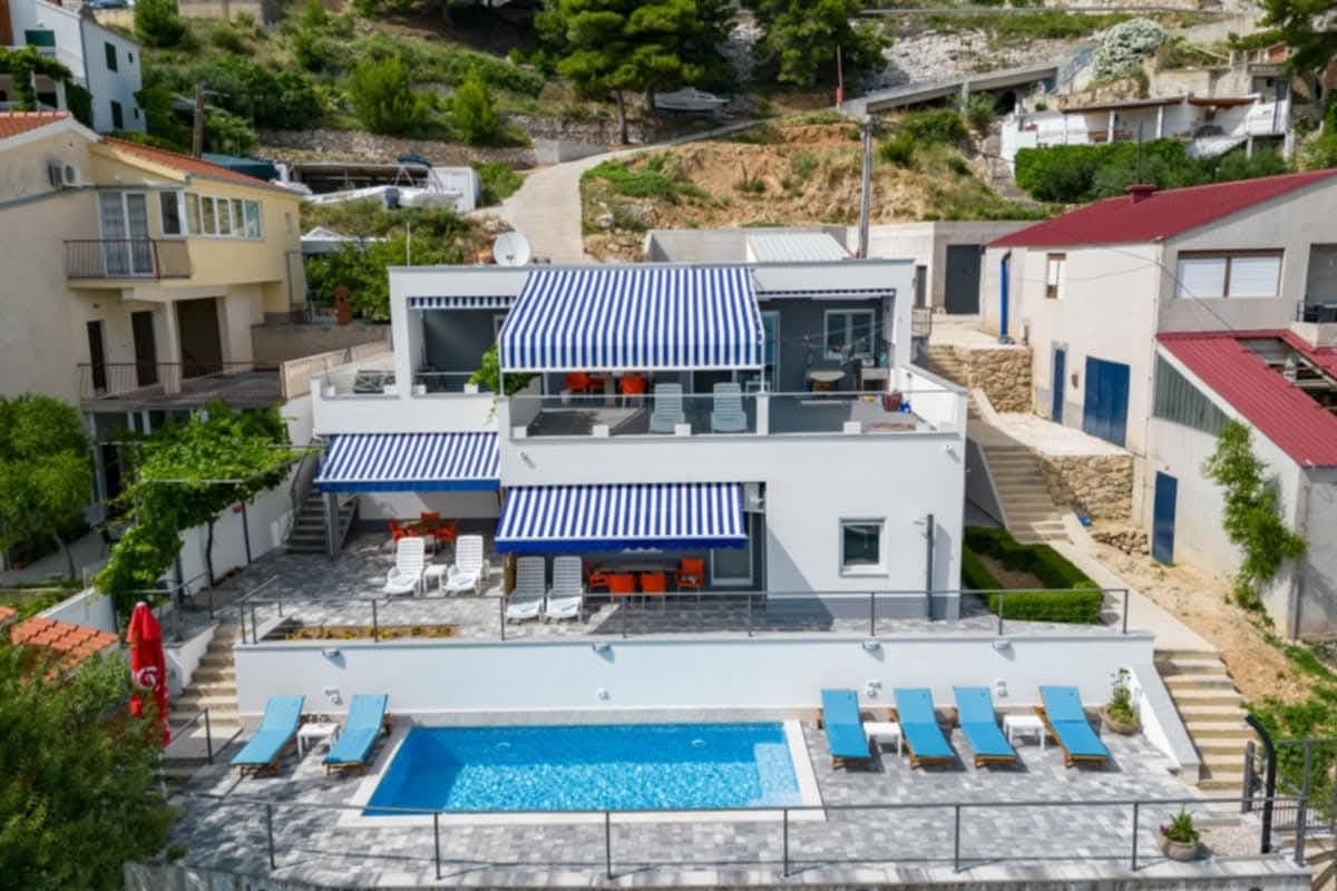 13 km from Gornji Humac
- Apartment
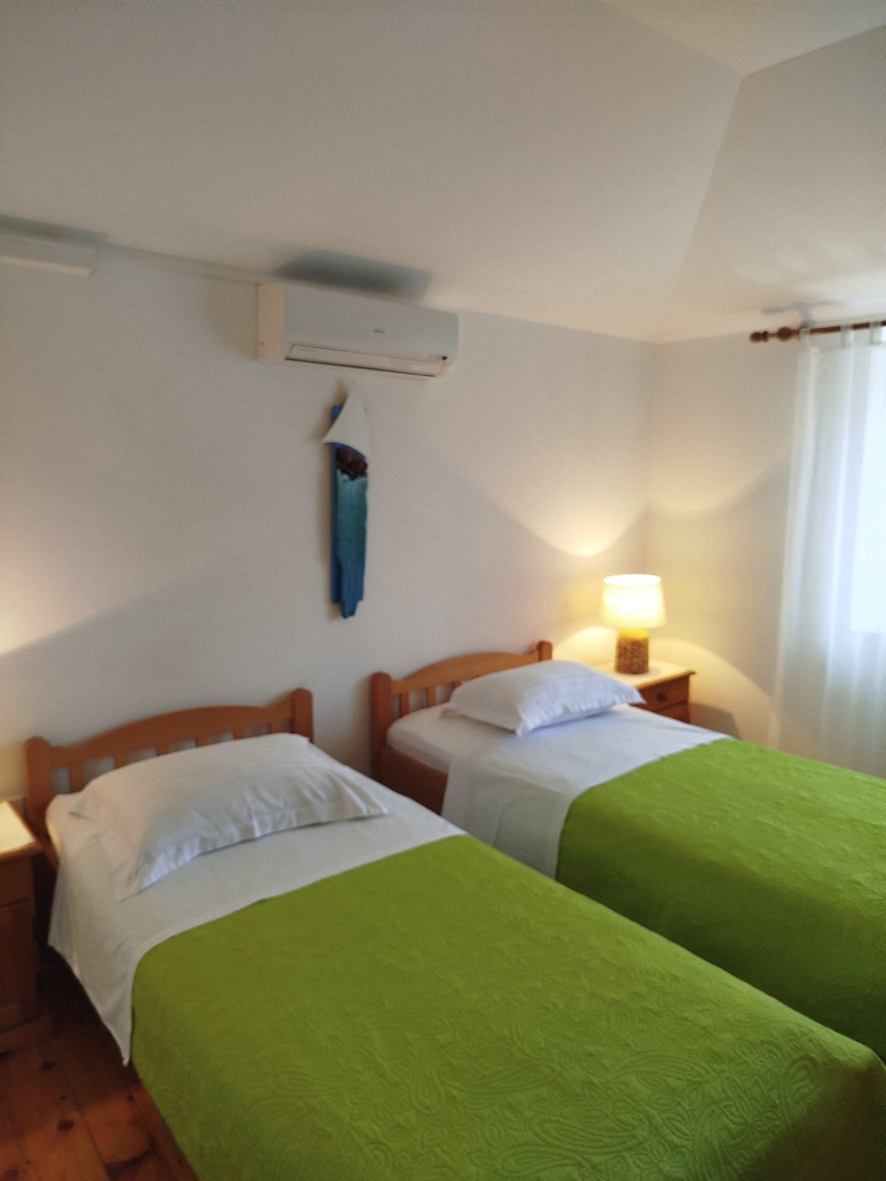 33 km from Gornji Humac
- Apartment
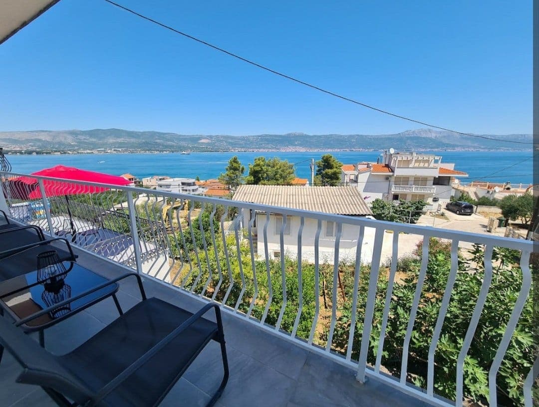 39 km from Gornji Humac
- Apartment
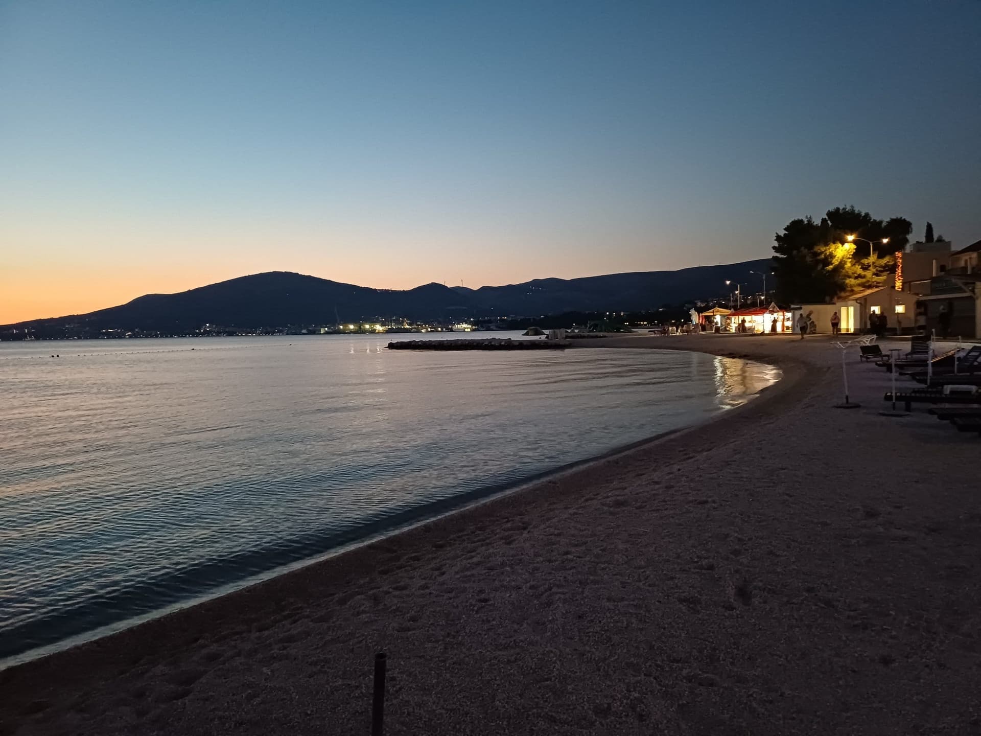 43 km from Gornji Humac
- Apartment
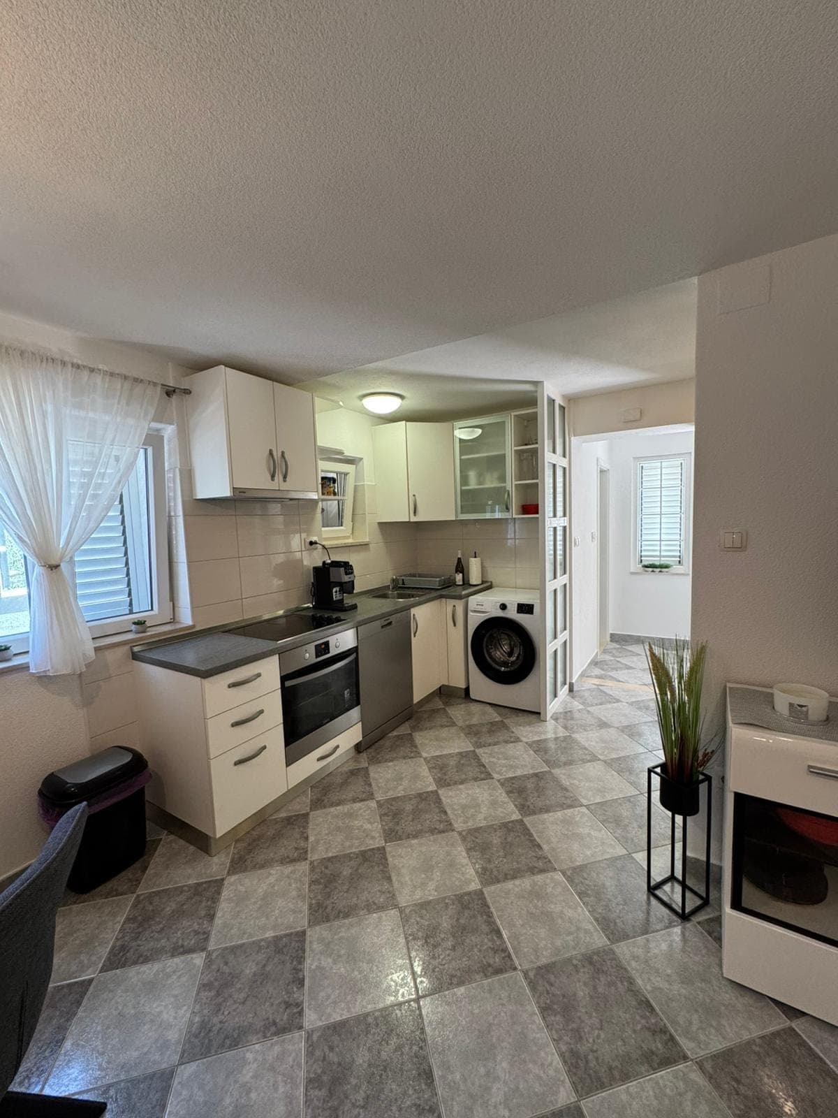 43 km from Gornji Humac
Be the first to list here
Guests looking for this place only see stays nearby for now. No commission, and enquiries come straight to you.
List your accommodation
Beaches
Gornji Humac has no shoreline or village beach because it sits high on Brač’s plateau, but its road junction leads directly towards Bol. The best-known swimming destination on that side of the island is Zlatni rat, a fine-pebble spit formed around an underwater reef whose tip shifts under the influence of winds, waves and currents. The beach lies about two kilometres from central Bol and is served in summer by a tourist train and small boats. Returning to Gornji Humac requires a climb along the winding road, making a car or island bus more practical than cycling during the hottest part of the day.
Things to do
Begin on Gornji Humac’s square at St Nicholas’s parish church, where a triptych attributed to Juraj Dalmatinac is joined by a stone relief triptych associated with the circle of Niccolò di Giovanni Fiorentino. Continue to the cemetery and the Church of Our Lady, whose older fabric is pre-Romanesque and whose interior contains a Virgin-and-Child triptych and an unusual wrought-iron screen. A longer walk leads past the Gustrišica karst pit towards the abandoned sites of Mošuja and Dubravica, where collapsed dry-stone walls reveal former pens and small dwellings. In the other direction, Straževnik’s St George’s Church—first recorded in 1111—contains a restored Renaissance relief depicting Christ and St George fighting the dragon.
Tours and activities
AdAd · partner offers: Viator, GetYourGuideThe partner handles booking, payment and support. StayBravo may earn a commission on bookings made through these links.How we choose offersWe choose offers based on the page you are viewing: the partner destination for this place or the nearest one (with its distance), and on a sight page only offers that mention it. We show offers rated at least 4.3 with at least 10 reviews, without multi-day tours or pure transfers, ordered by rating adjusted for the number of reviews and then by the partner’s order. We do not use data about you, and the commission does not affect the order.GetYourGuide offers are selected and ordered by GetYourGuide based on the name of the nearest larger town or national park; we do not influence their selection and do not use data about you.GetYourGuide · Bol
We show GetYourGuide offers once you allow their cookies.
Viator
Nearest destination: Brac Island (6 km)
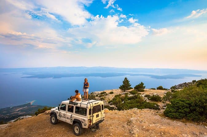
Feel and Taste island Brac with local experts - island adventure to remember (opens in a new tab)
• Meet real Brač heritage by visiting original places with a local guide • Visit a family Olive Oil museum, hear the story about tradition and do the tasting • Have an authentic lunch in a…
Rated 5 out of 5 · 110 reviews· 8–9 h
Free cancellation
from €260
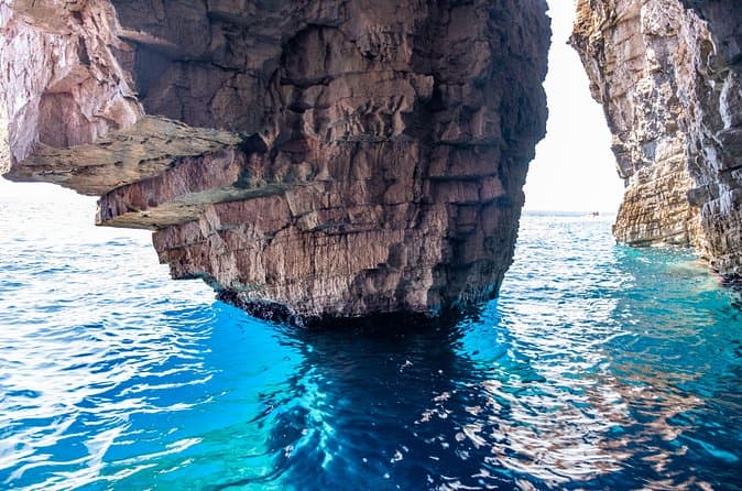
Luxury Blue Cave, Hvar and Vis Boat Tour from Split and Brac (opens in a new tab)
A brand new powerful speedboat equipped with a cabin, WIFI, toilet and hard top is ideal for spending the day out at sea with our young and enthusiastic team. For over a decade we have been sharing…
Rated 4.9 out of 5 · 566 reviews· 10 h
Free cancellation
from €174

Private Blue Cave Tour from Split, Brač, Trogir and Hvar (opens in a new tab)
The private version of our Blue Cave tour is more than just a boat trip – it’s a fully customized Adriatic adventure designed to match your pace, preferences, and travel style. ⚓ What’s Included: •…
Rated 5 out of 5 · 51 reviews· 10 h
Free cancellation
from €1,500
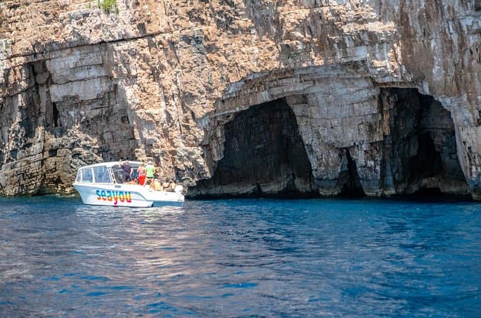
Private Luxury Boat tour for 12 from Split, Brac, Trogir, Hvar (opens in a new tab)
Explore the Middle Dalmatian islands with our 12m aluminum speedboat equipped with a cabin, toilet, WIFI, a hard top and high quality electronics with great music performance for a fun and exciting…
Rated 5 out of 5 · 65 reviews· 10 h
Free cancellation
from €1,650
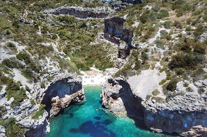
Blue Cave and Hvar Boat Tour: Small-Group from Split or Brac (opens in a new tab)
We are a small, family-owned company with years of experience, specializing in tourist boat excursions. Investing in our fleet of excursion boats continually for years, we now have a fleet of 7…
Rated 4.8 out of 5 · 561 reviews· 10 h
Free cancellation
from €140
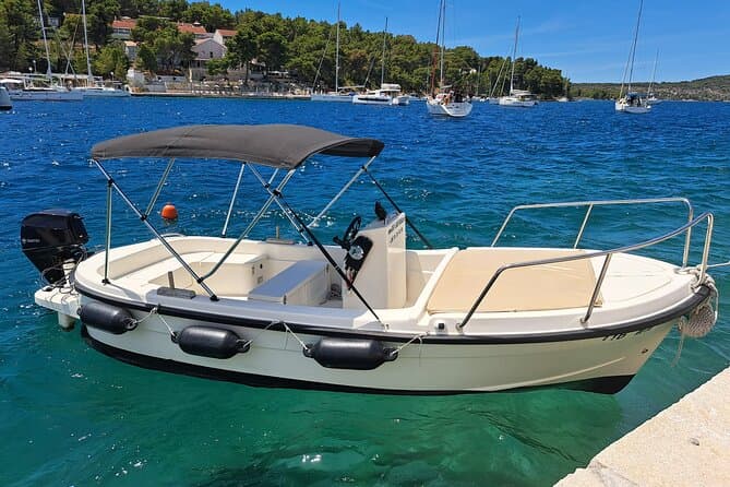
Explore by Betina boat West side of island Brac and Bobovisca (opens in a new tab)
Explore the most unique coast on island Brac. West coast offers you a lot of unexplored bays and coves, hidden villages including Bobovisca with free mooring for your boat and 2 top restaurants by…
Rated 5 out of 5 · 48 reviews· 8 h
Free cancellation
from €215
Practical information
Getting there and around
Gornji Humac stands where Brač’s main inland road meets the branch descending to Bol. Brač Airport gives its address as Gornji Humac 145 and places itself 30 kilometres from Supetar; from the village junction, drivers follow the Bol road and turn at the sign after two kilometres. Arriva’s timetable valid from 27 October 2025 lists several Supetar services through Gornji Humac, with separate operating notes for weekdays, Saturdays, Fridays, Sundays and holidays. From the mainland, Supetar is reached by Jadrolinija’s ferry from Split, whose published 2026 crossing time is 50 minutes.
Frequently asked questions
How far is Gornji Humac from Pučišća?
Brač’s destination website gives the distance as approximately ten kilometres.
What is preserved in St Nicholas’s Church?
The church is noted for a triptych by Juraj Dalmatinac and a stone relief triptych from the school of Niccolò di Giovanni Fiorentino.
Where is the turn for Brač Airport?
Turn towards Bol in Gornji Humac, then follow the next airport sign after approximately two kilometres.
Nearby
Gornji Humac
Open in OpenStreetMap(opens in a new tab)Larger towns
straight-line distance
Related guides
Split
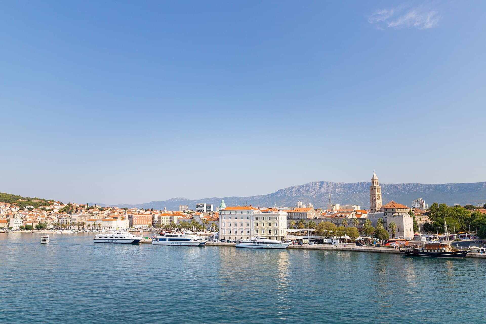
In Split, the transition from ancient monument to ordinary street is almost imperceptible: entering the southern part of Diocletian’s Palace from the Riva leads towards the Peristyle, then…
Read the guide

Baška Voda
Baška Voda lies in the western part of the Makarska Riviera directly below the Biokovo massif. Once a fishing and seafaring settlement, it developed into a resort whose centre remains…
Read the guide
Podstrana
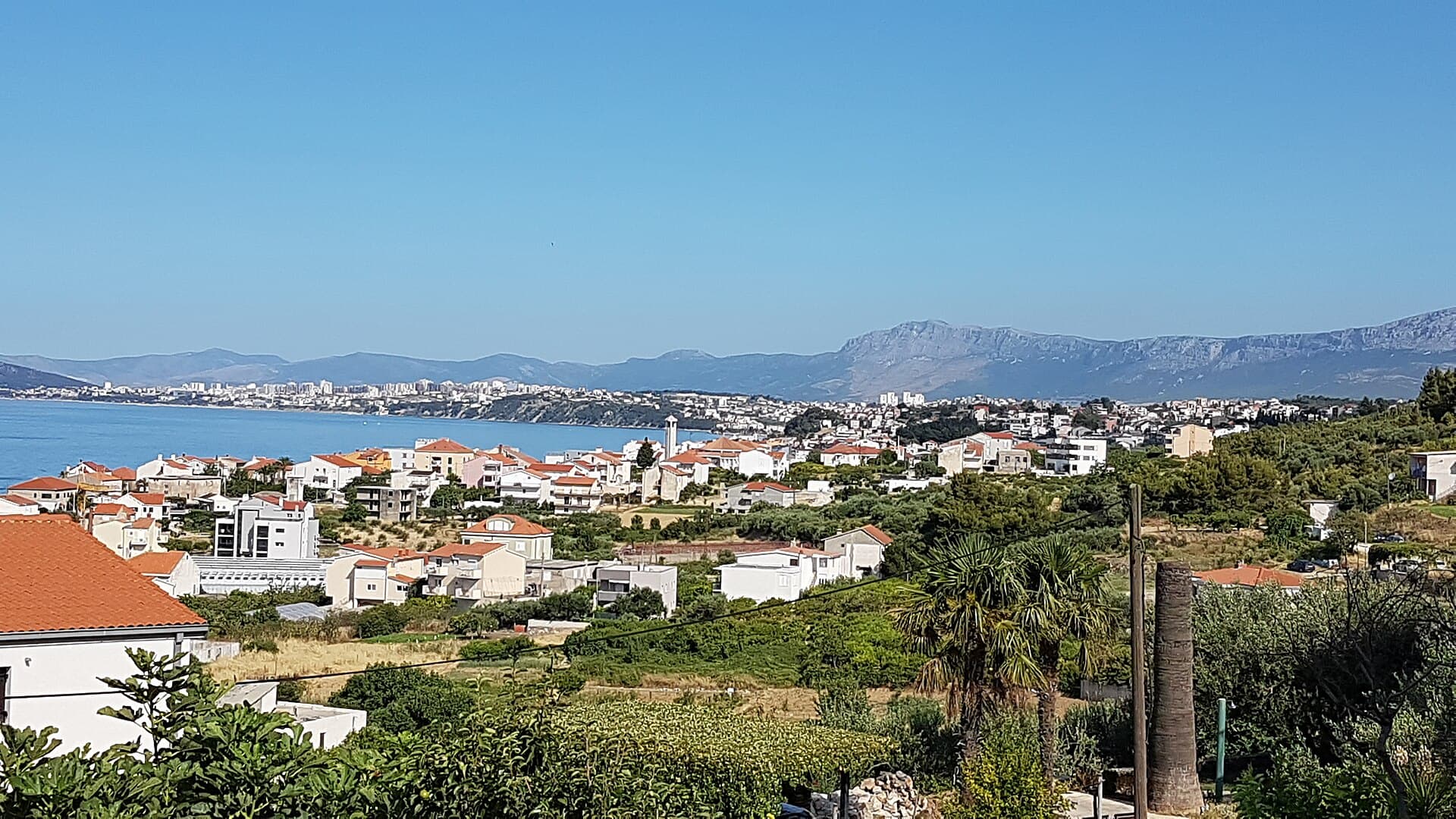
Podstrana is made up of five settlements. The oldest is Gornja Podstrana, set 290 to 340 metres above sea level beneath Perun, while Strožanac, Grljevac, Sveti Martin and Mutogras follow…
Read the guide

Brela
Brela is a municipal seat at the northern end of the Makarska littoral, about 15 km northwest of Makarska, on the Adriatic Highway and in a belt of pine forest at the foot of Biokovo. The…
Read the guide
Know Gornji Humac? Correct us
Tell us in your own words what is not accurate. We check right away.Do not enter personal data. Corrections are checked by the StayBravo AI assistant; changes to the description are approved by an editor. Use the form instead
Do you know Gornji Humac?
Help the guests who come after you.
Help us complete
Nothing is published without an editor’s review.Report illegal content
Photo credits: Gornji Humac, Bol, Novo Selo, Murvica — Kelovy (Public domain) · Pražnica — August Dominus (CC BY-SA 4.0) · Pučišća — Lemurek at English Wikipedia (Public domain) · Dol, Povlja — Ante Perkovic (CC BY 3.0) · Selca, Crkva sv. Klementa u Pražnicama — Martin Brož (CC BY 3.0) · Škrip — Honza Beran (CC BY 2.5) · Church of St. George, All Saints Church in Pražnica, Church of St. Cipriano, Pražnice — Argo Navis (CC BY-SA 4.0) · Villa Sara — Sara Stanic (courtesy of the property owner) · In The Palace — Partner (courtesy of the property owner) · Apartman A&K — Jelena Boban (courtesy of the property owner) · Apartman Lucija — Ljubica Munjiza (courtesy of the property owner) · Apartmani Mirjana — Mirjana Rapić (courtesy of the property owner) · Split — dronepicr (CC BY 2.0) · Baška Voda — Mario Žamić (CC BY-SA 3.0) · Podstrana — Romanm (CC BY-SA 4.0) · Brela — Josip-Pino Žamić (CC BY-SA 4.0)