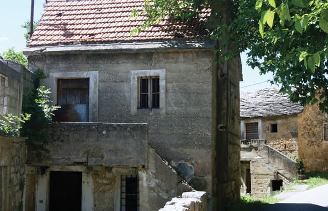
Kovačić
About this place
Kovačić stands immediately outside Knin, at the beginning of the short road leading to Krčić Waterfall and the source of the River Krka. Its defining landscape is not the sea but the meeting point of two karst waterways beneath Dinara. The Krčić runs for roughly ten kilometres through a canyon punctuated by tufa cascades before ending at Topoljski buk, also called Veliki buk or Krčić Waterfall. The Knin Tourist Board gives the drop as 22 metres, while the Croatian Encyclopaedia records Veliki buk at approximately 20 metres. The Krka rises directly below the waterfall, placing the end of one surface stream beside the beginning of another major Dalmatian river. Krčić is a strongly seasonal sight: an official destination plan describes a waterfall flowing in winter and spring but drying out in summer. A macadam road known as Napoleon’s Road follows the canyon past mill remains and Dinara views. Kovačić is therefore best used as a base for walking beside the Krčić, photographing the falls after wetter weather and continuing into nearby Knin.
Kovačić belongs to Knin’s inland hinterland, and its defining feature is water descending from Dinara rather than the Adriatic coast. County road ŽC6057 leads from the settlement to the Krčić Waterfall visitor site; an official city document gives this Kovačić–waterfall section as 1.2 kilometres. Topoljski buk is the final waterfall of the Krčić stream, and the River Krka rises immediately below it. Sources place the drop at approximately 20–22 metres, although its hydrological setting matters more than the small difference in measurements. The waterfall is most substantial in winter, spring and after heavy rain, while its summer disappearance exposes the rock face normally covered by the falling water.
Things to see
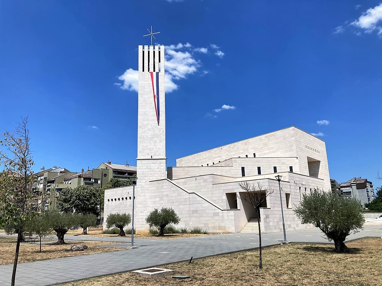
Church of Our Lady of the Great Croatian Baptismal Covenant in Knin
Landmark · Knin
church in Croatia
2 km from Kovačić
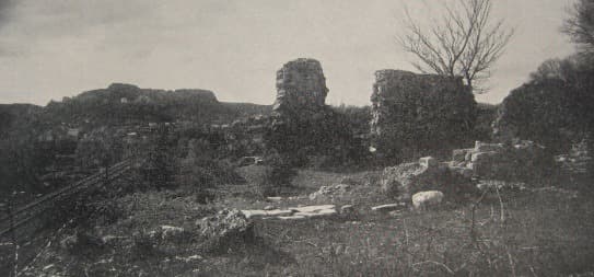
Cathedral of Saint Bartholomew in Kapitul
Landmark · Potkonje
romanesque church remains in Knin, Croatia
3 km from Kovačić

More to see
Stays further afield
- Apartment
 49 km from Kovačić
- Apartment
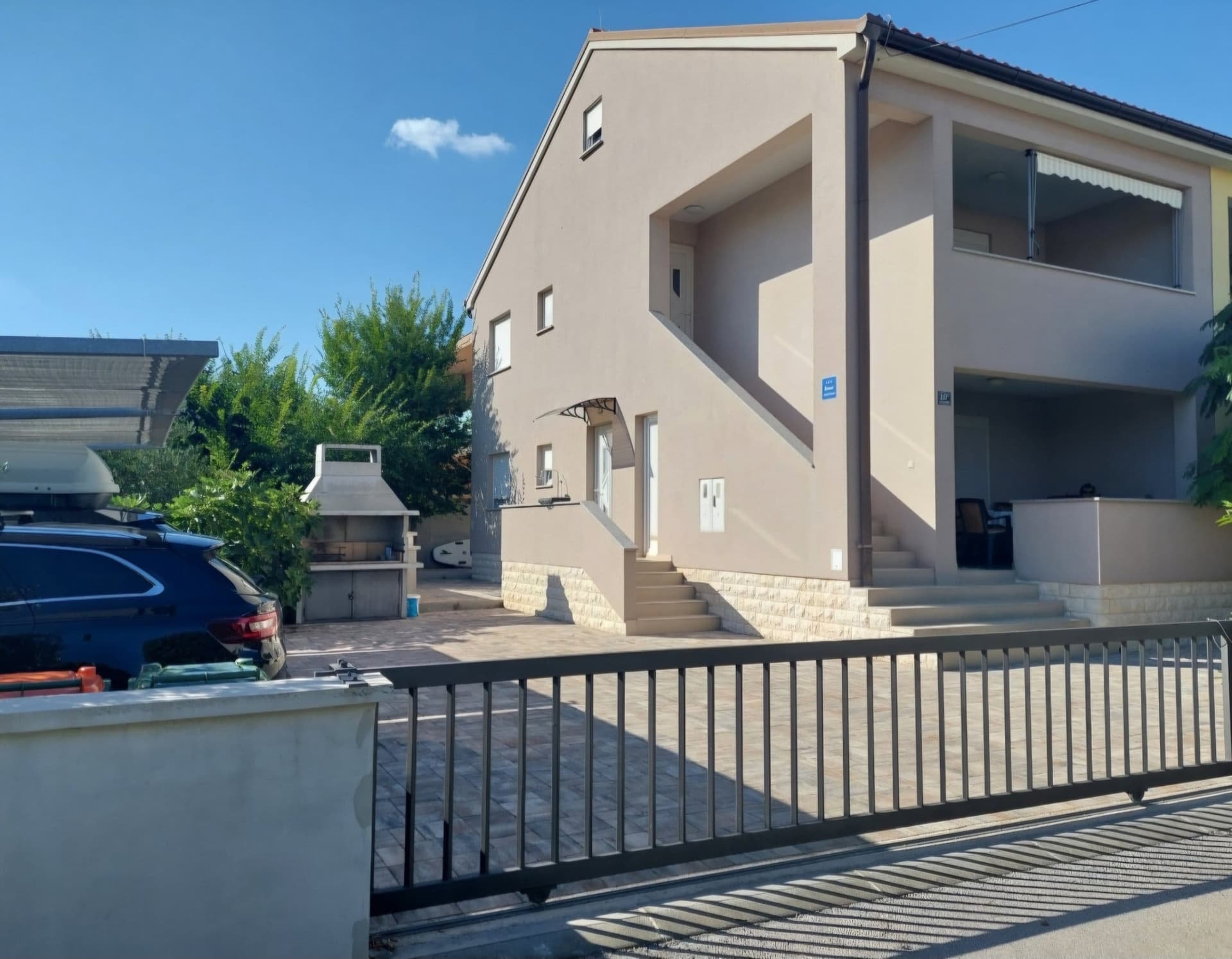 50 km from Kovačić
- Apartment
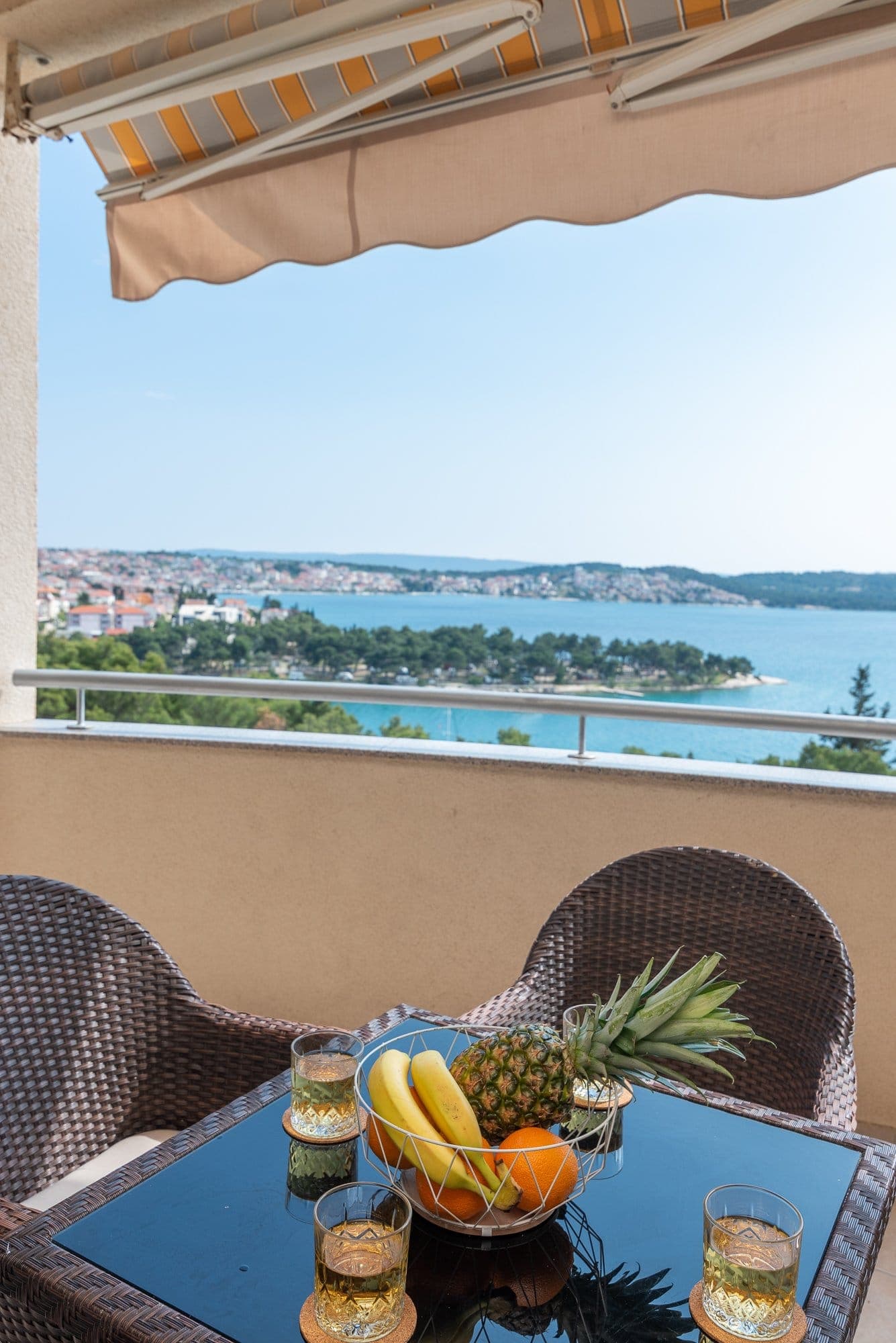 59 km from Kovačić
- Apartment
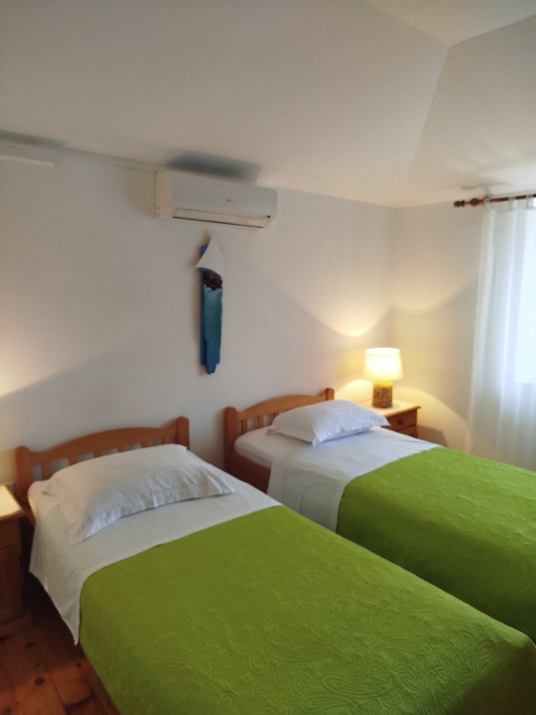 63 km from Kovačić
- Villa
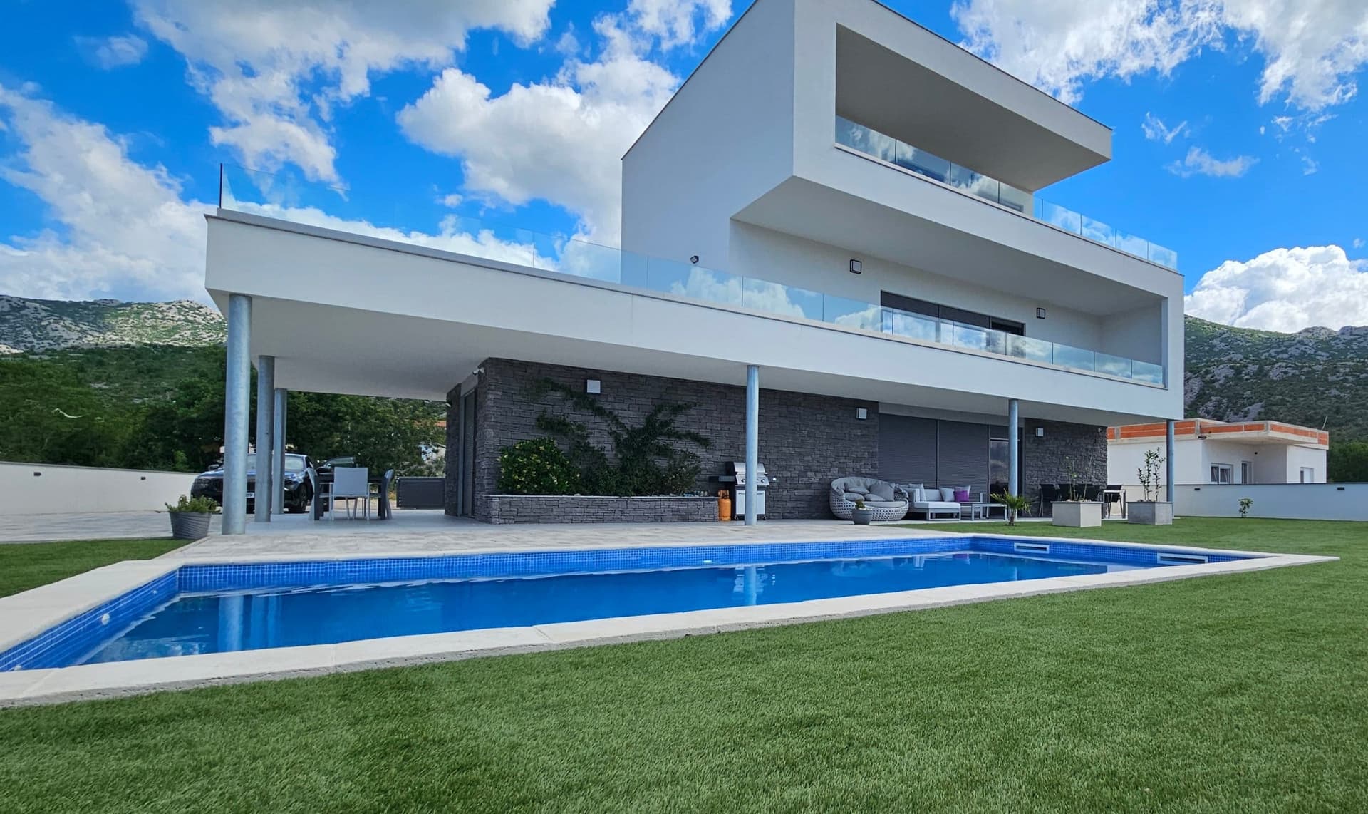 64 km from Kovačić
- Apartment
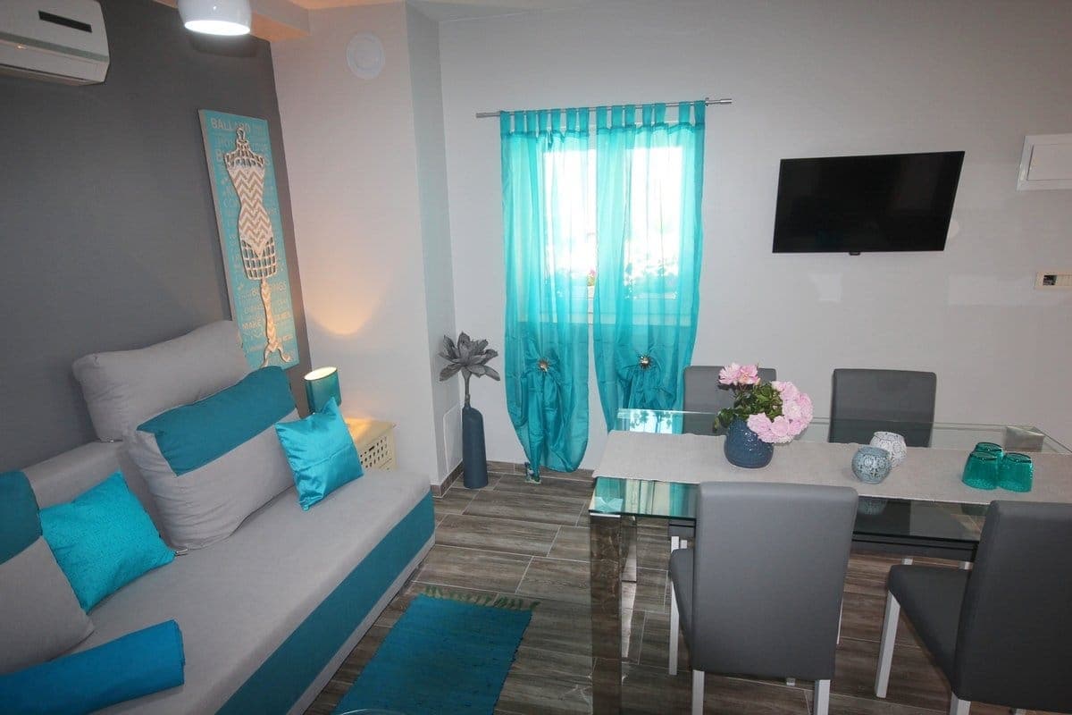 78 km from Kovačić
- Apartment
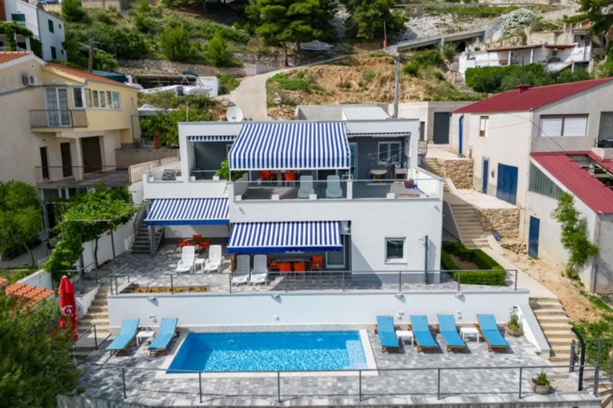 82 km from Kovačić
- Holiday home
 Čatrnja · 110 km from Kovačić
Be the first to list here
Guests looking for this place only see stays nearby for now. No commission, and enquiries come straight to you.
List your accommodation
Things to do
Kovačić is the starting point for exploring the final stretch of the Krčić, which cuts through a canyon below Dinara before reaching Topoljski buk. Begin at the 22-metre Topoljski buk, also known as Veliki buk or Krčić Waterfall, where the Krčić ends its course. Below the waterfall, Krka’s main spring lies in a cave; the Small Spring and Third Spring are slightly lower on the left bank. Afterwards, follow the 15-kilometre unpaved Napoleonic road along the Krčić canyon, passing tufa cascades and old mills. This sequence connects Kovačić with the unusual meeting point where the Krčić ends and the Krka begins.
Tours and activities
AdAd · partner offers: Viator, GetYourGuideThe partner handles booking, payment and support. StayBravo may earn a commission on bookings made through these links.How we choose offersWe choose offers based on the page you are viewing: the partner destination for this place or the nearest one (with its distance), and on a sight page only offers that mention it. We show offers rated at least 4.3 with at least 10 reviews, without multi-day tours or pure transfers, ordered by rating adjusted for the number of reviews and then by the partner’s order. We do not use data about you, and the commission does not affect the order.GetYourGuide offers are selected and ordered by GetYourGuide based on the name of the nearest larger town or national park; we do not influence their selection and do not use data about you.GetYourGuide · Kovačić
We show GetYourGuide offers once you allow their cookies.
Viator
Nearest destination: Šibenik (44 km)
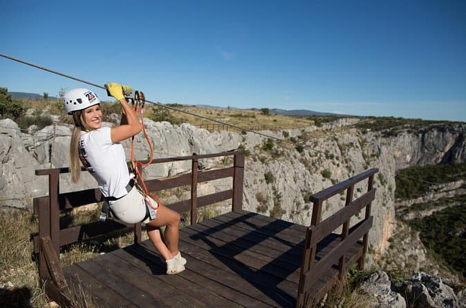
Zipline Šibenik - Čikola Canyon (opens in a new tab)
Located in the heart of the Čikola River Canyon, Zipline Šibenik offers an unforgettable adventure high above the river, soaring over tree canopies and dramatic ravines with the wind in your hair…
Rated 5 out of 5 · 117 reviews· 1–1.5 h
Free cancellation
from €74.64
Private Sibenik Walking Historical Morning or Evening Tour (opens in a new tab)
A few things you will very possible discover along the way include a Sibenik patron saint, first canonized Croatian man, theater where doctor Kovach (from ER) started his career, noblemen, first and…
Rated 5 out of 5 · 102 reviews· 2–3 h
Free cancellation
from €49

Sibenik Private Combined Food & Drink and Historical Tour (opens in a new tab)
You will stumble across, uncover and experience: Café culture, appetizer which was served on the coronation of Queen Elisabeth II, Balkan hamburger, local grape which you can see in the UN building…
Rated 5 out of 5 · 41 reviews· 4–6 h
Free cancellation
from €159
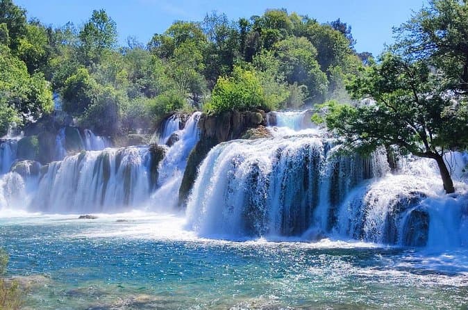
Krka Waterfalls half day, Private Tour from Sibenik (opens in a new tab)
Discover the natural beauty of Krka National Park with a guided tour from Sibenik. See the park’s famous Skradinski buk waterfalls, stop at stunning viewpoints and walk along wooden footpaths…
Rated 5 out of 5 · 29 reviews· 3–5 h
Free cancellation
from €520
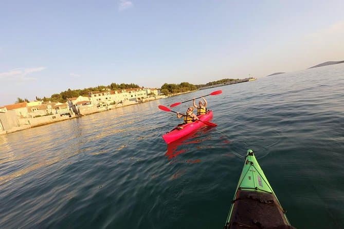
Kayaking to the island Prvić (opens in a new tab)
The first sight a visitor gets of Prvić island is the line of centennial stone houses. Island Prvić inhabited since the early Middle Ages, a stroll through the town will take you on a journey back…
Rated 4.9 out of 5 · 32 reviews· 3.5 h
Free cancellation
from €60
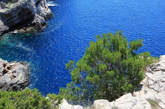
KORNATI by speed boat (opens in a new tab)
The Kornati Islands National Park Excursion by Anima Natura Travel Agency is your chance to enjoy the wonderful Croatia from within. Our boat will lead you to experience intimately islands, sea and…
Rated 4.9 out of 5 · 38 reviews· 10 h
Free cancellation
from €180
Practical information
Getting there and around
Kovačić lies on state road D1, with county road ŽC6057 leading to the turn-off for Krčić Waterfall. The official road list for the Knin area gives the ŽC6057 section from Kovačić on D1 to the waterfall junction as 1.2 kilometres long. From that junction, local road LC65013 continues alongside the Krčić towards Suhopolje; the City of Knin lists this section as 7.8 kilometres. Follow the Slap Krčić sign from D1 to reach the waterfall, then use the riverside road to continue through the canyon.
Frequently asked questions
When does Krčić Waterfall carry the most water?
The waterfall typically carries more water in winter and spring and often dries out in summer.
Where does the River Krka rise?
The Krka rises directly below Topoljski buk, the final waterfall of the Krčić stream near Kovačić.
How far is Krčić Waterfall from Kovačić by road?
The official city road inventory gives 1.2 kilometres for the ŽC6057 section from Kovačić to the Krčić Waterfall visitor site.
Nearby
Kovačić
Open in OpenStreetMap(opens in a new tab)straight-line distance
Related guides
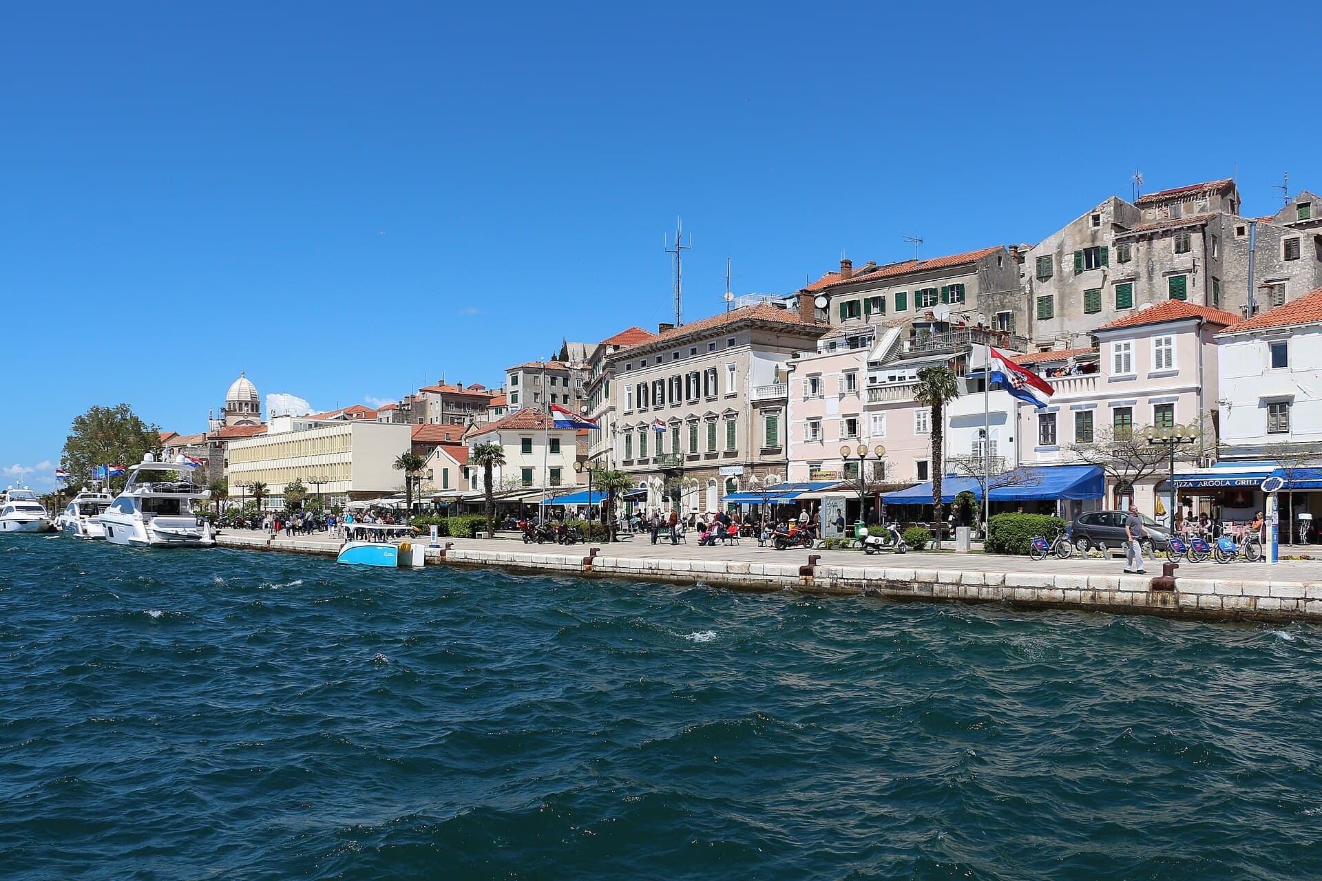
Šibenik
Three contrasting areas help explain Šibenik's historic centre: the steep lanes of Gorica, waterfront Dolac and the central streets around Kalelarga. In Gorica, stone steps climb towards St…
Read the guide
Tisno
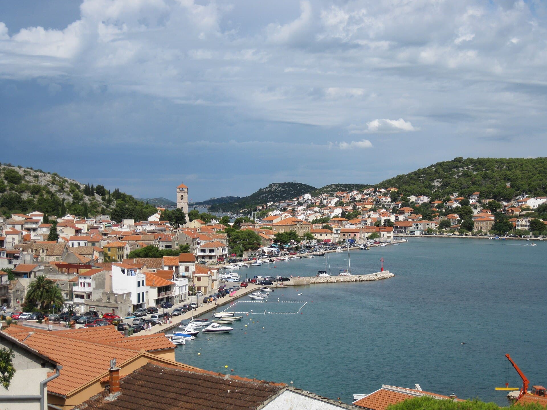
Tisno is neither conventionally insular nor wholly mainland: its houses, squares and waterfronts occupy both sides of the strait. The settlement’s name derives from this narrow passage,…
Read the guide
Pirovac
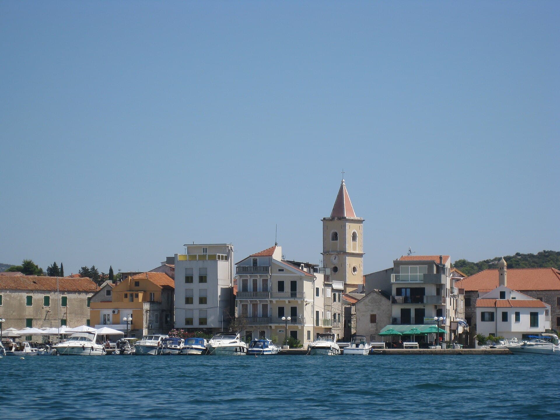
Pirovac sits on the northern shore of Pirovac Bay, at the western edge of Šibenik-Knin County. Its former fortified core is still legible in the Gate of the Village and its compact stone…
Read the guide
Tribunj
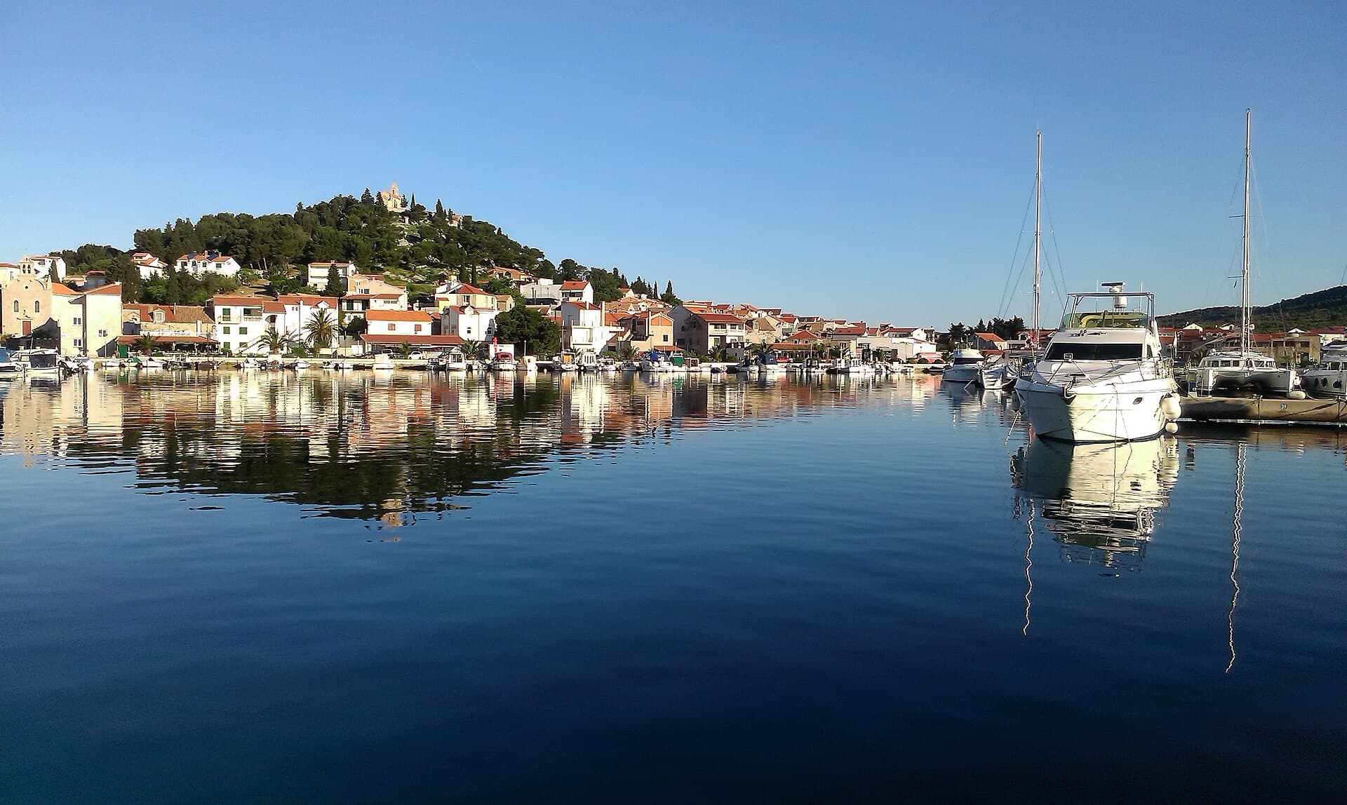
Tribunj grew around a tiny island core connected to the mainland by a stone bridge. Closely packed houses and narrow passages are overlooked by St Nicholas Hill, with its church and the…
Read the guide
Know Kovačić? Correct us
Tell us in your own words what is not accurate. We check right away.Do not enter personal data. Corrections are checked by the StayBravo AI assistant; changes to the description are approved by an editor. Use the form instead
Do you know Kovačić?
Help the guests who come after you.
Help us complete
Nothing is published without an editor’s review.Report illegal content
Photo credits: Kovačić — Pidge Copetti (CC BY-SA 4.0) · Žagrović — StevenL (CC BY-SA 3.0) · Vrbnik, Biskupija Municipality — Julian Nyča (CC BY-SA 3.0) · Biskupija — Krešimir Bikić (CC BY-SA 3.0) · Golubić, Šibenik-Knin County — This image was made by Sadko. Please credit this with: "Sadko, Wikipedia" in the immediate vicinity of the image. A message to me would be appreciated as well. If you wish to use, license, or buy the (CC BY-SA 4.0) · Oćestovo — Zmaj123 (CC BY-SA 4.0) · Church of Our Lady of the Great Croatian Baptismal Covenant in Knin — Mudroslov (CC BY-SA 4.0) · Cathedral of Saint Bartholomew in Kapitul — unknown, made before 1927 (Public domain) · Orthodox Church in Knin — Martin Brož (CC BY 3.0) · Dalma Residence — Marin Radić (courtesy of the property owner) · APARTMAN COTA — Jadranka Cota (courtesy of the property owner) · Apartman Anđela — Mirjana Rapić (courtesy of the property owner) · In The Palace, Farm stay' ranch-Plitvice — Partner (courtesy of the property owner) · Villa Slatki — Saša Slatki (courtesy of the property owner) · Apartmani Rustica — Zdenko Dusevic (courtesy of the property owner) · Villa Sara — Sara Stanic (courtesy of the property owner) · Šibenik — Bernard Gagnon (CC BY-SA 4.0) · Tisno — Cholo Aleman (CC BY-SA 3.0) · Pirovac — MS.4Berlin (CC BY-SA 3.0) · Tribunj — Sztudva Gyöngyi (CC BY-SA 3.0)