Ploče
About this place
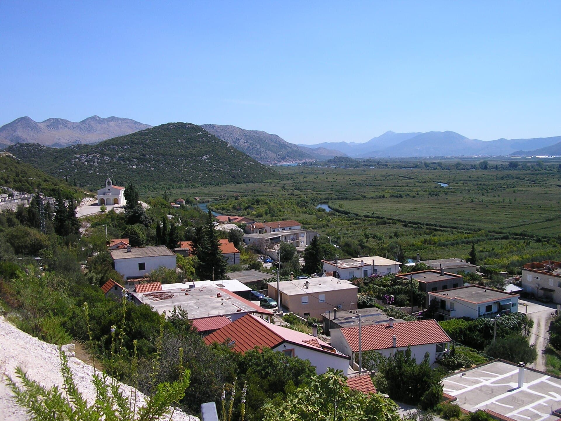
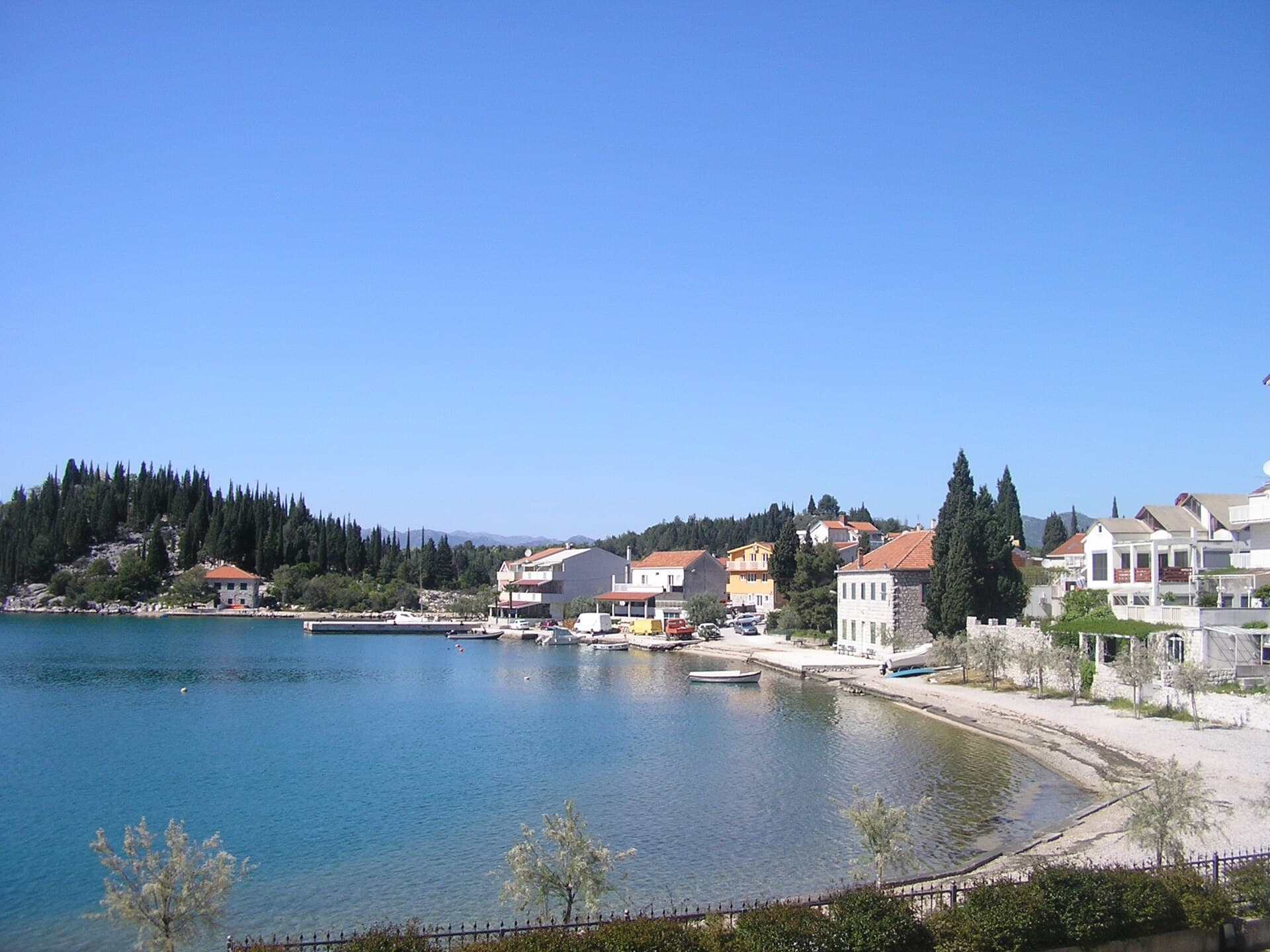
Ploče is a working port city at the edge of the Neretva Delta, wedged between the Adriatic, the seven Baćina Lakes and the final slopes of Biokovo. Its modern appearance grew from the post-war reconstruction of the port and railway, although the name Ploče was recorded for this bay as early as 1387. Rather than a conventional Dalmatian stone centre, visitors encounter a harbour skyline, socialist-era architecture, the Church of the Queen of Heaven and Earth, and exceptionally varied nature nearby. A few kilometres away, a walking and cycling trail connects six Baćina Lakes, where traditional boat trips, kayaking and stand-up paddling are available. South of town, the Neretva mouth offers sandbars, shallow water, birdwatching and renowned kitesurfing conditions. The year-round Ploče–Trpanj ferry takes about 60 minutes in 2026, making Pelješac an easy continuation. Ploče is consequently best understood as both a transport hub and a base for active days divided among lakes, delta, sea and peninsula.
Ploče has been shaped more by its port than by tourism: cargo terminals, railway infrastructure and later twentieth-century housing create a skyline unlike Croatia’s historic Dalmatian towns. The city developed beside a bay recorded under the name Ploče in 1387 and expanded rapidly after the Second World War as the port was rebuilt. Its strongest attraction is the immediate collision of different landscapes. The Baćina Lakes lie only a few kilometres northwest, the Neretva reaches the Adriatic south of town, and the ferry terminal opens a direct route across the channel to the Pelješac peninsula.
Stays nearby
 Apartment
Apartmeni Klenovica.eu
Klenovica
Klenovica, 308 km from Ploče
up to 4 guests · 1 bedroom
The host confirms the exact price for your dates and availability.
Things to see
The Church of the Queen of Heaven and Earth is a modern landmark: construction in central Ploče began in late 1999 for a parish established in 1961. The Baćina complex contains seven lakes, six linked by a walking and cycling path, while the area also preserves evidence of the Roman settlement Praetoria. At the Neretva mouth, shallow sea and sandbars extend hundreds of metres from shore. For an elevated perspective, the “Following the Bunkers” trail on Striževo passes eight Italian bunkers from the Second World War and opens views over the lakes, delta and Pelješac.

Beaches
Swimming around Ploče is divided among sea, river mouth and lakes. Municipal planning documents list Ploče’s town bathing area, Sladinac at the Baćina Lakes, the Neretva mouth and the marine beach at Dobrogošće. Sladinac suits visitors seeking freshwater and easy access to lake activities, whereas the Neretva mouth has fine sediment, exceptionally shallow water and room for kitesurfing. Expect wind and an exposed natural setting at the river mouth rather than a conventional town promenade; for calmer swimming, choose the developed lake access points and smaller coves around Baćina.
Bathing water quality nearby
- Tehnička radiona Ploče · 1.2 kmpoor · season 2025
- Portina - Baćina · 1.6 kmexcellent · season 2025
Source: European Environment Agency (EEA); data from Croatian authorities. · bathing water profile
Things to do
Begin with a walk from Trg kralja Tomislava to the Church of the Queen of Heaven and Earth, observing how the centre relates to the port and ferry terminal. Then drive a few kilometres to the Baćina Lakes, where a path links six bodies of water and the circuit can be extended by kayak, paddleboard or traditional boat. On a windy afternoon, continue to the Neretva mouth for kitesurfing or a walk across shallow sandbars. For a quieter ending, return to the lakeshore and watch the light fade behind the final slopes of Biokovo.
Food and drink
For lunch in the centre, the tourist board lists Fulin on Vladimira Nazora Street, Monaco on Plinjanska, Stara Dama on Neretvanskih gusara and Konoba Jadran on Dalmatinska Street. Roko at Trg kralja Tomislava is convenient before a ferry, while Oliva on Tina Ujevića Street works for a quicker stop. Beside the Baćina Lakes, options include Galeb and Restaurant Baćinska Jezera. Across the Neretva Valley, look for frog, eel and local fish dishes, followed by products made from mandarins or figs—ingredients closely associated with the delta and nearby Peračko Blato.
Practical information
Practical information
The Ploče Tourist Board is at Trg kralja Tomislava 17, the same address as the bus station and close to the ferry berth. Bring sun protection and suitable footwear for the Baćina Lakes trail; at the Neretva mouth, add wind protection because its exposed sandbars differ sharply from sheltered lake coves. Activities including kitesurfing, kayaking and traditional boat trips are arranged with local operators. Before travelling in 2026, consult Jadrolinija’s current timetable, since the number of daily Ploče–Trpanj sailings changes between the high season and the rest of the year.
Parking
Ploče Bus Station administers the city’s paid parking system and provides access to the current regulations and tariff on its official website. Payment is possible by SMS: send the vehicle registration without spaces to 708831, with each message purchasing one hour. The station and parking around Trg kralja Tomislava are convenient for both the ferry berth and centre, but check the permitted duration before leaving a vehicle during a Pelješac trip. As charges may change, use the amount displayed locally or in the current official 2026 tariff rather than relying on older online references.
Getting there and around
The bus station stands at Trg kralja Tomislava 17, immediately beside the ferry berth; its published 2026 schedule includes a daily Zagreb–Ploče–Dubrovnik service. Jadrolinija route 633 links Ploče and Trpanj throughout the year, with a crossing time of about 60 minutes. During the 2026 high season, from 3 July to 30 August, four daily departures from Ploče are published; services are less frequent during the remainder of the year. By road, Ploče connects directly with the main Dalmatian corridor, while the Baćina Lakes are only a few kilometres from the centre.
Frequently asked questions
How long is the ferry from Ploče to Trpanj?
Jadrolinija’s route 633 crossing takes approximately 60 minutes.
How many Baćina Lakes are there?
The group contains seven lakes, six of which are connected by a walking and cycling trail.
Why is the Neretva mouth good for kitesurfing?
Its exposed winds, sandbars and water that remains shallow for hundreds of metres create distinctive kitesurfing conditions.
When did construction of the central Ploče church begin?
Construction of the Church of the Queen of Heaven and Earth began in late 1999.
Nearby

Peračko Blato
Village · Dalmatia – Dubrovnik

Related guides

Dubrovnik
Dubrovnik’s historic centre is organised around Stradun, yet its character changes within a few steps of that main street. At the western end beside Pile stand the Large Onofrio Fountain,…
Read the guide

Help improve this page
Spot something missing or wrong? Suggest a correction, add your photo or report a problem. Editors review every suggestion before it is published.
Photo credits
- Ploče — Quahadi Añtó 07:14, 20 December 2011 (UTC) · CC BY-SA 3.0 · Wikimedia Commons
- Peračko Blato — Quahadi Añtó 15:25, 9 October 2016 (UTC) · CC BY-SA 4.0 · Wikimedia Commons
- Rogotin, Šarić Struga, Blace, Slivno, Banja, Dubrave, Pojezerje