
Antunovac, Lipik
About this place
Antunovac is a small settlement in the Municipality of Velika, set in the Požega basin between Trenkovo, Trnovac, Biškupci, Toranj and Krivaj. Official records listed it as Aleksandrovac Požeški until 1981 and simply Aleksandrovac in the 1991 census, a useful distinction from other Slavonian places named Antunovac near Osijek and Lipik. Its population fell to 103 in the 2021 census, so this is a quiet rural stop rather than a visitor centre filled with services. Local road L41026 connects Antunovac with Trenkovo and road L41027, while Velika and Požega provide the area’s main practical facilities. Papuk rises north of the village, and marked hiking and cycling routes leave nearby Velika for Lapjak, Nevoljaš and Jankovac. One substantial option is the 23.8-kilometre Velika–Jezerce–Jankovac–Velika cycling circuit, which reaches an elevation of 760 metres. Antunovac therefore works best as a peaceful southern approach to Papuk for travellers arriving by car with a planned day route.
Antunovac is one of the smaller settlements in the Municipality of Velika, lying southwest of the municipal centre and north of Trenkovo. Its former name, Aleksandrovac Požeški, preserves an unusual part of its identity: official statistics used that name from 1931 until 1981, followed by the shorter Aleksandrovac in the 1991 census. Present-day Antunovac belongs to the rural Požega basin below Papuk and has no separate visitor infrastructure within the village. The 2021 census counted 103 residents, while its modest built area and local road towards Trenkovo reinforce its quiet agricultural character.
Things to see


Jasenovac Monastery
Landmark · Jasenovac, Sisak-Moslavina County
church in Croatia
26 km from Antunovac, Lipik

Church of St George
Landmark · Grubišno Polje
church in Grubišno Polje, Croatia
27 km from Antunovac, Lipik
Stays further afield
- Holiday home
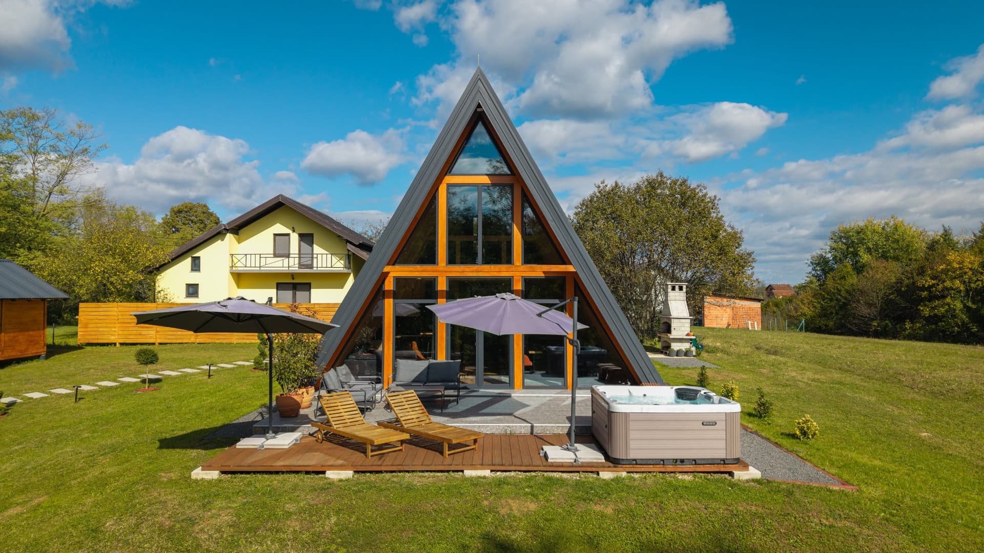 83 km from Antunovac, Lipik
- Apartment
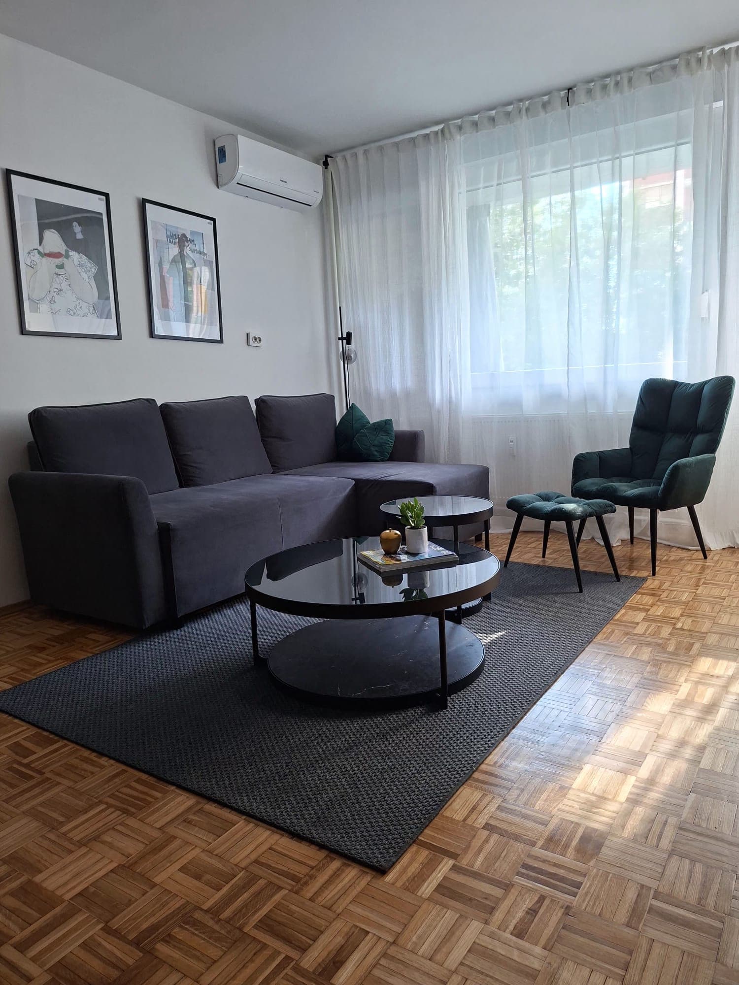 87 km from Antunovac, Lipik
Be the first to list here
Guests looking for this place only see stays nearby for now. No commission, and enquiries come straight to you.
List your accommodation
Things to do
Start with a walk along the village road towards Trenkovo for an unhurried view of the open Požega basin, then reserve the active part of the day for nearby Papuk. Cycling route 2 begins beside the church in Velika and covers 20.8 kilometres through the Dubočanka valley and forest before circling back. The longer route 3 runs for 23.8 kilometres via Jezerce to Jankovac Forest Park and reaches 760 metres at its highest point. Hikers can instead leave Velika on the marked trail through Lapjak and Nevoljaš to Jankovac, where the 28-metre Skakavac waterfall drops into the Kovačica canyon.
Tours and activities
AdAd · partner offers: GetYourGuideThe partner handles booking, payment and support. StayBravo may earn a commission on bookings made through these links.How we choose offersGetYourGuide offers are selected and ordered by GetYourGuide based on the name of the nearest larger town or national park; we do not influence their selection and do not use data about you.GetYourGuide · Antunovac, Lipik
We show GetYourGuide offers once you allow their cookies.
Practical information
Getting there and around
Antunovac lies on local road L41026, which runs to Trenkovo and meets L41027 towards Bankovci and the Požega urban area. The municipal centre of Velika is roughly three kilometres to the northeast, but the reviewed official sources publish no dedicated visitor bus departure from Antunovac. The Pleternica–Velika railway, opened in 1894, crosses the municipality, although Antunovac has no station of its own. A car or bicycle is therefore the practical choice for combining the village with Velika and the Papuk trailheads, especially when Jankovac is included in the same day.
Frequently asked questions
What was Antunovac formerly called?
The settlement was recorded as Aleksandrovac Požeški until 1981 and as Aleksandrovac in the 1991 census.
What was Antunovac’s population in 2021?
The 2021 census recorded 103 residents in Antunovac.
Which road links Antunovac and Trenkovo?
Local road L41026 links Antunovac with Trenkovo and connects to L41027.
Nearby
Antunovac, Lipik
Open in OpenStreetMap(opens in a new tab)Smaller places
straight-line distance
Related guides

Osijek
Tvrđa and the centre around the main square are distinct starting points for understanding Osijek. The former emphasises the fortified historic quarter and Baroque architecture; the latter…
Read the guide

Vukovar
A cultural visit to Vukovar has several separate centres of gravity. Eltz Palace and the City Museum address the city and its inhabitants across different periods. Vučedol reaches much…
Read the guide

Stubičke Toplice
Stubičke Toplice derives almost its entire identity from thermal water and the Zagorje landscape. There is no large urban historic core; green spaces, bathing facilities and traces of the…
Read the guide
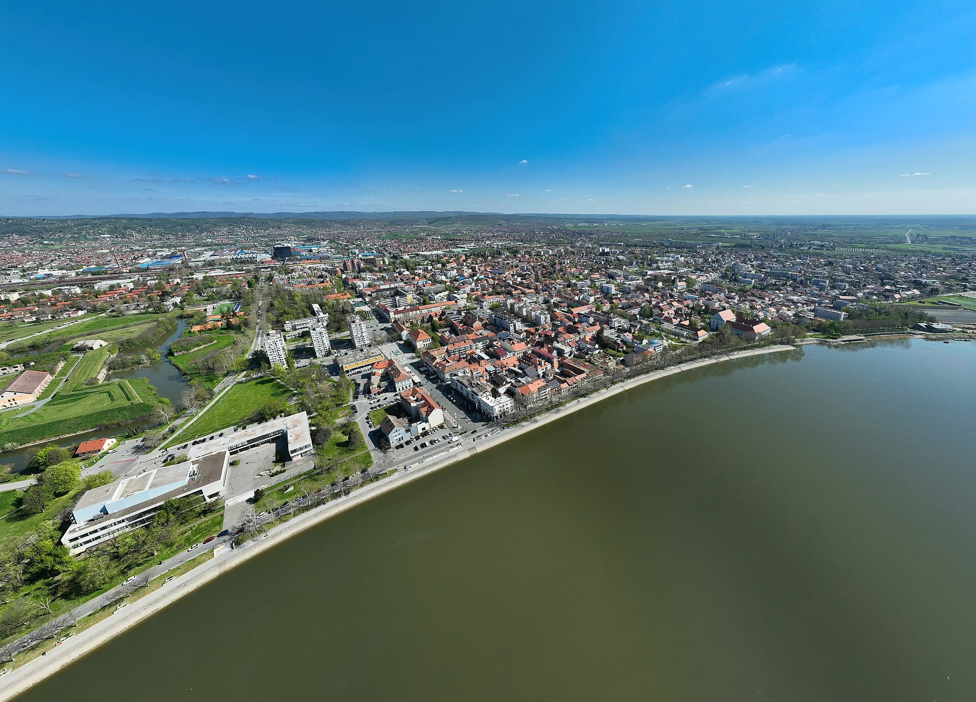
Slavonski Brod
Slavonski Brod developed around one of the major crossings of the Sava, and that border and transport role left a strong mark on the city. Brod Fortress represents the eighteenth-century…
Read the guide
Know Antunovac, Lipik? Correct us
Tell us in your own words what is not accurate. We check right away.Do not enter personal data. Corrections are checked by the StayBravo AI assistant; changes to the description are approved by an editor. Use the form instead
Do you know Antunovac, Lipik?
Help the guests who come after you.
Help us complete
Nothing is published without an editor’s review.Report illegal content
Photo credits: Antunovac, Lipik — Szajci (CC BY-SA 4.0) · Brezine, Lipik — Roberta F. (CC BY-SA 3.0) · Hrastovac, Garešnica — Hrastovac123 (CC BY-SA 3.0) · Saborna crkva Svete Trojice Pakrac — Nivanonivano (Public domain) · Garić Grad — Croq (CC BY-SA 3.0) · Jasenovac Monastery, Church of St George — Bastasic (CC BY-SA 3.0) · Kuća za odmor Green Zen — IVICA ŠKRINJARIĆ (courtesy of the property owner) · Book Me Apartman — Natalija Kirša (courtesy of the property owner) · Osijek — Rp031 (CC BY-SA 4.0) · Vukovar — Bybbisch94, Christian Gebhardt (CC BY-SA 4.0) · Stubičke Toplice — MOs810 (CC BY-SA 4.0) · Slavonski Brod — Petar Milošević (CC BY-SA 4.0)