Jablanac
About this place
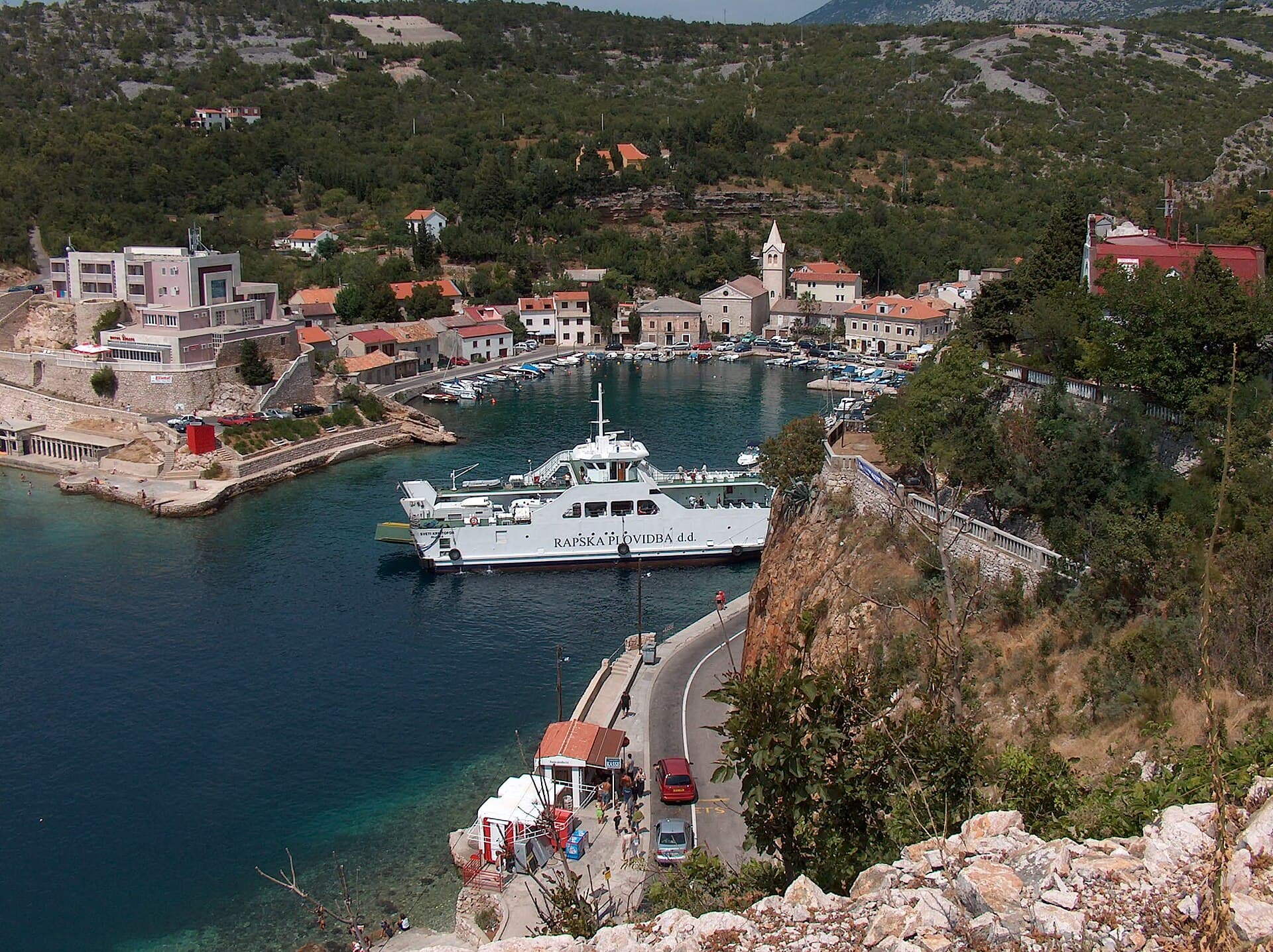
Jablanac is a tiny harbour settlement 41 kilometres south of Senj, wedged between the Velebit Channel and the mountain’s steep maritime slope. Rab fills the view across the water, while the former ferry harbour now serves as the walking gateway to Zavratnica, the village’s outstanding nearby landmark. A 1.8-kilometre stone path follows the shore to the inlet, which reaches some 900 metres inland between sides rising as high as 100 metres and has been protected as a Significant Landscape since 1964. In its shallows, the steel frame of a German landing craft sunk during a British air attack on 25 August 1944 remains visible. Jablanac itself has a much longer record: it first appears in written sources in 1179, and the churches of St Joseph and St Nicholas reflect its former importance. Above the coast, a narrow road climbs towards Alan and the southern part of Northern Velebit National Park. A stay in Jablanac can therefore move from a swim at Banja to the Zavratnica walk and then, dramatically, from a Mediterranean harbour into Velebit’s high mountain landscape.
Jablanac belongs to the City of Senj and occupies the Velebit Channel coast where the mainland draws close to Rab. Written sources mention it in 1179, and in 1251 it gained the status of a free royal town before passing to the Frankopan family. Medieval Ablana was a fortified harbour on the trade route between Lika and the Kvarner islands, but war and epidemics brought destruction and depopulation during the 16th century. Bunjevci settlers rebuilt the community towards the end of the 17th century. Today’s compact harbour is framed by the 18th-century parish church of St Joseph and the church of St Nicholas, whose fabric spans the 12th to the 18th centuries. Velebit rises immediately behind the houses, compressing Jablanac’s maritime and mountain history into an exceptionally narrow strip of coast.
Things to see
 National park
 Significant landscape
 Strict nature reserve
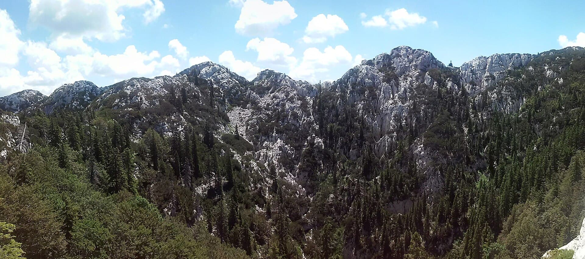
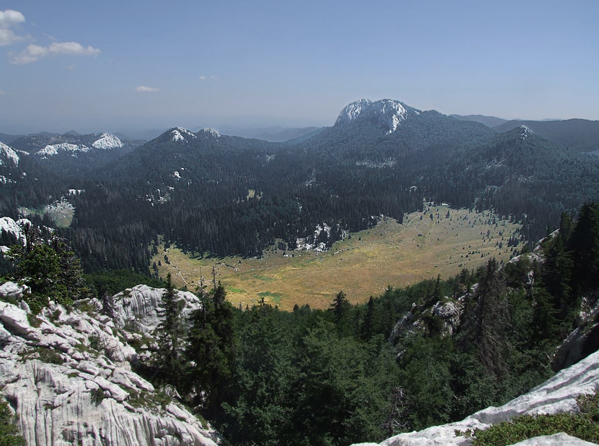
Hajdučki i Rožanski kukovi
Nature · Velike Brisnice
strict nature reserve in Croatia
10 km from Jablanac
Stays nearby
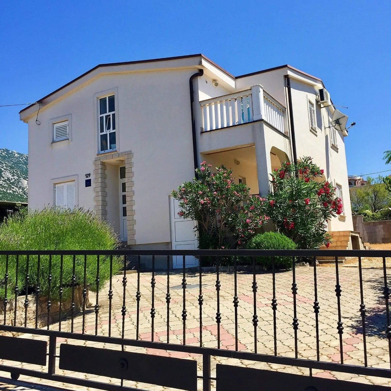
- Apartment
 19 km from Jablanac
Be the first to list here
Guests looking for this place only see stays nearby for now. No commission, and enquiries come straight to you.
List your accommodation
Beaches
Banja Beach lies within Jablanac, close to the Miroslav Hirtz mountain lodge and the small harbour. It is the village’s local entry point into the Velebit Channel and suits a short swim before or after the walk towards Zavratnica. Jablanac’s shore is exposed to the bora and rapidly changing sea conditions, giving Banja a very different character from the sheltered island beaches visible across the channel. Zavratnica should not be treated as a substitute for a conventional beach: the inlet is a protected Significant Landscape, and visitors must remain on the established paths and follow Velebit Nature Park rules. Banja is consequently the straightforward choice for swimming, while Zavratnica is primarily a walking destination for its dry-stone terraces, cliffs and historic wreck.
Bathing water quality nearby
- Jablanac (Banja - Grad Senj) · 105 mexcellent
Source: European Environment Agency (EEA); data from Croatian authorities. · bathing water profile
Things to do
Leave Jablanac harbour on the stone shoreline path towards Zavratnica; the official pedestrian-only trail is 1.8 kilometres long and reaches the inlet in roughly 20 minutes. Inside the cove, follow the dry-stone terraces to the point where the wreckage of a landing craft sunk in 1944 can be picked out beneath the clear shallows. For a wider perspective, climb towards the upper viewpoint and interpretation panels; the approach from Zavratnica village is only 800 metres but loses around 150 metres in elevation. Back in Jablanac, walk around the harbour and seek out the churches of St Joseph and St Nicholas. Reserve a separate mountain day for Alan, reached from the Adriatic Highway above Jablanac by a narrow paved road into the southern sector of Northern Velebit National Park.
Tours and activities
AdAd · partner offers: Viator, GetYourGuideThe partner handles booking, payment and support. StayBravo may earn a commission on bookings made through these links.How we choose offersWe choose offers based on the page you are viewing: the partner destination for this place or the nearest one (with its distance), and on a sight page only offers that mention it. We show offers rated at least 4.3 with at least 10 reviews, without multi-day tours or pure transfers, ordered by rating adjusted for the number of reviews and then by the partner’s order. We do not use data about you, and the commission does not affect the order.GetYourGuide offers are selected and ordered by GetYourGuide based on the name of the nearest larger town or national park; we do not influence their selection and do not use data about you.GetYourGuide · Rab
We show GetYourGuide offers once you allow their cookies.
Viator
Nearest destination: Krk Island (44 km)
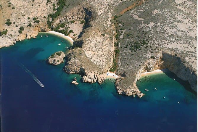
Private Wild Bays Boat Trip with Captain Bobo (opens in a new tab)
A relaxing half-day excursion, in the season, with less boat ride and more swimming in the perfectly clear sea and sunbathing on the most beautiful beaches of the northern Adriatic, ideal for all…
Rated 5 out of 5 · 50 reviews· 3.5 h
Free cancellation
from €190
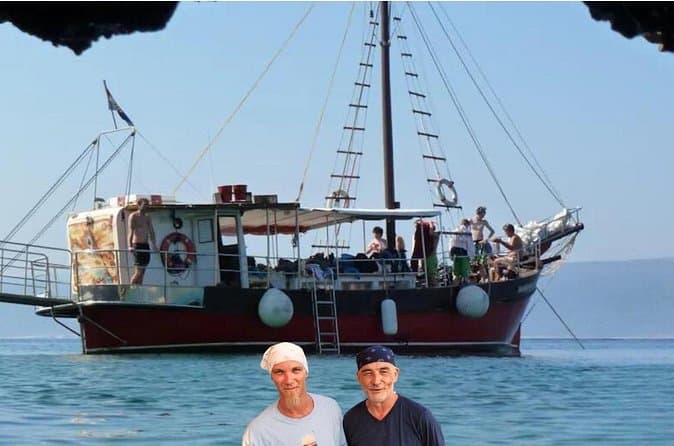
Discover Island Plavnik with a Pirate Ship ALL INCLUSIVE !! (opens in a new tab)
Discover the unique nature of Plavnik Island and the Wild bays in 8 hours with our captain Toni and his son Borna. Explore the blue cave and admire the rare griffon vultures. Swim in the small bays…
Rated 5 out of 5 · 23 reviews· 8 h
Free cancellation
from €45
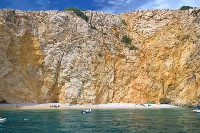
PUBLIC 3,5h Swimming and Snorkeling on the Wild Bays (opens in a new tab)
A relaxing public half-day excursion (3,5h), with less boat ride and more swimming and snorkeling in the perfect clear sea, and sunbathing on the most beautiful beaches of the northern Adriatic…
Rated 5 out of 5 · 22 reviews· 3.5 h
Free cancellation
from €37
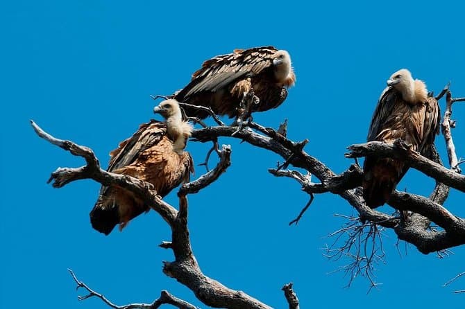
Private Plavnik Island Half-Day boat trip with capt. Bobo (opens in a new tab)
If you want a little more adventure, come with me to Plavnik, second largest uninhabited island in Croatia. After an hour boat ride, we reach the northern coast of the island Plavnik, which reveals…
Rated 4.9 out of 5 · 22 reviews· 5 h
Free cancellation
from €340
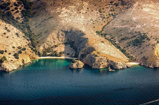
Private 7,5h Plavnik Island & Wild Bays Full-day Boat Trip (opens in a new tab)
If you like to sail with local traditional boats and enjoy the endless blue of the beautiful Adriatic Sea and you are not too big a fan of mass tourism, then this is the best option for you. After…
Rated 5 out of 5 · 13 reviews· 7.5 h
Free cancellation
from €650
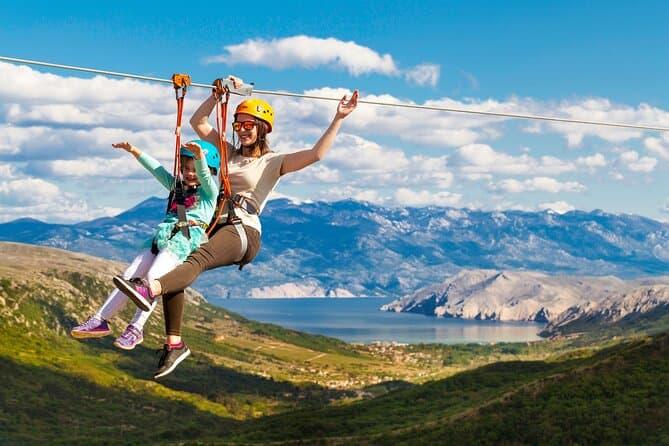
Zipline Experience Krk (opens in a new tab)
This is a attraction on the island of Krk and the whole of Croatia, intended for families and adventure lovers. We offers our visitors an unforgettable experience; driving our jeep, walking among…
Rated 4.7 out of 5 · 114 reviews· 2 h
Free cancellation
from €80
Practical information
Getting there and around
Jablanac branches off the D8 Adriatic Highway about 41 kilometres south of Senj. The former Rab ferry service has moved to nearby Stinica, so vehicles bound for Mišnjak no longer descend to Jablanac’s harbour. Above the village, the D405 links the D8 with Stinica ferry terminal, while a local road continues into Jablanac itself. For Alan, a narrow paved mountain road leaves the highway above the settlement and provides access to the southern part of Northern Velebit National Park. Zavratnica is not approached by car from the harbour; the final connection is the pedestrian-only coastal path. As the village harbour, mountain access and active ferry terminal are separate, a car makes it substantially easier to combine Jablanac, Alan and Stinica.
Frequently asked questions
How long is the walk from Jablanac to Zavratnica?
The stone coastal path is 1.8 kilometres long, and Velebit Nature Park gives a walking time of about 20 minutes.
Does the Rab ferry leave from Jablanac?
No; the vehicle ferry to Mišnjak uses nearby Stinica, while Jablanac harbour is the starting point for the walk to Zavratnica.
What can be seen underwater in Zavratnica?
The shallows reveal the steel frame of a German landing craft sunk after a British air attack on 25 August 1944.
Nearby
Jablanac
Open in OpenStreetMap(opens in a new tab)straight-line distance
Related guides

Karlobag
Karlobag occupies a narrow strip between the Velebit Channel and the mountain’s steep western slopes, facing the island of Pag. The Adriatic Highway passes through town, while the D25…
Read the guide

Karlovac
Karlovac began as a deliberately planned fortified town, and the present-day centre is still defined by the geometry of the Zvijezda and by the river corridors surrounding it. Rather than a…
Read the guide
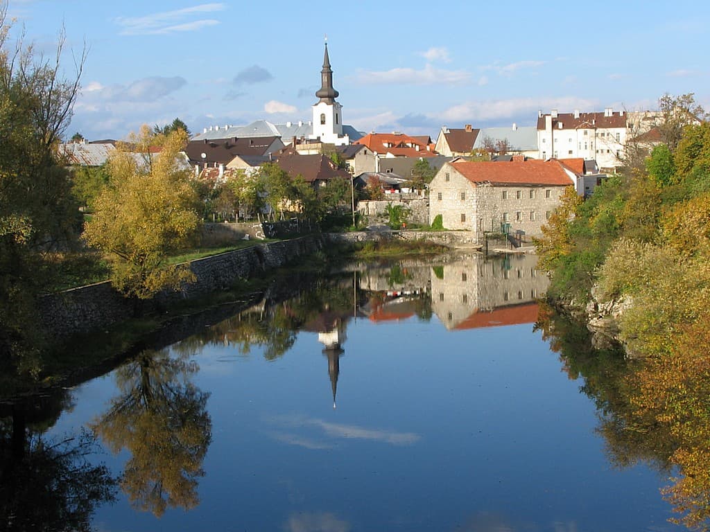
Gospić
Gospić is the principal urban centre of Lika-Senj County, yet as a visitor destination it is difficult to separate from the broad Lika field and nearby Velebit. The official tourist board…
Read the guide
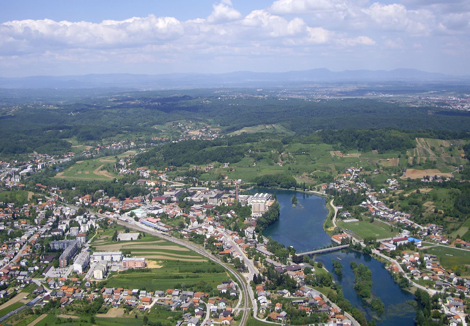
Duga Resa
Duga Resa is a town whose development is inseparable from the Mrežnica. The river runs through the settlement and serves simultaneously as a recreational space, natural landmark and part of…
Read the guide
Know Jablanac? Correct us
Tell us in your own words what is not accurate. We check right away.Do not enter personal data. Corrections are checked by the StayBravo AI assistant; changes to the description are approved by an editor. Use the form instead
Do you know Jablanac?
Help the guests who come after you.
Help us complete
Nothing is published without an editor’s review.Report illegal content
Photo credits: Jablanac — Gajárszki László (CC BY-SA 3.0) · Stinica, Banjol, Mundanije — Zoran Kurelić Rabko (CC BY-SA 3.0) · Barbat na Rabu — Aeroid (CC BY-SA 4.0) · Jakišnica, Lun — Palauenc05 (CC BY-SA 4.0) · Rab — Herbert Ortner (CC BY 4.0) · Stara Novalja — Maik Roscher (CC BY 3.0) · Northern Velebit National Park — Rootmaker (CC BY-SA 3.0) · Zavratnica — Olgierd Rudak (CC BY-SA 4.0) · Rožanski kukovi — Highonsteep (CC BY-SA 4.0) · Hajdučki i Rožanski kukovi — Jelena (CC BY-SA 3.0) · Apartman Mira — Marijan Ćaćan (courtesy of the property owner) · Karlobag — Orlovic (Public domain) · Karlovac — Bukovacka (CC BY-SA 4.0) · Gospić — INekic (CC BY-SA 4.0) · Duga Resa — Tomica at English Wikipedia (CC BY-SA 3.0)