
Plomin Luka
About this place
Plomin Luka sits at the head of Plomin Bay, a roughly four-kilometre inlet, 500 metres southwest of old Plomin and six kilometres from Kršan. Its former name, Porat, reflects the small harbour’s role as a meeting point for fishers, seafarers, millers and traders. Bauxite was loaded here, and in the interwar years small vessels also traded with Venice. A decisive change came in 1932, when drainage of Lake Čepić through a newly cut tunnel carried silt into the bay; the pier and navigable water gradually filled in. The settlement was nearly abandoned after the Second World War, before construction of Plomin I and II power plants and housing for their workers brought new life. Ancient Flanona stood on the site of today’s settlement, while historic Plomin developed on the safer hill above the harbour. Plomin Luka remains a small coastal place, but its setting brings together a harbour shaped by silt, steep-sided bay scenery and the 340-metre power-plant chimney, a striking landmark of eastern Istria.
Plomin Luka belongs to the Municipality of Kršan and occupies the head of Plomin Bay beneath Plomin Mountain. The bay was formed when the lower part of Plomin valley was submerged; it is about four kilometres long and between 250 and 400 metres wide. Old Plomin is only about 500 metres away, so the hilltop historic settlement remains part of the harbour’s everyday view. Until 1932, Porat was an important trading and transport point associated with fishing, mills, coal and bauxite loading. Silt released after Lake Čepić was drained transformed the harbour, while the construction of Plomin I and II power plants shaped the newer settlement. Plomin Luka is thus a place where harbour, industrial and ancient heritage can be read within one bay.
Things to see

Kršan Castle
Landmark · Kršan
Kršan Castle is a medieval fortification above Čepić Field, first recorded in 1274 as Castrum Carsach.
5 km from Plomin Luka
Via Flavia
Landmark · Jakačići
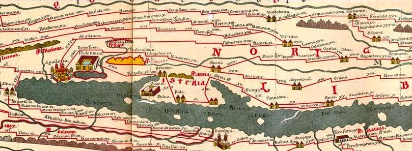
an ancient Roman road connecting Trieste (ancient Tergeste) to Dalmatia
15 km from Plomin Luka
Stays nearby
- Holiday home
 22 km from Plomin Luka
- Holiday home
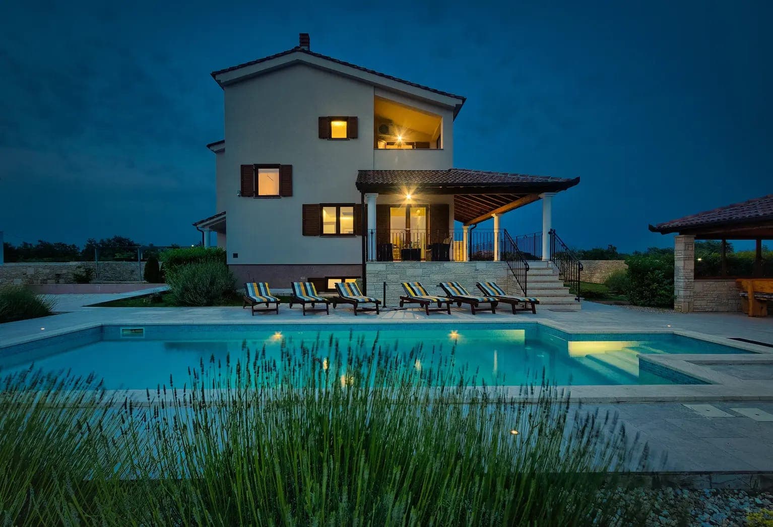 24 km from Plomin Luka
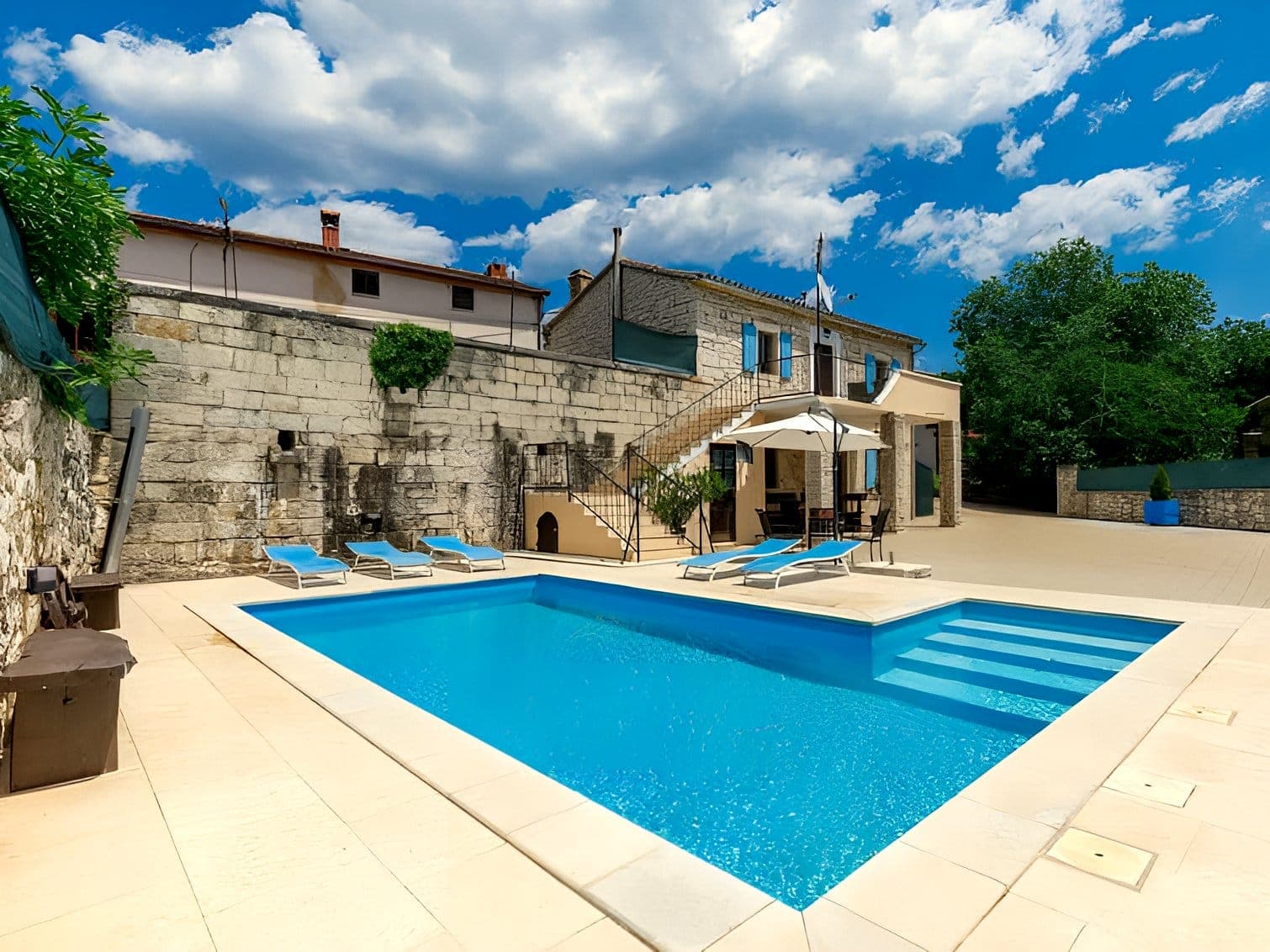
Villa Štokovci – privatni bazen, whirlpool i sportski sadržaji u Istrimor Svetvinčenat
Svetvinčenat
up to 10 guests · 4 bedrooms
from €330 / night
Check availability
Be the first to list here
Guests looking for this place only see stays nearby for now. No commission, and enquiries come straight to you.
List your accommodation
Beaches
Dražice, locally nicknamed Copacabana, is the largest beach in Kršan Municipality, occupying roughly 10,000 square metres of a wooded cove beside Plomin Luka. A 2024 municipal assessment lists benches, children’s play equipment and a beach bar, while also noting the direct view of Plomin power station and periods of busy shipping in the bay. Kršan’s tourist board scheduled a spring clean-up of both the beach and the Plomin Luka seabed in its 2024 programme. Bobina and Brestova are other bathing spots along the Plomin coast, but Bobina lacks road access and facilities, making Dražice the more practical choice from the village itself.
Bathing water quality nearby
- Plominski zaljev - Dražine zapad · 468 mexcellent
- Plominski zaljev - Dražine istok · 680 mexcellent
Source: European Environment Agency (EEA); data from Croatian authorities. · bathing water profile
Things to do
Start along Plomin Bay’s waterfront and walk towards the recently renewed beach area, where the settlement’s connection with its small harbour is clearest. Then climb towards old Plomin, about 500 metres away: the hill looks out over the whole bay, roughly four kilometres long, and Plomin Luka below. In Plomin, seek out the 11th-century church of St George the Old; its wall bears the Plomin Inscription, the oldest known Glagolitic inscription. On the way back to the harbour, notice the contrast between historic Porat and the energy landscape around the power plant, whose chimney rises 340 metres. This short sequence makes sense of a compact area where an ancient harbour, medieval Plomin and modern industry developed within a few minutes’ walk.
Tours and activities
AdAd · partner offers: Viator, GetYourGuideThe partner handles booking, payment and support. StayBravo may earn a commission on bookings made through these links.How we choose offersWe choose offers based on the page you are viewing: the partner destination for this place or the nearest one (with its distance), and on a sight page only offers that mention it. We show offers rated at least 4.3 with at least 10 reviews, without multi-day tours or pure transfers, ordered by rating adjusted for the number of reviews and then by the partner’s order. We do not use data about you, and the commission does not affect the order.GetYourGuide offers are selected and ordered by GetYourGuide based on the name of the nearest larger town or national park; we do not influence their selection and do not use data about you.GetYourGuide · Pazin
We show GetYourGuide offers once you allow their cookies.
Viator
Nearest destination: Central Croatia (1 km)
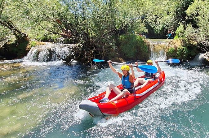
Mreznica Waterfalls Kayaking Adventure Near Plitvice Lakes (opens in a new tab)
Discover the hidden canyon of the Mreznica River, just 30 minutes from Plitvice Lakes. Unlike crowded tourist attractions, this kayaking adventure takes you through crystal-clear water, small…
Rated 5 out of 5 · 147 reviews· 4 h
Free cancellation
from €55
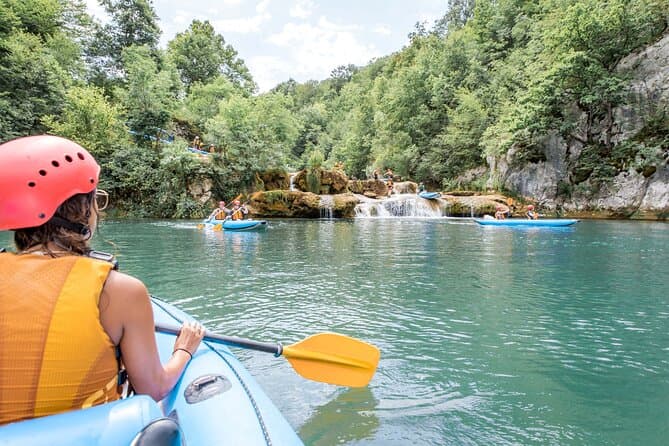
Kayaking at the Mreznica Canyon (opens in a new tab)
Get back to nature on a small-group Mrežnica Canyon kayaking tour (max 16 people vs standard 20+). Enjoy the upper canyon of Mreznica between Primislje and Trzic, the most beautiful part of the…
Rated 5 out of 5 · 184 reviews· 3 h
Free cancellation
from €50
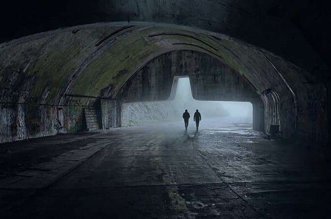
Zeljava Airbase: History and Adventure Tour/Plitvice (opens in a new tab)
Explore the abandoned military complex of Zeljava Airbase with a local guide. Discover its strategic role during the Cold War and its connection to the fall of Yugoslavia. Wander through massive…
Rated 5 out of 5 · 96 reviews· 2 h
Free cancellation
from €50

3,5 hours Guided Buggy Tour in Plitvice lakes (opens in a new tab)
If you like a combination of adrenaline and nature, then Inspiration Resort is the right place for you! We offer you an unforgettable adventure - guided tours on buggy vehicles in the surroundings…
Rated 5 out of 5 · 73 reviews· 3.5 h
Free cancellation
from €129
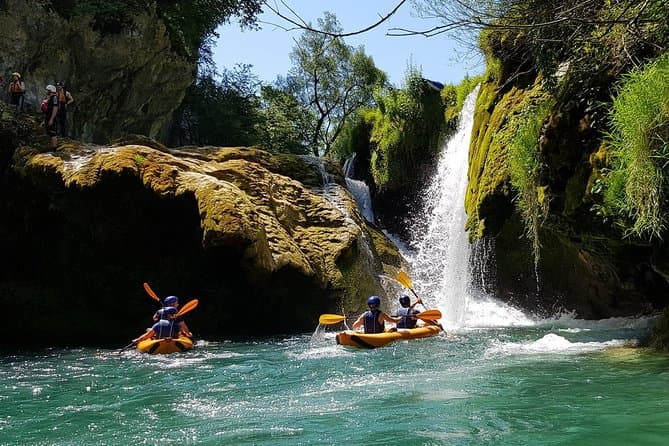
Kayaking Mrežnica river (opens in a new tab)
We’re passing through the most beautiful part of Mrežnica, length of 5 kilometers with abundance of magical places for swimming and recreation. You will pass in total 9 waterfalls and 3 rapids…
Rated 4.9 out of 5 · 171 reviews· 4 h
Free cancellation
from €65
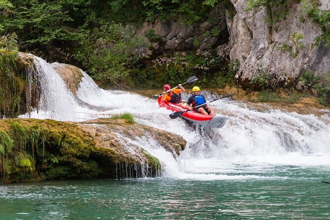
Kayaking in Mreznica Waterfalls near Slunj and Plitvice Lakes (opens in a new tab)
This is a unique opportunity to discover one of the most beautiful rivers in Croatia ho is hidden in the canyon and you can explore her only by kayaking. You'll be able to make amazing memories of…
Rated 5 out of 5 · 56 reviews· 3 h
Free cancellation
from €50
Practical information
Getting there and around
Plomin Luka lies six kilometres southeast of Kršan’s centre, reached through the Plomin area towards the head of the bay. For road navigation, nearby Vozilići is useful: it is a junction connecting routes towards Pula, Pazin, Rijeka, the Učka Tunnel and Plomin Luka. Plomin Luka harbour is managed by the Rabac Port Authority, which lists it among its ports and publishes a separate duty contact for Plomin Luka and Sveta Marina. The settlement is not a passenger-ferry terminal; the crossing to Cres uses Brestova, identified by the Municipality of Kršan as the ferry port for Porozina. Plomin Luka therefore fits most naturally into a self-drive route around eastern Istria, with current conditions checked before departure.
Frequently asked questions
Is Plomin Luka sheltered from wind?
The deep inlet provides strong shelter from southerly weather, but Plomin Luka remains highly exposed to the bora.
Why did Plomin Luka harbour silt up?
After Lake Čepić was drained in 1932, silt reached Plomin Bay through a cut tunnel and gradually filled the pier area and navigable water.
How far is Plomin Luka from old Plomin?
The settlement and harbour are about 500 metres southwest of historic Plomin.
Who manages Plomin Luka harbour?
The harbour is managed by the Rabac Port Authority, which lists Plomin Luka among its ports.
Nearby
Plomin Luka
Open in OpenStreetMap(opens in a new tab)straight-line distance
Related guides

Novigrad
Novigrad-Cittanova developed on Istria’s north-western coast near the mouth of the Mirna, in a maritime setting that shaped centuries of fishing and trade. The historic centre still…
Read the guide
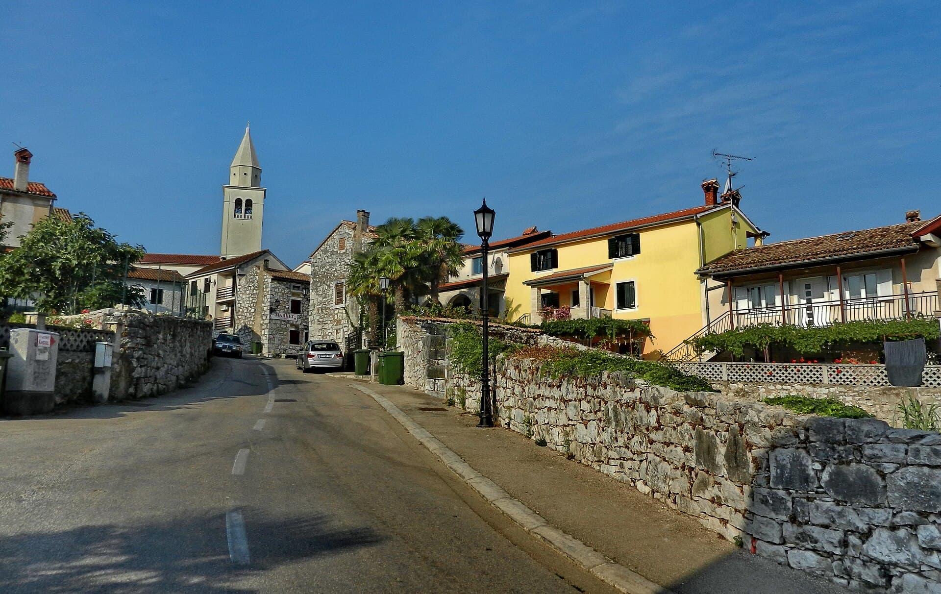
Funtana
Funtana sits on Istria’s west coast along the Poreč–Vrsar road, while its shoreline extends between Zelena Laguna and Valkanela. The local tourist board links the settlement with a long…
Read the guide
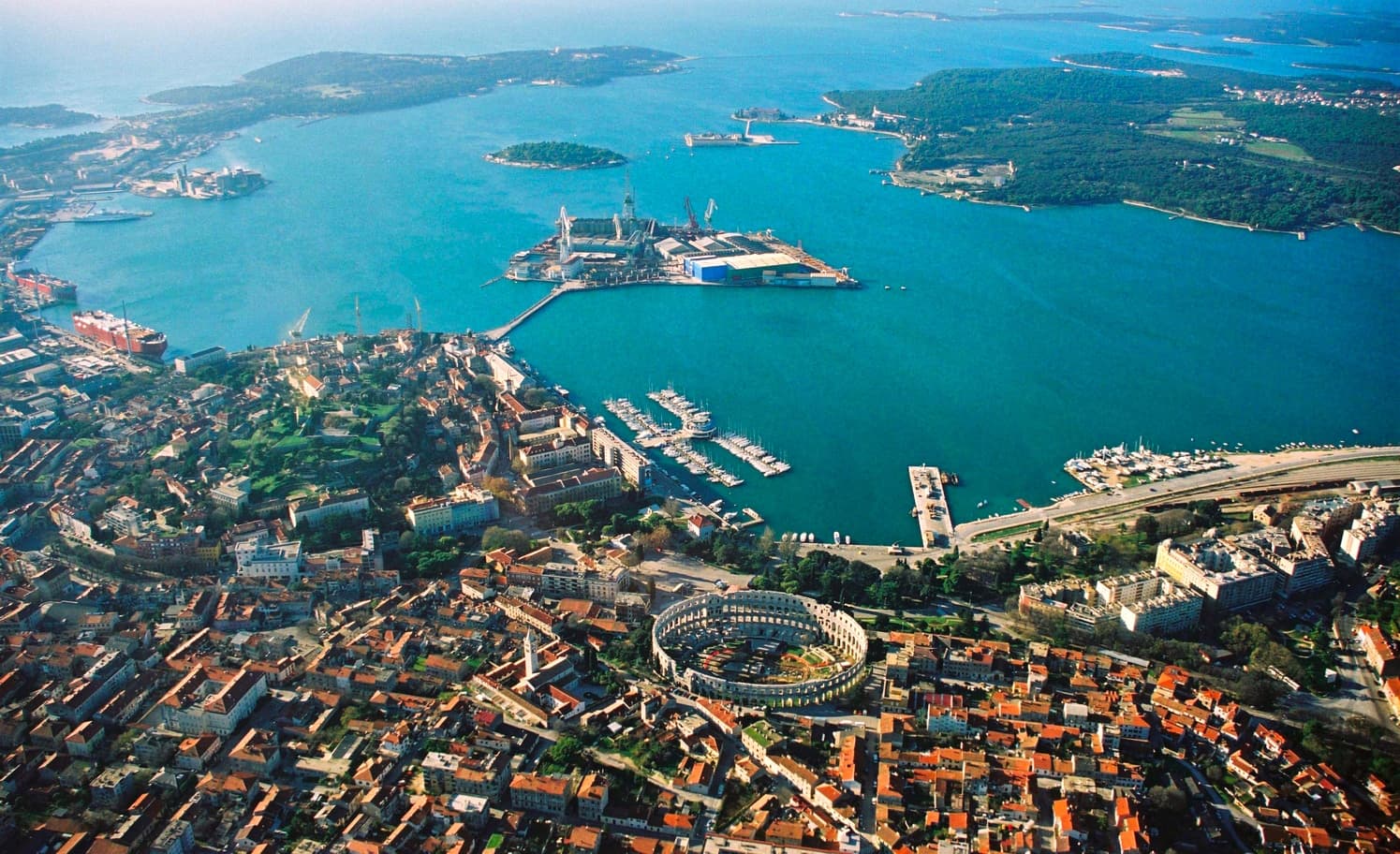
Pula
Central Pula offers two connected but different sightseeing strands. One follows public spaces and visible Roman monuments: the Arena, gates, Forum and temple. The other explores museum…
Read the guide
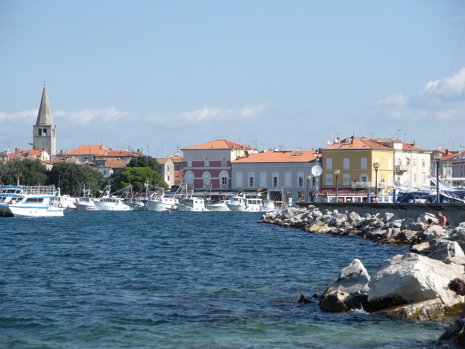
Poreč
Organise the stay around the distinction between the centre and the wider holiday area. In the centre, a cultural visit can form part of a walk, while beaches, excursions and additional…
Read the guide
Know Plomin Luka? Correct us
Tell us in your own words what is not accurate. We check right away.Do not enter personal data. Corrections are checked by the StayBravo AI assistant; changes to the description are approved by an editor. Use the form instead
Do you know Plomin Luka?
Help the guests who come after you.
Help us complete
Nothing is published without an editor’s review.Report illegal content
Photo credits: Plomin Luka — Ex13 (CC BY-SA 3.0) · Plomin — Aconcagua (talk) (CC BY-SA 3.0) · Vozilići — SIG SG 510 (CC0) · Kožljak — Crovata (CC BY-SA 4.0) · Kršan, Kršan Castle — Croq (CC BY-SA 3.0) · Lighthouse Prestenice — Arnoldius (CC BY-SA 3.0) · Via Flavia — IlirikIlirik (CC0) · Belaj Castle — MSmateo (CC BY-SA 4.0) · Holiday House Šterna — Vjekoslav Simon (courtesy of the property owner) · Villa Štokovci – privatni bazen, whirlpool i sportski sadržaji u Istrimor Svetvinčenat — Maks Calic (courtesy of the property owner) · Novigrad — Sl-Ziga (Public domain) · Funtana — Tanya Dedyukhina (CC BY 3.0) · Pula — Orlovic (CC BY-SA 3.0) · Poreč — Hobe / Holger Behr (Public domain)