Runovići
About this place
Runović, also commonly encountered in the older plural form Runovići, lies in Imotsko polje beside the Vrljika River, eleven kilometres south-east of Imotski. The Croatian Encyclopaedia places the settlement at 269 metres above sea level and records 1,706 inhabitants in the 2021 census. Its most important historic layer is the Roman municipium of Novae on the Salona–Narona road; architectural remains, gravestones, altars, gems, fibulae and coins document life from the second to the sixth century. In the modern settlement, the parish Church of Our Lady of Mount Carmel from 1869 stands out, built of dressed stone, together with the small Church of Our Lady of Health from 1894. Runović is inland and has no seaside beach, so a visit is better focused on archaeology, the Vrljika and the landscape of Imotsko polje. Its position only eleven kilometres from Imotski also makes it easy to combine with the town and the famous karst-lake landscape nearby. The Vrljika is the settlement’s main natural axis across the Imotski field.
Runović is a municipal centre in Imotsko polje beside the Vrljika, eleven kilometres south-east of Imotski. Although the modern settlement is small, its history includes the Roman municipium of Novae on the Salona–Narona road, with finds spanning the second to sixth centuries. The parish Church of Our Lady of Mount Carmel, built from dressed stone in 1869, is a visible landmark of present-day Runović, while the smaller Church of Our Lady of Health dates from 1894. The Vrljika and the agricultural landscape of Imotsko polje, rather than a sea coast, define the setting and distinguish Runović from Dalmatian resort settlements on the Adriatic.
Things to see
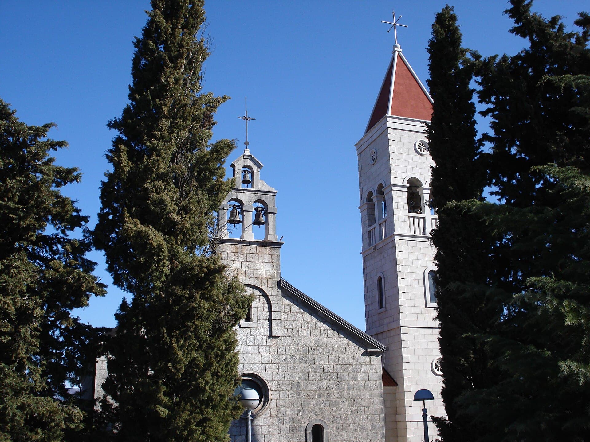
Crkva Svih Svetih u Zmijavcima
Landmark · Zmijavci
The Parish Church of All Saints in Zmijavci is a single-nave stone church from 1895, built on the foundations of an older church.
3 km from Runovići

 Nature park
Stays further afield
- Apartment
 39 km from Runovići
- Apartment
 49 km from Runovići
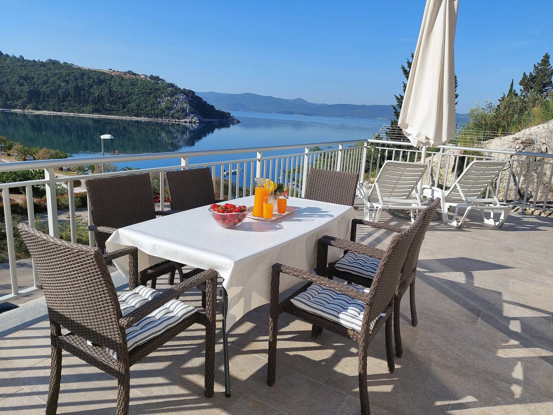
Apartman Frana DeLux - prvi red do mora, plaža 20 m
Opuzen
up to 6 guests · 2 bedrooms
from €100 / night
Check availability
- Apartment
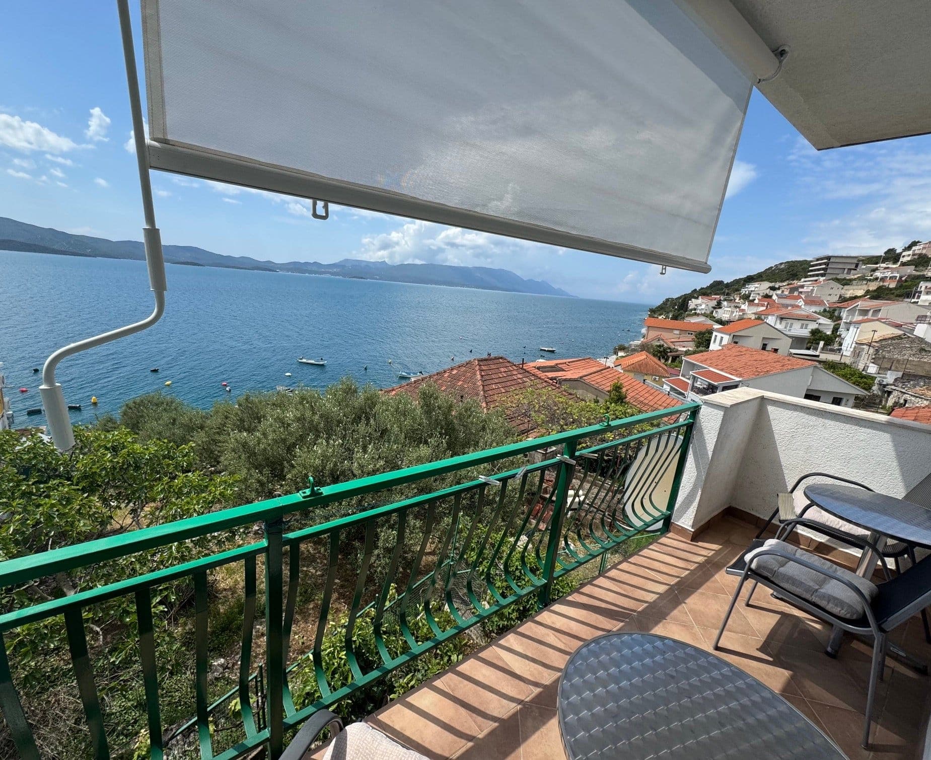 55 km from Runovići
- Apartment
 64 km from Runovići
- Apartment
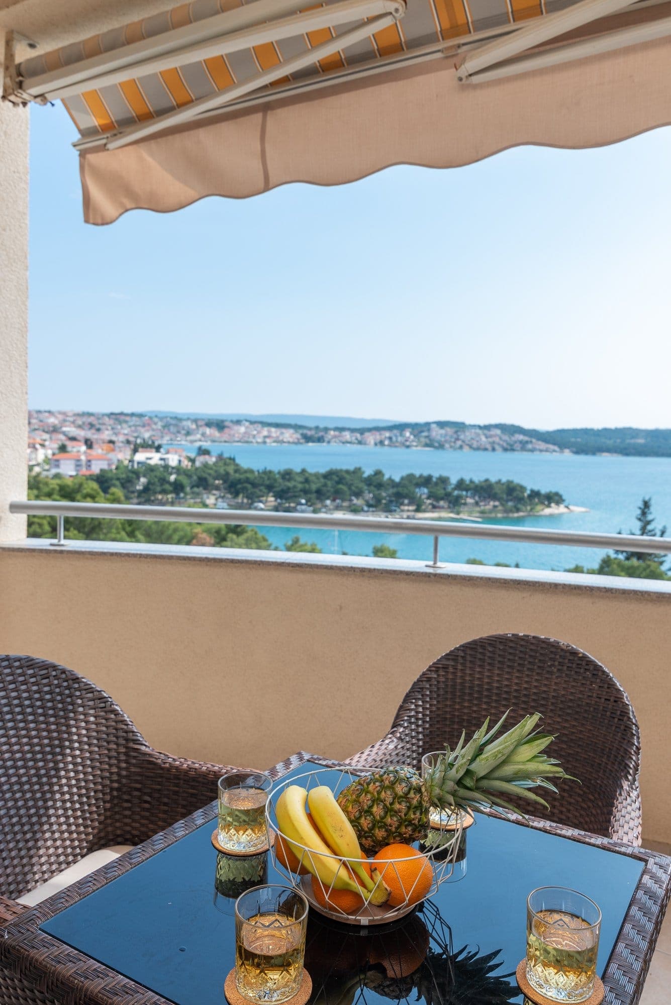 79 km from Runovići
- Apartment
 Žaborić · 107 km from Runovići
- Apartment
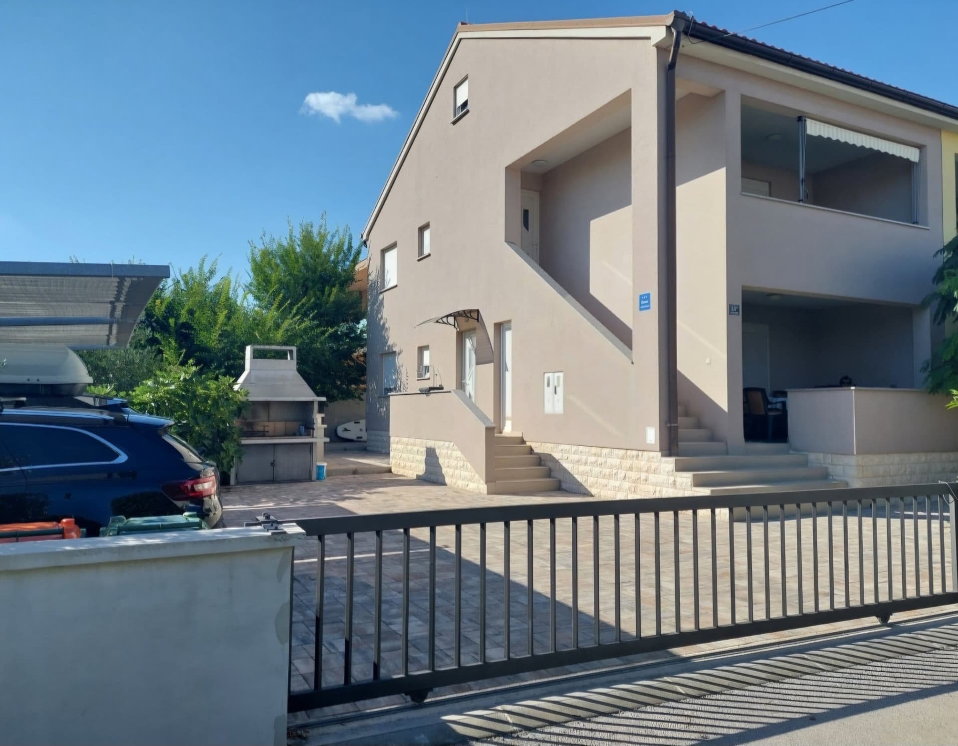 Tribunj · 126 km from Runovići
- Apartment
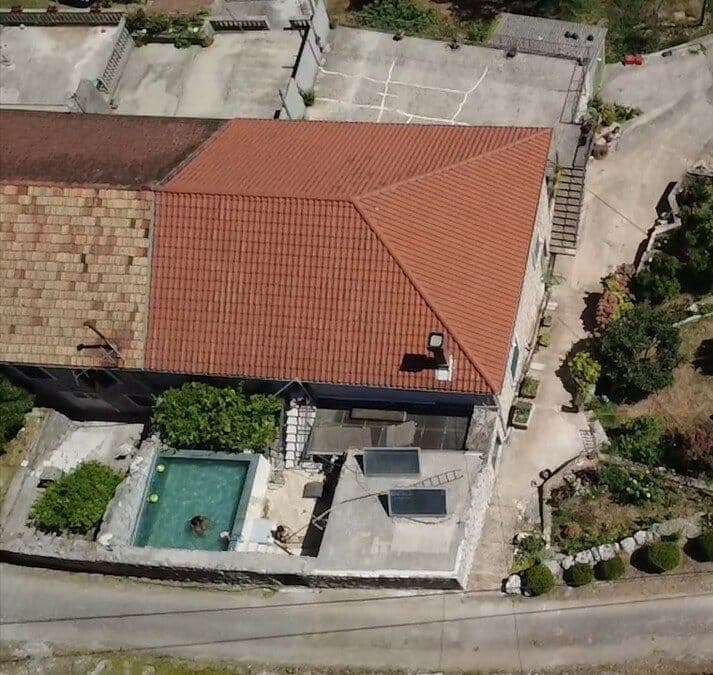 Gruda, Konavle · 134 km from Runovići
Be the first to list here
Guests looking for this place only see stays nearby for now. No commission, and enquiries come straight to you.
List your accommodation
Beaches
Runović has neither a seafront nor a developed marine beach: it stands in Imotsko Polje at 269 metres above sea level, eleven kilometres south-east of Imotski. The Vrljika flows beside the settlement, but reference works associate this watercourse with the river landscape and fishing rather than an organised bathing area. Its riverside setting is valuable for exploring Imotsko Polje, yet Runović should not be treated as a coastal destination. A day of sea swimming needs to be arranged as a separate road trip beyond the village, while Runović itself is visited for the Roman site of Novae and its rural scenery beside the river.
Things to do
In Runović, a useful starting point is the parish Church of Our Lady of Mount Carmel because ancient stone material from the Novae area is connected with the church and cemetery setting. The visit can then move towards the Vrljika landscape running through Imotsko polje beside the settlement. Archaeological context matters more here than a conventional museum visit: the Croatian Encyclopaedia records architectural remains, gravestones, altars, gems, fibulae and coins dating from the second to sixth centuries. As Imotski is only eleven kilometres away, Runović can be incorporated easily into the same day trip as the town and its well-known karst lakes.
Tours and activities
AdAd · partner offers: Viator, GetYourGuideThe partner handles booking, payment and support. StayBravo may earn a commission on bookings made through these links.How we choose offersWe choose offers based on the page you are viewing: the partner destination for this place or the nearest one (with its distance), and on a sight page only offers that mention it. We show offers rated at least 4.3 with at least 10 reviews, without multi-day tours or pure transfers, ordered by rating adjusted for the number of reviews and then by the partner’s order. We do not use data about you, and the commission does not affect the order.GetYourGuide offers are selected and ordered by GetYourGuide based on the name of the nearest larger town or national park; we do not influence their selection and do not use data about you.Viator
Nearest destination: Makarska (19 km)
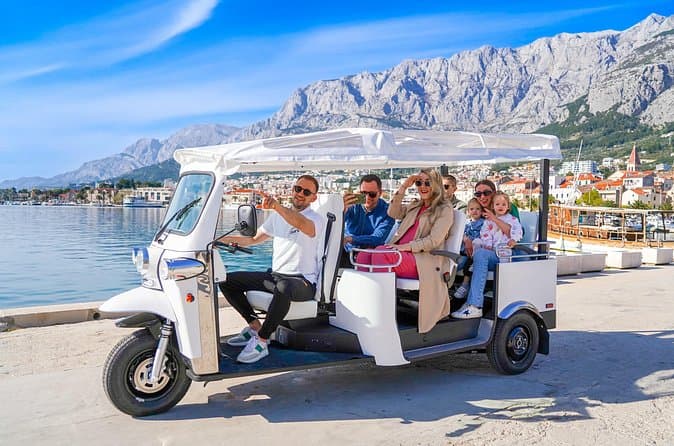
Makarska: Skywalk Tour with a Tuk Tuk - Skip the line ticket (opens in a new tab)
Skywalk – A walkway made of glass at the edge of a cliff; 1.228 m above sea level. One of the most photogenic places in Croatia Tour Guide EN/DE/HR Take a scenic ride in an open Tuk Tuk through…
Rated 5 out of 5 · 629 reviews· 2.5 h
Free cancellation
from €59
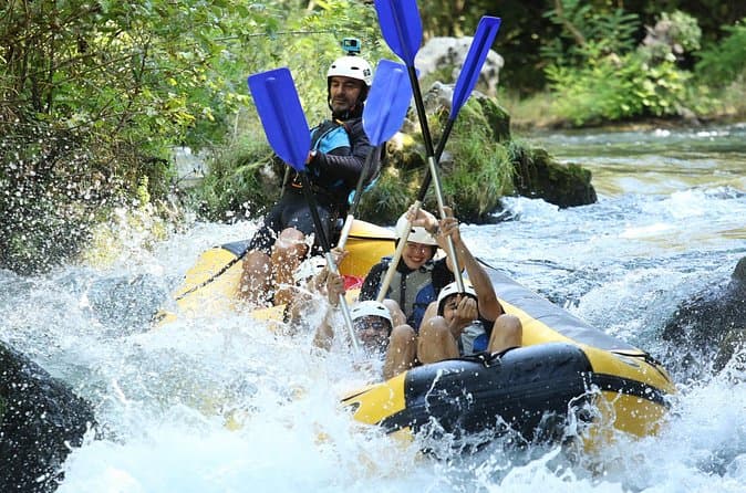
River Rafting from Split- Cliff Jumping- Cave Visit (opens in a new tab)
Experience a thrilling blend of exhilarating rafting and captivating activities on the Cetina River for an all-encompassing adventure. Led by a seasoned local guide with over 10 years of expertise…
Rated 5 out of 5 · 178 reviews· 6 h
Free cancellation
from €40
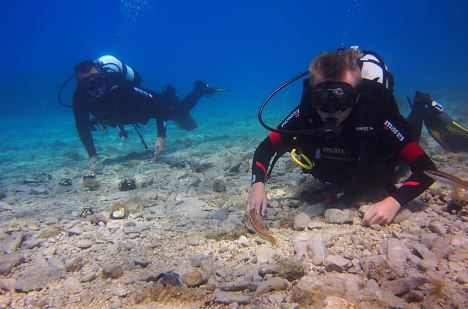
BRELA Bikini Dive *Try SCUBA DIVING* (opens in a new tab)
Almost everywhere Try Scuba Dive is done in large groups and with duration of max 30min. Before that often you will travel for 1 hour on overcrowded boat and wait for your turn to go underwater even…
Rated 5 out of 5 · 103 reviews· 2 h
Free cancellation
from €134

Private Blue Cave Tour from Split, Brač, Trogir and Hvar (opens in a new tab)
The private version of our Blue Cave tour is more than just a boat trip – it’s a fully customized Adriatic adventure designed to match your pace, preferences, and travel style. ⚓ What’s Included: •…
Rated 5 out of 5 · 51 reviews· 10 h
Free cancellation
from €1,500
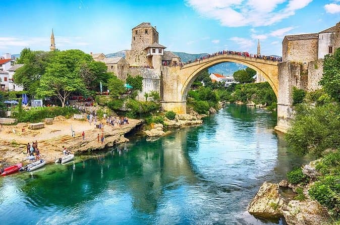
Mostar and Kravice Waterfalls Day Tour from Dubrovnik (opens in a new tab)
Our English-speaking tour guide will make sure your day is interesting, informative, and enjoyable. You will discover a new country, its culture, traditions, and history. The day starts with a…
Rated 4.8 out of 5 · 1,427 reviews· 11 h
Free cancellation
from €45
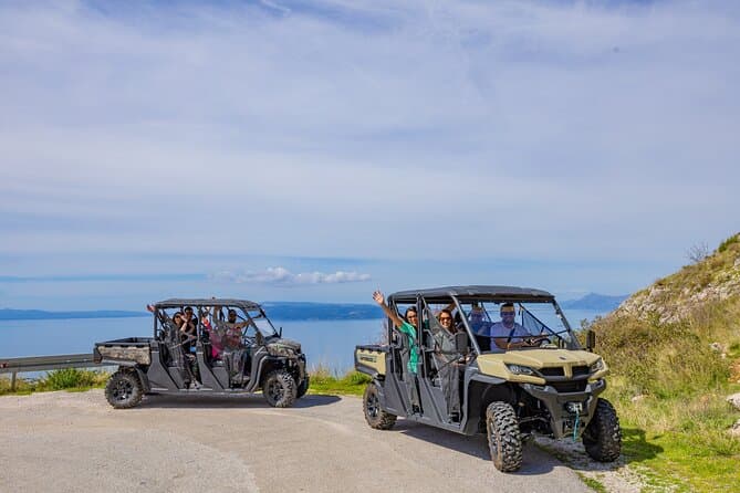
Makarska: Baggy Skywalk & Biokovo viewpoint Tour (opens in a new tab)
We are your ticket to an incredible adventure on the Makarska Riviera. If you're looking for an unforgettable experience, our Skywalk tour in the Biokovo Nature Park is the perfect choice.As the…
Rated 4.9 out of 5 · 71 reviews· 4 h
Free cancellation
from €59
GetYourGuide · Makarska
We show GetYourGuide offers once you allow their cookies.
Practical information
Getting there and around
Runović lies eleven kilometres south-east of Imotski, so road access is most straightforward through Imotski and local roads across the Imotski field. The Croatian Encyclopaedia places the settlement beside the Vrljika at 269 metres above sea level in the inland Dalmatian hinterland. Its position makes it easy to combine Runović and Imotski in one day without a long intercity transfer. Historically, the area was already connected by the Roman Salona–Narona road, beside which the municipium of Novae developed. Modern movement through the village therefore follows the road network across the Imotski field and the local landscape along the Vrljika.
Frequently asked questions
Is Runović on the coast?
No. Runović is an inland settlement in Imotsko polje, 11 km south-east of Imotski.
What was Roman Novae at Runović?
Novae was a Roman municipium on the Salona–Narona road, with finds dating from the second to sixth centuries.
When was the Church of Our Lady of Mount Carmel built?
The parish Church of Our Lady of Mount Carmel in Runović was built in 1869 from dressed stone.
Nearby
Runovići
Open in OpenStreetMap(opens in a new tab)Smaller places
straight-line distance
Related guides
Split
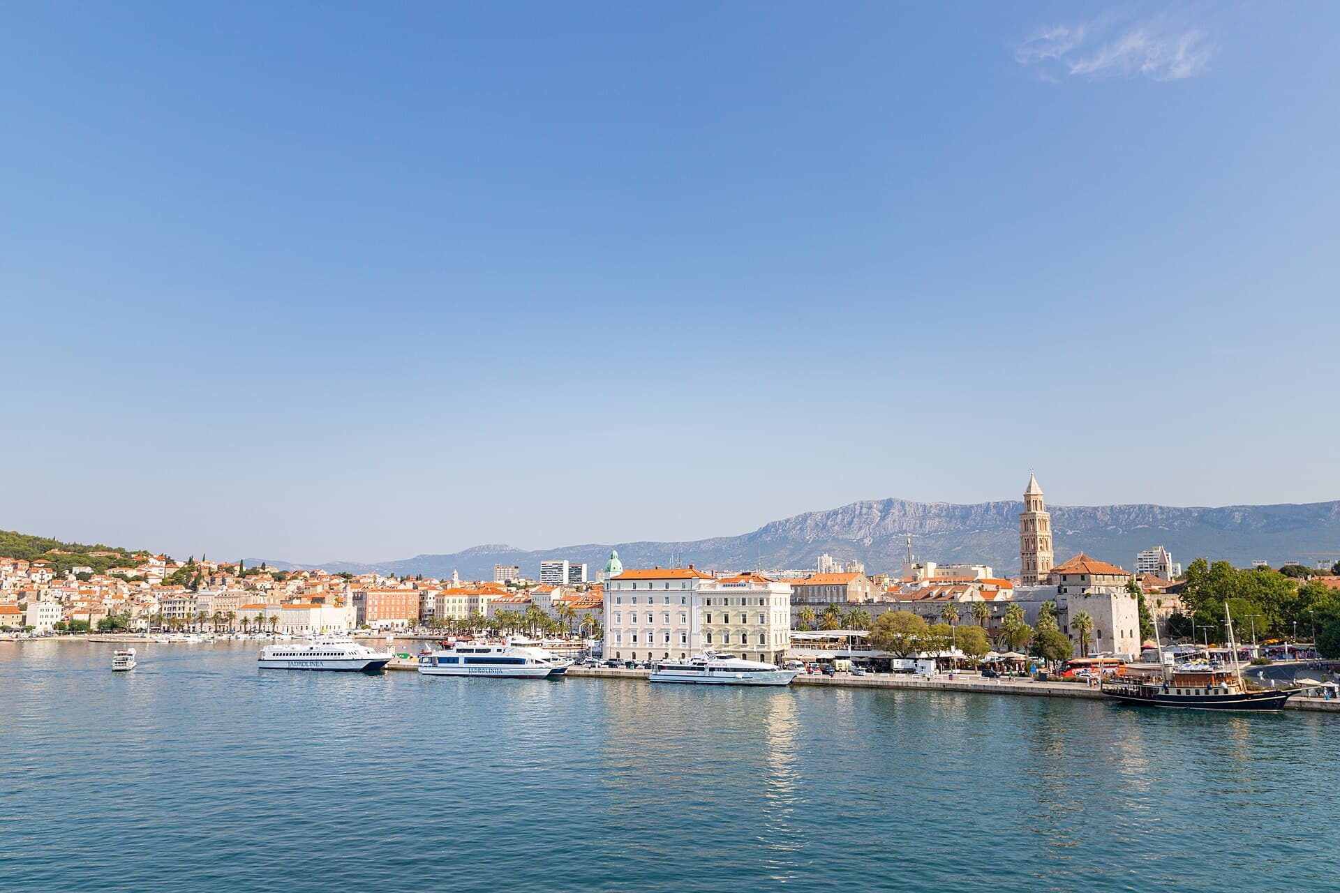
In Split, the transition from ancient monument to ordinary street is almost imperceptible: entering the southern part of Diocletian’s Palace from the Riva leads towards the Peristyle, then…
Read the guide

Baška Voda
Baška Voda lies in the western part of the Makarska Riviera directly below the Biokovo massif. Once a fishing and seafaring settlement, it developed into a resort whose centre remains…
Read the guide
Podstrana
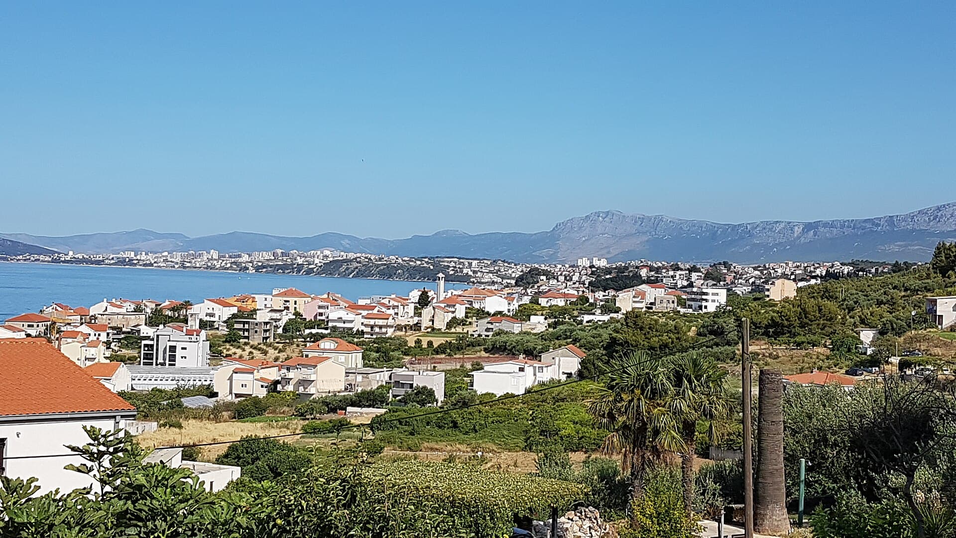
Podstrana is made up of five settlements. The oldest is Gornja Podstrana, set 290 to 340 metres above sea level beneath Perun, while Strožanac, Grljevac, Sveti Martin and Mutogras follow…
Read the guide

Brela
Brela is a municipal seat at the northern end of the Makarska littoral, about 15 km northwest of Makarska, on the Adriatic Highway and in a belt of pine forest at the foot of Biokovo. The…
Read the guide
Know Runovići? Correct us
Tell us in your own words what is not accurate. We check right away.Do not enter personal data. Corrections are checked by the StayBravo AI assistant; changes to the description are approved by an editor. Use the form instead
Do you know Runovići?
Help the guests who come after you.
Help us complete
Nothing is published without an editor’s review.Report illegal content
Photo credits: Zmijavci, Baška Voda — Mario Žamić (CC BY-SA 3.0) · Grubine — Epetama (CC BY-SA 4.0) · Topana, Biokovo Nature Park — Martin Brož (CC BY 3.0) · Prološko blato — Branko Čović (CC BY-SA 2.0) · Villa Sara — Sara Stanic (courtesy of the property owner) · Apartman Frana DeLux - prvi red do mora, plaža 20 m — Ivan Mador (courtesy of the property owner) · Apartmani Stella — Zvjezdana Bebić (courtesy of the property owner) · In The Palace — Partner (courtesy of the property owner) · Apartman Anđela — Mirjana Rapić (courtesy of the property owner) · Dalma Residence — Marin Radić (courtesy of the property owner) · APARTMAN COTA — Jadranka Cota (courtesy of the property owner) · Apartman Cypress — Jelena Pecar (courtesy of the property owner) · Split — dronepicr (CC BY 2.0) · Podstrana — Romanm (CC BY-SA 4.0) · Brela — Josip-Pino Žamić (CC BY-SA 4.0)