About this place
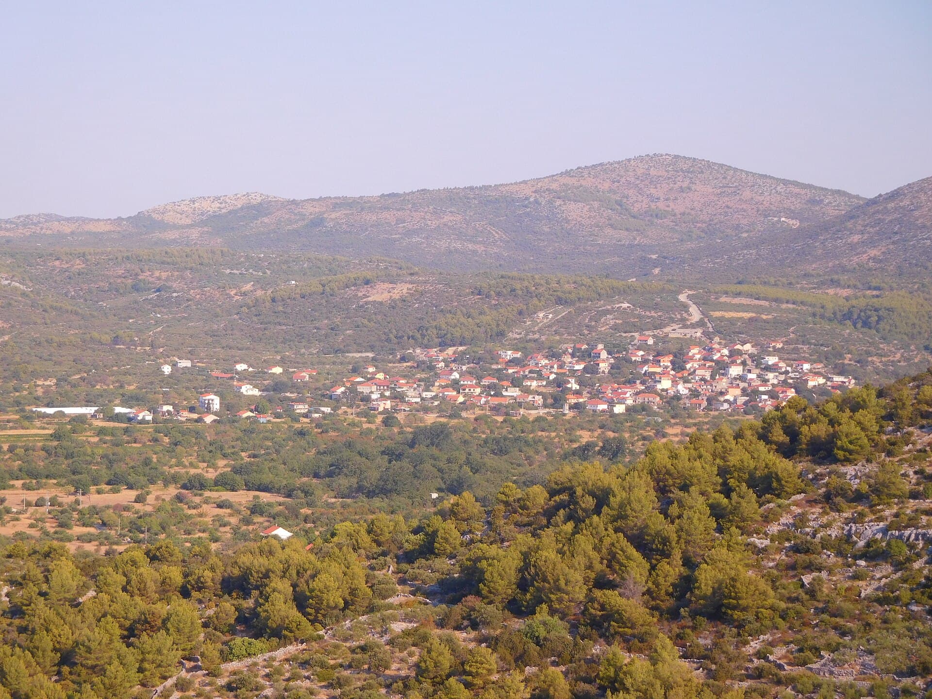
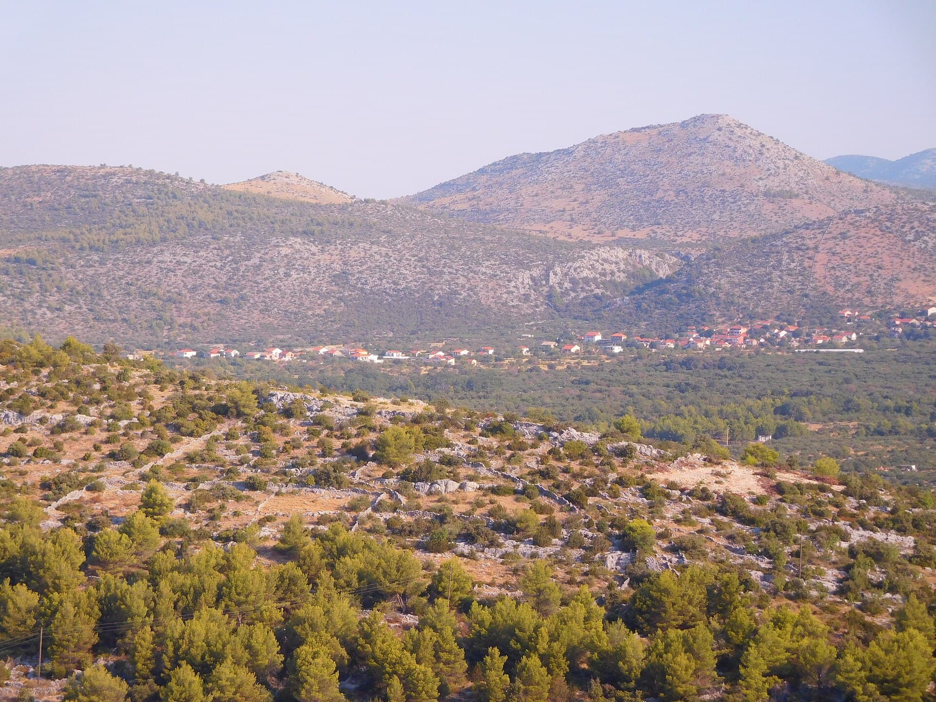
Marina lies eight kilometres west of Trogir at the head of the bay that shares its name, directly beside the Adriatic coastal road. Its defining landmark is the Renaissance defensive tower built around 1500 on the order of Trogir bishop Marcello to protect local residents from Ottoman raids. The tower was repaired several times in later centuries and still dominates the waterfront. Other historic sites include the parish Church of St James, the Gothic-Renaissance Church of St John and the Gothic Church of St Luke, so Marina’s heritage is not limited to one fortification. The wider municipality stretches between Seget and Rogoznica and includes coastal settlements such as Vinišće, Sevid and Poljica. Marina also has a small yacht harbour, while the indented coast around Vinišće and Sevid contains a series of coves away from the main road. Trogir provides an easy cultural excursion to the east, while the coast toward Rogoznica begins soon to the west. Marina therefore works well as a quieter base between two more prominent Dalmatian centres.
Marina combines the atmosphere of a fishing settlement with a sheltered natural harbour and a sailing base beside the D8 coastal road. The historic Kaštil anchors the waterfront, while Marina Agana’s berths occupy the protected inner reaches of Marina Bay. The wider municipality extends well beyond the main village, taking in Poljica, Vinišće and the indented coves around Sevid, which makes Marina a useful base for exploring by road or small boat. Within the village itself, the clearest contrast is between the older centre around Stjepana Radića Square and the Prališće waterfront, where much of Marina’s summer activity gathers beside the sea.
Stays nearby
 Apartment
Apartmeni Klenovica.eu
Klenovica
Klenovica, 203 km from Marina
up to 4 guests · 1 bedroom
The host confirms the exact price for your dates and availability.
Things to see
The Renaissance tower on the waterfront is Marina’s essential landmark and the clearest way to understand the settlement’s defensive history. Trogir bishop Marcello ordered its construction around 1500 together with fortifications intended to protect residents during Ottoman incursions; the tower was repaired again in 1657 and 1717. Elsewhere in the village, look for the parish Church of St James and the smaller churches of St John and St Luke. Marina is also historically linked with Drid, an older name for this district, which appears in records connected with a medieval county and possessions of Croatian rulers.

Beaches
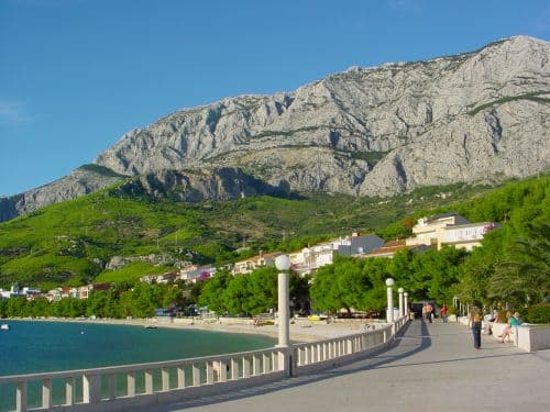
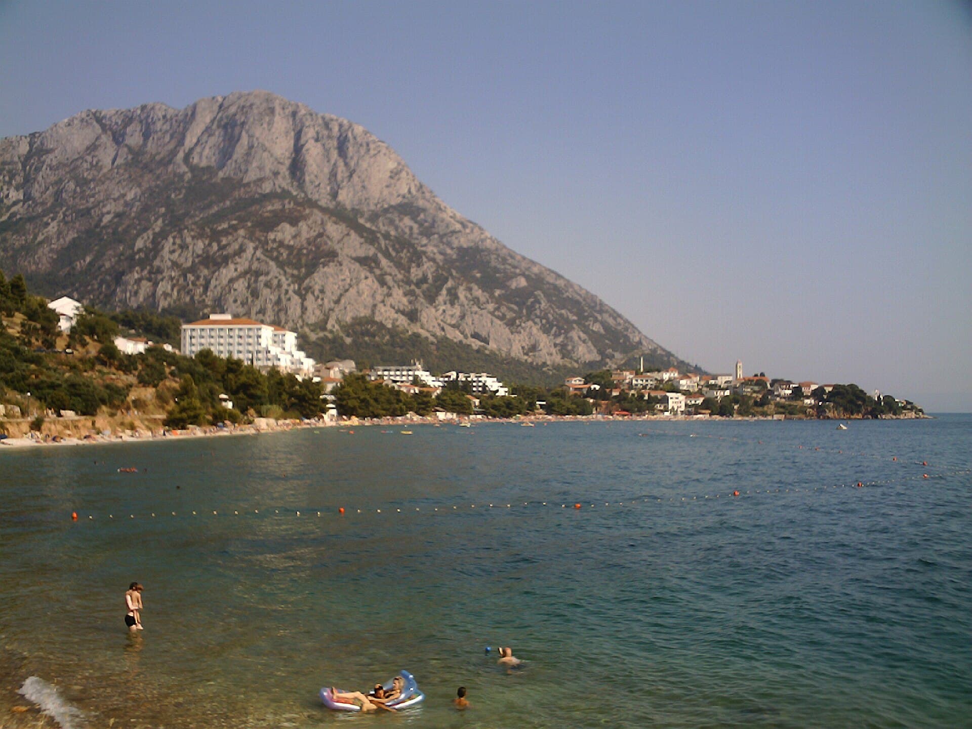
Prališće is Marina’s principal developed bathing spot. Its official profile describes a mainly pebble shore with some concrete sections, trees behind the beach and a floating safety line offshore. It measures roughly 150 metres by 20 metres, while the gently sloping seabed allows a more gradual entry into the water. The same profile records no parking at the monitored beach location, so walking from central Marina is usually more convenient. For a different setting, move to Tunjara beach: municipal documents place a large public car park there, whereas Prališće is the designated location for seasonal food service and rentals of paddleboards, pedal boats and other small craft.
Bathing water quality nearby
- Prališće · 851 mexcellent · season 2025
- Marina-Plaža · 960 mexcellent · season 2025
- Poljica · 2.3 kmexcellent · season 2025
Source: European Environment Agency (EEA); data from Croatian authorities. · bathing water profile
Things to do
Begin beside the Kaštil and follow the waterfront around the harbour, the best place to understand how the old settlement relates to its deeply sheltered bay. After a short loop through Stjepana Radića Square, continue to Prališće, an approximately 150-metre pebble beach with a gently shelving seabed. The afternoon can be more active: Marina’s coastal-management plan provides for rentals of paddleboards, pedal boats and similar craft on the eastern side of the Prališće breakwater. Return to the village centre in the evening, where Konoba Kod Duje and Restaurant TABU stand on neighbouring addresses around the square, allowing dinner without another trip by car.
Food and drink
For dinner in central Marina, the most convenient cluster surrounds Stjepana Radića Square: the tourist board lists Restaurant TABU at number 11, Konoba Kod Duje at number 10 and Luka i Lora at number 2. Pet Ferala stands on Obala kardinala Alojzija Stepinca, while La Barca is on Dr Franje Tuđmana Street. Marina’s distinctive sweet choices include fritule and prešurate, an old, modest pancake-like dessert specifically associated with local kitchens by the tourist board. Travellers willing to dine outside the village can continue to Vinišće, where the official directory includes Kupinica, Konoba Porat, Kaktus and Mastrinka.
Practical information
Practical information
Marina’s tourist office is at Dr Franje Tuđmana 3A; its official contact details are +385 21 889 015 and [email protected]. Prališće has no parking at the official monitoring point, so bathers should expect a short walk or use the larger parking area near Tunjara. Split Airport is about 15 kilometres away, although reaching Marina by public transport requires a bus towards Trogir and a change for the local connection. Sailors have Marina Agana inside the sheltered bay, while scheduled island ferries depart from Trogir or Split rather than Marina’s waterfront. This distinction matters when planning a boat excursion without a private or chartered vessel.
Parking
A 2024 Municipality of Marina notice divided temporary paid public parking in Marina into three zones. Zone one covers Obala kardinala Alojzija Stepinca, Ribarska Poljana, Trg Stjepana Radića and Dr. Franje Tuđmana Street. Zone two includes the Mandrača car park and the area around the cemetery and boat-slip in Put Vice Cvitanovića Street. Zone three is the Plaža Tunjara car park on Put Tunjare. The published charging period ran from 1 June to 31 October, daily from 7am to midnight.
Getting there and around
Marina lies on the D8 coastal highway west of Trogir, making the Trogir–Rogoznica road the direct approach by car. The local tourist board places Split Airport about 15 kilometres away and Split railway station roughly 40 kilometres from the village. From the airport, passengers can take Promet route 37 to Trogir and change there for a local service towards Marina; current departures should be checked in Promet’s timetable. For an island connection, Jadrolinija route 606 links Trogir’s Soline harbour with Drvenik Mali and Drvenik Veli, so Marina visitors first travel back to Trogir rather than looking for a scheduled ferry in Marina itself.
Frequently asked questions
Why was Marina’s tower built directly on the waterfront?
It was built around 1500 as part of the local defence against Ottoman incursions in the Trogir district.
How far is Trogir from Marina?
The Croatian Encyclopedia places Marina about eight kilometres west of Trogir.
Which churches are worth seeing in Marina besides the tower?
The parish Church of St James and the churches of St John and St Luke are the main historic churches in the settlement.
Where can you find quieter coves in Marina municipality?
Vinišće and Sevid have a more indented shoreline and smaller coves away from central Marina.
Related guides

Split
In Split, the transition from ancient monument to ordinary street is almost imperceptible: entering the southern part of Diocletian’s Palace from the Riva leads towards the Peristyle, then…
Read the guide

Help improve this page
Spot something missing or wrong? Suggest a correction, add your photo or report a problem. Editors review every suggestion before it is published.