
Brela (naselje)
At a glance
Brela (naselje)
Larger towns nearby
Open in OpenStreetMap(opens in a new tab)- Region
- Dalmatia – Split
- Municipality
- Brela
- County
- Splitsko-dalmatinska županija
- Coordinates
- 43.369° N, 16.933° E
The guide for this place is still being written
Here is where it is and what is nearby. Know the place? Tell us what to add.
Suggest a correctionThings to see

Church St.Nicholas
Landmark · Baška Voda
An 1889 neo-Romanesque church on the Baška Voda waterfront, known for its stained glass by Josip Botteri Dini and its stone altars.
2 km from Brela (naselje)
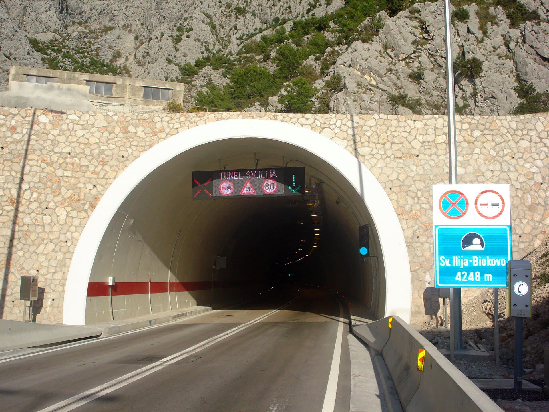

Crkva Uznesenja BDM u Bastu
Landmark · Bast, Baška Voda
The Church of the Assumption of the Blessed Virgin Mary in Bast is the present parish church, built in 1763 on the foundations of an earlier church.
4 km from Brela (naselje)
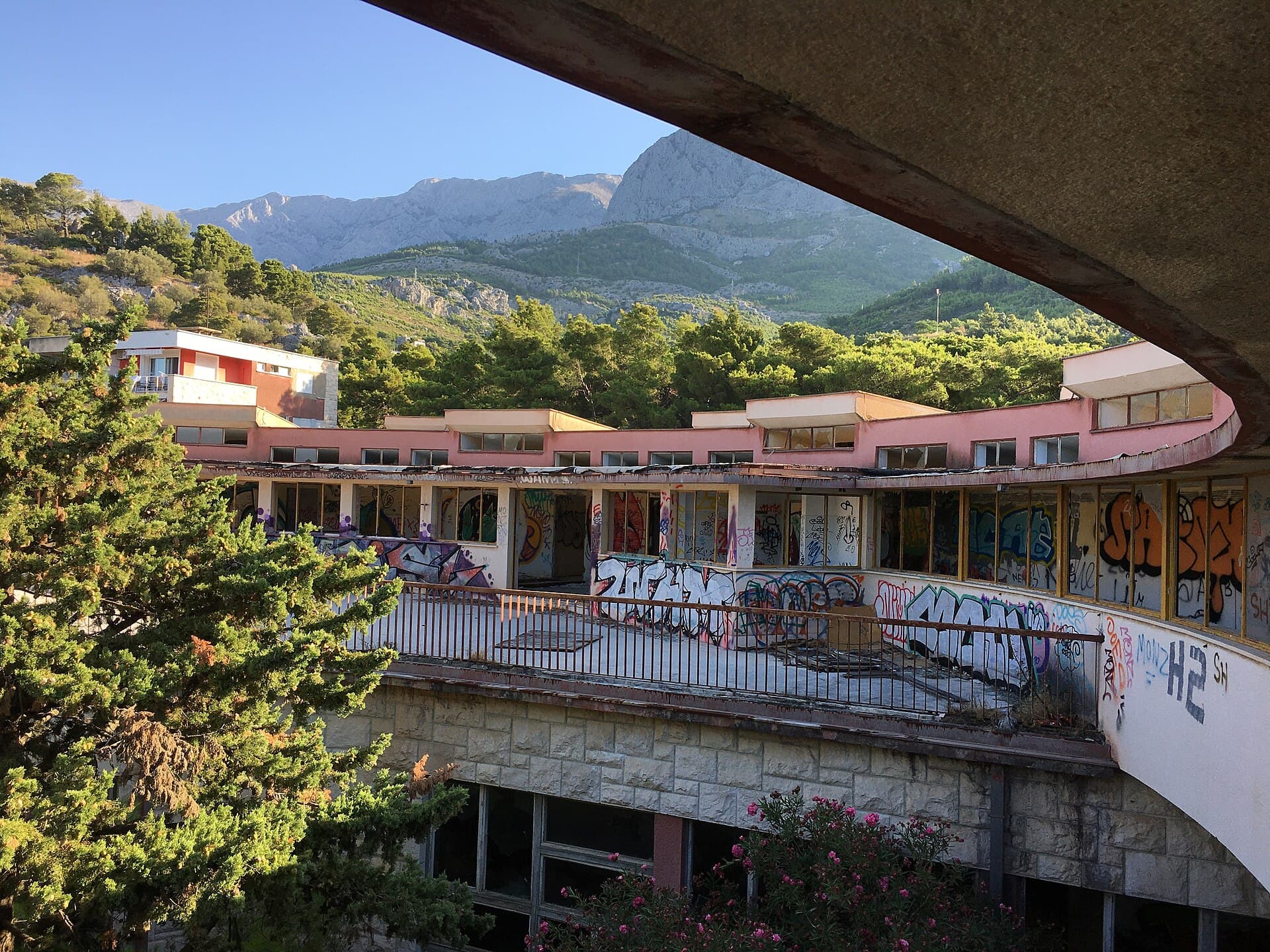
Krvavica (sanatorium building)
Attraction · Krvavica, Baška Voda
former sanatorium for children recovery and later more general and health resort complex (was established in 1960s by the army SFR Yugoslavia)
7 km from Brela (naselje)
Stays nearby
- Apartment
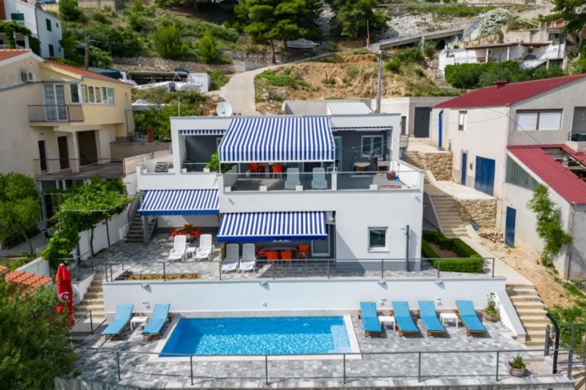 17 km from Brela (naselje)
Be the first to list here
Guests looking for this place only see stays nearby for now. No commission, and enquiries come straight to you.
List your accommodation
Beaches
Bathing water quality nearby
- Soline Istok · 270 mexcellent
- Soline Zapad · 404 mexcellent
- Dugi Rat - istok · 791 mexcellent
- Berulia · 829 mexcellent
- Dugi Rat - zapad · 932 mexcellent
- Ikovac · 1.1 kmexcellent
Source: European Environment Agency (EEA); data from Croatian authorities. · bathing water profile
Tours and activities
GetYourGuide · Makarska
We show GetYourGuide offers once you allow their cookies.
Viator
Nearest destination: Makarska (11 km)

Makarska: Skywalk Tour with a Tuk Tuk - Skip the line ticket (opens in a new tab)
Skywalk – A walkway made of glass at the edge of a cliff; 1.228 m above sea level. One of the most photogenic places in Croatia Tour Guide EN/DE/HR Take a scenic ride in an open Tuk Tuk through…
Rated 5 out of 5 · 629 reviews· 2.5 h
Free cancellation
from €59
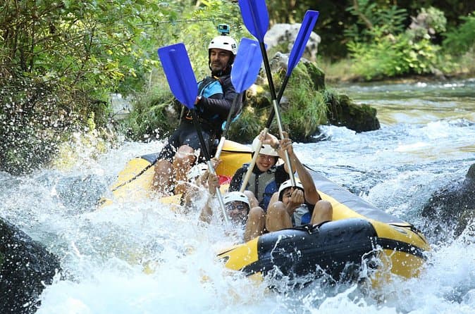
River Rafting from Split- Cliff Jumping- Cave Visit (opens in a new tab)
Experience a thrilling blend of exhilarating rafting and captivating activities on the Cetina River for an all-encompassing adventure. Led by a seasoned local guide with over 10 years of expertise…
Rated 5 out of 5 · 178 reviews· 6 h
Free cancellation
from €40
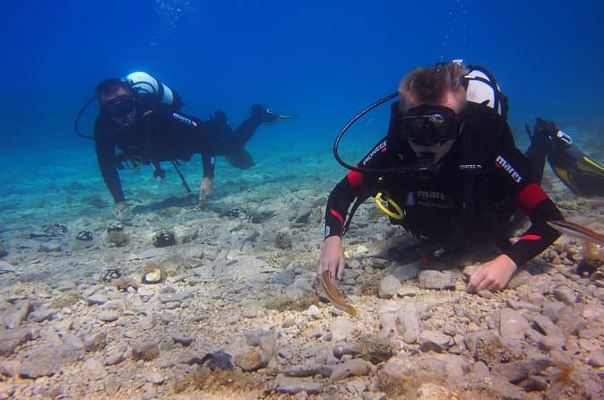
BRELA Bikini Dive *Try SCUBA DIVING* (opens in a new tab)
Almost everywhere Try Scuba Dive is done in large groups and with duration of max 30min. Before that often you will travel for 1 hour on overcrowded boat and wait for your turn to go underwater even…
Rated 5 out of 5 · 103 reviews· 2 h
Free cancellation
from €134

Private Blue Cave Tour from Split, Brač, Trogir and Hvar (opens in a new tab)
The private version of our Blue Cave tour is more than just a boat trip – it’s a fully customized Adriatic adventure designed to match your pace, preferences, and travel style. ⚓ What’s Included: •…
Rated 5 out of 5 · 51 reviews· 10 h
Free cancellation
from €1,500
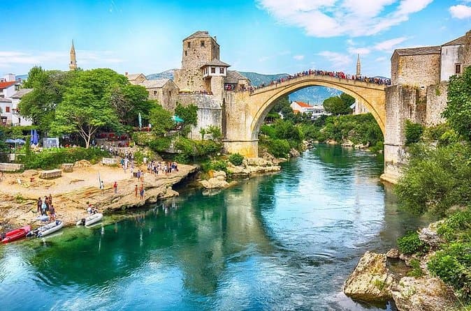
Mostar and Kravice Waterfalls Day Tour from Dubrovnik (opens in a new tab)
Our English-speaking tour guide will make sure your day is interesting, informative, and enjoyable. You will discover a new country, its culture, traditions, and history. The day starts with a…
Rated 4.8 out of 5 · 1,427 reviews· 11 h
Free cancellation
from €45
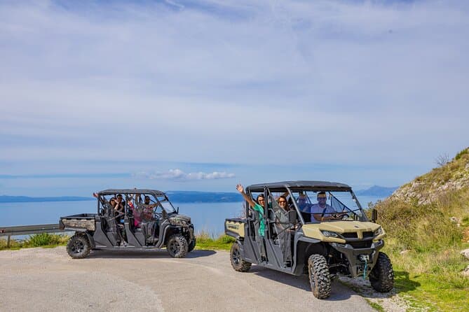
Makarska: Baggy Skywalk & Biokovo viewpoint Tour (opens in a new tab)
We are your ticket to an incredible adventure on the Makarska Riviera. If you're looking for an unforgettable experience, our Skywalk tour in the Biokovo Nature Park is the perfect choice.As the…
Rated 4.9 out of 5 · 71 reviews· 4 h
Free cancellation
from €59
Nearby
Smaller places
straight-line distance
Related guides
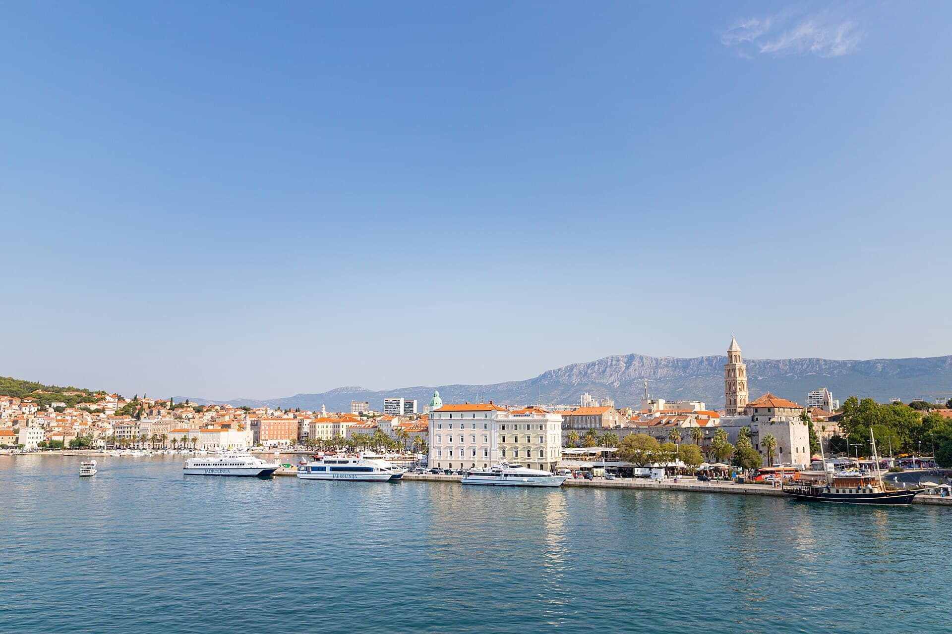
Split
In Split, the transition from ancient monument to ordinary street is almost imperceptible: entering the southern part of Diocletian’s Palace from the Riva leads towards the Peristyle, then…
Read the guide

Baška Voda
Baška Voda lies in the western part of the Makarska Riviera directly below the Biokovo massif. Once a fishing and seafaring settlement, it developed into a resort whose centre remains…
Read the guide
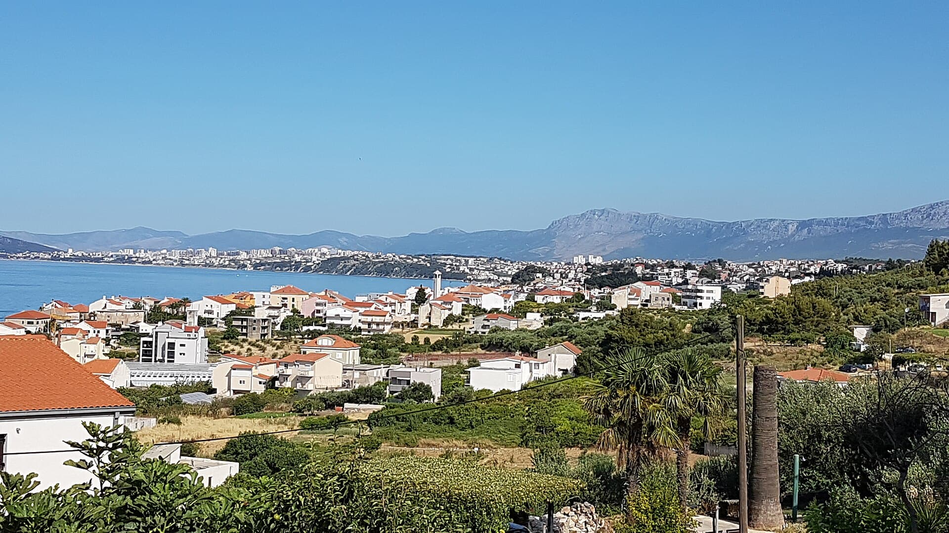
Podstrana
Podstrana is made up of five settlements. The oldest is Gornja Podstrana, set 290 to 340 metres above sea level beneath Perun, while Strožanac, Grljevac, Sveti Martin and Mutogras follow…
Read the guide

Brela
Brela is a municipal seat at the northern end of the Makarska littoral, about 15 km northwest of Makarska, on the Adriatic Highway and in a belt of pine forest at the foot of Biokovo. The…
Read the guide
Know Brela (naselje)? Correct us
Tell us in your own words what is not accurate. We check right away.Do not enter personal data. Corrections are checked by the StayBravo AI assistant; changes to the description are approved by an editor. Use the form instead
Do you know Brela (naselje)?
Help the guests who come after you.
Help us complete
Nothing is published without an editor’s review.Report illegal content
Photo credits: Brela (naselje) — Dalibor Ribičić (CC BY-SA 4.0) · Brela — Josip-Pino Žamić (CC BY-SA 4.0) · Baška Voda, Promajna, Gornja Brela, Rastovac, Zagvozd, Grabovac, Šestanovac, Sveti Ilija Tunnel, Crkva Uznesenja BDM u Bastu — Mario Žamić (CC BY-SA 3.0) · Bast, Baška Voda — Aleksandar Topuzović (CC BY 3.0) · Pisak — Martinnw (Public domain) · Zadvarje — Mario Žamić (CC BY-SA 3.0) · Church St.Nicholas — Jozef Kotulič (CC BY-SA 3.0) · Krvavica (sanatorium building) — UdrugaKačić (CC BY-SA 4.0) · Villa Sara — Sara Stanic (courtesy of the property owner) · Split — dronepicr (CC BY 2.0) · Podstrana — Romanm (CC BY-SA 4.0)