
Žuljana
About this place
Žuljana occupies a broad bay on the south-western side of central Pelješac, roughly 25 kilometres north-west of Ston. The village and its small harbour sit beside a sandy town beach, while the shoreline towards Vučine and compact Kremena changes into pebbly and rocky coves, some shaded by pines. Four historic churches punctuate the landscape around the bay: the Baroque parish church of St Martin, the Renaissance-Baroque church of St Julian, the 1630 chapel of St Nicholas and Our Lady of Seven Sorrows above the coast. Old farming clusters named Korta, Račići, Pirčići, Pozirne and Jeići recall the vineyards, olive groves and fields that shaped Žuljana before houses concentrated around the waterfront. A day here can therefore move naturally from an early swim to a walk among the churches and former farmsteads, ending on the modest harbourfront without driving between sights. For a broader perspective, the route towards Sveti Ivan rises above the bay to views encompassing Žuljana, Mljet, Lastovo, Korčula, the Mali Ston Bay and the Neretva estuary.
Žuljana is not a compact walled settlement like Ston; its identity is shaped by a sheltered bay, a sandy shore and a small harbour. The church of St Julian, from which the village takes its name, and the parish church of St Martin anchor its historic character, while the 1630 chapel of St Nicholas points to earlier centuries of coastal life. Older farm clusters stand higher on the slopes among former vineyards and olive plots, whereas present-day Žuljana gathers close to the waterfront and swimming coves. This layout creates a distinct contrast between the easy-going seafront and Pelješac’s stony agricultural hinterland.
Things to see
Žuljana’s principal landmarks are four churches distributed around the bay. The Renaissance-Baroque church of St Julian is linked to the village’s name, the Baroque St Martin’s is the parish church, and the chapel of St Nicholas dates from 1630. Our Lady of Seven Sorrows stands above the coastal approach to Kremena and Vučine. Higher above the modern waterfront are the old farming clusters of Korta, Račići, Pirčići, Pozirne and Jeići; the local tourist board advises visitors to keep a safe distance from unstable ruins rather than entering them.
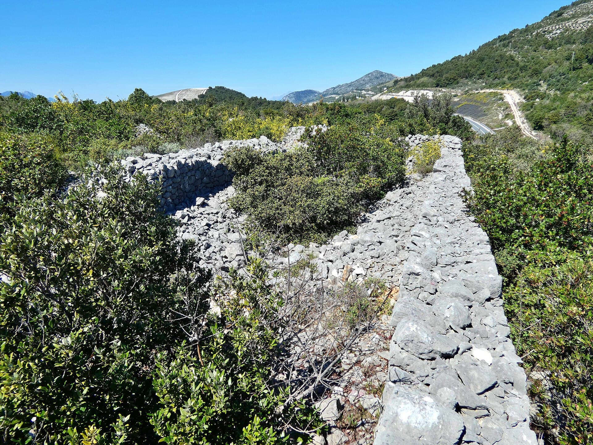
Category:Komarna fort
Landmark · Komarna
The Austrian fort on Glavica above Komarna preserves a gun position that once controlled the entrance to Neum–Klek Bay.
9 km from Žuljana
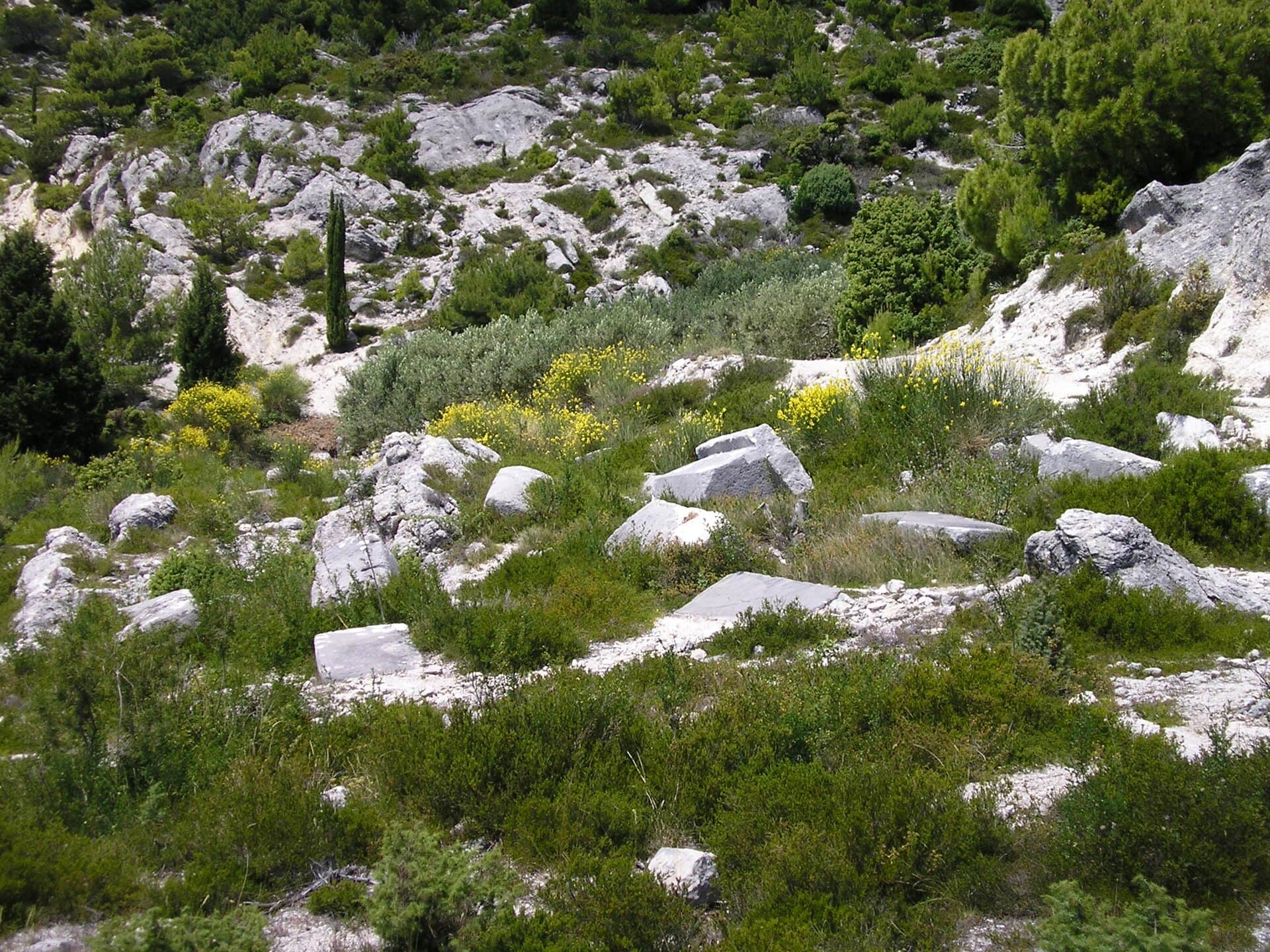
Greblje necropolis
Landmark · Klek
The Greblje stećci necropolis is a late-medieval burial ground on the slopes of Mount Orlovac, north of the village of Provića.
11 km from Žuljana
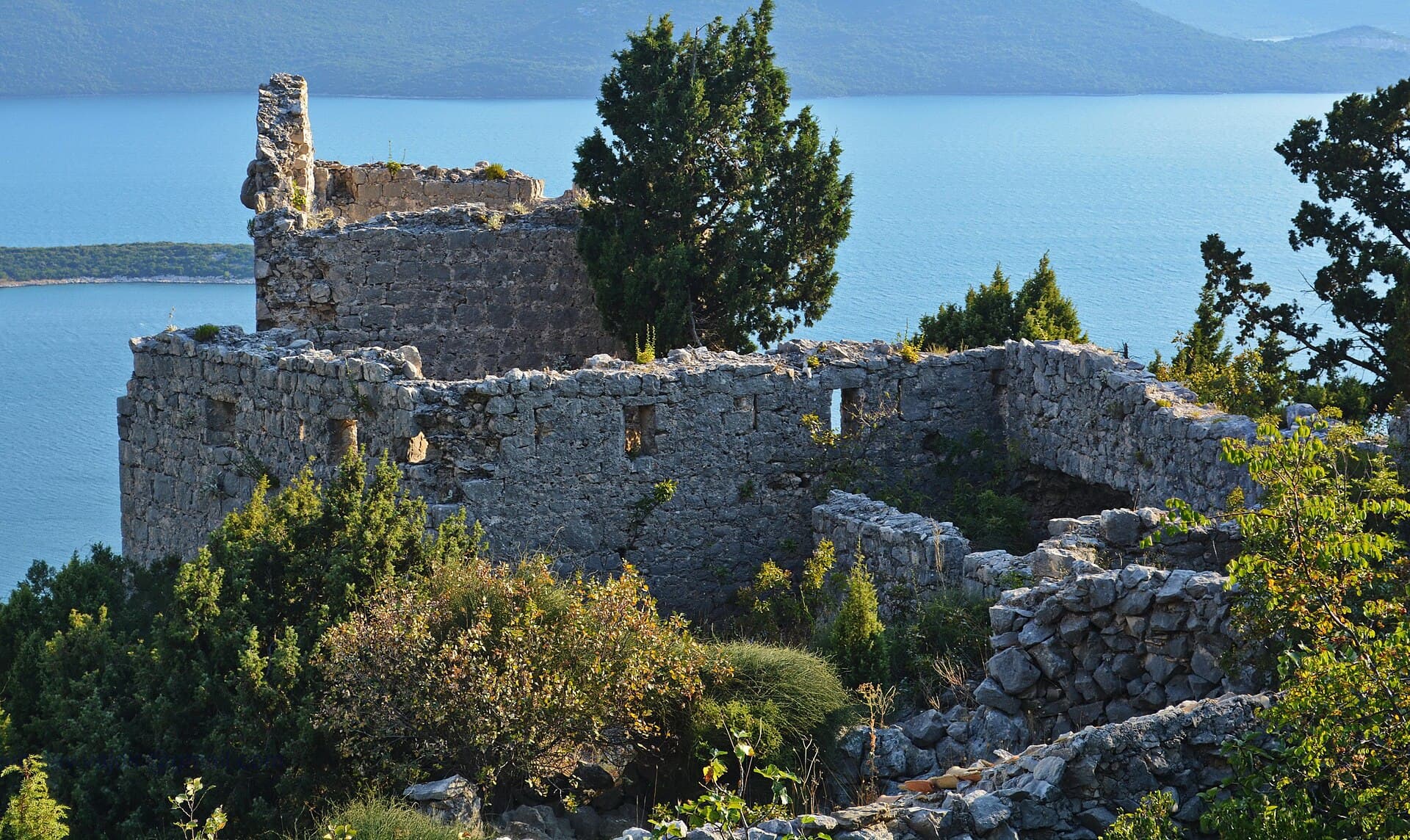
Smrdan grad
Landmark · Klek
Smrdan Grad is a defensive complex from 1688 on the hillside above Klek.
11 km from Žuljana
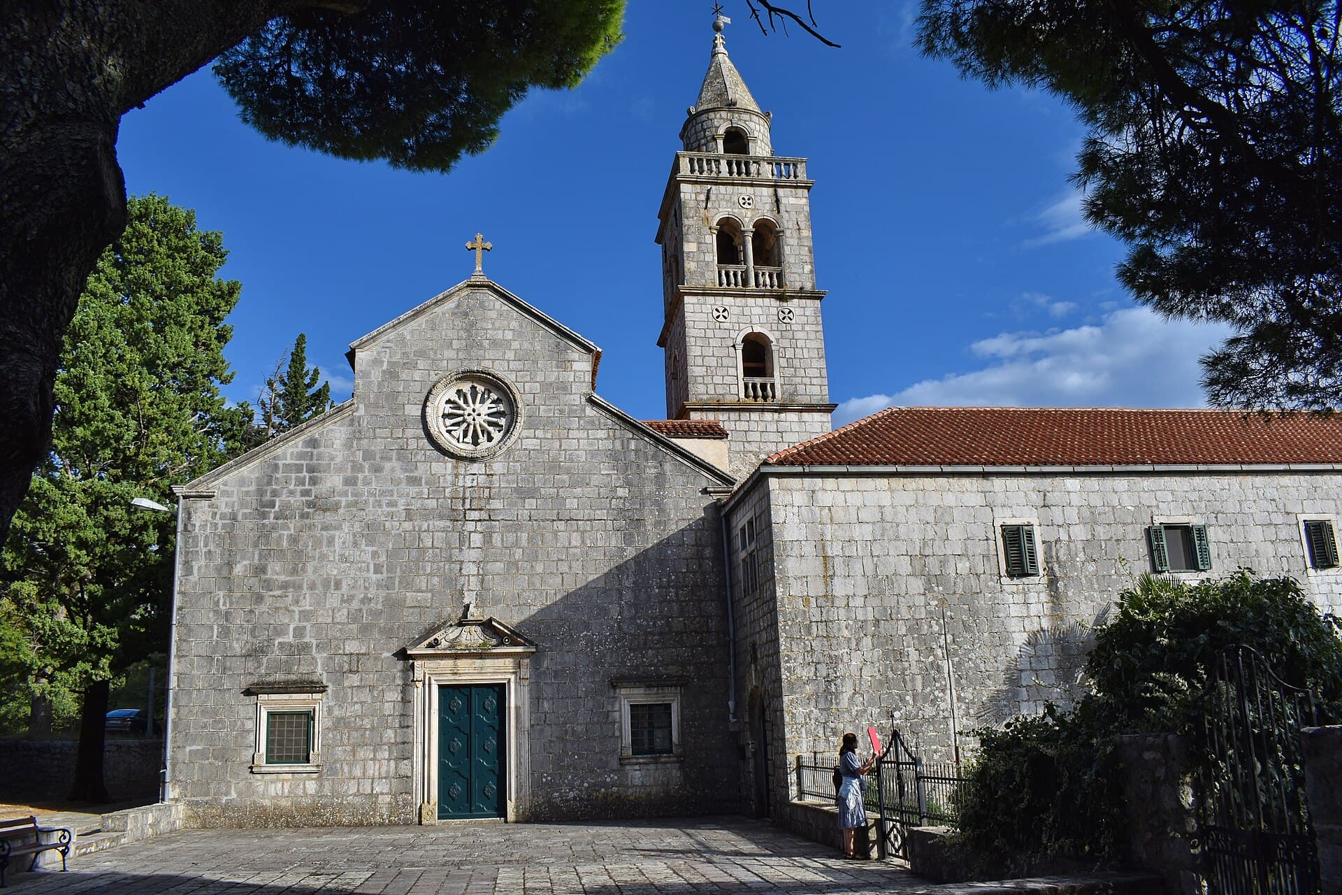
Franciscan monastery, Kuna Pelješka
Landmark · Kuna Pelješka
The Franciscan Monastery of Our Lady of Loreto, known as Delorita, is a religious and artistic landmark of Kuna Pelješka.
12 km from Žuljana
Stays nearby
- Apartment
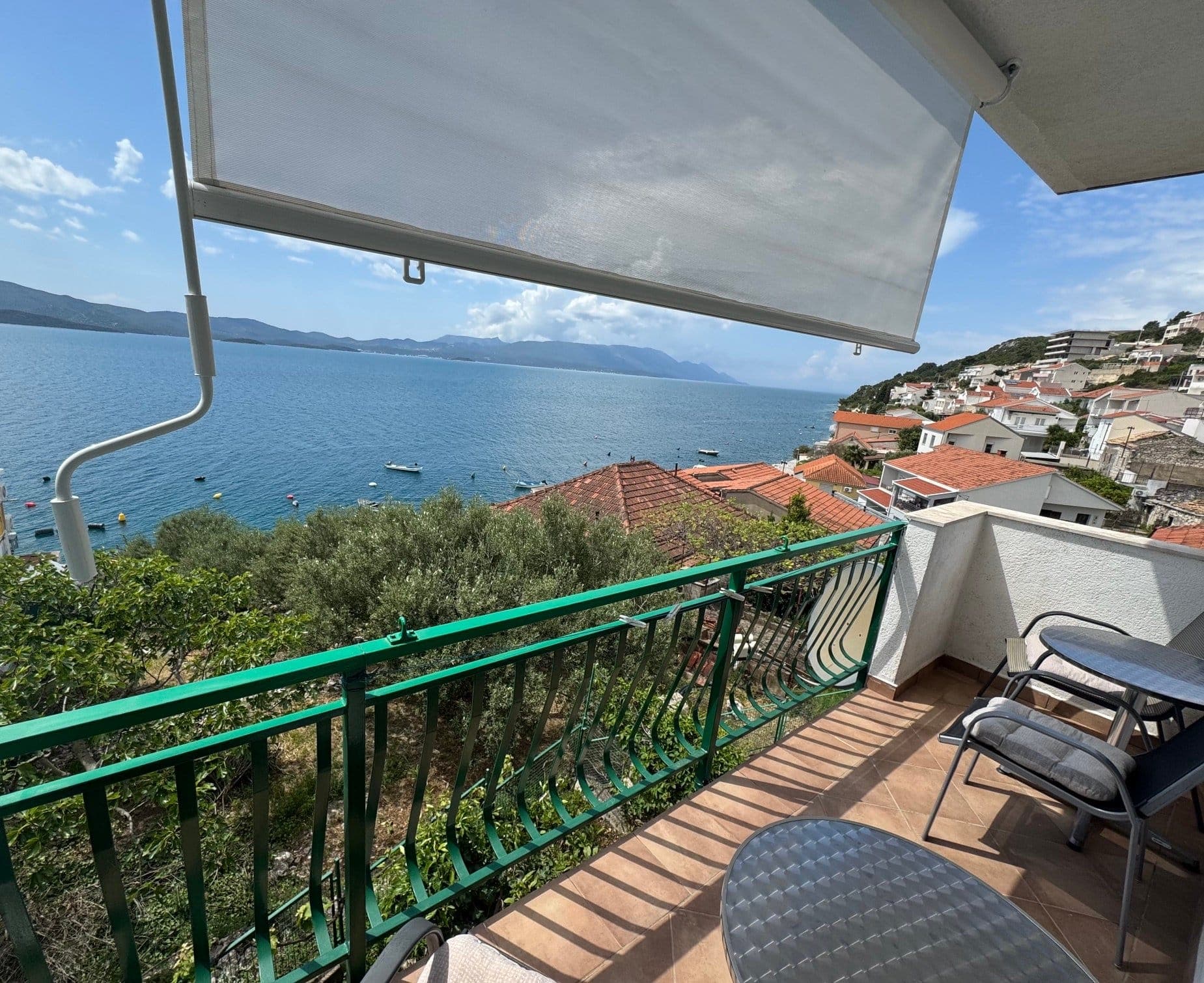 9 km from Žuljana
- Apartment
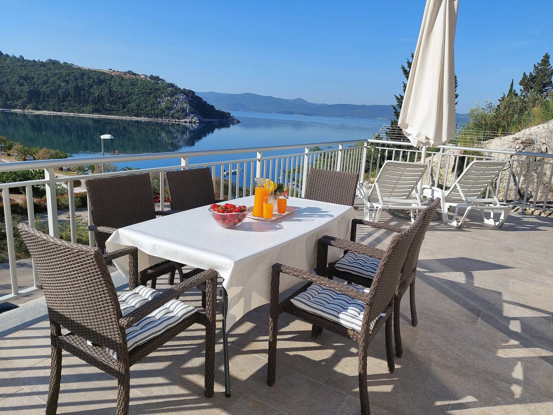 16 km from Žuljana
Apartman Frana DeLux - prvi red do mora, plaža 20 m
Opuzen
up to 6 guests · 2 bedrooms
from €100 / night
Check availability
Be the first to list here
Guests looking for this place only see stays nearby for now. No commission, and enquiries come straight to you.
List your accommodation
Beaches
Žuljana’s main beach lies directly beside the village and is distinguished by sand, an unusual surface on this part of Pelješac. The neighbouring Vučine cove provides swimming spots along a rockier shore, while compact Kremena has small pebble beaches beneath pines that remain shaded until around midday. More secluded coves continue beneath the cliffs along the bay’s northern edge towards Grdni do. Their approaches are comparatively difficult and unsuitable for young children or visitors with limited mobility. Parking near these outer coves is restricted, making the walk from central Žuljana the more practical choice.
Bathing water quality nearby
- Žuljana · 62 mexcellent
Source: European Environment Agency (EEA); data from Croatian authorities. · bathing water profile
Things to do
Begin on the sandy beach in Žuljana Bay, then follow the waterfront towards Kremena, where a path from the Church of Our Lady of Seven Sorrows also leads down to smaller pebble beaches. Continue swimming at Vučine, the cove below the same church, before returning to Žuljana by road; beaches beneath the cliffs on this stretch of Pelješac are less accessible for children and visitors with reduced mobility. End the day overlooking Žuljana’s west-facing sandy bay, roughly midway along the peninsula.
Food and drink
The official visitor listings for Žuljana include Konoba Ankora at Kraj 44, Restaurant Riva at Riva 5, plus Nomad, Solar and the Fjaka family farm. Their waterfront locations make it possible to remain by the bay after swimming instead of driving towards Ston for dinner. Fish, olive oil and wines from the peninsula provide the local culinary frame, though current menus and opening days are best confirmed directly. Ankora, Riva and Fjaka have telephone contacts published in the Ston area’s tourism brochure, particularly useful outside the busiest summer weeks.
Tours and activities
AdAd · partner offers: Viator, GetYourGuideThe partner handles booking, payment and support. StayBravo may earn a commission on bookings made through these links.How we choose offersWe choose offers based on the page you are viewing: the partner destination for this place or the nearest one (with its distance), and on a sight page only offers that mention it. We show offers rated at least 4.3 with at least 10 reviews, without multi-day tours or pure transfers, ordered by rating adjusted for the number of reviews and then by the partner’s order. We do not use data about you, and the commission does not affect the order.GetYourGuide offers are selected and ordered by GetYourGuide based on the name of the nearest larger town or national park; we do not influence their selection and do not use data about you.Viator
Nearest destination: Korčula (27 km)
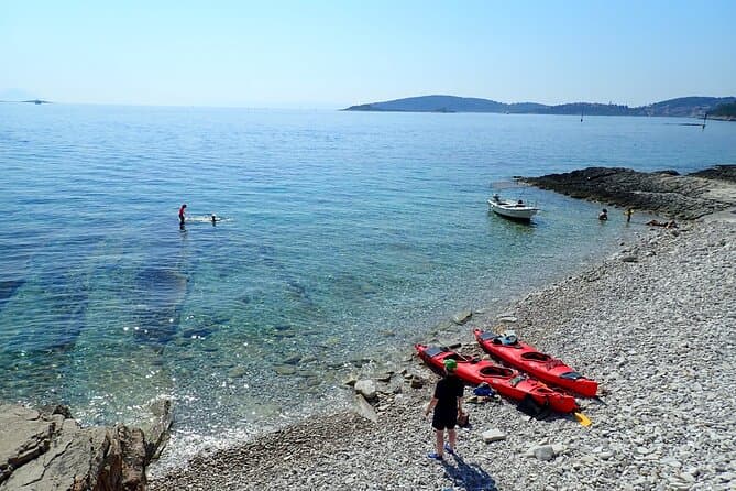
Bits of History - Half day kayak Tour with Wine delight (opens in a new tab)
Spirit of Korkyra is a small, family-run business - not a franchise. Boris and Ivka built it from scratch, and Ivka grew up right here in Lumbarda. We take you to places bigger tours can't reach…
Rated 5 out of 5 · 205 reviews· 5 h
Free cancellation
from €65
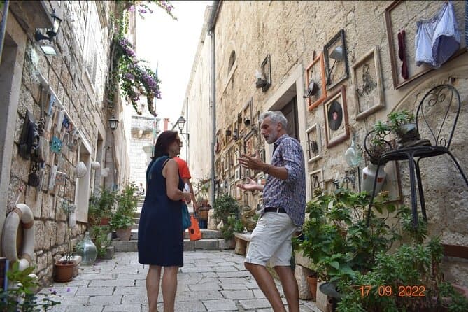
1 Hour Private Walking Tour in Korcula (opens in a new tab)
Korčula is a wonderful place to visit! History, art and present day life tell the story of a town sculpted in white stone 1000 years ago. You'll also hear about Marco Polo and his complicated and…
Rated 5 out of 5 · 103 reviews· 1 h
Free cancellation
from €35
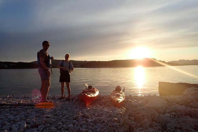
Lumbarda-Sunset Kayaking Experience with picnic: Wine and Sweets (opens in a new tab)
Spirit of Korkyra is a small, family-run business - not a franchise. Boris and Ivka built it from scratch, and Ivka grew up right here in Lumbarda. We time this tour to end golden hour on the water…
Rated 5 out of 5 · 62 reviews· 3.5 h
Free cancellation
from €65

Wine tour Korčula - private tour (opens in a new tab)
Our excursion starts at the view point of Korčula, where you can take a couple of photos. The first vinyards we are going to visit are situated in Lumbarda and are famous for Grk, an autochtonous…
Rated 4.9 out of 5 · 27 reviews· 3–4 h
Free cancellation
from €151.31
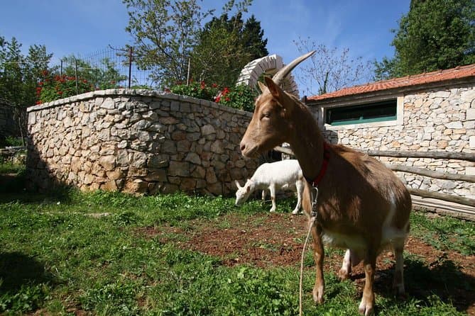
Korcula Island Mountain E Bike Private tour with lunch (opens in a new tab)
Enjoy a half-day mountain E- bike private tour on Korcula Island. Explore roads full of olive trees and vineyards. Visit a Local Winery for a wine tasting. Swim in one of the secluded beaches and…
Rated 5 out of 5 · 20 reviews· 4 h
Free cancellation
from €180

Mljet National park Private Yacht Excursion from Korcula Island (opens in a new tab)
This is a Yacht Tour to the island of Mljet from Korcula. The National Park is famous for its two salt sea lakes and the 12th-century Benedictine monastery. Travel on a luxury yacht at intimate…
Rated 5 out of 5 · 18 reviews· 6 h
Free cancellation
from €700
GetYourGuide · Korčula
We show GetYourGuide offers once you allow their cookies.
Practical information
Practical information
Visitor information for Žuljana is provided by the Ston municipal tourist board, based at Gundulićeva poljana 1 in Ston. The village beach, harbourfront and central churches occupy a compact coastal area and are most easily covered on foot. Reaching Kremena, Vučine and Our Lady of Seven Sorrows involves local lanes and paths, while the beaches beneath the cliffs are not suitable for reduced mobility. Ston lies about 25 kilometres to the south-east, making it the practical place to plan broader supplies and administrative errands during a stay in Žuljana.
Getting there and around
Žuljana connects to Pelješac’s principal road corridor by county road Ž6226, which climbs inland from the village to the peninsula route. Ston is approximately 25 kilometres away; drivers arriving over the Pelješac Bridge continue through the central part of the peninsula. Žuljana has neither a railway nor a scheduled ferry terminal: its small harbour serves the bay, while regular ferry links use other Pelješac ports. Public information on local bus departures is limited, so any same-day connection should be checked before travel; a car remains the most dependable way to reach the village.
Frequently asked questions
Which beach in Žuljana is sandy?
The main village beach is sandy, while Kremena has smaller pebble coves.
Which Žuljana chapel dates from 1630?
Žuljana’s chapel of St Nicholas dates from 1630.
Can Kremena be reached on foot from Žuljana?
Yes. Kremena can be approached from the waterfront or by the path near Our Lady of Seven Sorrows.
How far is Ston from Žuljana?
The Croatian Encyclopaedia places Žuljana about 25 kilometres north-west of Ston.
Which restaurants are listed in Žuljana?
The local tourist board lists Ankora, Riva, Solar, Nomad and the Fjaka family farm.
Nearby
Žuljana
Open in OpenStreetMap(opens in a new tab)Smaller places
straight-line distance
Related guides
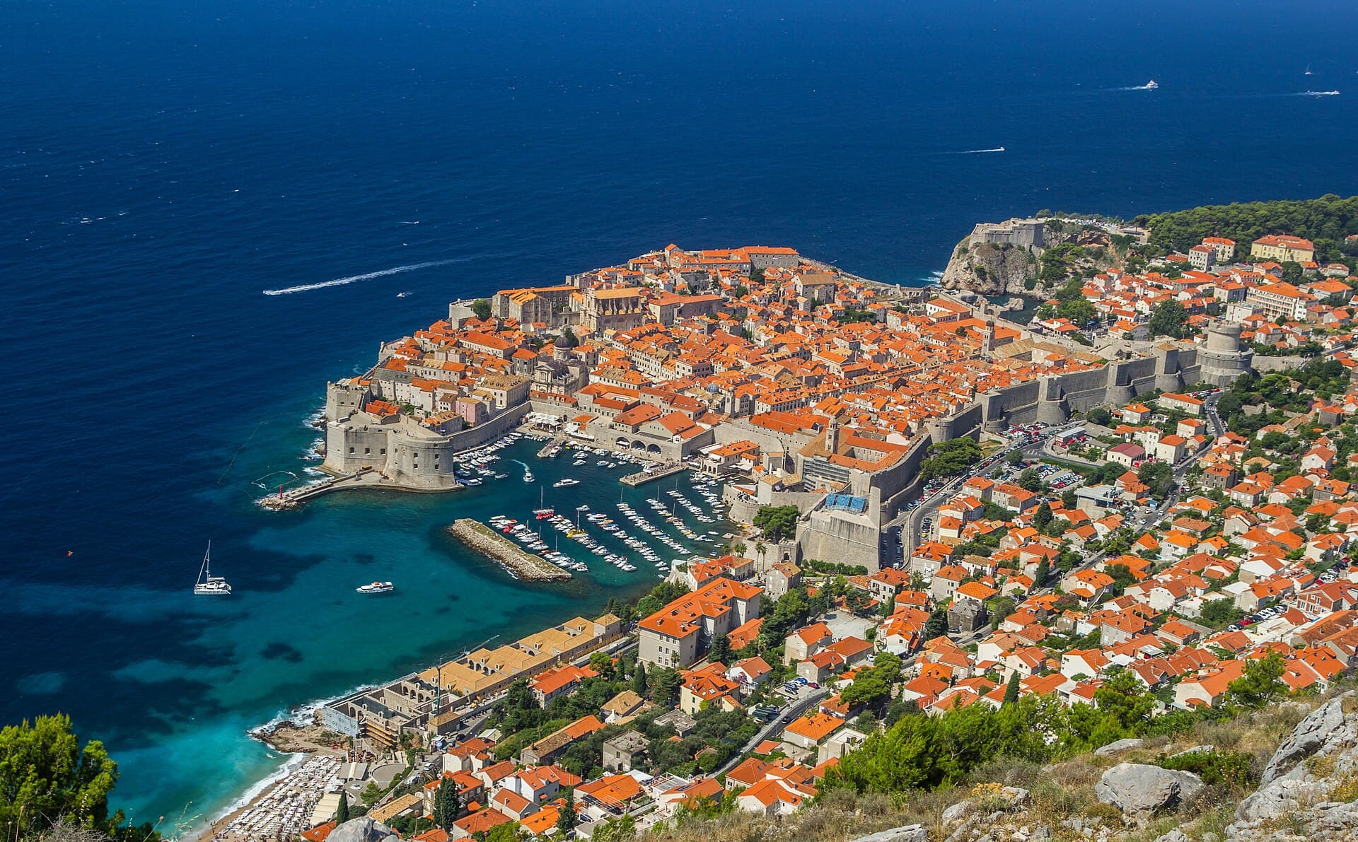
Dubrovnik
Dubrovnik’s historic centre is organised around Stradun, yet its character changes within a few steps of that main street. At the western end beside Pile stand the Large Onofrio Fountain,…
Read the guide

Orebić
Orebić is the main settlement of south-western Pelješac and has been tied to seafaring for centuries. Captains’ houses and gardens along the coastal area recall the period when Orebić…
Read the guide
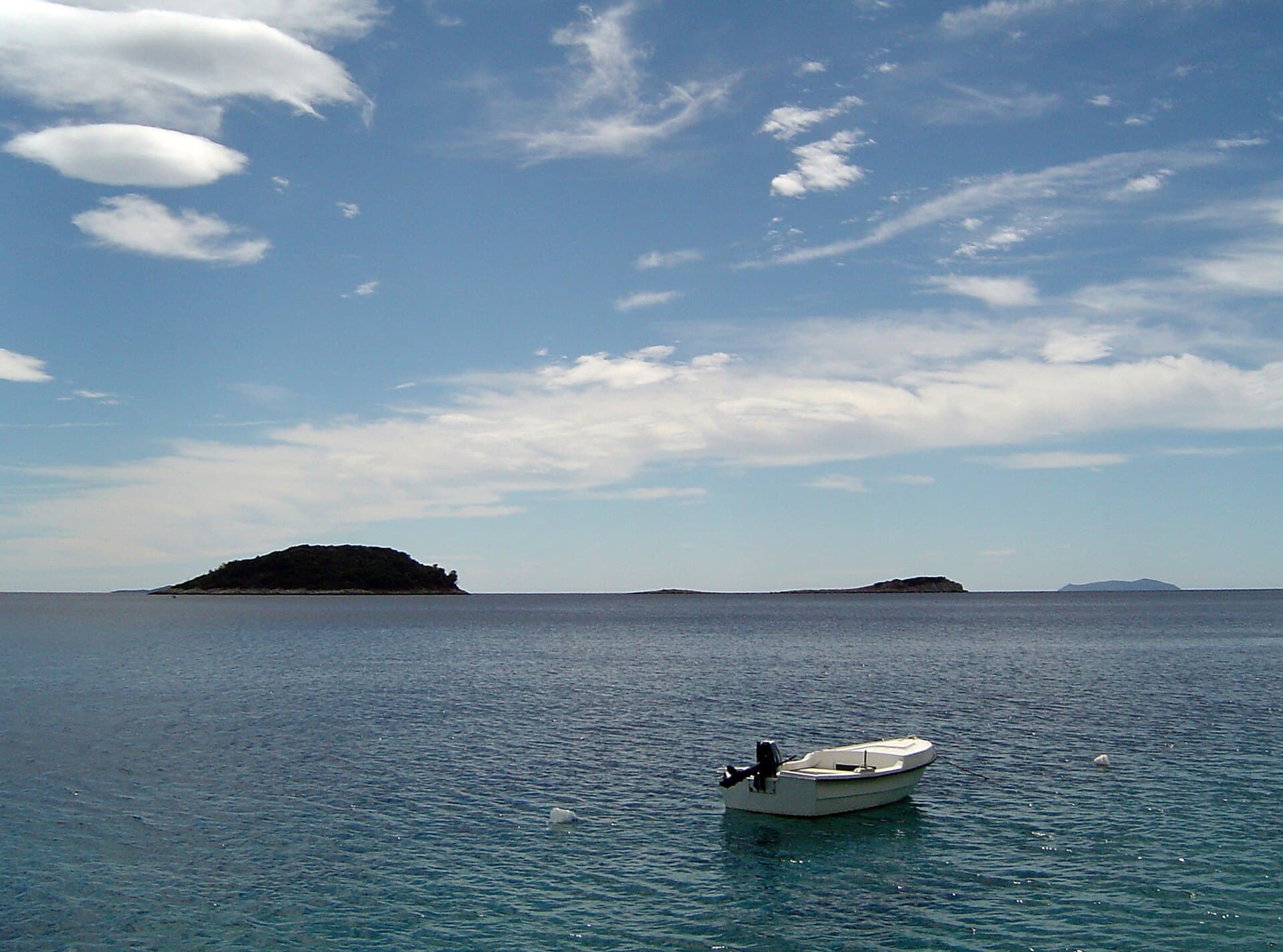
Blato, Korčula
Blato is not a seaside centre but a historic inland settlement in western Korčula’s fertile interior, while its municipality reaches Prigradica on the north coast and Prižba, Gršćica,…
Read the guide
Vela Luka
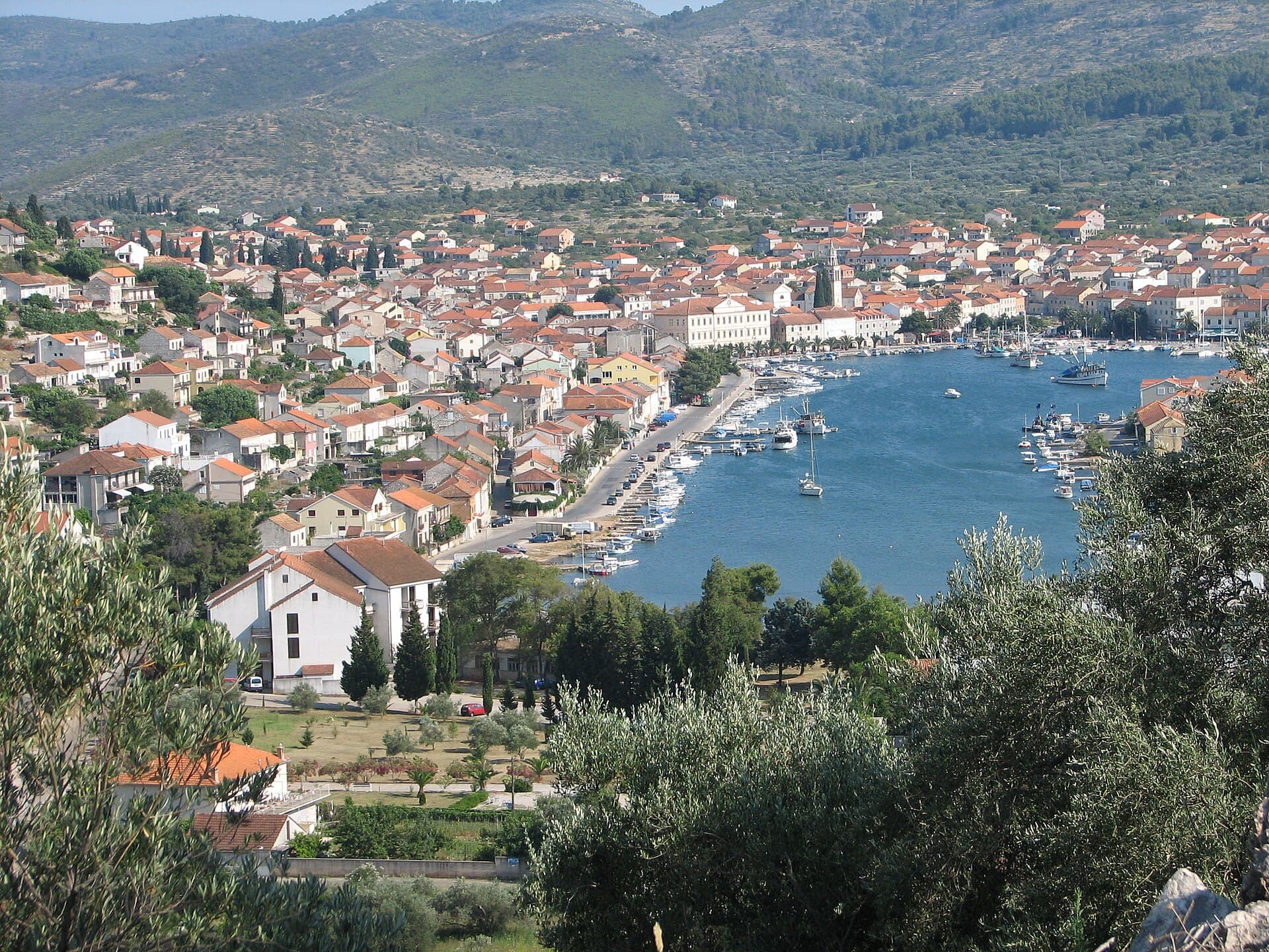
Vela Luka grew at the head of a deep bay on western Korčula, where a long waterfront links the harbour, the centre around St Joseph’s Church and the former shipbuilding area. Its maritime…
Read the guide
Know Žuljana? Correct us
Tell us in your own words what is not accurate. We check right away.Do not enter personal data. Corrections are checked by the StayBravo AI assistant; changes to the description are approved by an editor. Use the form instead
Do you know Žuljana?
Help the guests who come after you.
Help us complete
Nothing is published without an editor’s review.Report illegal content
Photo credits: Žuljana — F.Krikava, Znojmo (CC BY-SA 3.0) · Dubrava — Martin Brož (CC BY 3.0) · Drače, Janjina — Quahadi Añtó 06:41, 26 April 2010 (UTC) (CC BY-SA 3.0) · Janjina — Aqwis (CC BY-SA 3.0) · Putniković — Quahadi Añtó 07:55, 1 April 2012 (UTC) (CC BY-SA 3.0) · Sreser — Quahadi Añtó 09:52, 5 December 2011 (UTC) (CC BY-SA 3.0) · Brijesta — Bracodbk (CC BY-SA 3.0) · Komarna — User: (WT-shared) Matulini at wts wikivoyage (Public domain) · Duboka, Slivno, Greblje necropolis — Ma▀▄Ga (CC BY 3.0) · Osobjava — Quahadi Añtó 07:02, 6 December 2011 (UTC) (CC BY-SA 3.0) · Category:Komarna fort — Ma▀▄Ga (CC BY 4.0) · Smrdan grad — Miroslav Vajdic from Zagreb, Croatia (CC BY-SA 2.0) · Franciscan monastery, Kuna Pelješka — Miroslav.vajdic (CC BY-SA 4.0) · Apartmani Stella — Zvjezdana Bebić (courtesy of the property owner) · Apartman Frana DeLux - prvi red do mora, plaža 20 m — Ivan Mador (courtesy of the property owner) · Dubrovnik — Zysko serhii (CC BY-SA 4.0) · Orebić — Quahadi Añtó 11:23, 15 January 2011 (UTC) (CC BY 3.0) · Blato, Korčula — d.graso (CC BY 3.0) · Vela Luka — Wojtkow (CC BY-SA 4.0)